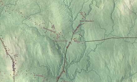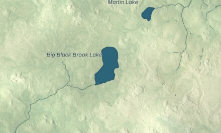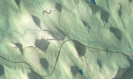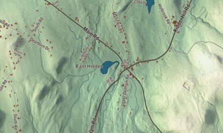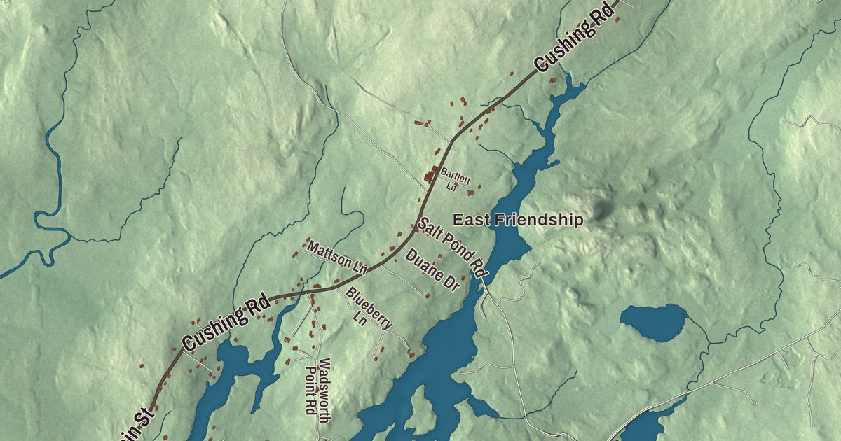
East Friendship, Lawry and Martin are names to find on this Friendship map before you look toward Forest Pond and Crystal Pond. Main Street, Harbor Road and Waldoboro Road are printed among the roads. Click here to purchase a print of this map for your wall.
Friendship is a town in Knox County, on a peninsula between Muscongus Bay and the Friendship River.
The town’s buildings, neighborhoods, roads and waterways appear together within its boundary. KNOWOL made this map in 2026 from public survey data, with the look of an old atlas. United States Geological Survey elevation data shades the terrain, and Census Bureau files provide the roads and town line. Friendship had 1,142 people at the 2020 census.
From Meduncook to Friendship
The settlement was once called Meduncook and belonged to the Waldo Patent. English settlement began in 1743, and Meduncook Plantation was incorporated as Friendship on February 25, 1807. The modern town retains its own municipal identity on the coast.
By the middle of the nineteenth century, shipbuilding and mills were part of local work. Later manufacturers made sails, carriages, boots and shoes. Boatbuilding remained important, and the town gave its name to a working sailboat that still has followers today.
The Friendship sloop
The Friendship sloop developed around 1880 among fishermen in Friendship and neighboring Bremen. The design was used for lobstering and local commerce. Wilbur A. Morse was among its principal builders, and the boats combined a single mast and gaff rig with a small cabin and an open working cockpit.
One person could sail the boat and haul traps, while the hull could carry a substantial load. Motors were later added, and powered fishing boats eventually displaced the sloops in commercial work. Some of the old boats became sailing yachts, and modern wooden and fiberglass versions continue the design.
The Friendship Sloop Society preserves the type’s history and holds races in Maine. The design belongs to a shared local boatbuilding tradition, rather than to one inventor working alone. Friendship and Bremen both appear in that account of its origins.
A schoolhouse museum
The Friendship Museum opened in 1964 in a former one-room schoolhouse. The building served as Friendship Grammar School from 1851 to 1923. Its collections include ship models and plans for Friendship sloops.
The author John Cheever wrote The Wapshot Chronicle while vacationing in Friendship. The novel was published in 1957. The boatbuilding collections and Cheever’s visit are different parts of the town’s story, one tied to local work and one to a writer’s stay.
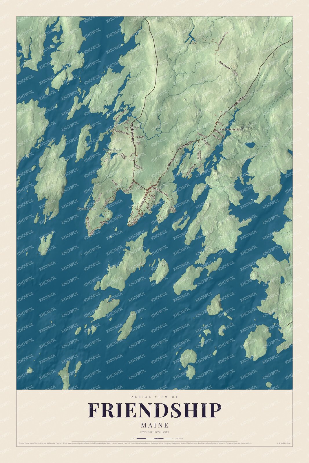
Click to explore a larger preview. The digital watermark does not appear on printed maps.
See it on a wall
The Friendship map as a framed print. Swipe for more.


Roads and ponds inland
Main Street, Waldoboro Road, Cushing Road, Flood’s Road, Harbor Road and Finntown Road are printed by name. East Friendship, Lawry and Martin are printed too. Forest Pond and Crystal Pond give you two water names to locate in the same aerial view.
The town includes several islands and borders Waldoboro to the northwest and Cushing to the east. Routes 97 and 220 cross Friendship. You can follow the named roads in the preview, then look more closely at the other streets and the buildings drawn around them.
For people who call Friendship home, this map keeps familiar roads, neighborhoods and ponds together as it looks today. It can hang in an office, library or den and help teach children the geography and history of a boatbuilding town. Zoom in on the preview above to explore the details, then click here to get your copy of the Friendship, Maine map.

Sources