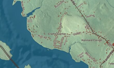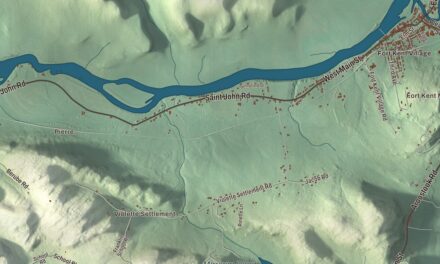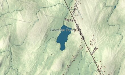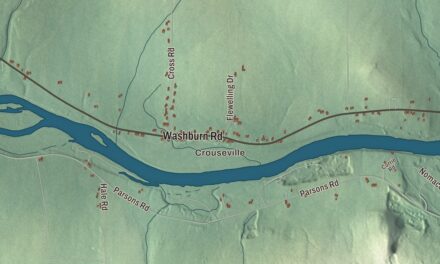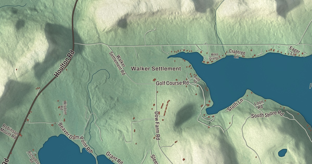
Walker Settlement and West Branch Mattawamkeag River give you places to begin on the Island Falls map. The lakes and named roads bring more of the town into view. Click here to purchase a print of this map for your wall.
Island Falls is a town in Aroostook County.
KNOWOL made this map in 2026 from public survey records, combining modern geography with the look of a vintage atlas. United States Geological Survey elevation data shades the terrain. Census Bureau files supply the roads and municipal boundary, with buildings and waterways brought together in an aerial view.
A village by the falls
The primary village stands at falls in the West Branch Mattawamkeag River. The town was incorporated in 1872 and had 758 residents at the 2020 census. Pleasant Lake and Mattawamkeag Lake are identified as its main lakes in the geographical profile.
William Sewall’s home
William Wingate Sewall’s house on Crystal Road was built in 1865. The Greek Revival home was built by his neighbor Osgood Pingree, and it entered the National Register of Historic Places in 1982. Sewall worked on logging drives and developed a lasting friendship with Theodore Roosevelt.
Roosevelt visited Sewall in Maine in 1872 and last stayed here in 1878. The friendship continued afterward, including an invitation to join Roosevelt in the Dakota Territory.
The opera house on Old Patten Road
Island Falls Opera House was built in 1894 near the junction of Old Patten Road, Burleigh Street and Sewall Street. Its spaces combined a store, performance hall and living quarters. It entered the National Register of Historic Places in 1984.
The architectural description records wooden counters and shelving in the store and an original ticket booth in the theatre lobby. The performance space occupies the upper levels of the building, with Palladian-style windows as part of the exterior design.
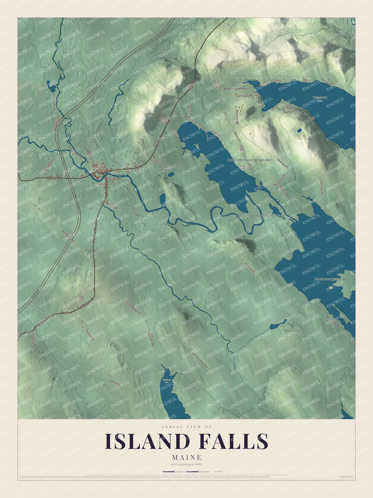
Click to explore a larger preview. The digital watermark does not appear on printed maps.
See it on a wall
The Island Falls map as a framed print. Swipe for more.


Exploring Island Falls
Walker Settlement, Mattawamkeag Lake, Upper Mattawamkeag Lake, Mud Pond and West Branch Mattawamkeag River have printed names. Houlton Road, Crystal Road, Pine Tree Road, Sherman Street, Old Patten Road and Hurricane Ridge Road are named too. The roads, lakes, river and terrain form one aerial view within the municipal boundary.
For people who call Island Falls home, this map brings familiar roads and places together as it looks today. It can hang in an office, library or den, or help teach children the geography and history of the area. Zoom in on the preview above to explore the details, then click here to get your copy of the Island Falls, Maine map.

Sources