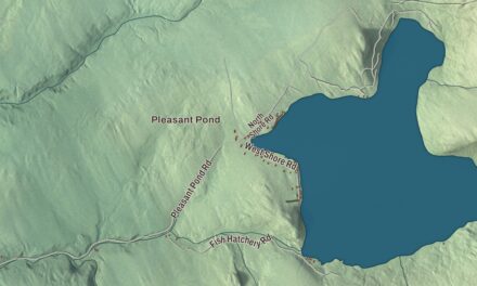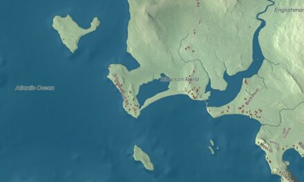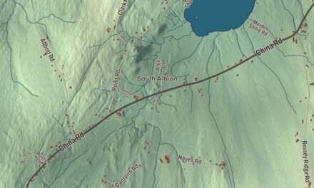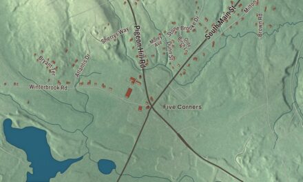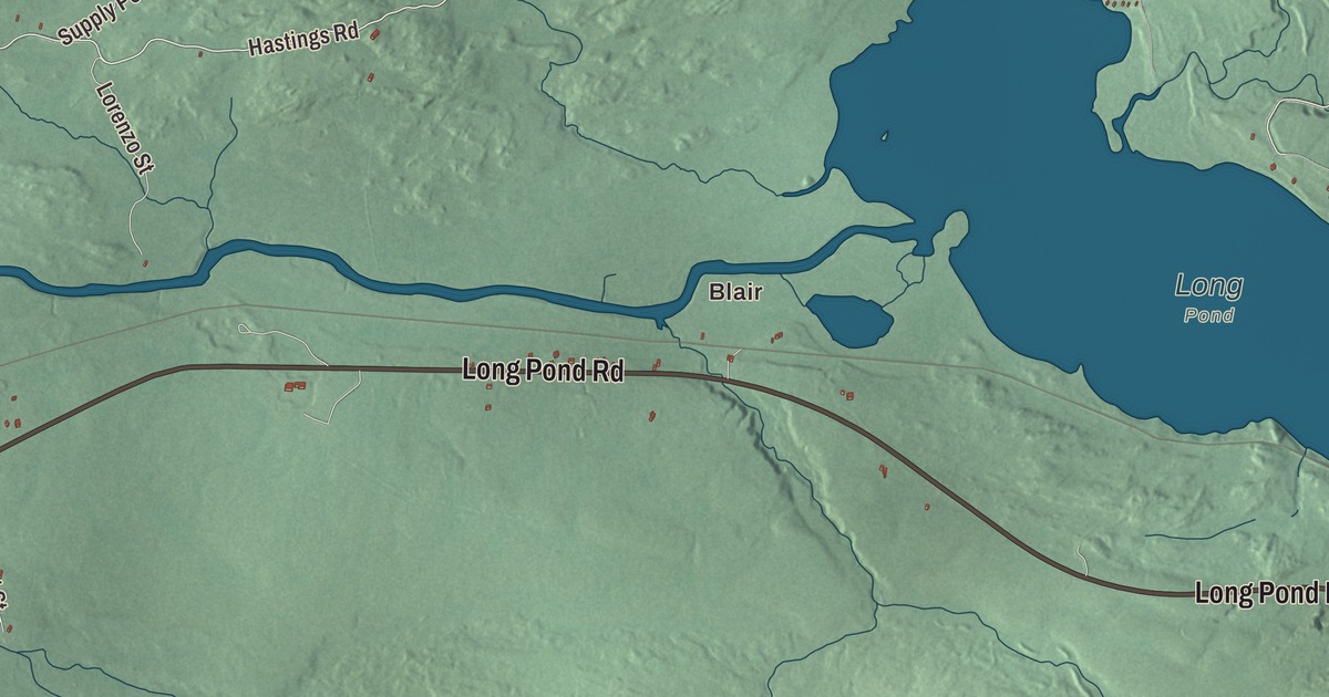
Blair and Main Street may be where you start exploring Jackman. This aerial view also lets you look over Long Pond Road and the buildings along the town’s other named roads. Click here to purchase a print of this map for your wall.
Jackman is a town in Somerset County.
KNOWOL made this map in 2026 using public survey records, United States Geological Survey elevation data and Census Bureau files. We arranged Jackman’s roads, buildings, and terrain, the town boundary and the pattern of buildings with the relief, lettering and layout of an atlas.
A road to Canada
Jackman takes its name from Captain James Jackman. Maine hired him in the 1830s to build a road connecting the United States and Canada. Jackman was organized as a plantation in 1895 and became a town under a 1957 act of the Maine Legislature.
The International Railway of Maine connected Jackman to the Canadian Pacific network in 1889. In 1915, the Jackman Lumber Company built the Bald Mountain Railroad, which carried logs to its sawmill until 1926. Passenger service through Jackman ended in 1994, after an earlier interruption and resumption.
Jackman was in the path of the total solar eclipse on April 8, 2024. More than 10,000 visitors came to the town for the event.
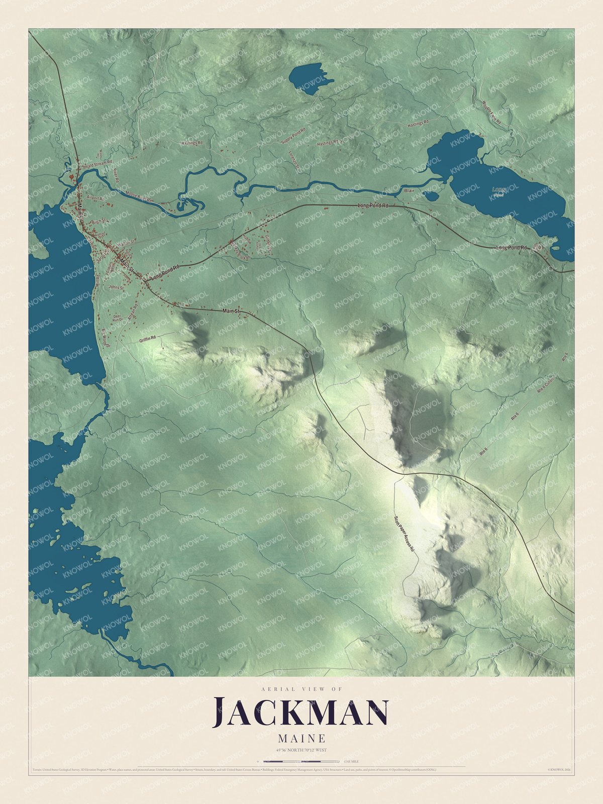
Click to explore a larger preview. The digital watermark does not appear on printed maps.
See it on a wall
The Jackman map as a framed print. Swipe for more.


Explore the Jackman map
Blair is printed on the map, along with Main Street and Long Pond Road. Gilbert Street, Hastings Road, Spruce Street and Whipple Farm Road complete the road names to look for.
Compare those names with the pattern of buildings and the surrounding terrain. You can follow the drawn streets in the larger preview, then return to a road you know.
This map shows Jackman as it looks today, made for people who call Jackman home. Hang it in your office, library, or den, or use it to teach children the geography and history of the area. Zoom in on the preview above to explore the details, then click here to get your copy of the Jackman, Maine map.

Sources