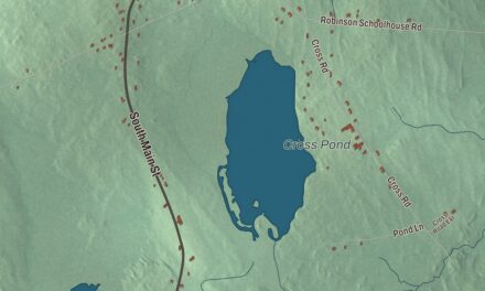
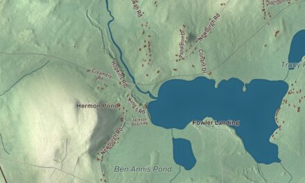
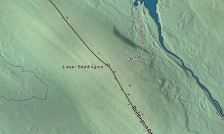
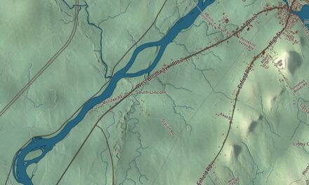
Soule Mill and Main Street may be where you begin looking over Kingfield. Find Tufts Pond and the roads you know, then explore the buildings and terrain in this aerial view. Click here to purchase a print of this map for your wall.
Kingfield is a town in Franklin County.
KNOWOL made this map in 2026 using public survey records, United States Geological Survey elevation data and Census Bureau files. We arranged Kingfield’s roads, buildings, ponds and waterways, and terrain, the town boundary and the pattern of buildings with the relief, lettering and layout of an atlas.
A river town
William King purchased the township in 1807, before becoming Maine’s governor. Kingfield incorporated in 1816. The Carrabassett River powered sawmills and other enterprises, including a carding mill, flour mill, tannery and rake factory.
Those historic mills have closed. A narrow-gauge railroad also served Kingfield until 1936, and residents began developing Sugarloaf as a ski resort in the early 1950s.
The Stanley family
The Stanley twins, Francis Edgar and Freelan Oscar, grew up in Kingfield. They developed photographic dry plates and the steam-powered automobile called the Stanley Steamer. Eastman Kodak bought their dry-plate business in 1903.
Their sister Chansonetta Stanley Emmons was born here in 1858. Her photographs recorded domestic life and rural New England, including Maine farms and families. The Stanley Museum in Kingfield preserves the family’s history.
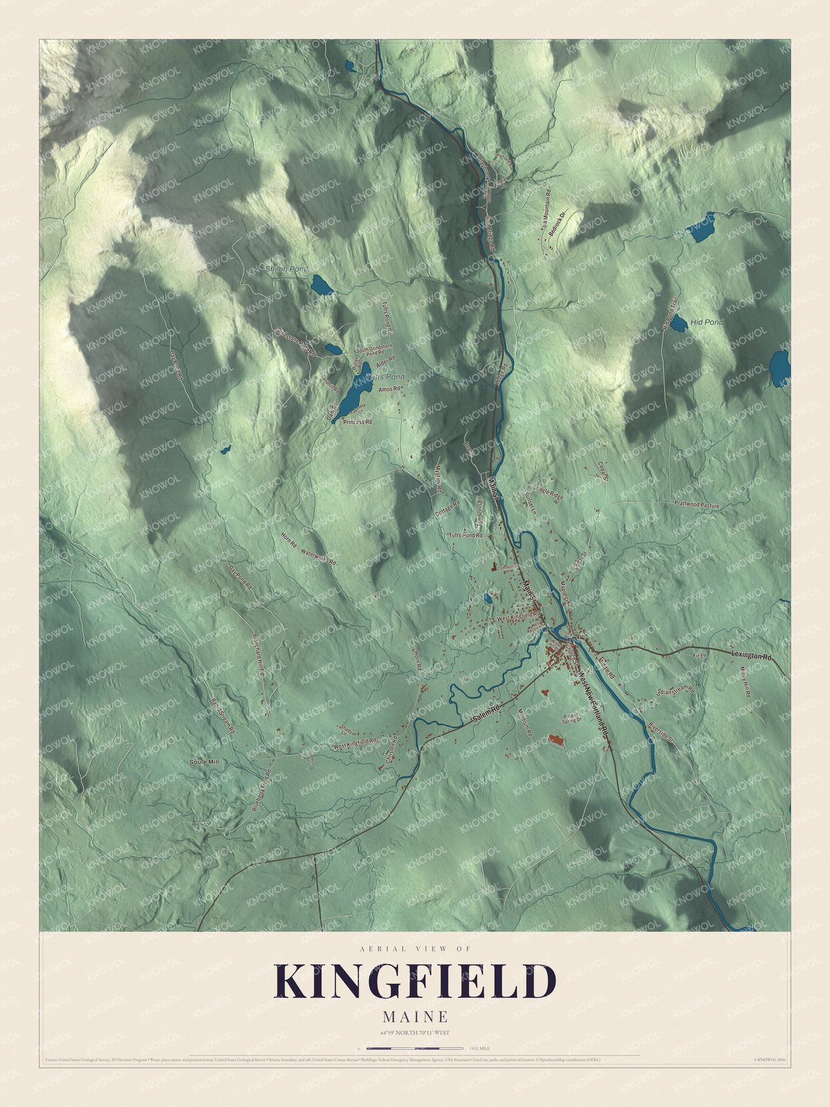
Click to explore a larger preview. The digital watermark does not appear on printed maps.
See it on a wall
The Kingfield map as a framed print. Swipe for more.


Explore the Kingfield map
Soule Mill, Tufts Pond, Shiloh Pond and Hid Pond are printed names on the artwork. West New Portland Road, Lexington Road and Main Street are printed roads.
Salem Road, Church Street and Tufts Pond Road give you more names to follow. Compare them with the buildings and terrain as you explore the town in the preview.
This map shows Kingfield as it looks today, made for people who call Kingfield home. Hang it in your office, library, or den, or use it to teach children the geography and history of the area. Zoom in on the preview above to explore the details, then click here to get your copy of the Kingfield, Maine map.

Sources