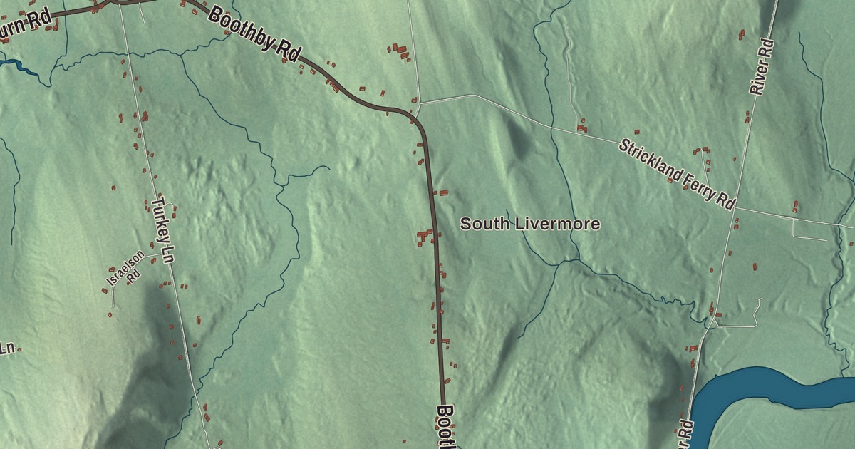
South Livermore and North Livermore are places to begin this Livermore map. Find Boothby Road and Long Pond, then explore the roads and buildings around them. Click here to purchase a print of this map for your wall.
Livermore is a town in Androscoggin County.
KNOWOL made this map in 2026 from public survey records, United States Geological Survey elevation data and Census Bureau files. Its atlas layout brings together Livermore’s streets, buildings, neighborhoods, ponds and waterways, and terrain, the town boundary and the pattern of buildings.
The Washburn family home
Livermore was incorporated in 1795 and named for settler Elijah Livermore. He built a mill near Long Pond in 1782.
The Norlands, also called the Israel Washburn Homestead, was owned by Israel Washburn and his descendants. It forms part of the Washburn-Norlands Living History Center, which interprets a nineteenth-century farm.
The center’s buildings include a mansion, a period schoolhouse, a library with Washburn family displays, a meeting house, a farmer’s cottage and a barn. Together they preserve the family’s home and the setting for its history.
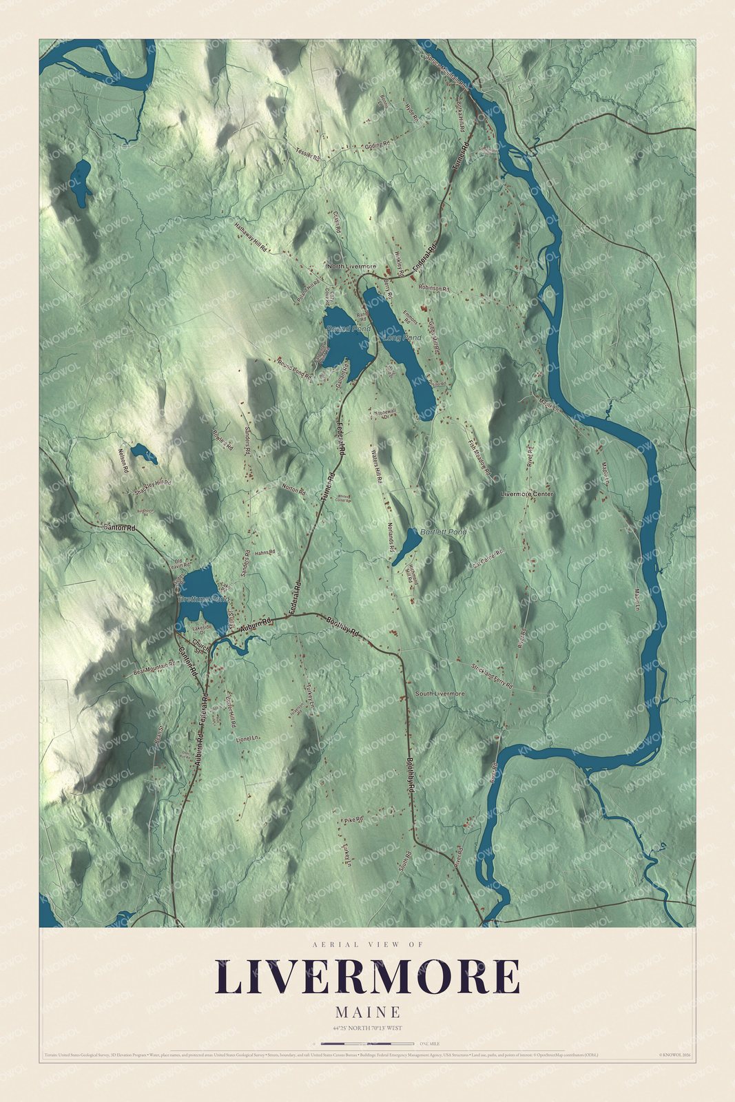
Click to explore a larger preview. The digital watermark does not appear on printed maps.
See it on a wall
The Livermore map as a framed print. Swipe for more.


Explore the Livermore map
South Livermore, North Livermore and Livermore Center are printed places. Boothby Road, Auburn Road, Canton Road, Turner Road, Federal Road and Nelson Road are roads to find on the artwork.
Long Pond, Brettuns Pond, Round Pond and Bartlett Pond are labeled too. Enlarge the preview to examine the buildings and drawn roads around the water and terrain.
For people who call Livermore home, this map shows the town as it looks today. Put it in your office, library, or den, or use it to teach children the geography and history of the area. Zoom in on the preview above to explore the details, then click here to get your copy of the Livermore, Maine map.

Sources