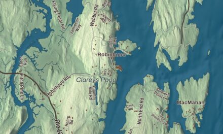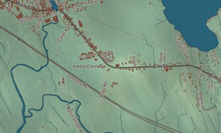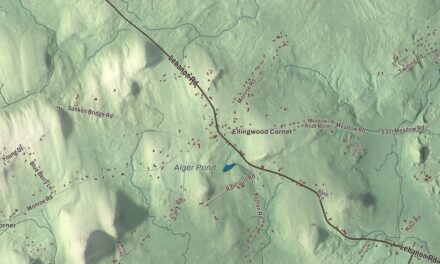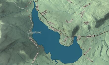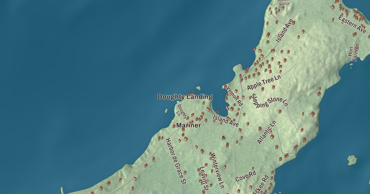
Doughty Landing and Island Avenue give you starting points for this Long Island map. Look for Garfield Street and explore the island town’s coastline, roads and buildings. Click here to purchase a print of this map for your wall.
Long Island is a town in Cumberland County.
KNOWOL made this map in 2026 from public survey records, United States Geological Survey elevation data and Census Bureau files. Its atlas layout brings together Long Island’s streets, buildings, coastline, ponds and waterways, and terrain, the town boundary and the pattern of buildings.
An island town since 1993
Long Island became a separate town on July 1, 1993, after separating from Portland. Its municipal territory also includes several surrounding islands, including Cow Island.
Early island livelihoods included farming, fishing and lobstering. In the early twentieth century, hotels included Dirigo House on Island Avenue and Mountfort Inn on Garfield Street.
In 2006, the town received land that it set aside as a nature conservation preserve. Island residents know the preserve as The Area.
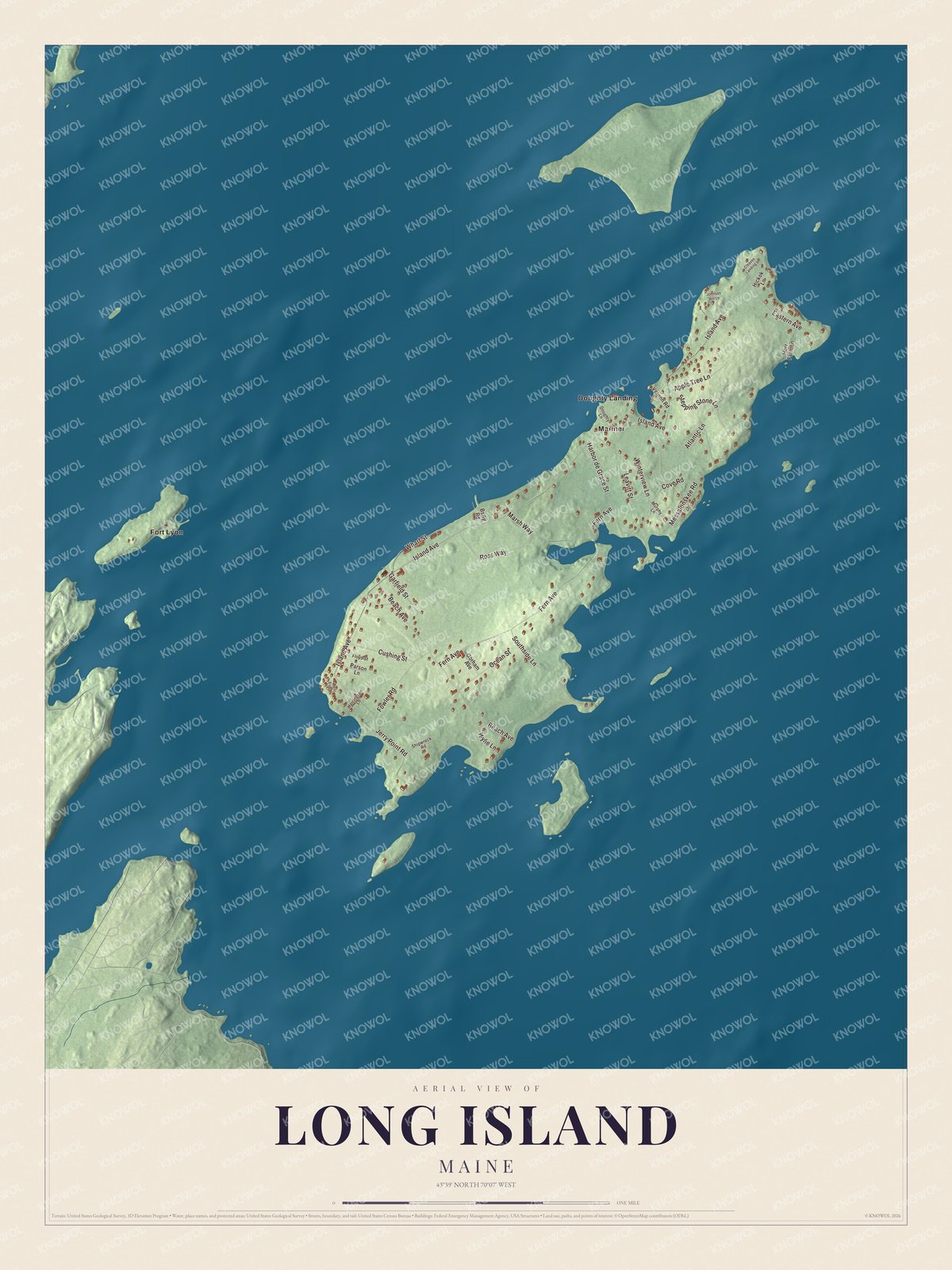
Click to explore a larger preview. The digital watermark does not appear on printed maps.
See it on a wall
The Long Island map as a framed print. Swipe for more.


Explore the Long Island map
Doughty Landing and Mariner are printed names in the aerial view. Garfield Street, Island Avenue, Fern Avenue, Beach Avenue, Atlantic Lane and Leavitt Street are roads to look for.
Fort Lyon is also printed on the map. The former coastal-defense post was on Cow Island, rather than the main island of Long Island, and closed in 1946.
For people who call Long Island home, this map shows the town as it looks today. Put it in your office, library, or den, or use it to teach children the geography and history of the area. Zoom in on the preview above to explore the details, then click here to get your copy of the Long Island, Maine map.

Sources