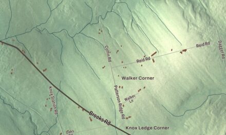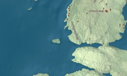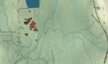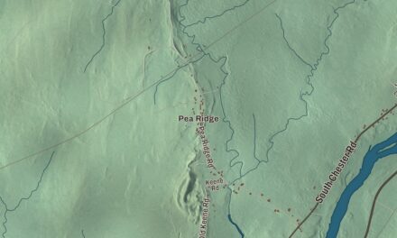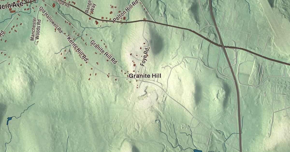
Granite Hill is a starting point for exploring this Manchester map. Find Western Avenue and Hutchinson Pond, then look over the roads and buildings around them. Click here to purchase a print of this map for your wall.
Manchester is a town in Kennebec County.
KNOWOL made this map in 2026 from public survey records, United States Geological Survey elevation data and Census Bureau files. Its atlas layout brings together Manchester’s streets, buildings, ponds and waterways, and terrain, the town boundary and the pattern of buildings.
Samantha Smith wrote a letter
Manchester was incorporated in 1850. The town was once known as The Forks and was named for Manchester, Massachusetts.
Samantha Smith moved with her family to Manchester in 1980 and attended Manchester Elementary School. In 1982, she wrote to Soviet leader Yuri Andropov to ask about peace between his country and the United States.
Andropov replied and invited her to visit the Soviet Union, which she did in 1983. Smith later described the visit in her book Journey to the Soviet Union and hosted a children’s television special about the American presidential election.
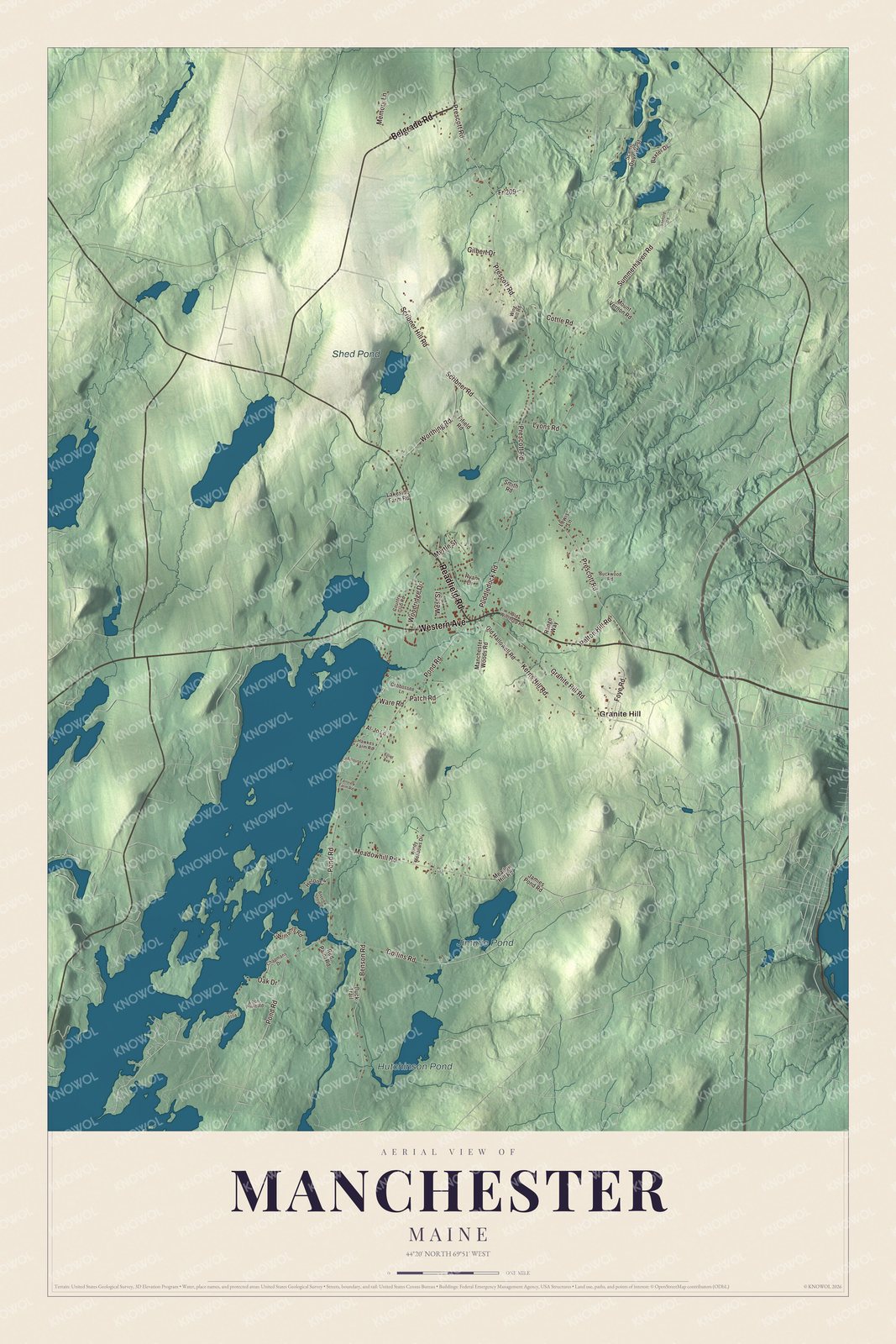
Click to explore a larger preview. The digital watermark does not appear on printed maps.
See it on a wall
The Manchester map as a framed print. Swipe for more.


Explore the Manchester map
Granite Hill, Hutchinson Pond, Jimmie Pond and Shed Pond are printed names on the artwork. Belgrade Road, Western Avenue and Readfield Road are roads to find in the aerial view.
Prescott Road, Meadowhill Road and Pond Road are printed too. Compare the streets with the buildings and water around them, then enlarge the preview to examine a familiar part of town.
For people who call Manchester home, this map shows the town as it looks today. Put it in your office, library, or den, or use it to teach children the geography and history of the area. Zoom in on the preview above to explore the details, then click here to get your copy of the Manchester, Maine map.

Sources