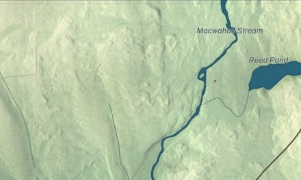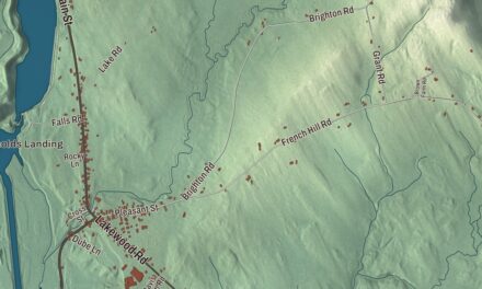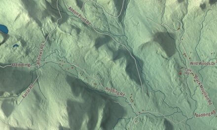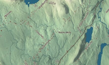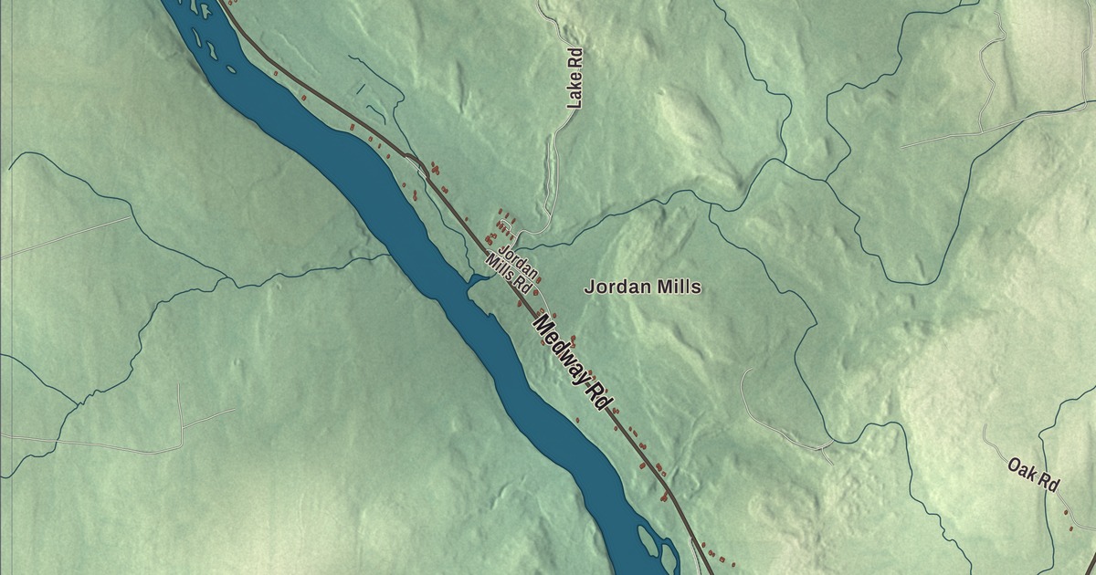
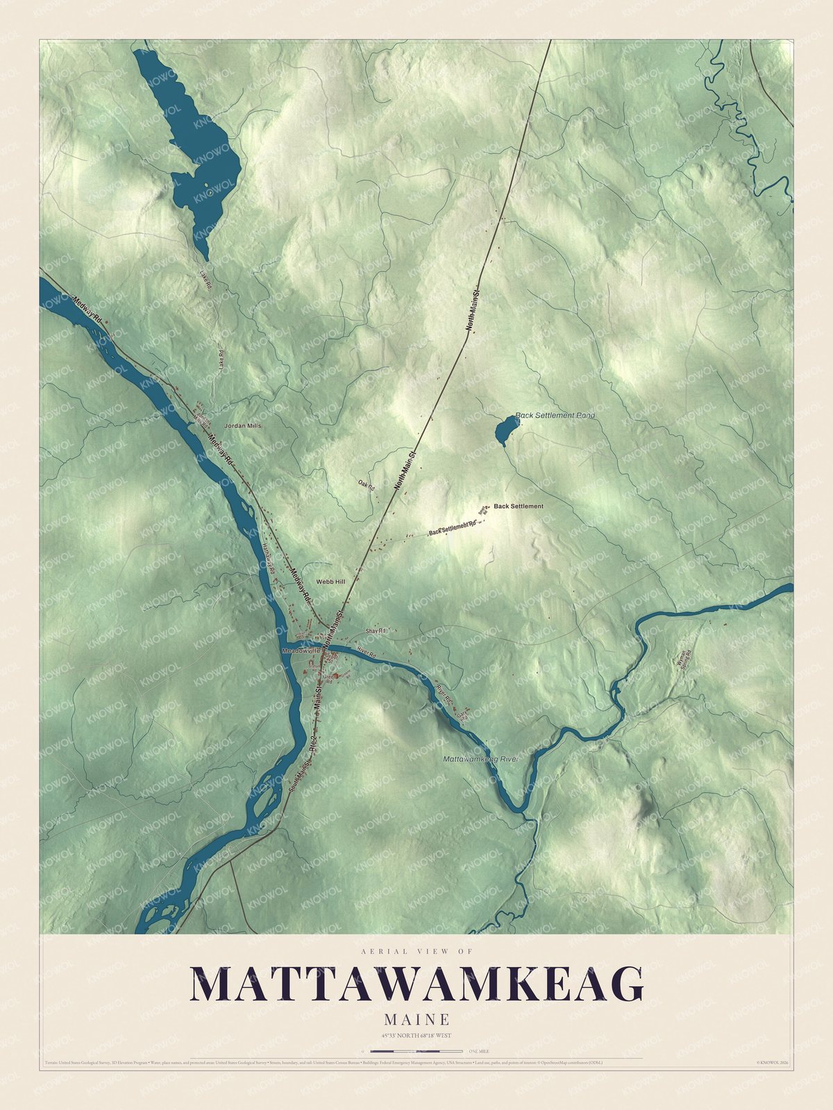
Main Street, Medway Road and the Mattawamkeag River are where a lot of people here get their bearings, and you’ll find all three on this map with Back Settlement Pond. Click here to purchase a print of this map for your wall.
Mattawamkeag is a town in Penobscot County.
KNOWOL made this map in 2026 from public survey records, United States Geological Survey elevation data and Census Bureau files. Its atlas layout brings together Mattawamkeag’s roads, buildings, ponds and waterways, and terrain, the town boundary and the pattern of buildings.
Where the Mattawamkeag meets the Penobscot
Mattawamkeag grew up where the Mattawamkeag River joins the Penobscot, and its village lies in the southwestern part of town. The Mattawamkeag River starts in Haynesville and runs south and west to its mouth here. Mattawamkeag was incorporated in 1860.
The town’s history follows the railroad. The European & North American Railway reached Mattawamkeag from Bangor in 1869, and by October 1871 the line ran on to Vanceboro and through to Saint John, New Brunswick. In 1889 the International Railway of Maine arrived from Megantic, Quebec, and Canadian Pacific’s running rights east to Vanceboro put Mattawamkeag on that company’s transcontinental line from Saint John to Vancouver.
A homestead on Main Street
George W. Smith built his Italianate house on Main Street in 1874. His father, Asa Smith, was one of the town’s early settlers, ran a store and served in the state legislature, and George carried on the store and served for many years as postmaster. The George W. Smith Homestead is listed on the National Register of Historic Places.
Basketball coach Steve Clifford grew up in Mattawamkeag until the third grade, when he moved to Vermont. He went on to become head coach of the Charlotte Hornets and the Orlando Magic.
Click to explore a larger preview. The digital watermark does not appear on printed maps.
See it on a wall
The Mattawamkeag map as a framed print. Swipe for more.


Explore the Mattawamkeag map
Start with Jordan Mills. North Main Street, Main Street, Medway Road, Lake Road, River Road and Hathaway Road are printed across town, and Meadowville, Webb Hill and Back Settlement are names to look for farther out.
Back Settlement Pond and the Mattawamkeag River are labeled too. Follow the river down to the village and compare the buildings along Main Street with the woods and fields around them.
For people who call Mattawamkeag home, this map shows the town as it looks today. Put it in your office, library, or den, or use it to teach children the geography and history of the area. Zoom in on the preview above to explore the details, then click here to get your copy of the Mattawamkeag, Maine map.

Sources