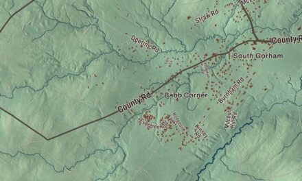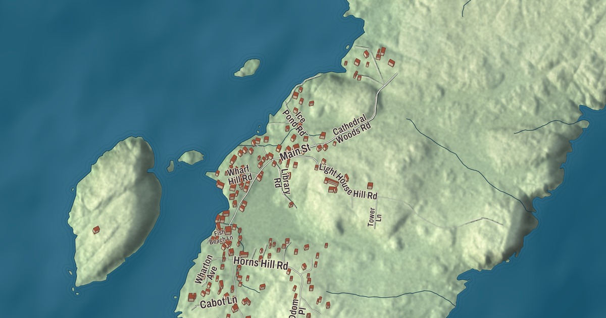
Main Street, Horns Hill Road and Light House Hill Road carry you across Monhegan, an island just 1.75 miles long in the Gulf of Maine, and this map lays them all out. Click here to purchase a print of this map for your wall.
Monhegan is a plantation in Lincoln County.
KNOWOL made this map in 2026 from public survey records, United States Geological Survey elevation data and Census Bureau files. Its atlas layout brings together Monhegan’s streets, buildings, coastline and terrain, the plantation boundary and the pattern of buildings.
The out-to-sea island
Monhegan’s name comes from Monchiggon, an Abenaki term for “out-to-sea island,” and the island lies about 12 nautical miles off the Maine coast. European explorers found it early: Martin Pring visited in 1603, Samuel de Champlain in 1604, George Weymouth in 1605 and John Smith in 1614. It got its start as a British fishing camp, where cod from the Gulf of Maine was dried on fish flakes before it was shipped to Europe. Monhegan traders taught English to Samoset, the Abenaki sagamore who walked into the Pilgrims’ village at Plymouth in 1621 and greeted them in English.
Monhegan was incorporated as an island plantation on September 4, 1839. Fishing has always been its most important industry, and from October through June island fishermen harvest lobsters in the only lobster conservation area in Maine. Visitors arrive by ferry from Boothbay Harbor, New Harbor or Port Clyde, and their cars aren’t allowed on the island.
A light on the hill and a colony of artists
Congress authorized a light station here in 1822, and it went into operation in 1824. The present granite tower dates to 1850 and was Alexander Parris’s last significant design. It stands on a hill near the center of the island, and the old keeper’s house now holds the Monhegan Museum of Art & History.
Artists began coming in the mid-1800s, and by 1890 the colony was firmly established. Robert Henri, George Bellows, Edward Hopper and Rockwell Kent all found inspiration here, and Jamie Wyeth came later. Kent built his cottage in 1906 and his studio in 1910 on a rise overlooking the village, and in that studio he made Toilers of the Sea and Down to the Sea. Both buildings are on the National Register of Historic Places. So is The Influence, a big house on Main Street built in 1826 by the son of the man who bought the whole island in 1777. The son carried so much weight in island affairs that the house took its name from it.
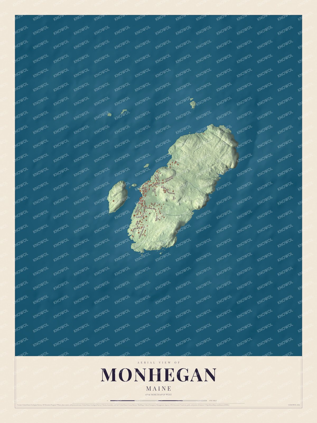
Click to explore a larger preview. The digital watermark does not appear on printed maps.
See it on a wall
The Monhegan map as a framed print. Swipe for more.


Explore the Monhegan map
Start with Main Street, then follow Horns Hill Road, Ocean Avenue, Cabot Lane, Cathedral Woods Road and Light House Hill Road across the plantation. All six of those names are printed on the artwork.
The village holds the church, homes, inns, art studios and a few small stores, and much of the rest of the island is uninhabited. About 17 miles of hiking trails lead out to high cliffs over the sea, and inland paths run through the Cathedral Woods. Compare the cluster of buildings near the harbor with the open ground beyond them.
For people who call Monhegan home, this map shows the plantation as it looks today. Put it in your office, library, or den, or use it to teach children the geography and history of the area. Zoom in on the preview above to explore the details, then click here to get your copy of the Monhegan, Maine map.

Sources