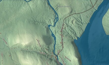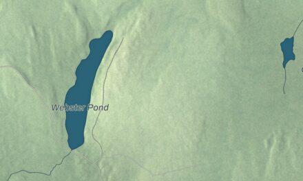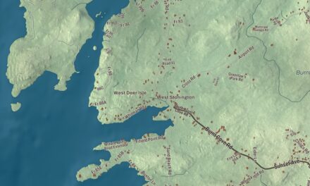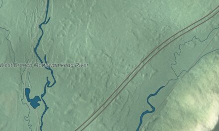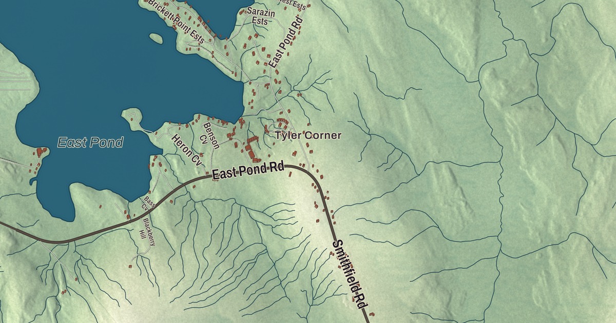
Church Street runs through the village center on this map of Oakland, the Kennebec County town on Messalonskee Stream. Click here to purchase a print of this map for your wall.
Oakland is a town in Kennebec County.
KNOWOL made this map in 2026 from public survey records, United States Geological Survey elevation data and Census Bureau files. Its atlas layout brings together Oakland’s roads, buildings, ponds and waterways, and terrain, the town boundary and the pattern of buildings.
Taconnet to West Waterville
Settlers of English descent from Massachusetts and New Hampshire came about 1780, when the area was known as Taconnet, after the Abenaki sachem Taconnet. Farmers found the soil good for crops, grazing and dairying, and Messalonskee Stream gave water power to manufacturers. The land was part of Winslow and then, from 1802, of Waterville.
In the 1870s manufacturers in the western part of Waterville, unhappy with taxation, asked the legislature to make their industrial district a separate town. In 1872 the place became the southern end of the Somerset Railroad, which ran first to North Anson, then to Bingham and finally to Moosehead Lake. On February 26, 1873, it was incorporated as West Waterville, and by an act of March 10, 1883, it was renamed Oakland. An 1886 gazetteer listed its edge-tool factories, machine shops, foundries for water wheels, chair and carriage makers, canned goods, and the Cascade Woollen Company’s dress goods. Messalonskee Stream powered the factories behind Oakland’s long-gone title as the “axehead capital of the world.”
Church Street
Memorial Hall, at Church and West School streets, was built as a memorial to the community’s Civil War dead. The Soldiers Memorial Association began it in 1870, but the repeated need to raise money stretched the work to 1873, in a town of just 1,500 people. Designed by Thomas Silloway in stone with brick trim and a stained glass rose window, it’s a remarkably sophisticated example of Italian Gothic architecture for a rural community, and the town owns it today.
Oakland’s library was founded in 1891 in Memorial Hall. When it outgrew that space, a local businessman asked Andrew Carnegie for a grant. Carnegie said no at first, then agreed in 1912, and the brick Classical Revival library designed by Harry S. Coombs opened at 18 Church Street in 1915, on land given by Alice Benjamin. Built for 4,000 volumes, it held more than 16,000 by the 1990s, and it was doubled in size in 2003.
Snow Pond
Messalonskee Lake, more commonly called Snow Pond after Philip Snow, who settled in the area in 1774, is nine miles long and bordered by Oakland, Sidney and Belgrade. A dam built in Oakland in 1905 made it larger. The New England Music Camp has been on its shore since 1937. On Belgrade Road, overlooking the lake’s northern tip, stands the Pressey House, an octagon built between 1854 and 1858 by H. T. Pressey. It’s one of a small number of octagon houses in Maine and one of the only ones with Greek Revival styling.
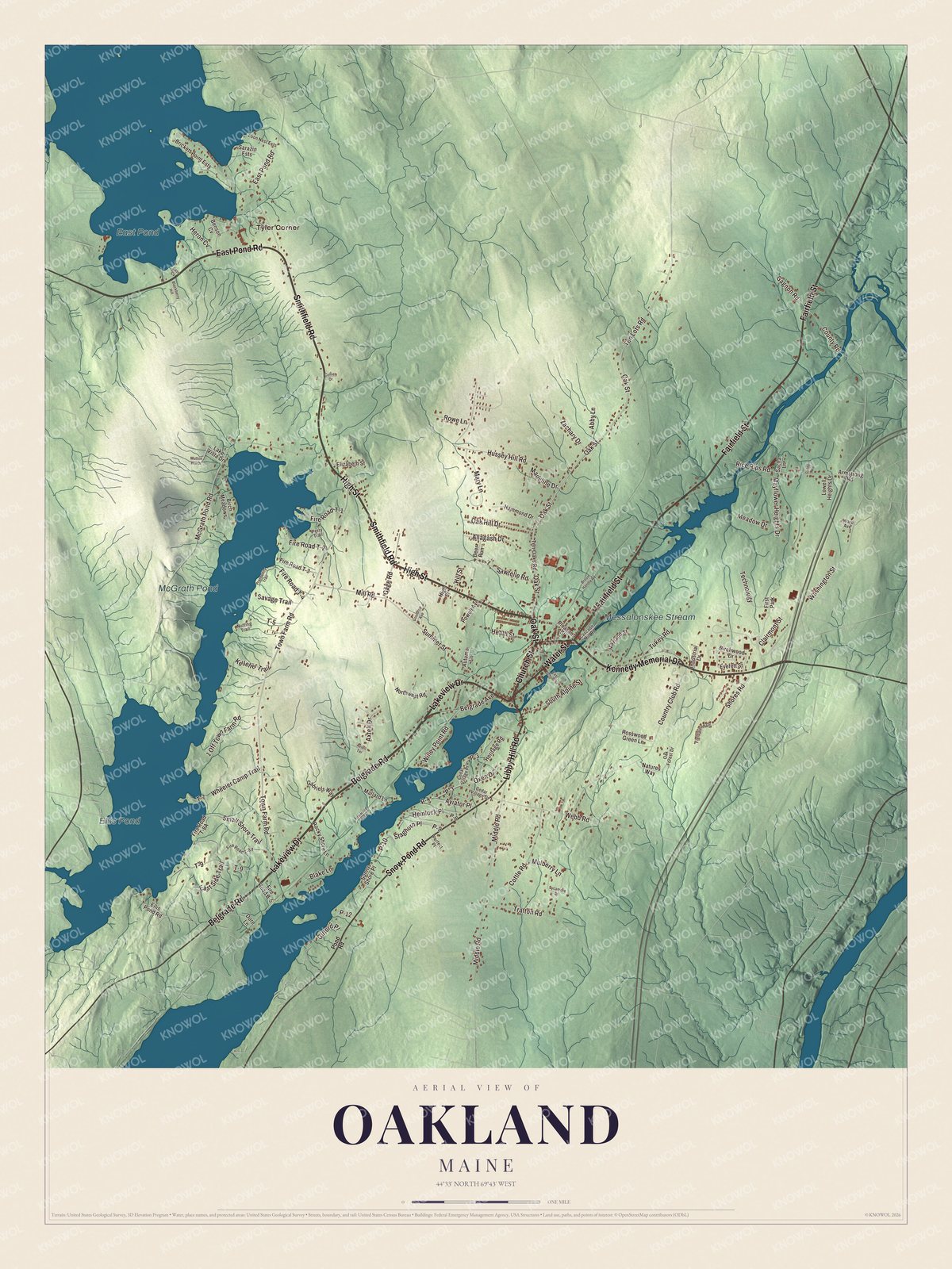
Click to explore a larger preview. The digital watermark does not appear on printed maps.
See it on a wall
The Oakland map as a framed print. Swipe for more.


Explore the Oakland map
Start with Tyler Corner, then follow Belgrade Road, Kennedy Memorial Drive, Church Street, Oak Street, High Street and Fairfield Street across town. Those names are printed on the artwork, and Ellis Pond, McGrath Pond, Messalonskee Stream and East Pond are labeled too.
Belgrade Road is State Route 11. Follow Messalonskee Stream through the village, then trace the shores of the ponds, home to a number of summer camps.
For people who call Oakland home, this map shows the town as it looks today. Put it in your office, library, or den, or use it to teach children the geography and history of the area. Zoom in on the preview above to explore the details, then click here to get your copy of the Oakland, Maine map.

Sources