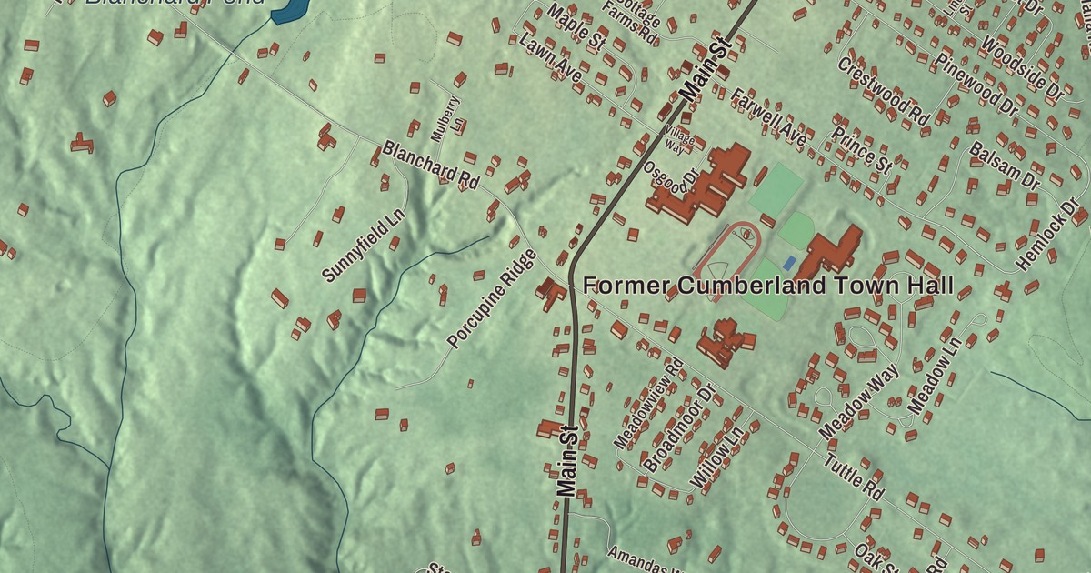
Main Street, Greely Road and the Former Cumberland Town Hall are the names to find first on this map of Cumberland Center, Maine. Crystal Lane, Hemlock Drive, Meadow Lane, Lawn Avenue and Blanchard Pond fill in the neighborhood. Click here to purchase a print of this map for your wall.
Cumberland Center is a named community in the town of Cumberland, Cumberland County, with 2,739 people at the 2020 census.
KNOWOL made this map in 2026 from public survey data and gave it the look of an old atlas. The community is mapped with its own boundary, the census-designated place the Census Bureau draws around the center of town, and the finished artwork gives Cumberland Center its own place title. That boundary takes in 4.2 square miles, all of it land. United States Geological Survey elevation data shades the ground, which sits at a listed elevation of 184 feet.
The Greely school
Cumberland Center is a census-designated place within the town of Cumberland and one of the town’s three villages, and the town’s own page notes that Cumberland itself is also known as Cumberland Center. The census counted 2,596 people here in 2000 and 2,739 in 2020, and the community is part of the Portland, South Portland and Biddeford metropolitan area.
Greely began in 1868, paid for by money left in the will of Eliphalet and Elizabeth Greely. It started as a private school, the Greely Institute, and stayed private until a 1953 town meeting voted to make it a free school. Today it’s Greely High School, the public high school for grades 9 to 12 in Maine School Administrative District 51, which serves Cumberland and North Yarmouth. The building that opened in 1868 has been renovated and added onto many times, with a 10-million-dollar addition in 2009, the year the school took up the International Baccalaureate program, and a new auditorium in 2018. Greely Road shares the family’s name.
Two places on the National Register
The National Register of Historic Places lists two buildings under Cumberland Center, both on Winn Road. The Captain Reuel and Lucy Merrill House, at 66 Winn Road, was built in 1835 for Reuel Merrill, a ship’s captain who served in the Union Navy during the Civil War. It’s a connected farmstead, house to ell to barn stretched along the road, and its front doorway is a near copy of one drawn in Asher Benjamin’s The Practical House Carpenter, a design book published in 1830.
The Winn Road School, at the corner of Winn and Range Roads, was built of brick in 1846 and is one of only two known surviving brick Greek Revival one-room schoolhouses in Maine. It still has its sloping floor, which its page calls unusual for a school of that time. It taught children until the early 20th century and then served other town uses. A fire badly damaged the building in December 2022, and a fundraising campaign was started to help pay for repairs.
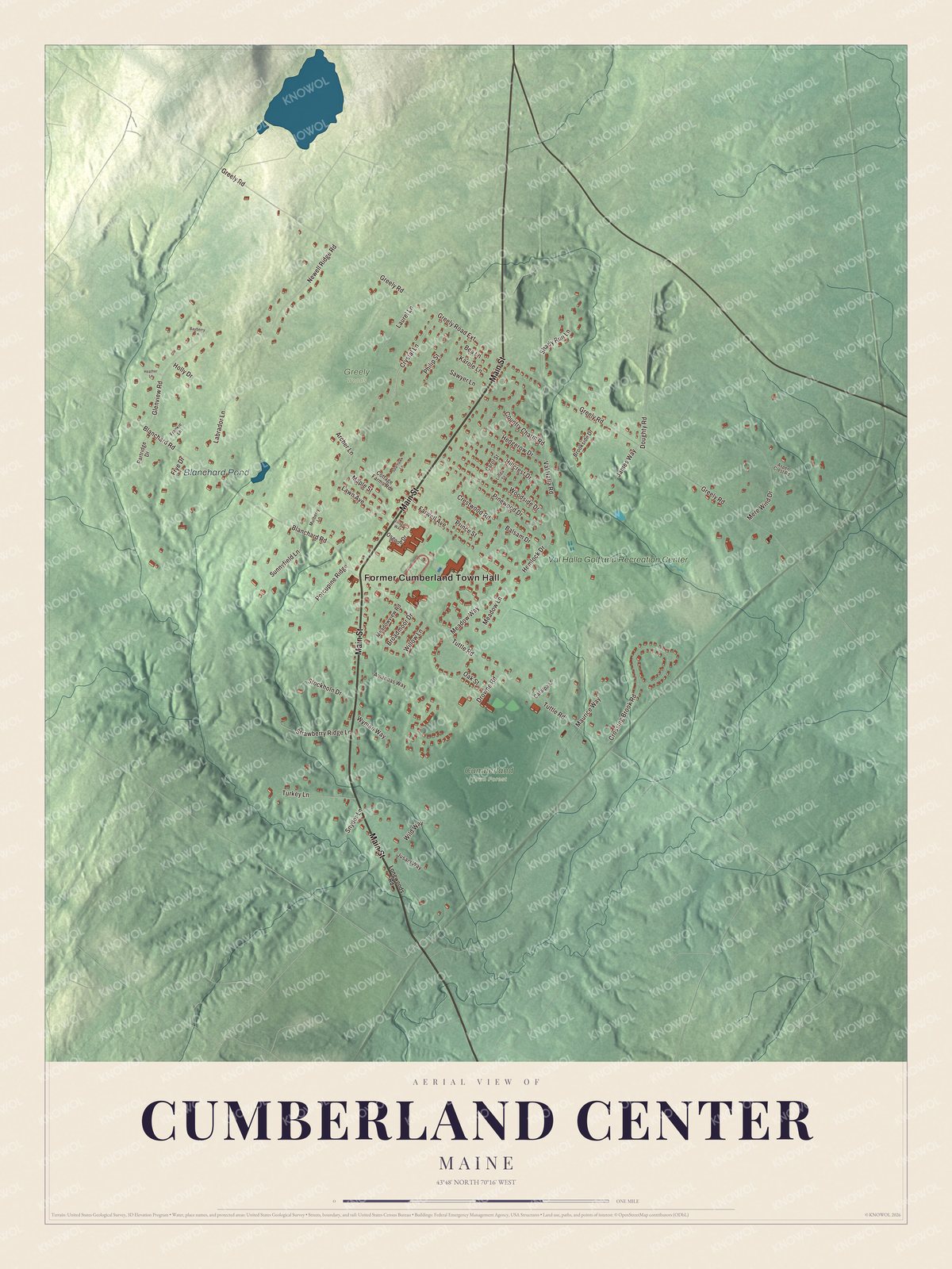
Click to explore a larger preview. The digital watermark does not appear on printed maps.
See it on a wall
The Cumberland Center map as a framed print. Swipe for more.


Around the center
The Former Cumberland Town Hall is printed on the map, and so are Main Street and Greely Road. Crystal Lane, Hemlock Drive, Meadow Lane and Lawn Avenue are printed too. Blanchard Pond is labeled on the map, and the side streets around it are drawn in as well.
This Cumberland Center map makes a fine addition to an office, library or den, and it can help teach children the geography and history of the area. It’s made for everyone who calls Cumberland Center home, from Main Street to Blanchard Pond, as it looks today. Zoom in on the preview above to explore the details, then click here to get your copy of the Cumberland Center, Maine map.

Sources