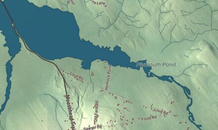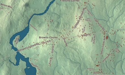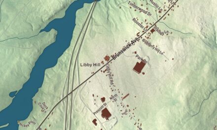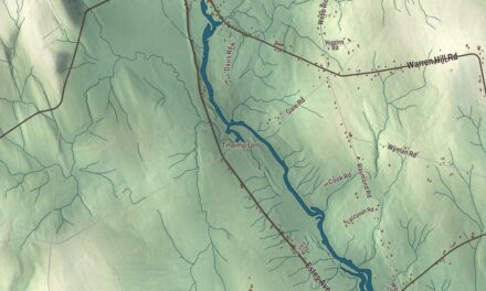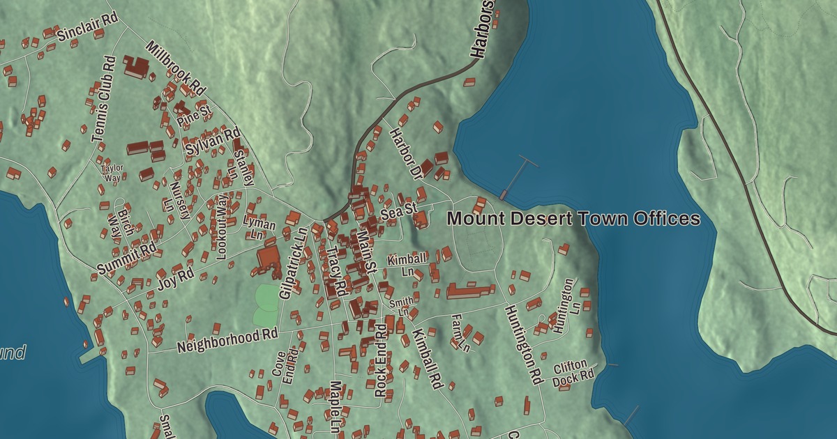
Main Street, South Shore Road and Huntington Road lead through this map of Northeast Harbor, the Mount Desert Island summer village with a lighthouse at its harbor mouth. Click here to purchase a print of this map for your wall.
Northeast Harbor is a named community in Hancock County.
KNOWOL made this map in 2026 from public survey records, United States Geological Survey elevation data and Census Bureau files. Its atlas layout brings together Northeast Harbor’s streets, buildings, waters and terrain. The community is mapped with its own boundary. The finished artwork gives Northeast Harbor its own place title.
A Mount Desert summer village
Northeast Harbor is a village in the town of Mount Desert, on Mount Desert Island. The first settlers, the Somes and Richardson families, arrived around 1761, and John C. Savage, born in Glasgow, moved here in 1792. An 1886 gazetteer called it a post office and small seaport. It has long been a summer village, home in season to more than 200 yachts at the marina and to summer residents that include the Rockefeller family.
Churches built by summer and year-round neighbors
The Union Church on Summit Road grew from meetings that began in 1883 in a one-room schoolhouse. In 1886 its 100 members, 65 summer residents and 35 year-round residents, organized and chose the Boston firm of Peabody and Stearns to design a church. Built largely of glacial till, with granite corners and a squat stone tower, it was dedicated on July 17, 1889, and it’s a notable local example of the Shingle style.
St. Mary’s-By-The-Sea, at 20 South Shore Road, came in 1902. English architect Henry Vaughan designed it, and it’s one of three Maine churches known to be his work and the only one he built in stone. Some of that granite came from a roadbed the community had decided to lower, and the summer congregation paid for it by subscription.
Cottages, gardens and a lighthouse
Daniel Coit Gilman, president of Johns Hopkins University and a leading voice for graduate education in the United States, spent his summers at Over Edge, a shingled house on a high bluff off Huntington Road, from the 1880s until his death in 1908. It was named a National Historic Landmark in 1965. Near the tip of Sargent Head, William A. M. Burden, longtime president of the Museum of Modern Art, built Sea Change in the 1940s to a design by Wallace K. Harrison and sculptor Isamu Noguchi. The estate even has a Cold War bomb shelter from 1961 and 1962, and after a fire the main house was rebuilt from the original plans in 2005.
Thuya Garden grew on the grounds of Thuya Lodge, built between 1912 and 1916 for Boston landscape architect Joseph Henry Curtis, who left the lodge and the Asticou Terraces to the town of Mount Desert. Charles K. Savage planned the border garden in 1933 and built it from 1956 to 1961, using plants from Beatrix Farrand’s Reef Point garden in Bar Harbor, and it opened to the public in 1962.
Bear Island Light marks the entrance to Northeast Harbor. A light was first set there in 1839, and the present brick tower dates to 1889. After the Coast Guard shut it down, the station became part of Acadia National Park in 1987, and the Friends of Acadia relit it as a private aid to navigation in 1989.
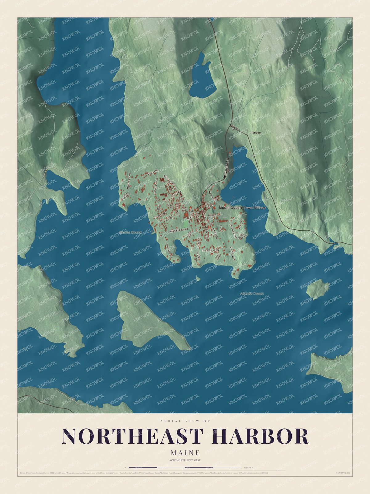
Click to explore a larger preview. The digital watermark does not appear on printed maps.
See it on a wall
The Northeast Harbor map as a framed print. Swipe for more.


Explore the Northeast Harbor map
Start with the Mount Desert Town Offices and Asticou, then follow Harborside Road, Main Street, South Shore Road, Huntington Road, Manchester Road and Rock End Road across the community. Those names are printed on the artwork, and the Atlantic Ocean and Somes Sound are labeled too. Look for the shops of Main Street, then follow the shore roads out past the coves and points.
For people who call Northeast Harbor home, this map shows the community as it looks today. Put it in your office, library, or den, or use it to teach children the geography and history of the area. Zoom in on the preview above to explore the details, then click here to get your copy of the Northeast Harbor, Maine map.

Sources
- Northeast Harbor, Maine, Wikipedia
- Union Church of Northeast Harbor, Wikipedia
- St. Mary's-By-The-Sea (Northeast Harbor, Maine), Wikipedia
- Daniel Coit Gilman Summer House, Wikipedia
- Sea Change (Northeast Harbor, Maine), Wikipedia
- Thuya Garden, Wikipedia
- Bear Island Light, Wikipedia
- A Gazetteer of the State of Maine, George J. Varney, 1886 (Internet Archive)