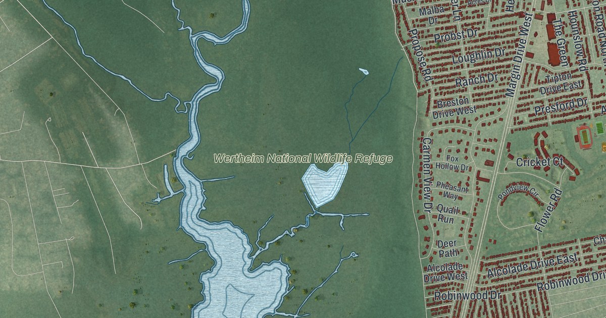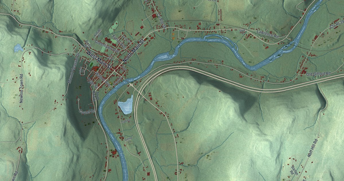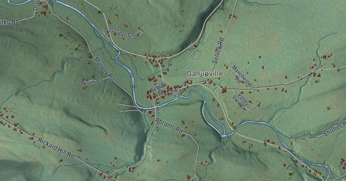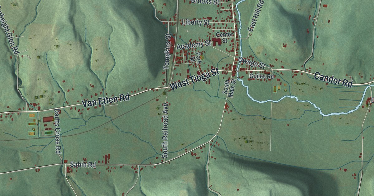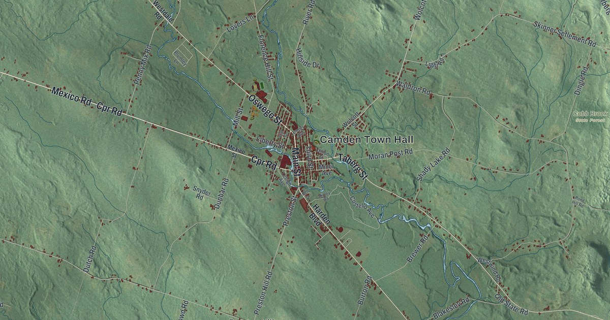
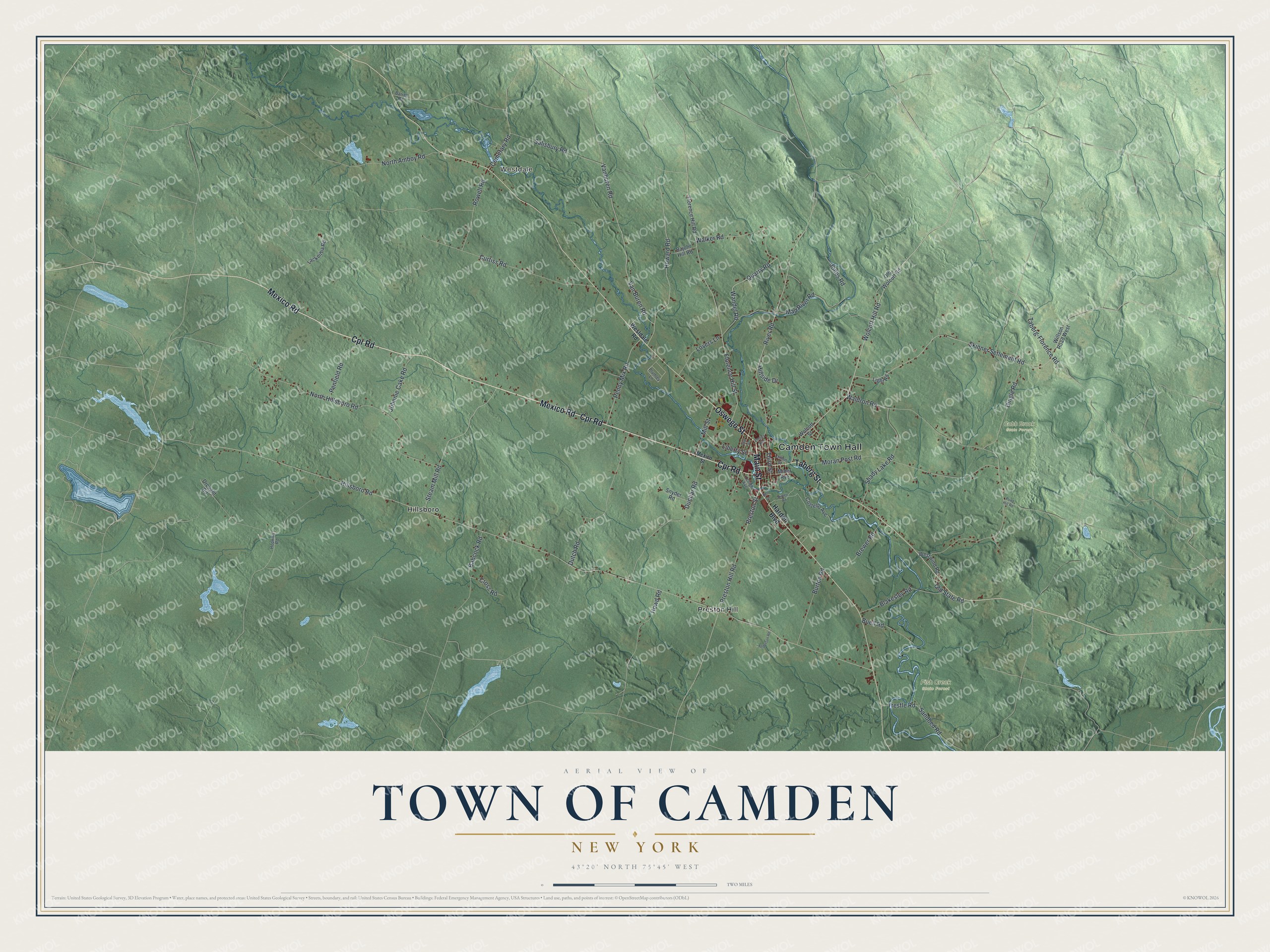
This beautifully detailed map of the Town of Camden, New York was created in 2026 using aerial imagery combined with modern topographical, census, street and landmark data. It’s a one-of-a-kind view of the Town of Camden that combines accurate data with a vintage aesthetic. The map shows every building in its true location, many of the roads carry their names, and the shaded topographic relief shows the shape of the land.
Explore an aerial view of the Town of Camden, New York
On the map you’ll find Camden Town Hall, Westdale, Hillsboro, Preston Hill, Cobb Brook State Forest, and Fish Creek State Forest, along with Main Street, Cpr Road, Oswego Street, Mexico Road, and more. If you look closely you can even find your house accurately drawn in its correct location. Zoom in on the preview to look for yours.
Did You Know?
Samuel Royce, born in Plymouth, Connecticut, came to Camden as early as 1794. He bought 5,000 acres of land from John Murray and built a log house on it. The first town meeting on record in Camden was held at his house. Royce was a surveyor, and he later returned to Clinton. That’s from the 1897 Pioneer History of Camden, Oneida County, New York.
Take a closer look at the Town of Camden map
Names on this map
These names are printed on this map.
Places: Camden Town Hall, Westdale, Cobb Brook State Forest, Fish Creek State Forest, Hillsboro and Preston Hill.
Streets and roads: Main Street, Cpr Road, Oswego Street, Mexico Road, Taberg Street, Wolcott Hill Road, Howard Road, Third Street, Preston Street, Vanburen Road, Hillsboro Road, Waldron Road.
More street names, A to Z
Anderson Road, Babcock Road, Bajohr Hill Road, Barrell Road, Bell Drive, Blakesley Road, Brewer Road, Buell Road, Burton Road, Cemetary Road, Costello Avenue, Cross Road, Curtiss Road, Dingle Road, Drought Road, Dunbar Road, Dutch Road, Elm Street, Empey Avenue, Florence Hill Road, Florence Hill Street, Harden Boulevard, Hillside Drive, Hopkins Road, Howd Road, Johnnie Cake Road, Jones Road, Lackeitha Road, Lehigh Avenue, Liberty Street, Light Road, Lovers Lane, Mad River Road, Mexico Street, Mill Street, Miner Avenue, Moran Post Road, North Amboy Road, North Hillsboro Road, Old State Road, Old Wolcott Road, Penfield Road, Penny Mix Road, Plumley Lane, Pond Hill Road, Preston Hill Road, Quarry Road, Ripley Road, River Road, Rowell Road, Salisbury Road, Sandbed Road, Shady Lake Road, Skinner Setlement Road, Snyder Road, Steam Mill Road, Taberg-Florence Road, Trestle Road, Union Street, Van Buren Road, Walker Road, Wandel Road, Westdale Road, Westwind Road, Willson Road West, Wolcott Street.
See it on a wall
The Camden map as a framed print. Swipe for more.


This beautifully detailed map of the Town of Camden makes an attractive addition to your office, library, or den, and it can even be used to teach children the geography and history of the area. It also makes a great gift for anyone who grew up in the Town of Camden or moved away. When you’re done exploring, click here to get your copy of the Town of Camden map.