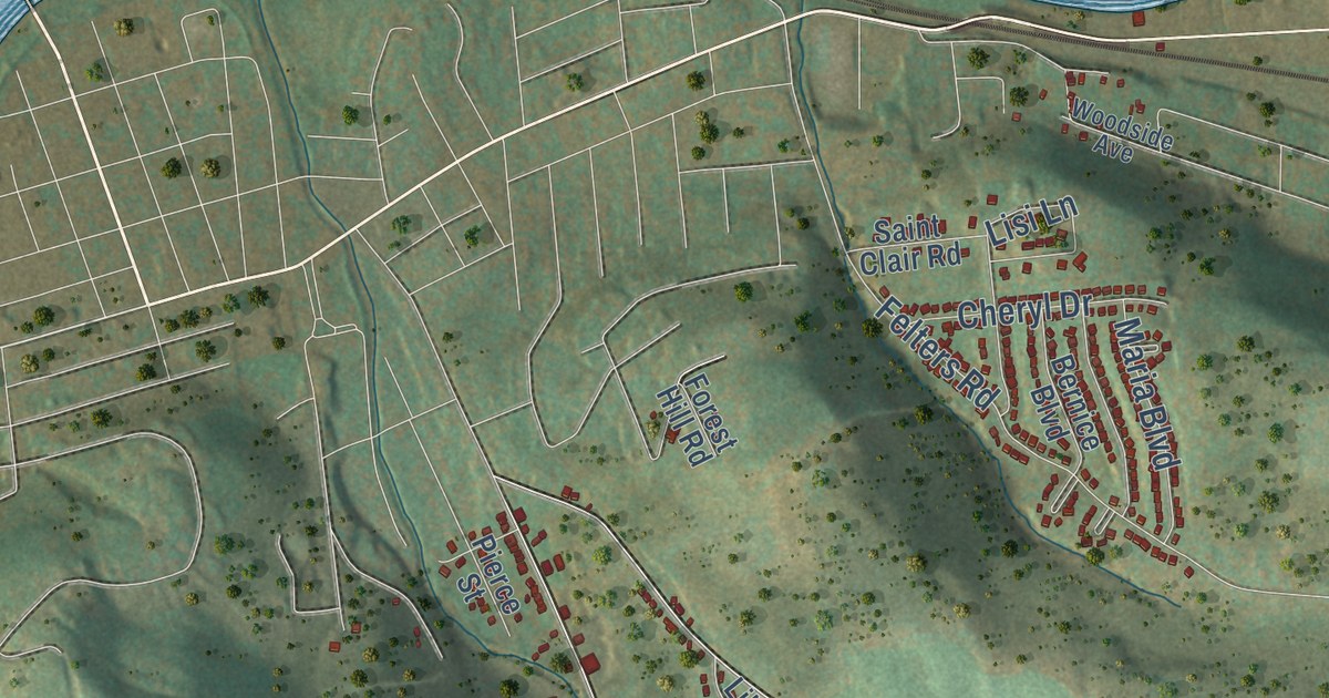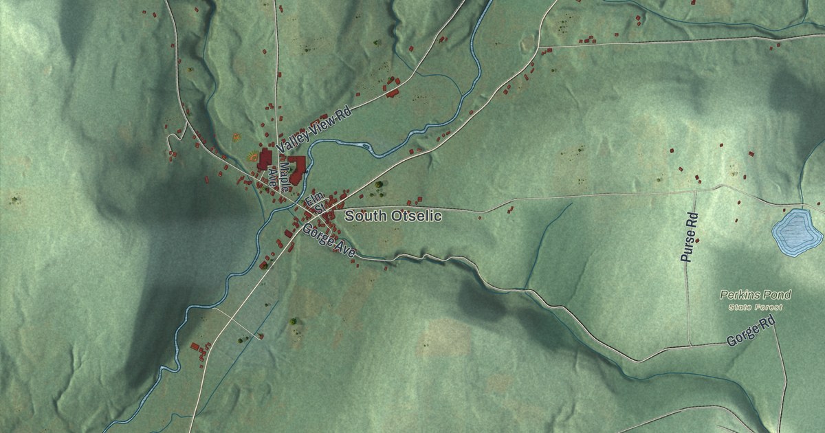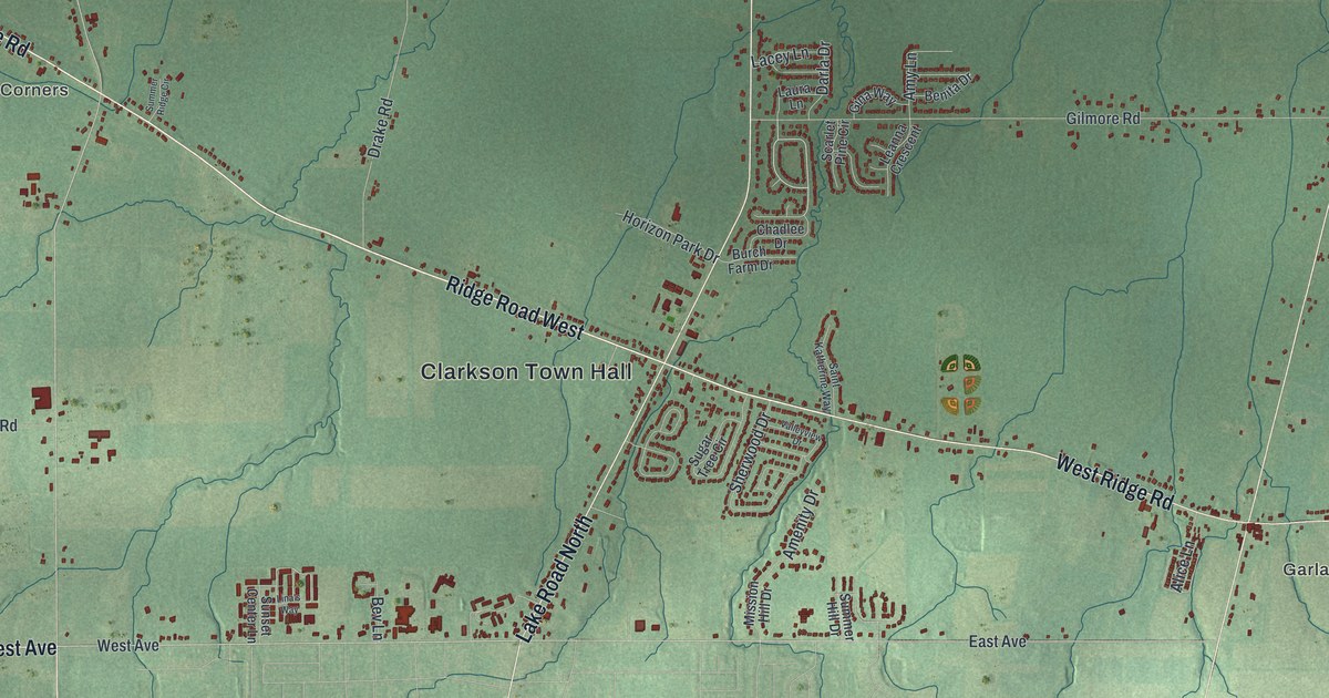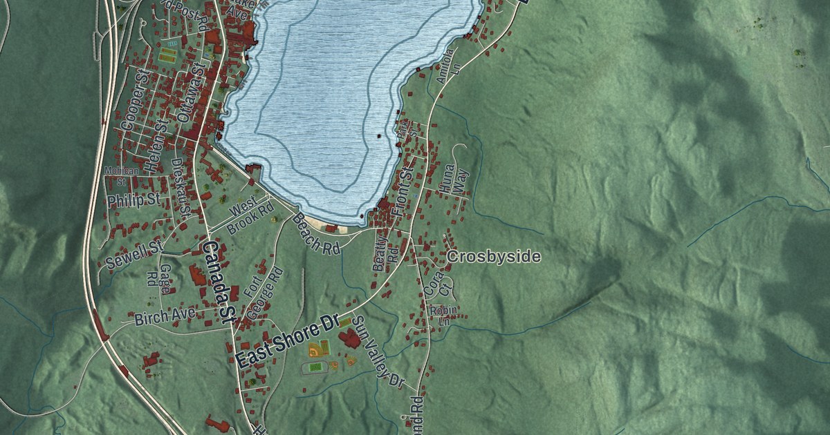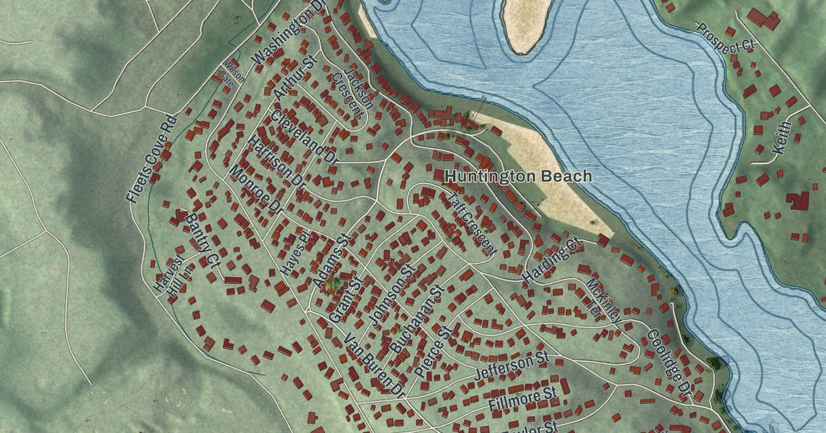
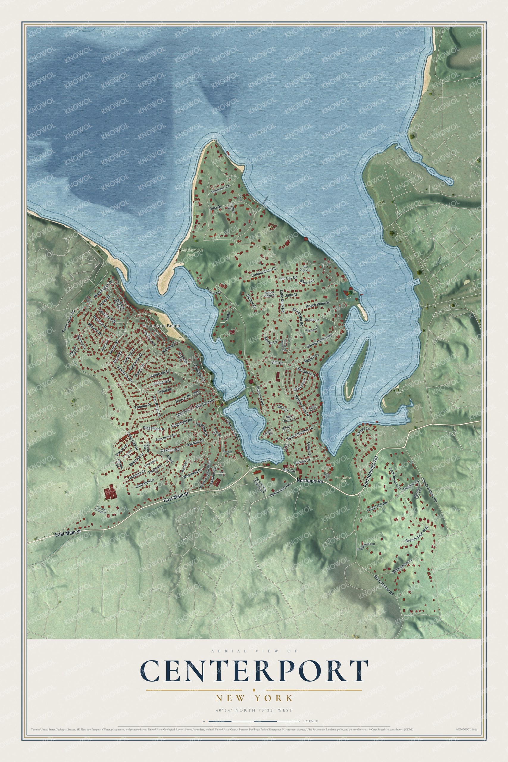
This beautifully detailed map of Centerport, New York was created in 2026 using aerial imagery combined with modern topographical, census, street and landmark data. It’s a one-of-a-kind view of Centerport that combines accurate data with a vintage aesthetic. The map shows every building in its true location, many of the roads carry their names, and the shaded topographic relief shows the shape of the land.
Explore an aerial view of Centerport, New York
On the map you’ll find Huntington Beach and Phragmites Park, along with Fort Salonga Road, Northport Road, Main Street, Centerport Road, Adams Street, and more. If you look closely you can even find your house accurately drawn in its correct location. Zoom in on the preview to look for yours.
Did You Know?
Around 1700 this harbor hamlet was called Little Cow Harbor. By 1836 it had become Centreport, and after 1895 the spelling changed to Centerport. The name marks its spot on the water, halfway between the eastern and western edges of the Town of Huntington.
Take a closer look at the Centerport map
Names on this map
These names are printed on this map.
Places: Huntington Beach, Centerport Park and Phragmites Park.
Streets and roads: Fort Salonga Road, Northport Road, East Main Street, Centerport Road, Adams Street, Mohawk Street, Little Neck Road, Washington Drive, Fleets Cove Road, Prospect Road, Sandy Hollow Road, Stony Hollow Road.
More street names, A to Z
Arthur Street, Bankside Drive North, Bantry Court, Beach Plum Drive, Benham Court, Bitner Lane, Bittersweet Court, Buchanan Street, Bull Calf Lane, Centershore Road, Centershore Road South, Cleveland Drive, Cobblestone Court, Coolidge Drive, Court Yard Circle, Crooked Cottage Court, Daphne Lane, Eagle Rock Hl, Fillmore Street, Gina Drive, Grant Street, Greenhaven Way, Halsey Lane, Harbor Circle, Harbor Court, Harbor Heights Drive, Harbor Park Court, Harbor Park Drive, Harbor Ridge Drive, Harding Court, Harned Drive, Harrison Drive, Harvest Hill Lane, Haven Court, Hayes Place, Highland Drive, Hollise Court, Hoover Place, Idle Day Drive, Idle Day Knl, Iriquois Avenue, Jackson Crescent, Jefferson Street, Joan Court, Johnson Street, Judy Court, Keith, Lakeside Drive, Laurel Hill Road, Little Bull Court, Lone Oak Court, Lone Oak Drive, Mallard Cv, Marcia Court, Mariners Court, Marys Lane, Mayflower Court, McKinley Terrace, Mill Dam Court, Mill Dam Road, Mill Pond Lane, Monroe Drive, Morahapa Lane, Morahapa Road, North Drive, Oakdale Drive, Oakdale Road, Oldsandy Hollow Road, Oneonta Court, Ottawa Avenue, Park Circle, Paul Revere Lane, Pebble Beach Road, Pierce Street, Prospect Court, Quay Court, Ridgefield Drive, Ridgefield Road, Sea Spray Drive, Seminole Street, Shawnee Street, Sherry Court, Sills Court, Spring Hollow Road, Taft Crescent, Taylor Street, Truman Place, Tuscarora Drive, Upper Lane, Upper Pond, Van Buren Drive, Van Buren Street, Wainer Court, Waterview, Westfield Drive, West Spring Hollow Road, Wilson Gate.
See it on a wall
The Centerport map as a framed print. Swipe for more.


This beautifully detailed map of Centerport makes an attractive addition to your office, library, or den, and it can even be used to teach children the geography and history of the area. It also makes a great gift for anyone who grew up in Centerport or moved away. When you’re done exploring, click here to get your copy of the Centerport map.