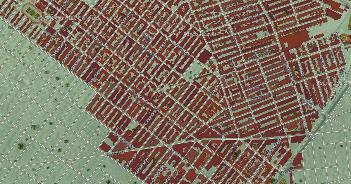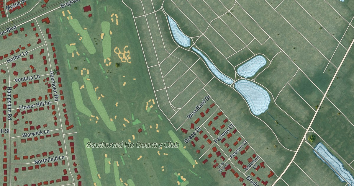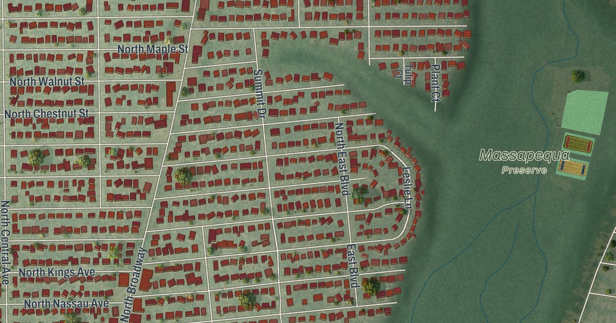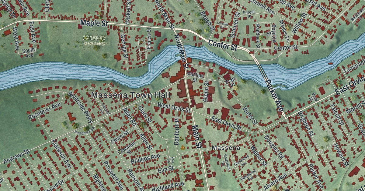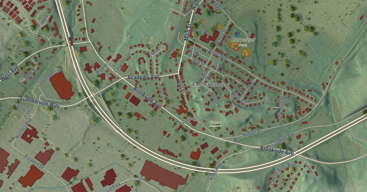
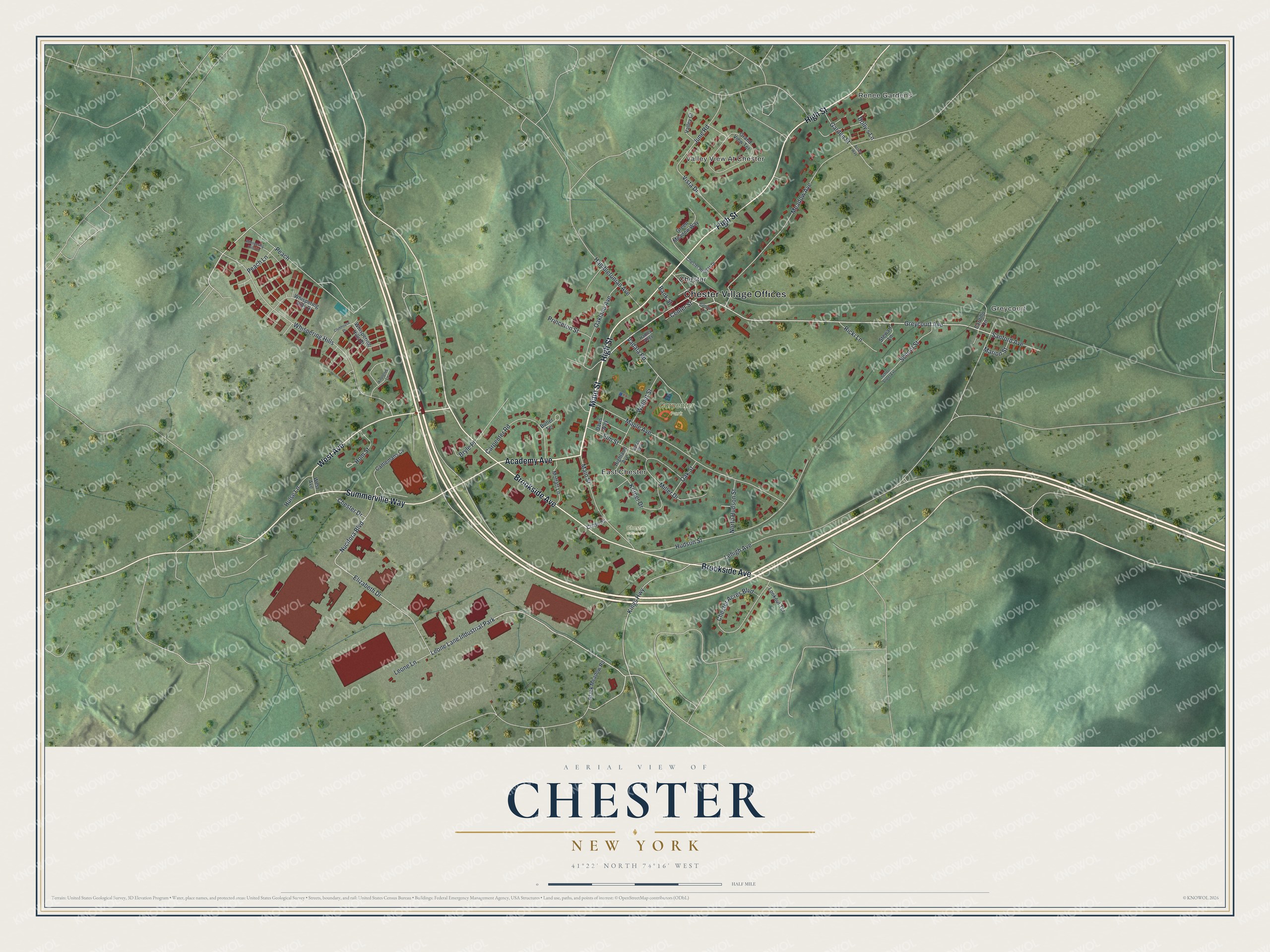
This beautifully detailed map of Chester, New York was created in 2026 using aerial imagery combined with modern topographical, census, street and landmark data. It’s a one-of-a-kind view of Chester that combines accurate data with a vintage aesthetic. The map shows every building in its true location, many of the roads carry their names, and the shaded topographic relief shows the shape of the land.
Explore an aerial view of Chester, New York
On the map you’ll find Chester Village Offices, Renee Gardens, Greycourt, Valley View At Chester, East Chester, and Carpenter Park, along with Main Street, Brookside Avenue, High Street, West Avenue, and more. If you look closely you can even find your house accurately drawn in its correct location. Zoom in on the preview to look for yours.
Did You Know?
Chester became a village in 1892. Its first mayor was William A. Lawrence, the man who invented modern cream cheese. The village sat at the center of a dairy industry. Chester claims Philadelphia Cream Cheese was first made here. The village was named after the English city of Chester.
Take a closer look at the Chester map
Names on this map
These names are printed on this map.
Places: Chester Village Offices, Renee Gardens, Greycourt, Valley View At Chester, East Chester, Carpenter Park, Chester Cemetery, Chester and Leone Lane Industrial Park.
Streets and roads: Main Street, Brookside Avenue, High Street, West Avenue, Summerville Way, Academy Avenue, Greycourt Avenue, Peach, Elizabeth Drive, Whispering Hills, Meadow Avenue, Leone Lane.
More street names, A to Z
Acres Way, Bank Street, Battiato Lane, Black Meadow Road, Bryle Place, Butler Terrace, Cardillo Lane, Carpenter Road, Cattlemans Cv, Center Street, Chester Acres Boulevard, Chester Drive, Chester Heights Drive, Clubhouse Place, Cross Street, Davis Way, Dolly's Lane, Elm Street, Garden Street, Grand View Terrace, Green Meadow Way, Hadley Alley, Hambletonian Avenue, Highland Avenue, Hom Street, Hudson Street, Hulse Lane, June Road, Kerner Drive, Kings Highway, Knollcrest Lane, Lehigh Avenue, Lookout Terrace, Maple Avenue, Marion Street, Miller Drive, Moffatt Lane, North Hudson Street, Nucifora Boulevard, Oakland Avenue, Oak Street, Peach Lane, Petes Way, Princeton Street, Ricki Lane, Sanford Avenue, School Street, School Street Extension, Stewart Lane, Vadala Road, Valley Court, Vista Drive, Walnut Street, Whispering Hills Drive, Whispering Hills Lane, Whispering Hills Place.
See it on a wall
The Chester map as a framed print. Swipe for more.


This beautifully detailed map of Chester makes an attractive addition to your office, library, or den, and it can even be used to teach children the geography and history of the area. It also makes a great gift for someone who left Chester and still calls it home. When you’re done exploring, click here to get your copy of the Chester map.