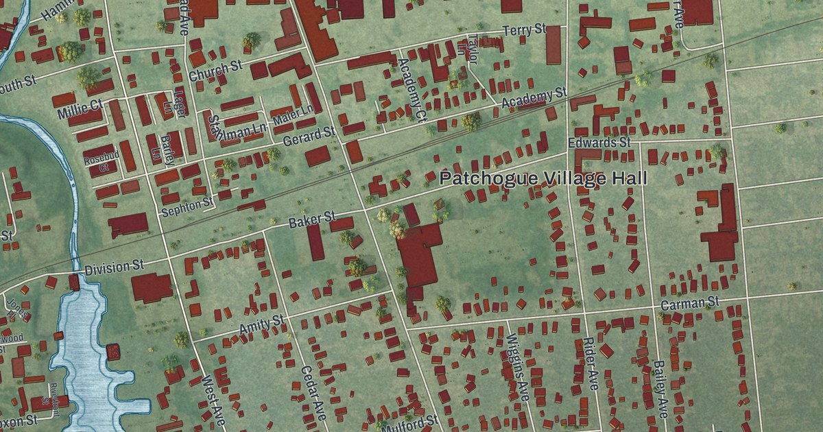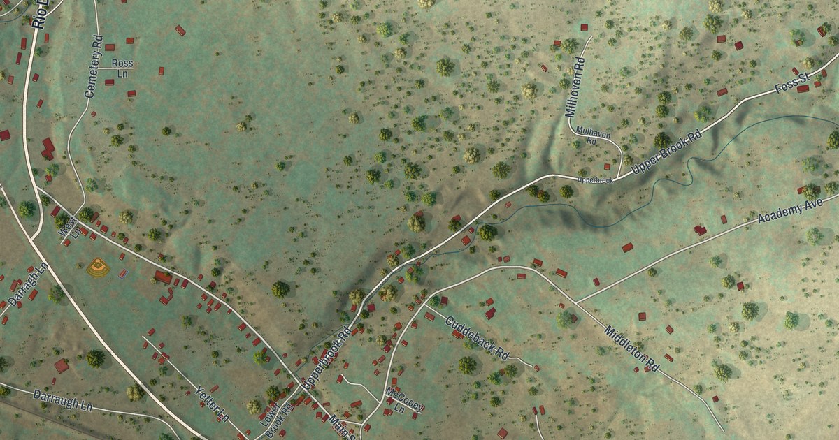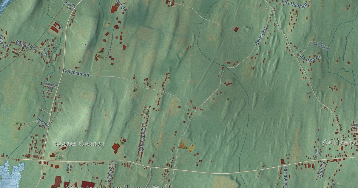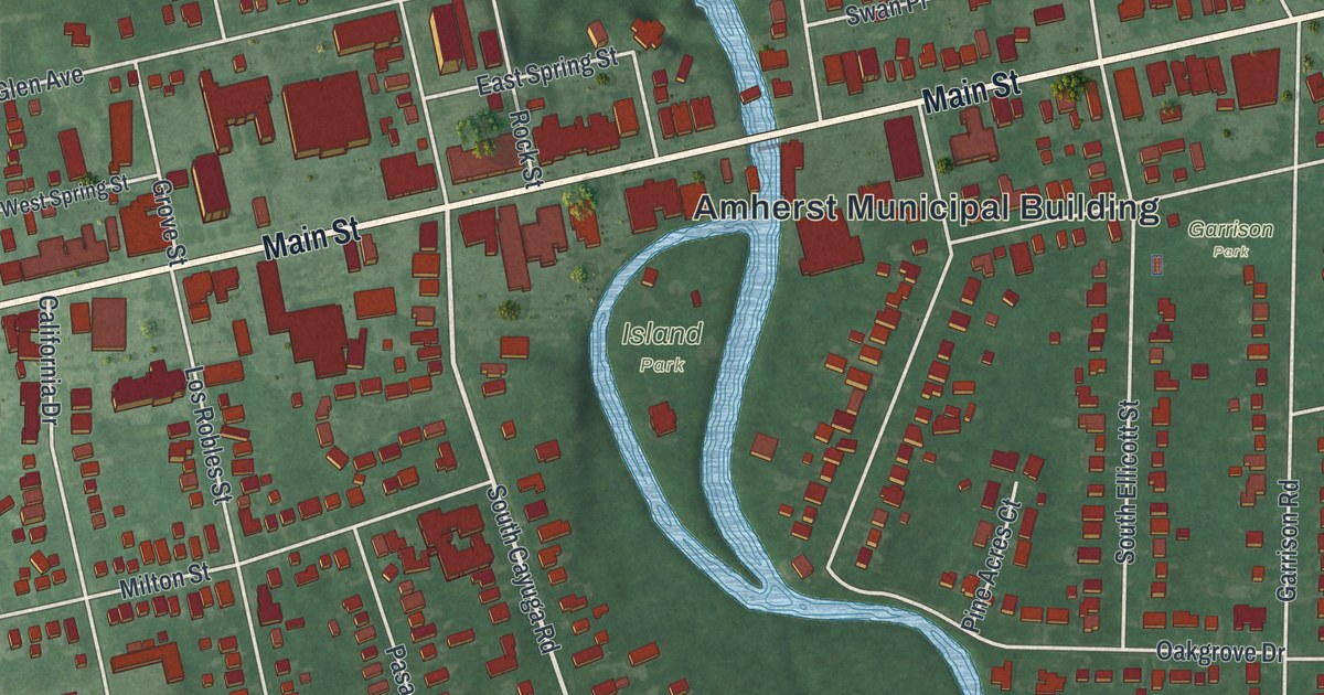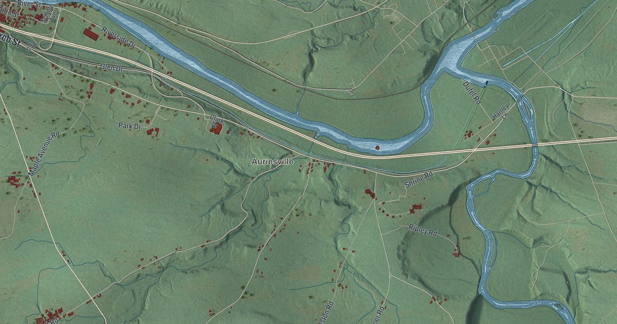
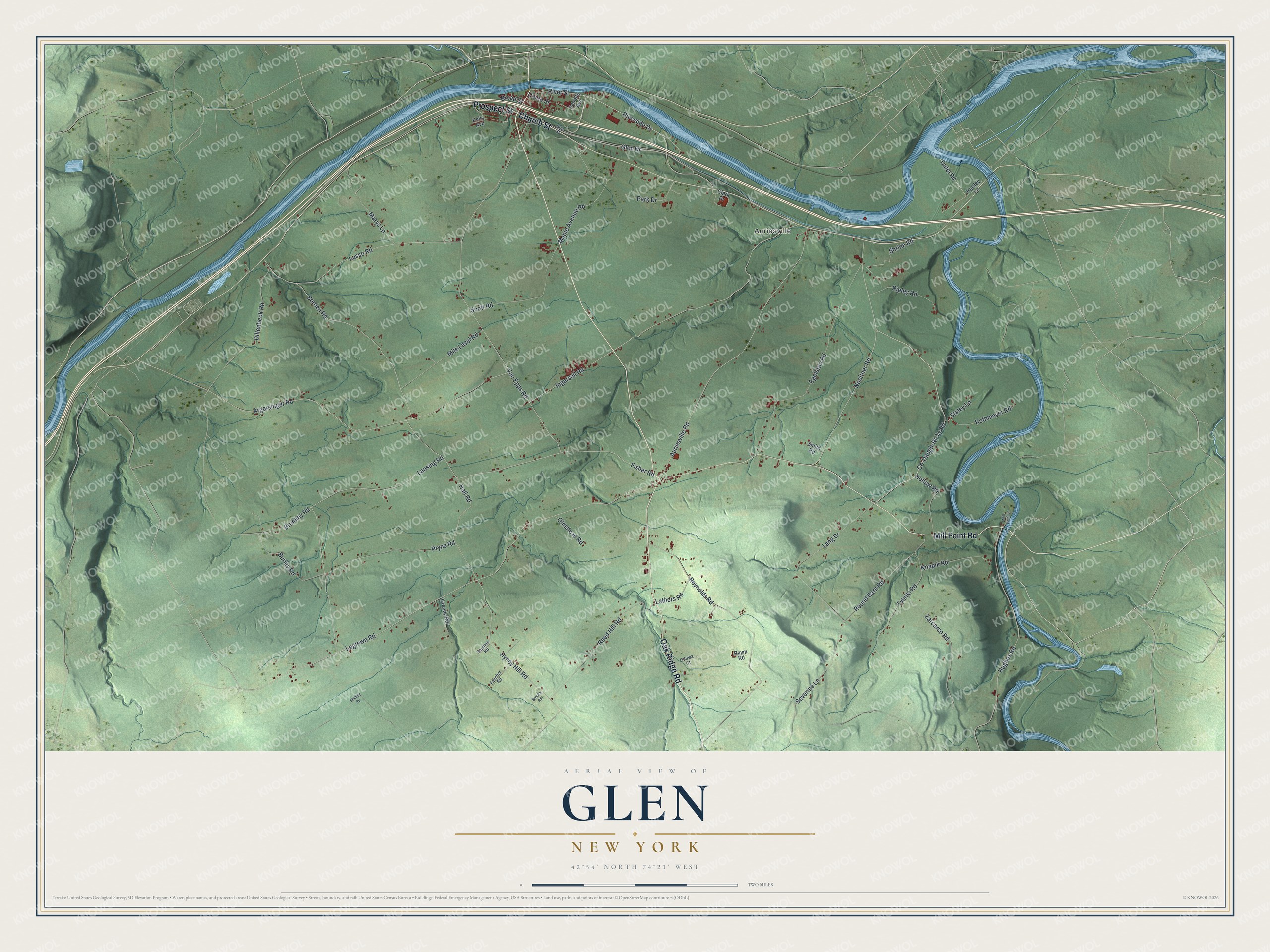
This beautifully detailed map of Glen, New York was created in 2026 using aerial imagery combined with modern topographical, census, street and landmark data. It’s a one-of-a-kind view of Glen that combines accurate data with a vintage aesthetic. The map shows every building in its true location, many of the roads carry their names, and the shaded topographic relief shows the shape of the land.
Explore an aerial view of Glen, New York
On the map you’ll find Auriesville, along with Mill Point Road, Oak Ridge Road, Prospect Street, Church Street, Co-Daugh-Ri-Ty Road, and more. If you look closely you can even find your house accurately drawn in its correct location. Zoom in on the preview to look for yours.
Did You Know?
Glen takes its name from Jacob Glen, who owned land here early on. European colonists first settled the area about 1725. The town was split from Charleston in 1823. In 1848 its largest cluster of homes, along the Mohawk River, became the village of Fultonville.
Take a closer look at the Glen map
Names on this map
These names are printed on this map.
Places: Auriesville.
Streets and roads: Mill Point Road, Oak Ridge Road, Prospect Street, Church Street, Co-Daugh-Ri-Ty Road, Round Barn Road, Lathers Road, Noeltner Road, Dufel Road, Park Drive, Logtown Road, Van Epps Road.
More street names, A to Z
Argersinger Road, Auriesville Road, Baumes Road, Borden Road, Broad Street, Brooks Road, Brumley Road, Burley Road, Clark Drive, Dillenbeck Road, Egelston Road, Erie Street, Fancher Road, Fisher Road, Glen Drive, Grandy Road, Hall Road, Hartley Lane, Hollow Road, Hughes Road, Hyney Hill Road, Ingersoll Road, Kelly Avenue, Knapik Road, Lang Drive, Lansing Road, Lusso Road, Maple Avenue Road, Marys Lane, Mile Level Road, Mill Point Lane, Oduwa Court, Olmstead Road, Pryne Road, Raym Road, Reed Hill Road, Reynolds Road, Ripley Road, Riverside Drive, River Street, Rothmeyer Road, Scholte Avenue, Scott Road, Severine Lane, Shibley Road, Shrine Road, Smith Road, Staley Lane, Tylutki Road, Union Street, Zarcarco Road.
See it on a wall
The Glen map as a framed print. Swipe for more.


This beautifully detailed map of Glen makes an attractive addition to your office, library, or den, and it can even be used to teach children the geography and history of the area. It also makes a great gift for anyone with Glen roots. When you’re done exploring, click here to get your copy of the Glen map.