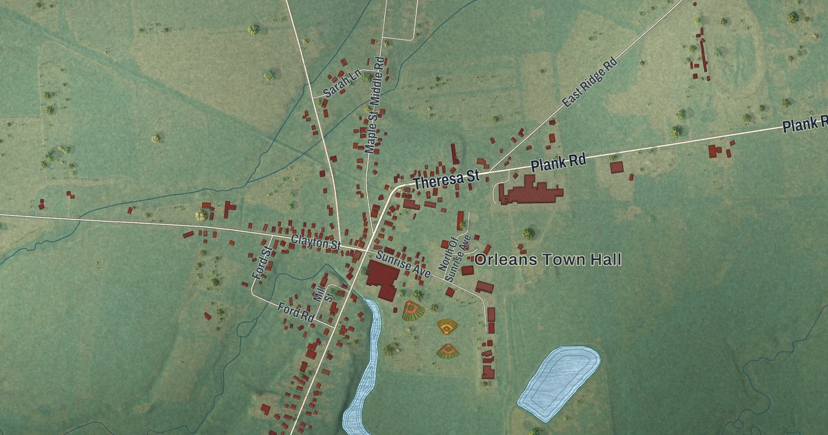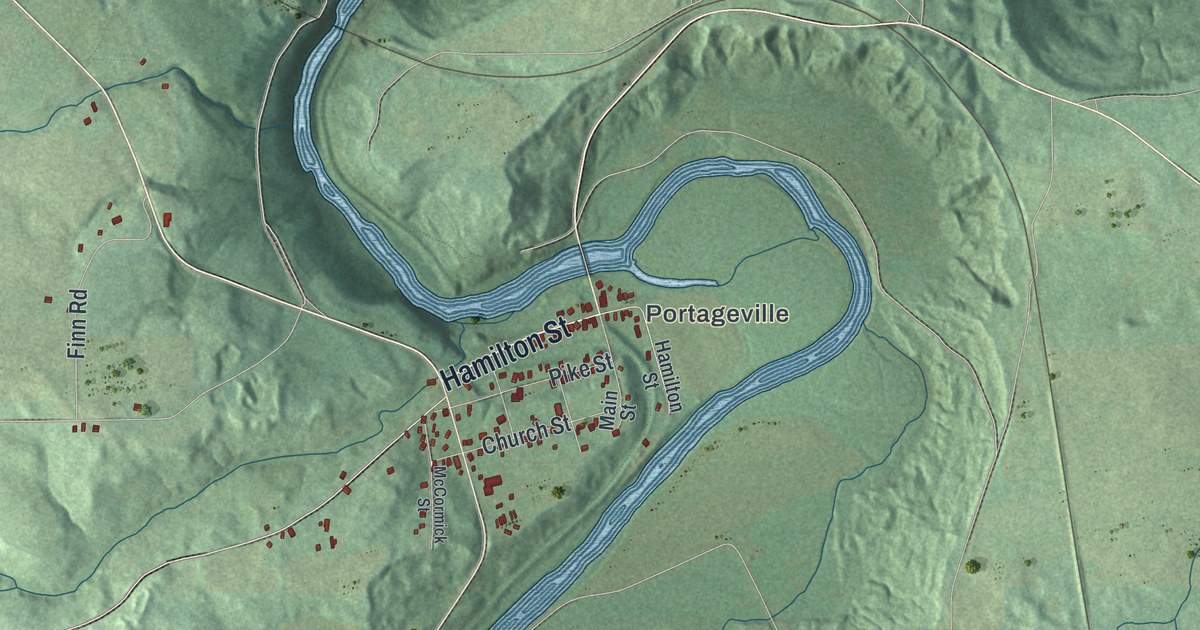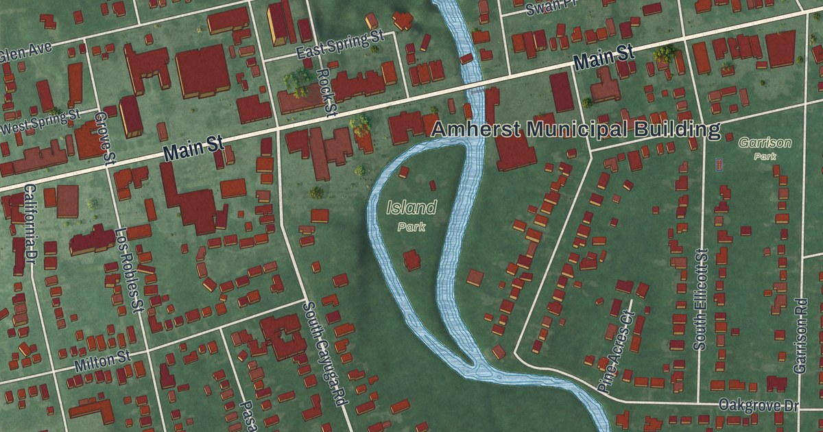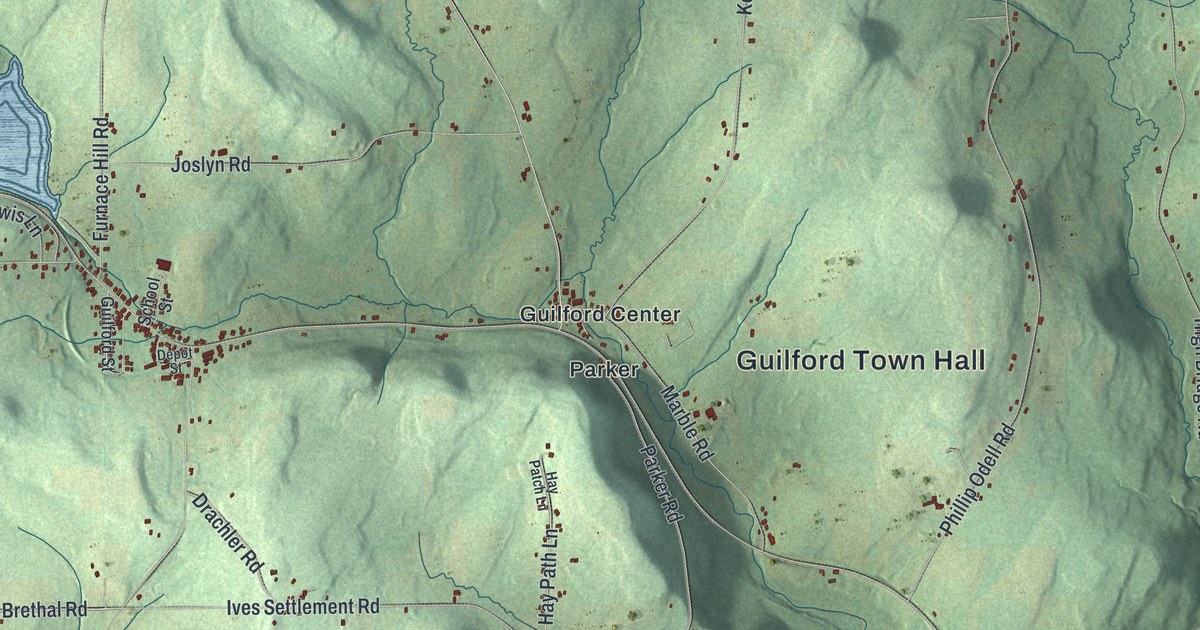
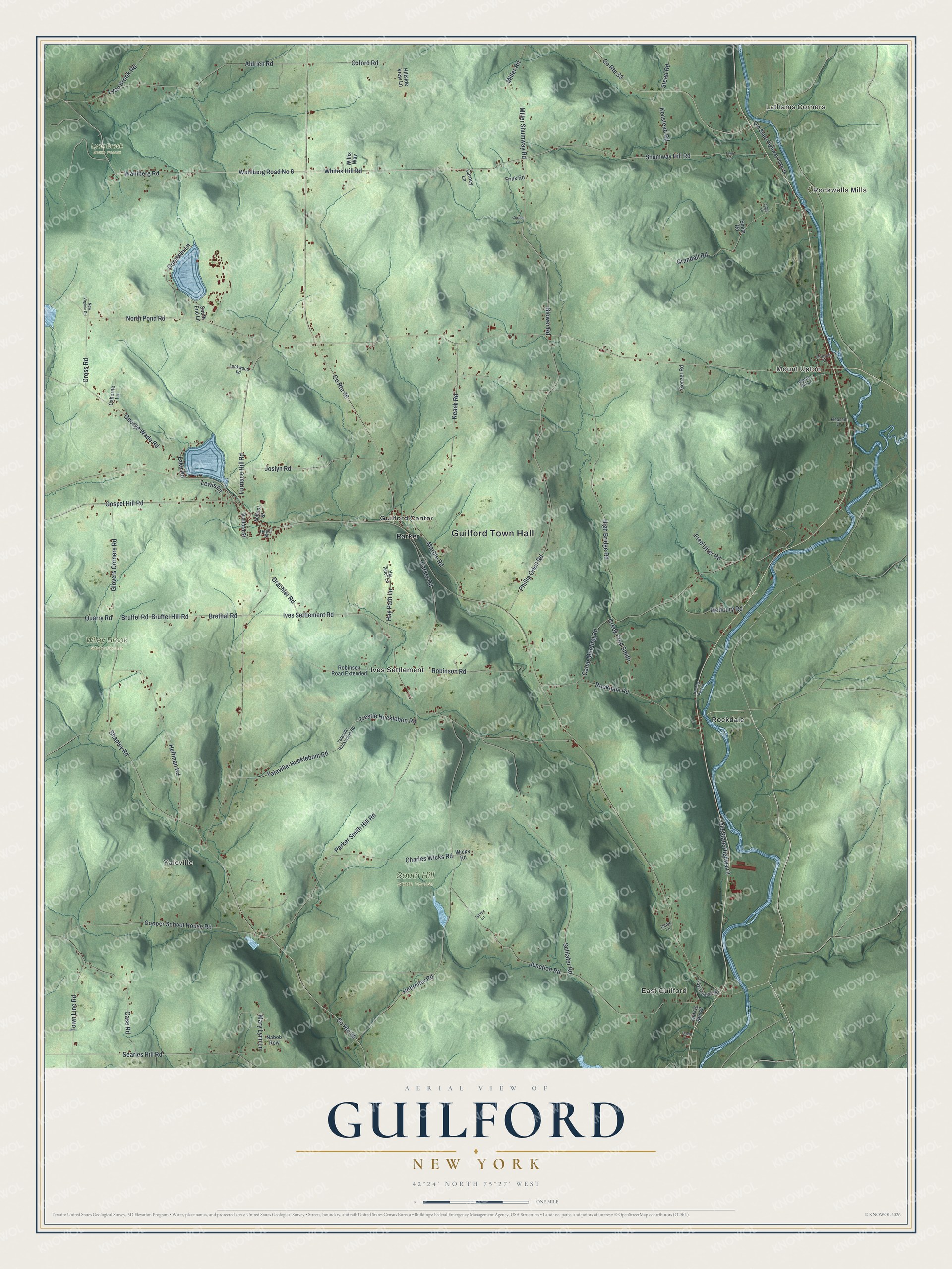
This beautifully detailed map of Guilford, New York was created in 2026 using aerial imagery combined with modern topographical, census, street and landmark data. It’s a one-of-a-kind view of Guilford that combines accurate data with a vintage aesthetic. The map shows every building in its true location, many of the roads carry their names, and the shaded topographic relief shows the shape of the land.
Explore an aerial view of Guilford, New York
On the map you’ll find Guilford Town Hall, Lathams Corners, East Guilford, Rockwells Mills, Mount Upton, Yaleville, Lyon Brook State Forest, South Hill State Forest, and Wiley Brook State Forest, along with Shumway Hill Road, Whites Hill Road, Wahlberg Road, Trestle Hucklebon Road, and more. If you look closely you can even find your house accurately drawn in its correct location. Zoom in on the preview to look for yours.
Did You Know?
Among the first settlers here were the Mercereau brothers, who had spied for George Washington during the Revolutionary War. They made their home in what is now East Guilford. There they built a mill at Indian Orchard Falls on Guilford Creek, beside the Catskill Turnpike.
Take a closer look at the Guilford map
Names on this map
These names are printed on this map.
Places: Guilford Town Hall, Lathams Corners, East Guilford, Rockwells Mills, Mount Upton, Yaleville, Lyon Brook State Forest, South Hill State Forest, Wiley Brook State Forest, Guilford Center, Ives Settlement, Parker and Rockdale.
Streets and roads: Shumway Hill Road, Whites Hill Road, Wahlberg Road, Wahlberg Road No 6, Trestle Hucklebon Road, Blower Road, Parker Smith Hill Road, Bruffel Road, Brethal Road, Bruffel Hill Road, North Pond Road, High Bridge Road.
More street names, A to Z
Aldrich Road, Camp Meeting Road, Carney Lane, Case Road, Charles Wicks Road, Church Street, Cooper School House Road, Cordes Lane, County Route 33, County Route 36, County Route 38, Crandall Road, Creek Fred Smith, Cross Road, Davis Lane, Dema Lane, Depot Street, Drachler Road, East Guilford Road, Fred Utter Road, Frink Road, Fuller Lane, Furnace Hill Road, George Wade Road, Glovers Corners Road, Gonzer Road, Goodwin Lane, Gospel Hill Road, Guilford Street, Hay Patch Lane, Hay Path Lane, Hillside View Lane, Hitching Post Lane, Hoffman Road, Hohreiter Road, Ives Settlement Road, Joslyn Road, Junction Road, Keach Road, Kenstead Road, Lake Road, Lenroc Lane, Lewis Lane, Lockwood Road, Lynn Lane, Lyon Brook Road, Marble Road, Mary Lynn Lane, Medbury Road, Miller Road, Miller Shumway Road, Nabob Row, New Virginia Road, Old County Route 43, Old State Highway 8, Old State Highway 8 North, Osborne Lane, Oxford Road, Parker Road, Phillip Odell Road, Pleasant Lane, Quarry Road, Robinson Road, Robinson Road Extended, Rockdale Road, Schlafer Road, School Street, Searles Hill Road, Shapley Road, Smith Road, South End Lane, Stead Road, Town Line Road, Wicks Road, Willis Way, Windy Hill Lane, Yaleville-Hucklebom Road, Yaleville Hucklebon Road.
See it on a wall
The Guilford map as a framed print. Swipe for more.


This beautifully detailed map of Guilford makes an attractive addition to your office, library, or den, and it can even be used to teach children the geography and history of the area. It also makes a great gift for someone who left Guilford and still calls it home. When you’re done exploring, click here to get your copy of the Guilford map.