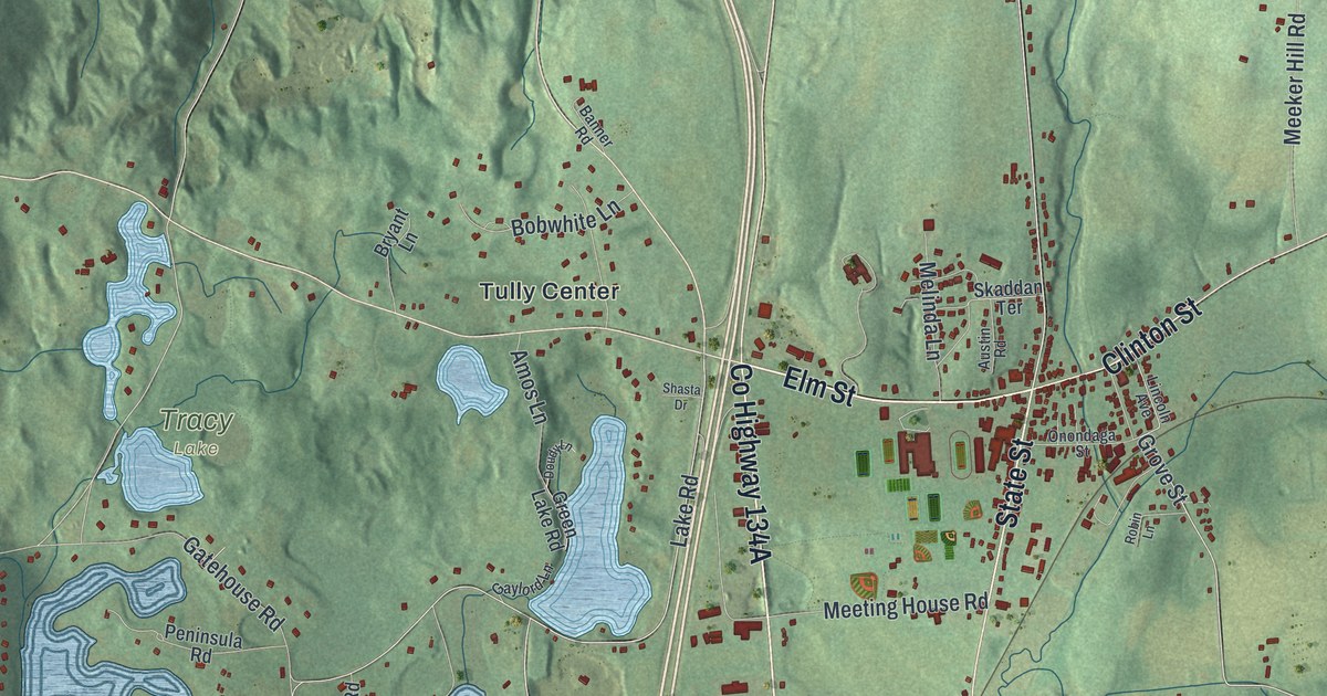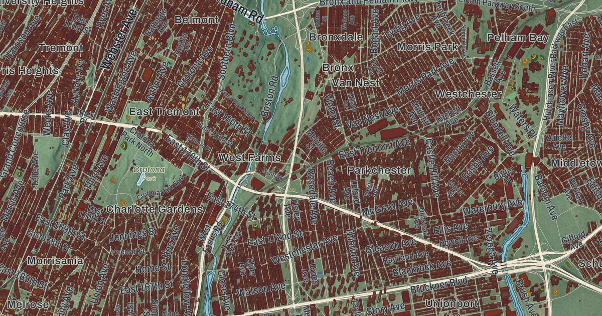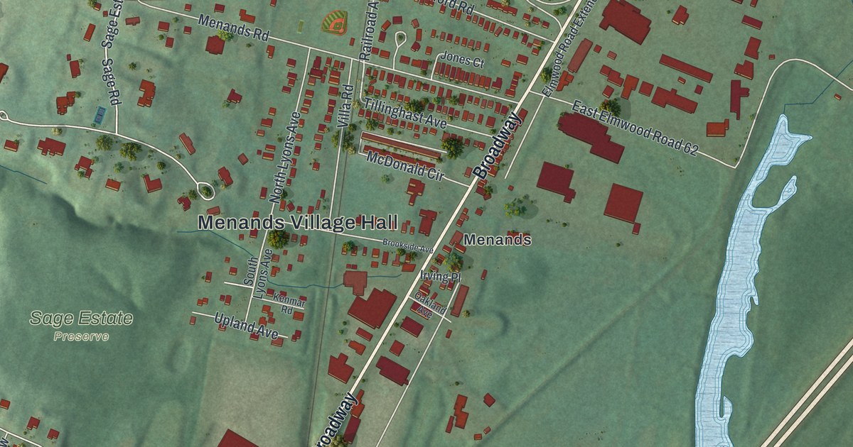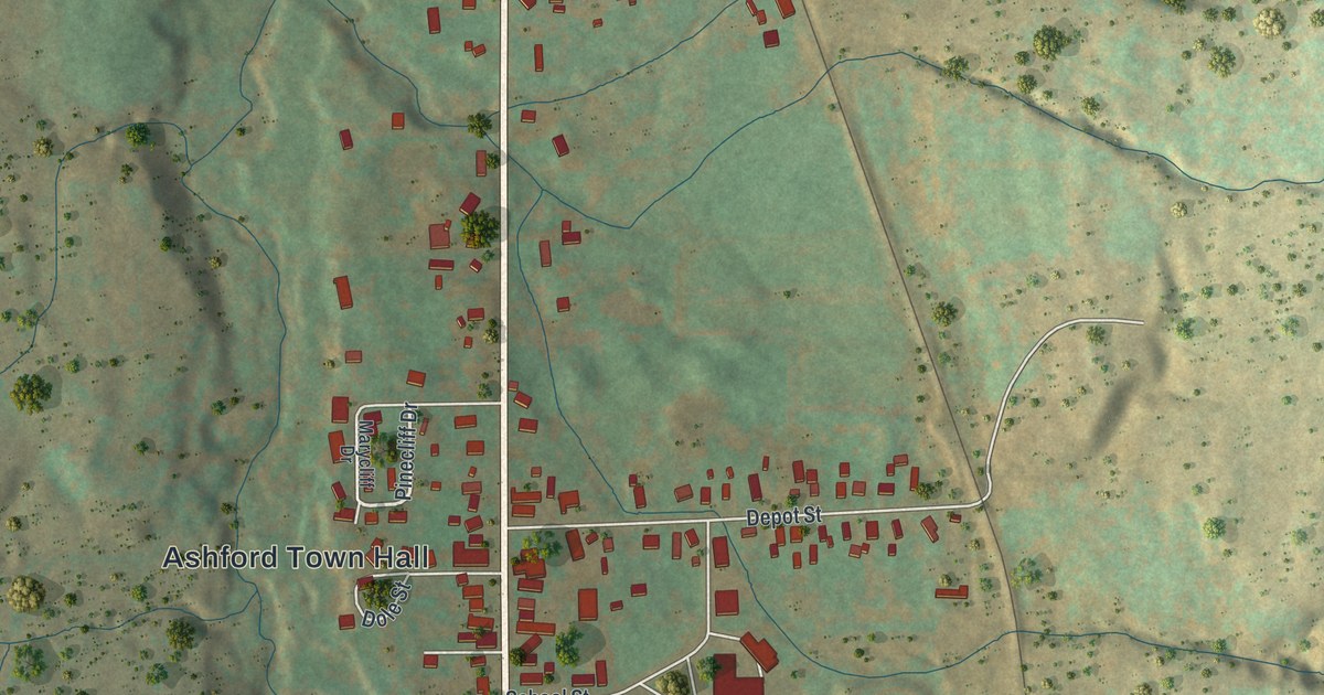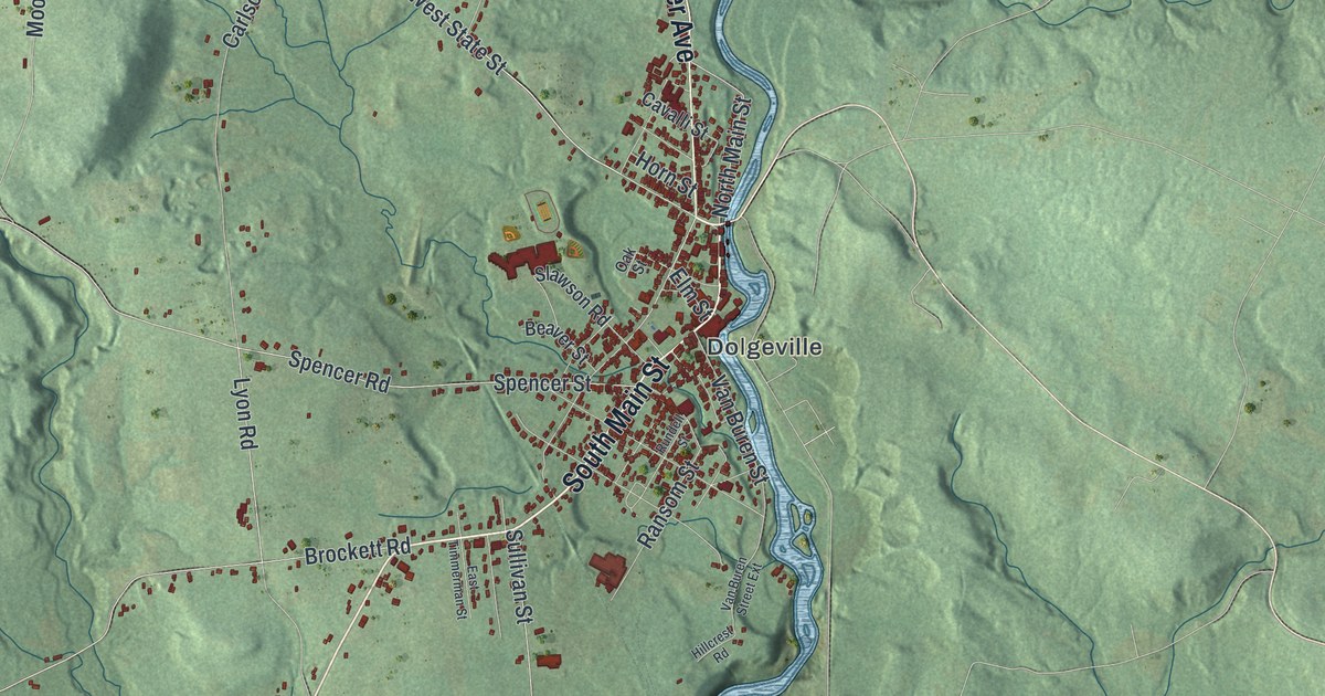
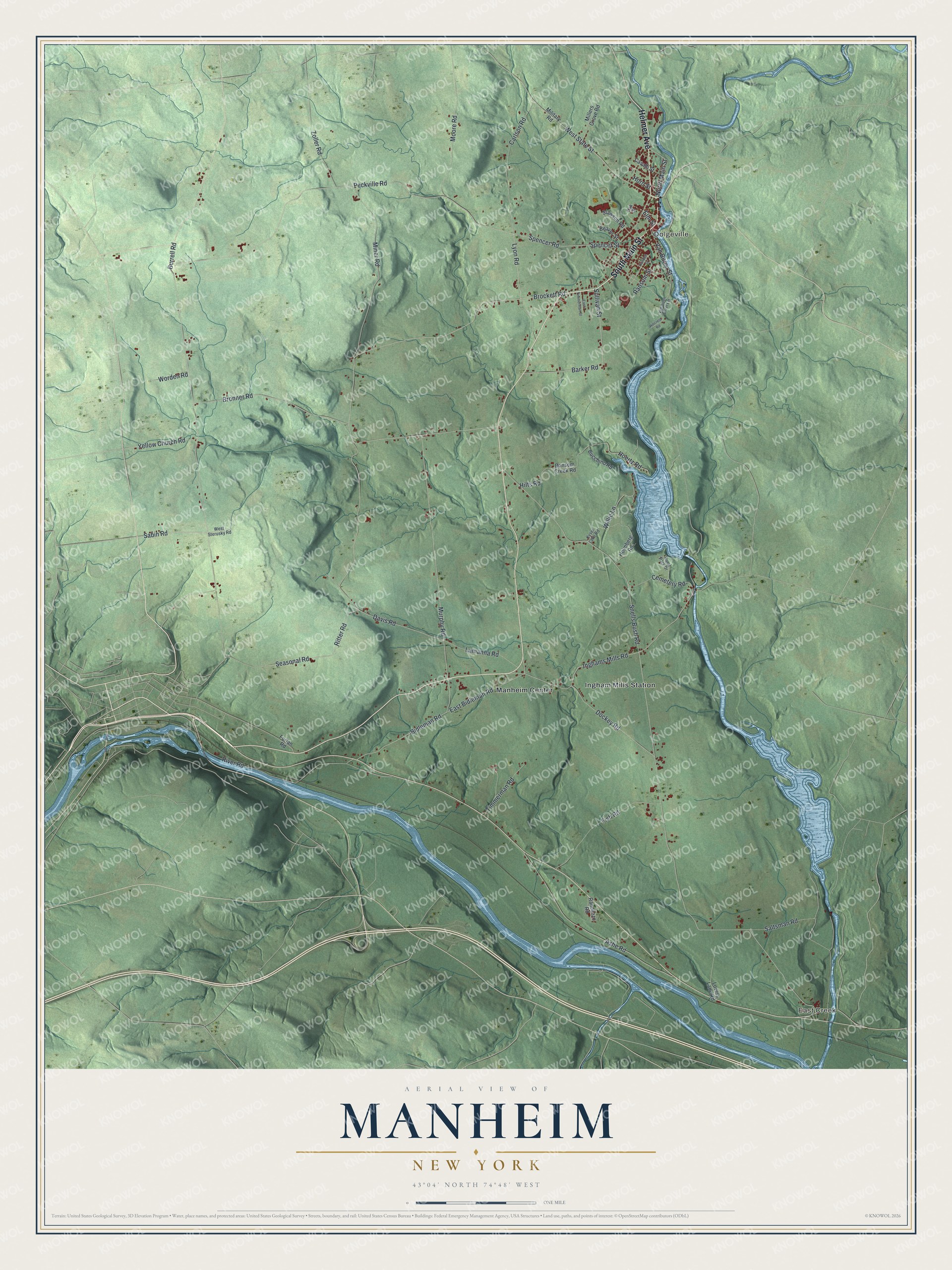
This beautifully detailed map of Manheim, New York was created in 2026 using aerial imagery combined with modern topographical, census, street and landmark data. It’s a one-of-a-kind view of Manheim that combines accurate data with a vintage aesthetic. The map shows every building in its true location, many of the roads carry their names, and the shaded topographic relief shows the shape of the land.
Explore an aerial view of Manheim, New York
On the map you’ll find East Creek, Dolgeville, Ingham Mills Station, and Manheim Center, along with Main Street, Helmer Avenue, State Street, Sabin Road, Elm Street, and more. If you look closely you can even find your house accurately drawn in its correct location. Zoom in on the preview to look for yours.
Did You Know?
Settlers from the German states first made homes in Manheim around 1756. They took the town’s name from Mannheim in Baden, Germany. The town was split off from the town of Palatine in 1797.
Take a closer look at the Manheim map
Names on this map
These names are printed on this map.
Places: East Creek, Dolgeville, Ingham Mills Station and Manheim Center.
Streets and roads: South Main Street, Helmer Avenue, West State Street, North Main Street, Sabin Road, Elm Street, Spencer Road, Inghams Mills Road, Hoertz Road, Snells Bush Road, Burrell Road, Peckville Road.
More street names, A to Z
Ashe Road, Barker Road, Beaver Street, Bidleman Road, Brockett Road, Bronner Road, Bucchino Road, Carlson Road, Cavalli Street, Cemetery Road, Davis Road, Dockey Road, East Bidleman Road, East Timmerman Street, Fish Road, Furlan Road, Hillcrest Road, Hilts Road, Holmberg Road, Horn Street, Kyser Lake Road, Lamanna Road, Lovers Lane Road, Lyon Road, Military Road, Millers Grove Road, Miner Road, Moore Road, Murphy Road, Oak Street, Randazzo Road, Ransom Creek Road, Ransom Street, Ritter Road, River Road, Rundell Street, Rural Park Drive, Saltsman Road, Seasonal Road, Slawson Road, Spencer Street, Sullivan Street, Timmerman Road, Van Buren Street, Van Buren Street Extension, West Sterusky Road, Willie Lane, Worden Road, Yellow Church Road, Zoller Road.
See it on a wall
The Manheim map as a framed print. Swipe for more.


This beautifully detailed map of Manheim makes an attractive addition to your office, library, or den, and it can even be used to teach children the geography and history of the area. It also makes a great gift for anyone who grew up in Manheim or moved away. When you’re done exploring, click here to get your copy of the Manheim map.