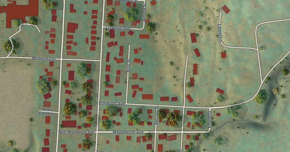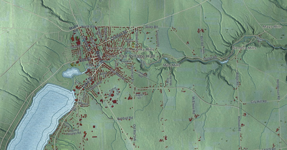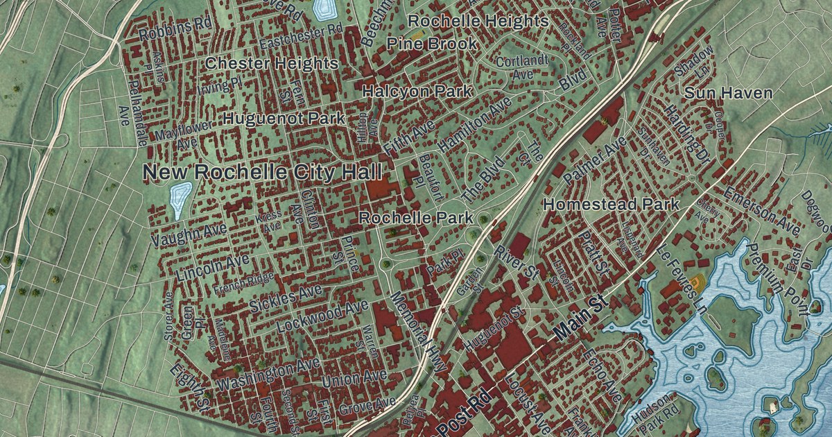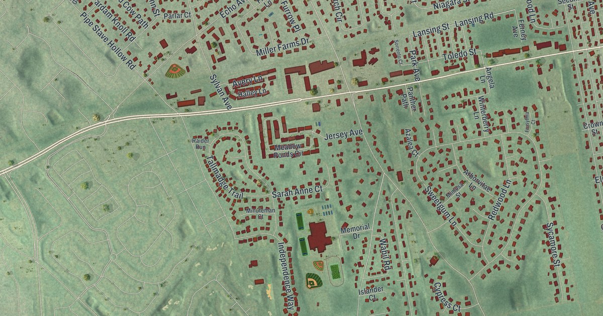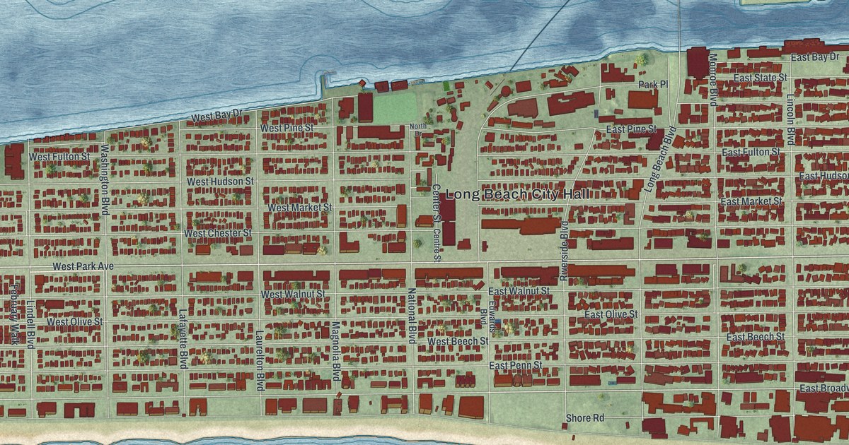
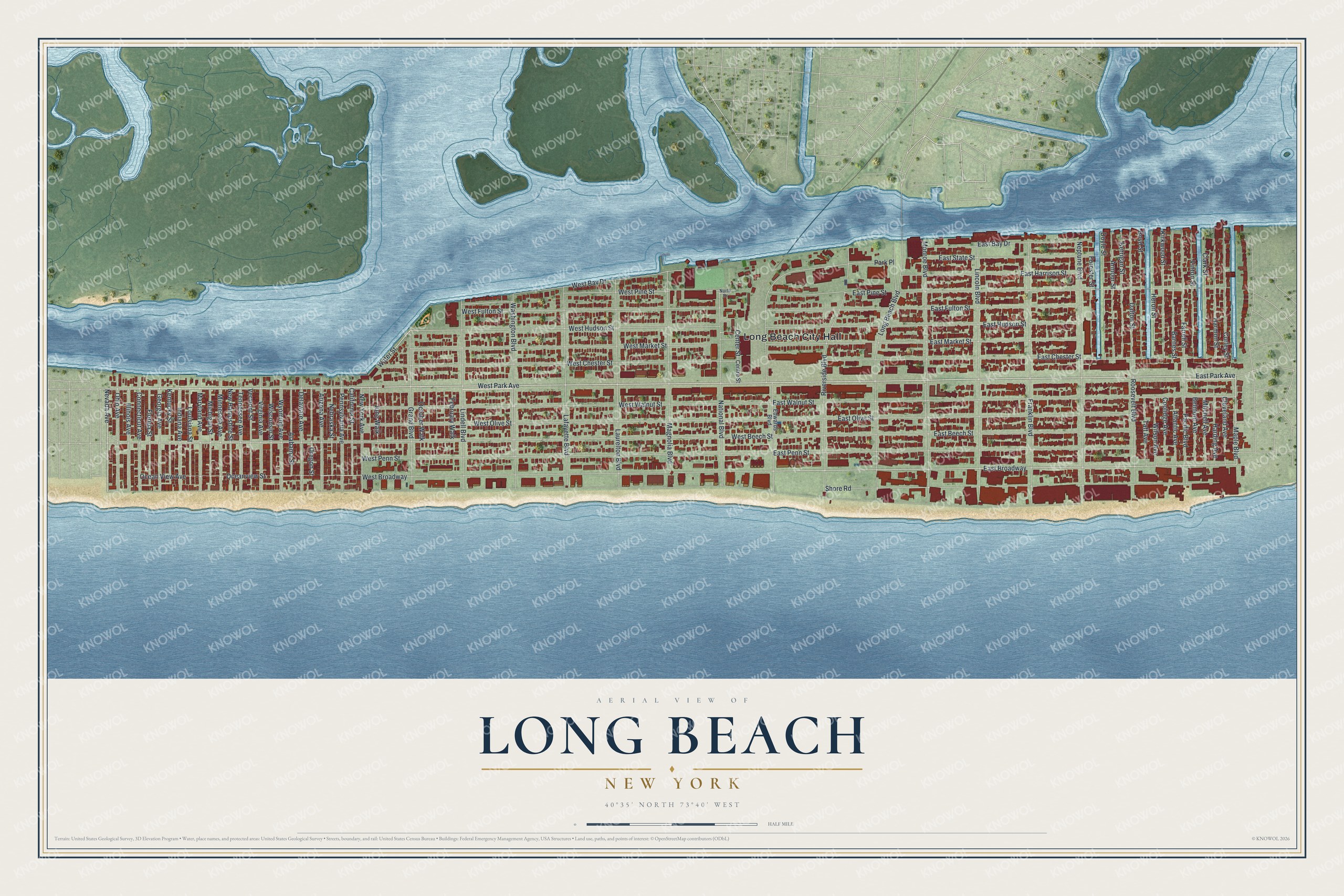
This beautifully detailed map of Long Beach, New York was created in 2026 using aerial imagery combined with modern topographical, census, street and landmark data. It’s a one-of-a-kind view of Long Beach that combines accurate data with a vintage aesthetic. The map shows every building in its true location, many of the roads carry their names, and the shaded topographic relief shows the shape of the land.
Explore an aerial view of Long Beach, New York
On the map you’ll find Long Beach City Hall and East Broadway, along with Park Avenue, Nevada Avenue, Maple Boulevard, and more. If you look closely you can even find your house accurately drawn in its correct location. Zoom in on the preview to look for yours.
Did You Know?
In 1907, developer William H. Reynolds bought up the island and planned a boardwalk, homes and hotels. As a publicity stunt, he marched a herd of elephants in from Coney Island’s Dreamland to help build the boardwalk. He billed Long Beach as the Riviera of the East. Every building needed white stucco walls and red clay tile roofs.
Take a closer look at the Long Beach map
Names on this map
These names are printed on this map.
Places: Long Beach City Hall.
Streets and roads: West Park Avenue, East Park Avenue, Nevada Avenue, Maple Boulevard, East Broadway, West Beech Street, West Bay Drive, Oceanview Street, Water Street, East Walnut Street, East Pine Street, West Broadway.
More street names, A to Z
Alabama Street, Arizona Avenue, Armour Street, Atlantic Avenue, Barnes Street, Belmont Avenue, Boyd Street, California Street, Center Street, Centre Street, Clark Street, Cleveland Avenue, Connecticut Avenue, Coolidge Avenue, Curley Street, Dalton Street, Delaware Avenue, Doyle Street, East Bay Drive, East Beech Street, East Chester Street, East Fulton Street, East Harrison Street, East Hudson Street, East Market Street, East Olive Street, East Penn Street, East State Street, Edwards Boulevard, Farrell Street, February Walk, Florida Street, Forester Street, Franklin Boulevard, Georgia Avenue, Grand Boulevard, Harding Avenue, Harmon Street, Heron Street, Illinois Avenue, Indiana Avenue, June Walk, Kentucky Street, Kerrigan Street, Kirkwood Street, Lafayette Boulevard, Laurelton Boulevard, Lincoln Boulevard, Lindell Boulevard, Long Beach Boulevard, Louisiana Street, Magnolia Boulevard, Maryland Avenue, Michigan Street, Minnesota Avenue, Mitchell Avenue, Monroe Boulevard, National Boulevard, Nebraska Street, Neptune Boulevard, New Hampshire Street, New York Avenue, North Drive, Ocean View Avenue, October Walk, Ohio Avenue, Oregon Street, Pacific Boulevard, Park Place, Pennsylvania Avenue, Riverside Boulevard, Roosevelt Boulevard, Shore Road, Taft Avenue, Tennessee Avenue, Vermont Street, Vinton Street, Virginia Avenue, Washington Boulevard, West Chester Street, West Fulton Street, West Hudson Street, West Market Street, West Olive Street, West Penn Street, West Pine Street, West Walnut Street, Wilson Avenue, Wisconsin Street, Wyoming Avenue.
See it on a wall
The Long Beach map as a framed print. Swipe for more.


This beautifully detailed map of Long Beach makes an attractive addition to your office, library, or den, and it can even be used to teach children the geography and history of the area. It also makes a great gift for anyone with Long Beach roots. When you’re done exploring, click here to get your copy of the Long Beach map.