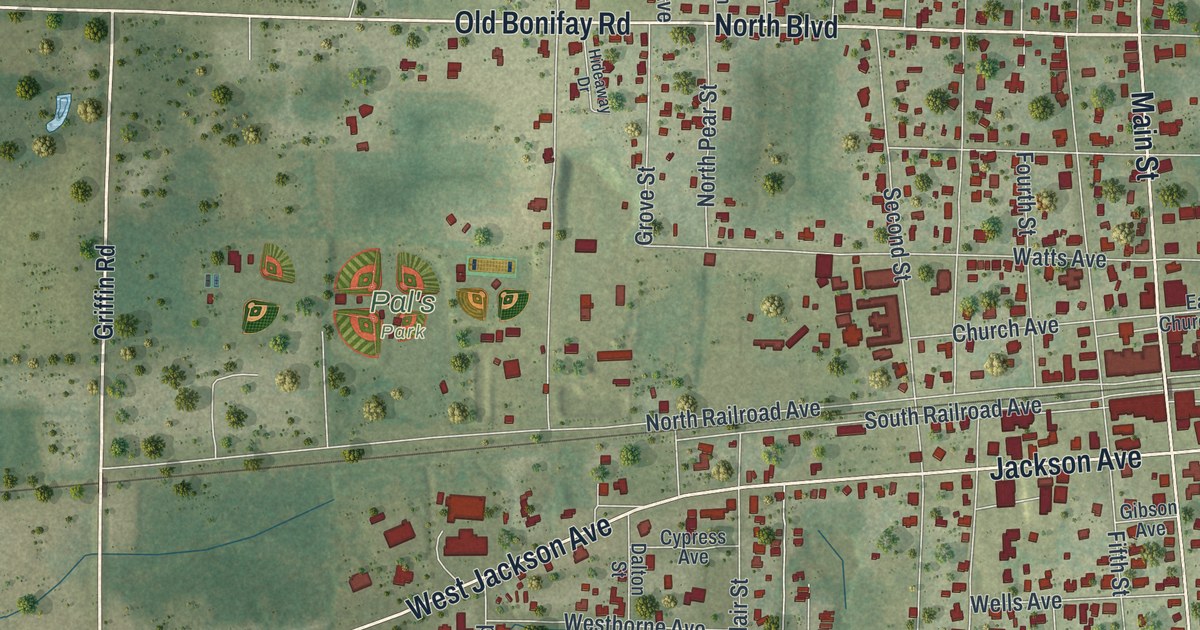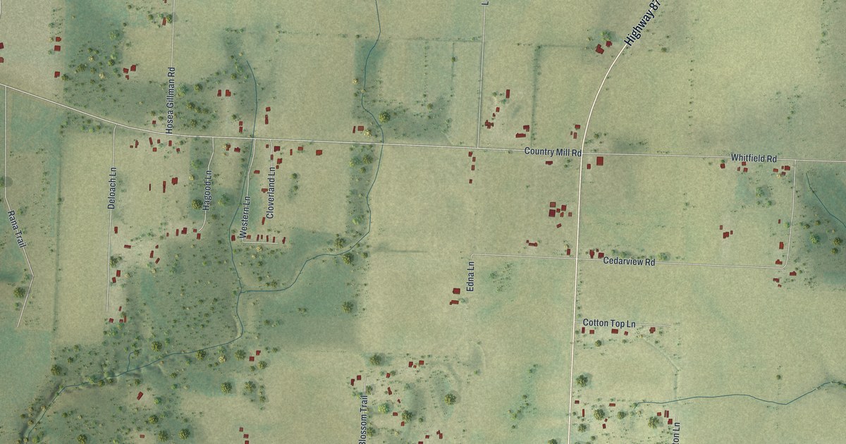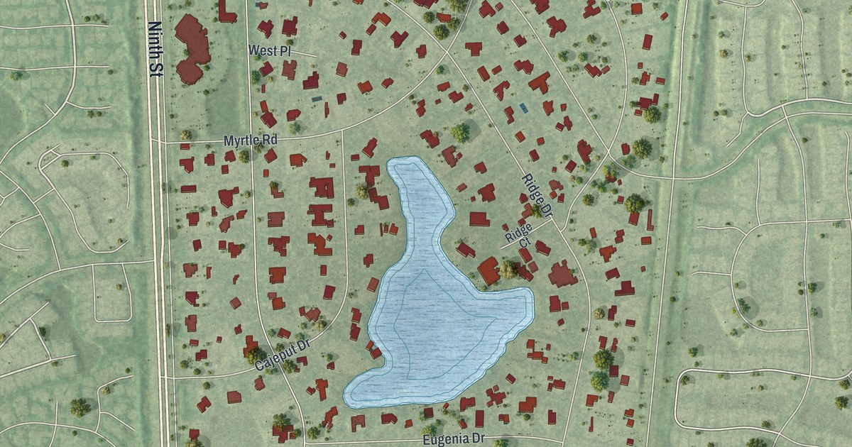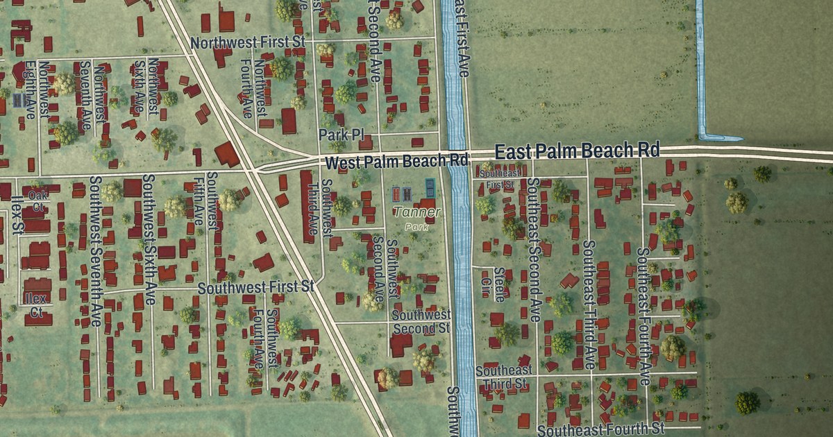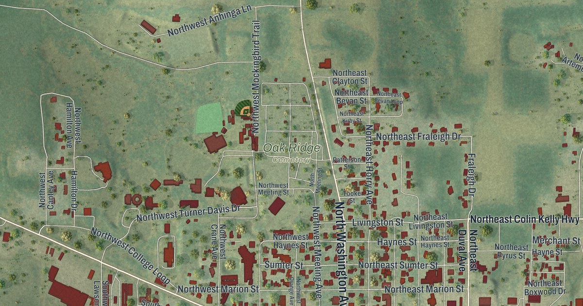
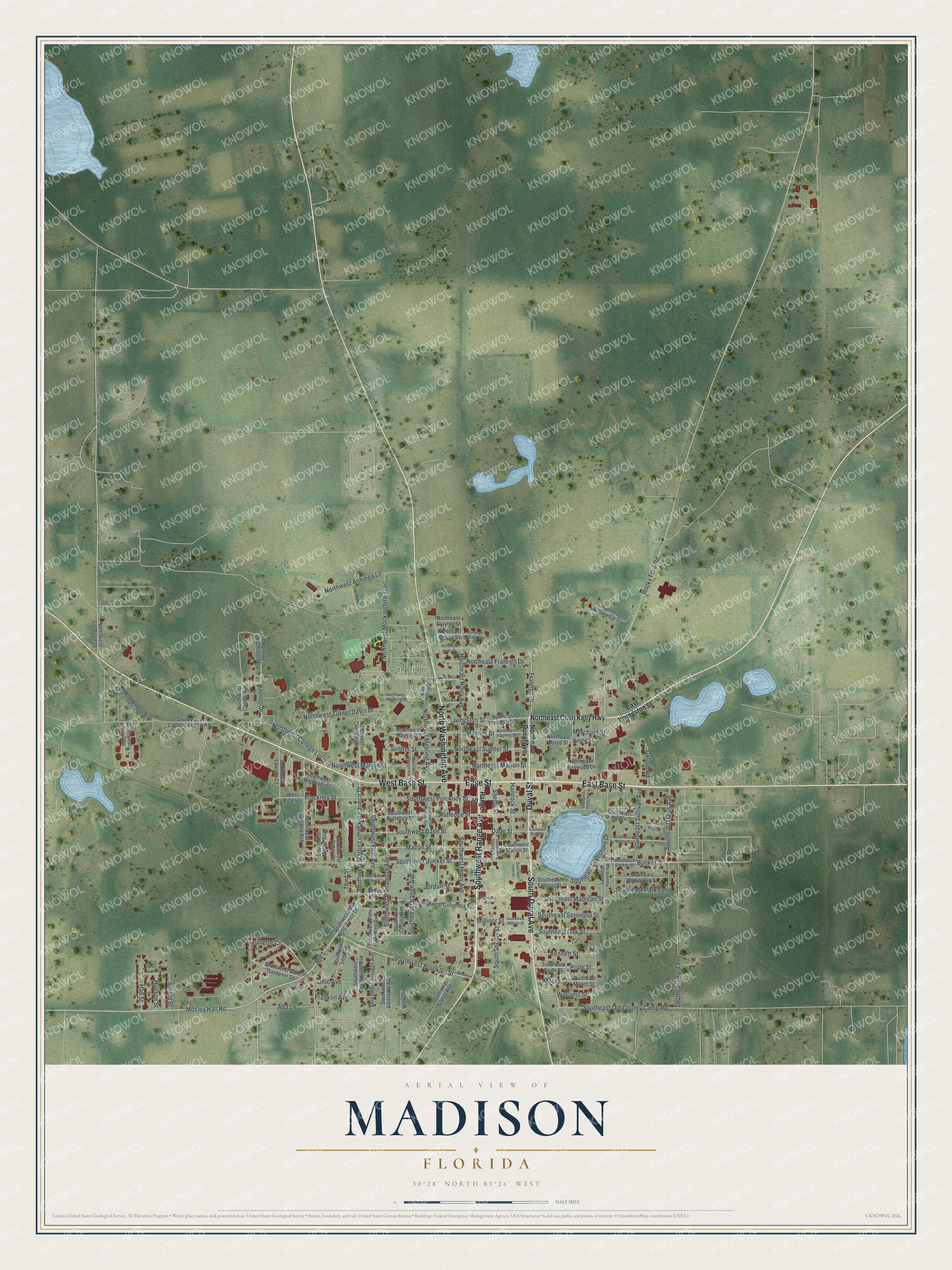
This beautifully detailed map of Madison, Florida was created in 2026 using aerial imagery combined with modern topographical, census, street and landmark data. It’s a one-of-a-kind view of Madison that combines accurate data with a vintage aesthetic. The map shows every building in its true location, many of the roads carry their names, and the shaded topographic relief shows the shape of the land.
Explore an aerial view of Madison, Florida
On the map you’ll find Oak Ridge Cemetery, along with East Base Street, Southwest Range Avenue, Base Street, West Base Street, Duval Street, South Duval Avenue, North Washington Avenue, Mosley Hall Road, Southwest Brooklyn Street, Southeast Davis Avenue, Bunker Street, and more. If you look closely you can even find your house accurately drawn in its correct location. Zoom in on the preview to look for yours.
Did You Know?
Colin Kelly grew up in Madison and finished high school there in 1932. He became a B-17 bomber pilot. On December 10, 1941, Zero fighters set his bomber on fire. Kelly ordered his crew to bail out and held the plane steady until it exploded, killing him. He is remembered as an early American hero of the war.
Take a closer look at the Madison map
Names on this map
These names are printed on this map.
Places: Oak Ridge Cemetery.
Streets and roads: East Base Street, Southwest Range Avenue, Base Street, West Base Street, Duval Street, South Duval Avenue, North Washington Avenue, Mosley Hall Road, Southwest Brooklyn Street, Southeast Davis Avenue, Bunker Street, Jeanette Circle.
More street names, A to Z
Ada Lane, Arnold Street, Bennett Street, Brooklyn Street, Columbia Street, Dade Street, East Livingston Street, Fraleigh Drive, Franklin Avenue, Hall Street, Hamilton Drive, Hancock Street, Haynes Street, Hayne Street, Hudson Street, Jordan Street, Livingston Street, Macon Street, Merchant Street, Millinor Street, Moore Street, Northeast Artemesia Trail, Northeast Bevan Loop, Northeast Bevan Street, Northeast Boxwood Drive, Northeast Clayton Street, Northeast Colin Kelly Highway, Northeast Duval Avenue, Northeast Fraleigh Drive, Northeast Haynes Street, Northeast Horry Avenue, Northeast Kirby Street, Northeast Livingston Street, Northeast Marion Street, Northeast Pyrus Street, Northeast Sumter Street, North Meeting Street, Northwest 90th Avenue, Northwest Anhinga Lane, Northwest Cantey Avenue, Northwest College Loop, Northwest County Road 25, Northwest Crane Avenue, Northwest Hamilton Avenue, Northwest Haynes Street, Northwest Marion Street, Northwest Meeting Avenue, Northwest Meeting Street, Northwest Mockingbird Trail, Northwest Orange Avenue, Northwest Turner Davis Drive, Ohio Avenue, Oxford Road, Patterson Street, Pinckney Street, Pride Street, Range Street, Rocky Ford Road, Route 1, Rutledge Street, Shelby Street, Smith Street, Southeast Bunker Street, Southeast Byrd Avenue, Southeast Dade Street, Southeast Flag Street, Southeast Francis Street, Southeast Lakeshore Drive, Southeast Macon Street, Southeast Madison Street, Southeast Moore Street, Southeast Oak Street, Southeast Old County Camp Road, Southeast Park Loop, Southeast Pawnee Avenue, Southeast Pride Street, Southeast Priest Avenue, Southeast Rutledge Street, Southeast Seminole Street, Southeast Sullivan Avenue, Southeast Woodlawn Street, South Happy Street, South Shelby Street, Southwest Arbour Circle, Southwest Brookwood Avenue, Southwest Bum Gardener Drive, Southwest Bunker Street, Southwest Captain Brown Road, Southwest Columbia Street, Southwest Crosby Avenue, Southwest Dade Street, Southwest First Avenue, Southwest Ganzy Avenue, Southwest Horry Avenue, Southwest Lawson Court, Southwest Lee Avenue, Southwest Leon Drive, Southwest Macon Street, Southwest Martin Luther King Junior Drive, Southwest Meeting Avenue, Southwest Merritt Avenue, Southwest Miller Street, Southwest Millinor Street, Southwest Ml King Junior Drive, Southwest Orange Avenue, Southwest Parramore Avenue, Southwest Pete Mobley Avenue, Southwest Pinckney Street, Southwest Rutledge Street, Southwest Safari Drive, Southwest Scruggs Avenue, Southwest Shelby Avenue, Southwest Sumatra Avenue, Southwest Valentine Avenue, Southwest Westover Street, Sumter Street, Third Street, Tooke Street, West Pickney, Williams Street.
See it on a wall
The Madison map as a framed print. Swipe for more.


This beautifully detailed map of Madison makes an attractive addition to your office, library, or den, and it can even be used to teach children the geography and history of the area. It also makes a great gift for anyone who grew up in Madison or moved away. When you’re done exploring, click here to get your copy of the Madison map.