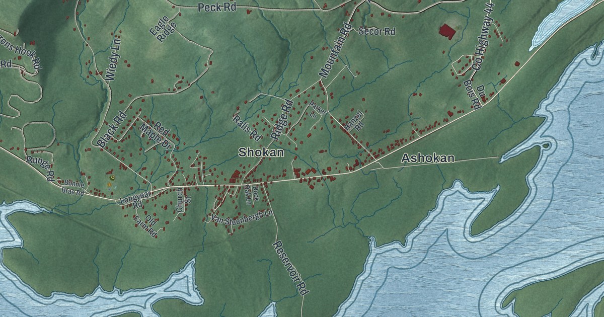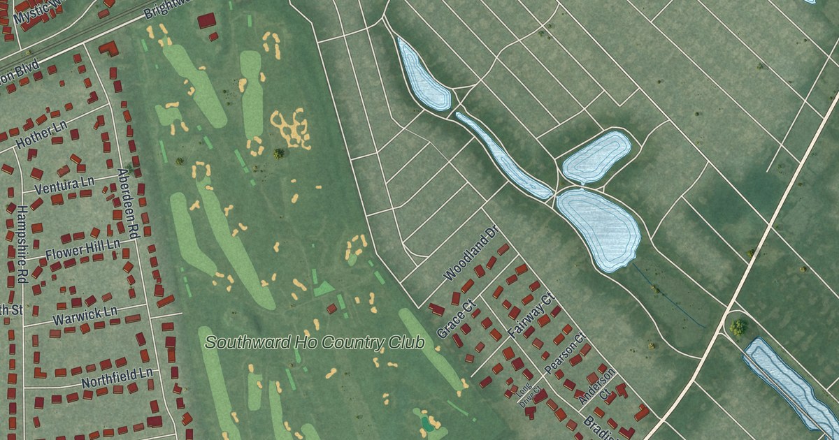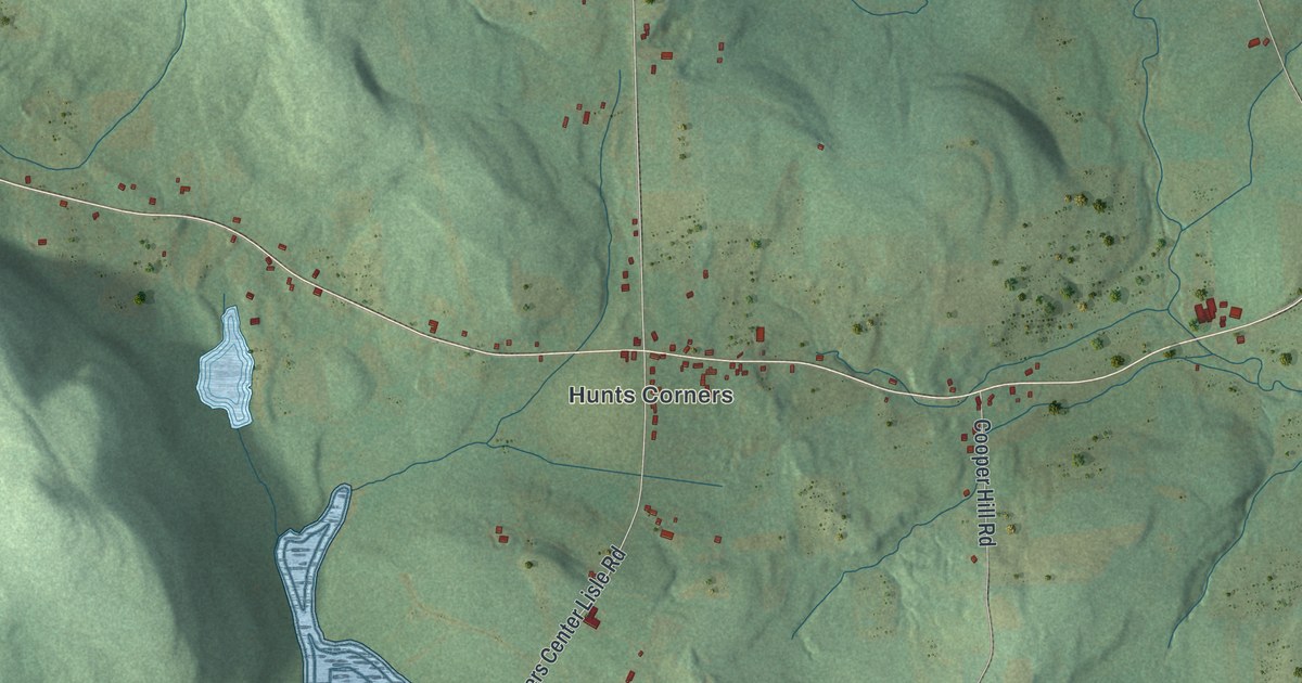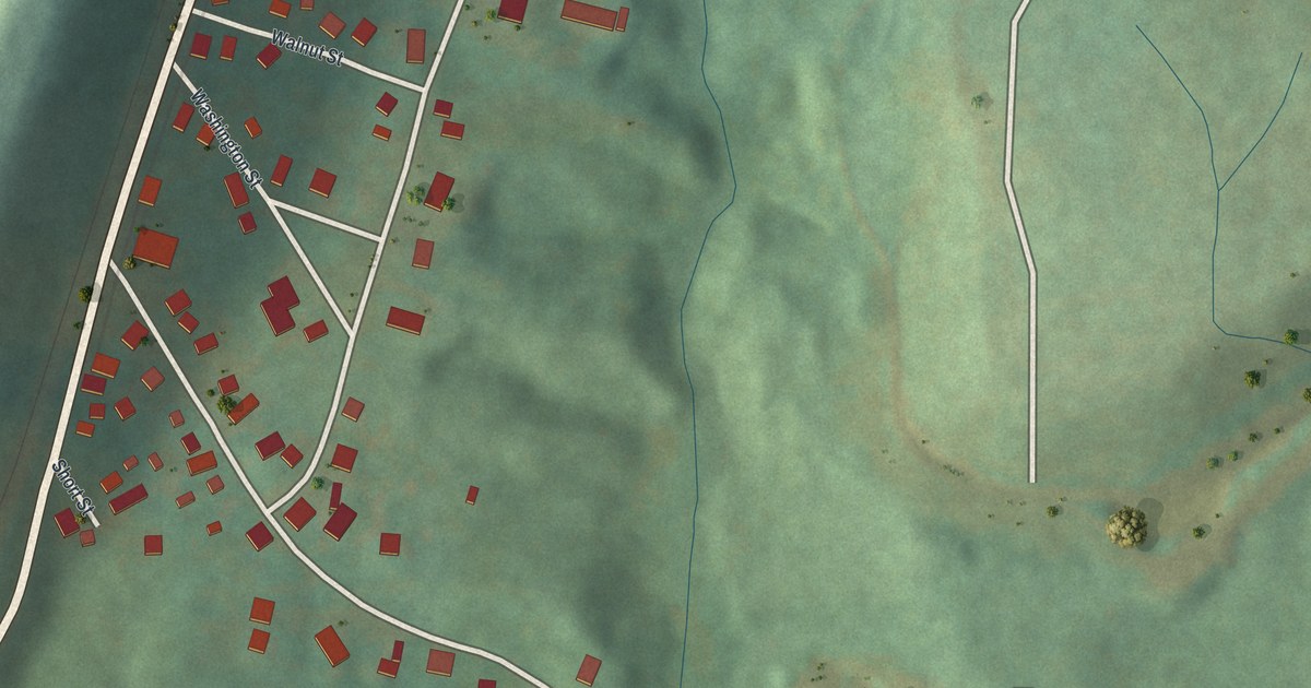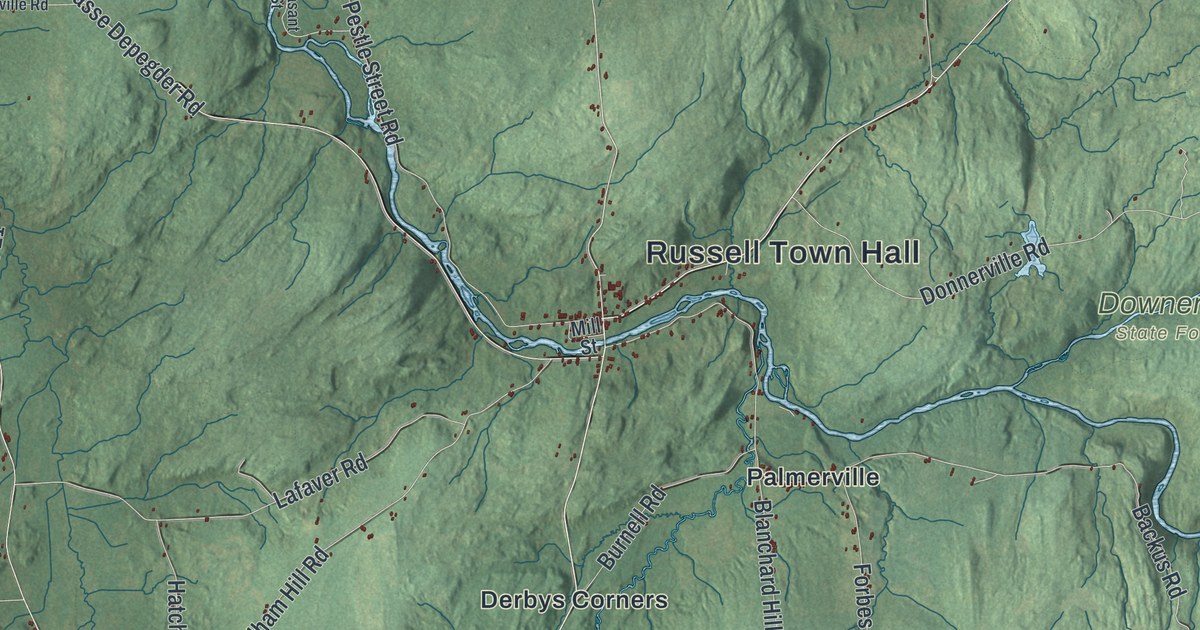
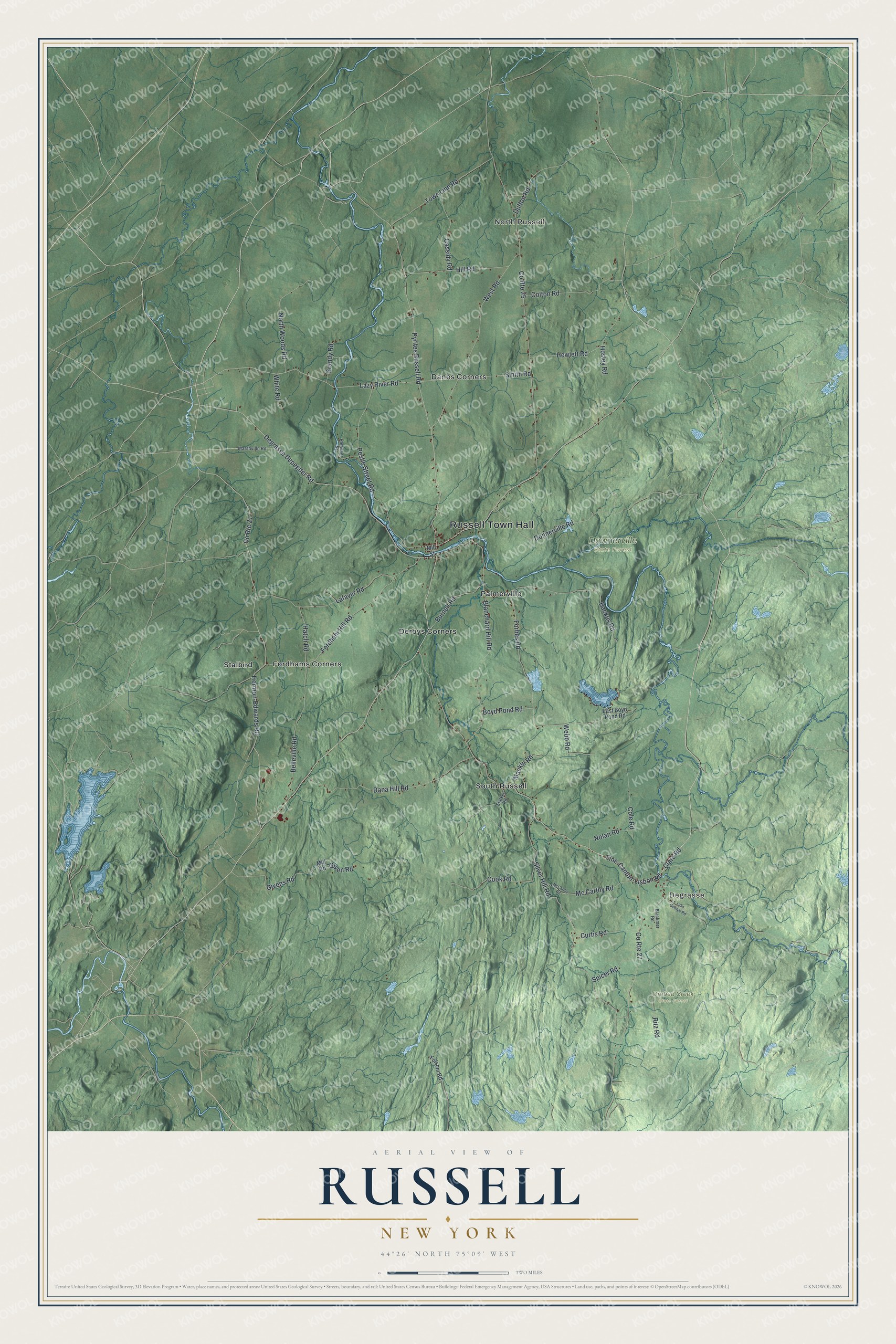
This beautifully detailed map of Russell, New York was created in 2026 using aerial imagery combined with modern topographical, census, street and landmark data. It’s a one-of-a-kind view of Russell that combines accurate data with a vintage aesthetic. The map shows every building in its true location, many of the roads carry their names, and the shaded topographic relief shows the shape of the land.
Explore an aerial view of Russell, New York
On the map you’ll find Russell Town Hall, North Russell, Degrasse, Danes Corners, Derbys Corners, Fordhams Corners, Downerville State Forest, and Orebed Creek State Forest, along with Pyrites Russell Road, Fine-Canton-Lisbon Road, Lazy River Road, Clare Road, and more. If you look closely you can even find your house accurately drawn in its correct location. Zoom in on the preview to look for yours.
Did You Know?
Russell Atwater bought this land in 1798, and the town carries his first name. Settlers arrived in 1805. When the town was formed in 1807, Atwater was elected its first supervisor. During the War of 1812, an arsenal stood near Russell village. It later served as a school until fire destroyed it in 1945.
Take a closer look at the Russell map
Names on this map
These names are printed on this map.
Places: Russell Town Hall, North Russell, Degrasse, Downerville State Forest, Orebed Creek State Forest, Danes Corners, Derbys Corners, Fordhams Corners, Palmerville, South Russell and Stalbird.
Streets and roads: Pyrites Russell Road, Fine-Canton-Lisbon Road, Lazy River Road, Clare Road, County Route 25, Silver Hill Road, Hermon-Edwards Road, Degrasse Depegder Road, Blanchard Hill Road, Pestle Street Road, Fordham Hill Road, West Road.
More street names, A to Z
Backus Road, Belleville Road, Blackmer Road, Boyd Pond Road, Burnell Road, Cassidy Road, Cole Road, Colton Road, Cook Road, County Route 21, County Route 27, Curtis Road, Dana Hill Road, Donnerville Road, Dutton Road, East Boyd Pond Road, Folsom Road, Forbes Road, Given Road, Givens Road, Grandy Road, Hatch Road, Hewlett Road, Hill Road, Hosley Road, Lafaver Road, Lake George Road, Mackin Road, Marshville Road, Mc Carthy Road, McCarthy Road, Mill Road, Mill Street, Nolan Road, North Woods Road, Pleasant Street, Ritz Road, Smith Road, Spicer Road, Stalker Road, Town Line Road, Webb Road, White Road.
See it on a wall
The Russell map as a framed print. Swipe for more.


This beautifully detailed map of Russell makes an attractive addition to your office, library, or den, and it can even be used to teach children the geography and history of the area. It also makes a great gift for anyone who grew up in Russell or moved away. When you’re done exploring, click here to get your copy of the Russell map.