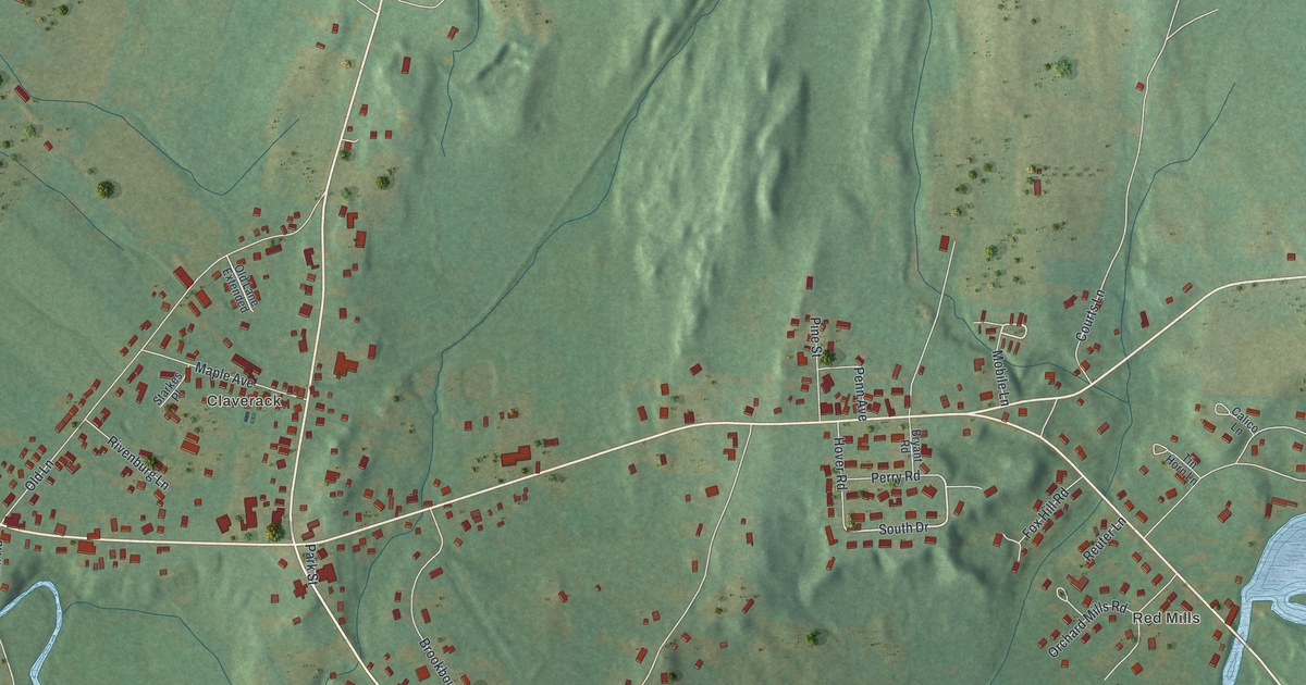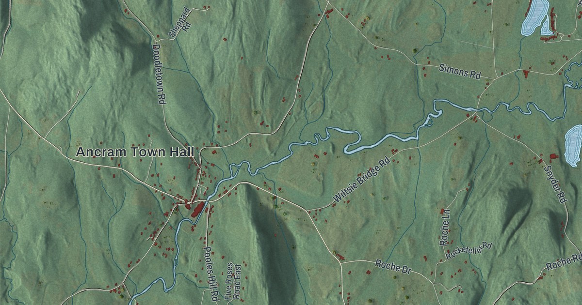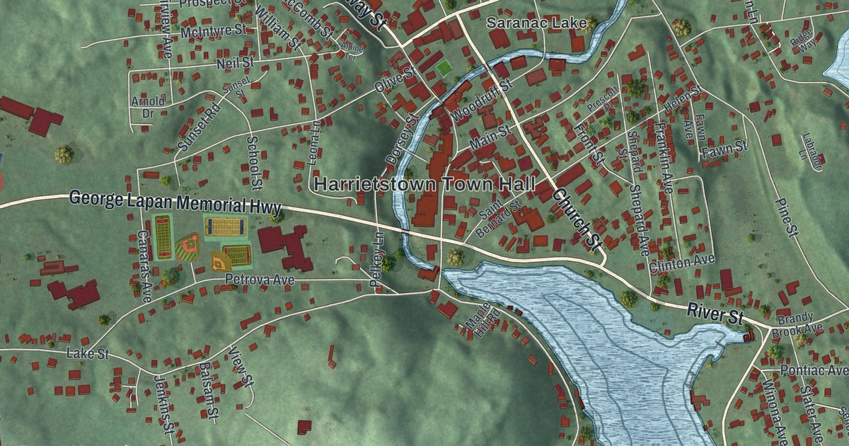
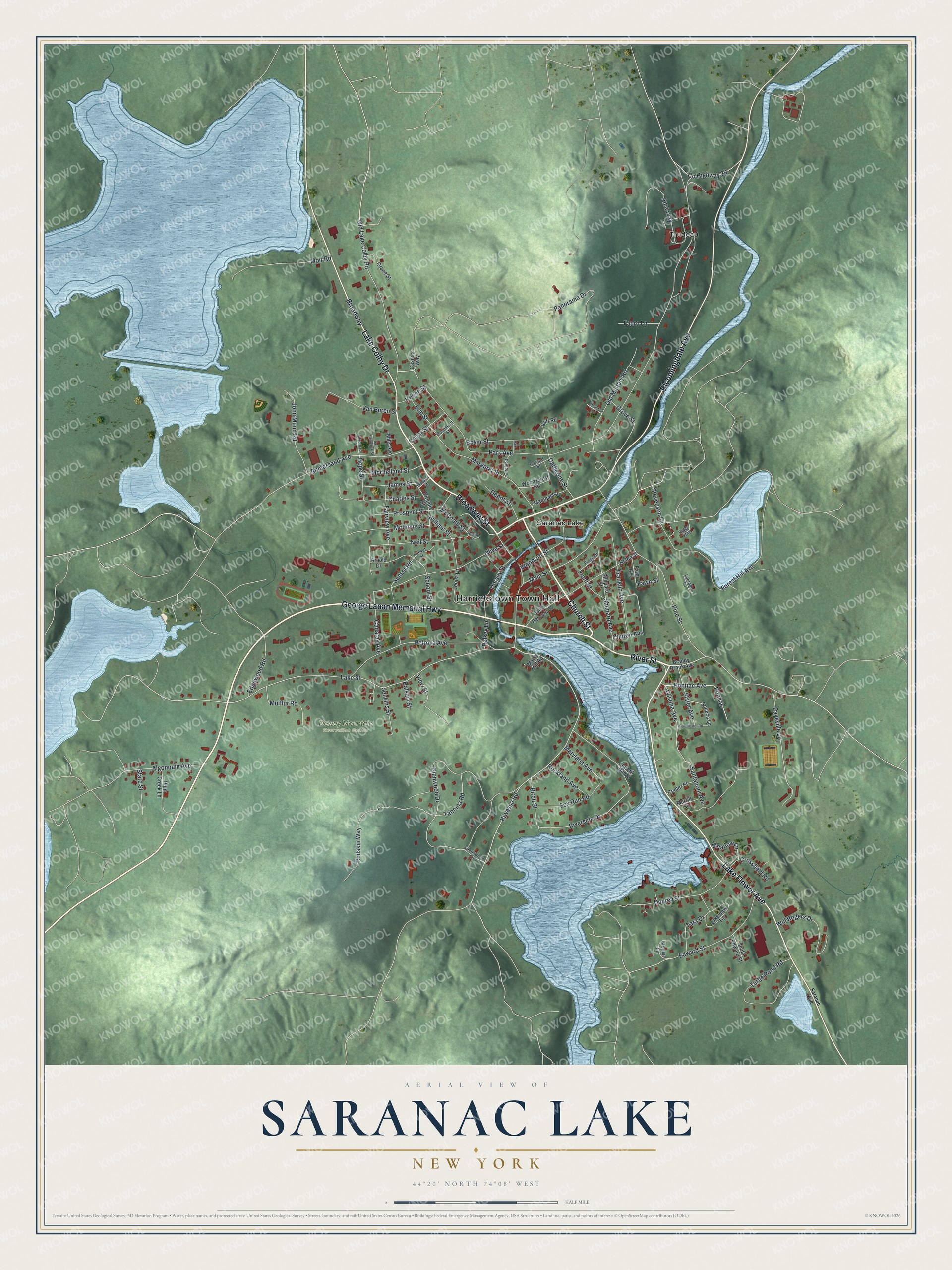
This beautifully detailed map of Saranac Lake, New York was created in 2026 using aerial imagery combined with modern topographical, census, street and landmark data. It’s a one-of-a-kind view of Saranac Lake that combines accurate data with a vintage aesthetic. The map shows every building in its true location, many of the roads carry their names, and the shaded topographic relief shows the shape of the land.
Explore an aerial view of Saranac Lake, New York
On the map you’ll find Harrietstown Town Hall, Trudeau, and Dewey Mountain Recreation Center, along with George Lapan Memorial Highway, River Street, Bloomingdale Avenue, Broadway Street, and more. If you look closely you can even find your house accurately drawn in its correct location. Zoom in on the preview to look for yours.
Did You Know?
Dr. Edward Livingston Trudeau came to Saranac Lake in 1876, sick with tuberculosis. The cold, dry mountain air restored his health. In 1884 he opened the Adirondack Cottage Sanitarium in one small cottage called Little Red. Two sisters from New York City became his first patients, and author Robert Louis Stevenson came in 1887.
Take a closer look at the Saranac Lake map
Names on this map
These names are printed on this map.
Places: Harrietstown Town Hall, Trudeau, Dewey Mountain Recreation Center and Saranac Lake.
Streets and roads: George Lapan Memorial Highway, River Street, Bloomingdale Avenue, Broadway Street, Lake Flower Avenue, Lake Colby Drive, Church Street, Pine Street, Kiwassa Road, Main Street, Lake Street, Sunset Road.
More street names, A to Z
Adirondack Street, Algonquin Avenue, Alpine Terrace, Ama Way, Ampersand Avenue, Arnold Drive, Baker Street, Balsam Street, Birch Street, Brandy Brook Avenue, Broadway, Canaras Avenue, Casiers Way, Catherine Street, Cedar Street, Center Street, Charles Street, Circle Street, Cliff Road, Clinton Avenue, County Highway 20, Crossfield Road, Depot Street, Dorchester Road, Dorsey Street, Duprey Street, Edgewood Road, Edward Street, Elm Street, Fairview Avenue, Fauro Lane, Fawn Avenue, Fawn Street, Forest Hill Avenue, Fox Run Road, Franklin Avenue, Front Street, Garden Street, Glennwood Drive, Glenwood Drive, Grace Street, Grove Street, Harbor Hill Lane, Haward Street, Helen Street, Hope Street, James Street, Jenkins Street, John Munn Road, Keene Street, Labrador Lane, Lakeview Terrace, Leona Lane, Maple Hill Road, Margaret Street, Marshall Street, Maryland Avenue, McClelland Street, McComb Street, McIntyre Street, Meadow Lane, Merrill Street, Mills Avenue, Moir Road, Mountain Lane, Mulflur Road, Neil Street, Old Lake Colby Road, Old Military Road, Olive Street, Panorama Drive, Park Avenue, Park Lane, Payeville Lane, Pelkey Lane, Petrova Avenue, Plum Creek Lane, Pontiac, Pontiac Avenue, Poplar Lane, Prescott Place, Prospect Street, Redskin Way, Ridge Way, Riverside Drive, Rockland Avenue, Rosemont Street, Saint Bernard Street, Saint Lawrence Street, Santanoni Avenue, Saranac Avenue, School Street, Seneca Lane, Shepard Avenue, Shepard Street, Slater Avenue, South Edward Street, State Street, Stevenson Lane, Sunset Street, Tahoma Road, Tara Drive, Turtle Pond Road, Van Buren Street, View Street, Virginia Street, William Street, Will Rogers Drive, Winona Avenue, Woodruff Street, Woodycrest Road.
See it on a wall
The Saranac Lake map as a framed print. Swipe for more.


This beautifully detailed map of Saranac Lake makes an attractive addition to your office, library, or den, and it can even be used to teach children the geography and history of the area. It also makes a great gift for anyone who grew up in Saranac Lake or moved away. When you’re done exploring, click here to get your copy of the Saranac Lake map.