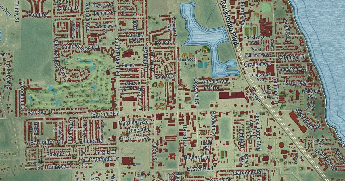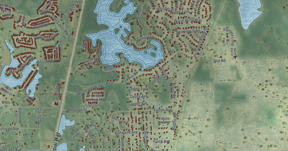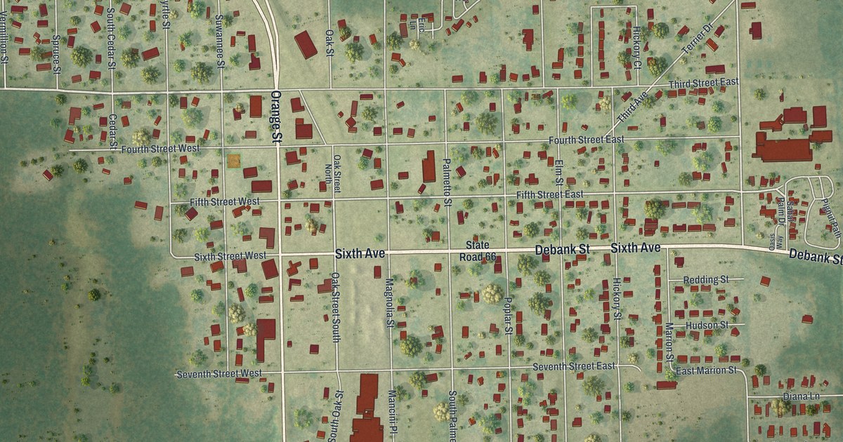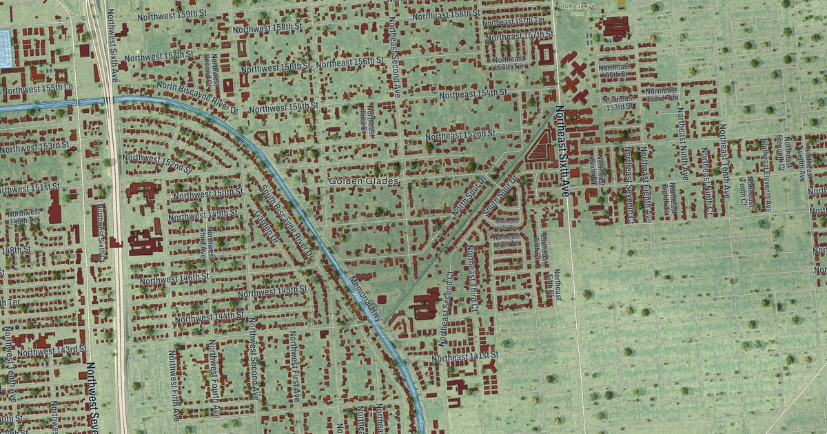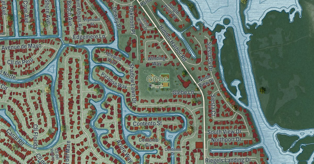
This beautifully detailed map of Siesta Key, Florida was created in 2026 using aerial imagery combined with modern topographical, census, street and landmark data. It’s a one-of-a-kind view of Siesta Key that combines accurate data with a vintage aesthetic. The map shows every building in its true location, many of the roads carry their names, and the shaded topographic relief shows the shape of the land.
Explore an aerial view of Siesta Key, Florida
On the map you’ll find Bailey Hall, Siesta Beach Park, and Glebe Park, along with Midnight Pass Road, Higel Avenue, La Paloma Avenue, Stickney Point Road, Cape Leyte Drive, West Peppertree Lane, Azure Way, Ocean Boulevard, Sandy Beach Avenue, and more. If you look closely you can even find your house accurately drawn in its correct location. Zoom in on the preview to look for yours.
Take a closer look at the Siesta Key map
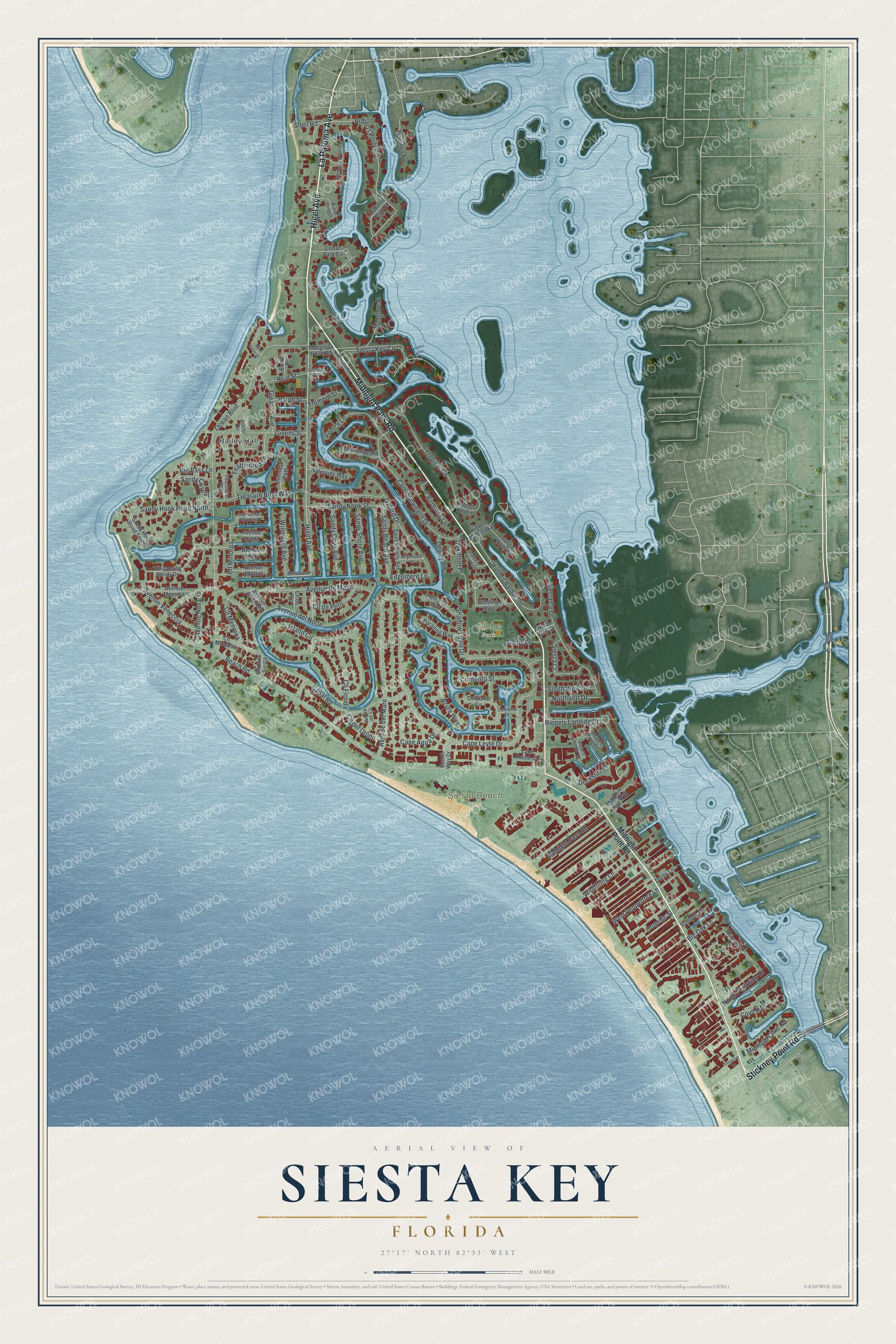
Names on this map
These names are printed on this map.
Places: Bailey Hall, Siesta Beach Park and Glebe Park.
Streets and roads: Midnight Pass Road, Higel Avenue, La Paloma Avenue, Stickney Point Road, Cape Leyte Drive, West Peppertree Lane, Azure Way, Ocean Boulevard, Sandy Beach Avenue, Edgemere Lane, Roberts Point Road, Beach Road.
More street names, A to Z
Avenue de Cortez, Avenue del Mare, Avenue del Norte, Avenue de Mayo, Avenue de Paradisio, Avenue Leona, Avenue Madera, Avenue Messina, Avenue Milano, Avenue Navarra, Avenue Veneccia, Banan Place, Beach Way Drive, Big Oak Lane, Big Pass Lane, Birdsong Lane, Bochi Circle, Canal Road, Cape Aqua Drive, Cedar Park Circle, Cll de la Siesta, Cll del Otono, Cll del Verano, Cll de Peru, Cll de Rio, Cll Florida, Cll Menorca, Cll Minorga, Cll Miramar, Commonwealth Drive, Commonwealth Lane, Contento Circle, Contento Drive, Contento Street, Coquille Street, Cove II Place, Derby Lane, Dewey Place, Dockside Place, Dolphin Bay Way, Featherbed Lane, Flamingo Avenue, Givens Street, Gleason Avenue, Glebe Lane, Hamilton Club Circle, Hidden Harbor Road, Hidden Harbor Way, Idlewild Way, Island Circle, Jungle Plum Road, Lake House Circle, Little Pond Lane, Lotus Lane, Mangrove Place, Mangrove Point Road, Midnight Cove Road, Midnight Point Road, Moonmist Drive, Northport Drive, North Portofino Drive, North View Drive, Oakmont Place, Oxford Drive, Paradise Way, Peaceable Way, Plymouth Street, Primrose Path, Ralph Street, Reid Street, Riegel's Harbor Road, Riegel's Point Road, Riegels Landing Drive, Roberts Bay Lane, Roberts Point Circle, Saint Albans Avenue, Sand Dollar Lane, Sandy Cove Avenue, Sandy Cove Road, Sandy Hook Road North, Sandy Hook Road South, Sandy Nook Street, Sandy Shore Avenue, Seagrove Lane, Shadow Lawn Drive, Shell Road, Siesta Court, Siesta Cv Drive, Siesta Key Circle, Siesta Woods Drive, Solitude Lane, Somerset Drive, South View Drive, Treasure Boat Way, Tremont Street, Tropical Circle, Venice Lane, Waterside Way, Whispering Sands Drive, Winding Way, Windsong Lane, Windward Avenue, Windward Place, Woodside Road.
See it on a wall
The Siesta Key map as a framed print. Swipe for more.


This beautifully detailed map of Siesta Key makes an attractive addition to your office, library, or den, and it can even be used to teach children the geography and history of the area. It also makes a great gift for anyone who grew up in Siesta Key or moved away. When you’re done exploring, click here to get your copy of the Siesta Key map.