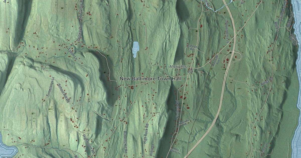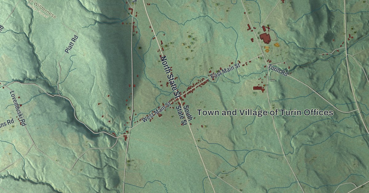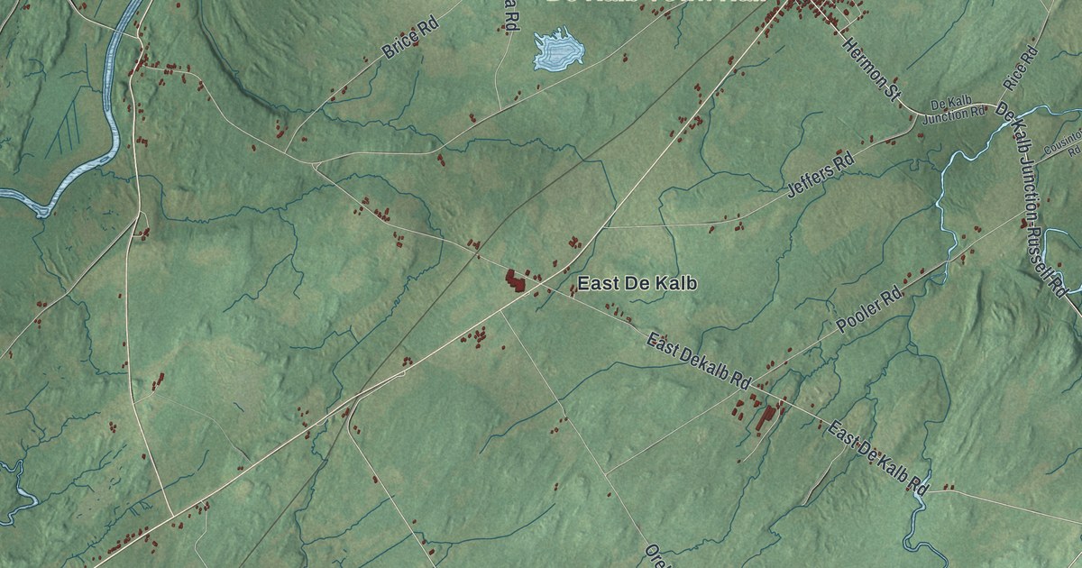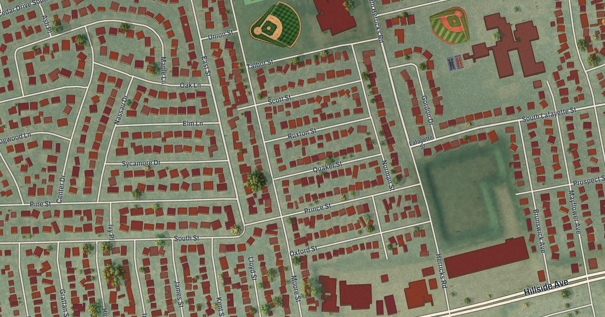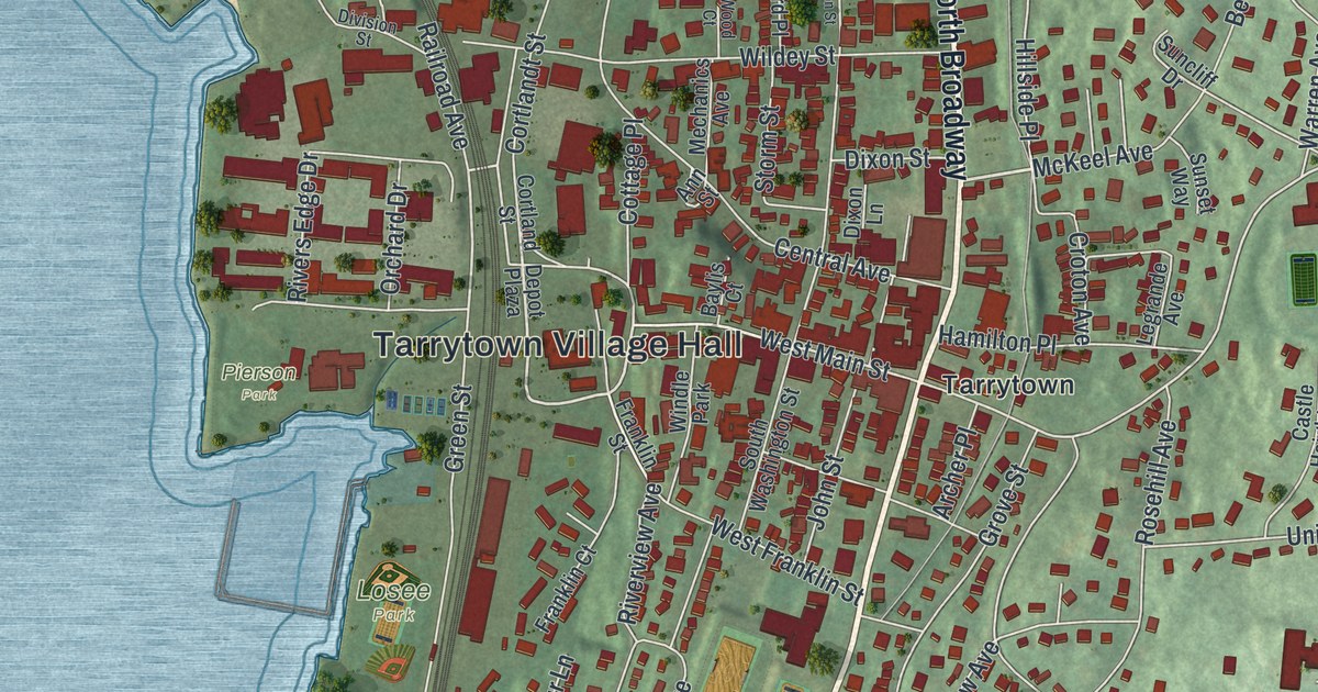
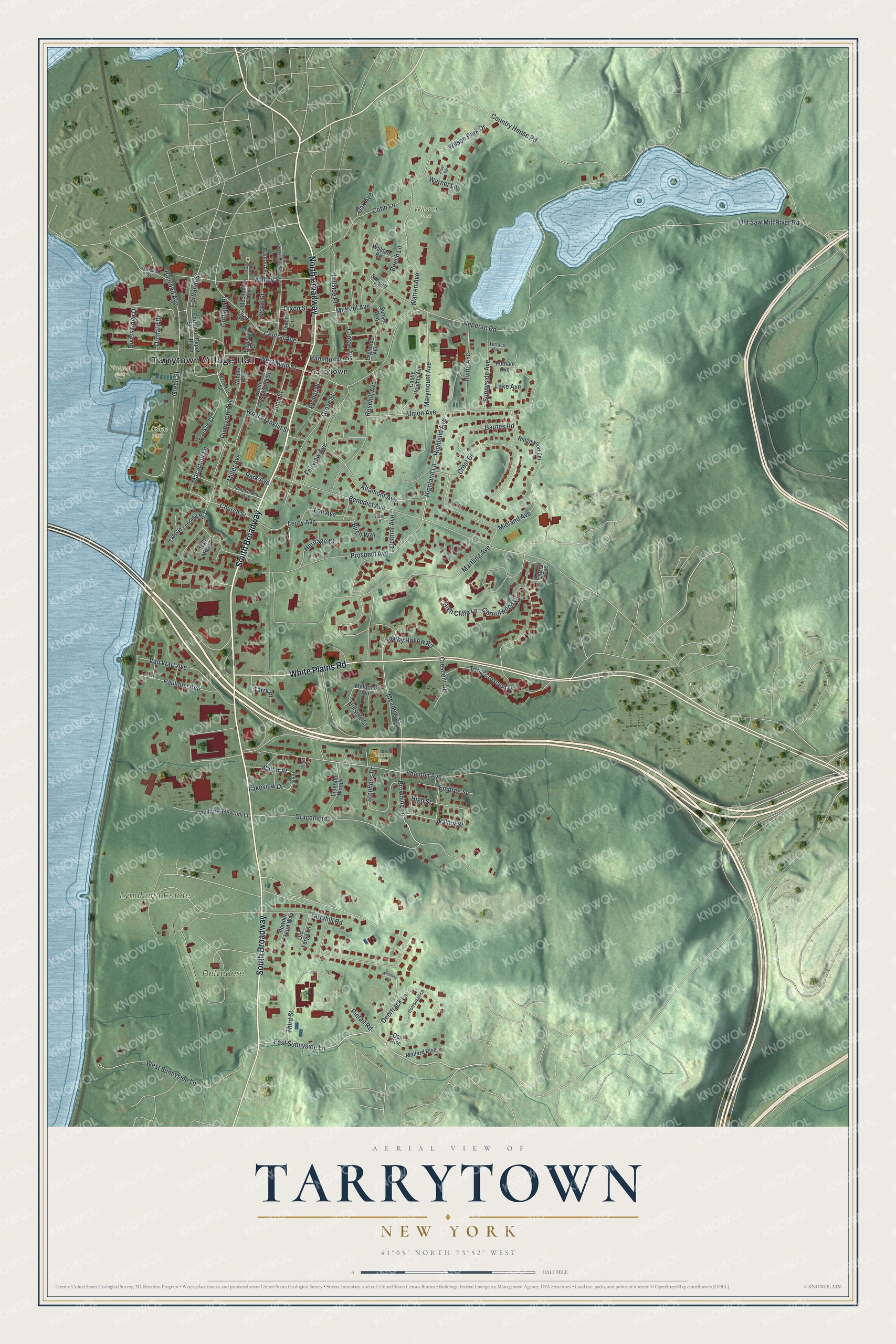
This beautifully detailed map of Tarrytown, New York was created in 2026 using aerial imagery combined with modern topographical, census, street and landmark data. It’s a one-of-a-kind view of Tarrytown that combines accurate data with a vintage aesthetic. The map shows every building in its true location, many of the roads carry their names, and the shaded topographic relief shows the shape of the land.
Explore an aerial view of Tarrytown, New York
On the map you’ll find Tarrytown Village Hall, South Broadway, North Broadway, Pierson Park, Wilson Park, and Losee Park, along with White Plains Road, Sunnyside Lane, and more. If you look closely you can even find your house accurately drawn in its correct location. Zoom in on the preview to look for yours.
Did You Know?
In 1780, three local militiamen stopped British Major John Andre on the Albany Post Road in Tarrytown. David Williams, John Paulding and Isaac Van Wart found suspicious papers in his boot. The papers exposed the plans of Benedict Arnold, who had switched sides. Andre was convicted as a spy and hanged.
Take a closer look at the Tarrytown map
Names on this map
These names are printed on this map.
Places: Tarrytown Village Hall, Belvedere, Lyndhurst Estate, Pierson Park, Wilson Park, Losee Park, Lagana Field, Tarrytown and Windle Park.
Streets and roads: South Broadway, North Broadway, White Plains Road, East Sunnyside Lane, Cortlandt Street, Walnut Street, Meadow Street, Railroad Avenue, Gracemere, Loh Avenue, Browning Lane, West Main Street.
More street names, A to Z
Altamont Avenue, Ann Street, Archer Place, Barnes Road, Baylis Court, Beech Lane, Benedict Avenue, Birch Way, Carroll Close, Carrollwood Drive, Castle Heights Avenue, Central Avenue, Church Street, Cobb Lane, Cortland Street, Cottage Place, Cottontail Lane, Country House Road, Crescent Drive, Crest Drive, Croton Avenue, Croton Place, Deertrack Lane, Depot Plaza, Detmer Avenue, Division Street, Dixon Lane, Dixon Street, Doris Lane, Embree Street, Emerald Woods, Fairview Avenue, Franklin Court, Franklin Street, Green Street, Grove Street, Half Moon Lane, Hamilton Place, Hanford Place, Heritage Court, High Cliffe Lane, Highland Avenue, Highland Lane, High Street, Hillside Place, Hillside Street, Independence Avenue, Irving Avenue, John Street, Lake Avenue, Lakeview Drive, Legrande Avenue, Leroy Avenue, Lyndhurst Museum Lane, Macarthur Lane, Mallard Rise, Martling Avenue, Marymount Avenue, McKeel Avenue, Mechanics Avenue, Midland Avenue, Millbrook Avenue, Miller Avenue, Neperan Road, North Washington Street, Oak Avenue, Oak Rise, Old Forge Lane, Old Saw Mill River Road, Orchard Drive, Park Avenue, Paulding Avenue, Pintail Road, Powder Horn Way, Prospect Avenue, Putnam Avenue, Ridgewood Terrace, Rivers Edge Drive, River Terrace, Riverview Avenue, Rosehill Avenue, Sheldon Avenue, Short Street, Sleepy Hollow Road, South Washington Street, Stephens Drive, Storm Street, Suncliff Drive, Sunnyside Avenue, Sunset Way, Tappan Landing Road, Tarry Crescent Drive, Tarryhill Road, Tarry Place, Terrace Avenue, Third Street, Union Avenue, Van Wart Avenue, Walden Road, Walter Street, Warner Lane, Warren Avenue, West Franklin Street, West Sunnyside Lane, Whitetail Road, Wildey Street, Wilson Park Drive, Wood Court.
See it on a wall
The Tarrytown map as a framed print. Swipe for more.


This beautifully detailed map of Tarrytown makes an attractive addition to your office, library, or den, and it can even be used to teach children the geography and history of the area. It also makes a great gift for anyone who grew up in Tarrytown or moved away. When you’re done exploring, click here to get your copy of the Tarrytown map.