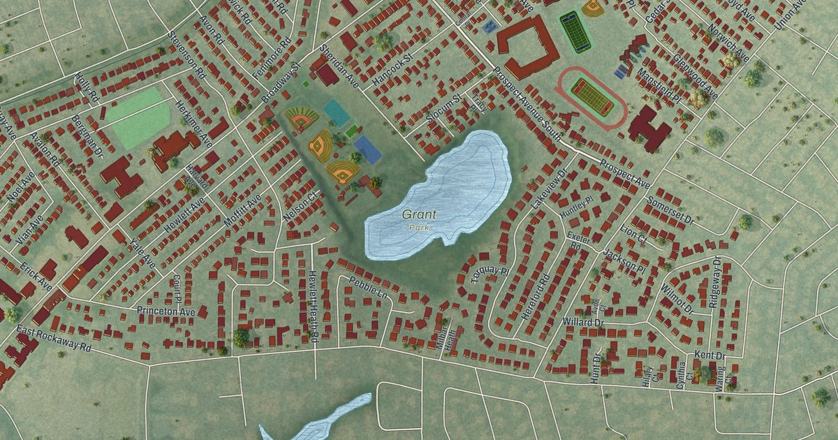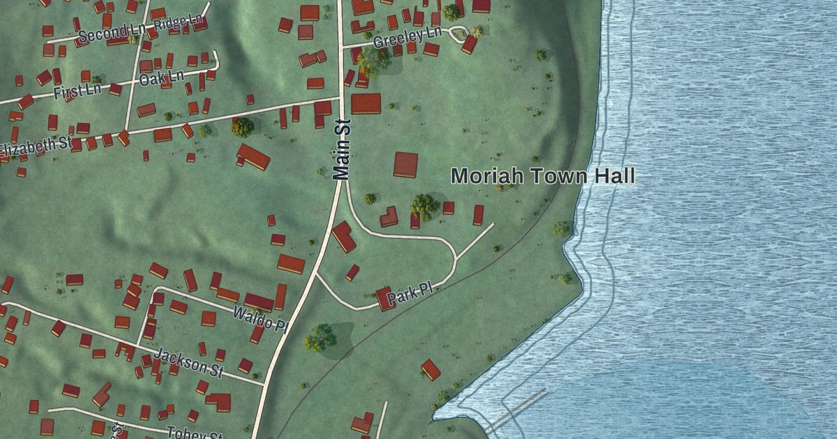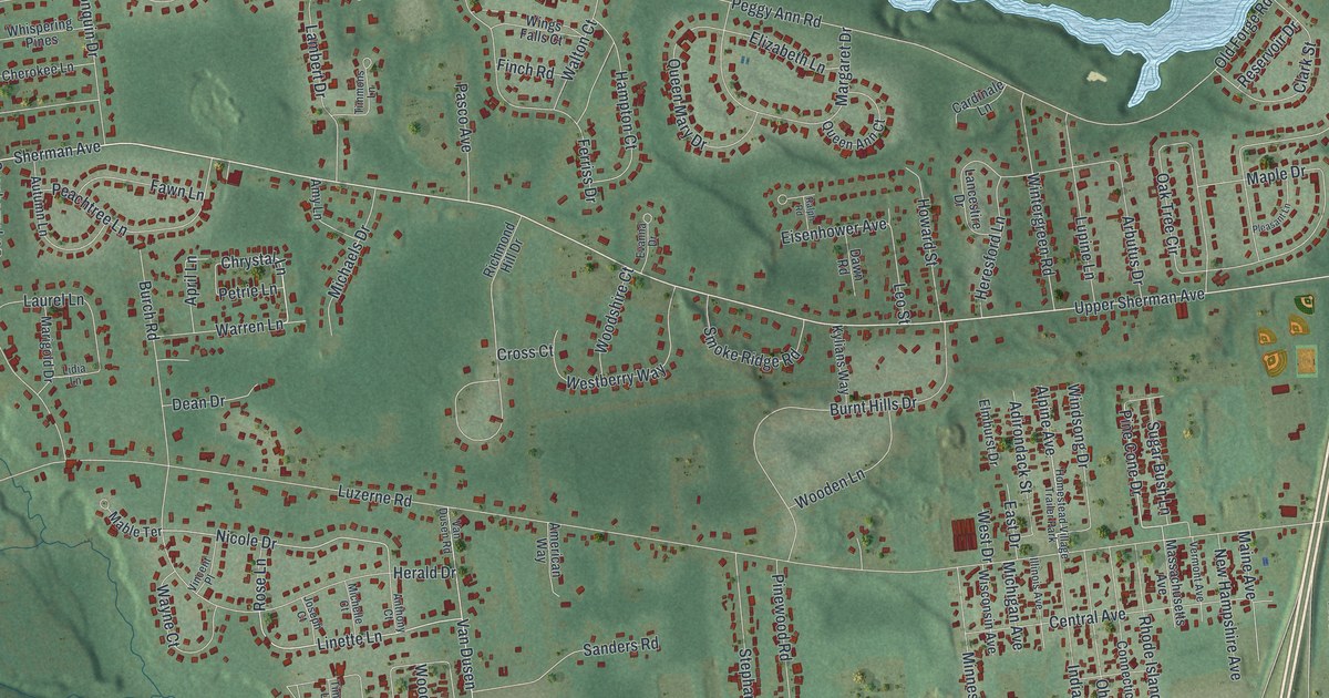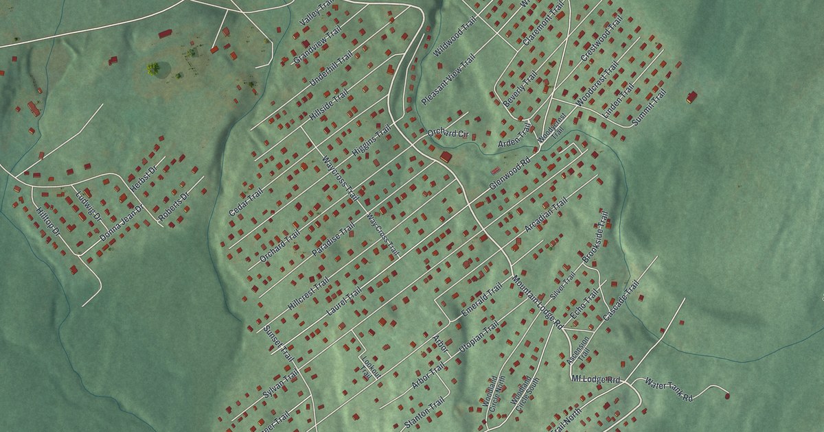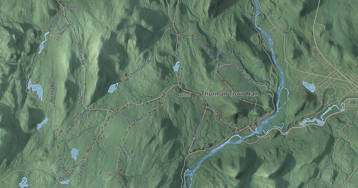
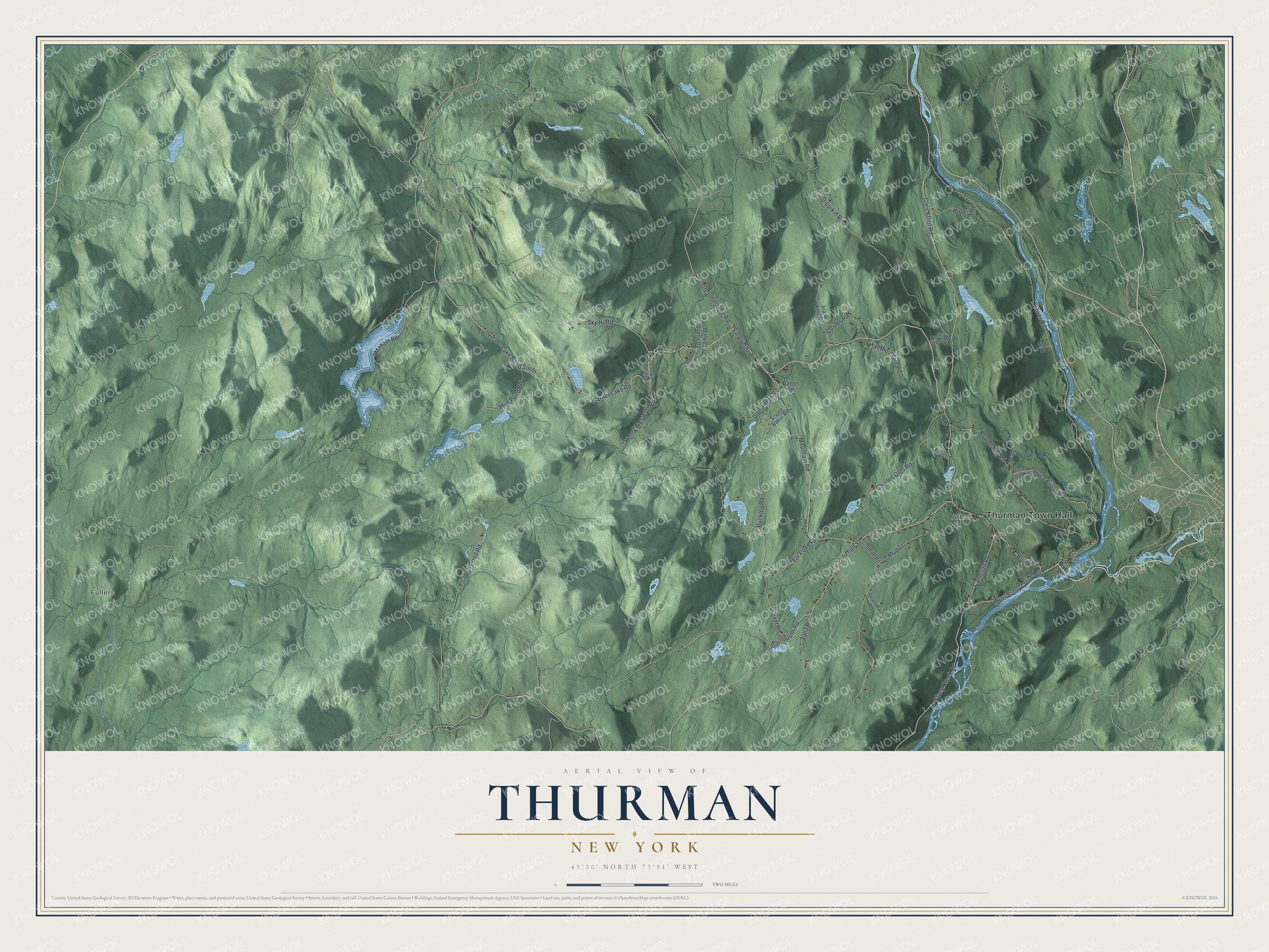
This beautifully detailed map of Thurman, New York was created in 2026 using aerial imagery combined with modern topographical, census, street and landmark data. It’s a one-of-a-kind view of Thurman that combines accurate data with a vintage aesthetic. The map shows every building in its true location, many of the roads carry their names, and the shaded topographic relief shows the shape of the land.
Explore an aerial view of Thurman, New York
On the map you’ll find Thurman Town Hall, Athol, and Fullers, along with River Street, Mountain Road, Garnet Lake Road, Bear Pond Road, and more. If you look closely you can even find your house accurately drawn in its correct location. Zoom in on the preview to look for yours.
Did You Know?
Thurman is named for John Thurman, an investor who helped begin its settlement at Elm Hill in 1790. The first town of Thurman covered over 800 square miles. In 1813 it was split up, and the name disappeared. Lawmakers carved a new Thurman out of Athol in 1853.
Take a closer look at the Thurman map
Names on this map
These names are printed on this map.
Places: Thurman Town Hall, Athol and Fullers.
Streets and roads: Valley Road, Mountain Road, Garnet Lake Road, Garnet Lake Road South, Bear Pond Road, Athol Road, West Stony Creek Road, High Street, Glen Athol Road, Sky Hi Road, Stony Creek Road, Cameron Road.
More street names, A to Z
Barton Road, Bowen Hill Road, Bryce Cross Road, Buckley Road, Buyce Cross Road, Charles Olds Road, Combs Road, Dartmouth Road, Dippikill Road, Don Potter Road, Drexel Road, Elm Drive, Erving Baker Road, Frank King Road, Frost Street, Hall Mountain Road, Heath Road, Henry Westcott Road, Huber Road, Loveland Road, Marble Quarry Road, Maxam Road, Mud Pond Road, Mud Street, Parker Cross Road, River Road, River Street, Shanahan Road, Smith Road, South Johnsburg Road, Strawberry Hill Road, Town Section, Wolf Pond Road, Zaltz Road.
See it on a wall
The Thurman map as a framed print. Swipe for more.


This beautifully detailed map of Thurman makes an attractive addition to your office, library, or den, and it can even be used to teach children the geography and history of the area. It also makes a great gift for anyone with Thurman roots. When you’re done exploring, click here to get your copy of the Thurman map.