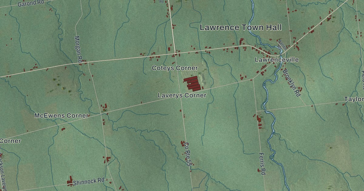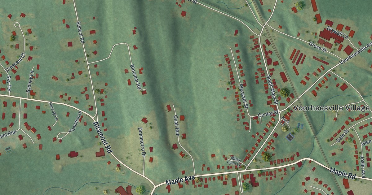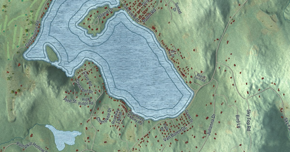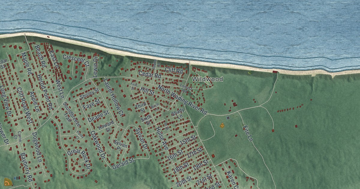
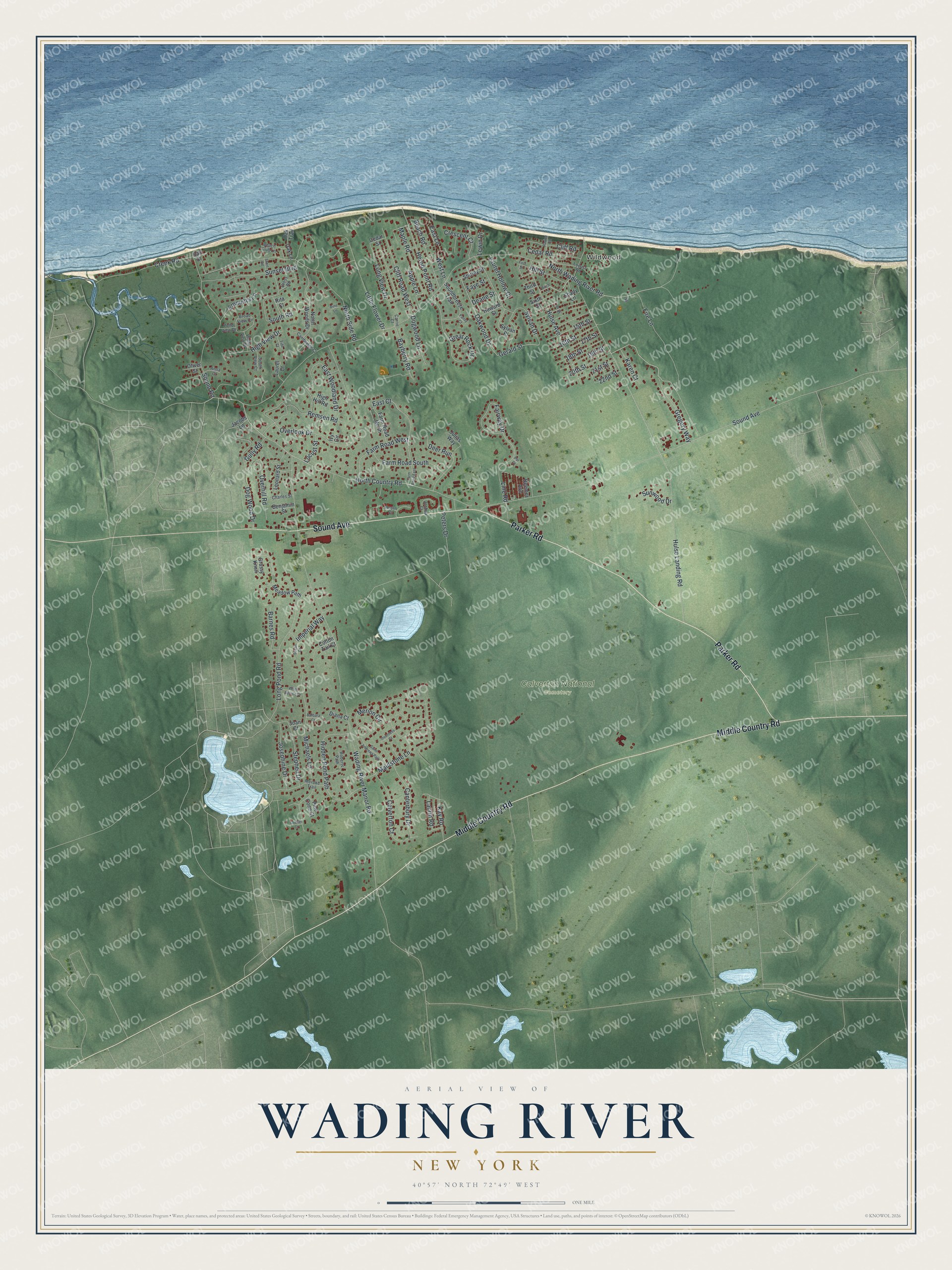
This beautifully detailed map of Wading River, New York was created in 2026 using aerial imagery combined with modern topographical, census, street and landmark data. It’s a one-of-a-kind view of Wading River that combines accurate data with a vintage aesthetic. The map shows every building in its true location, many of the roads carry their names, and the shaded topographic relief shows the shape of the land.
Explore an aerial view of Wading River, New York
On the map you’ll find Wildwood and Calverton National Cemetery, along with Middle Country Road, Parker Road, Sound Avenue, Wading River Road, Fire Lane, and more. If you look closely you can even find your house accurately drawn in its correct location. Zoom in on the preview to look for yours.
Did You Know?
Wading River’s name came from Pauquaconsuk, the Algonquian word for this area. It meant the place where people waded for thick, round-shelled clams. The first English colonists turned it into Wading River. Eight colonial families founded that early settlement.
Take a closer look at the Wading River map
Names on this map
These names are printed on this map.
Places: Wildwood and Calverton National Cemetery.
Streets and roads: Middle Country Road, Parker Road, Sound Avenue, North Wading River Road, Fire Lane, Apple Lane, East Court, Oakwood Drive, Gerald Street, East Lane, Bayberry Road, Wading River Manor Road.
More street names, A to Z
9 Street, 15th Street, 16th Street, 17th Street, 18th Street, 19th Street, 20th Street, 21st Street, 22nd Street, Acorn Court, Anna Court, Barbara Court, Barnes Road, Beach Club Lane, Beach Road, Beemer Avenue, Benjamin Street, Birch Lane, Broad View Circle, Calverton Court, Cambridge Court, Canterbury Drive, Carrie Court, Cedar Road, Cedar Street, Charles Street, Cliff Road, Cliff Road West, Cotton Tail Court, Creek Road, Crescent Court, Cricket Court, Cross Road, Deane Street, Deer Run, Diana Court, Dog Wood Drive, Dogwood Lane, East Woodland Drive, Emmetts Lane, Fairway Drive, Farm Road East, Farm Road North, Farm Road South, Farm Road West, Faye Street, First Street, Grassy Knoll, Great Rock Drive, Gregory Way, Gully Road, Herod Point Road, Hidden Pond Path, High Hill Road, High View Drive, Hill Street, Howard Street, Hulse Avenue, Hulse Landing Road, Imperial Way, Inverness Court, Ivy Circle, Jacobs Lane, Joan Court, Josephine Drive, Joshua Court, Julias Way, Karen Court, Kay Road, Laurel Court, Laurel Hollow Court, Laurin Road, Leonard Street, Lewin Drive, Line Road, Little Flower Drive, Locust Road, Locust Street, Long Pond Road, Long View Drive, Maidstone Lane, Maple Road, Meadow Path, Merion Circle, Meroke Trail, Michaels Lane, North Country Road, North Side Road, North Woods Drive, Oak Lane, Oak Street, Oak Trail, Oliver Street, Overhill Road, Overlook Drive, Pansy Court, Par Court, Peters Drive, Pine Cone Court, Pine Lane, Plain View Drive, Pond View Drive, Ravine Road, Remsen Road, Rita Court, Roberts Path, Saint Andrews Path, Shady Lane, Shirley Street, Short Road, Sixth Street, Soundbreeze Trail, Sound Road, South Road, South View Court, Stephen Drive, Sunset Boulevard, Sunwood Drive, Susan Drive, Sylvan Drive, Sylvan Place, Third Street, Tide Court, West Lane, White Spruce Drive.
See it on a wall
The Wading River map as a framed print. Swipe for more.


This beautifully detailed map of Wading River makes an attractive addition to your office, library, or den, and it can even be used to teach children the geography and history of the area. It also makes a great gift for someone who left Wading River and still calls it home. When you’re done exploring, click here to get your copy of the Wading River map.