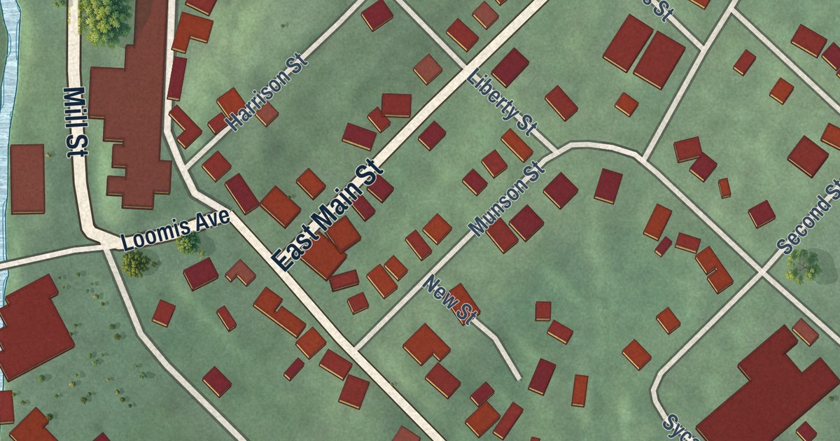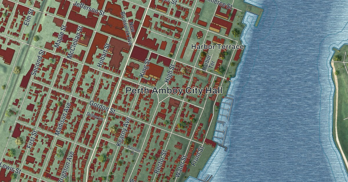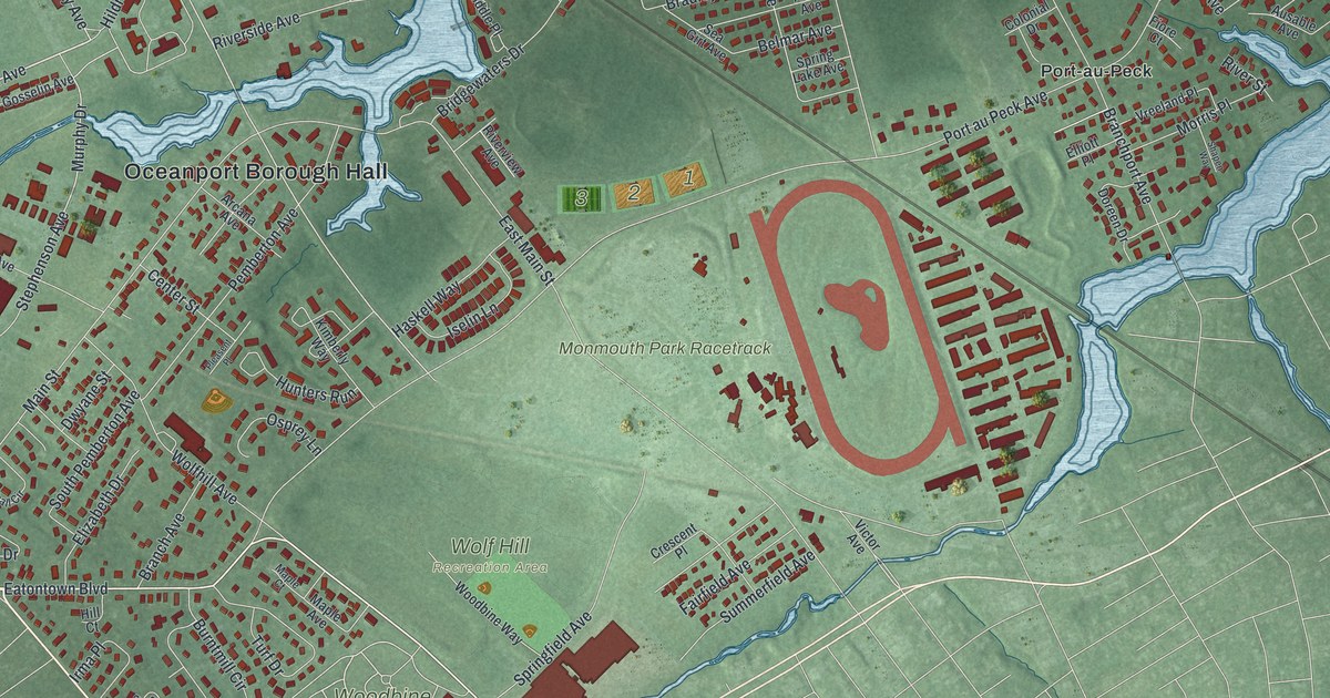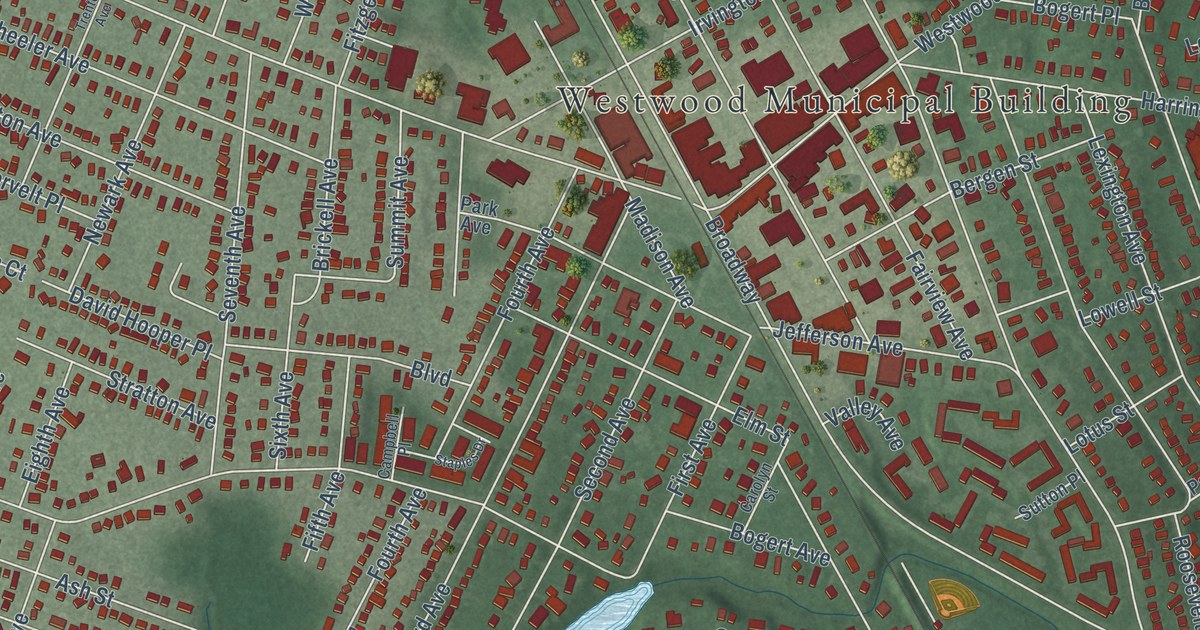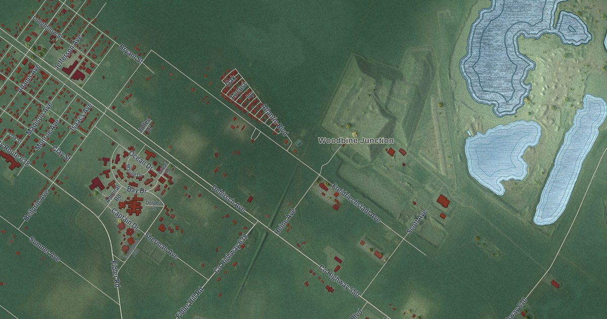
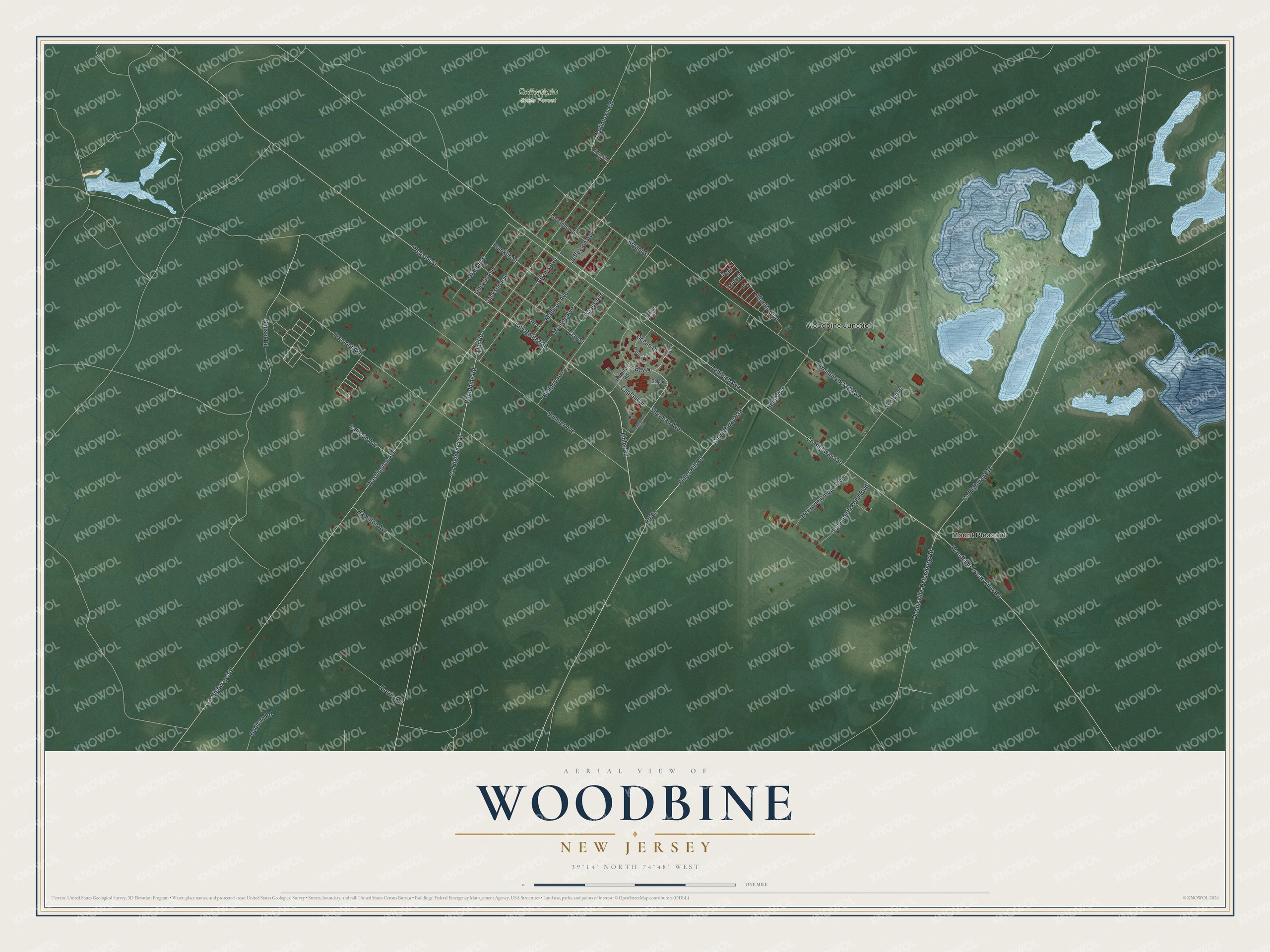
This beautifully detailed map of Woodbine, New Jersey was created in 2026 using aerial imagery combined with modern topographical, census, street and landmark data. It’s a one-of-a-kind view of Woodbine that combines accurate data with a vintage aesthetic. The map shows every building in its true location, many of the roads carry their names, and the shaded topographic relief shows the shape of the land.
Explore an aerial view of Woodbine, New Jersey
On the map you’ll find Mount Pleasant, Woodbine Junction, and Belleplain State Forest, along with Bay Drive, Dehirsch Avenue, Woodbine Ocean View Road, Webster Street, Bryant Street, and more. If you look closely you can even find your house accurately drawn in its correct location. Zoom in on the preview to look for yours.
Did You Know?
Woodbine began in 1891 as a home for Jewish immigrants from Poland and Russia. The Baron de Hirsch Fund bought 5,300 acres of forest for the colony. Within two years the settlers had cleared the woods and built thriving farms. Agriculturist Hirsch Loeb Sabsovich helped make it a model farming community.
Take a closer look at the Woodbine map
Names on this map
These names are printed on this map.
Places: Mount Pleasant, Woodbine Junction and Belleplain State Forest.
Streets and roads: Bay Drive, County Highway 638, Rt660, Dehirsch Avenue, Woodbine Ocean View Road, Webster Street, City Route 638, Bryant Street, County Highway 550, County Highway 557, Washington Avenue, County Highway 611.
More street names, A to Z
Adams Avenue, Admiral Road, Atlantic Boulevard, Calhoun Avenue, Captain Drive, Clay Street, Commodore Boulevard, County Highway 610, Dennisville-Petersburg Road, Dolphin Lane, Dudican Road, Emerson Street, Faintail Road, Fidler Hill Road, Fidler Road, Franklin Street, Freidriechstadt Avenue, Fremont Avenue, Grant Avenue, Hamilton Avenue, Heilprin Avenue, Heine Avenue, Henry de Cinque Boulevard, Isaacs Avenue, Ivy, Jackson Avenue, Jefferson Avenue, Joffee Drive, John South Penn Boulevard, Lincoln Avenue, Locust, Longfellow Street, Madison Avenue, Marine Drive, Martintown Road, Monroe Avenue, Morris Avenue, Oak, Oak Street, Ocean Drive, Scott Avenue, Sherman Avenue, Sumner Avenue, Sunset Road, Tyler Road, Woodbine Road.
See it on a wall
The Woodbine map as an 18 x 24 inch print in a black frame.

This beautifully detailed map of Woodbine makes an attractive addition to your office, library, or den, and it can even be used to teach children the geography and history of the area. It also makes a great gift for anyone with Woodbine roots. When you’re done exploring, click here to get your copy of the Woodbine map.