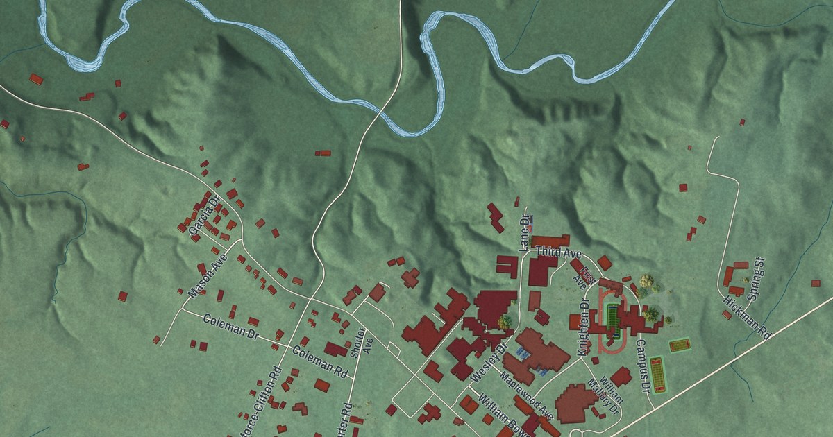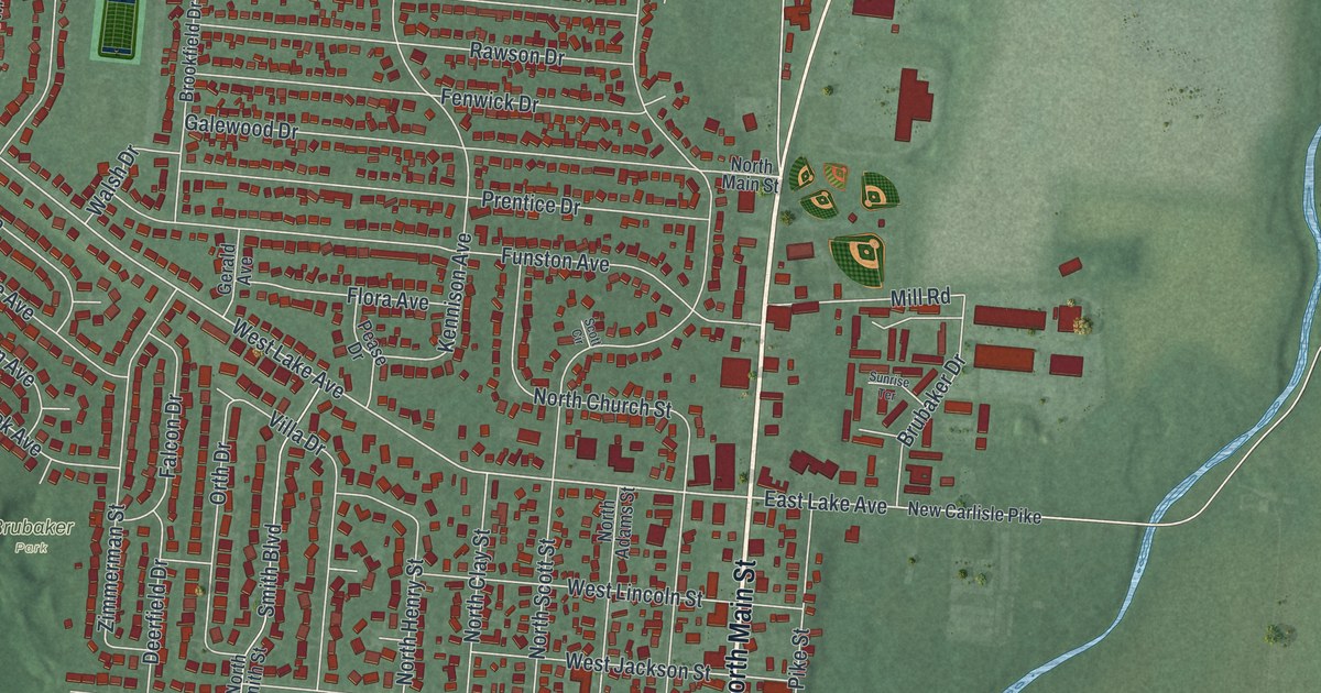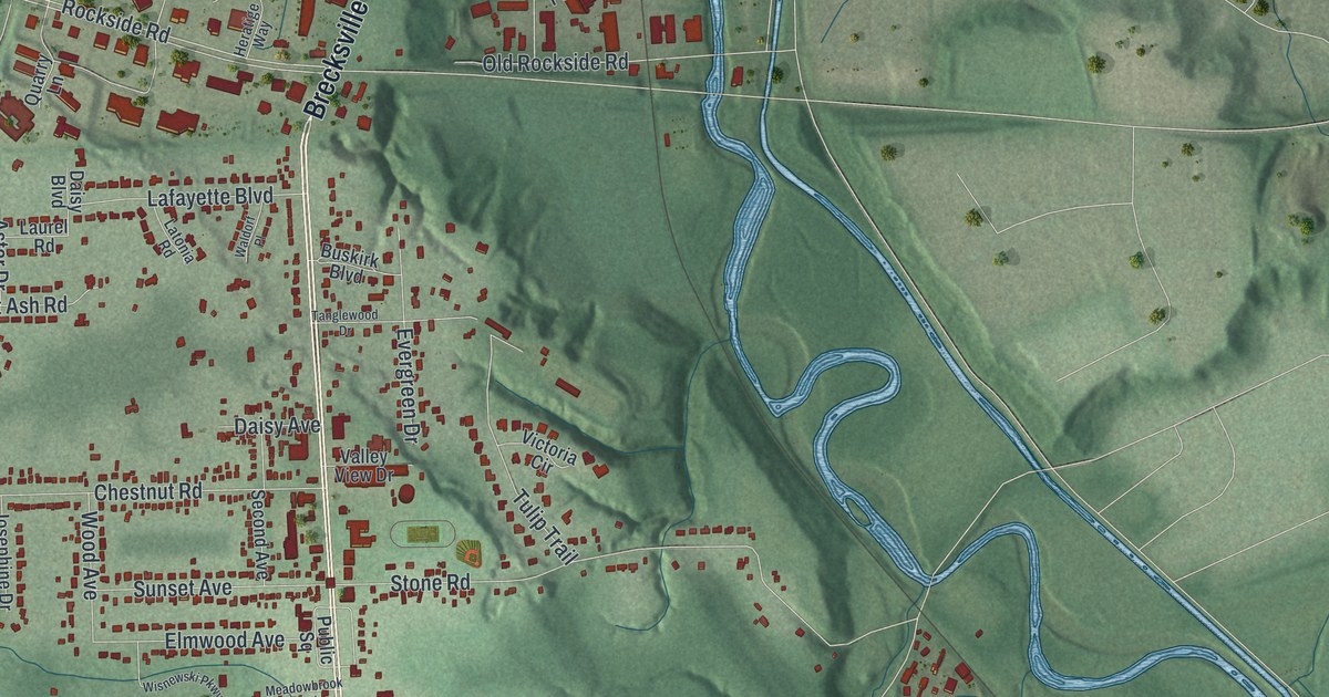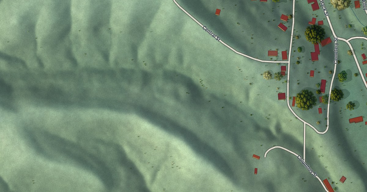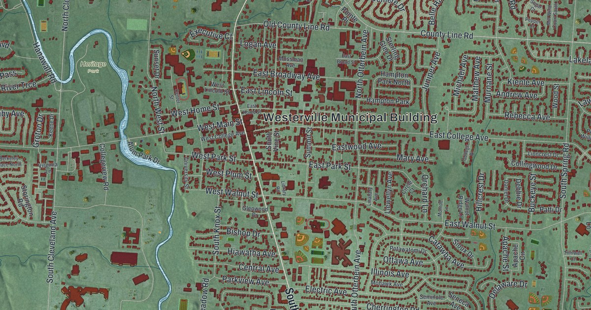
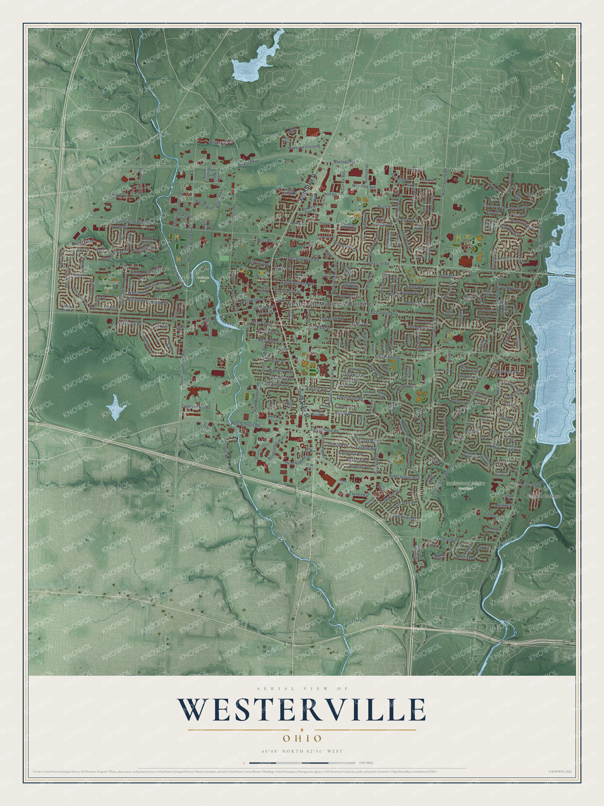
This beautifully detailed map of Westerville, Ohio was created in 2026 using aerial imagery combined with modern topographical, census, street and landmark data. It’s a one-of-a-kind view of Westerville that combines accurate data with a vintage aesthetic. The map shows every building in its true location, many of the roads carry their names, and the shaded topographic relief shows the shape of the land.
Explore an aerial view of Westerville, Ohio
On the map you’ll find Westerville Municipal Building, Central College, Heritage Park, Hoff Woods Park, Inniswood Metro Gardens, and Metzger Park, along with North State Street, South State Street, County Line Road, Barrington Drive, North Cleveland Avenue, South Cleveland Avenue, and more. If you look closely you can even find your house accurately drawn in its correct location. Zoom in on the preview to look for yours.
Did you know this piece of Westerville, Ohio history?
Westerville banned alcohol sales by ordinance in 1859. When businessman Henry Corbin opened a saloon in 1875, townspeople blew it up with gunpowder. He tried once more in 1879, and the same thing happened. In 1909 the national Anti-Saloon League made the town its headquarters.
Take a closer look at the Westerville map
Street and place names on the Westerville, Ohio map
These names are printed on the map of Westerville, Ohio.
Places: Westerville Municipal Building, Central College, Heritage Park, Hoff Woods Park, Inniswood Metro Gardens, Metzger Park and Hampton Park.
Streets and roads: North State Street, South State Street, County Line Road, Barrington Drive, North Cleveland Avenue, South Cleveland Avenue, Worthington Road, North Sunbury Road, Hooverview Drive, Southbluff Drive, Ashford Drive, Polaris Parkway.
More street names, A to Z
Africa Road, Albion Place, Alkyre Run Drive, Allview Road, Altair Parkway, Alum Park Drive, Andrew Avenue, Apache Circle, Apache Street, Arcadia Boulevard, Ashbrooke Drive, Ashton Village Drive, Autumn Creek Circle, Autumn Woods Drive, Baker Lake Drive, Baranof West, Barcelona Avenue, Bay Drive, Bellefield Avenue, Belle Haven Parkway, Belle Meade Place, Bellfrey Drive, Bering Court, Berkeley Place North, Bigham Ridge Boulevard, Big Rock Drive, Birch Street, Bishop Drive, Bitternut Lane, Blue Heron Drive, Blue Sail Drive, Bombay Avenue, Brisbane Avenue, Brook Run Drive, Brooksedge Boulevard, Brooksedge Plaza Drive, Bryan Drive, Buckeye Street, Burns Drive, Castile Lane, Catawba Avenue, Centerpark Drive, Center Street, Central Avenue, Central College Road, Ceramic Place, Chatham Ridge Road, Chelsea Lane, Cherrington Road, Chestnut Avenue, Circle Court, Clear Water Drive, Club Drive, Cobblestone Avenue, Cogswell Street, College Place, Collegeview Road, Collier Drive, Collingwood Drive, Colony Drive, Colston Drive, Commerce Park Drive, Cooper Road, Copeland Mill Road, County Line Road West, Creek Run Court, Cross Wind Drive, Daleview Drive, Daniel Drive, Danvers Avenue, Debbie Drive, Deer Run Court, Deer Trail, Delaware Drive, Dempsey Road, Denman Court, Dogwood Lane, Drakewood Road, East Broad Street, East Broadway Avenue, East College Avenue, East Home Street, East Lincoln Street, East Park Street, East Schrock Road, East Walnut Street, Eastwind Drive, Eastwood Avenue, Egret Court, Elcliff Drive, Electric Avenue, Elm Court, Executive Campus Drive, Executive Court, Fairdale Avenue, Farrington Drive, Forest Glen Road, Forest Rise Drive, Fortunegate Drive, Foxtrail Circle East, Gentlewind Drive, Glacier Pass, Glenacre Drive, Glenwood Drive, Goldsmith Drive, Granby Place West, Grist Run Road, Groton Drive, Gurgun Lane, Hampton Park North, Hanawalt Road, Hanby Avenue, Harbor View Drive, Heatherdown Drive, Hepplewhite Street, Hiawatha Avenue, Hideaway Woods Drive, High Timber Drive, Hillcrest Drive, Hillsdowne Road, Hoff Road, Huber Village Boulevard, Illinois Avenue, Illinois Court, Inglewood Drive, Inlet Court, Ipswich Street, Ivydale Drive, Juniper Avenue, Keene Drive, Keethler Drive North, Keethler Drive South, Kepler Crossing, Kienle Avenue, King Arthur Boulevard, Knights Way, Lakeland Drive, Lake Point, Landings Loop East, Landings Loop West, Laurel Drive, Lawrence Road, Leacrest Place East, Legacy Drive, Leighway Drive, Liberty Lane, Library Road, Linabary Avenue, Linncrest Drive, Liverpool Place, Llewellyn Avenue, Logan Avenue, Lookout Ridge Drive, Lori Lane, Luke Court, Lyndale Drive, Maebelle Way, Mainsail Drive, Mallway Drive, Marie Lou Drive, Marlene Drive, Mary Avenue, Massey Drive, Matthew Avenue, Maxtown Crossing, Maxtown Road, McCorkle Boulevard, Melinda Drive, Memories Lane, Meridian Way, Michael Avenue, Mill Crossing Drive, Millfield Avenue, Mill Wind Court South, Mill Wind Drive, Mohawk Avenue, Mohican Way, Monroe Lane, Mossman Avenue, Moss Road, Mulberry Way West, Murnane Street, Nature Trail, Nautilus Place, Newfields Lane, Nicole Drive, Northfield Road, North Hempstead Road, North Otterbein Avenue, North Spring Road, North West Street, Oak Hill Drive, Oakwood Lane, Office Parkway, Old Coach Road, Old County Line Road, Olde English Drive, Olde Mill Drive, Olgelbay Drive, Orchard Lane, Ormsbee Avenue, Ottawa Avenue, Park Meadow Road, Parkview Avenue, Patti Drive, Penbrook Street, Pepper Court, Pine View Road, Pointe Place, Pointview Drive, Potawatomi Drive, Prince William Lane, Radcliff Drive, Rebecca Avenue, Red Bluff Lane, River Trce, Saint Thomas Drive, Sea Shell Drive, Seminole Avenue, Seneca Avenue, Shagbark Drive, Sherwood Lane, Sioux Drive, Smoke Burr Drive, South Hempstead Road, South Knox Street, South Otterbein Avenue, South Spring Road, South Street, South Vine Street, Spring Brook Court, Spring Creek Drive, Spring Hollow Lane, Sterling Glen Drive, Stonefield Drive, Storington Road, Sugar Court, Sugar Grove Square, Summit Street, Sunbury Lake Drive, Sunbury Road, Sunset Drive, Tallowwood Drive, Tami Sue Court, Thirlwall Court, Three Forks Drive North, Three Forks Drive South, Tidewater Court, Timberlake Drive, Tradewind Drive, Tree Bend Drive, Tressler Drive, Triesta Place, University Street, Valleyview Drive, Vancouver Drive, Vincent Court, Virginia Lane, Wake Drive, Wallasey Drive, Walnut Ridge Lane, Warwick Drive, Waterton Drive, Watten Lane, Wedgewood Terrace, Westar Boulevard, Westar Crossing, Westbury Woods Court, West College Avenue, Westdale Avenue, Westgreen Lane, West Home Street, West Lincoln Street, West Main Street, West Park Street, West Plum Street, Westray Drive, West Schrock Road, West Walnut Street, Wetherby Lane, Whitney Lane, Windcroft Drive, Windemere Drive, Windemere Place, Winfree Drive, Woodglen Road, Wood Street, Woodview Road, Wyndham Park North.
See the Westerville, Ohio map on a wall
The Westerville map as an 18 x 24 inch print in a black frame.

This beautifully detailed map of Westerville makes an attractive addition to your office, library, or den, and it can even be used to teach children the geography and history of the area. It also makes a great gift for someone who left Westerville and still calls it home. When you’re done exploring, click here to get your copy of the Westerville map.