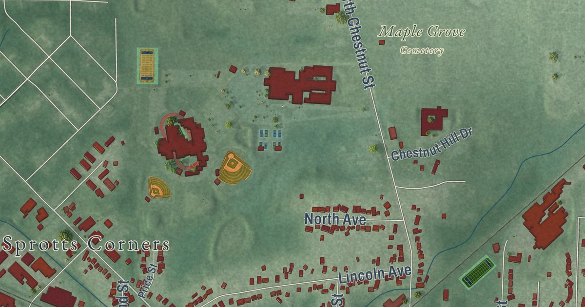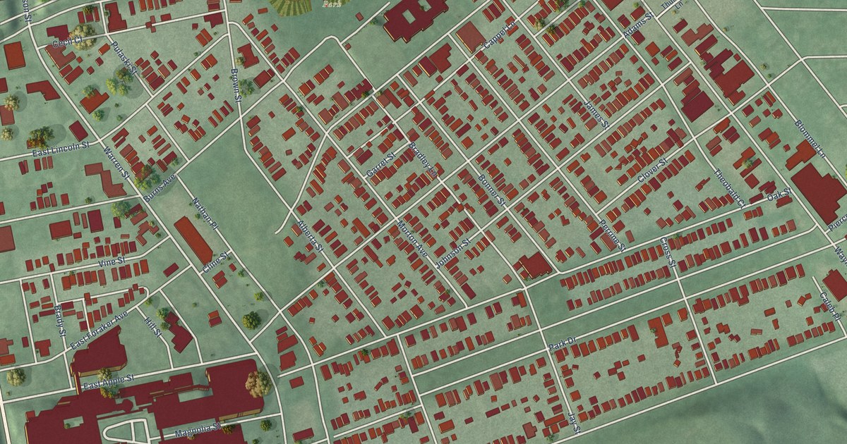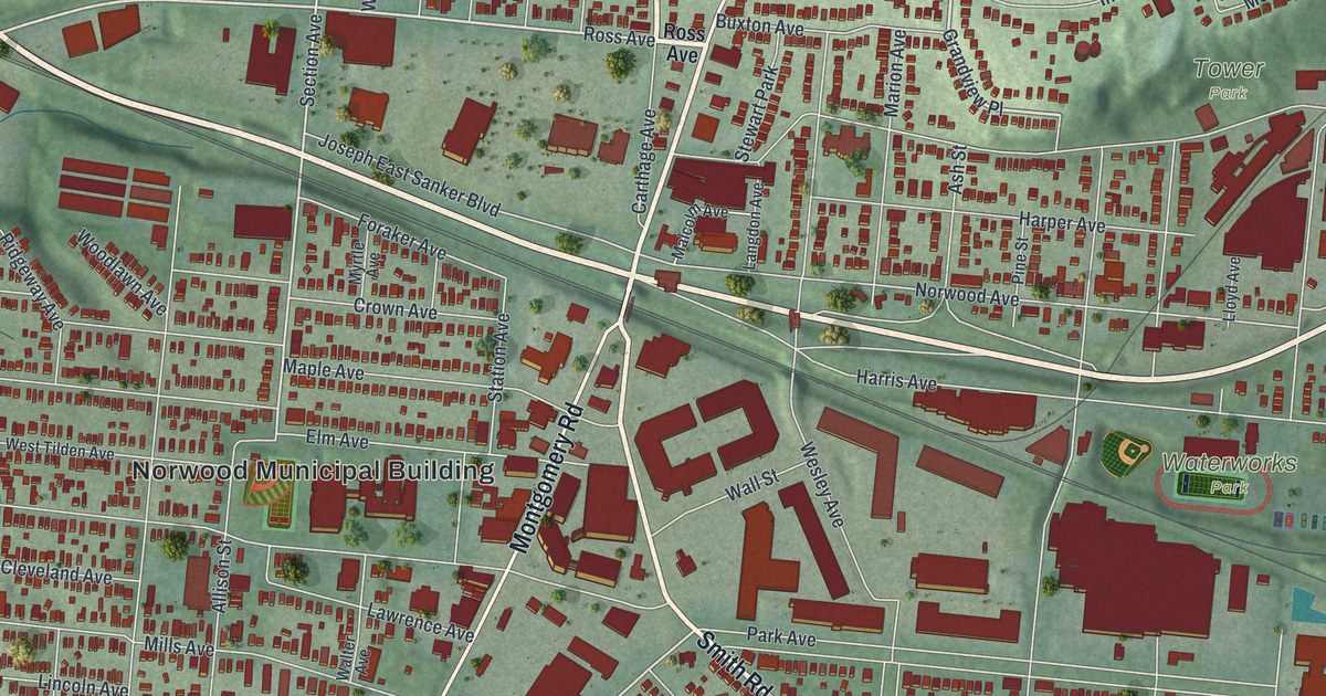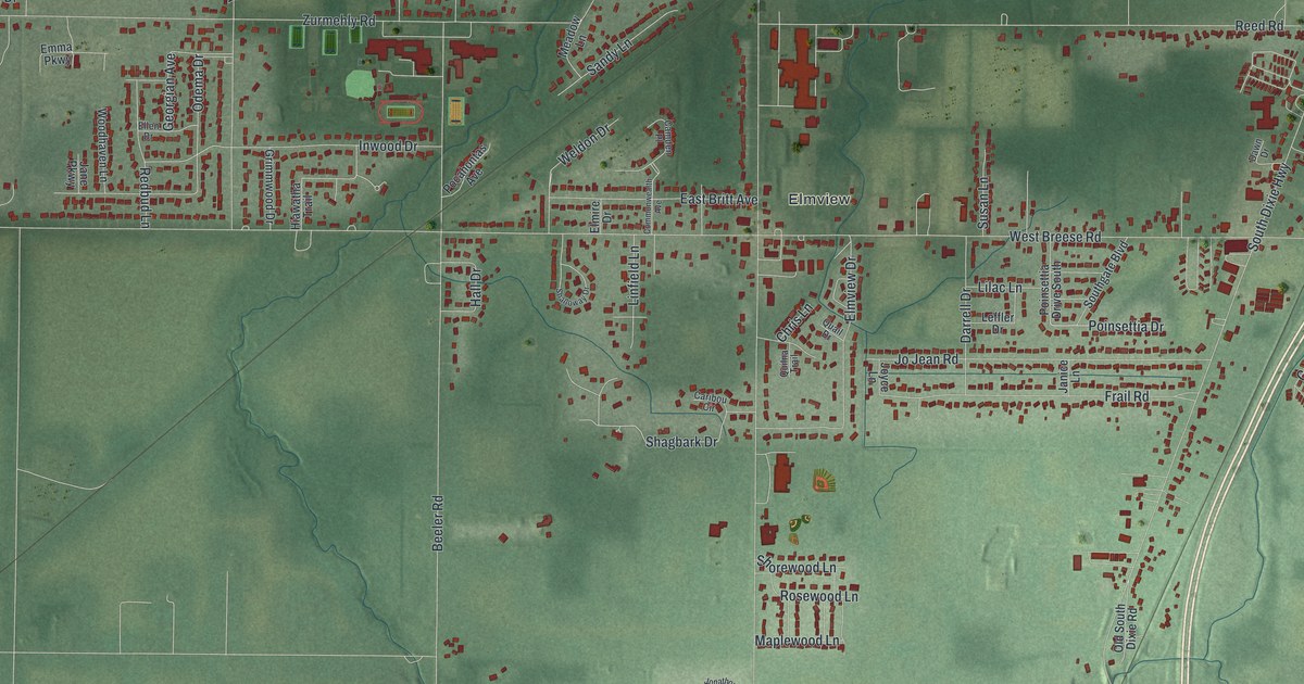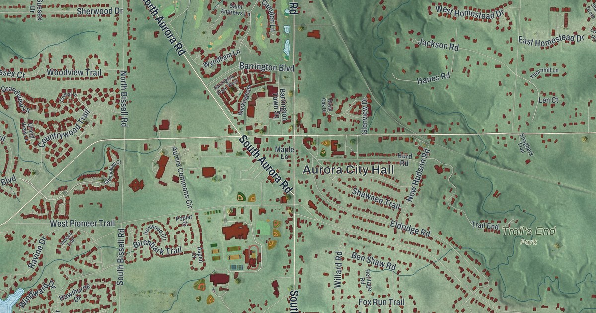
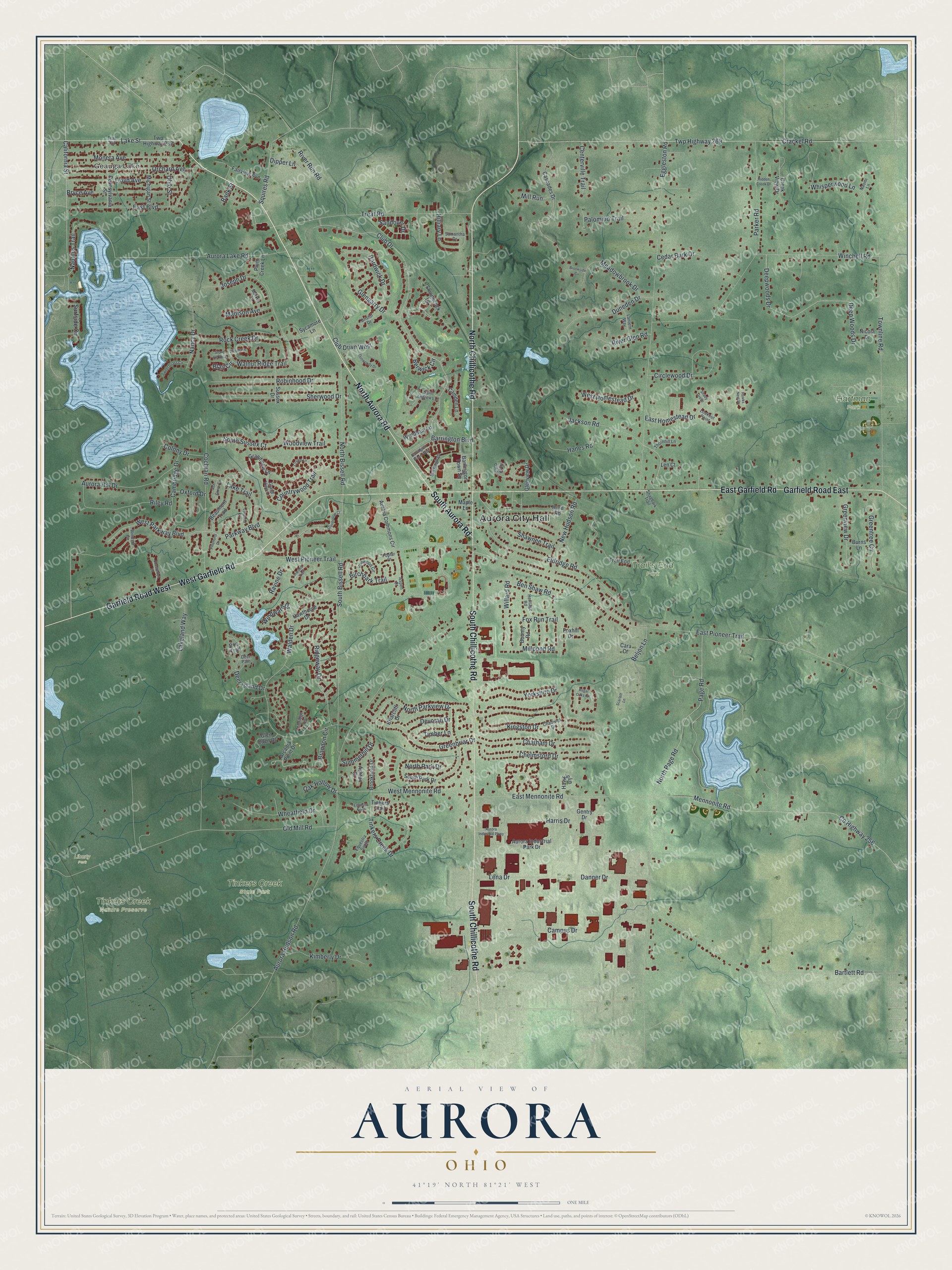
This beautifully detailed map of Aurora, Ohio was created in 2026 using aerial imagery combined with modern topographical, census, street and landmark data. It’s a one-of-a-kind view of Aurora that combines accurate data with a vintage aesthetic. The map shows every building in its true location, many of the roads carry their names, and the shaded topographic relief shows the shape of the land.
Explore an aerial view of Aurora, Ohio
On the map you’ll find Aurora City Hall, Geauga Lake, Hartman Park, Liberty Park, Tinkers Creek State Park, Tinkers Creek Nature Preserve, and Trail’s End Park, along with North Aurora Road, South Aurora Road, North Chillicothe Road, Garfield Road West, West Garfield Road, and more. If you look closely you can even find your house accurately drawn in its correct location. Zoom in on the preview to look for yours.
Did you know this piece of Aurora, Ohio history?
Ebenezer Sheldon, a Revolutionary War veteran, settled in Aurora in 1799 and built a cabin. He then brought his family from Connecticut. By 1904, local factories made four million pounds of cheese, the most in the country. A 1913 flood destroyed the Silver Creek factory, and the industry declined after that.
Take a closer look at the Aurora map
Street and place names on the Aurora, Ohio map
These names are printed on the map of Aurora, Ohio.
Places: Aurora City Hall, Geauga Lake, Hartman Park, Liberty Park, Tinkers Creek State Park, Tinkers Creek Nature Preserve and Trail's End Park.
Streets and roads: North Aurora Road, South Aurora Road, North Chillicothe Road, Garfield Road West, West Garfield Road, South Chillicothe Road, East Garfield Road, Garfield Road East, Parkway Boulevard, Lake Street, Kingston Drive, Club Drive.
More street names, A to Z
Arcadia Point Drive, Ash Grove Circle, Ashton Court, Aspen Court, Aurora Commons Circle, Aurora Hill Drive, Aurora Hudson Road, Aurora Industrial Park Drive, Aurora Industrial Parkway, Aurora Lake Road, Bank Street, Barrington Boulevard, Barrington Place West, Barrington Town Square, Bartlett Road, Beaumont Trail, Beljon Lane, Ben Shaw Road, Berwick Circle, Birchbark Trail, Blair Circle, Bounty Road, Brandon Circle, Briarcliff Drive, Bristol Drive, Brookfield Drive, Brookside Circle, Bryce Avenue, Buckingham, Burns Lane, California Street, Cambridge Drive, Camden Lane, Campus Drive, Cara Court, Cascades Drive, Cedar Bark Drive, Centerville Trail, Chadwick Drive, Chatham Drive, Chelmsford Drive, Chesterton Lane, Circlewood Drive, Claridge Lane, Club Drive West, Cochran Road, Colony Drive, Countrywood Trail, County Highway 256, Crackel Road, Creek View Drive, Crystal Lane, Danner Drive, Deep Woods Drive, Deepwoods Drive, Deer Island Drive, Deer Path, Devorah Drive, Dipper Lane, Doe Trail, Duneden Drive, Dunwoody Drive, East Boulevard, East Homestead Drive, East Mennonite Road, East Pioneer Trail, Eggleston Road, Eldridge Road, Equestra North, Equestra South, Fairview Avenue, Foxhill Drive, Fox Run Trail, Gentry Drive, Glen Eden Court, Glengarry Drive, Glenhollow Court, Glenview Drive, Grandview Lane, Grand View Lane, Greenbriar Drive, Greentree Circle, Greenview Drive, Hanes Road, Hardwick Drive, Harris Drive, Hawkin Lane, Hawks Nest Drive, Hawthorne Drive, Heritage Road, Hidden Creek Drive, Hilliary Lane, Hurd Road, Inwood Trail, Ironwood Circle, Jackson Road, Joseph Drive, Kimberly Drive, Lakeland Way, Lake Trail, Lantern Way, Lena Drive, Len Court, Linwood Lane, Lloyd Avenue, Lookout Point, Madison Avenue, Maple Lane, Markus Lane, Meadowbrook Drive, Mennonite Road, Michigan Street, Millpond Road, Mill Run, Moneta Avenue, Nancy Drive, Naomi Lane, Nautilus Trail, New Hudson Road, Nicola Drive, North Bissell Road, North Page Road, North Park Drive, North Parkview Drive, Oak Hollow Drive, Ohio Street, Old Mill Road, Orchard Avenue, Oxford Drive, Page Road, Palomino Trail, Parker Road, Pennsylvania Street, Pinehurst Drive, Plum Creek Lane, Poplar Court, Ravine Drive, Regal Oaks Circle, Ridgeway Drive, Riley Road, River Glen Road, River Run Road, Robinhood Drive, Rock Creek Drive, Royal Oak Drive, Saint Andrews Lane, Samantha Drive, Sandover Drive, Scarlett Lane, Shady Grove, Shagbark Trail, Shawnee Trail, Sherwood Drive, Shinnecock Lane, South Bissell Road, South Park Drive, South Sussex Court, Squires Road, Stone Hill Oval, Summerhill Drive, Surfside Circle, Sussex Drive, Sweet Grass Circle, Sycamore Lane, Thornhill Lane, Timber Lane, Tinkers Creek Drive, Tinkers Trail, Townline Road, Trail 232, Trail End, Treat Road, Twp Highway 232, Twp Highway 269, Walden Drive, Walnut Ridge Trail, West Homestead Drive, West Mennonite Road, West Parkway Boulevard, West Pioneer Trail, Wheatfield Drive, Whisperwood Lane, Willard Road, Winchell Road, Windsor Circle, Windward Drive, Woodlake Drive, Woodview Trail, Wyndham Lane, Yorkshire Drive.
See the Aurora, Ohio map on a wall
The Aurora map as an 18 x 24 inch print in a black frame.

This beautifully detailed map of Aurora makes an attractive addition to your office, library, or den, and it can even be used to teach children the geography and history of the area. It also makes a great gift for anyone who grew up in Aurora or moved away. When you’re done exploring, click here to get your copy of the Aurora map.