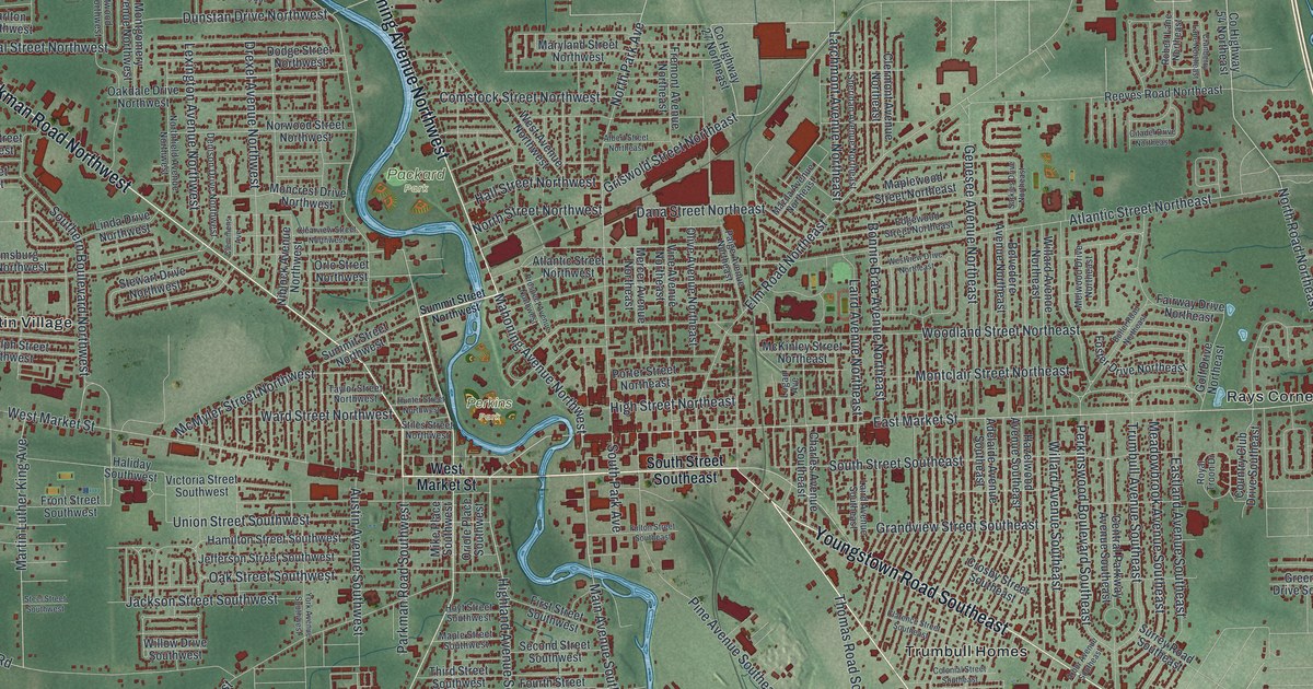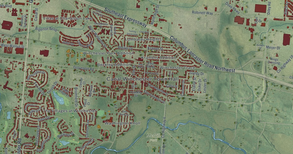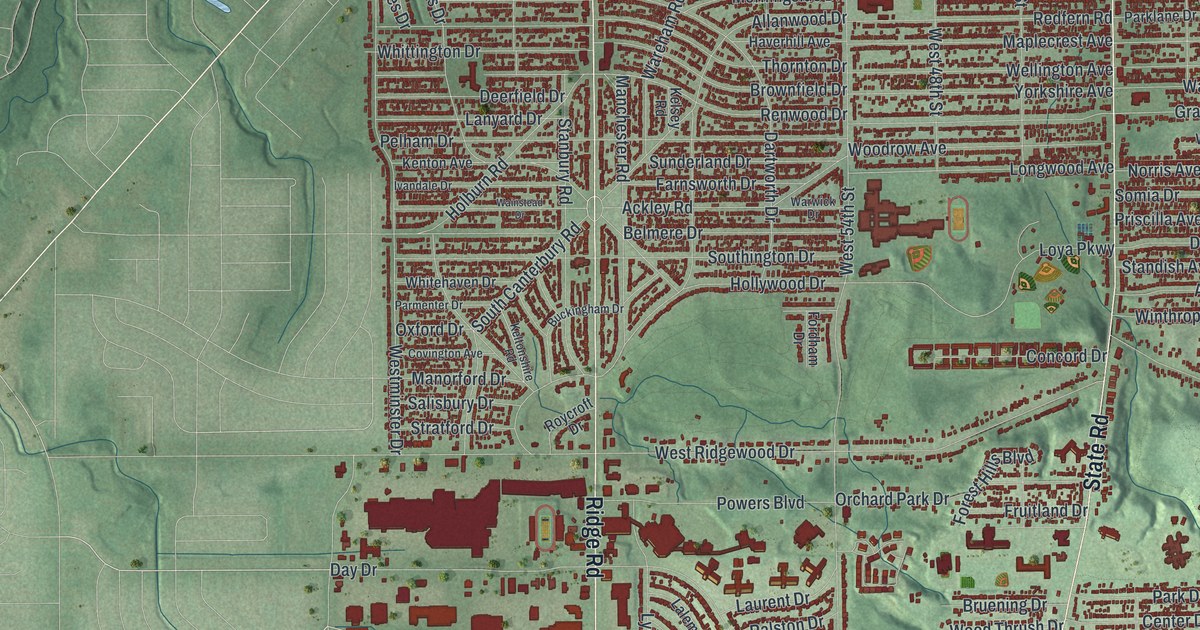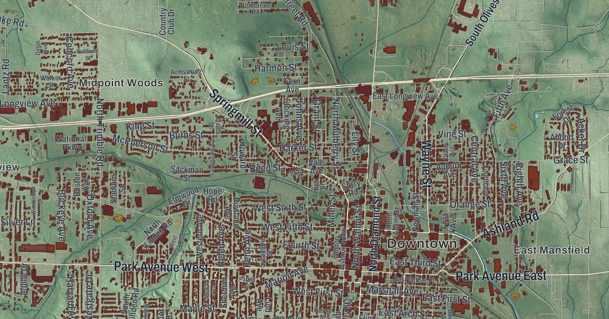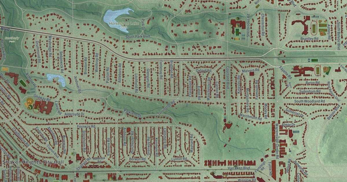
If you grew up in Shaker Heights, raised kids here, or still have family off Shaker Boulevard, this map has a lot for you to find. It's a modern aerial view of Shaker Heights in Cuyahoga County, Ohio, drawn from modern data and given a vintage look. Shaker Boulevard runs west to east across the upper half of the map. Blue lakes sit in a green valley near the top. Below them, dark red buildings line curving streets, ovals and long straight rows.
Horseshoe Lake Park, Shaker Boulevard and Van Aken Boulevard
Start at Horseshoe Lake Park, near the top middle of the sheet. South Park Boulevard runs just below the water. Head south and you'll reach Shaker Boulevard, the long road across the map. Follow it west to Southerly Park. From there, Southington Road drops south into Ludlow, near the left edge of town.
Van Aken Boulevard leaves Shaker Boulevard in the top left and runs on a long slant to the bottom middle. On the way it passes Shaker Heights City Hall. Chagrin Boulevard runs below it, and the two meet near Northfield Road. Warrensville Center Road and Lee Road cross them both from north to south. Up in the top right, Fairmount Boulevard, Shelburne Road and Green Road frame a nest of curving streets around Lyman Circle. Many of the roads are labeled, and each red shape is a building, so zoom in on the preview and look for yours.
How the Shakers made Horseshoe Lake in 1852
In 1822, Ralph Russell started the North Union Shaker Community here. He was a pioneer from Connecticut who'd settled in Warrensville Township ten years before. In 1852, the Shakers built a dam across Doan Brook. The water backed up and made Horseshoe Lake. The brook also ran their woolen mill, near Lee Road and South Park Boulevard. The community broke up in 1889. Its 1,366 acres were later sold to a land company from Buffalo, New York. All of this is told on the Horseshoe Lake marker in the park.
The lake came close to being lost. In the 1960s, a highway called the Clark Freeway was planned through the parklands. Thirty garden clubs, the City of Shaker Heights, the Cleveland Heights PTA Council and the Shaker Historical Society fought it. Mary Elizabeth Croxton of The Village Garden Club led the committee that won. Governor James Rhodes dropped the plans in 1970. Nine women started that garden club in 1930. Its members have planted flowering trees at Horseshoe Lake Park ever since, stopping only during World War II. Their grove is on the north side of South Park Boulevard, in the green strip below the lake.
For anyone who knows Shaker Boulevard and Horseshoe Lake
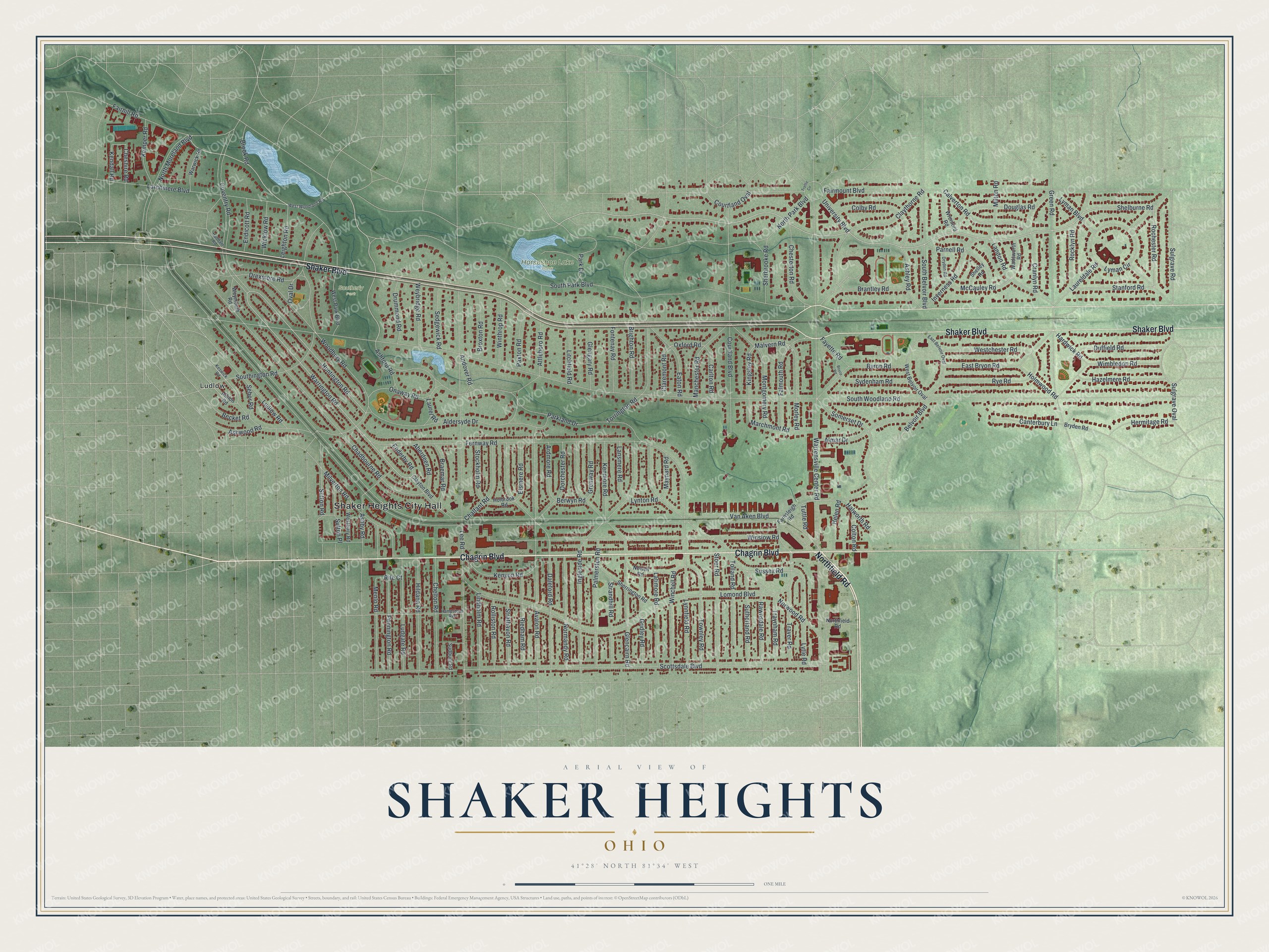
Created by KNOWOL in 2026, this map of Shaker Heights shades the ground from USGS elevation data, so the green valley around the lakes stands out. The streets come from Census Bureau records. About 28,300 buildings are drawn in dark red. The title panel says "Aerial View of Shaker Heights, Ohio," with 41°28' North, 81°34' West and a one-mile scale bar.
It fits a living room, a study or a front hall. It's a thoughtful gift for someone who grew up near Horseshoe Lake and moved away, or for a family that's lived off Van Aken Boulevard for years. Open the preview, follow Shaker Boulevard and find your street. See sizes and frames for the Shaker Heights map.