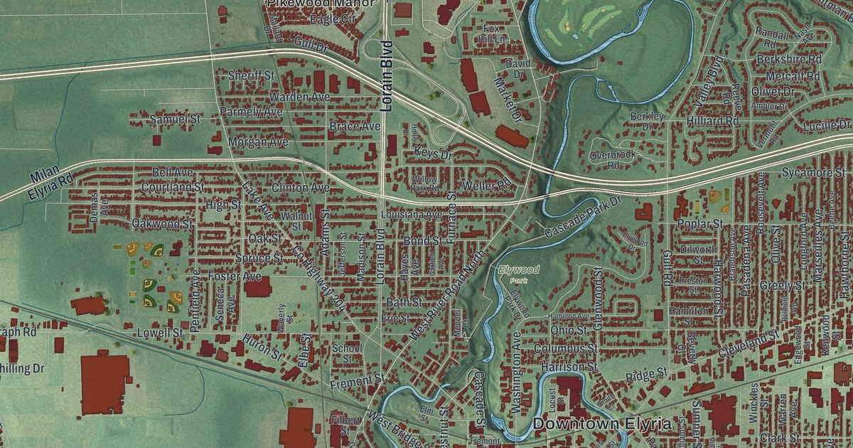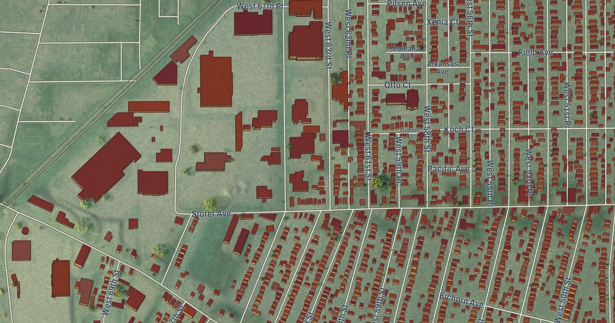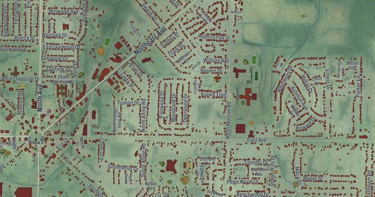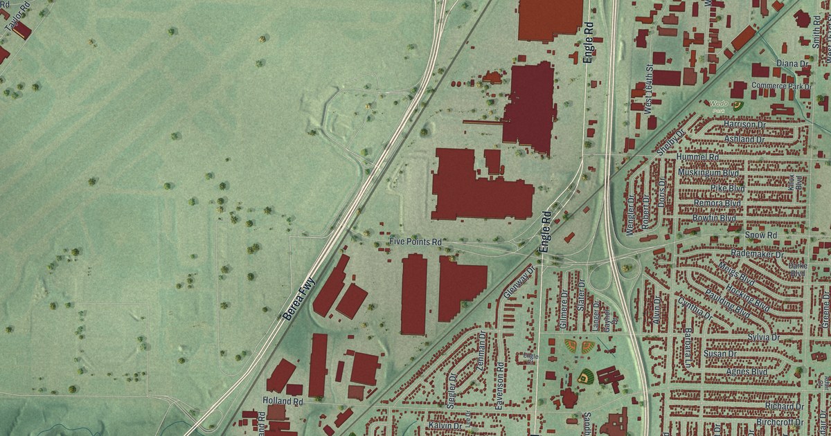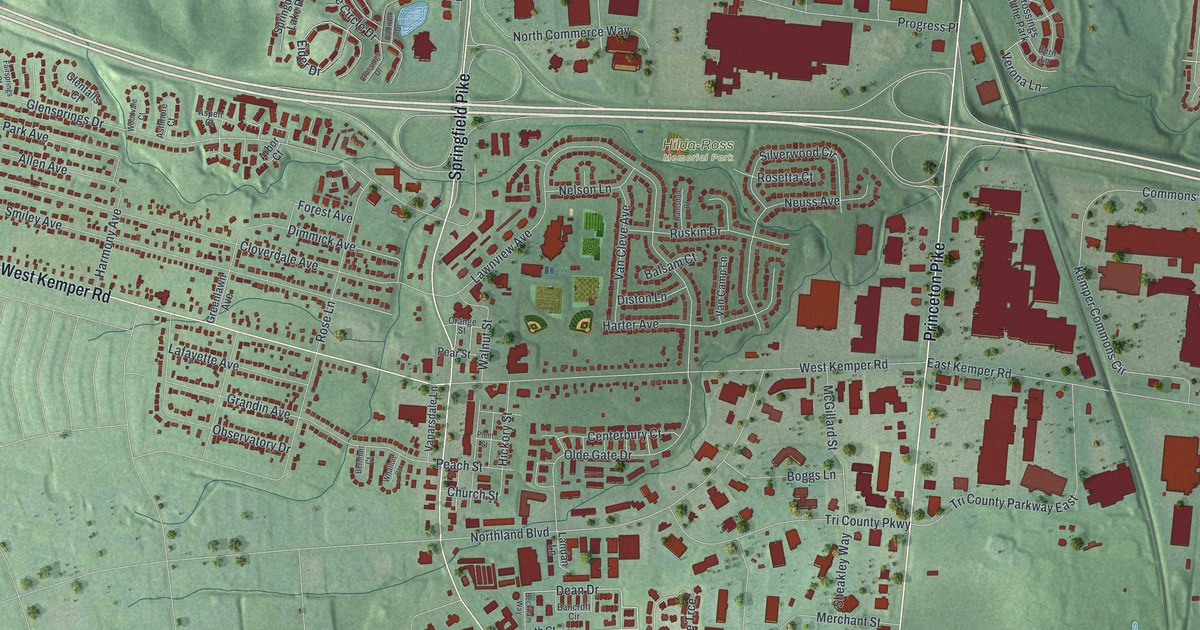
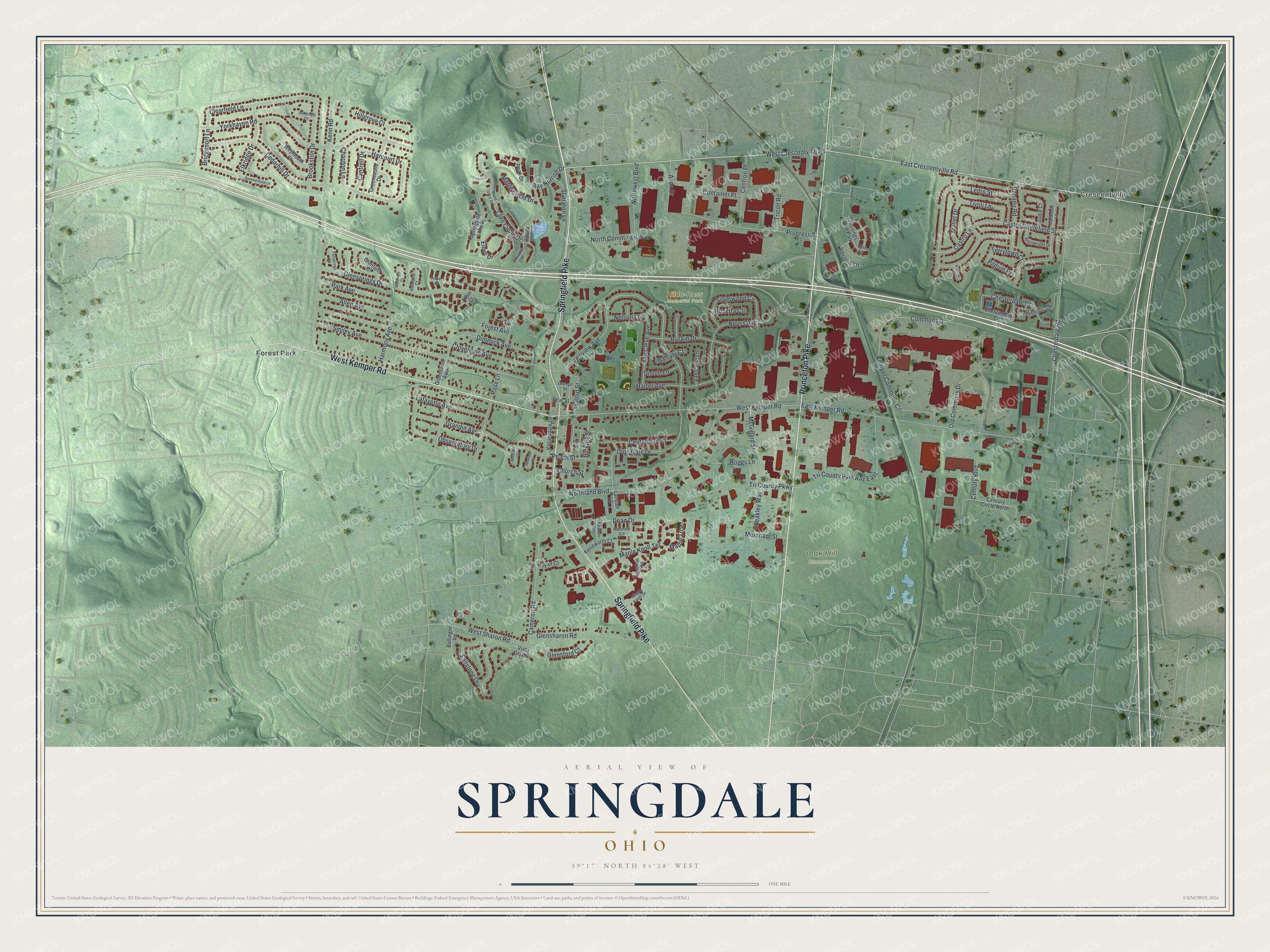
This beautifully detailed map of Springdale, Ohio was created in 2026 using aerial imagery combined with modern topographical, census, street and landmark data. It’s a one-of-a-kind view of Springdale that combines accurate data with a vintage aesthetic. The map shows every building in its true location, many of the roads carry their names, and the shaded topographic relief shows the shape of the land.
Explore an aerial view of Springdale, Ohio
On the map you’ll find Crescentville, Hilda-Ross Memorial Park, Oak Hill Cemetery, and Forest Park, along with Princeton Pike, Springfield Pike, West Kemper Road, West Crescentville Road, East Crescentville Road, Dean Drive, Clearfield Lane, Bridgeport Lane, and more. If you look closely you can even find your house accurately drawn in its correct location. Zoom in on the preview to look for yours.
Did you know this piece of Springdale, Ohio history?
Springdale was founded in 1806 as the Town of Springfield. It became a village under that name in 1839. Later the original incorporation was lost. The village was incorporated again in 1959 with the new name of Springdale, and it became a city in 1971. That’s from the City of Springdale.
Take a closer look at the Springdale map
Street and place names on the Springdale, Ohio map
These names are printed on the map of Springdale, Ohio.
Places: Crescentville, Hilda-Ross Memorial Park, Oak Hill Cemetery, Forest Park and Crossings at the Park.
Streets and roads: Princeton Pike, Springfield Pike, West Kemper Road, West Crescentville Road, East Crescentville Road, Dean Drive, Clearfield Lane, Bridgeport Lane, Dimmick Avenue, Harcourt Drive, Glensprings Drive, Lawnview Avenue.
More street names, A to Z
Allen Avenue, Arbor Court, Ashcroft Court, Ashmore Court, Aspen Court, Audie Court, Avon Drive, Ballinger Road, Balsam Court, Bancroft Circle, Beckham Way, Benadir Road, Bernhart Court, Bern Lane, Boggs Lane, Brookston Drive, Cameron Road, Cantrell Drive, Castro Circlefield Street, Castro Lane, Cedarhill Drive, Centerbury Court, Centron Place, Century Boulevard, Century Circle North, Chardon Lane, Chesterdale Circle, Chesterdale Drive, Chesterdale Road, Chesterwood Court, Church Street, Cloverdale Avenue, Commons Drive, Container Place, Crossings Drive, Diston Lane, East Kemper Road, Eider Drive, Elkridge Drive, Fairsprings Court, Fallstone Drive, Forest Avenue, Gadwell Drive, Glenfalls Court, Glensford Court, Glensharon Road, Grandin Avenue, Greencastle Drive, Greenlawn Avenue, Harmony Avenue, Harter Avenue, Hickory Street, Hillgrove Court, Kemper Commons Circle, Kenilworth Court, Kenn Road, Lafayette Avenue, Lake Circle Drive, Landan Lane, Ledro Street, Mallet Drive, Maple Circle Drive, Maple Knoll Drive, Maple Knoll Terrace, Maple Trce, Marwood Lane, McGillard Street, Merchant Street, Navona Court, Naylor Court, Nelson Lane, Neuss Avenue, North Commerce Way, Northland Boulevard, Northwest Boulevard, Observatory Drive, Old Commons Drive, Olde Gate Drive, Orange Street, Park Avenue, Peach Street, Peak Drive, Pear Street, Pilgrim Place, Plum Street, Progress Place, Ramsdale Court, Ray Norrish Drive, Rock Maple Drive, Rose Lane, Rosetta Court, Ruskin Drive, Sheakley Way, Sheraton Lane, Silverwood Circle, Smiley Avenue, Springdale Lake Drive, Summerfield Lane, Terrytown Court, Tivoli Lane, Tricon Road, Tri County Parkway, Tri County Parkway East, Vanarsdale Lane, Van Camp Lane, Van Cleve Avenue, Verona Lane, Vista Glen Drive, Wainwright Drive, Walnut Street, West Sharon Road, Weymouth Court, Whallon Court, Wood Duck Drive, Woodvale Court, Yorkhaven Road.
See the Springdale, Ohio map on a wall
The Springdale map as an 18 x 24 inch print in a black frame.

This beautifully detailed map of Springdale makes an attractive addition to your office, library, or den, and it can even be used to teach children the geography and history of the area. It also makes a great gift for someone who left Springdale and still calls it home. When you’re done exploring, click here to get your copy of the Springdale map.