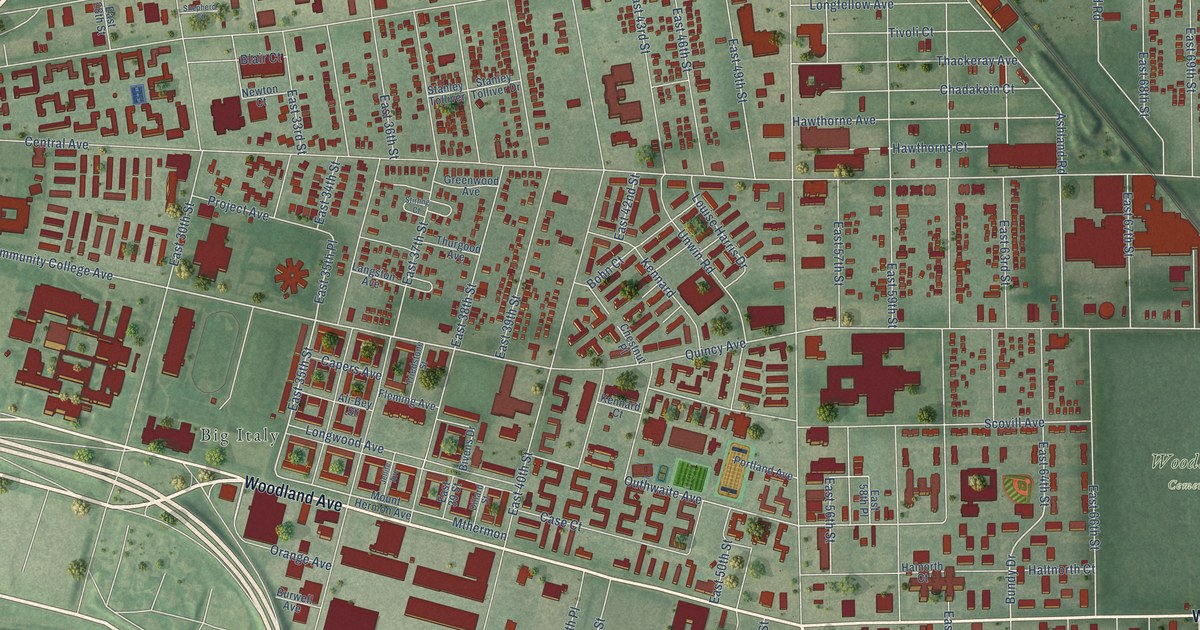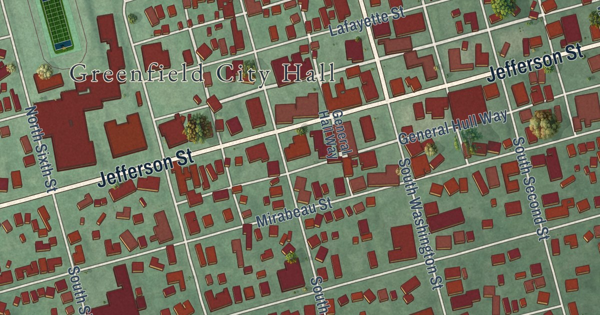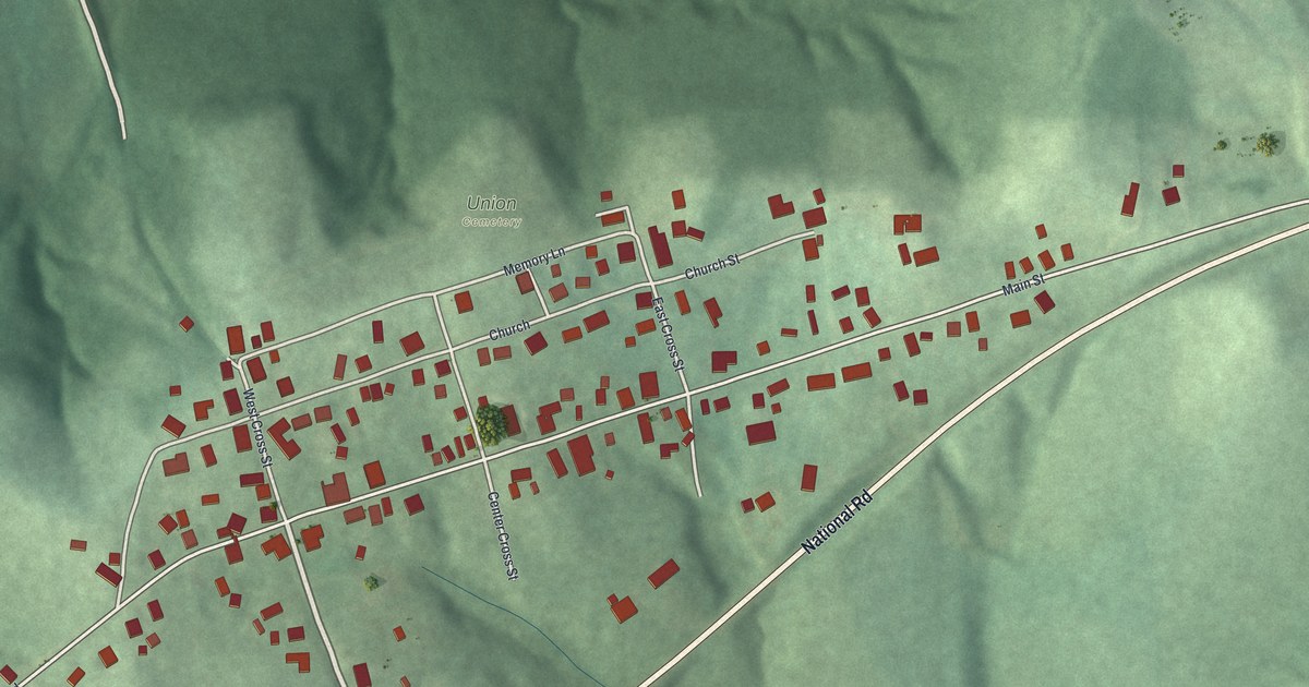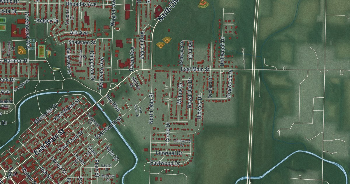
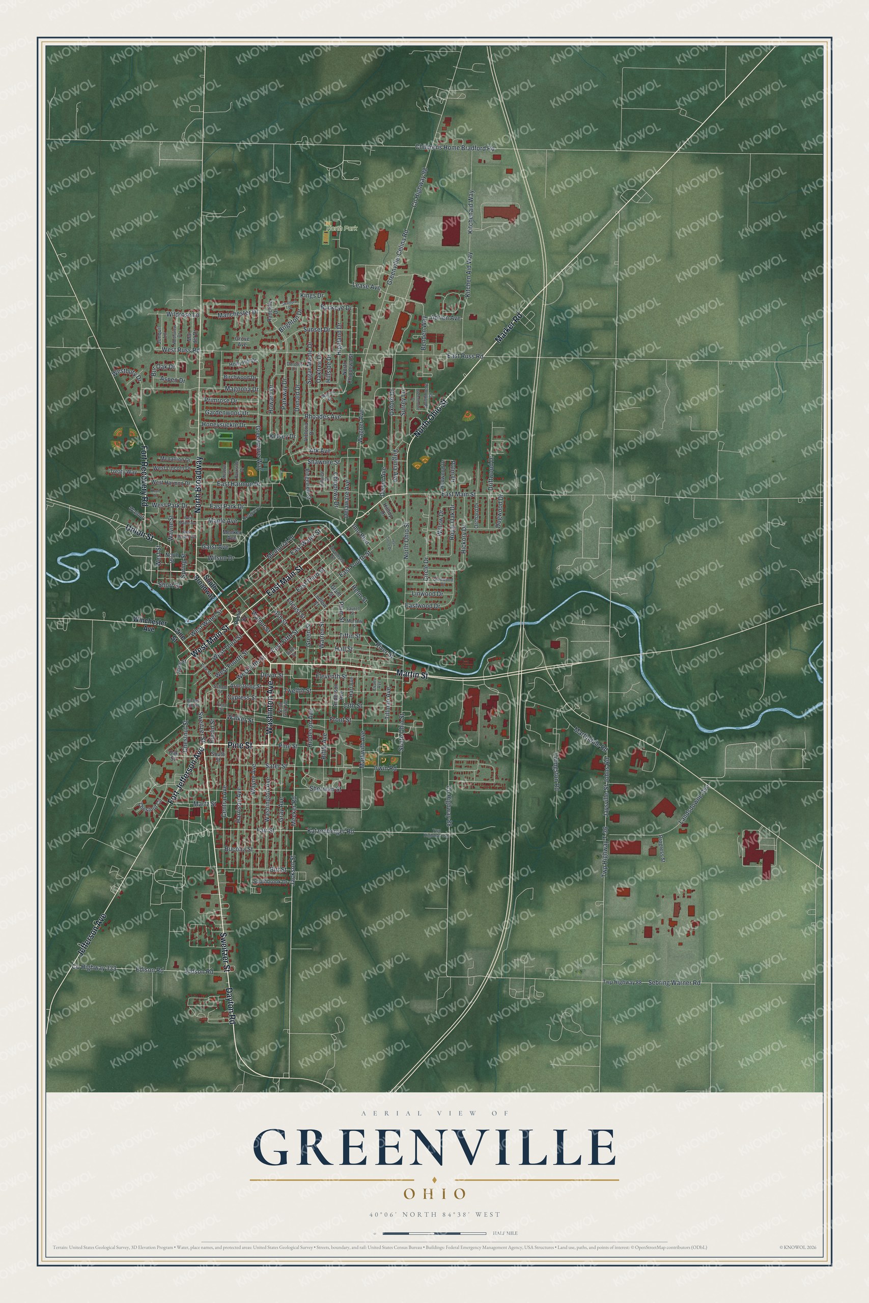
This beautifully detailed map of Greenville, Ohio was created in 2026 using aerial imagery combined with modern topographical, census, street and landmark data. It’s a one-of-a-kind view of Greenville that combines accurate data with a vintage aesthetic. The map shows every building in its true location, many of the roads carry their names, and the shaded topographic relief shows the shape of the land.
Explore an aerial view of Greenville, Ohio
On the map you’ll find North Park and North Broadway, along with Martin Street, Sweitzer Street, Washinton Avenue, Pine Street, West Main Street, Marker Road, North Ohio Street, Union Street, East Main Street, Fort Jefferson Avenue, and more. If you look closely you can even find your house accurately drawn in its correct location. Zoom in on the preview to look for yours.
Did you know this piece of Greenville, Ohio history?
From the 1914 History of Darke County, Ohio: "Greenville early became the strategic center of the various competing denominations. Here many of the first churches were established and from this point proceeded to establish missions in various parts of the county and encourage their development."
Take a closer look at the Greenville map
Street and place names on the Greenville, Ohio map
These names are printed on the map of Greenville, Ohio.
Places: North Park.
Streets and roads: Martin Street, Sweitzer Street, Washinton Avenue, Pine Street, West Main Street, Marker Road, North Ohio Street, Union Street, North Broadway, East Main Street, Fort Jefferson Avenue, Jefferson Avenue.
More street names, A to Z
13th Street, Adrien Avenue, Anderson Avenue, Ark Avenue, Armstrong Street, Ash Street, Aspen Drive, Benden Way, Bickel Hill Street, Birchwood Drive, Birt Street, Brighton Drive, Buckeye Drive, Bucoba Street, Bur Oak Drive, Central Avenue, Chestnut Circle, Chestnut Street, Childrens Home Bradford Road, Chippewa Drive, Circle Drive, County Highway 88, County Highway 98, County Highway 333, Cypress Street, Dayton Road, Delaware Avenue, Devor Street, Dogwood Drive, Donald Drive, Dorothy Lane, Douglas Drive, Driftwood Drive, Dwyer Avenue, East Fifth Street, East Fourth Street, East Harmon Drive, East Park Drive, East Russ Road, East Third Street, East Water Street, Eastwood Drive, Edison Road, Eidson Road, Eleventh Street, Euclid Street, Evans Avenue, Fair Street, Fort Recovery Road, Front Street, Gardenwood Drive, Garst Avenue, Glenwood Drive, Grant Street, Gray Avenue, Greenmoore Drive, Green Street, Greenville-Celina Road, Greenwave Way, Grove Avenue, Half Circle Drive, Hall Street, Harrison Avenue, Hart Avenue, Helm Street, Hickory Drive, Hiddeson Avenue, Highland Drive, Hillside Drive, Hilltop Drive, Hillview Street, Holly Hill Drive, Honeysuckle Drive, Howard Drive, Imo Boulevard, Irwin Road, Jackson Street, Jaysville-St Johns Road, Jonquil Lane, Katzenberger Road, Kelsey Drive, Kings Drive, Kitchen Aid Way, Kitchenaid Way, Knoll Drive, Landsdowne Avenue, Laurel Street, Lease Avenue, Linwood Drive, Livingston Road, Locust Street, Ludlow Street, Magnolia Drive, Manchester Drive, Maple Avenue, Mar del Drive, Marion Drive, Markwith Avenue, Martindale Road, Martz Street, Meadow Lane, Medallion Drive, Meeker Avenue, Meeker Road, Memorial Drive, Morrow Street, North Chippewa Street, North Gray Avenue, Northmoore Drive, North Street, Northview Drive, Oak Street, Oaktree Drive, Orchard Drive, Oxford Drive, Palm Drive, Parkside Drive, Parkway Drive, Penn Street, Plum Street, Primrose Drive, Progress Street, Public Square, Race Street, Radcliffe Drive, Redwood Drive, Rhoades Avenue, Ridgeview Street, Riffle Avenue, River Street, Royal Oak Drive, Sater Street, School Street, Sebring Warner Road, Shawnee Street, Sherman Street, Short Street, Sixth Street, South Broadway, Southbrook Drive, South Ohio Street, South Street, Spring Street, Stratford Drive, Sugar Maple Drive, Sunset Drive, Surrey Lane, Tecumseh Street, Tiffin Street, Tillman Avenue, Treaty Way, Twelfth Street, Twp Highway 88, Twp Highway 331, Twp Highway T-36, Victoria Drive, Vine Street, Virginia Avenue, Wagner Avenue, Walker Street, Walnut, Walnut Street, Warren Street, Washington Avenue, Wayne Avenue, Wayne Street, Westbury Drive, West Fifth Street, West Fourth Street, West Harmon Drive, West Lincoln Drive, West Maple Avenue, West Meeker Avenue, West Park Drive, West Russ Road, West Street, West Third Street, West Water Street, Wildrose Lane, Willow Drive, Wilson Drive, Winchester Avenue.
See the Greenville, Ohio map on a wall
The Greenville map as an 18 x 24 inch print in a black frame.

This beautifully detailed map of Greenville makes an attractive addition to your office, library, or den, and it can even be used to teach children the geography and history of the area. It also makes a great gift for anyone with Greenville roots. When you’re done exploring, click here to get your copy of the Greenville map.