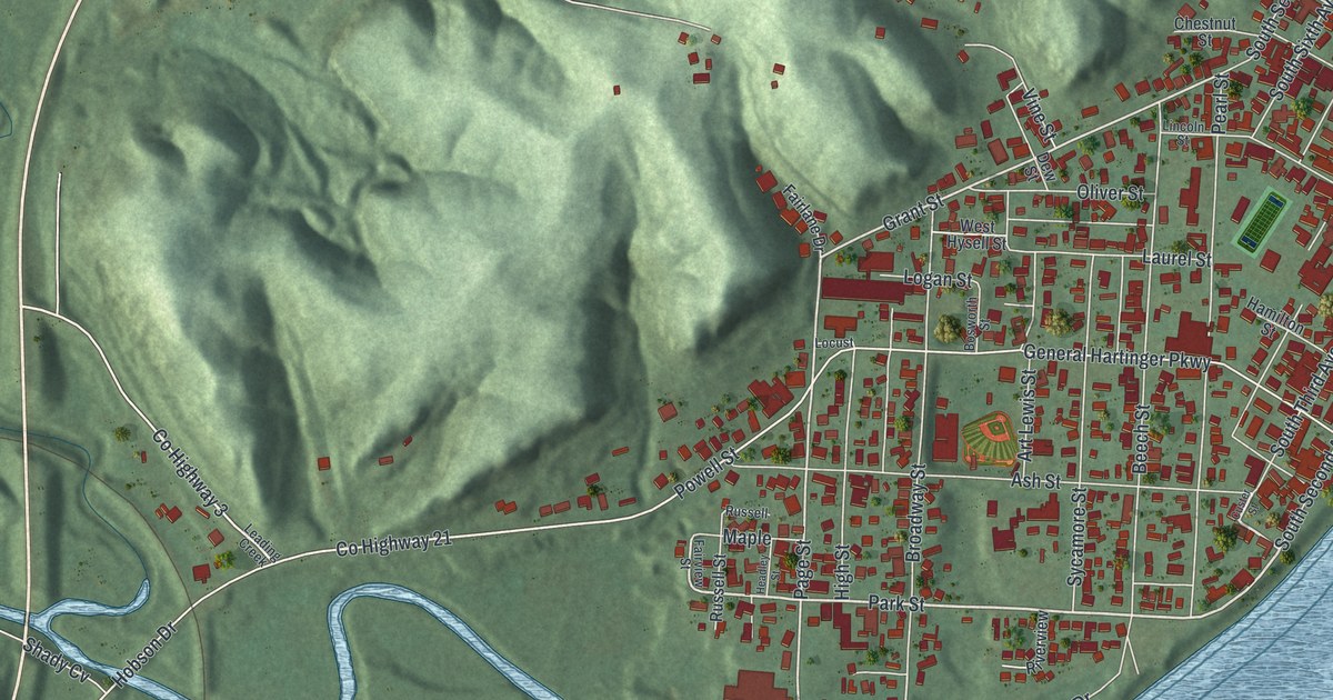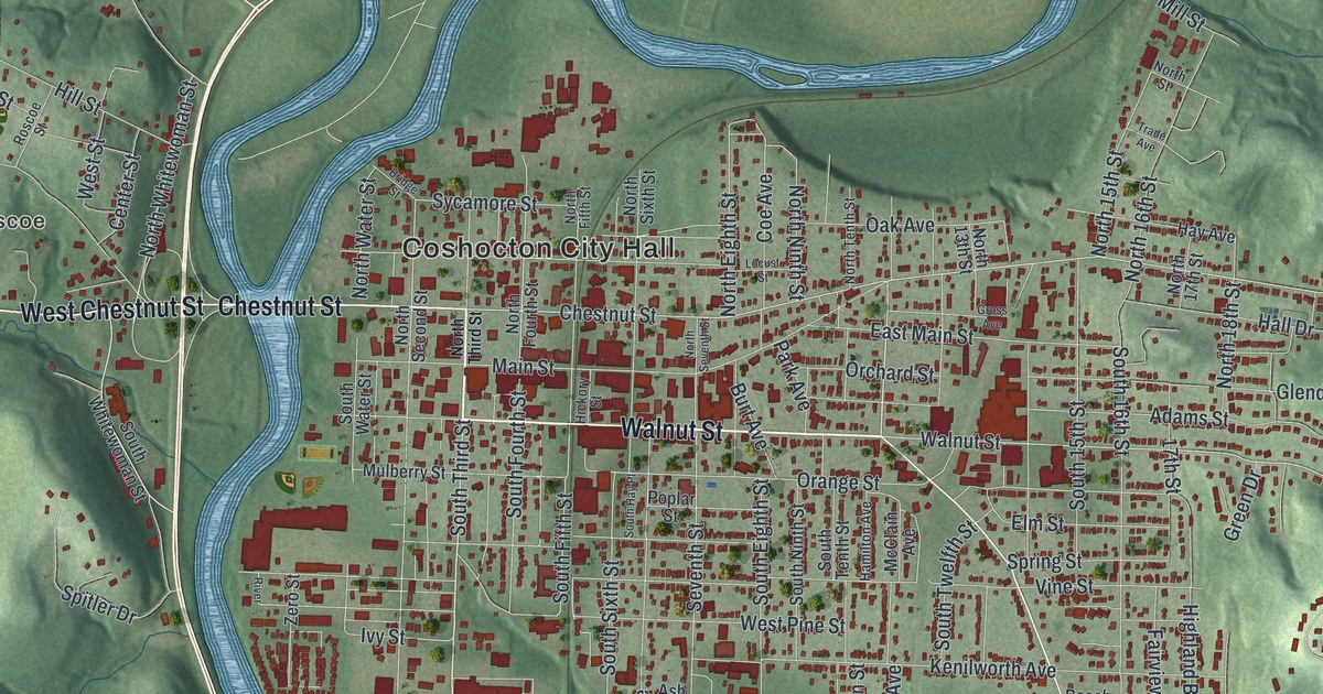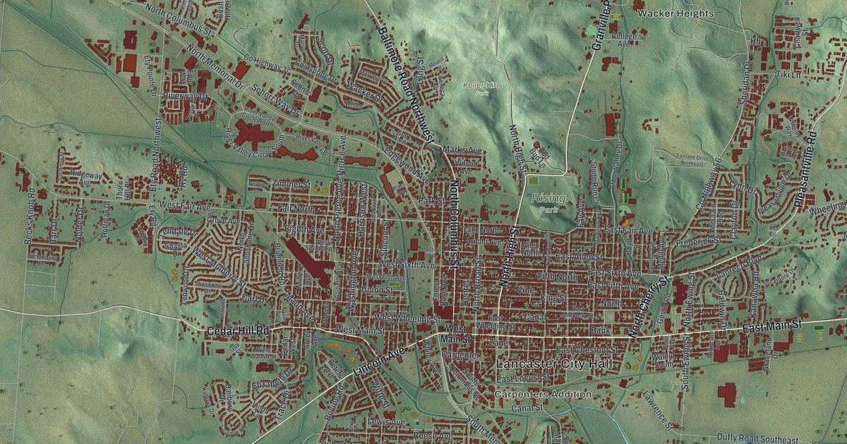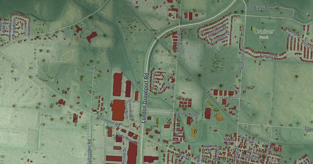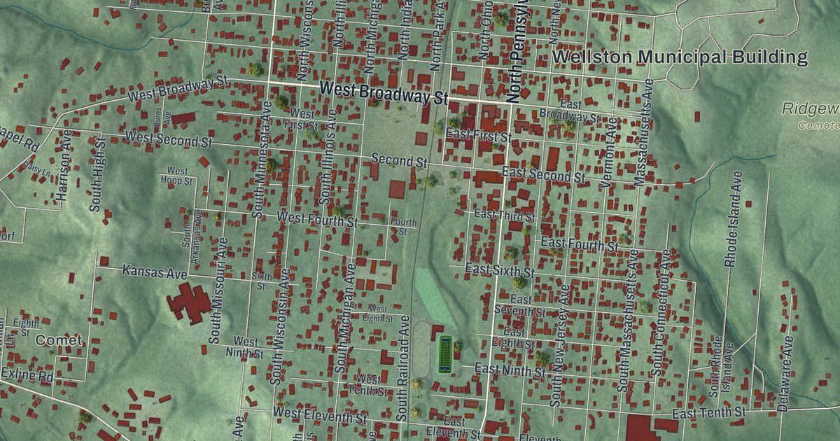
If you grew up in Wellston, or you still have family near West Broadway Street, this map was made with you in mind. It's a modern aerial view of Wellston in Jackson County, Ohio, built from modern data and given a vintage artistic feel. The town's grid of streets sits in the middle of the sheet. Wooded green hills rise on every side. You can pick out the Wellston Municipal Building, Ridgewood Cemetery, a few blue ponds and the ball fields at the north edge of town.
How Coal Started Wellston in 1873
On this map you'll find West Broadway Street, North Pennsylvania Avenue, South Pennsylvania Avenue, West 13th Street, North Minnesota Avenue, South Ohio Avenue, Rhode Island Avenue, Fairgrounds Road, Jeff Montomery Way, Number 8 Pike, Comet, Ironton Junction, Ridgewood Cemetery, the Wellston Municipal Building, and more. Each red shape is a building, so zoom in on the preview and look for yours.
Wellston is a young town by Ohio standards. In 1869, people found large beds of good coal in this part of Jackson County. That news drew investors with money to spend. In November 1873, the town was laid out on a farm. It was named for its founder, Harvey Wells. Henry Howe tells this story in his Historical Collections of Ohio, printed in 1891.
Wellston's First Iron Furnace
Iron came right behind the coal. On February 2, 1874, contracts were signed for the town's first iron furnace. It was built for the Wellston Coal and Iron Company. This whole area was part of the Hanging Rock Iron Region. An Ohio historical marker says it was once one of the leading iron centers of the world. The town that grew from that start now fills the middle of this map. Its long avenues carry the names of states, from Pennsylvania and Ohio to Minnesota and Rhode Island.
Old Homes Along Broadway Street
Some of Wellston's old homes are on the National Register of Historic Places. The Morgan Mansion stands at Broadway and Pennsylvania Avenues. The Clutts House is on East Broadway Street. The Harvey Wells House is listed too. On the map, look where West Broadway Street meets North Pennsylvania Avenue, near the Wellston Municipal Building.
Keep West Broadway Street Close
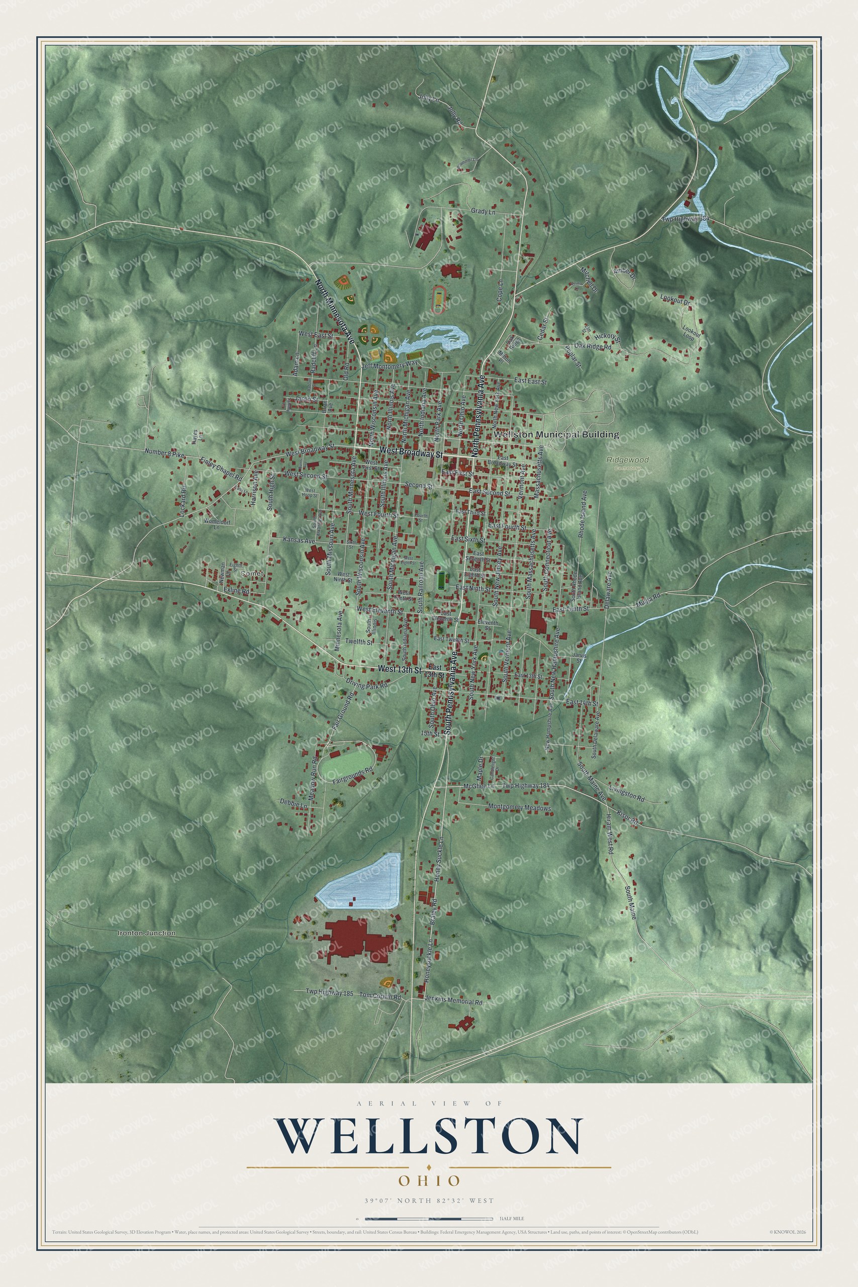
Created by KNOWOL in 2026, this print shows Wellston set in shaded green hills, with red buildings, blue water and a thin cream border. The title panel reads "Aerial View of Wellston, Ohio" with the coordinates 39°07' North 82°32' West.
It fits a living room, a front hall or a home office. It's a good gift for anyone who grew up near the Wellston Municipal Building and now lives far from Jackson County. Open the preview and find the street you know best. See sizes and frames for the Wellston map.