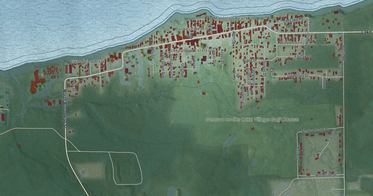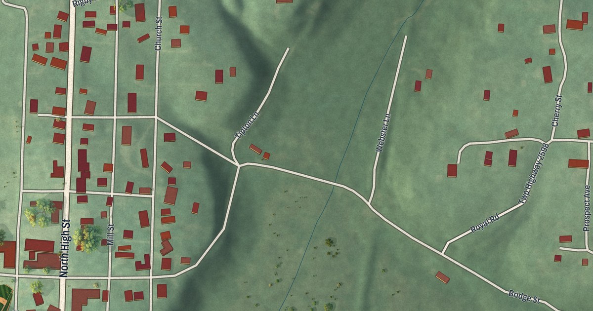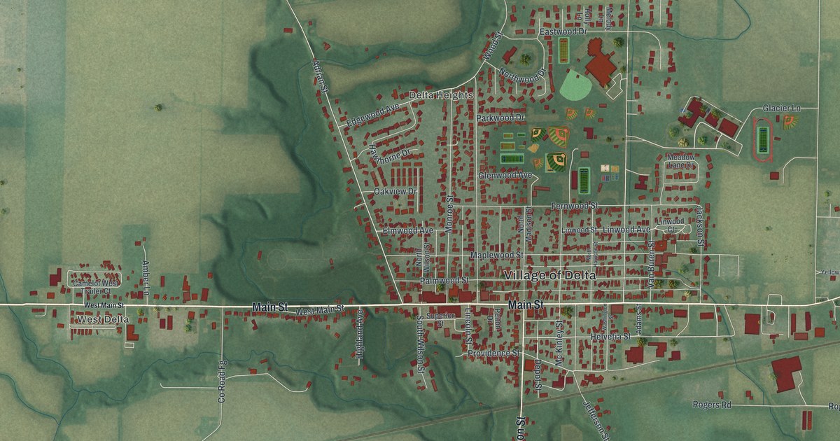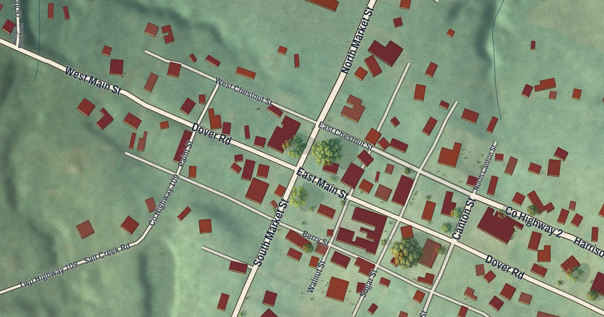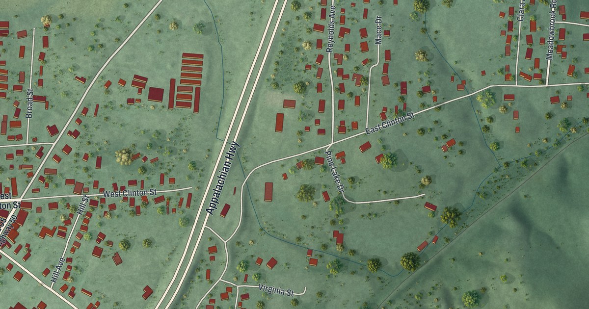
If you grew up in Albany, or your family still lives along West Clinton Street or State Street, this map was made with you in mind. It's a modern aerial view of Albany in Athens County, Ohio, built from modern data and given a vintage feel. More than 900 red buildings sit among green hills and small creeks. Appalachian Hwy, West Clinton St and State St are all printed on it.
The Enterprise Academy and Albany's Schools
On this map you'll find West Clinton Street, East Clinton Street, State Street, Center Street, Appalachian Highway, College Street, Broad Street, Mill Street, Depot Street, Hill Street, Virginia Street, Shawnee Drive, Rossetter Road, Old US Highway 50, and more. Each red shape is a building, so zoom in on the preview and look for yours.
Albany started in 1838 as a market town for the farms around it. From the start, people here cared a lot about school. Public schools were small back then. So private academies taught local children from the 1840s to the 1880s. In 1891, Henry Howe wrote about two of them. He named the Atwood Institute and the Enterprise Academy, a school for Black students. He also called Albany a well-known temperance town. Howe described it as sitting in a fine grazing and wool-producing region, with four churches and two newspapers.
Albany and the Underground Railroad
Many people in Albany were against slavery. The Ohio historical marker in the village says many of them helped with the Underground Railroad. Free African Americans came to Albany for its schools and its friendly neighbors. Most had moved away by the 1930s. After World War Two, the village lost its place as a center for trade. The marker still stands along West Clinton Street.
Keep West Clinton Street Close
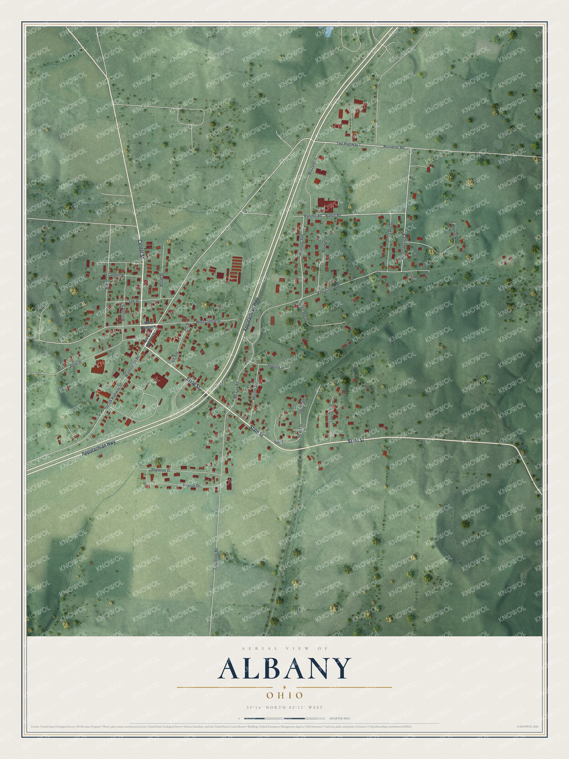
Created by KNOWOL in 2026, this print shows Albany from above in soft greens, with red buildings, pale roads and shaded hills. The title panel at the bottom reads AERIAL VIEW OF ALBANY, OHIO, with the coordinates 39°14' NORTH 82°12' WEST.
It fits well in a kitchen, a hallway, a den or an office. It's a good gift for someone who moved away and still thinks about West Clinton Street, or for a family with deep roots in Athens County. Open the preview and find the street you grew up on. See sizes and frames for the Albany map.