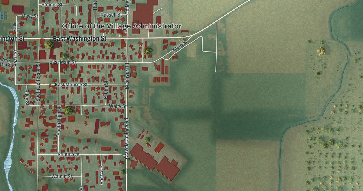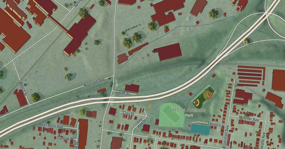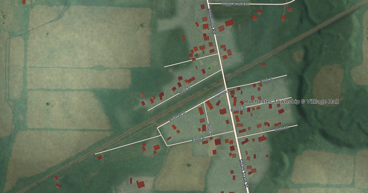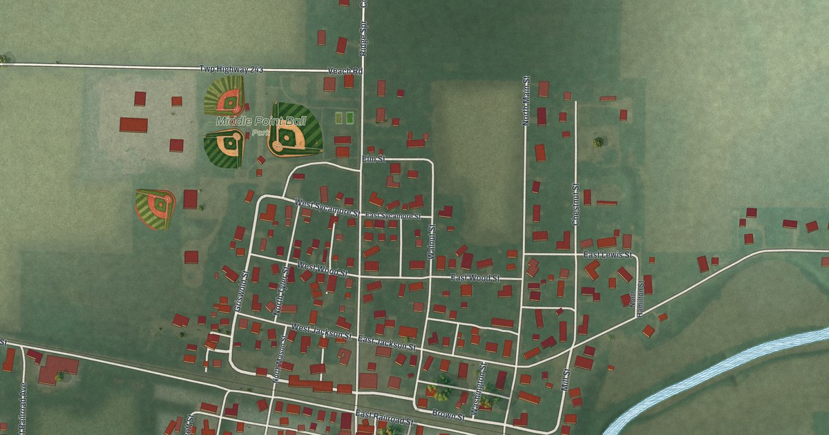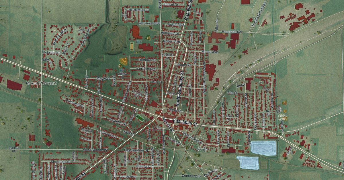
If you grew up in Bellevue, shopped on East Main Street, or still have family near Mill Pond Park, this map is for you. It's a modern aerial view of Bellevue in Huron County, Ohio, made from modern data with a vintage feel. Red buildings fill the blocks around East Main Street, West Main Street and North Sandusky Street. Rail lines, blue ponds and green farm fields spread out around the edges of town.
Henry Flagler's Start on Southwest Street
On this map you'll find East Main Street, West Main Street, North Sandusky Street, Southwest Street, Kilbourne Street, Castalia Street, Monroe Street, Harkness Street, Bellevue Cemetery, Mill Pond Park, Ridge Park, Mount Pleasant, the Bellevue Municipal Building, and more. Each red shape is a building, so zoom in on the preview and look for yours.
Henry Flagler spent his young years in Bellevue. He started his business career here in 1844. In 1858 he built his home near 253 Southwest Street, where a state marker stands today. Flagler first knew John D. Rockefeller as a fellow grain merchant. In 1870 the two formed the Standard Oil Company. Part of the money came from the local Harkness family. Standard Oil grew into the largest company in America in the late 1800s. Flagler used his fortune to build up Florida. His Florida East Coast Railroad ran all the way to Key West, and people called it "the railroad over the sea." Miami, Palm Beach, Fort Lauderdale and St. Augustine all grew with his work, says the Ohio History Connection marker. Southwest Street is printed on this map, so you can find the block where his story began.
The Tremont House on East Main Street
The Tremont House stands at 101 East Main Street. Loel and Samuel B. Chandler opened it in 1846 to serve stagecoach travelers on the Maumee Pike, now U.S. Route 20. It was a hotel for a short time. Later it held grocery and hardware stores, a pharmacy and even a cigar factory. Its third floor ballroom hosted town events and clubs like the Odd Fellows. The west side of the building sits on the old western edge of the Firelands. The Tremont House joined the National Register of Historic Places in 2006. East Main Street is printed on this map, so you can find it there.
From East Main Street to Mill Pond Park
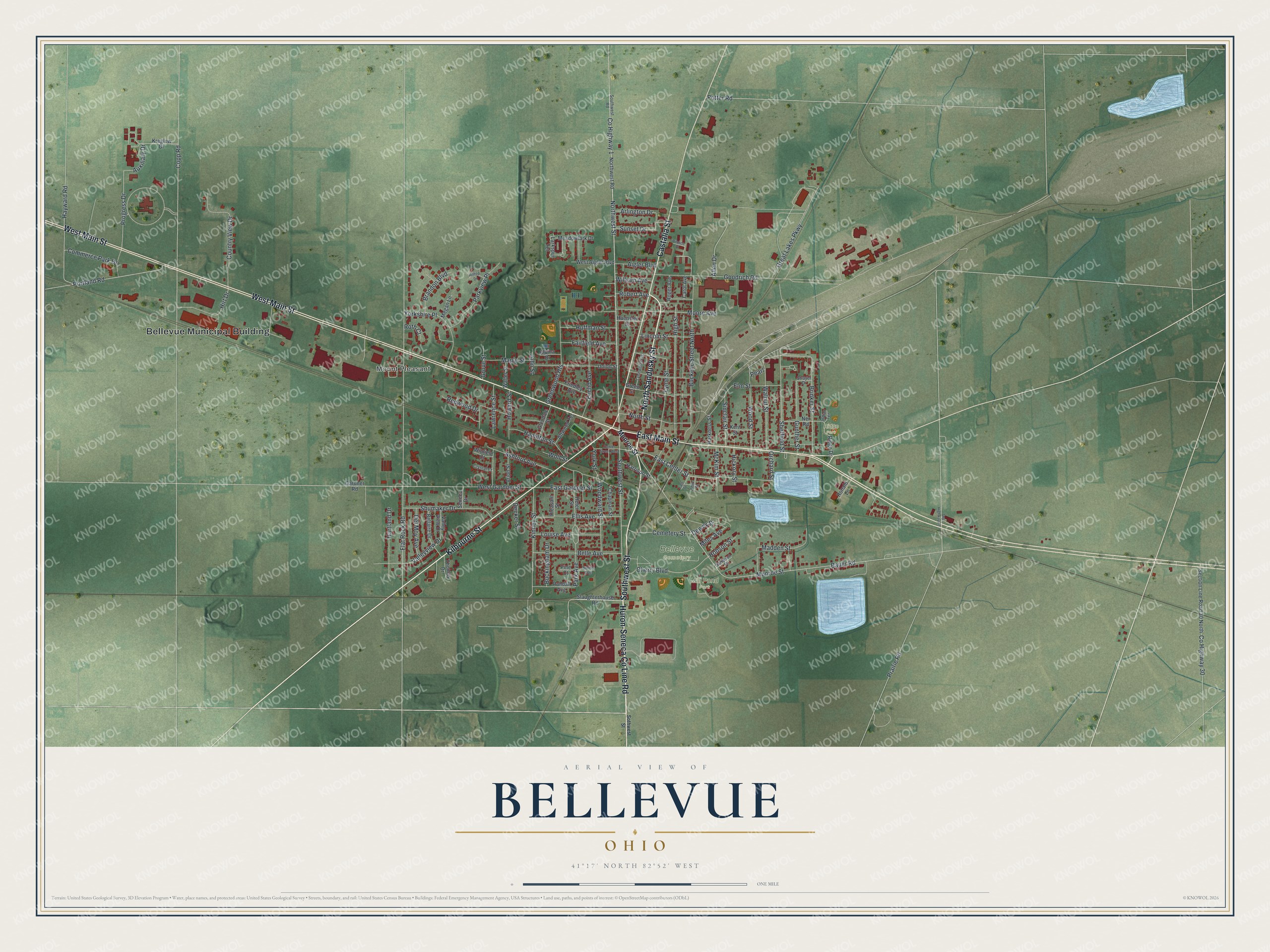
Created by KNOWOL in 2026, this print shows Bellevue from above, with red buildings over soft green fields, blue ponds and the rail lines that cross town. The title panel reads "Aerial View of Bellevue, Ohio" with the coordinates 41°17' North 82°52' West.
It fits a living room, a front hall or a home office. It's a good gift for a family member who moved away from Bellevue, or for anyone with ties to Mill Pond Park. Open the preview and find your own street. See sizes and frames for the Bellevue map.