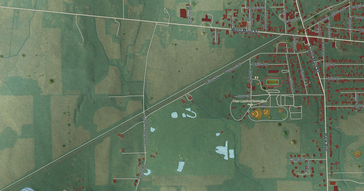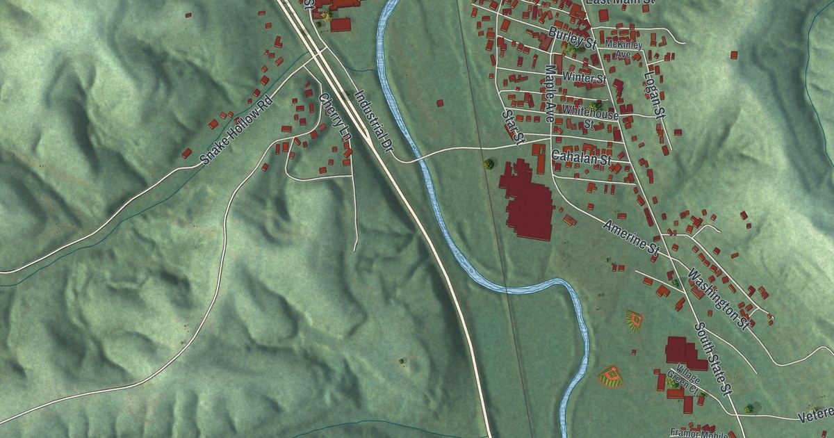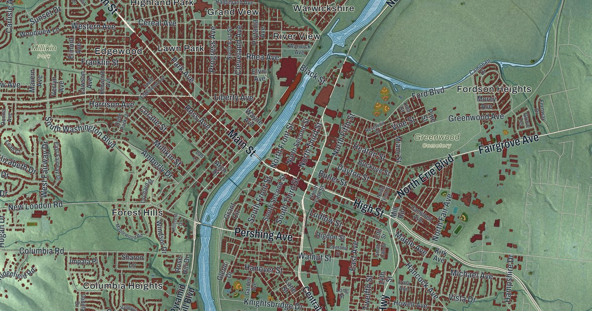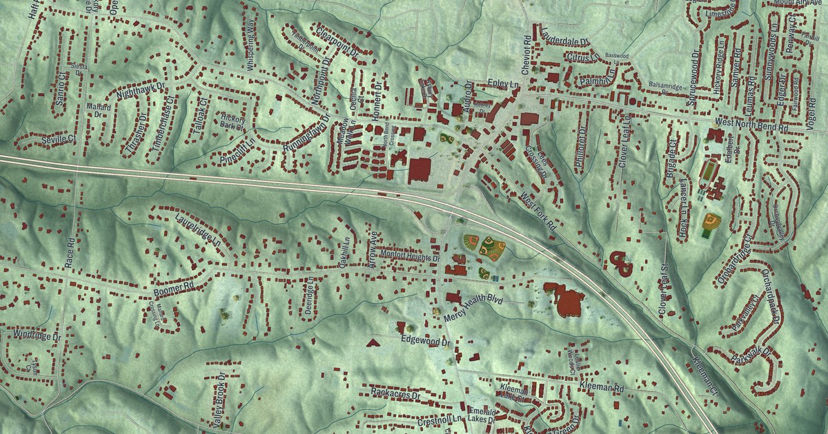
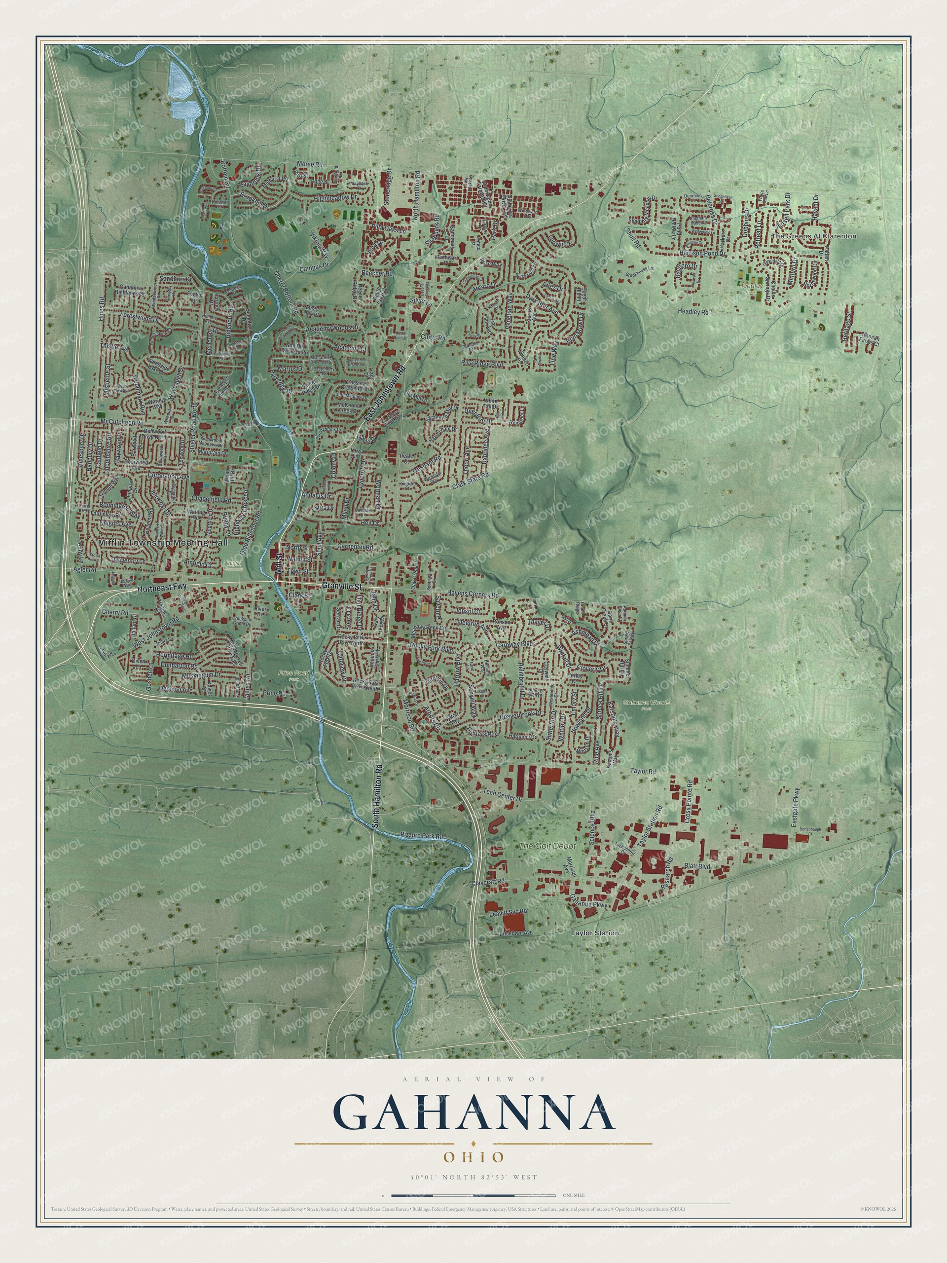
This beautifully detailed map of Gahanna, Ohio was created in 2026 using aerial imagery combined with modern topographical, census, street and landmark data. It’s a one-of-a-kind view of Gahanna that combines accurate data with a vintage aesthetic. The map shows every building in its true location, many of the roads carry their names, and the shaded topographic relief shows the shape of the land.
Explore an aerial view of Gahanna, Ohio
On the map you’ll find Mifflin Township Meeting Hall, The Greens At Clarenton, Gahanna Woods Park, Headley Park, Mifflin Cemetery, Price Road Park, Taylor Station, The Golf Depot, and Northeast Fwy, along with South Hamilton Road, Granville Street, Mill Street, and more. If you look closely you can even find your house accurately drawn in its correct location. Zoom in on the preview to look for yours.
Did you know this piece of Gahanna, Ohio history?
John Clark founded the town in 1849 on land his father Joseph had bought in 1814. He called it the Gahanna Plantation. The name comes from a Native American term meaning three creeks that join as one. The city seal still reads Three In One.
Take a closer look at the Gahanna map
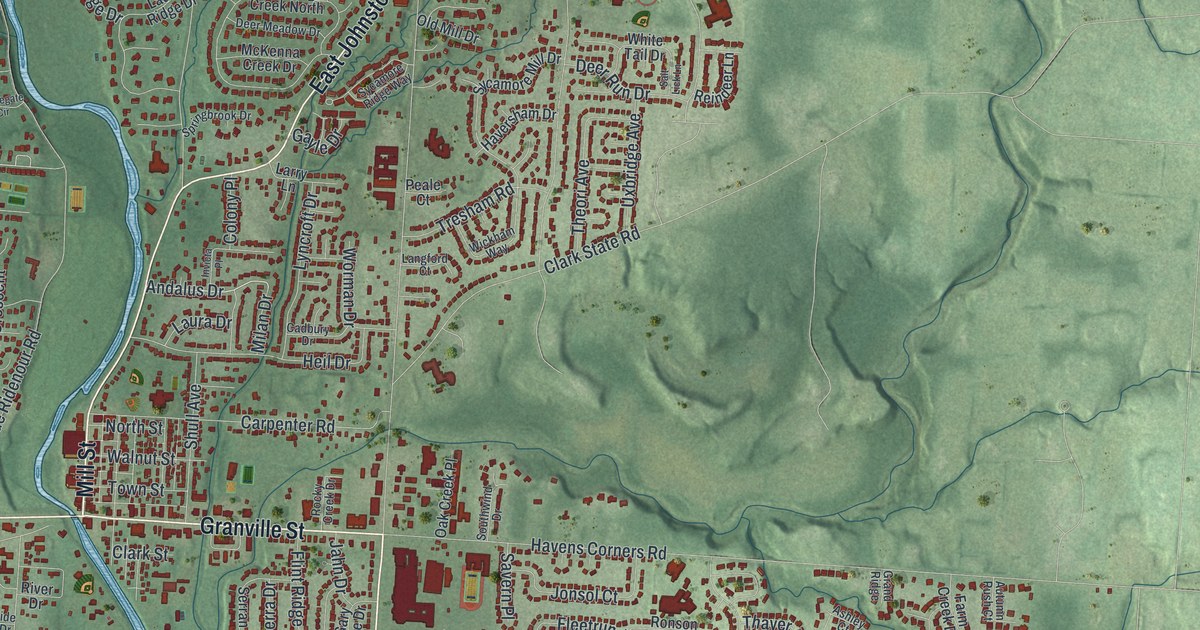
Street and place names on the Gahanna, Ohio map
These names are printed on the map of Gahanna, Ohio.
Places: Mifflin Township Meeting Hall, The Greens At Clarenton, Gahanna Woods Park, Headley Park, Mifflin Cemetery, Price Road Park, Taylor Station and The Golf Depot.
Streets and roads: Northeast Fwy, South Hamilton Road, Granville Street, Mill Street, East Johnstown Road, Rocky Fork Boulevard, Andalus Drive, Morrison Road, Brookhill Drive, Harrow Boulevard, Tech Center Drive, Flint Ridge Drive.
More street names, A to Z
Academy Court, Academy Woods Drive, Agler Road, Ainsworth Avenue, Amberlea Drive East, Amesbury Drive, Amfield Court, Arbors Circle, Arcaro Drive, Aries Drive, Armor Hill Drive, Ashley Court, Ashmead Drive, Autumn Rush Court, Ballard Drive, Banbury Drive, Barwood Drive, Bayboro Drive, Baywood Place, Beaverbrook Drive, Beecher Crossing, Beecher Road, Belcross Drive, Bingham Mills Drive, Bird Street, Black Gold Avenue, Blatt Boulevard, Bonnington Way, Bottom Road, Bricklawn Avenue, Brookhaven Drive East, Brookhouse Lane, Bryn Mawr Drive, Cadbury Drive, Campus Drive, Camrose Court, Canfield Drive, Cannonade Court, Caro Lane, Caroway Boulevard, Carpenter Road, Castle Pines Drive, Caswell Drive, Challis Springs Drive, Chapelfield Road, Cherry Bottom Road, Cherry Road, Cherrystone Drive North, Churchill Drive, Clark State Road, Clark Street, Claycraft Road, Clemson Street, Cliffview Drive, Clotts Road, Cloverly Drive, Codet Road, Coldwell Court, Coldwell Drive, Colony Place, Coronation Avenue, Creekside Green Drive, Creighton Court, Creswell Drive, Crossing Creek North, Cross Pointe Road, Crown Hill Court, Dark Star Avenue, Daventry Lane, Debra Lane, Deer Meadow Drive, Deer Run Drive, Deerwood Avenue, Deffenbaugh Court, Dellfield Way, Denison Avenue, Denwood Drive North, Diven Lane, Dobbins Drive, Dovewood Drive, Dunbarton Road, Dunoon Drive, Dunrovin Drive, Eastcherry Avenue, Eastgate Parkway, Emory Street, Empire Drive, Evelyn Lane, Fairholme Road, Farm Creek Drive, Fleetrun Avenue, Forestwood Drive, Founders Ridge Drive, Foxwood Drive, Gahanna Highlands Drive, Gahanna Parkway, Gary Lee Drive, Gayle Drive, Goshen Lane, Grand Ridge, Grey Oaks Drive, Grove Drive, Gwyndale Drive, Hager Court, Halsbury Circle, Hannah Farms Court, Harkers Court, Harmony Drive, Harrison Pond Drive, Hartney Drive, Havant Drive, Havens Corners Road, Haversham Drive, Haybrook Drive, Haymarket Place, Headley Road, Heil Drive, Helmbright Drive, Hemston Drive, Heritage Street, Hermitage Road, Highbury Crescent, Highmeadow Drive, Hines Road, Howland Drive, Hunters Glen Drive, Hunters Run, Hurley Court, Imperial Drive, Invicta Place, Iroquois Park Place, Jahn Drive, James Road, Jensen Park Drive, Jessica Way, Jonsol Court, Jordana Drive, Karson's Way, Kason's Way, Knights Avenue, Landover Place, Langford Court, Larry Lane, Laura Drive, Laurel Ridge Drive, Leavitt Svc Road, Lincolnshire Road, Lindenhaven Road, Line Way, Ludwig Drive, Lyncroft Drive, Lytton Way, Marinel Lane, Marjoram Drive, Marrus Drive, Maybank Court, McCutcheon Road, McDonell Drive, McKenna Creek Drive, Meadow Green Circle, Mechwart Place, Midhurst Road, Milan Drive, Minturn Drive, Mistletoe Street, Misty Oak Place, Moorfield Drive, Morrison Avenue, Morse Road, Moss Oak Avenue, Muskingum Drive, Nob Hill Drive North, Nob Hill Drive South, North Hamilton Road, North Street, Northwood Circle, Oak Creek Place, Olde Ridenour Road, Old Mill Drive, Paden Drive, Page Street, Park Drive, Parkedge Drive, Peale Court, Penny Lane, Pimlico Drive, Pincay Place, Pizzuro Park Road, Pond Hollow Lane, Price Road, Prince of Wales Drive, Reece Ridge Drive, Regents Road, Reindeer Lane, Research Road, Retreat Lane, Rice Avenue, Ridenour Road, Ridge Crest Drive, Rimbey Avenue, Riva Ridge Boulevard, River Drive, Rocky Creek Drive, Rocky Fork Drive, Rocky Fork Drive North, Rocky Fork Drive South, Ronson Avenue, Rose Way, Rugby Lane, Salt Lick Lane, Sanctuary Place, Sandburr Drive, Savern Place, Schyler Way, Science Boulevard, Sedgefield Drive, Serran Drive, Shagbark Road, Sheffield Drive, Sherwood Meadows Drive, Shull Avenue, Shull Road, Sierra Drive, Silver Lane, Sleeping Meadow Drive, Southwind Drive, Springbrook Drive, Spring Park Place, Spruce Hill Drive, Stonegate Circle, Stoneridge Drive, Stygler Road North, Stygler Road South, Sugar Hill Place, Summer Hill Circle, Sumption Drive, Sutterton Drive, Sycamore Mill Drive, Sycamore Ridge Way, Taurus Avenue, Taylor Road, Taylor Station Road, Technology Drive, Thayer Drive, Theori Avenue, Thistle Avenue, Timbers Drive, Timothy Drive, Tim Tam Avenue, Town Street, Trapp Drive, Tresham Road, Triumph Way, Turcotte Drive, Ulverston Drive, Underwood Farms Boulevard, Uxbridge Avenue, Venetian Way, Viking Way, Villa Oaks Lane, Vista Drive, Walcreek Drive East, Walnut Street, Waring Way, Watling Road, Waybaugh Drive, Wedgefield Lane, Westerdale Drive, West Johnstown Road, White Oak Lane, White Tail Drive, Whitley Drive, Whitson Drive, Wickham Way, Windbourne Street, Windtree Court, Windward Way, Winfall Drive, Woodbay Drive, Woodmark Run, Woodside Lake Drive, Worman Drive, Xavier Street, Ymca Place, Zodiac Avenue.
See the Gahanna, Ohio map on a wall
The Gahanna map as an 18 x 24 inch print in a black frame.

This beautifully detailed map of Gahanna makes an attractive addition to your office, library, or den, and it can even be used to teach children the geography and history of the area. It also makes a great gift for anyone who grew up in Gahanna or moved away. When you’re done exploring, click here to get your copy of the Gahanna map.