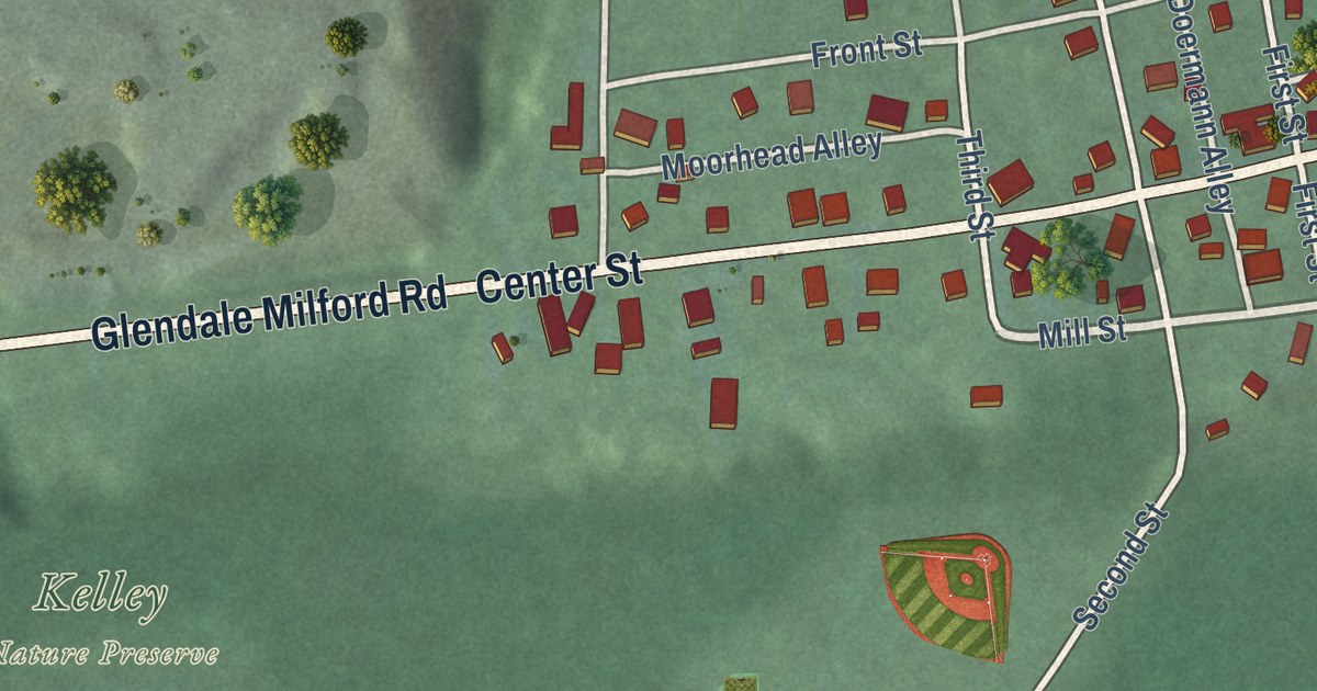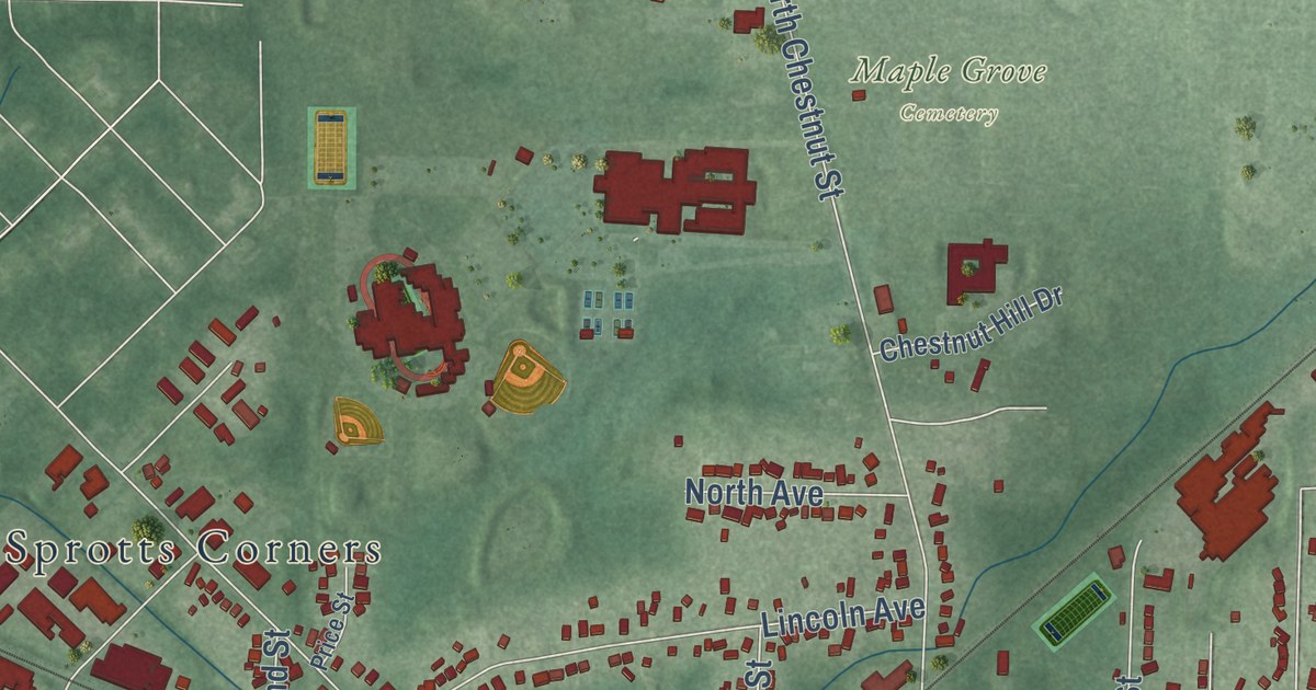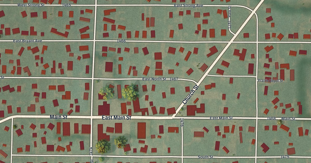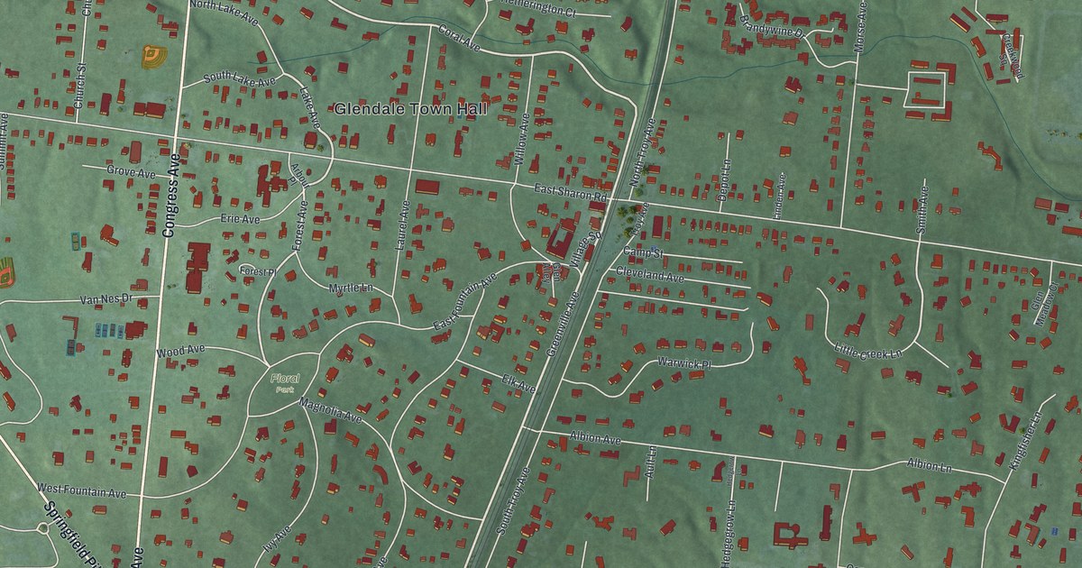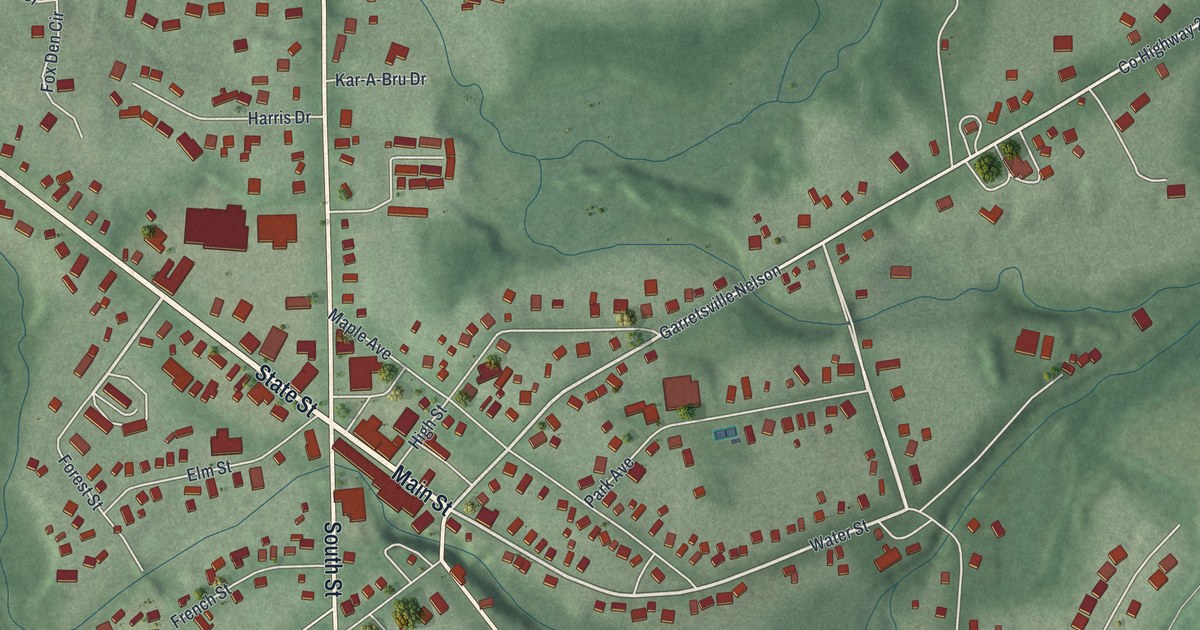
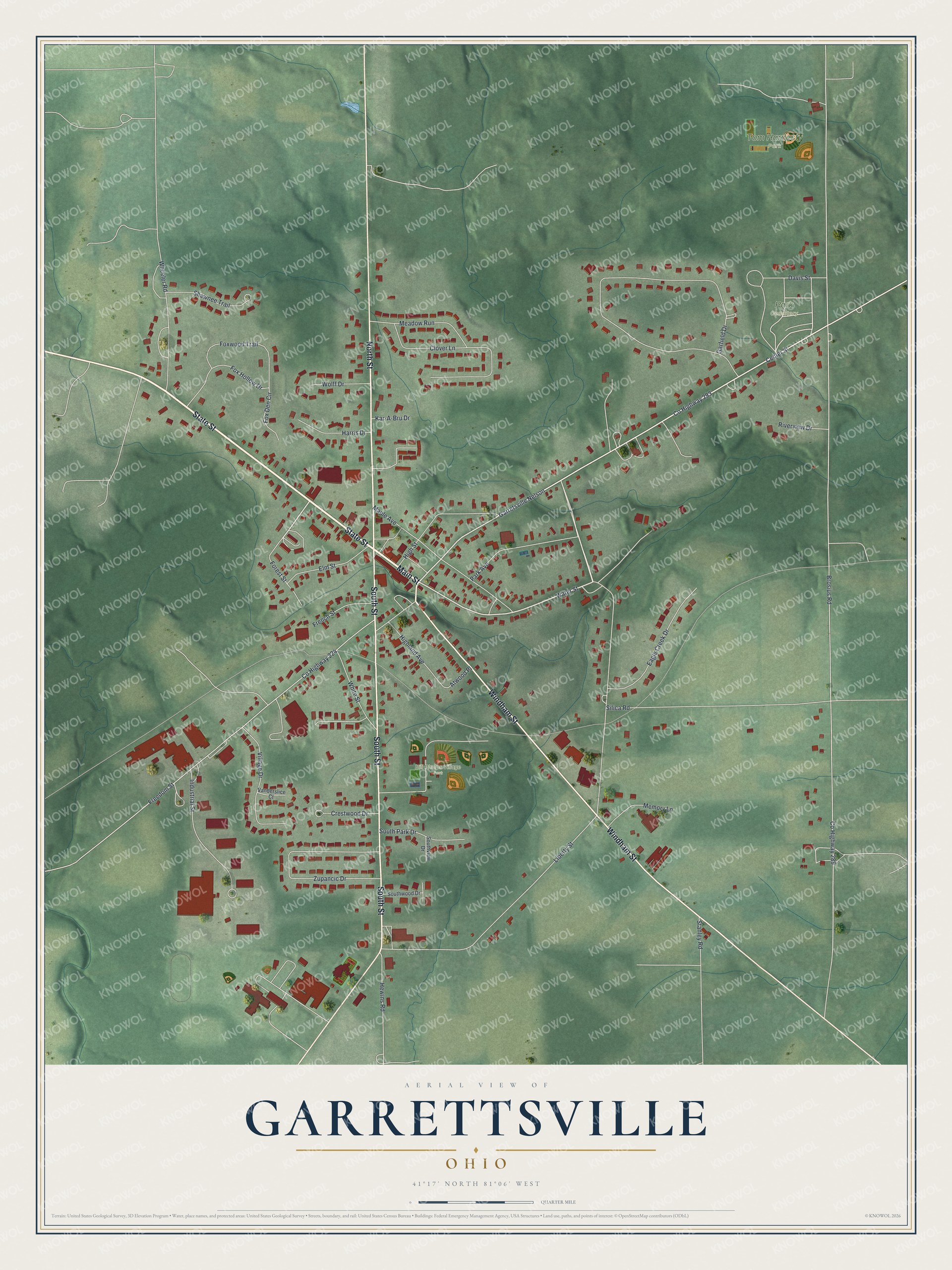
This beautifully detailed map of Garrettsville, Ohio was created in 2026 using aerial imagery combined with modern topographical, census, street and landmark data. It’s a one-of-a-kind view of Garrettsville that combines accurate data with a vintage aesthetic. The map shows every building in its true location, many of the roads carry their names, and the shaded topographic relief shows the shape of the land.
Explore an aerial view of Garrettsville, Ohio
On the map you’ll find Bill Phelps Village Park, Park Cemetery, and Tom Hardesty Park, along with Main Street, State Street, South Street, North Street, Windham Street, Liberty Street, Water Street, Center Street, Forest Street, and more. If you look closely you can even find your house accurately drawn in its correct location. Zoom in on the preview to look for yours.
Did you know this piece of Garrettsville, Ohio history?
Colonel John Garrett III bought 300 acres in Nelson Township in 1803, the year Ohio became a state. He settled there in July 1804 with his family and two enslaved girls. Their grist mill opened in January 1806, and Garrett died that same month. The settlement around his mill became a village in 1864.
Take a closer look at the Garrettsville map
Street and place names on the Garrettsville, Ohio map
These names are printed on the map of Garrettsville, Ohio.
Places: Bill Phelps Village Park, Park Cemetery and Tom Hardesty Park.
Streets and roads: Main Street, State Street, South Street, North Street, Windham Street, Liberty Street, Water Street, Center Street, Forest Street, County Highway 293, Brosius Road, County Highway 289.
More street names, A to Z
Atwood Place, Clover Lane, County Highway 224, Crestwood Drive, Davis Street, Eagle Creek Drive, Elm Street, Fox Den Circle, Fox Hollow Drive, Foxwood Trail, Freedom Street, French Street, Garfield Drive, Garretsville Nelson, Harris Drive, Hewins Road, Highland Avenue, High Street, Industrial Street, Kar-A-Bru Drive, Maple Avenue, Meadow Run, Memory Lane, Park Avenue, Riverview Drive, Shawnee Trail, Silica Road, South Park Drive, Southview Drive, Southwood Drive, Stanley Road, Vanderslice Court, Village Drive, Wheeler Road, White Street, Wolff Drive, Zupancic Drive.
See the Garrettsville, Ohio map on a wall
The Garrettsville map as an 18 x 24 inch print in a black frame.

This beautifully detailed map of Garrettsville makes an attractive addition to your office, library, or den, and it can even be used to teach children the geography and history of the area. It also makes a great gift for anyone who grew up in Garrettsville or moved away. When you’re done exploring, click here to get your copy of the Garrettsville map.