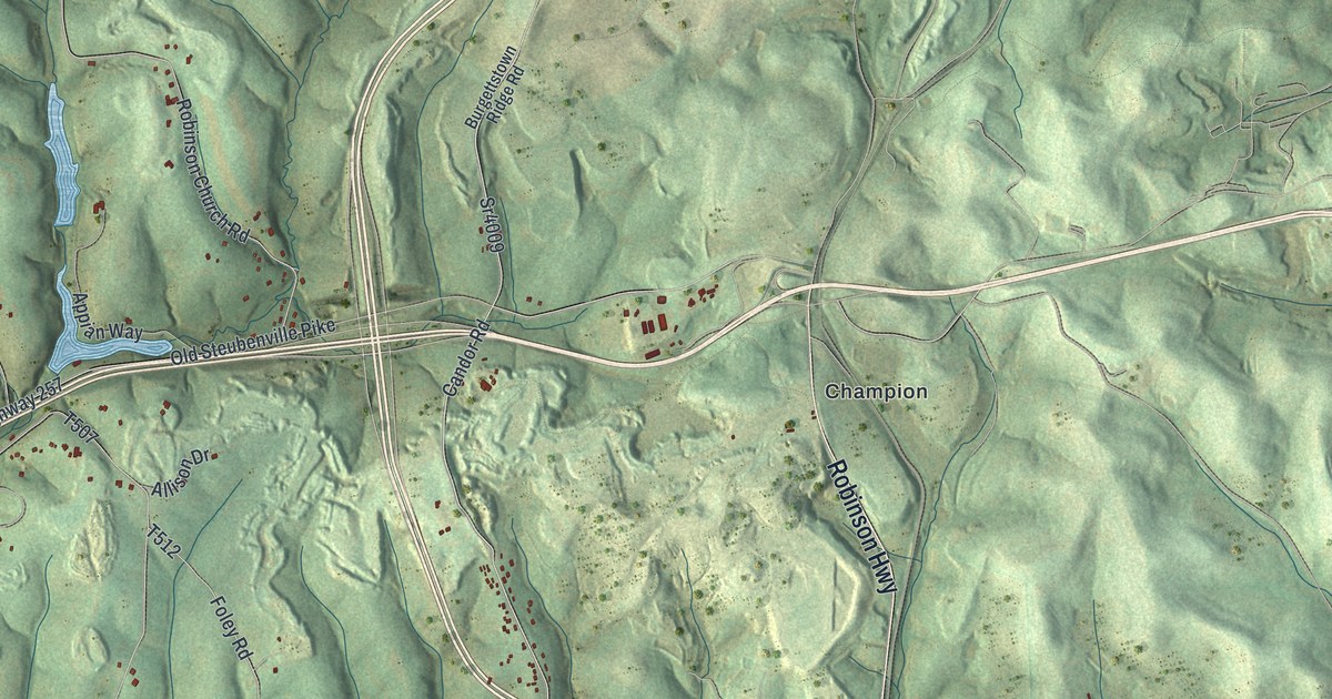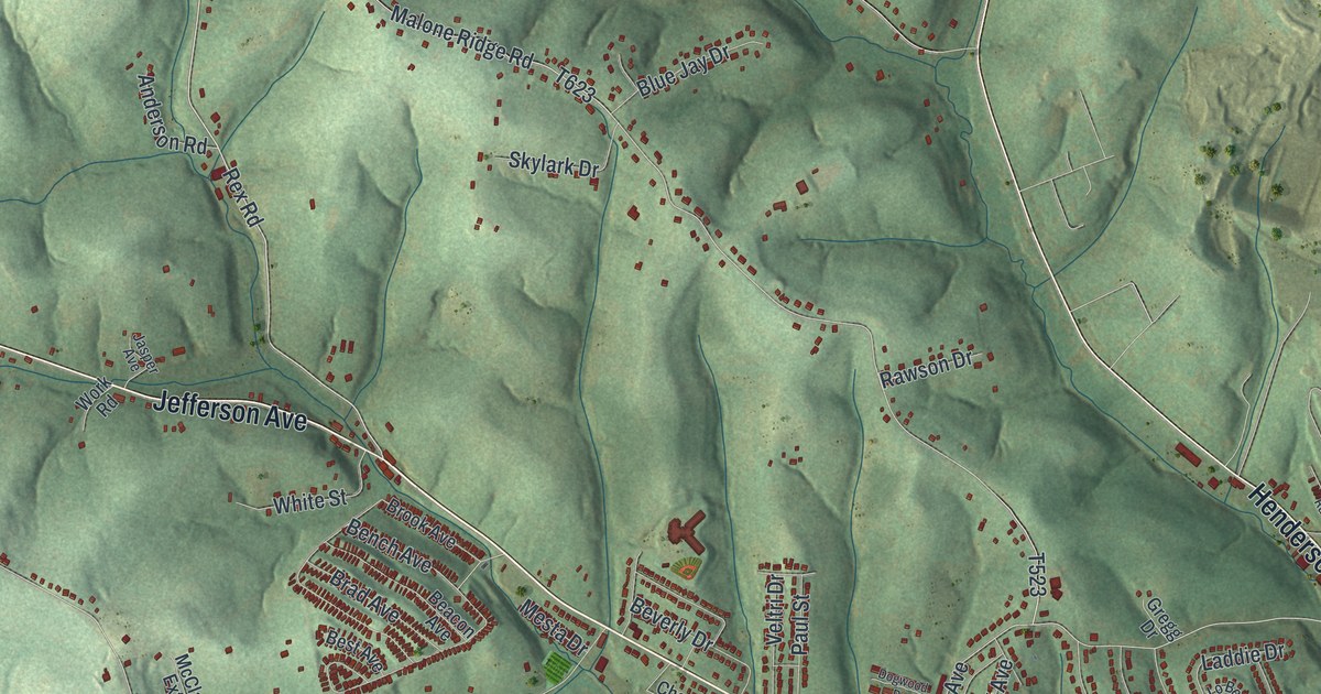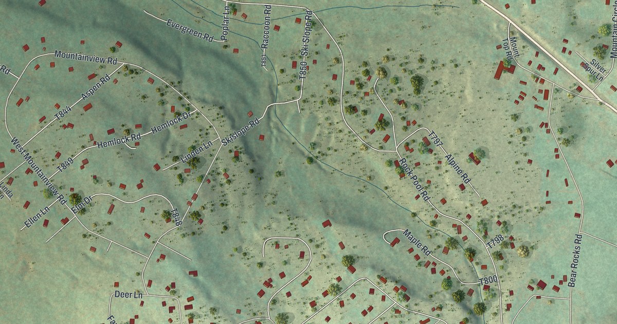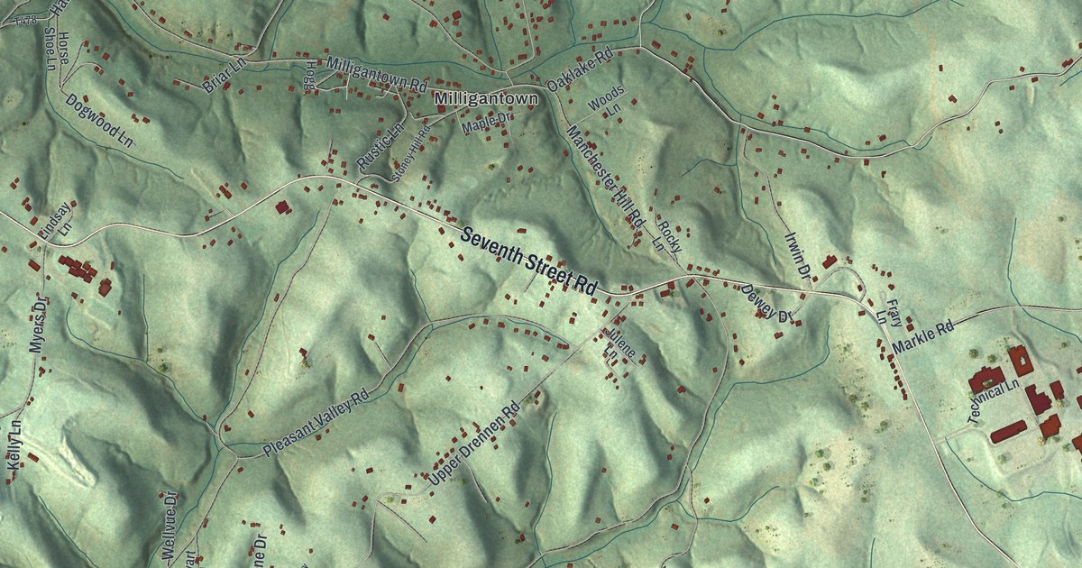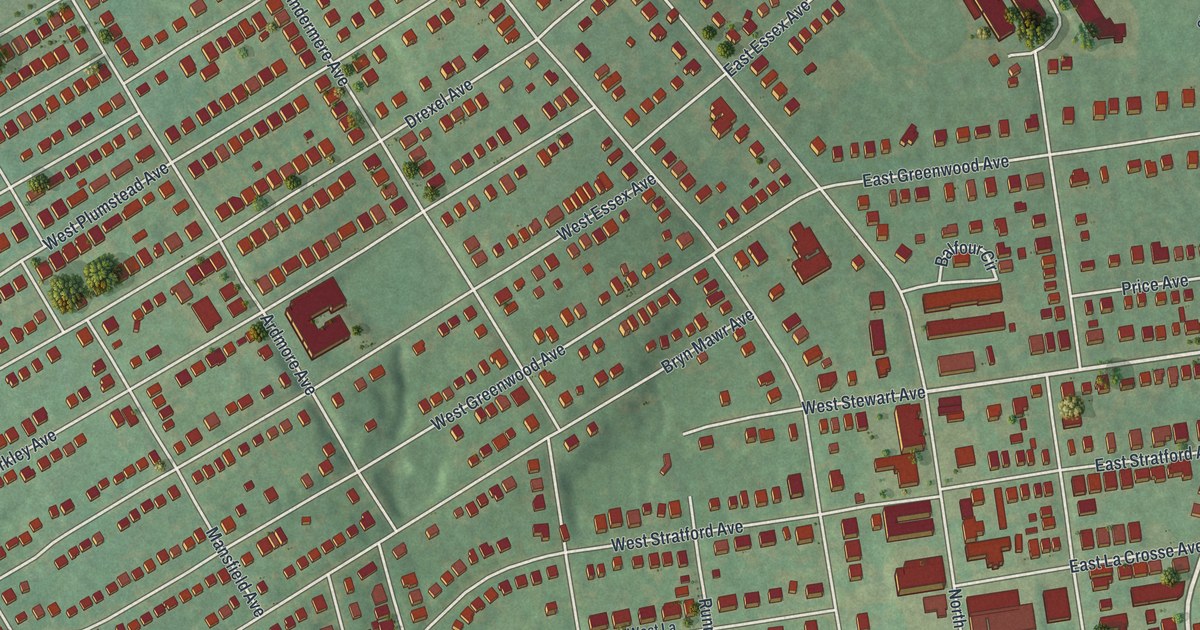
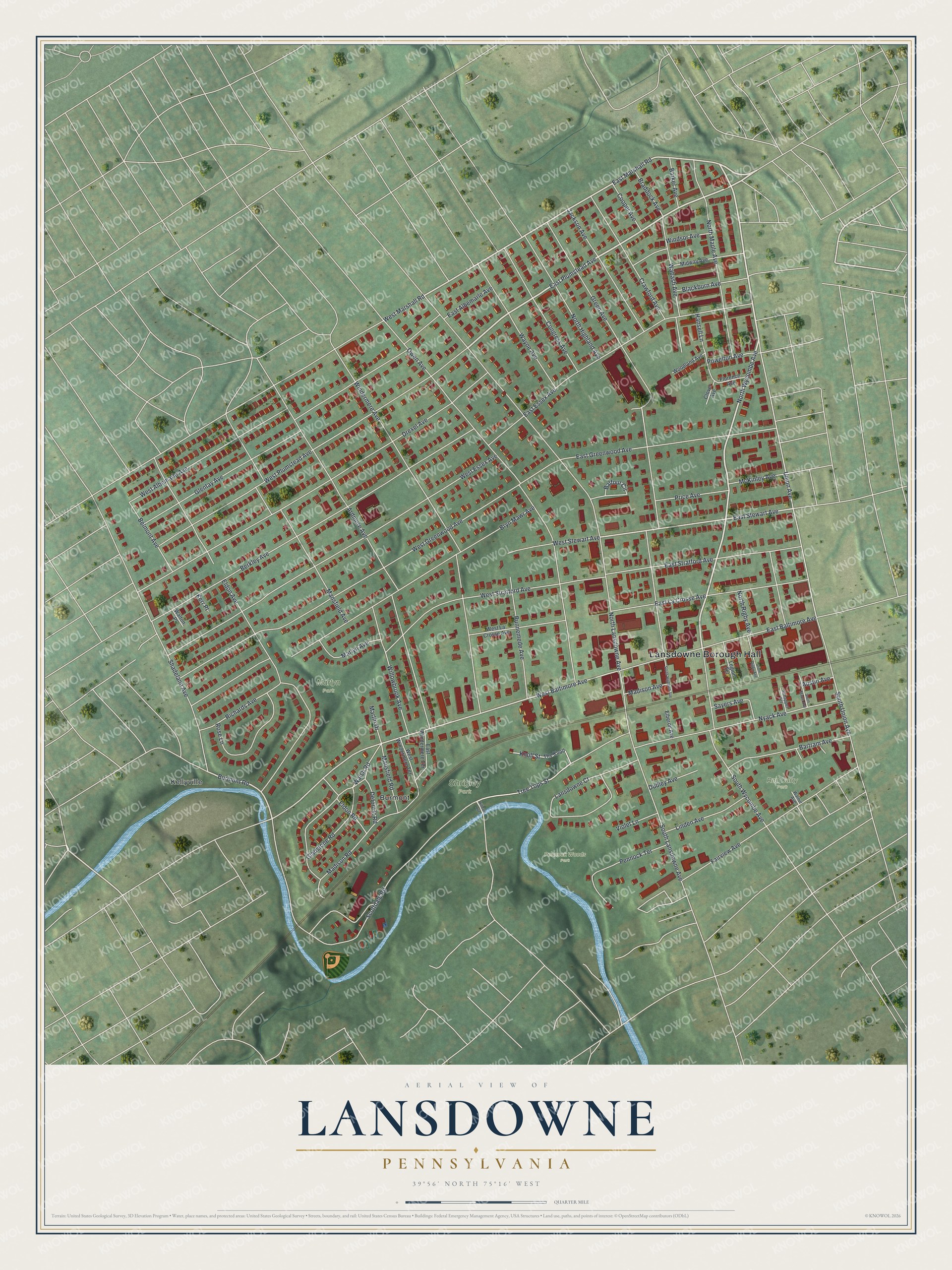
This beautifully detailed map of Lansdowne, Pennsylvania was created in 2026 using aerial imagery combined with modern topographical, census, street and landmark data. It’s a one-of-a-kind view of Lansdowne that combines accurate data with a vintage aesthetic. The map shows every building in its true location, many of the roads carry their names, and the shaded topographic relief shows the shape of the land.
Explore an aerial view of Lansdowne, Pennsylvania
On the map you’ll find Lansdowne Borough Hall, Pennock Woods Park, Shrigley Park, Marlyn Park, Rap Curry Park, Burmont, and Kellyville, along with North Wycombe Avenue, East Marshall Road, East Plumstead Avenue, Burmont Road, East Stewart Avenue, and more. If you look closely you can even find your house accurately drawn in its correct location. Zoom in on the preview to look for yours.
Take a closer look at the Lansdowne map
Street and place names on the Lansdowne, Pennsylvania map
These names are printed on the map of Lansdowne, Pennsylvania.
Places: Lansdowne Borough Hall, Pennock Woods Park, Shrigley Park, Marlyn Park, Rap Curry Park, Burmont and Kellyville.
Streets and roads: North Wycombe Avenue, East Marshall Road, East Plumstead Avenue, Burmont Road, East Stewart Avenue, West Baltimore Avenue, Union Avenue, Tree Tops Street, Scottdale Road, West Greenwood Avenue, North Lansdowne Avenue, West Essex Avenue.
More street names, A to Z
Ardmore Avenue, Austin Avenue, Balfour Circle, Barker Avenue, Bartram Avenue, Belmont Avenue, Berkley Avenue, Blackburn Avenue, Braddock Avenue, Bryn Mawr Avenue, Clover Avenue, Congress Avenue, Cooper Avenue, Crawford Avenue, Deforest Road, Drexel Avenue, Dudley Avenue, East Albemarle Avenue, East Baltimore Avenue, East Essex Avenue, East Greenwood Avenue, East La Crosse Avenue, East Stratford Avenue, East Windermere Terrace, Elberon Avenue, Eldon Avenue, Eldon Road, Fairview Avenue, Florence Avenue, Gladstone Road, Glentay Avenue, Green Avenue, Hansell Lane, Hilldale Avenue, Jackson Avenue, Kerr Place, Knoll Street, Lansdowne Court, Legion Terrace, Linden Avenue, Madison Avenue, Madison Road, Mansfield Avenue, Mansfield Road, Marlyn Avenue, Martin Drive, McKinley Avenue, Midway Avenue, North Highland Avenue, North Maple Avenue, North Rigby Avenue, Nyack Avenue, Owen Avenue, Pennock Terrace, Powelton Avenue, Price Avenue, Richards Avenue, Rose Lane, Runnemede Avenue, Sayers Avenue, Schappet Terrace, Shadeland Avenue, South Highland Avenue, South Lansdowne Avenue, South Maple Avenue, South Rigby Avenue, South Union Avenue, South Wycombe Avenue, The Knoll, Violet Lane, Wabash Avenue, Walnut Avenue, Walsh Road, Walton Place, Wayne Avenue, West Albemarle Avenue, West La Crosse Avenue, West Marshall Road, West Plumstead Avenue, West Stewart Avenue, West Stratford Avenue, West Windermere Terrace, Willowbrook Avenue, Windermere Avenue, Windsor Avenue, Woodland Avenue.
See the Lansdowne, Pennsylvania map on a wall
The Lansdowne map as an 18 x 24 inch print in a black frame.

This beautifully detailed map of Lansdowne makes an attractive addition to your office, library, or den, and it can even be used to teach children the geography and history of the area. It also makes a great gift for anyone who grew up in Lansdowne or moved away. When you’re done exploring, click here to get your copy of the Lansdowne map.