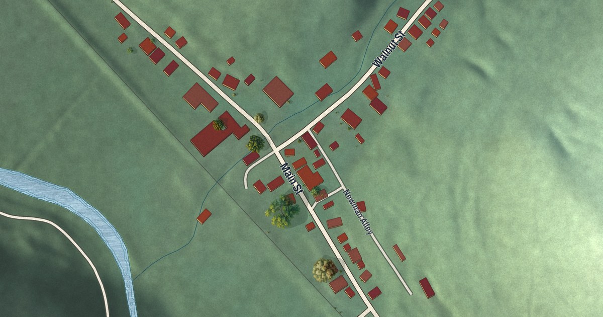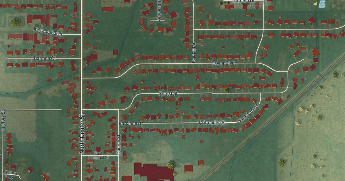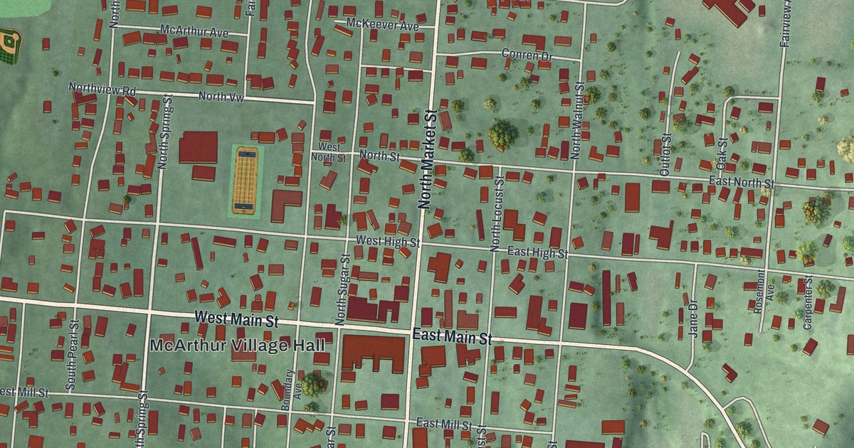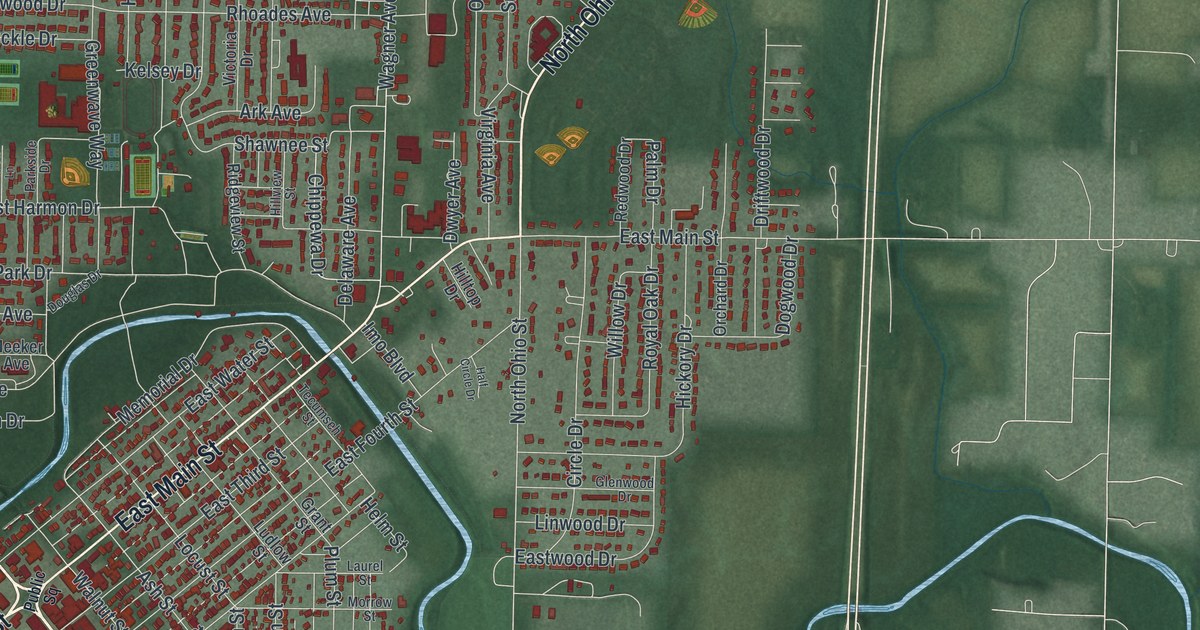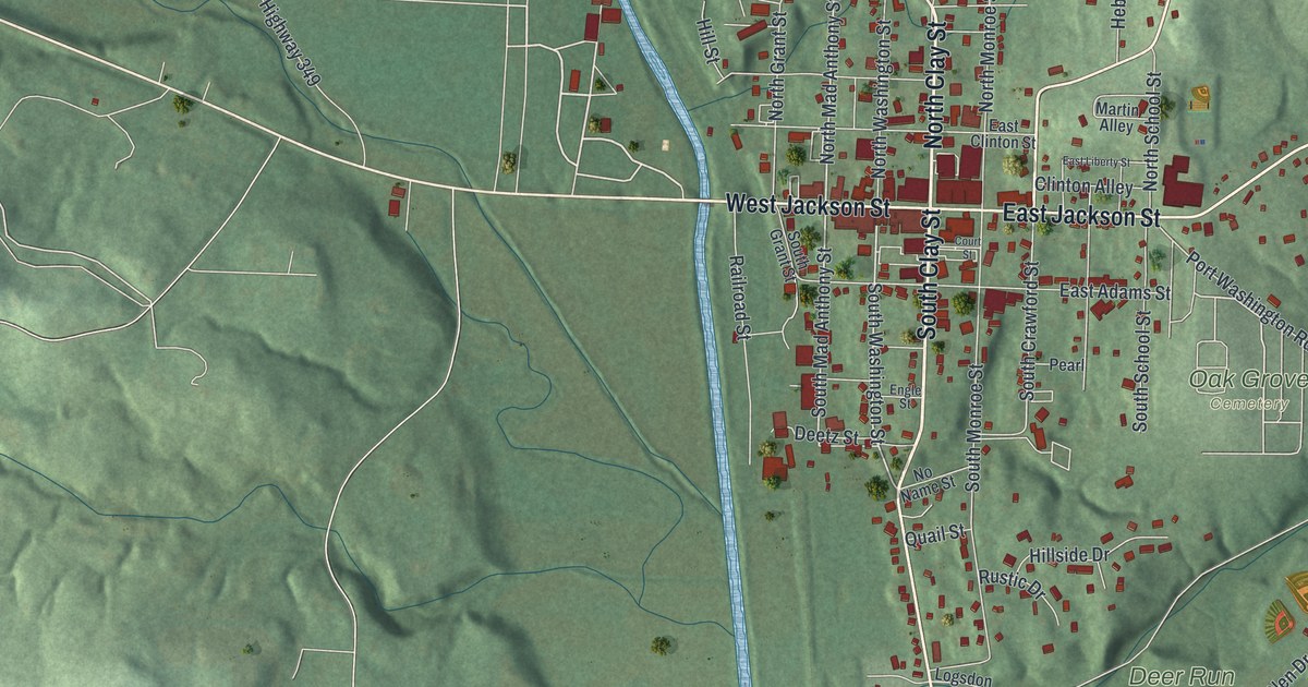
If you grew up near the courthouse square in Millersburg, or your family still lives off Clay Street, this map is for you. It's a new aerial view of Millersburg in Holmes County, Ohio, made from modern data and given a vintage feel. Green hills rise on both sides of a wide valley. A thin blue stream winds down the valley floor. The town's streets and red buildings sit along the valley, with Clay Street and Washington Street among the names printed on it.
The Courthouse Square and the Millersburg Gazette
On this map you'll find North Clay Street, South Clay Street, West Jackson Street, East Jackson Street, Wooster Road, Massillon Road, Port Washington Road, Court Street, Railroad Street, Hebron Street, Oak Grove Cemetery, Deer Run Park, Old Airport Park, Fire Ridge Golf Course, and more. Each red shape is a building, so zoom in on the preview and look for yours.
Millersburg is where Holmes County keeps its courthouse. The Holmes County Courthouse and Jail stand on Courthouse Square. Both were added to the National Register of Historic Places in 1974. The town has long been a place for news, too. Henry Howe wrote about it in his Historical Collections of Ohio. He said the county's first newspaper, the Millersburg Gazette, was printed here on June 9, 1828.
Millersburg in 1846
Howe also gave a picture of the town in 1846. It had four churches and two newspaper printing offices. There were 10 dry goods stores and 3 grocery stores. There was a foundry and a grist mill. That year, 673 people lived here, and the 2020 census counted 3,151. Several old homes and churches on North Clay Street and North Washington Street are on the National Register today. They include the Hiram W. Cary House, the John E. Koch Jr. House and the Disciple-Christian Church, all listed in 1984.
A Millersburg Map for Your Wall
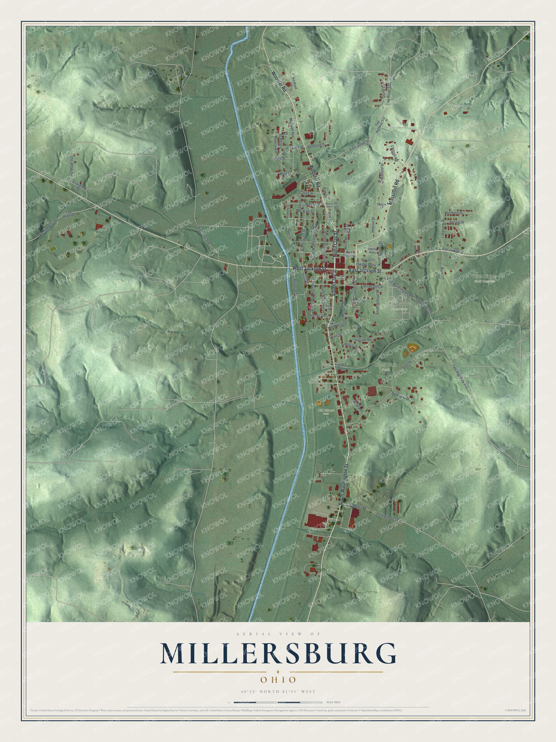
Created by KNOWOL in 2026, this print shows Millersburg in soft greens, with shaded hills, a blue stream and small red buildings. The cream title panel reads "Aerial View of Millersburg, Ohio" with the coordinates 40°33' North 81°55' West.
It fits a living room, a hallway or a home office. It makes a warm gift for anyone who grew up near the courthouse square, or who knows Fire Ridge Golf Course and Oak Grove Cemetery by name. Open the preview and find your street. See sizes and frames for the Millersburg map.