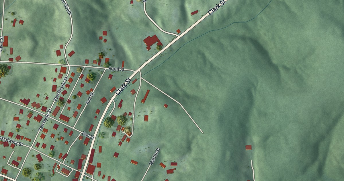
If you grew up in New Straitsville, or your family mined coal in these hills, this map is for you. It's a modern aerial view of New Straitsville in Perry County, Ohio, made from modern data and given a vintage feel. Steep green hills fold around the village on every side. Main Street and Clark Street meet near the middle, and small red buildings climb the slopes around them.
The 1884 Mine Fire at New Straitsville
On this map you'll find Main Street, Clark Street, Plummer Hill Road, Salem Hollow Road, Cunningham Street, West Pine Street, East Ewing Street, Harrison Street, Van Hyde Street, Moss Street, Gardner Street, Vine Street, Oaklahoma Addition, and more. Each red shape is a building, so zoom in on the preview and look for yours.
New Straitsville is best known for its mine fire. The Hocking Valley Coal Strike began in June 1884. Mine owners brought in new workers to take the strikers' jobs. On October 11, 1884, unknown men pushed burning mine cars into six mines around the town. The owners tried to plug every crack in the ground, but it didn't work. The World's Greatest Mine Fire marker from the Ohio History Connection tells what came next. Over the years, the ground sank under buildings and roads. Gas seeped into schools and homes, and some families had to leave. Potatoes baked in the warm soil, and roses bloomed in winter. At times the flames rose 100 feet and could be seen five miles away.
Robinson's Cave and Christopher Evans
The miners met in the hills, too. South of town is Robinson's Cave, a big room of rock that carries sound well. Large groups of miners met there in secret, starting around 1870. Christopher Evans, a union leader who lived in New Straitsville, led the miners from the cave during the strike. The marker says the plan to set the mines on fire was also made there, by miners outside the union. Evans later helped start the United Mine Workers of America in 1890. He's buried in the New Straitsville Joint Cemetery. Today the town's history museum, Dunkle Hall, stands on Main Street behind the fire department.
Coal Country in 1891
Coal built this town. In 1891, Henry Howe wrote that the largest veins of coal in the state were found here. He also passed along a visitor's view: a stranger saw a few houses on half a dozen ridges and only two main streets. On the map, you can see the hills around the village, with Main Street and Clark Street running through it.
New Straitsville, from Plummer Hill Road to Salem Hollow Road
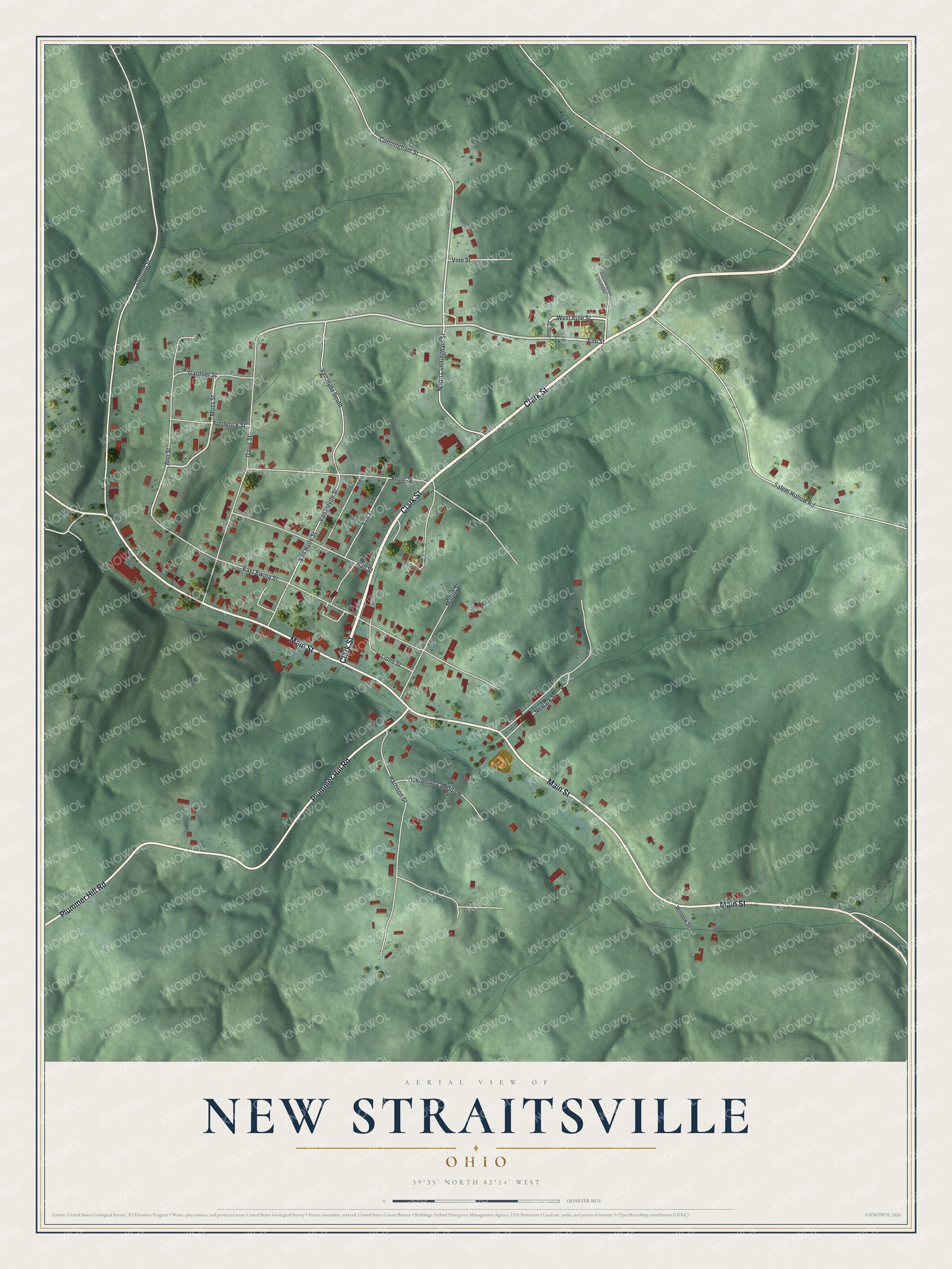
Created by KNOWOL in 2026, this print shows New Straitsville's green, shaded hills with pale roads and small red buildings. The title panel at the bottom reads "Aerial View of New Straitsville, Ohio" with the coordinates 39°35' North 82°14' West.
It fits a living room, a den or a hallway. It's a good gift for someone who remembers the New Straitsville School on Clark Street, or who grew up on Main Street and moved away. Open the preview and find the street you know. See sizes and frames for the New Straitsville map.