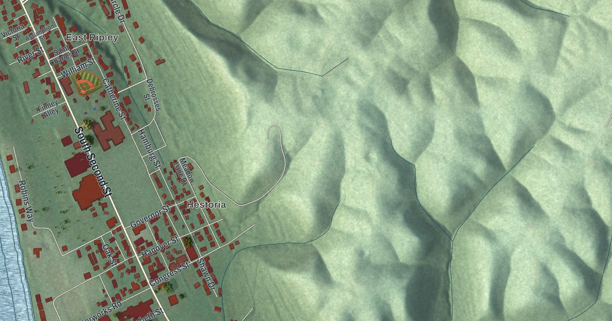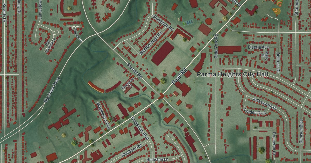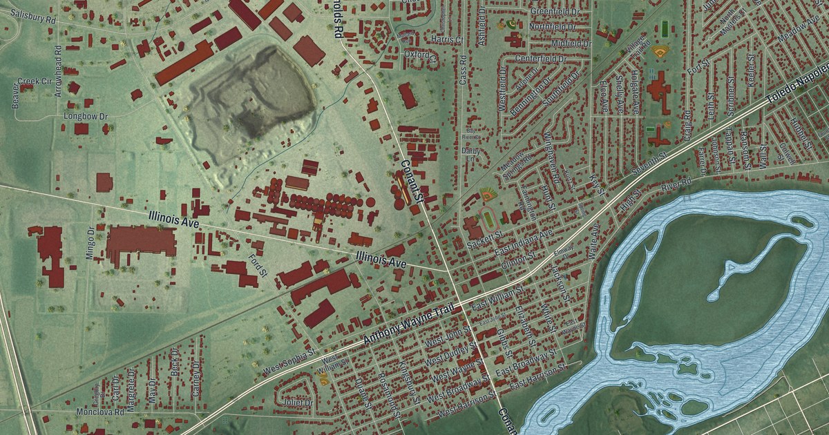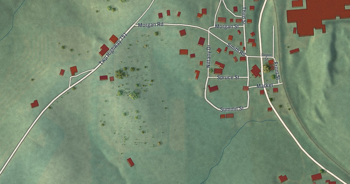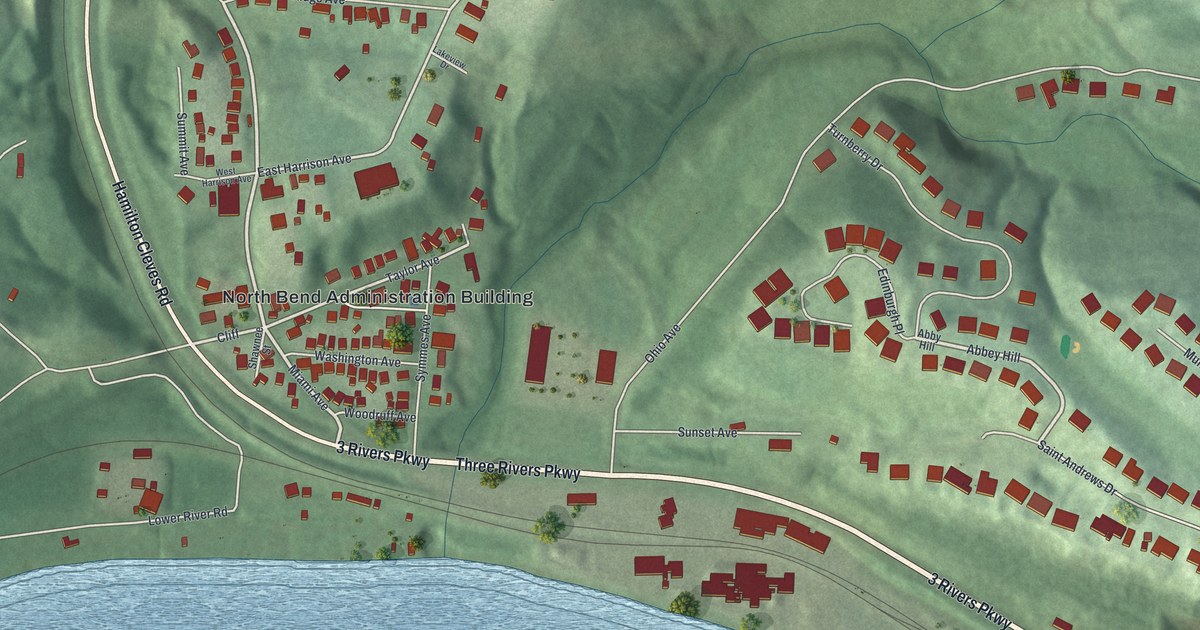
If you grew up on the hills above Three Rivers Parkway, or your family still lives in North Bend, this map shows the place you know. It's a new aerial view of North Bend in Hamilton County, Ohio, built from modern data and given a vintage look. Green hills rise behind the village. Small red buildings line the streets around the North Bend Administration Building. A wide blue river runs across the bottom of the sheet.
Three Rivers Parkway, Miami Avenue and the Hills Above
On this map you'll find Three Rivers Parkway, Hamilton Cleves Road, Miami Avenue, Washington Avenue, East Harrison Avenue, West Harrison Avenue, Symmes Avenue, Taylor Avenue, Ridge Avenue, Cliff Road, Congress Green Road, Ohio Avenue, Saint Andrews Drive, Lower River Road, the North Bend Administration Building, and more. Each red shape is a building, so zoom in on the preview and look for yours.
Where President William Henry Harrison Lived
North Bend was home to William Henry Harrison, the ninth president of the United States. A Remarkable Ohio marker from the Ohio History Connection tells his story. In the War of 1812, he led the Army of the Northwest. He beat British and Native American forces at the Battle of the Thames. After the war, he came to live in North Bend. Here he turned to politics. He served Ohio in Congress for two terms. In 1840, the Whigs nominated him for president against Martin Van Buren, building on his fame as a war hero. He gave a long speech when he took office. Soon after, he got pneumonia. He died on April 4, 1841. His body was brought back to North Bend to be buried. The Harrison name still shows up on the map, on East Harrison Avenue and West Harrison Avenue.
A second marker stands where Cliff Road meets Congress Green Road, on the left side of the map. It marks Congress Green Cemetery. The land first belonged to the Harrison family. Until about the Civil War, people called it "The Pasture Graveyard." Many members of the Harrison and Symmes families were buried there, and Symmes Avenue is on the map too. The graveyard was used until 1884. That year, Maple Grove Cemetery opened as the township cemetery.
A North Bend Map for Your Wall

Created by KNOWOL in 2026, this print shows North Bend with soft green shaded hills, buildings in red, streets in white and a wide blue river along the bottom. The title panel reads "Aerial View of North Bend, Ohio" with the coordinates 39°09' North 84°45' West.
It fits well in a living room, a hallway or a home office. It's a kind gift for a neighbor on Saint Andrews Drive, or for someone who moved away and still thinks of the hills above Three Rivers Parkway. Open the preview and look for your street. See sizes and frames for the North Bend map.