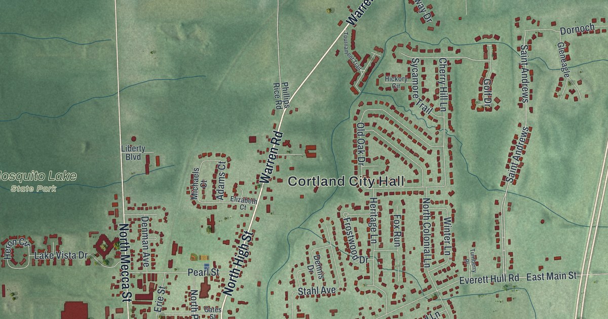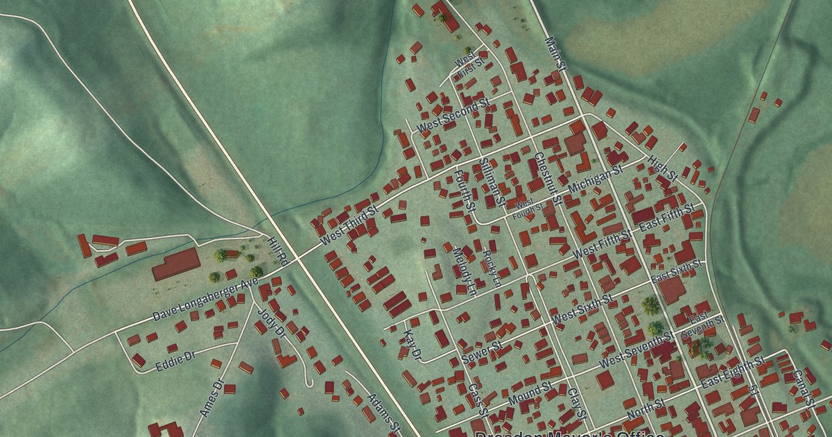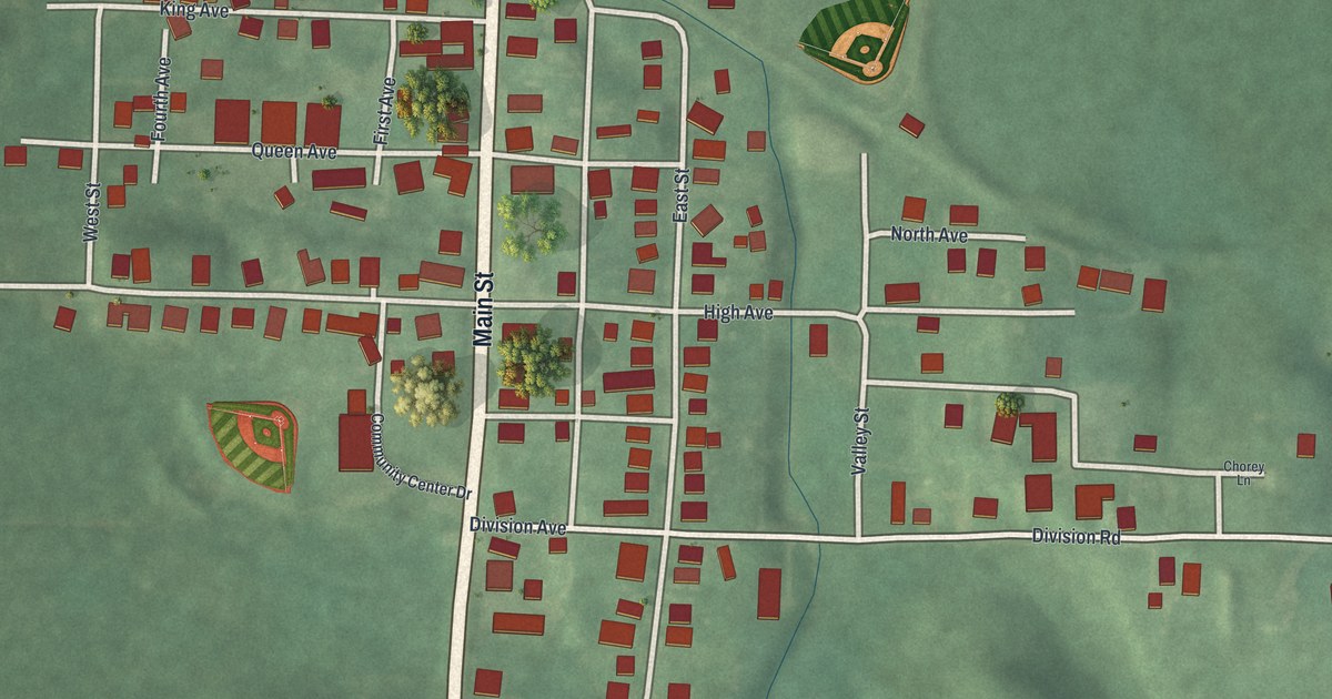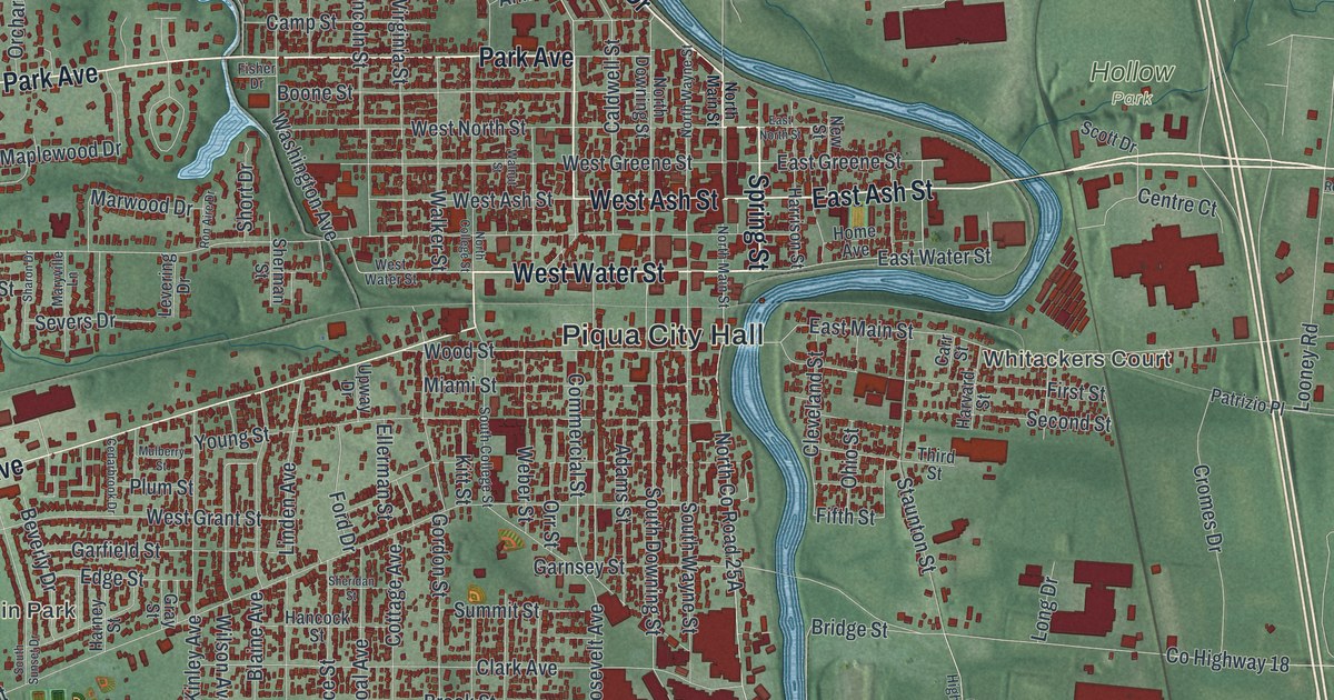
If you grew up in Piqua, went to school here, or still have family near Park Avenue, this map gives you a lot to find. It's a modern aerial view of Piqua in Miami County, Ohio, built from modern data and printed with a vintage feel. The river bends through the middle of the sheet, and the old downtown grid sits on its west bank in deep red. Thousands of buildings are drawn, many roads are named, and the shaded green farmland runs out to the edges.
Piqua City Hall, Park Avenue and Landin Park
Start at Piqua City Hall, printed near the middle of the sheet. Broadway Street runs north from it, up past Park Avenue toward Riverside Drive. Now follow Park Avenue west. Caldwell Street crosses it right by downtown. Farther west come Walker Street and Washington Avenue, and Park Avenue keeps going to Westview Drive on the west side of town. Piqua Clayton Road heads west from Westview Drive, and North Sunset Drive is printed on that side of town too. Back downtown, Covington Avenue runs west out of the grid. Below it, South Street, Clark Avenue and Young Street cross Gordon Street and Linden Avenue. Landin Park is printed near where South Street meets Glenwood Avenue.
Cross the river and you're on the east side. The wide blue river down the middle is the Great Miami, and you can't miss it. East Ash Street heads east from the river. Just south of it, Whitackers Court is printed near the water, and Garbry Road runs east from there. Looney Road runs north from there to Sidney Road and the streets around Ottawa Circle and Tomahawk Trail. Troy Sidney Road runs the whole right side of the sheet, top to bottom. Near the bottom edge, Farrington sits beside the river on Farrington Road. Each red shape is a building, so zoom in on the preview and look for yours.
Huntersville, the village Piqua took in during 1893
The east side has its own story. An Ohio historical marker at East Main Street and First Street tells it. In 1797, John and Elizabeth Hilliard bought what had been Shawnee land there from Judge John Symmes, the biggest land speculator in Ohio. Then Symmes fell behind on his own payments. The Hilliards had to buy their land a second time, from the federal government. Their plan for a town called Hilliardstown fell apart in 1799. David Hunter bought the empty site in 1833. He surveyed it again in 1838, with eighteen lots on two streets, and called it Huntersville. The village incorporated in 1848. When Piqua annexed it in 1893, Huntersville had more than 760 people, its own school system, a volunteer fire department, gas lights, and a mix of saloons, boarding houses and grocery stores. East Main Street and First Street, where the marker stands, are both printed on the map on the east bank near the middle of the sheet.
Lock Nine on East Water Street and the Atomic City
Two more markers stand on printed streets. One is at Lock Nine, on East Water Street. The limestone lock was finished in 1837. It tied Piqua to Cincinnati by the Miami and Erie Canal, and to Toledo by 1845. German immigrants came up the canal from Cincinnati and settled within five blocks of the lock. Factories used it for water power and made flannel, flour and flax seed. The lock kept working until the flood of 1913 destroyed it. The other marker is on South Main Street, on the west bank of the river. The Piqua Nuclear Power Facility there was the first nuclear power plant of any kind run by a city utility. It started up in 1963, and for a few years the town called itself The Atomic City. The reactor shut down in 1966, and the last of its buildings came down in 2023.
For someone who knows Broadway Street and Park Avenue
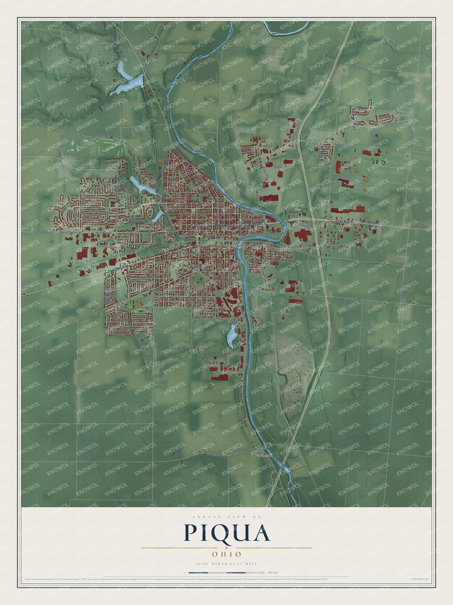
Created by KNOWOL in 2026, the print is built from USGS elevation data and records of roads and buildings. Piqua shows in deep red on soft green farmland, with the river in pale blue down the middle. The title panel reads "Aerial View of Piqua, Ohio" with the coordinates 40°09' North, 84°15' West and a one-mile scale bar.
It suits an office, a den, a kitchen wall or a classroom. It's a good gift for someone who grew up in Piqua, went to Piqua High School, or moved away and still asks about home. Open the watermarked preview, find your street, and pick your print on the product page. See sizes and frames for the Piqua map.