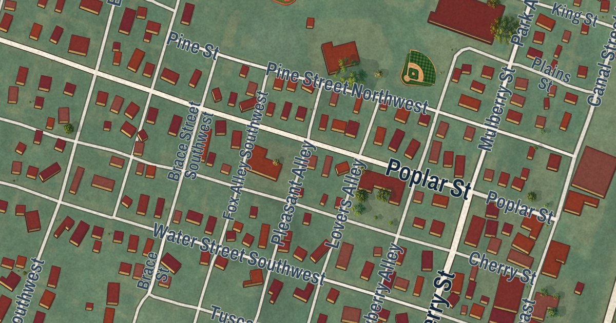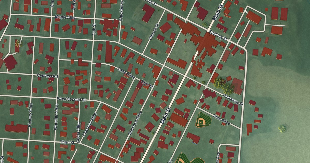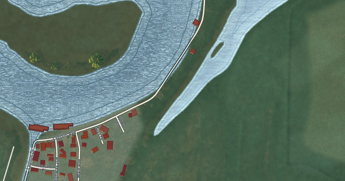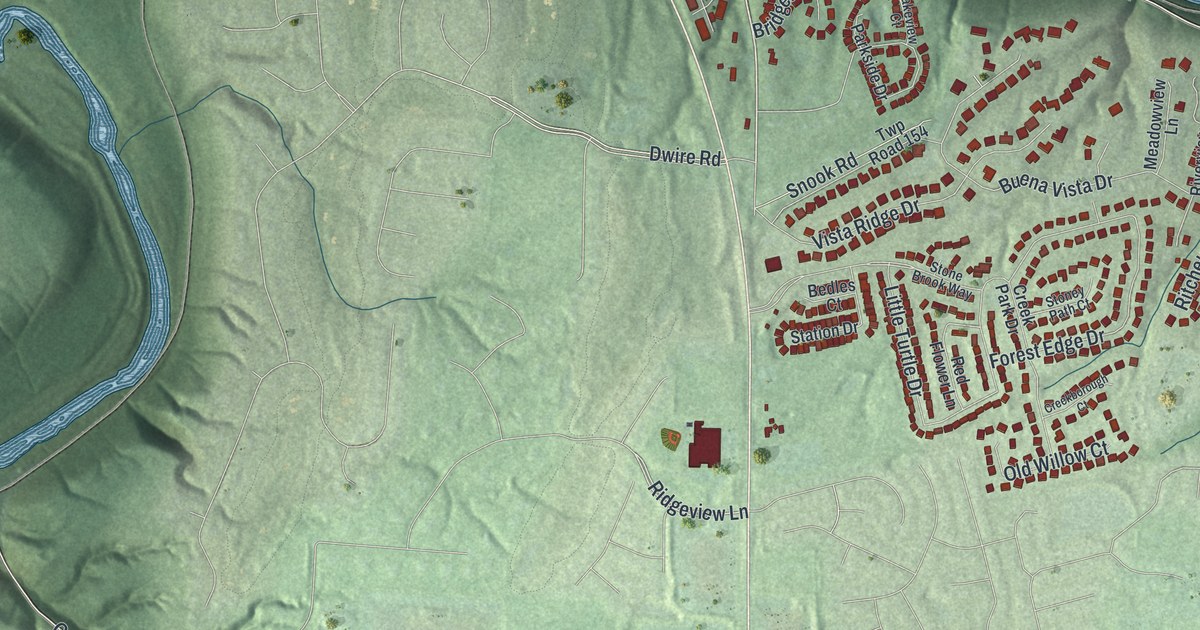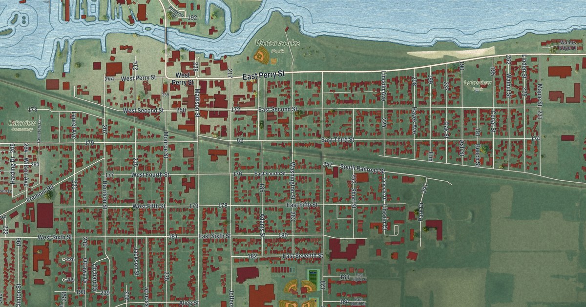
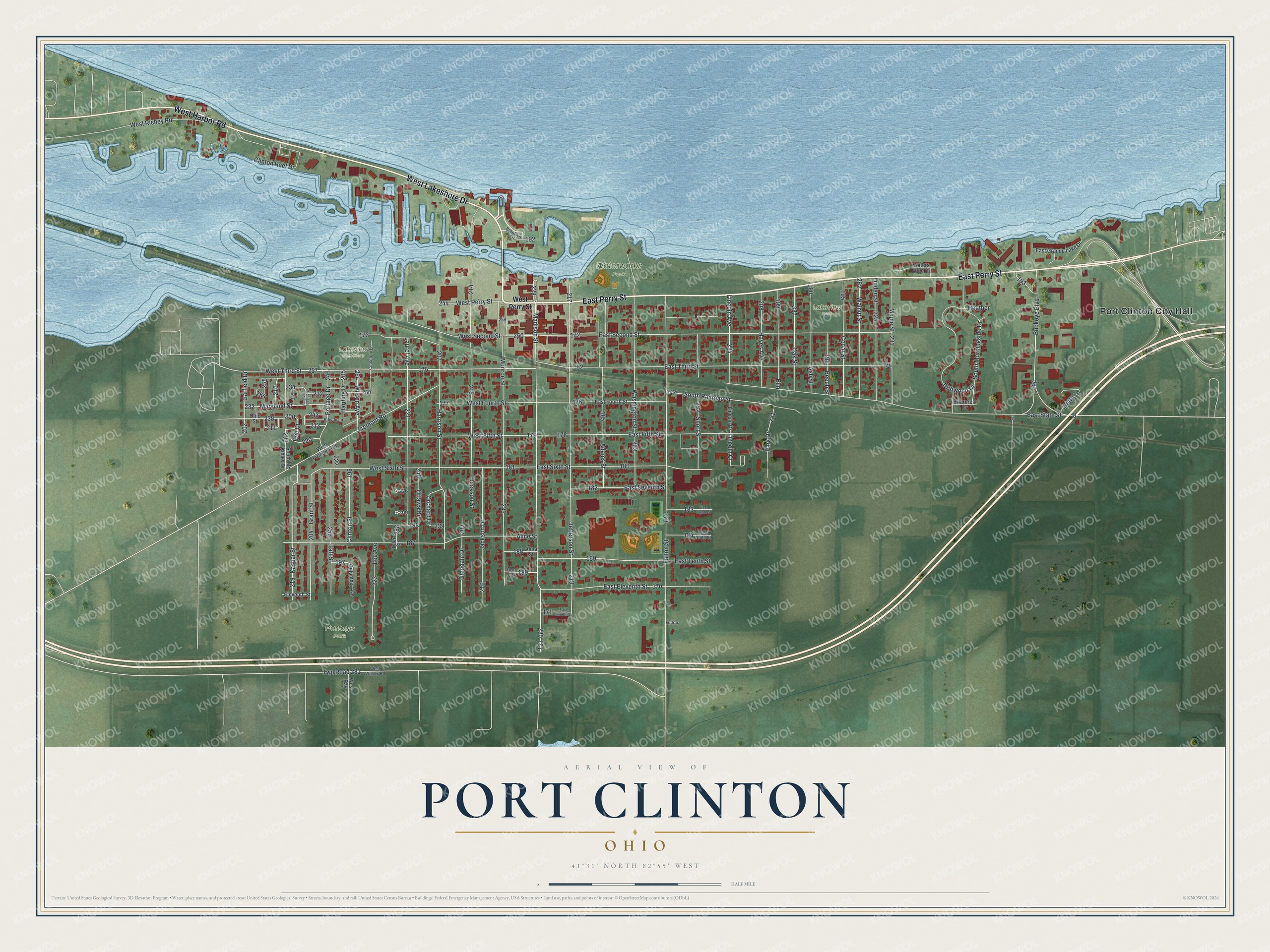
This beautifully detailed map of Port Clinton, Ohio was created in 2026 using aerial imagery combined with modern topographical, census, street and landmark data. It’s a one-of-a-kind view of Port Clinton that combines accurate data with a vintage aesthetic. The map shows every building in its true location, many of the roads carry their names, and the shaded topographic relief shows the shape of the land.
Explore an aerial view of Port Clinton, Ohio
On the map you’ll find Port Clinton City Hall, Waterworks Park, Lakeview Park, Portage Park, and Lakeview Cemetery, along with East Perry Street, West Lakeshore Drive, West Harbor Road, West Perry Street, West Third Street, Buckeye Boulevard, Grant Street, and more. If you look closely you can even find your house accurately drawn in its correct location. Zoom in on the preview to look for yours.
Did you know this piece of Port Clinton, Ohio history?
From Remarkable Ohio: "Port Clinton is home to the present Ottawa County Courthouse, completed on May 20, 1901 and listed on the National Register of Historic Places in 1974. Constructed in the Richardson Romanesque style, the exterior of the courthouse was built using sandstone quarried at Amherst, Ohio."
Take a closer look at the Port Clinton map
Street and place names on the Port Clinton, Ohio map
These names are printed on the map of Port Clinton, Ohio.
Places: Port Clinton City Hall, Waterworks Park, Lakeview Park, Portage Park and Lakeview Cemetery.
Streets and roads: East Perry Street, West Lakeshore Drive, West Harbor Road, West Perry Street, West Third Street, Buckeye Boulevard, Grant Street, Kaspar Street, Fremont Road, Lincoln Avenue, Clinton Reef Drive, Lincoln Court.
More street names, A to Z
Adams Street, Alice Street, Alma Street, Ann Street, Ash Street, Beech Street, Betty Lane, Briarcrest Drive, Brooklyn Street, Cedar Street, Cemetery Lane, Clinton Street, Columbia Avenue, Driftwood Drive, East Eighth Street, East Eleventh Street, East Fifth Street, East Fourth Street, East Grande Lake Drive, East Ninth Street, East Second Street, East Seventh Street, East Sixth Street, East State Street, East Tenth Street, East Third Street, East Twelfth Street, Edison Lane, Eleventh Street, Elm, Erie Court, Fulton, Fulton Street, Garfield Drive, Glendale Drive, Harding Drive, Harrison Street, Hayes Avenue, Heather, Jackson Drive, Jackson Street, Jefferson Street, Laurel Avenue, Lee Avenue, Lincoln Drive, Linden Street, Madison Street, Maple Street, Maryland Street, Michigan Street, Monroe Street, Oak Street, Ohio Street, Orchard Drive, Ottawa Drive, Park Drive, Portage Drive, Short Street, South Mc Kinley Drive, South Morningside Drive, South Railroad Street, Taft Street, Twp Road 281, Tyler Street, Walnut Street, Washington Street, Waters Edge Drive, West Bay, West Fifth Street, West Fourth Street, West Fremont Road, West Richey Road, West Second Street, West Sixth Street, West Wilcox Road, Wilson Avenue.
See the Port Clinton, Ohio map on a wall
The Port Clinton map as an 18 x 24 inch print in a black frame.

This beautifully detailed map of Port Clinton makes an attractive addition to your office, library, or den, and it can even be used to teach children the geography and history of the area. It also makes a great gift for anyone with Port Clinton roots. When you’re done exploring, click here to get your copy of the Port Clinton map.