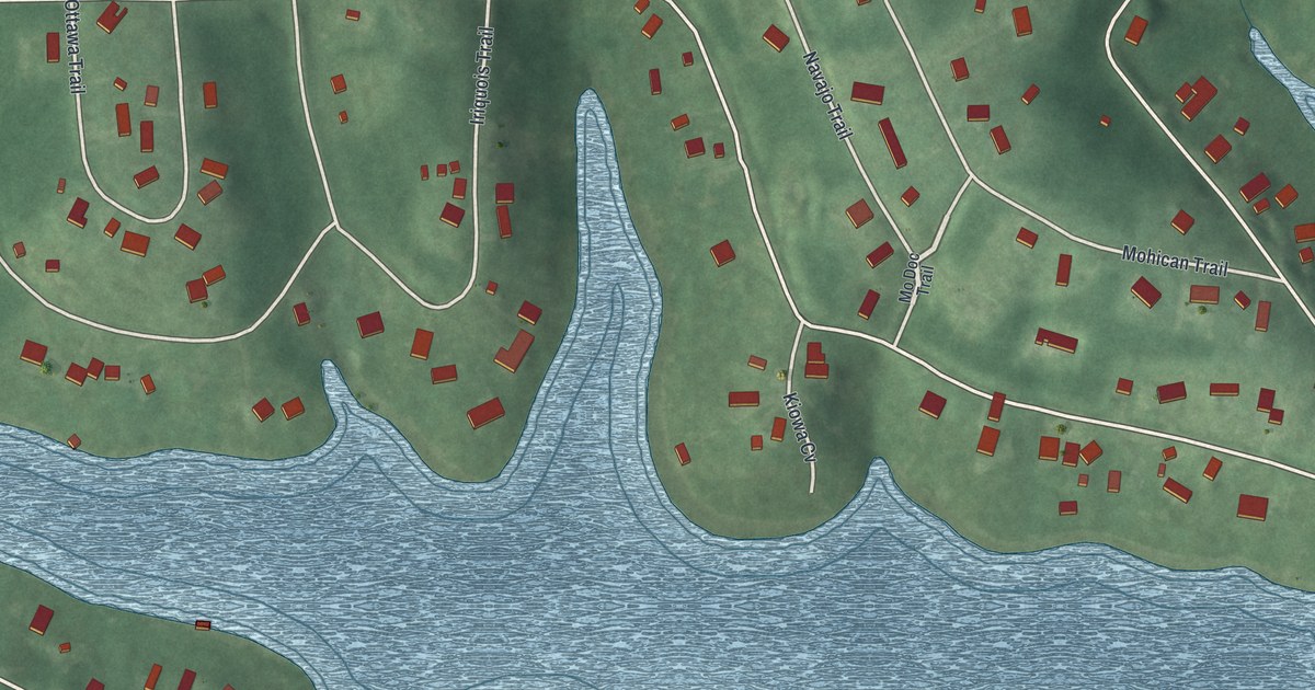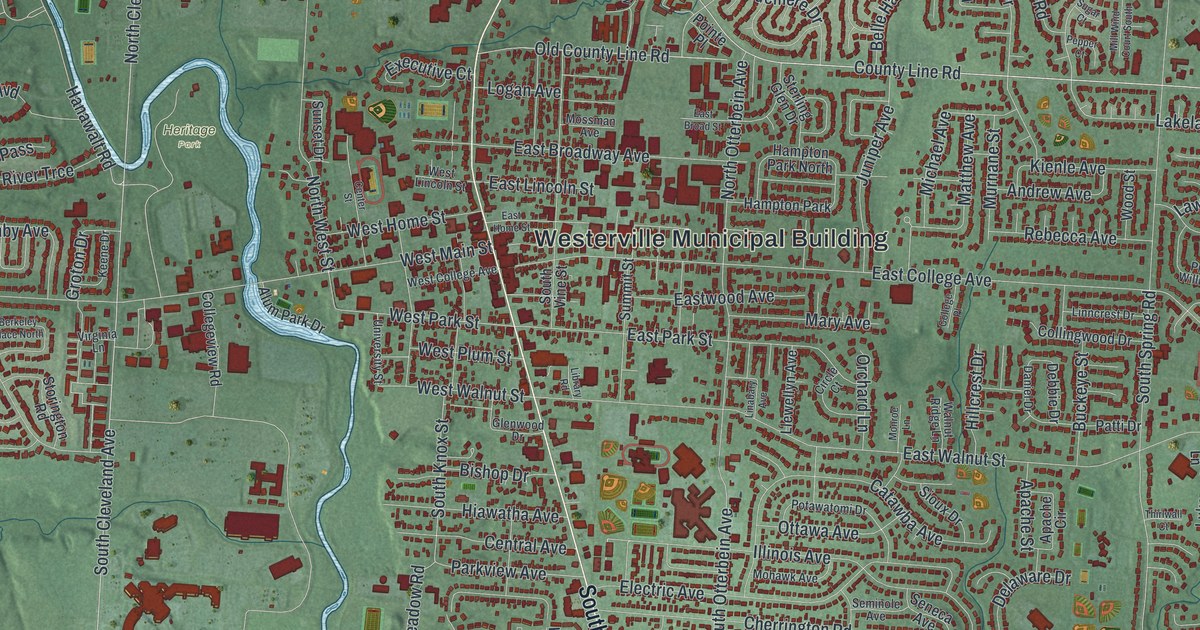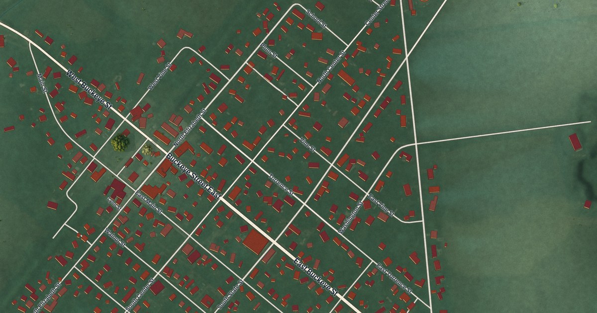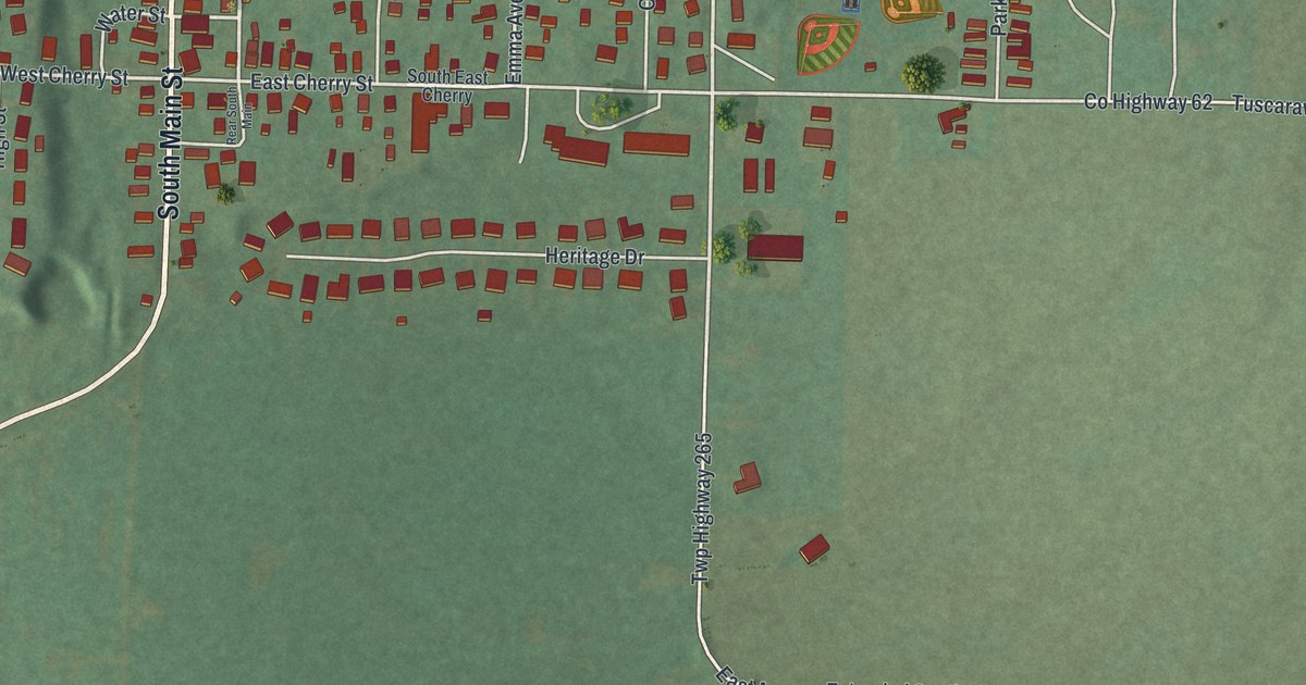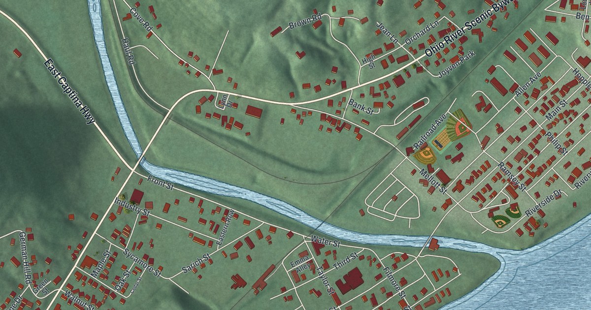
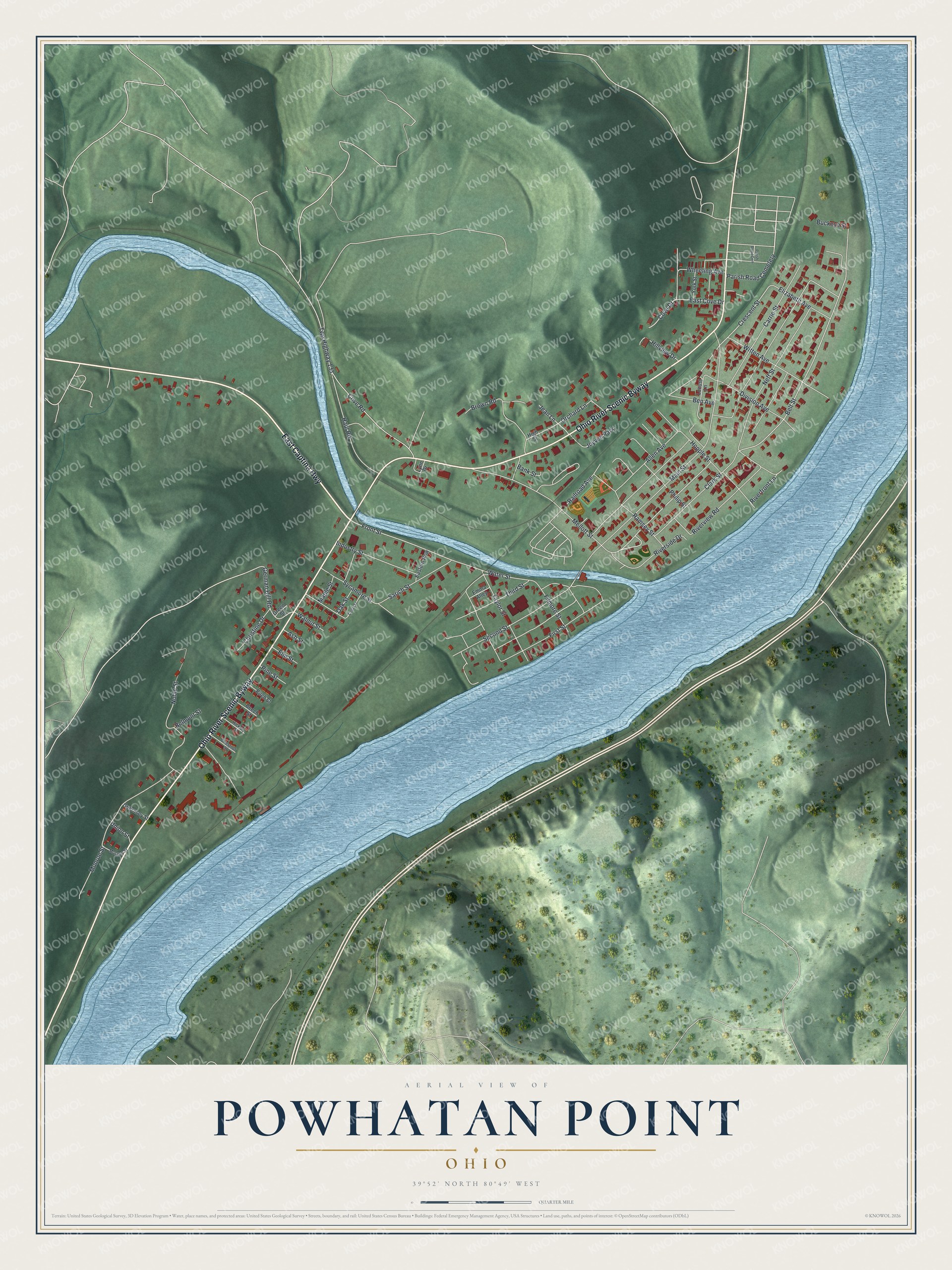
This beautifully detailed map of Powhatan Point, Ohio was created in 2026 using aerial imagery combined with modern topographical, census, street and landmark data. It’s a one-of-a-kind view of Powhatan Point that combines accurate data with a vintage aesthetic. The map shows every building in its true location, many of the roads carry their names, and the shaded topographic relief shows the shape of the land.
Explore an aerial view of Powhatan Point, Ohio
On the map you’ll find Ohio River Scenic Byway, along with East Captina Highway, Belt Street, Railroad Avenue, Front Street, German Hill Road, Crescent Street, Main Street, Mellott Street, Cove Road, Twp Highway 133, Monroe Street, and more. If you look closely you can even find your house accurately drawn in its correct location. Zoom in on the preview to look for yours.
Did you know this piece of Powhatan Point, Ohio history?
Powhatan Point grew up on the Ohio River at the mouth of Captina Creek. Its first building was a store, built by a grandson of pioneer settler Archibald Woods. A log hotel known as the Point House opened in 1825. Later the Boger Brothers put up the first brick building, the Powhatan Flour Mills and Woolen Factory. That’s from the 1903 Centennial History of Belmont County, Ohio.
Take a closer look at the Powhatan Point map
Street and place names on the Powhatan Point, Ohio map
These names are printed on the map of Powhatan Point, Ohio.
Places: Parish Road Cemetery and Joyven Park.
Streets and roads: East Captina Highway, Ohio River Scenic Byway, Belt Street, Railroad Avenue, Front Street, German Hill Road, Crescent Street, Main Street, Mellott Street, Cove Road, Twp Highway 133, Monroe Street.
More street names, A to Z
Allen Avenue, Ash Street, Bank Street, Beech Street, Belmont Street, Ben Avenue, Birch Street, Brown Road, Buckeye Street, Carrie Street, Cedar Street, Chestnut Street, Christine Drive, Clark Street, Cove Drive, Division Avenue, East Cove Drive, Eastern Row, Elizabeth Avenue, Elm Street, Emma Alley, Filmore Street, First Street, Green Street, Guernsey Street, Haul Road, Hickory Street, High Street, Hillview Drive, Hopple Street, Industry Street, Jean Lane, Locust Lane, Lynn Drive, Maple Street, Morgan Street, Neff Street, Noble Street, Oak Street, Orchard Lane, Parish Road Cem, Philip Street, Pine Street, Ramsey Street, Riverfront Lane, Riverside Drive, Riverview Road, Sarich Street, Second Street, Sycamore Street, Taylor Street, Third Street, Union Street, Walnut Street, Water Street, Wheeling Avenue, Witten Avenue, York Street.
See the Powhatan Point, Ohio map on a wall
The Powhatan Point map as an 18 x 24 inch print in a black frame.

This beautifully detailed map of Powhatan Point makes an attractive addition to your office, library, or den, and it can even be used to teach children the geography and history of the area. It also makes a great gift for anyone who grew up in Powhatan Point or moved away. When you’re done exploring, click here to get your copy of the Powhatan Point map.