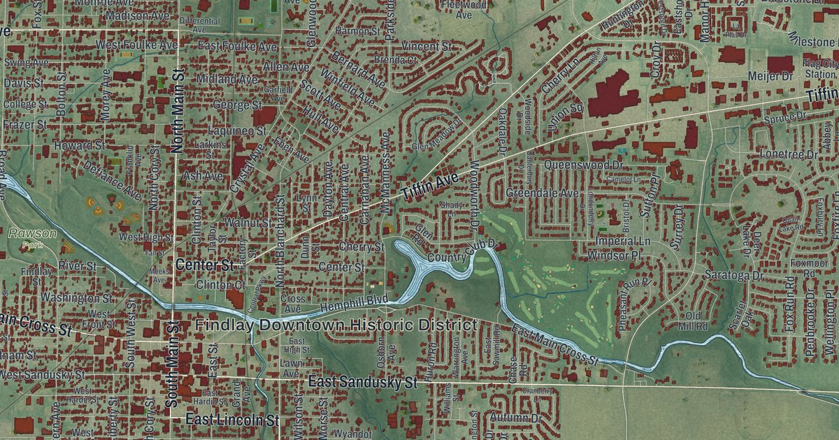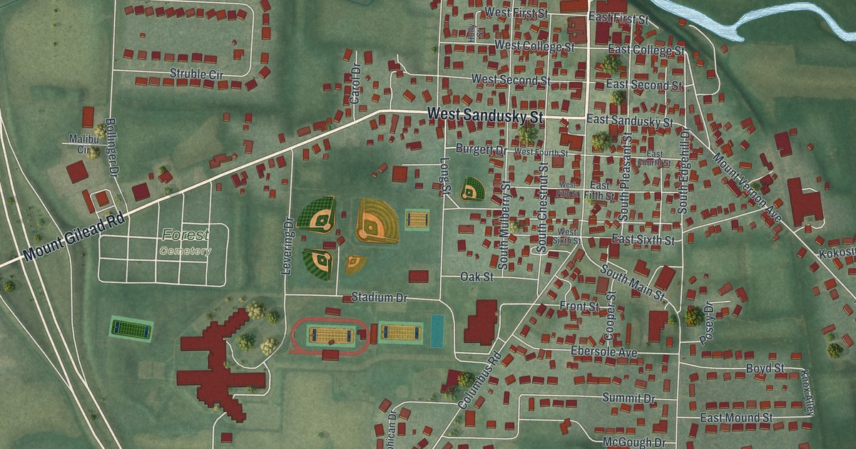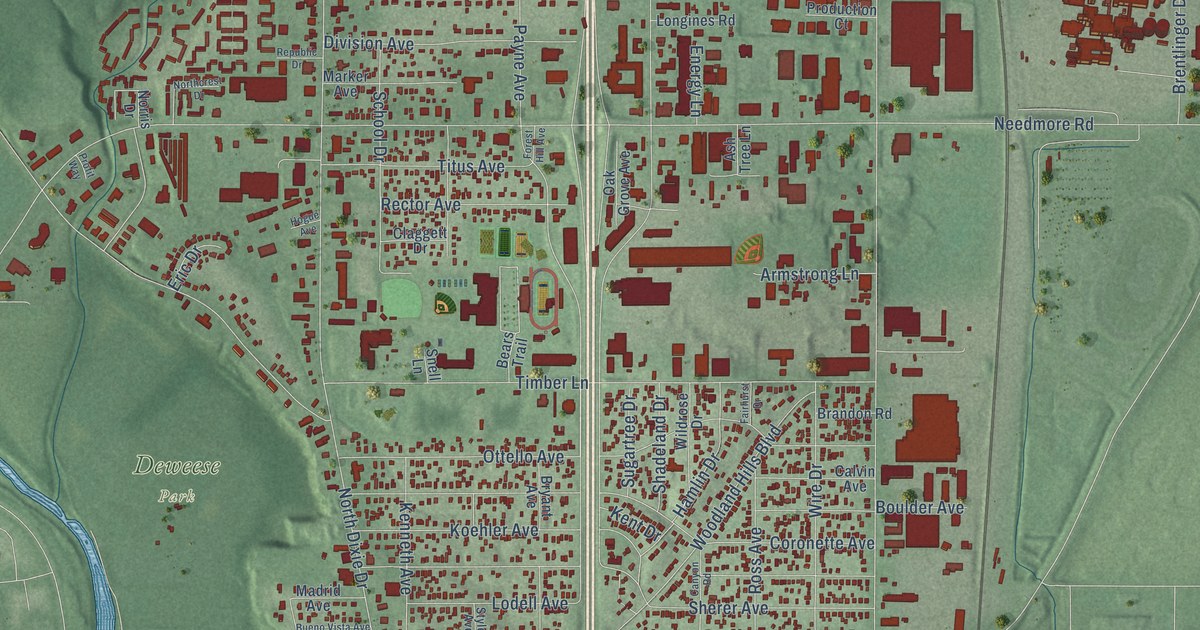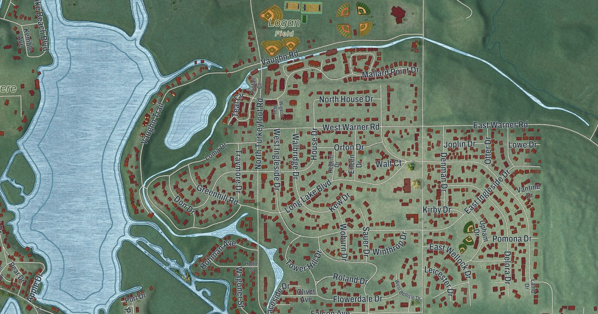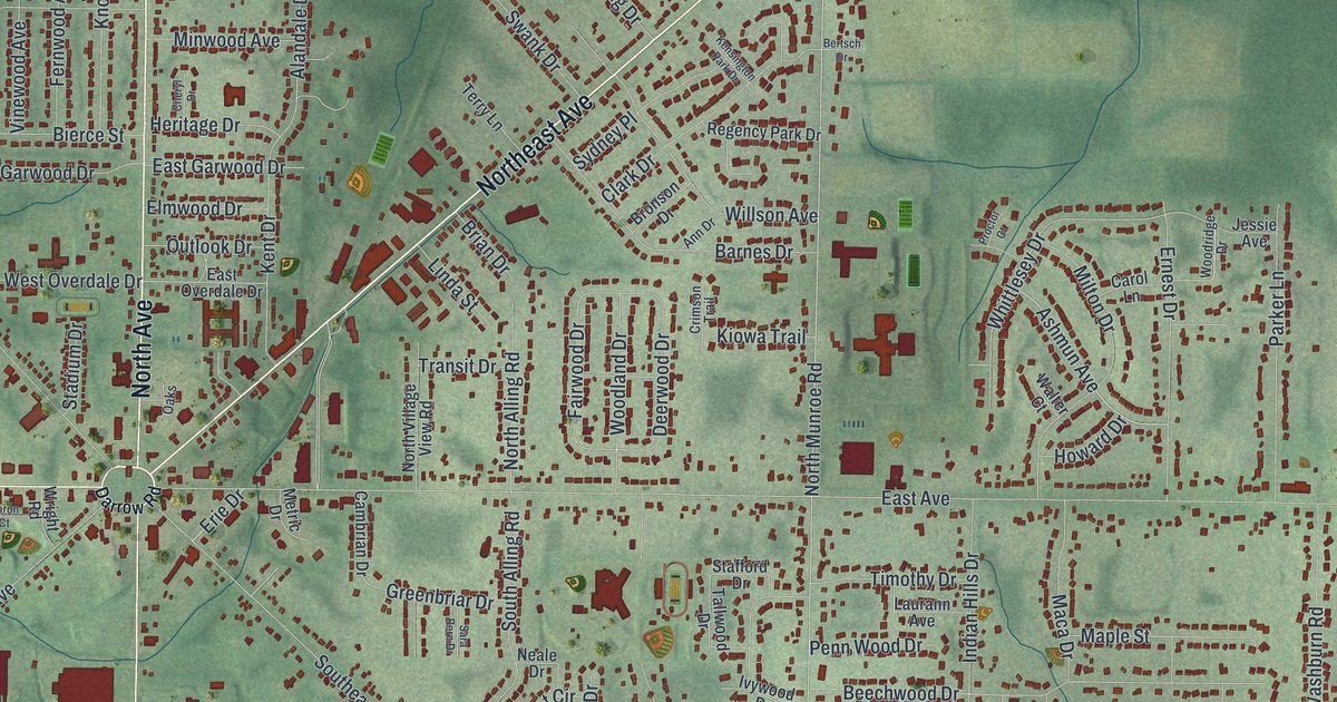
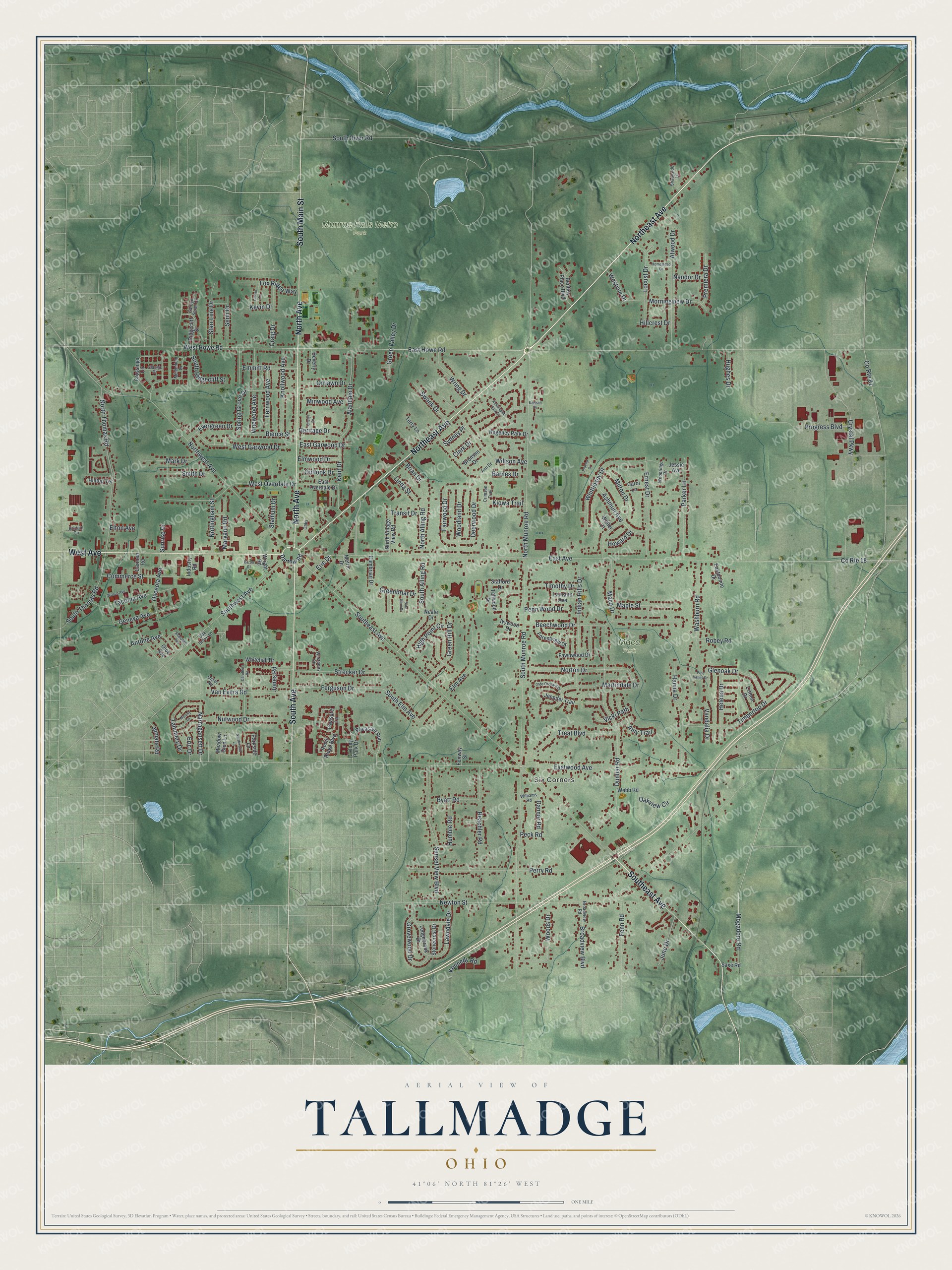
This beautifully detailed map of Tallmadge, Ohio was created in 2026 using aerial imagery combined with modern topographical, census, street and landmark data. It’s a one-of-a-kind view of Tallmadge that combines accurate data with a vintage aesthetic. The map shows every building in its true location, many of the roads carry their names, and the shaded topographic relief shows the shape of the land.
Explore an aerial view of Tallmadge, Ohio
On the map you’ll find Six Corners, Maca Park, and Munroe Falls Metro Park, along with Northeast Avenue, North Avenue, South Avenue, South Main Street, West Avenue, Southeast Avenue, East Howe Road, West Howe Road, Mogadore Road, and more. If you look closely you can even find your house accurately drawn in its correct location. Zoom in on the preview to look for yours.
Did you know this piece of Tallmadge, Ohio history?
The Reverend David Bacon founded Tallmadge in 1807. He set a square at the center where several roads met, following New England town plans of that era. The town was named for Benjamin Tallmadge, a Revolutionary War figure who owned land here. That square later became the roundabout locals call Tallmadge Circle.
Take a closer look at the Tallmadge map
Street and place names on the Tallmadge, Ohio map
These names are printed on the map of Tallmadge, Ohio.
Places: Six Corners, Maca Park and Munroe Falls Metro Park.
Streets and roads: Northeast Avenue, North Avenue, South Avenue, South Main Street, West Avenue, Southeast Avenue, East Howe Road, West Howe Road, Mogadore Road, North Munroe Road, South Munroe Road, East Avenue.
More street names, A to Z
Alandale Drive, Amy Trail, Ann Drive, Antone Avenue, Ashmun Avenue, Atwood Drive, Barnes Drive, Baron Court, Beachler Road, Beechwood Drive, Bentley Place Boulevard, Bertsch Drive, Beverly Drive, Bierce Street, Brian Drive, Brittain Circle, Broadview Boulevard, Broadview Road, Bronson Drive, Byatt Road, Cambrian Drive, Carmen Road, Carol Lane, Caruthers Road, Cheryl Drive, Clark Drive, Classic Drive, Colony Park Drive, Commerce Street, County Route 18, County Route 81, Craig Drive, Crimson Trail, Crossings Circle, Crystal Parkway, Danner Road, Darrow Road, Deerwood Drive, Dunbar Road, East Garwood Drive, East Overdale Drive, Eastpointe Drive, Eastwood Avenue, Elm Avenue, Elmwood Drive, Elton Avenue, Emmitt Road, Eric Drive, Erie Drive, Ernest Drive, Evergreen Drive, Fairwood Drive, Fawnwood Drive, Fenn Road, Fenway Street, Ferguson Drive, Fernwood Avenue, Forestview Drive, Fox Ridge Way, Garden Stone Circle, Geneva Avenue, Glenoak Drive, Greenbriar Drive, Green Hill Drive, Green Valley Drive, Grovewood Drive, Hanna Drive, Helena Drive, Heritage Drive, High Point Circle, Hillcrest Drive, Hilltop Terrace, Homestead Drive, Howard Drive, Hughes Drive, Humble Road, Indian Hills Drive, Industry Road, Ivywood Drive, Jennifer Trail, Jessie Avenue, Jones Road, June Drive, Juniata Road, Kennedy Road, Kensington Park Drive, Kent Drive, Kevin Drive, Kiowa Trail, Knollwood Avenue, Laurann Avenue, Lauren Lane, Lawndale Drive, Ledgebrook Drive, Linda Street, Lisbon Drive, Locust Drive, Maca Drive, Maple Street, Mark Drive, Martindale Drive, Maryann Road, Meadow Glen Lane, Melony Lane, Metric Drive, Millennium Drive, Milton Drive, Minwood Avenue, Morningview Drive, Nandor Drive, Narragansett Drive, Neale Drive, Newton Street, North Alling Road, North Thomas Road, North Village View Road, Northwest Avenue, Northwood Lane, Norton Drive, Nottingham Street, Nutwood Drive, Oak Grove Lane, Oaks, Oakview Circle, Olde Orchard Drive, Oliver Road, Orrlawn Drive, Osceola Avenue, Otoe Avenue, Outlook Drive, Parker Lane, Parkside Lane, Peck Road, Penn Wood Drive, Perry Road, Pheasant Run, Pine Valley Drive, Premiera Drive, Proctor Court, Progress Boulevard, Regency Park Drive, Ridgecliff Street, Robey Road, Robin Ridge Boulevard, Sara Bern Drive, Saxe Road, Senn Drive, Shadyside Lane, Shanafelt Avenue, Smith Drive, South Alling Road, South Elm Avenue, South Ridgecliff Street, South River Road, South Thomas Road, Southwest Avenue, Spring Grove Drive, Stadium Drive, Stafford Drive, Starr Line Drive, Stonecrest Drive, Strecker Drive, Sunrise Drive, Sunset View Boulevard, Swank Drive, Sydney Place, Tacoma Avenue, Tallwood Drive, Tammery Drive, Terry Lane, Timbertop Drive, Timothy Drive, Transit Drive, Treasure Lane, Treat Boulevard, Vandalia Drive, Van Evera Road, Vicki Path, Vinewood Avenue, Walter Court, Wasco Avenue, Washburn Road, Webb Road, Westberry Circle, West Garwood Drive, West Overdale Drive, Westvue Drive, Whitehall Drive, Whittlesey Drive, Williams Road, Willson Avenue, Woodland Drive, Woodridge Drive, Woods Drive, Wright Road, Wring Drive.
See the Tallmadge, Ohio map on a wall
The Tallmadge map as an 18 x 24 inch print in a black frame.

This beautifully detailed map of Tallmadge makes an attractive addition to your office, library, or den, and it can even be used to teach children the geography and history of the area. It also makes a great gift for anyone who grew up in Tallmadge or moved away. When you’re done exploring, click here to get your copy of the Tallmadge map.