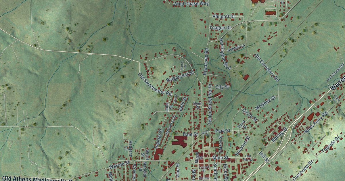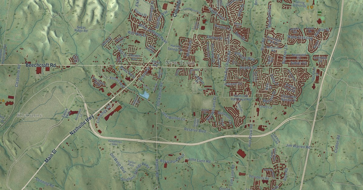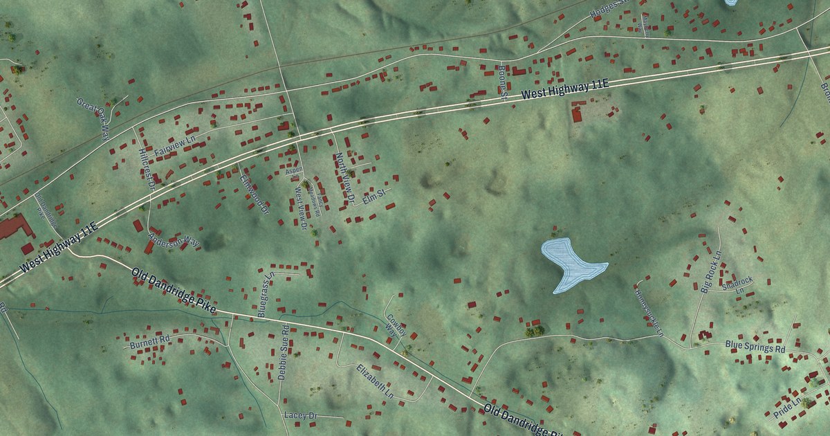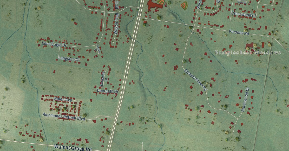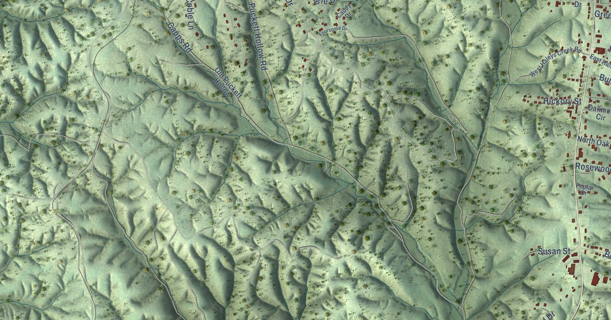
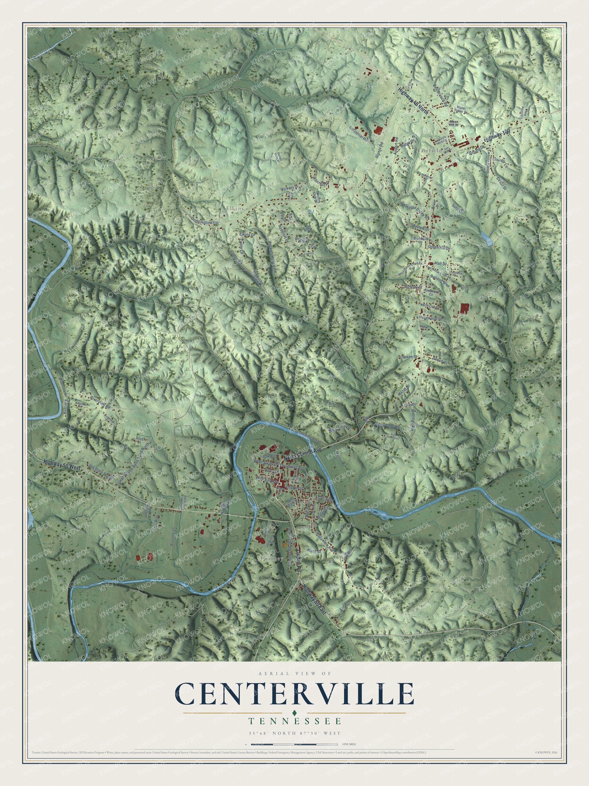
This beautifully detailed map of Centerville, Tennessee was created in 2026 using aerial imagery combined with modern topographical, census, street and landmark data. It's a modern aerial view of Centerville in Hickman County, Tennessee, that combines modern data with a vintage aesthetic. The roads feature printed names, and if you look closely you can find your exact house accurately shown in its correct location.
Explore an aerial view of Centerville, Tennessee
On this map you'll find Fairfield, Twomey, Elkins, Linden Road, North Central Avenue, Highway 50 East, Highway 100, Highway 50 West, Highway 48 North, Church Street, East Swan Street, Riverview Road, and more. Each red shape is a building, so zoom in on the preview and look for yours.
Centerville has a story worth telling. The A History of Hickman County puts it this way: "In 1823 the county records were removed from Vernon to Centerville. The courthouse at Vernon, which was of large hewn poplar logs, was torn down and hauled by wagons to the new county seat, eight miles away."
Centerville is a town in Hickman County. The Census Bureau counted 3,532 people here in 2020.
Take a closer look at the Centerville map
Names on this map
These names are printed on this map.
Places: Fairfield, Twomey and Elkins.
Streets and roads: Linden Road, North Central Avenue, Highway 50 East, Highway 100, Highway 50 West, Highway 48 North, Church Street, East Swan Street, Riverview Road, Lower Shipps Bend Road North, Hickory Drive, Skyview Drive.
More street names, A to Z
Airport Road, Armory Street, Atys Way, Aydelott Drive, Beech Street, Bell Branch Road, Bogie Drive, Boyd Lane, Briggs Street, Broome Lane, Bulldog Boulevard, Caddy Drive, Capps Road, Caroline Avenue, Cedar Street, Centerville Village Drive, Cherry Street, Chessor Road, Circle Drive, Coble Lane, Columbia Avenue, Country Club Drive, Country Lane, Crestview Drive, Defeated Creek Road, Dodd Hollow Road, Dunn Haven Ests, Eagle Drive, East Haleys Creek Road, Elkins Drive, Fairfield Drive, Flag Drive, Foursome Drive, General Avenue, Ghant Hill Drive, Grays Bend Road, Green Hill Drive, Grinders Switch Road, Hall Drive, Hazel Drive, Hickory Street, High Point Drive, Hillcrest Drive, Hillwood Drive, Huddleston Road, Industrial Road, Jenkins Avenue, Jenkins Drive, Longview Drive, Moss Hill Drive, Murphree Avenue, Nall Avenue, North Oak Drive, Oak Avenue, Oakmont Circle, Old Highway 50, Old Puckett Hollow, Old State Route 48, Old State Route 50, Par Drive, Perry Street, Pine Street, Poplar Drive, Puckett Hollow Road, Ridge Drive, Ridgewood Drive, Rivers Road, Riverview Court, Riverview Drive, Ronald Nunn Drive, Rosewood Drive, Sam Rosa Drive, Sleepy Hollow Lane, Surji Circle, Susan Street, Tiller Drive, Twomey Road, Universal Drive, Valley Drive, Water Street, Water Tower Drive, Wells Street, West End Avenue, West Haleys Creek Road, West Swan Street, West Ward Street, White Pine Drive, Woodland Drive.
Created by KNOWOL in 2026. The buildings are small red shapes, the roads carry their printed names, and shaded relief shows the shape of the land. The title panel reads "AERIAL VIEW OF CENTERVILLE TENNESSEE" with 35°48' NORTH 87°30' WEST.
It looks right in a kitchen, an office or a den, and it's a gift for anyone who grew up in Centerville or moved away. Open the preview and find your street. See sizes and frames for the Centerville map.