Detailed Map of Rattling Brook, Newfoundland and Labrador
A detailed map of Rattling Brook, Newfoundland and Labrador, showing every building in its true location, the roads by name, and shaded topographical relief.
Read More
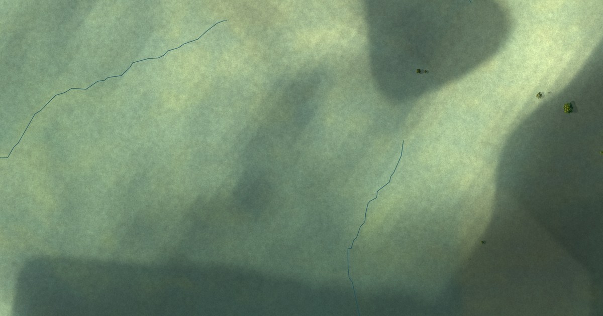
A detailed map of Rattling Brook, Newfoundland and Labrador, showing every building in its true location, the roads by name, and shaded topographical relief.
Read More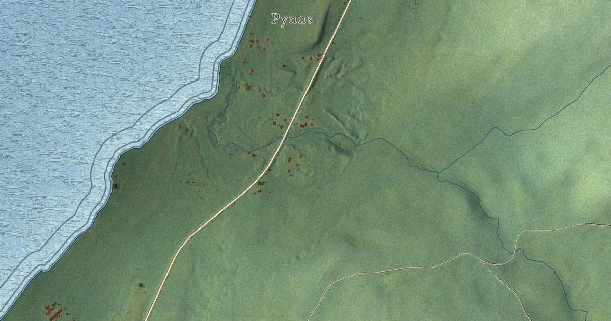
A detailed map of Pynns Brook, Newfoundland and Labrador, showing every building in its true location, the roads by name, and shaded topographical relief.
Read More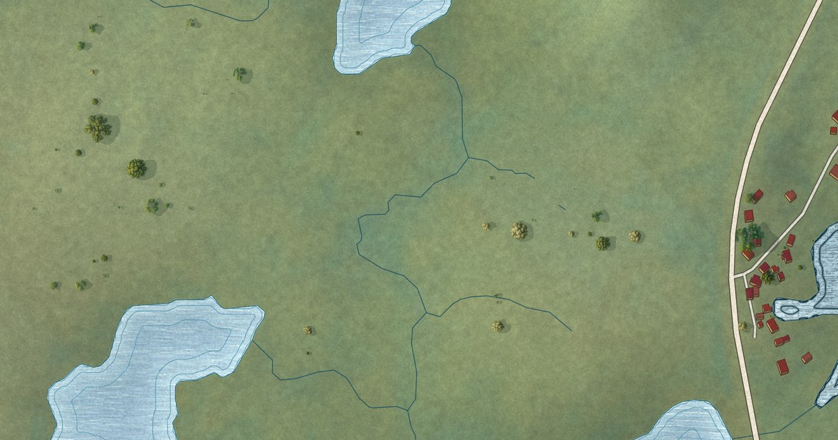
A detailed map of Purcell’s Harbour, Newfoundland and Labrador, showing every building in its true location, the roads by name, and shaded topographical relief.
Read More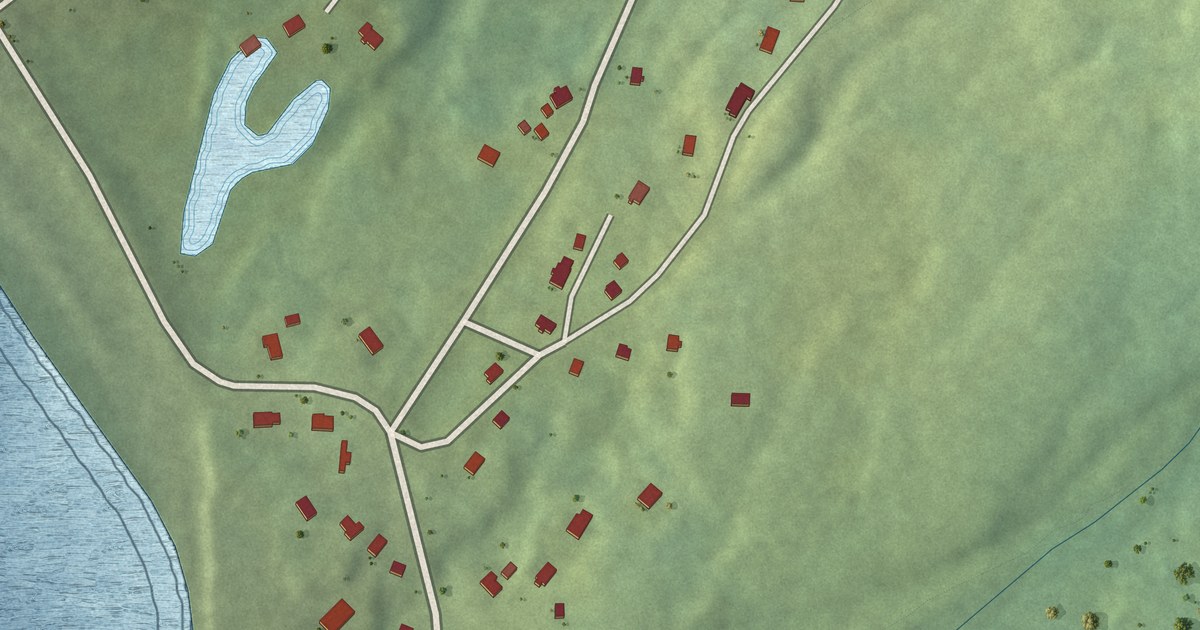
A detailed map of Portugal Cove South, Newfoundland and Labrador, showing every building in its true location, the roads by name, and shaded topographical relief.
Read More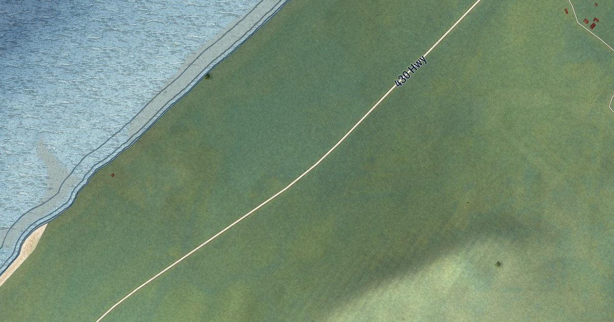
A detailed map of Portland Creek, Newfoundland and Labrador, showing every building in its true location, the roads by name, and shaded topographical relief.
Read More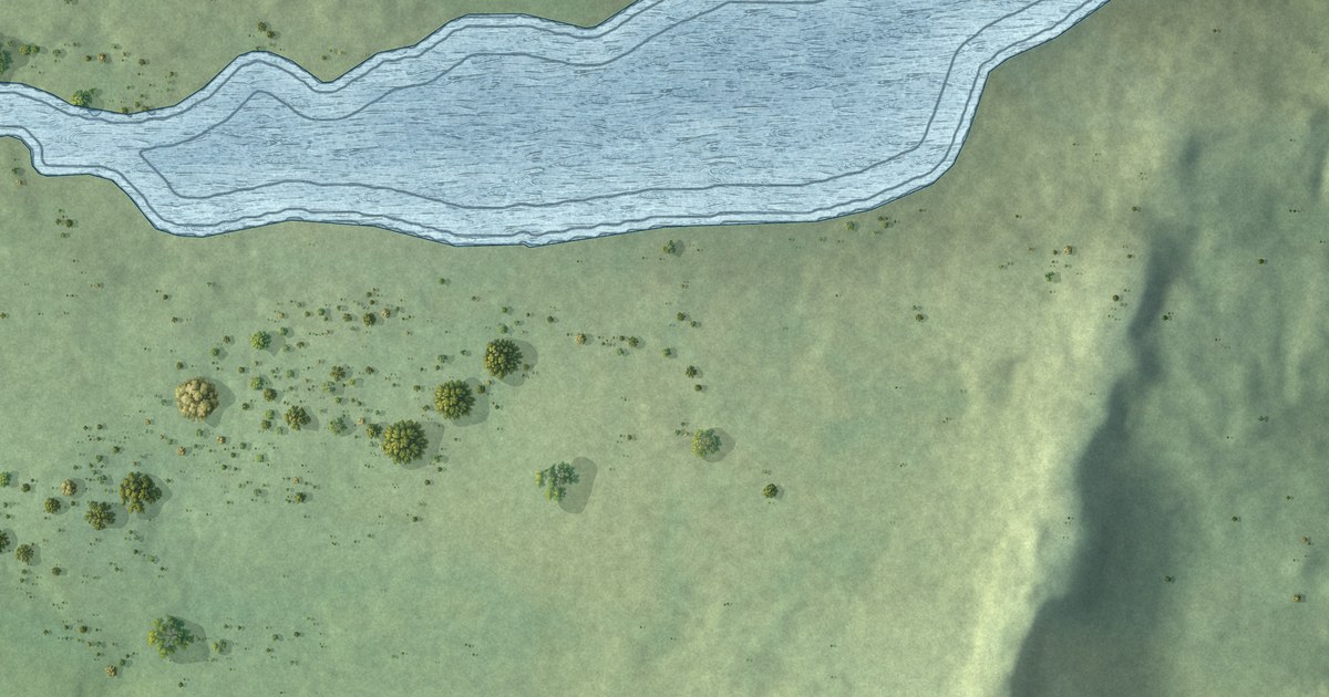
A detailed map of Port Kirwan, Newfoundland and Labrador, showing every building in its true location, the roads by name, and shaded topographical relief.
Read More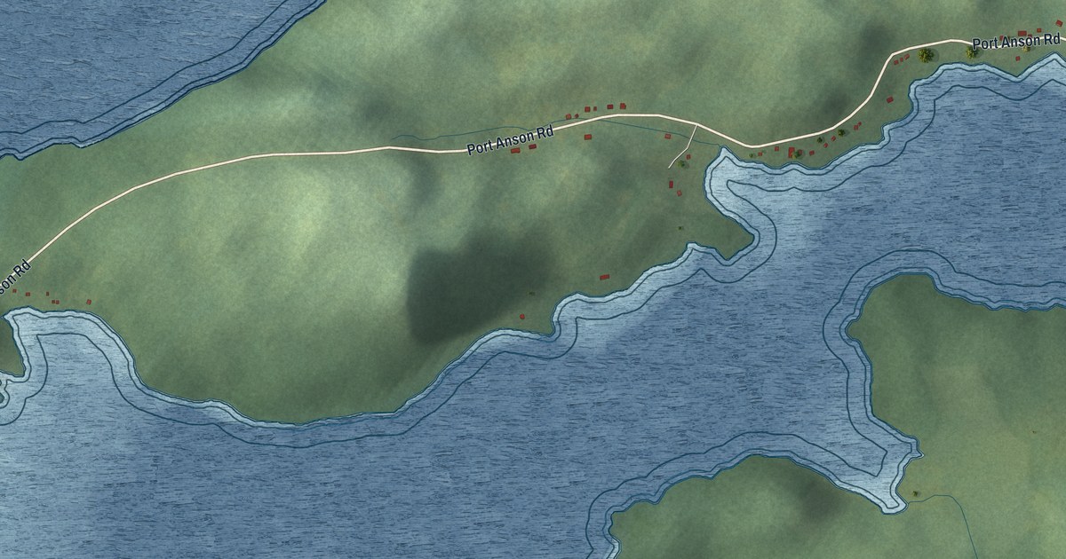
A detailed map of Port Anson, Newfoundland and Labrador, showing every building in its true location, the roads by name, and shaded topographical relief.
Read More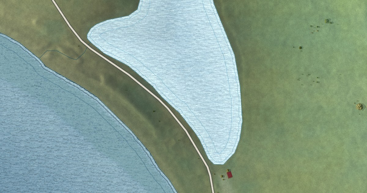
A detailed map of Point au Gaul, Newfoundland and Labrador, showing every building in its true location, the roads by name, and shaded topographical relief.
Read More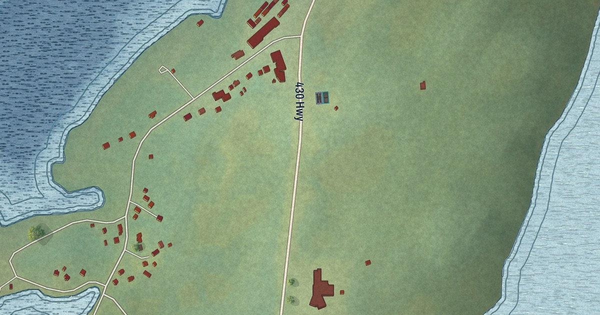
A detailed map of Plum Point, Newfoundland and Labrador, showing every building in its true location, the roads by name, and shaded topographical relief.
Read More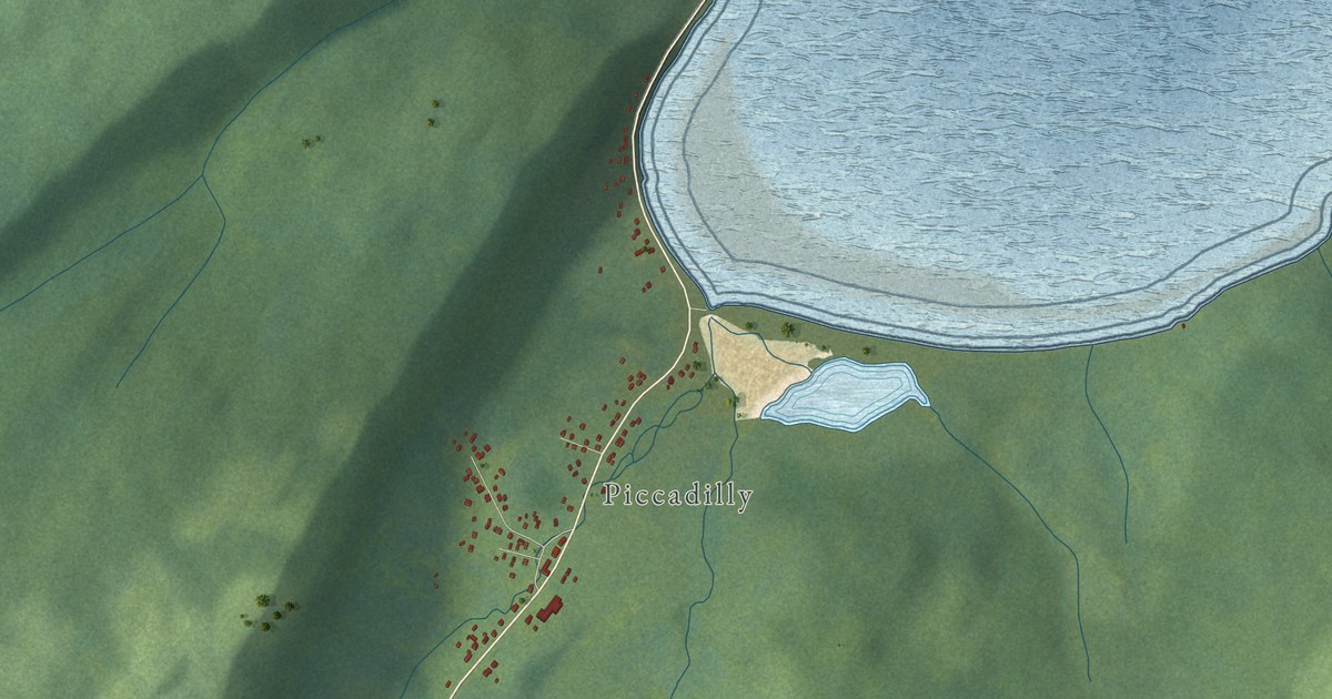
A detailed map of Piccadilly Slant-Abrahams Cove, Newfoundland and Labrador, showing every building in its true location, the roads by name, and shaded topographical relief.
Read More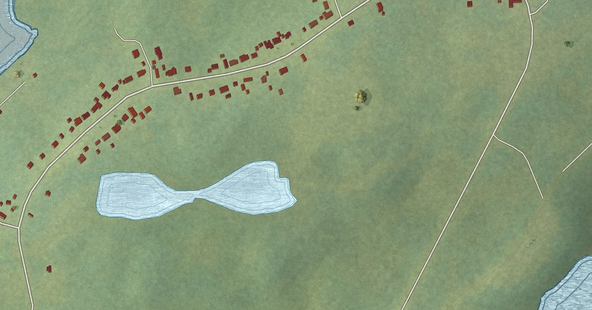
A detailed map of Pidgeon Cove-St. Barbe, Newfoundland and Labrador, showing every building in its true location, the roads by name, and shaded topographical relief.
Read More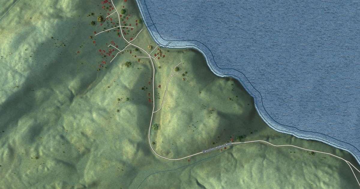
A detailed map of Petley, Newfoundland and Labrador, showing every building in its true location, the roads by name, and shaded topographical relief.
Read More
A detailed map of Phillips Head, Newfoundland and Labrador, showing every building in its true location, the roads by name, and shaded topographical relief.
Read More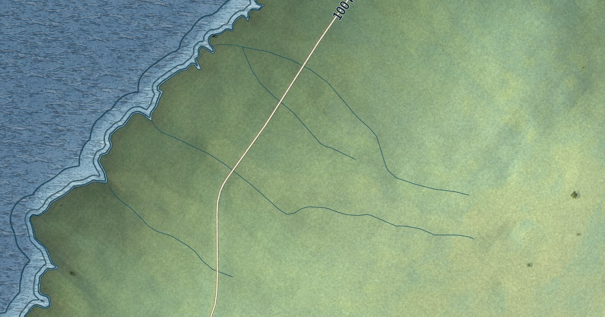
A detailed map of Patrick’s Cove-Angels Cove, Newfoundland and Labrador, showing every building in its true location, the roads by name, and shaded topographical relief.
Read More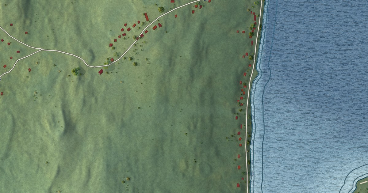
A detailed map of Old Shop, Newfoundland and Labrador, showing every building in its true location, the roads by name, and shaded topographical relief.
Read More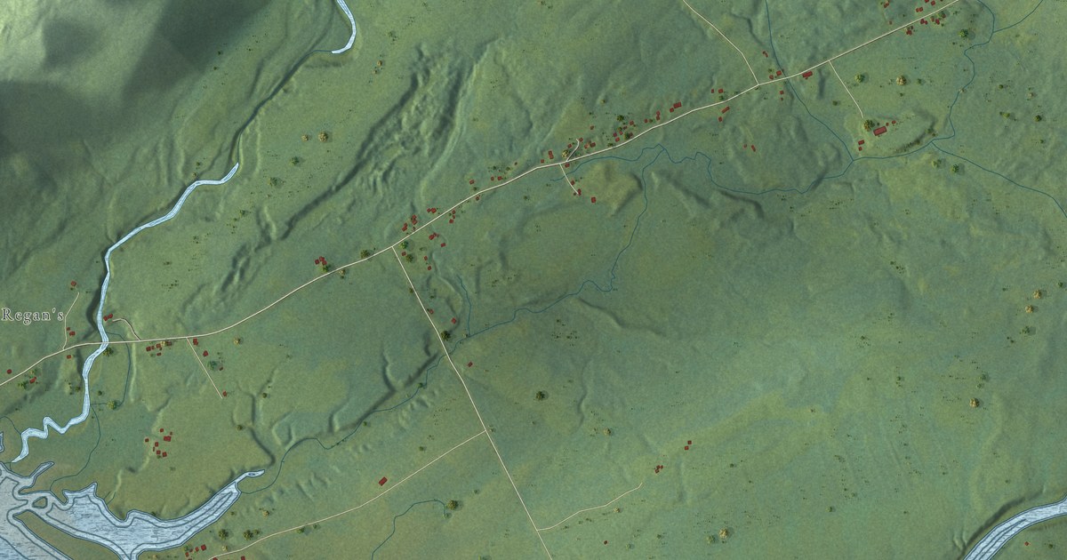
A detailed map of O’Regan’s Central, Newfoundland and Labrador, showing every building in its true location, the roads by name, and shaded topographical relief.
Read More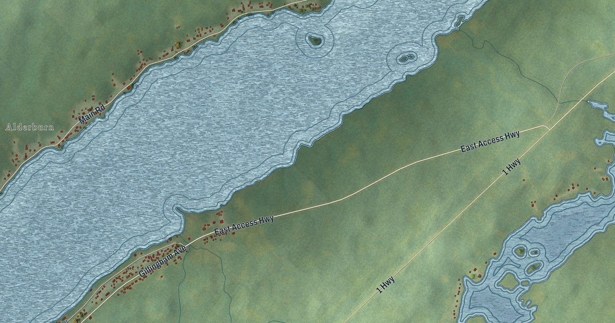
A detailed map of Norris Arm North, Newfoundland and Labrador, showing every building in its true location, the roads by name, and shaded topographical relief.
Read More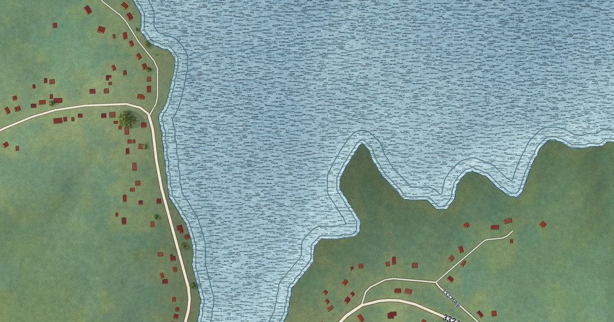
A detailed map of Noggin Cove, Newfoundland and Labrador, showing every building in its true location, the roads by name, and shaded topographical relief.
Read More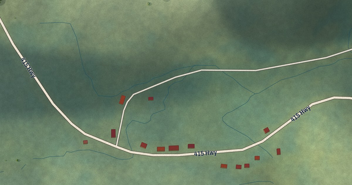
A detailed map of Nippers Harbour, Newfoundland and Labrador, showing every building in its true location, the roads by name, and shaded topographical relief.
Read More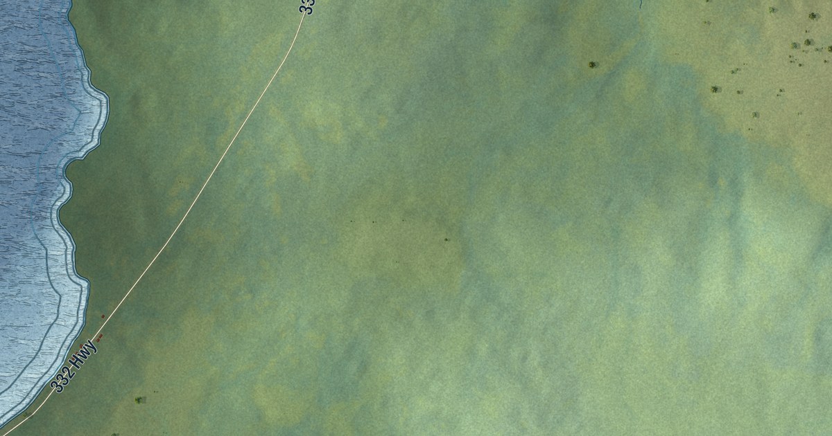
A detailed map of Main Point-Davidsville, Newfoundland and Labrador, showing every building in its true location, the roads by name, and shaded topographical relief.
Read More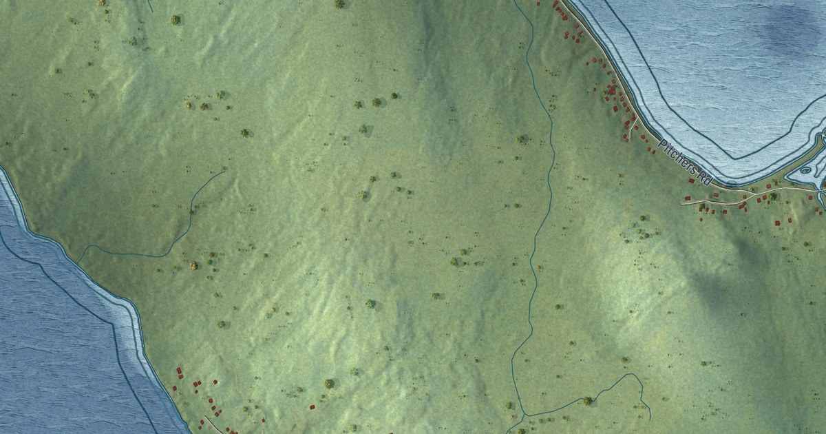
A detailed map of New Harbour, Newfoundland and Labrador, showing every building in its true location, the roads by name, and shaded topographical relief.
Read More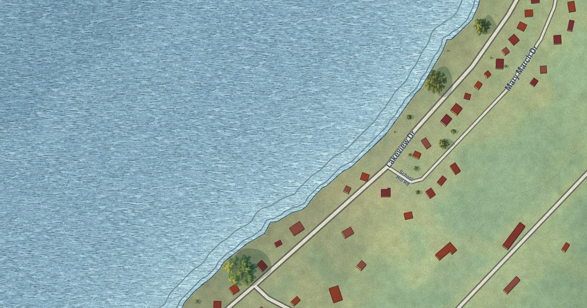
A detailed map of Millertown, Newfoundland and Labrador, showing every building in its true location, the roads by name, and shaded topographical relief.
Read More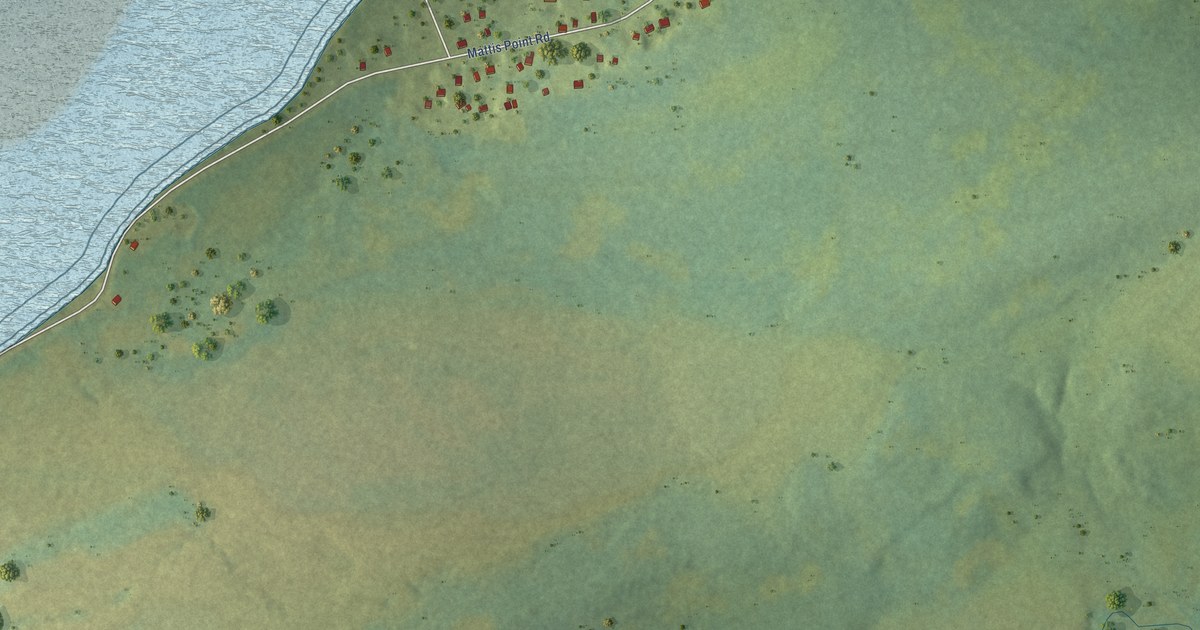
A detailed map of Mattis Point, Newfoundland and Labrador, showing every building in its true location, the roads by name, and shaded topographical relief.
Read More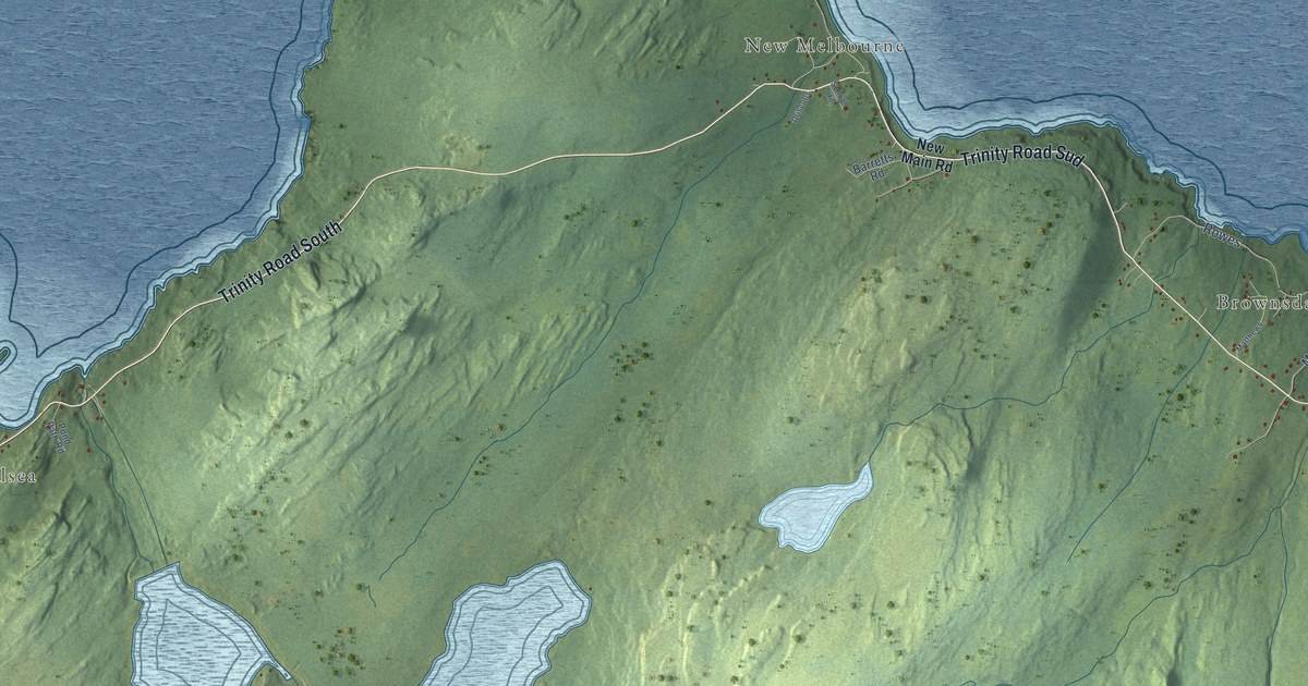
A detailed map of New Chelsea-New Melbourne-Brownsdale-Sibley’s Cove-Lead Cove, Newfoundland and Labrador, showing every building in its true location, the roads by name, and shaded topographical relief.
Read More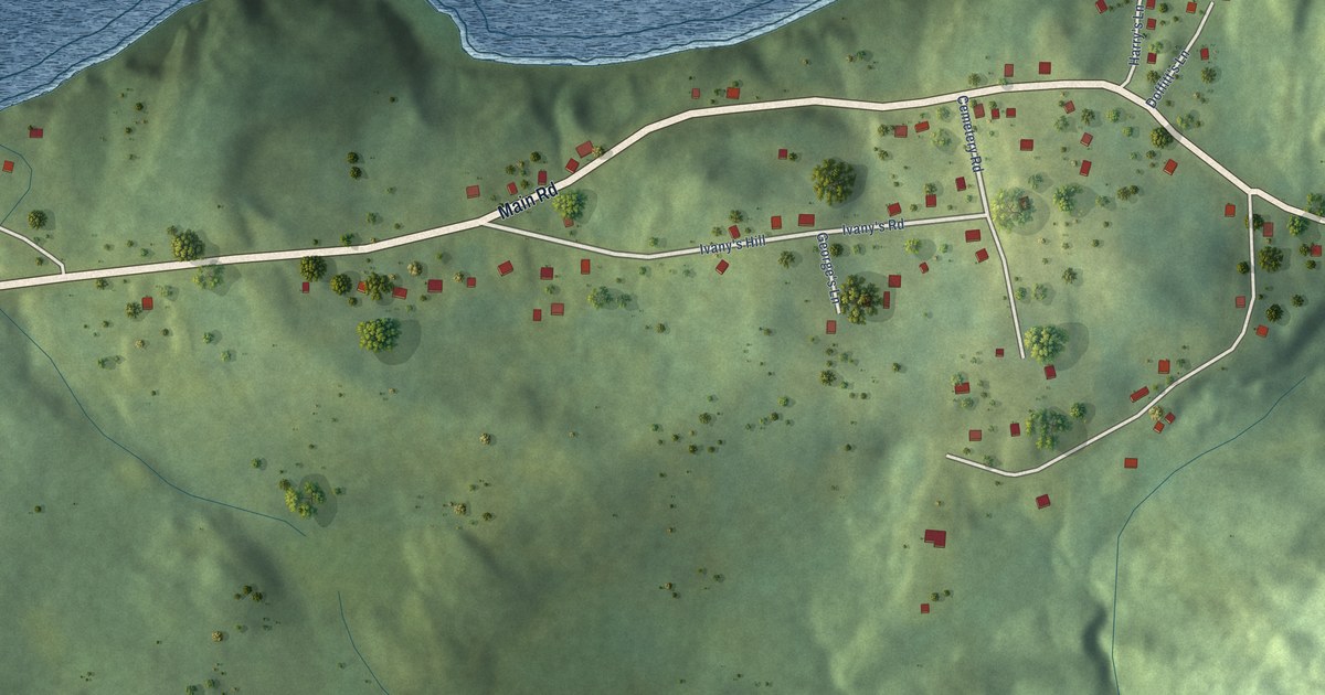
A detailed map of Lower Lance Cove, Newfoundland and Labrador, showing every building in its true location, the roads by name, and shaded topographical relief.
Read More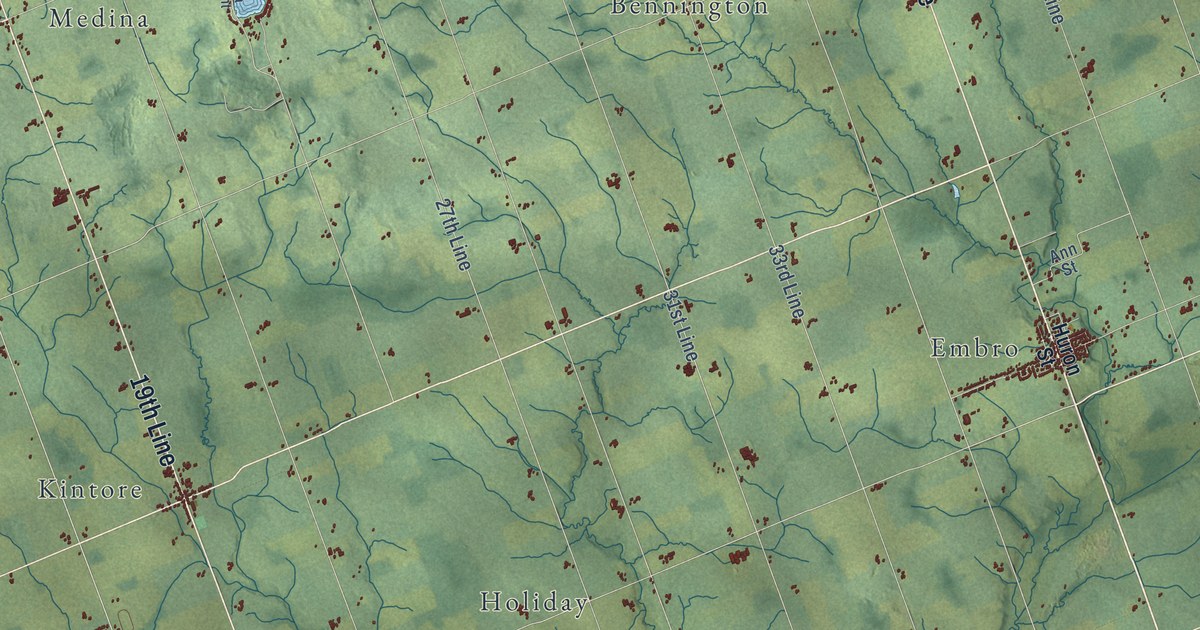
A detailed map of Zorra, Ontario, showing every building in its true location, the roads by name, and shaded topographical relief.
Read More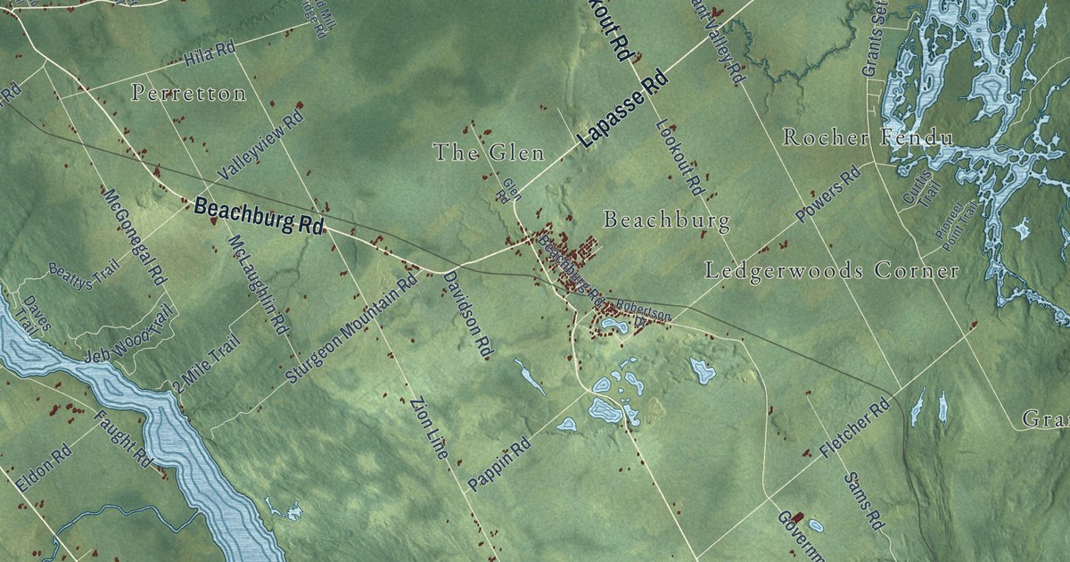
A detailed map of Whitewater Region, Ontario, showing every building in its true location, the roads by name, and shaded topographical relief.
Read More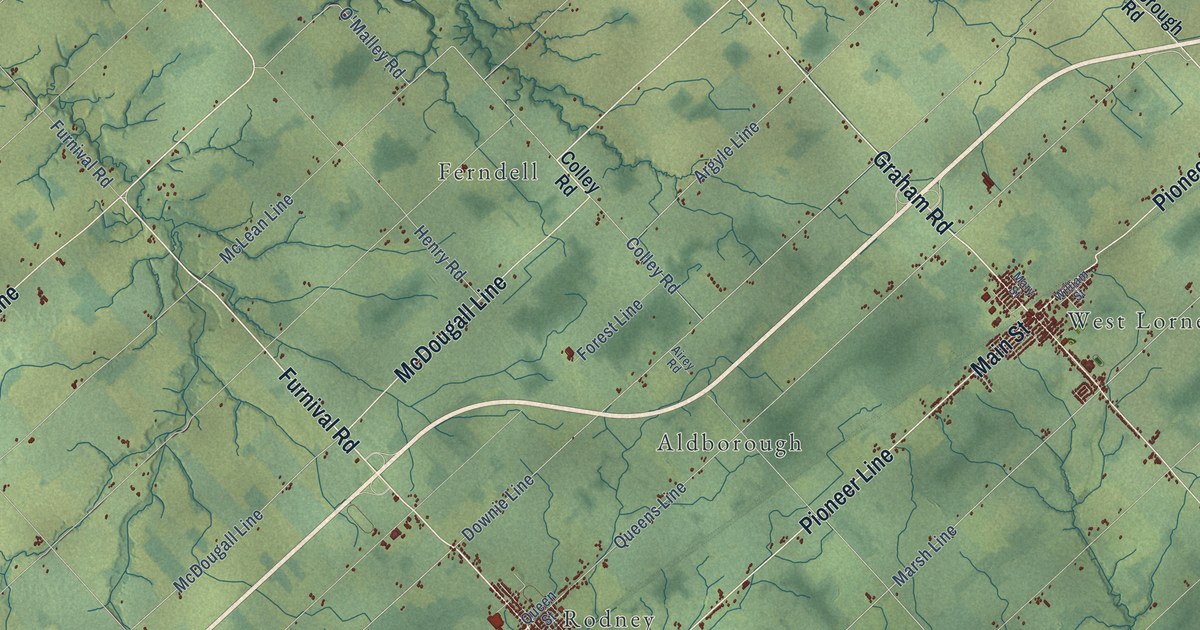
A detailed map of West Elgin, Ontario, showing every building in its true location, the roads by name, and shaded topographical relief.
Read More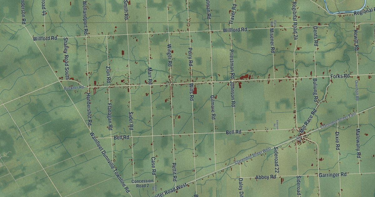
A detailed map of Wainfleet, Ontario, showing every building in its true location, the roads by name, and shaded topographical relief.
Read More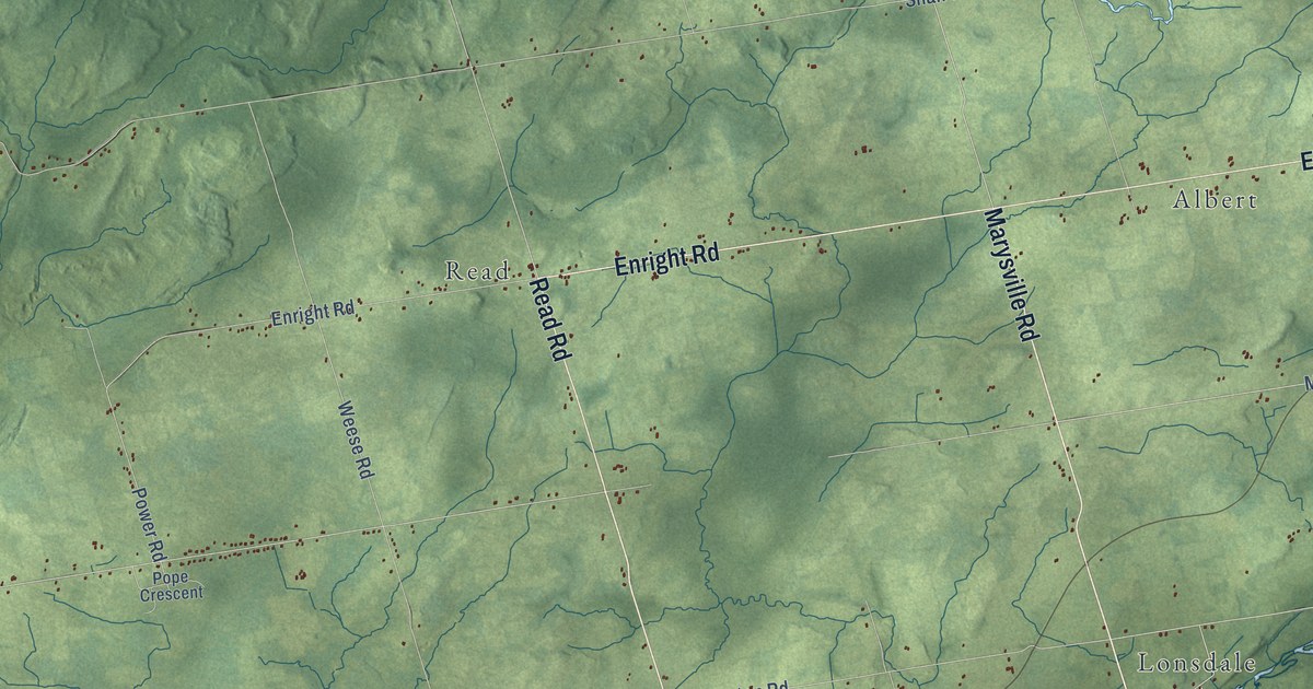
A detailed map of Tyendinaga, Ontario, showing every building in its true location, the roads by name, and shaded topographical relief.
Read More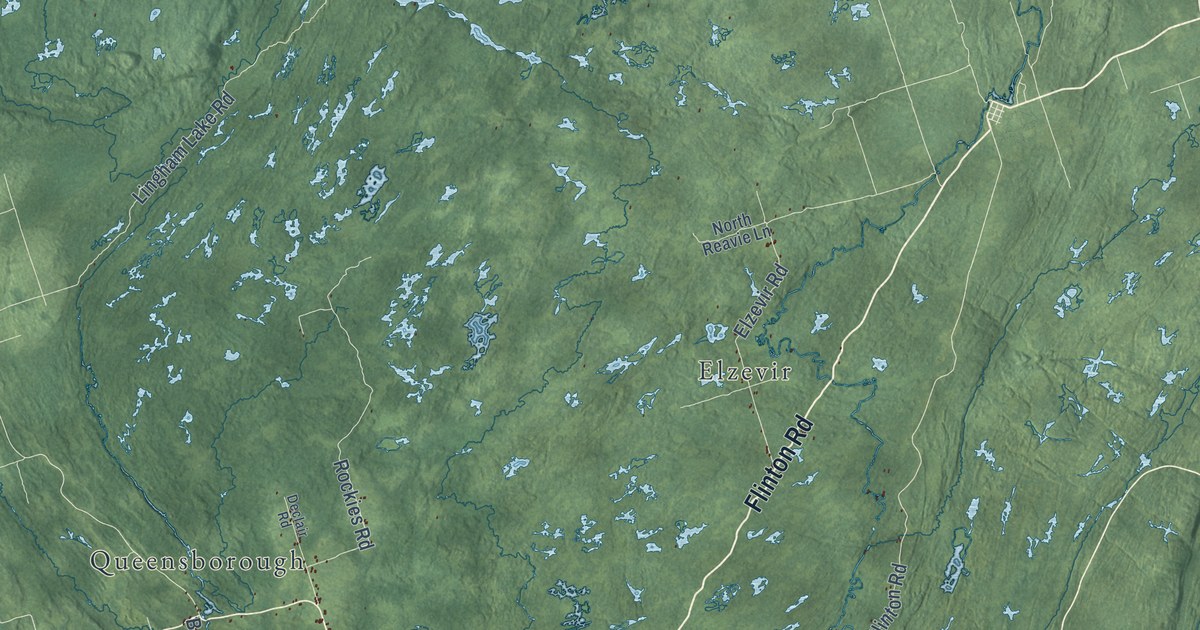
A detailed map of Municipality of Tweed, Ontario, showing every building in its true location, the roads by name, and shaded topographical relief.
Read More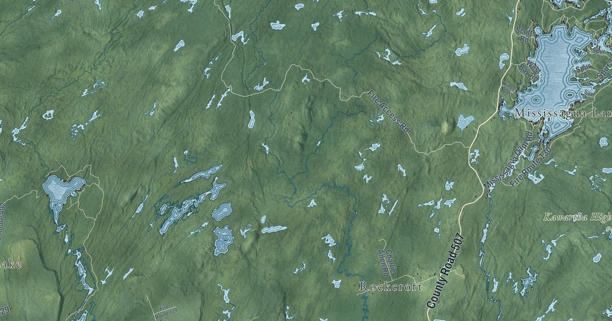
A detailed map of Trent Lakes, Ontario, showing every building in its true location, the roads by name, and shaded topographical relief.
Read More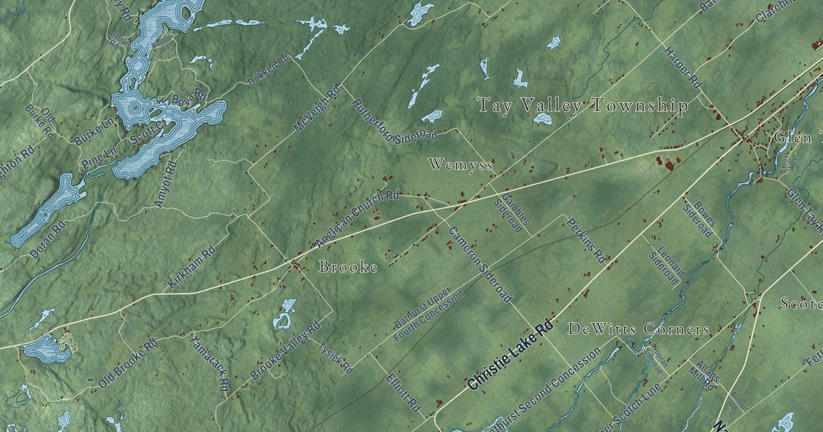
A detailed map of Tay Valley, Ontario, showing every building in its true location, the roads by name, and shaded topographical relief.
Read More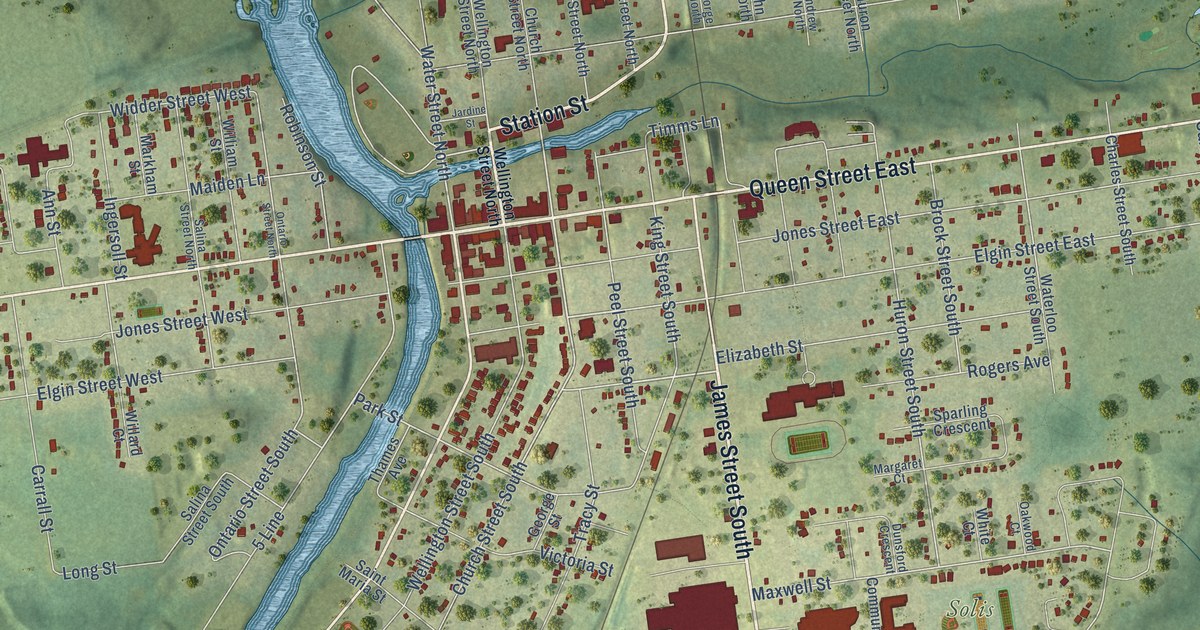
A detailed map of St. Marys, Ontario, showing every building in its true location, the roads by name, and shaded topographical relief.
Read More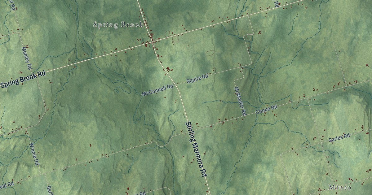
A detailed map of Stirling-Rawdon, Ontario, showing every building in its true location, the roads by name, and shaded topographical relief.
Read More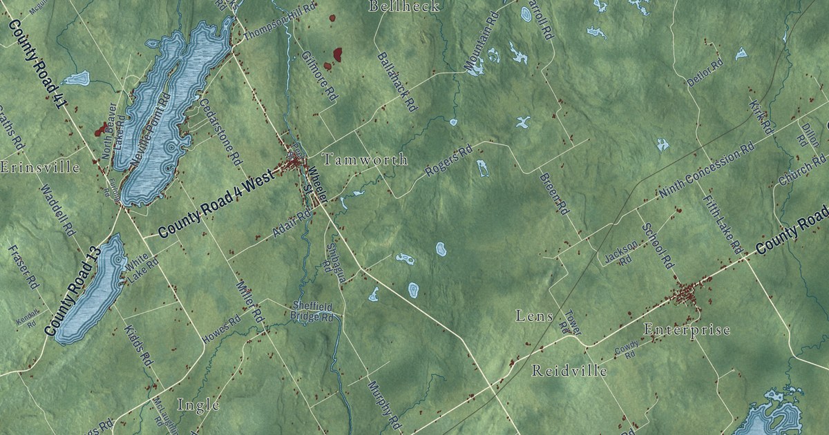
A detailed map of Stone Mills, Ontario, showing every building in its true location, the roads by name, and shaded topographical relief.
Read More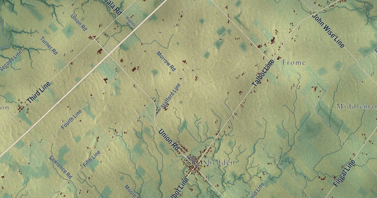
A detailed map of Southwold, Ontario, showing every building in its true location, the roads by name, and shaded topographical relief.
Read More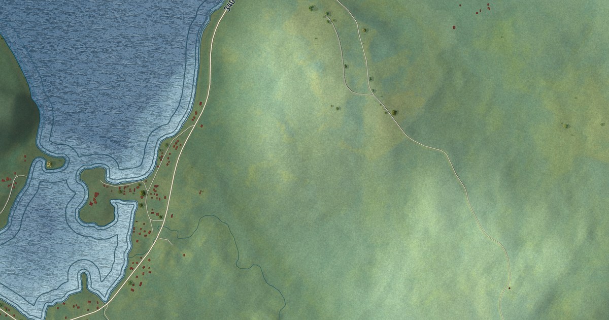
A detailed map of Loon Bay, Newfoundland and Labrador, showing every building in its true location, the roads by name, and shaded topographical relief.
Read More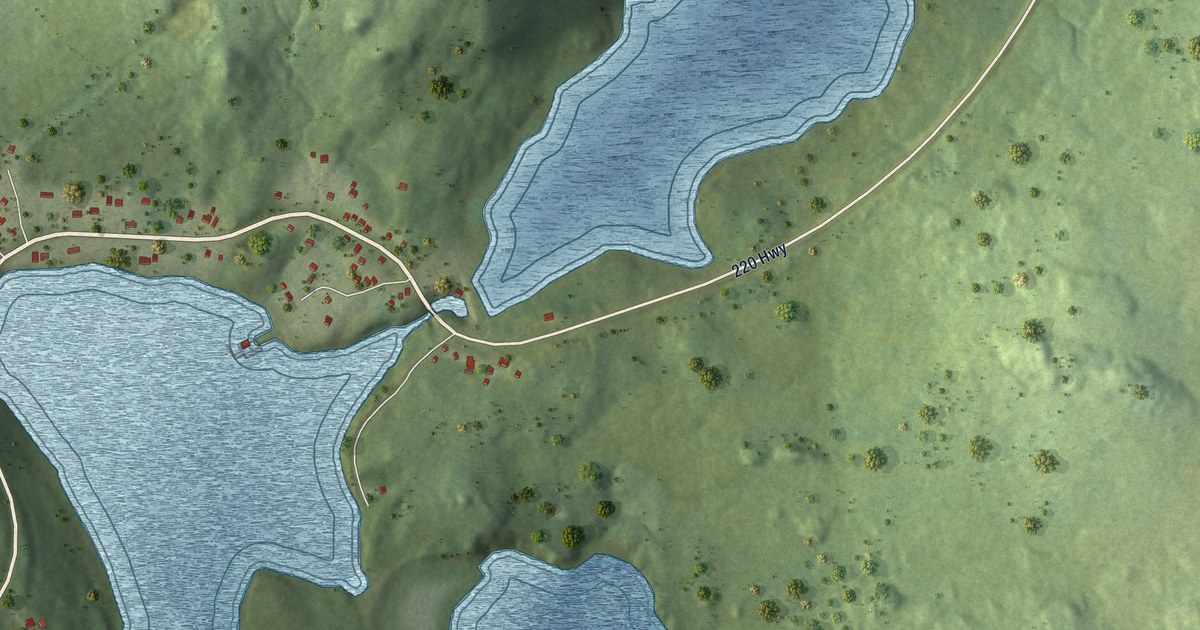
A detailed map of Little St. Lawrence, Newfoundland and Labrador, showing every building in its true location, the roads by name, and shaded topographical relief.
Read More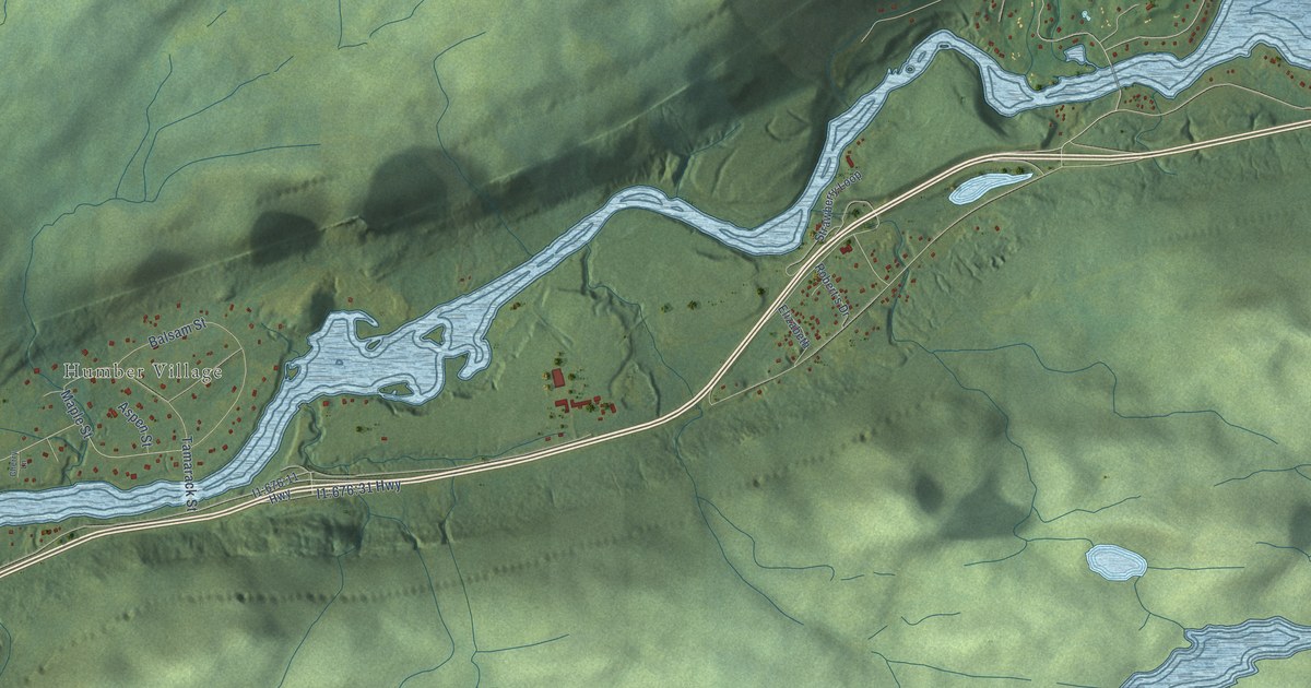
A detailed map of Little Rapids, Newfoundland and Labrador, showing every building in its true location, the roads by name, and shaded topographical relief.
Read More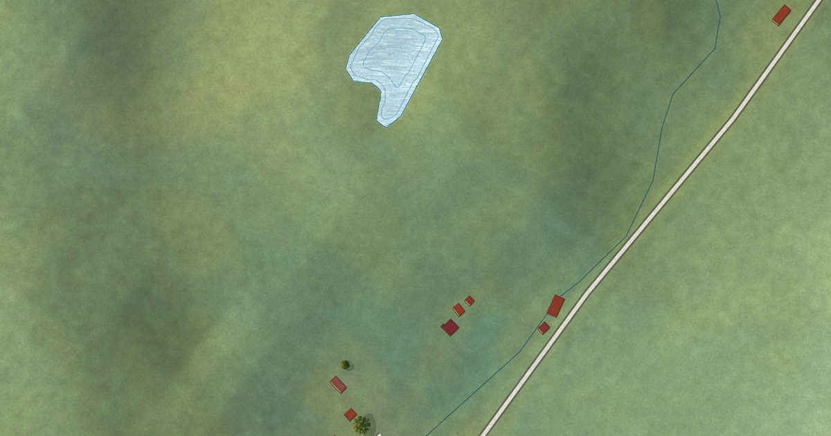
A detailed map of Little Harbour (East), Placentia Bay, Newfoundland and Labrador, showing every building in its true location, the roads by name, and shaded topographical relief.
Read More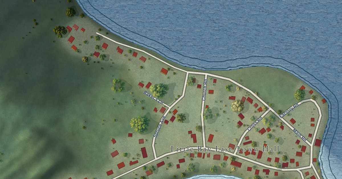
A detailed map of Little Bay East, Newfoundland and Labrador, showing every building in its true location, the roads by name, and shaded topographical relief.
Read More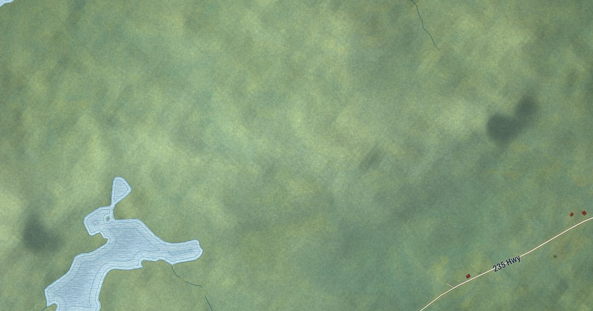
A detailed map of King’s Cove, Newfoundland and Labrador, showing every building in its true location, the roads by name, and shaded topographical relief.
Read More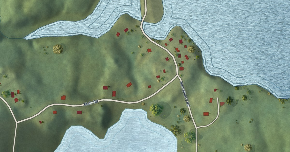
A detailed map of Jean de Baie, Newfoundland and Labrador, showing every building in its true location, the roads by name, and shaded topographical relief.
Read More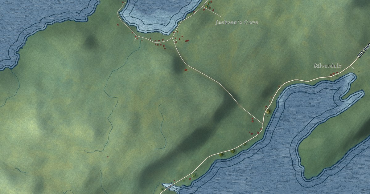
A detailed map of Jackson’s Cove-Langdon’s Cove-Silverdale, Newfoundland and Labrador, showing every building in its true location, the roads by name, and shaded topographical relief.
Read More
A detailed map of Indian Cove, Newfoundland and Labrador, showing every building in its true location, the roads by name, and shaded topographical relief.
Read More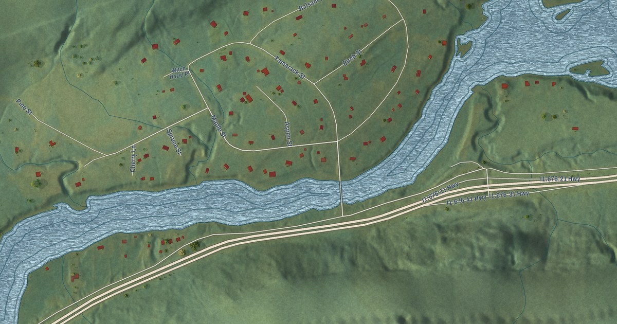
A detailed map of Humber Village, Newfoundland and Labrador, showing every building in its true location, the roads by name, and shaded topographical relief.
Read More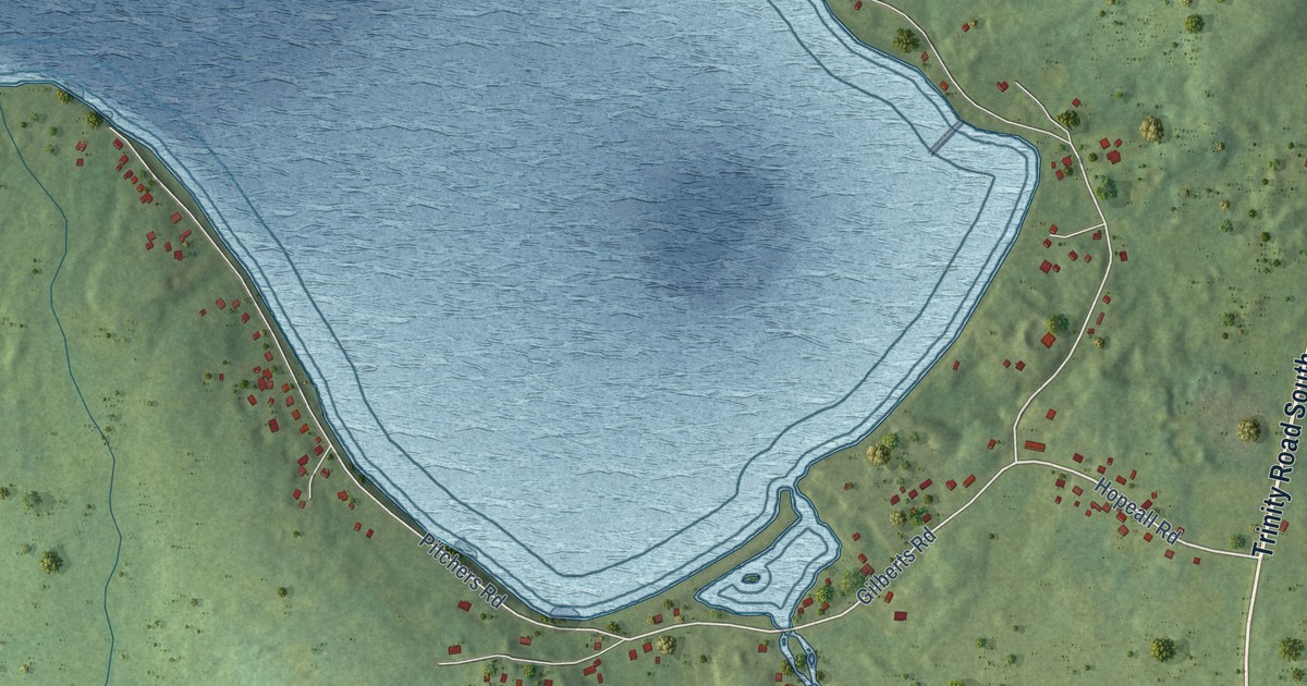
A detailed map of Hopeall, Newfoundland and Labrador, showing every building in its true location, the roads by name, and shaded topographical relief.
Read More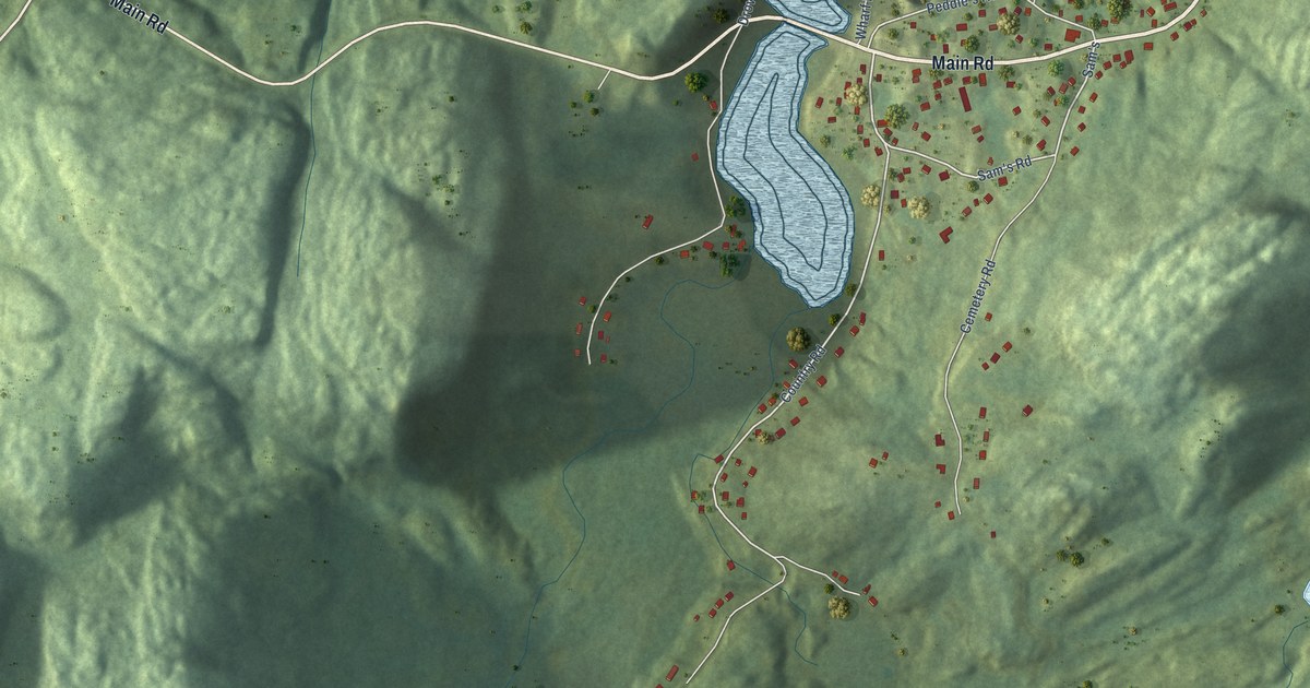
A detailed map of Hodge’s Cove, Newfoundland and Labrador, showing every building in its true location, the roads by name, and shaded topographical relief.
Read More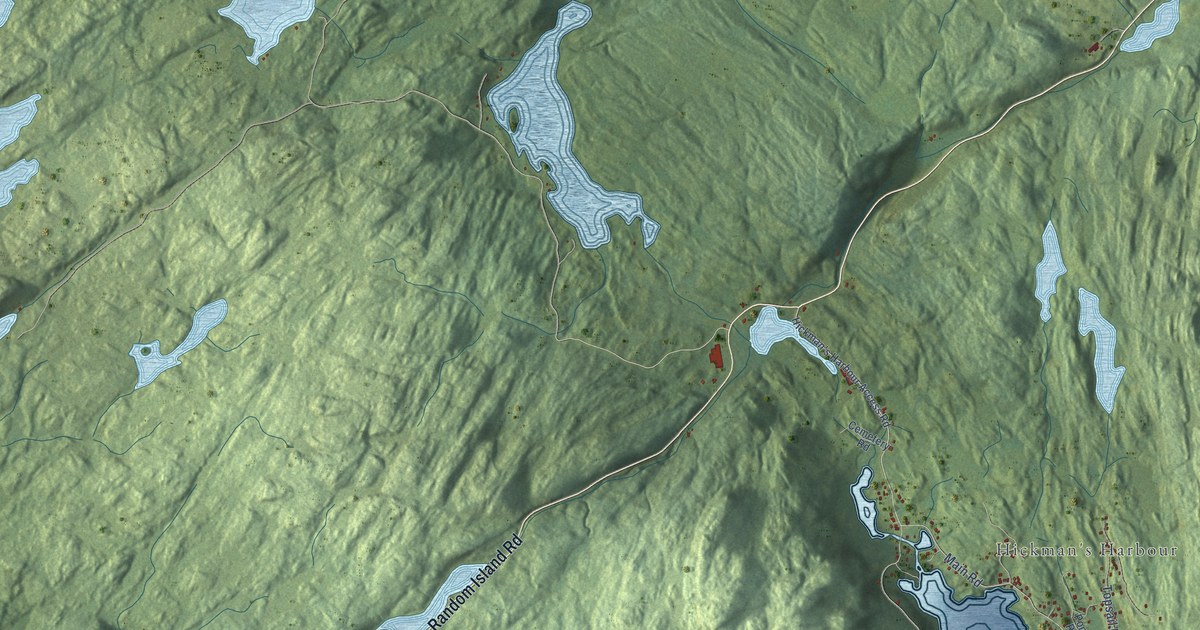
A detailed map of Hickman’s Harbour-Robinson Bight, Newfoundland and Labrador, showing every building in its true location, the roads by name, and shaded topographical relief.
Read More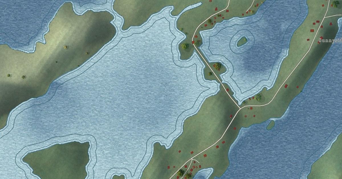
A detailed map of Herring Neck, Newfoundland and Labrador, showing every building in its true location, the roads by name, and shaded topographical relief.
Read More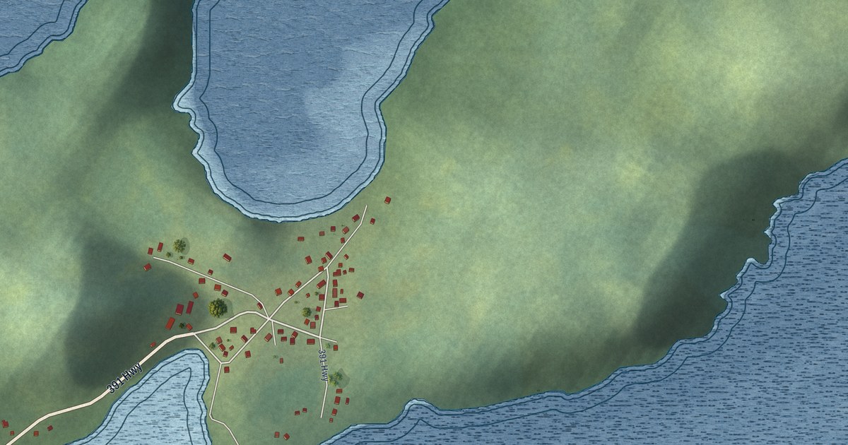
A detailed map of Harry’s Harbour, Newfoundland and Labrador, showing every building in its true location, the roads by name, and shaded topographical relief.
Read More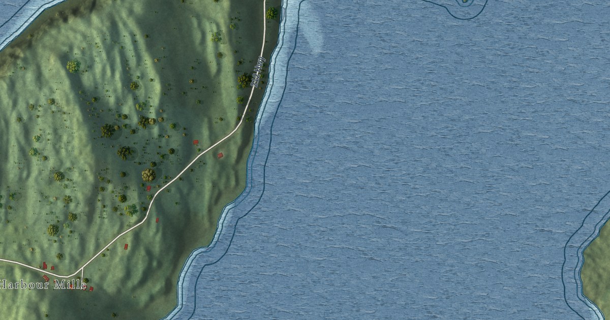
A detailed map of Harbour Mille-Little Harbour East, Newfoundland and Labrador, showing every building in its true location, the roads by name, and shaded topographical relief.
Read More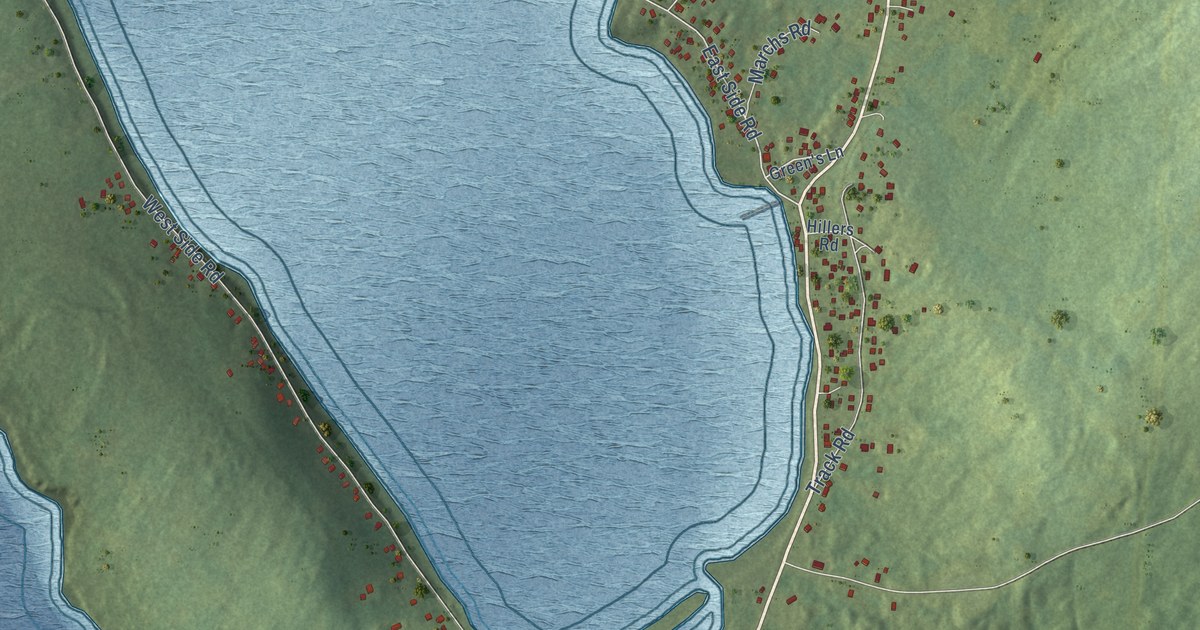
A detailed map of Green’s Harbour, Newfoundland and Labrador, showing every building in its true location, the roads by name, and shaded topographical relief.
Read More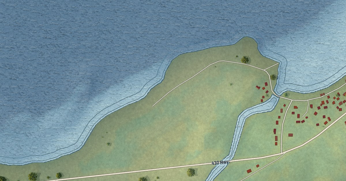
A detailed map of Green Island Brook, Newfoundland and Labrador, showing every building in its true location, the roads by name, and shaded topographical relief.
Read More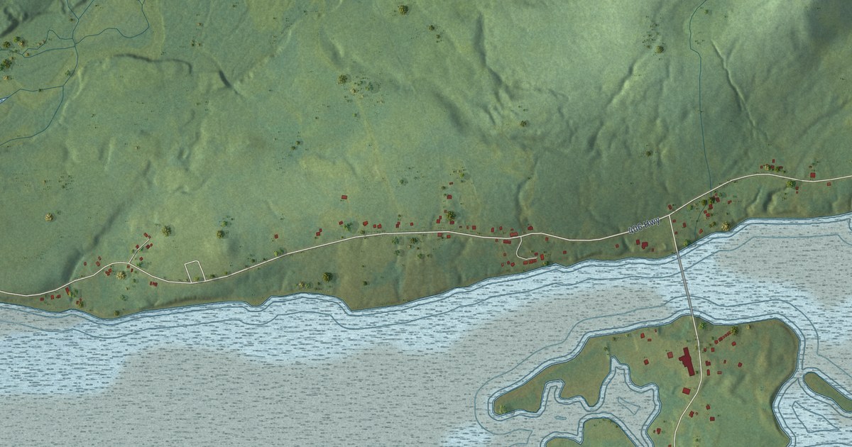
A detailed map of Great Codroy, Newfoundland and Labrador, showing every building in its true location, the roads by name, and shaded topographical relief.
Read More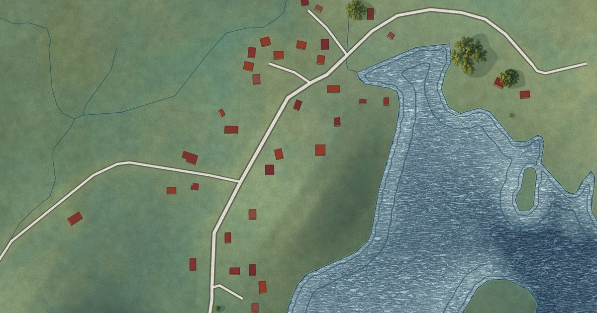
A detailed map of Great Brehat, Newfoundland and Labrador, showing every building in its true location, the roads by name, and shaded topographical relief.
Read More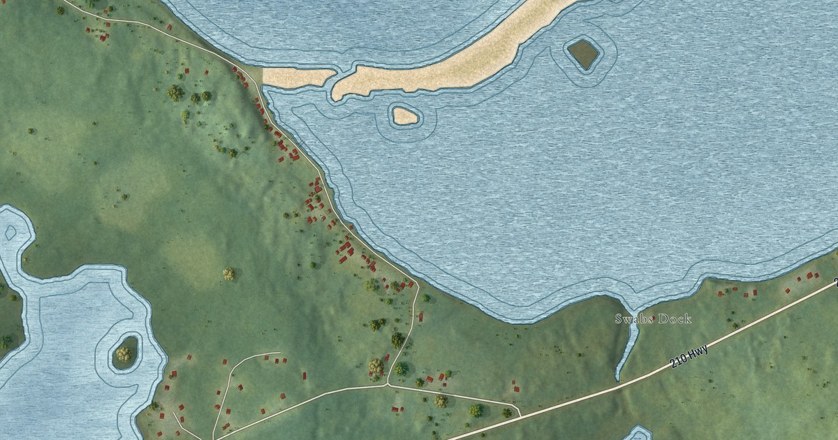
A detailed map of Grand Beach, Newfoundland and Labrador, showing every building in its true location, the roads by name, and shaded topographical relief.
Read More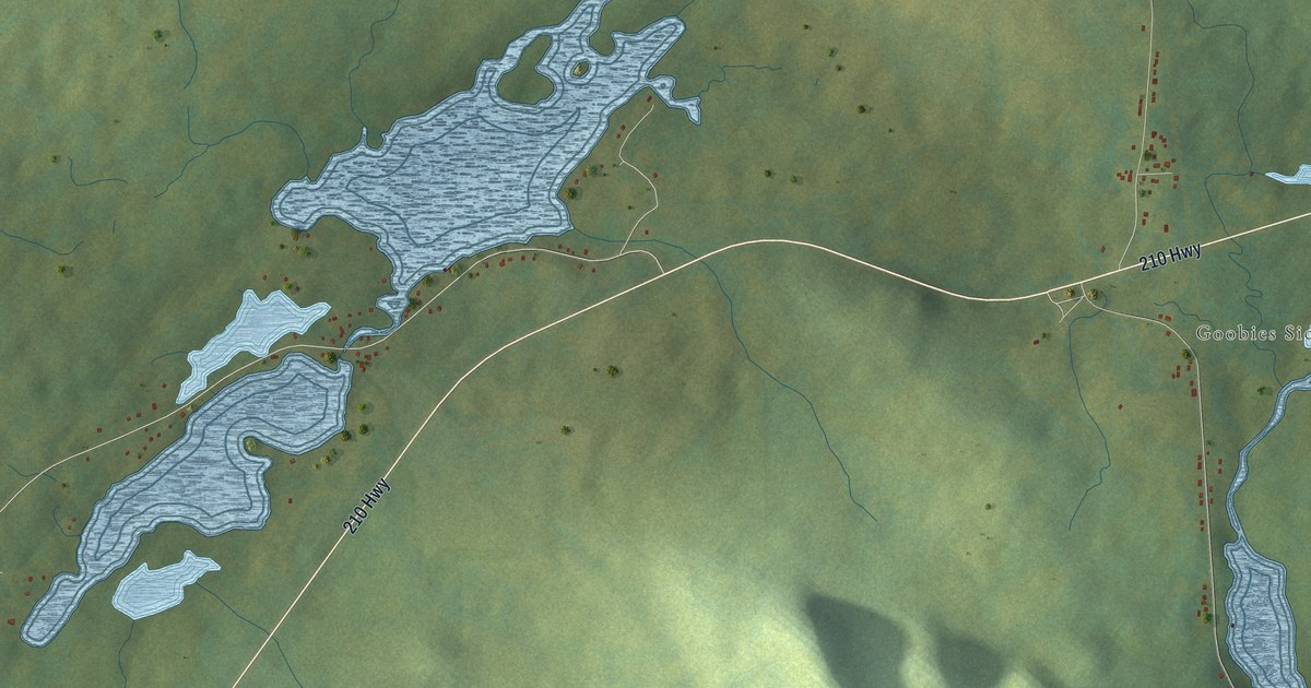
A detailed map of Goobies, Newfoundland and Labrador, showing every building in its true location, the roads by name, and shaded topographical relief.
Read More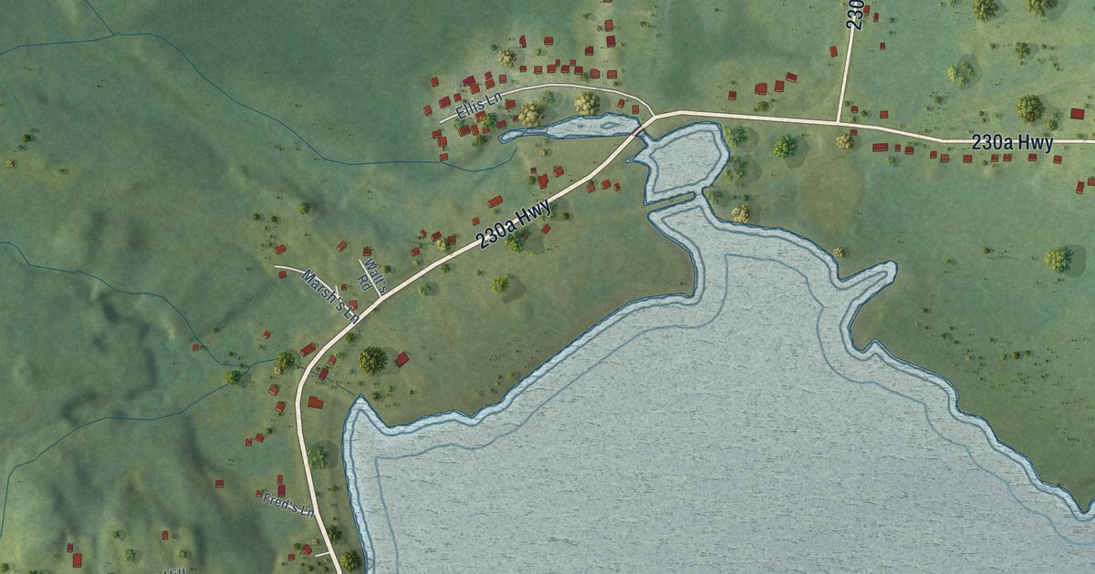
A detailed map of George’s Brook, Newfoundland and Labrador, showing every building in its true location, the roads by name, and shaded topographical relief.
Read More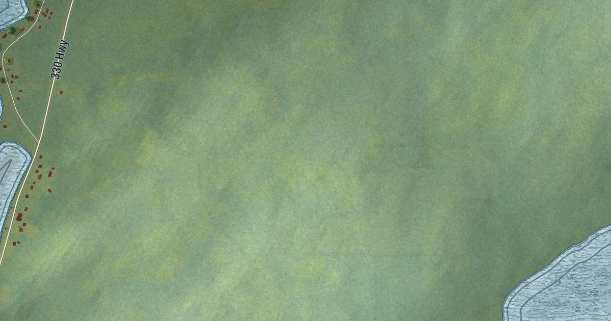
A detailed map of Gander Bay South, Newfoundland and Labrador, showing every building in its true location, the roads by name, and shaded topographical relief.
Read More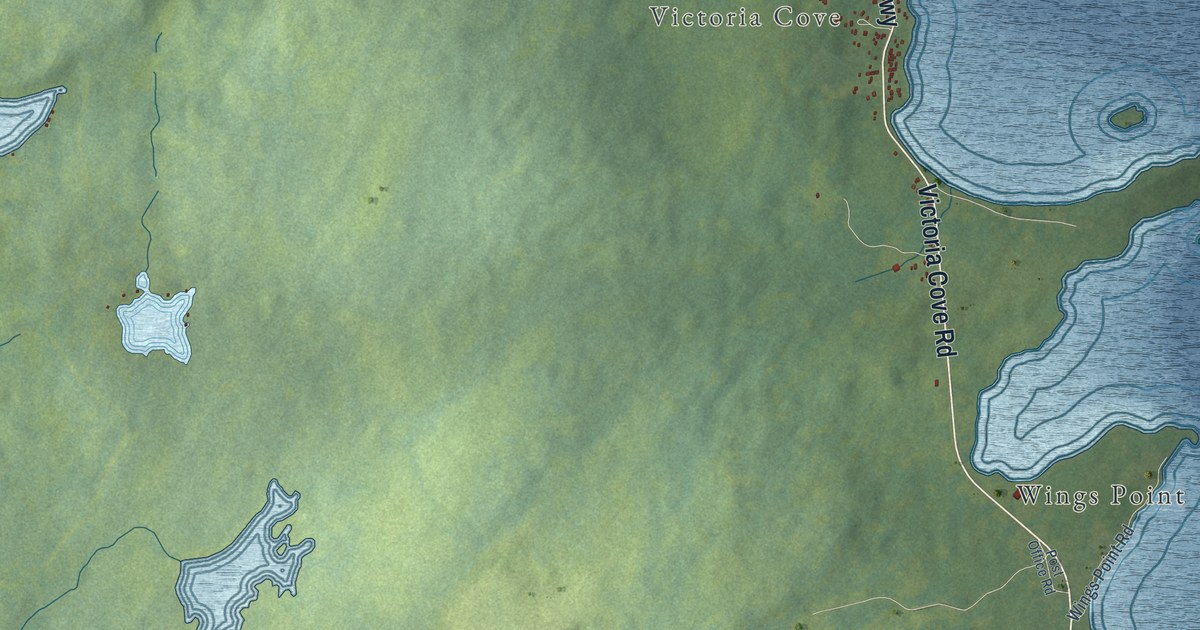
A detailed map of Gander Bay North, Newfoundland and Labrador, showing every building in its true location, the roads by name, and shaded topographical relief.
Read More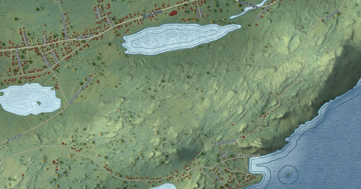
A detailed map of Freshwater, Newfoundland and Labrador, showing every building in its true location, the roads by name, and shaded topographical relief.
Read More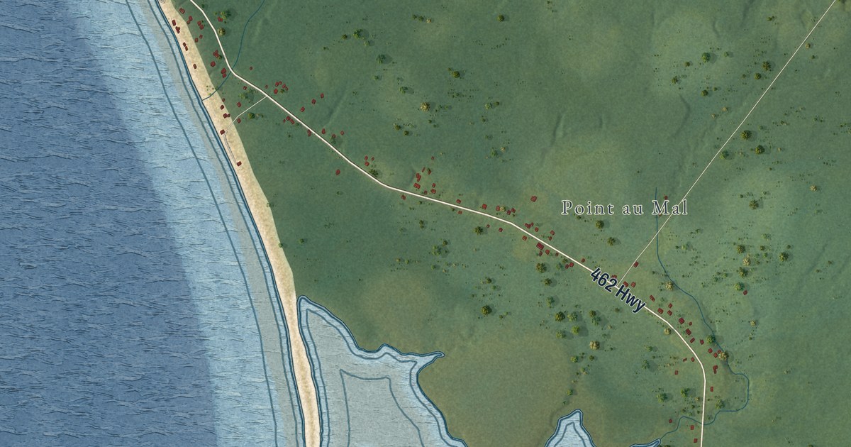
A detailed map of Fox Island River-Point au Mal, Newfoundland and Labrador, showing every building in its true location, the roads by name, and shaded topographical relief.
Read More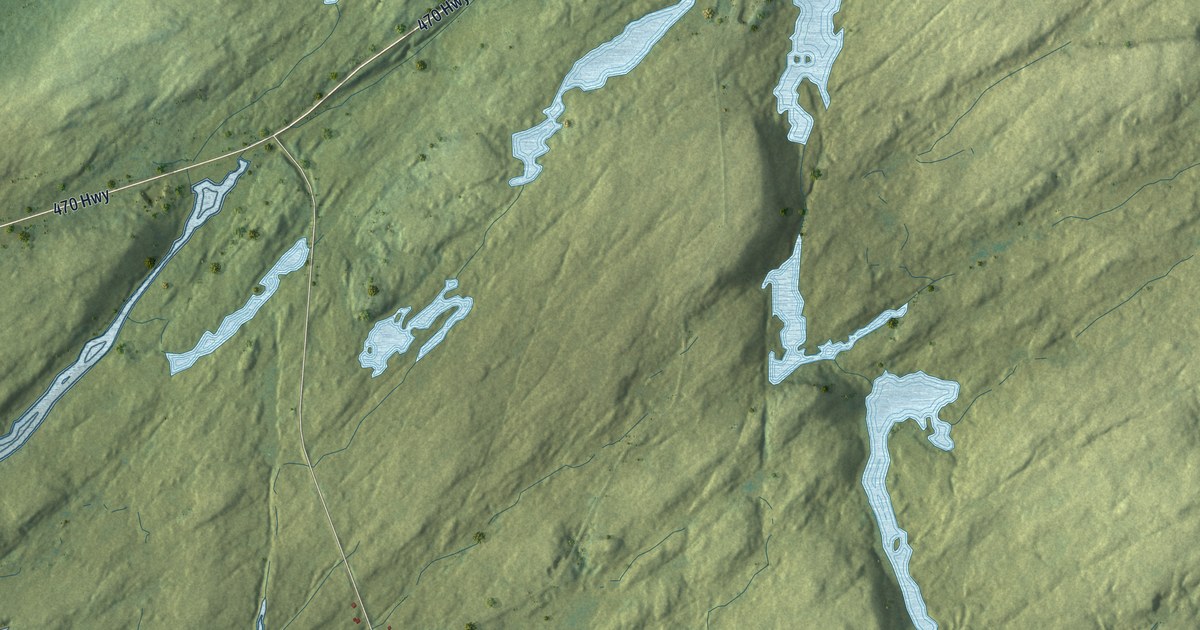
A detailed map of Fox Roost-Margaree, Newfoundland and Labrador, showing every building in its true location, the roads by name, and shaded topographical relief.
Read More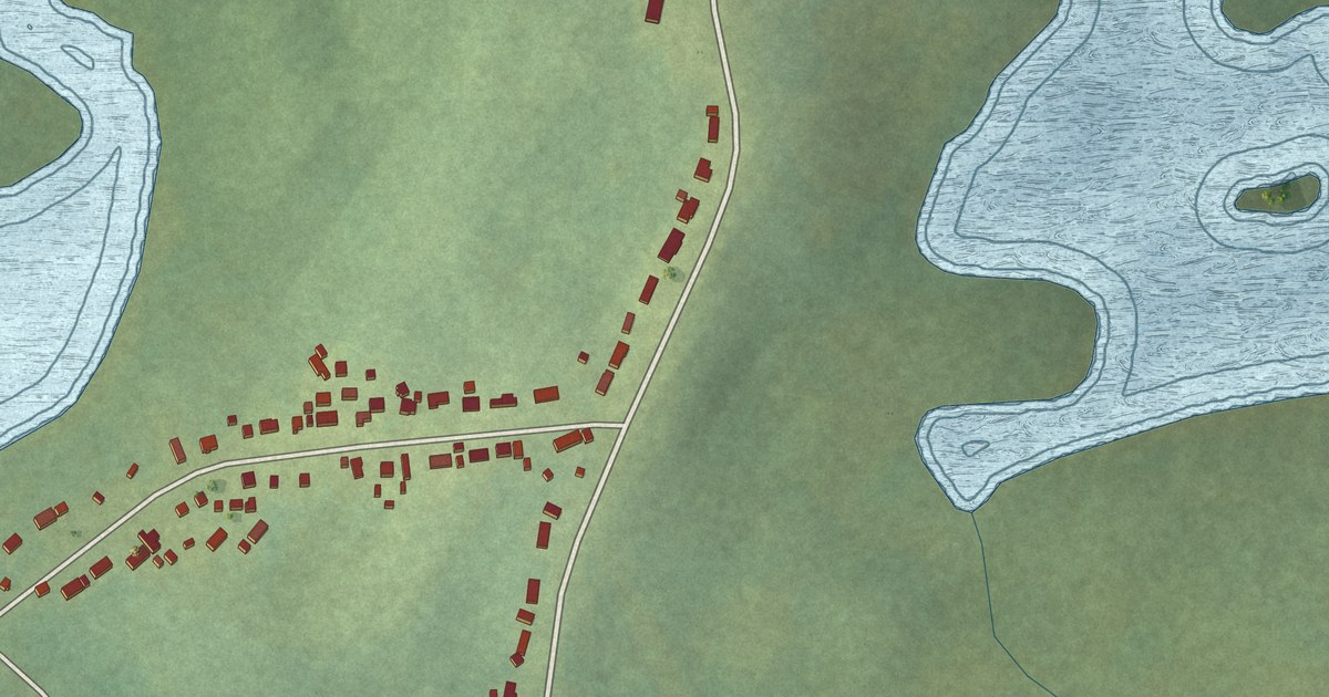
A detailed map of Forresters Point, Newfoundland and Labrador, showing every building in its true location, the roads by name, and shaded topographical relief.
Read More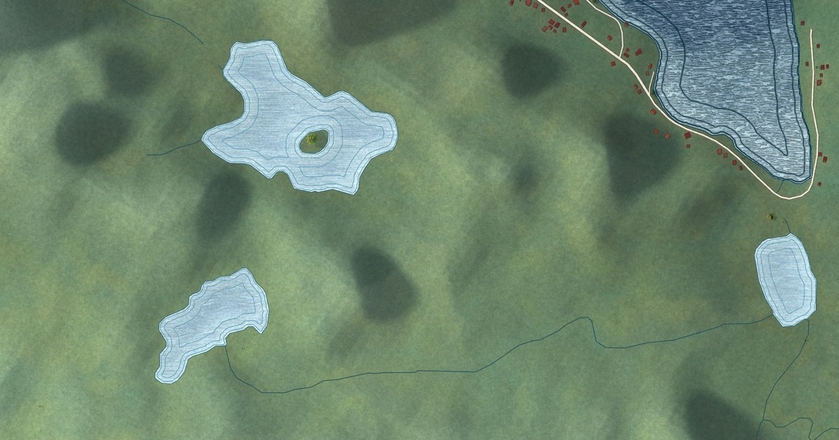
A detailed map of Fortune Harbour, Newfoundland and Labrador, showing every building in its true location, the roads by name, and shaded topographical relief.
Read More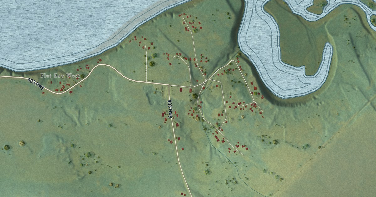
A detailed map of Flat Bay, Newfoundland and Labrador, showing every building in its true location, the roads by name, and shaded topographical relief.
Read More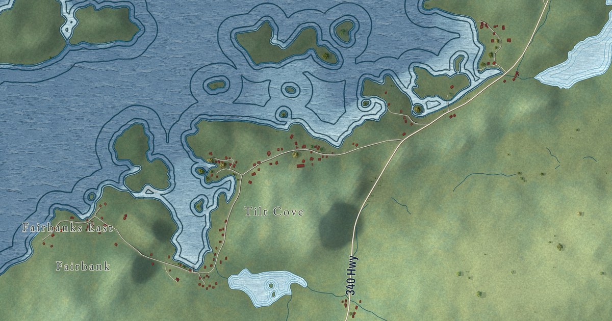
A detailed map of Fairbanks-Hillgrade, Newfoundland and Labrador, showing every building in its true location, the roads by name, and shaded topographical relief.
Read More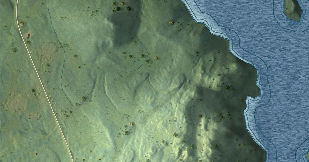
A detailed map of Epworth-Great Salmonier, Newfoundland and Labrador, showing every building in its true location, the roads by name, and shaded topographical relief.
Read More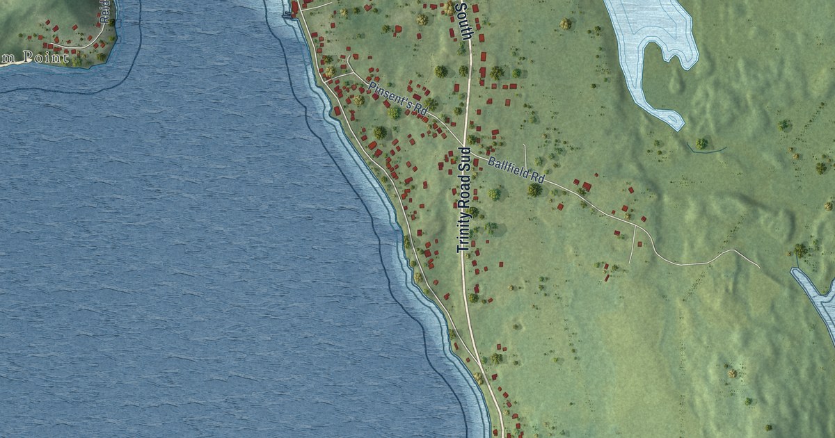
A detailed map of Dildo, Newfoundland and Labrador, showing every building in its true location, the roads by name, and shaded topographical relief.
Read More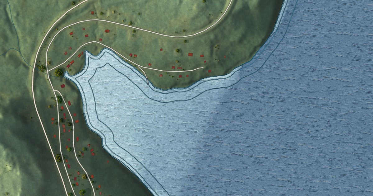
A detailed map of Deep Bight, Newfoundland and Labrador, showing every building in its true location, the roads by name, and shaded topographical relief.
Read More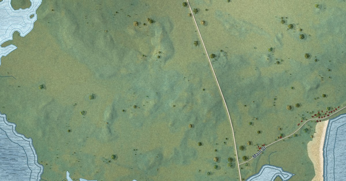
A detailed map of Deadman’s Bay, Newfoundland and Labrador, showing every building in its true location, the roads by name, and shaded topographical relief.
Read More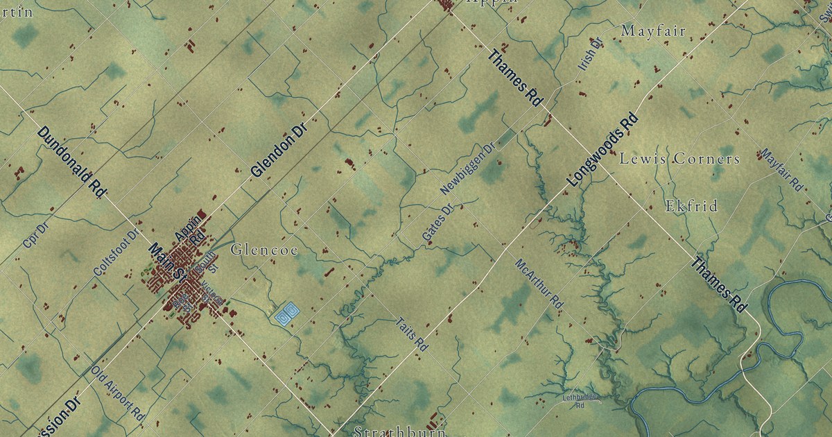
A detailed map of Southwest Middlesex, Ontario, showing every building in its true location, the roads by name, and shaded topographical relief.
Read More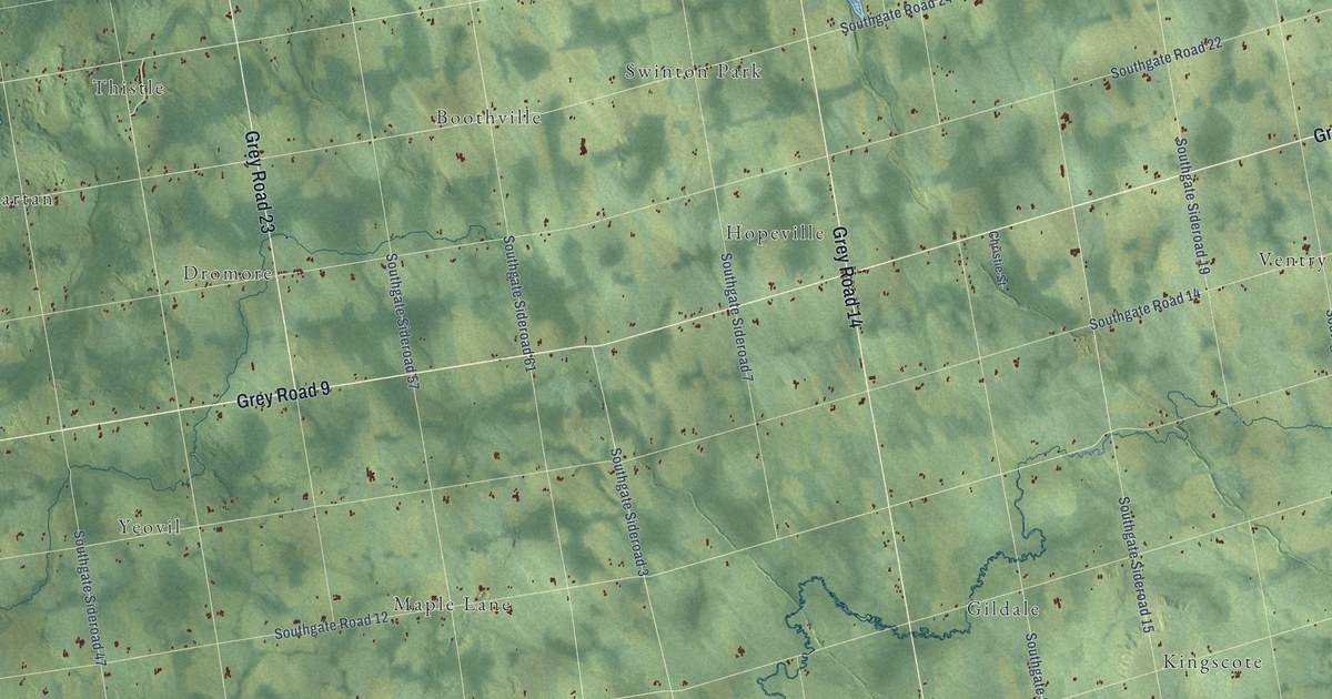
A detailed map of Southgate, Ontario, showing every building in its true location, the roads by name, and shaded topographical relief.
Read More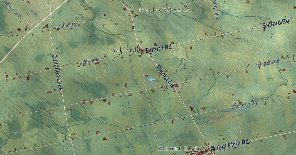
A detailed map of South-West Oxford, Ontario, showing every building in its true location, the roads by name, and shaded topographical relief.
Read More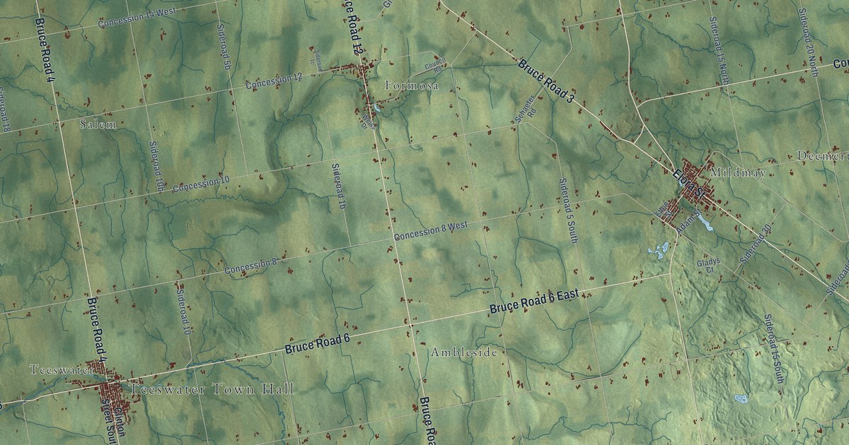
A detailed map of South Bruce, Ontario, showing every building in its true location, the roads by name, and shaded topographical relief.
Read More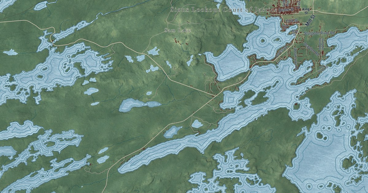
A detailed map of Sioux Lookout, Ontario, showing every building in its true location, the roads by name, and shaded topographical relief.
Read More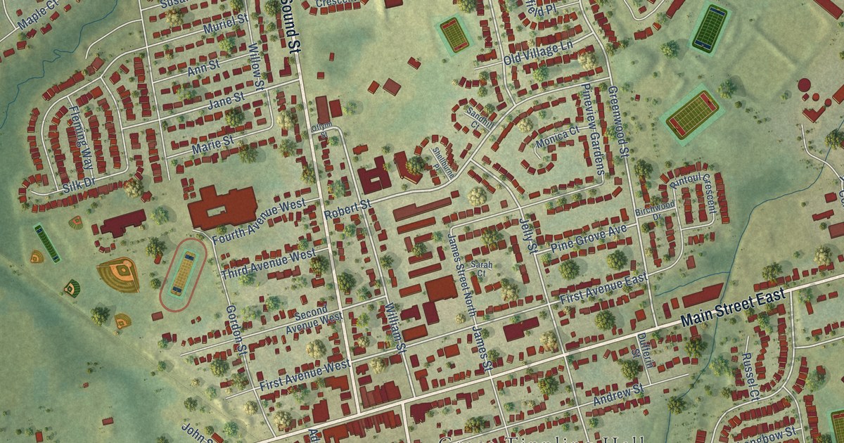
A detailed map of Shelburne, Ontario, showing every building in its true location, the roads by name, and shaded topographical relief.
Read More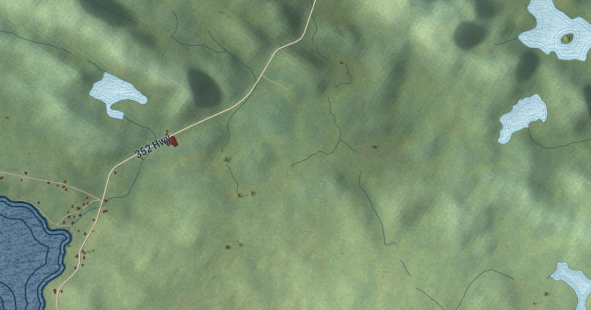
A detailed map of Cottrell’s Cove, Newfoundland and Labrador, showing every building in its true location, the roads by name, and shaded topographical relief.
Read More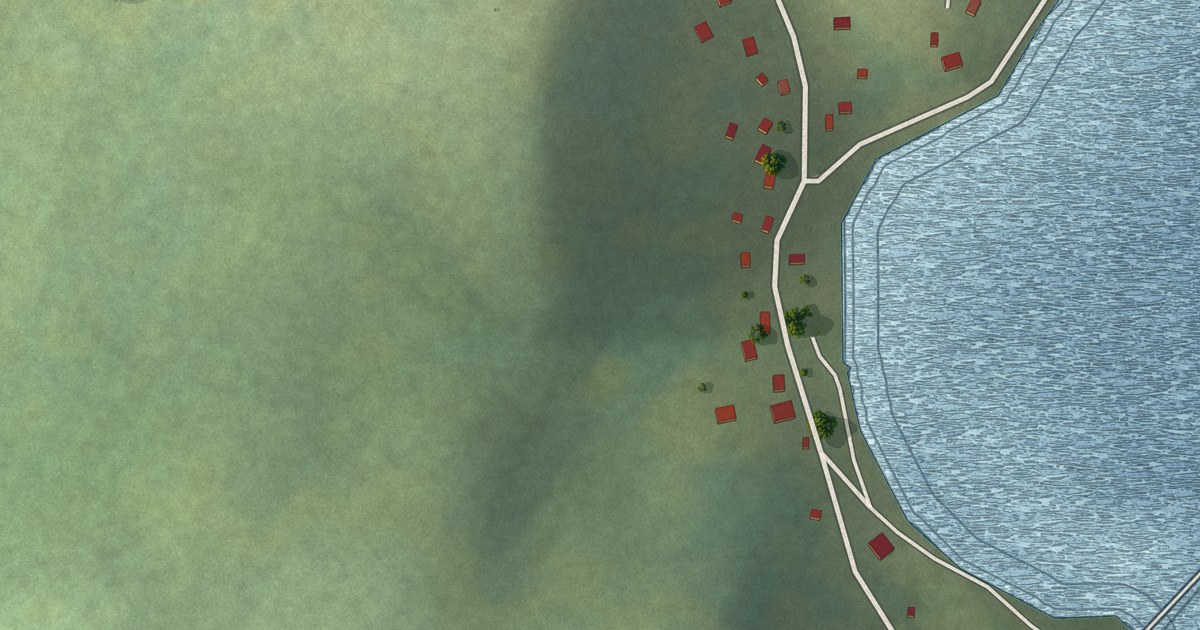
A detailed map of Charlottetown, B. Bay, Newfoundland and Labrador, showing every building in its true location, the roads by name, and shaded topographical relief.
Read More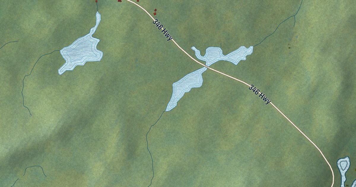
A detailed map of Cobbs Arm, Newfoundland and Labrador, showing every building in its true location, the roads by name, and shaded topographical relief.
Read More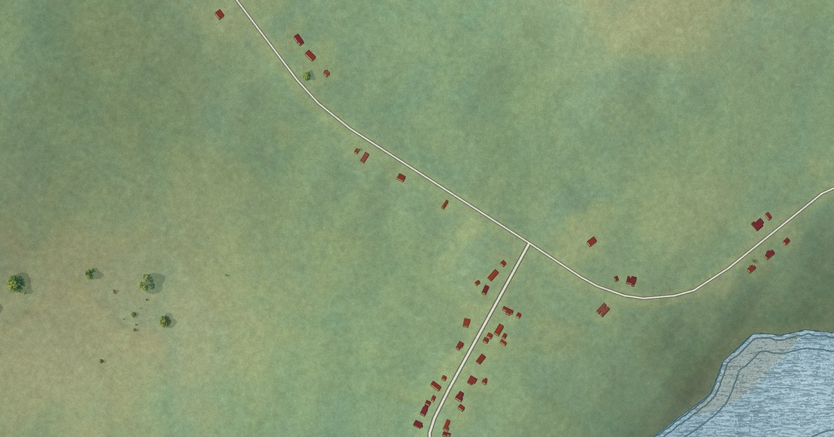
A detailed map of Castor River North, Newfoundland and Labrador, showing every building in its true location, the roads by name, and shaded topographical relief.
Read More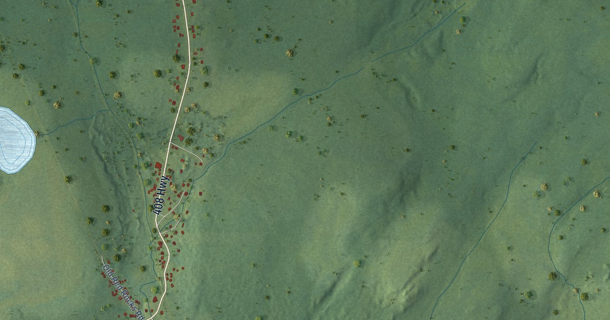
A detailed map of Cape Ray, Newfoundland and Labrador, showing every building in its true location, the roads by name, and shaded topographical relief.
Read More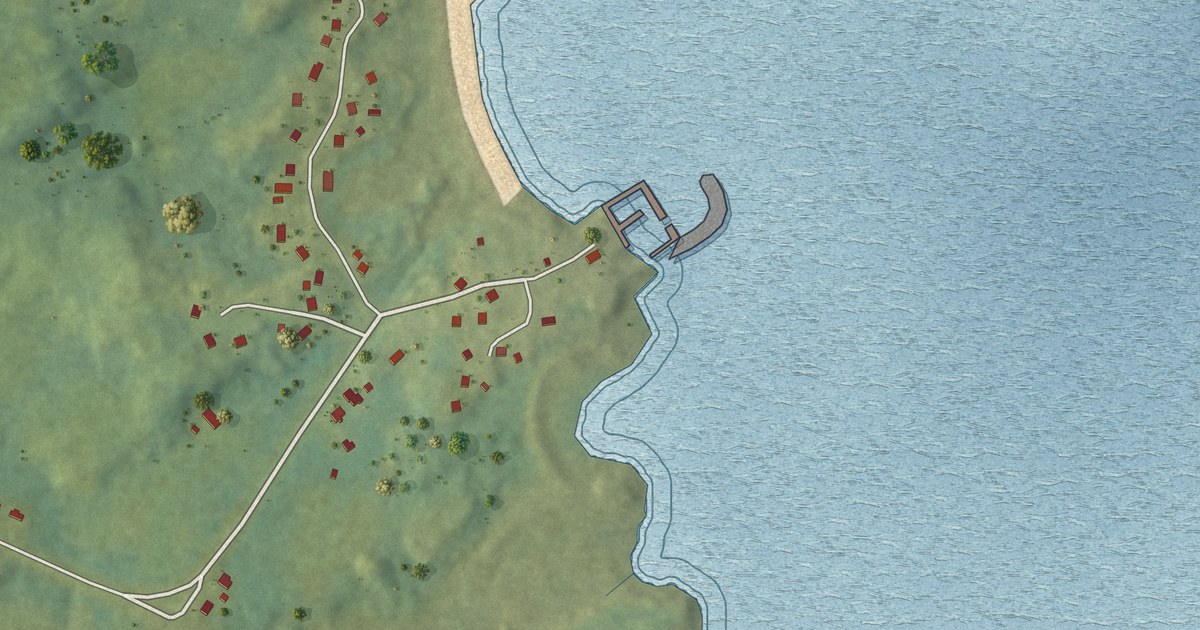
A detailed map of Cape Freels North, Newfoundland and Labrador, showing every building in its true location, the roads by name, and shaded topographical relief.
Read More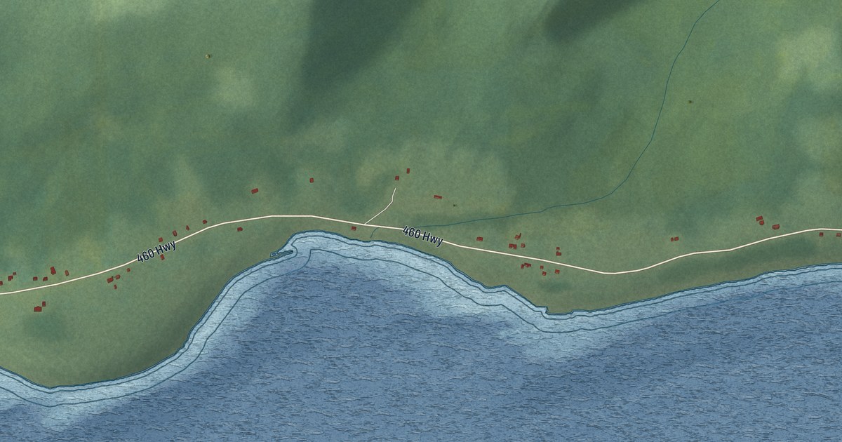
A detailed map of Campbells Creek, Newfoundland and Labrador, showing every building in its true location, the roads by name, and shaded topographical relief.
Read More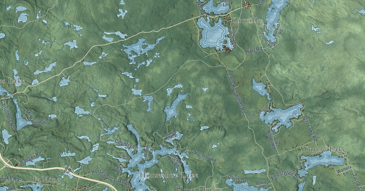
A detailed map of Seguin, Ontario, showing every building in its true location, the roads by name, and shaded topographical relief.
Read More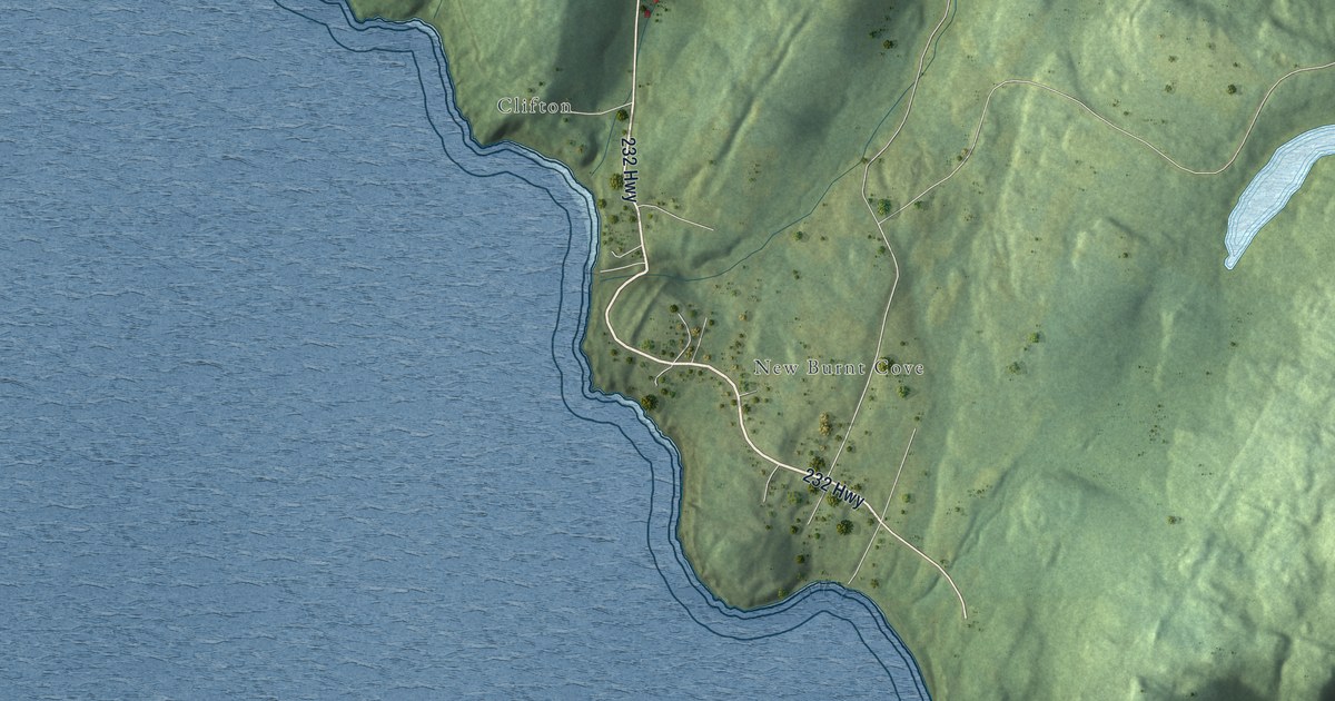
A detailed map of Burgoynes Cove, Newfoundland and Labrador, showing every building in its true location, the roads by name, and shaded topographical relief.
Read More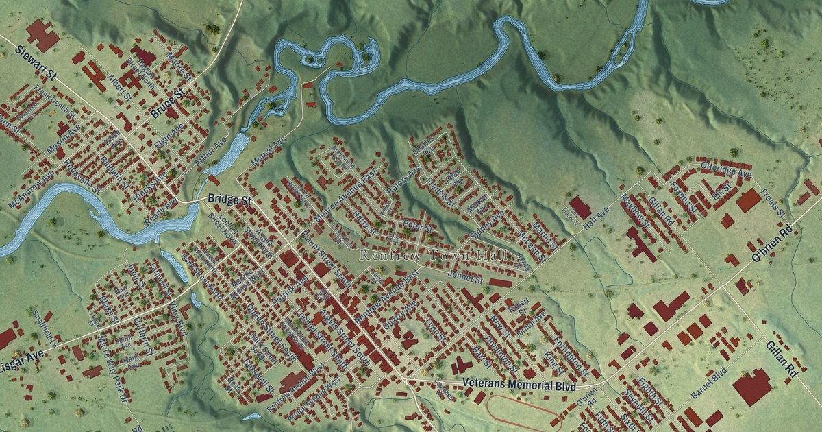
A detailed map of Renfrew, Ontario, showing every building in its true location, the roads by name, and shaded topographical relief.
Read More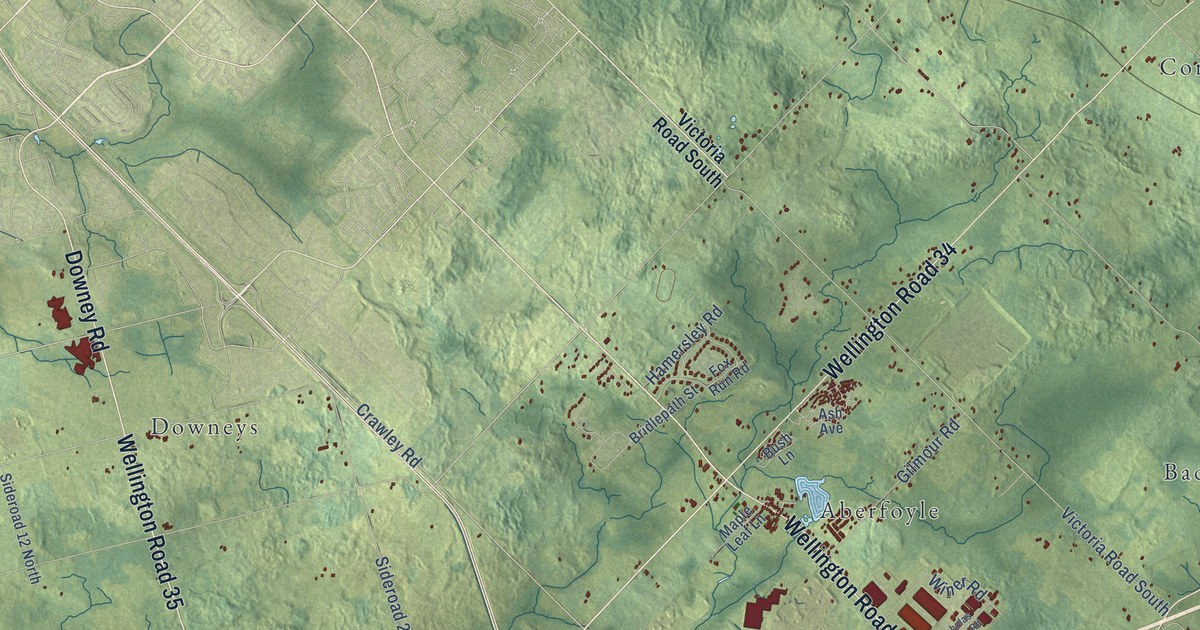
A detailed map of Puslinch, Ontario, showing every building in its true location, the roads by name, and shaded topographical relief.
Read More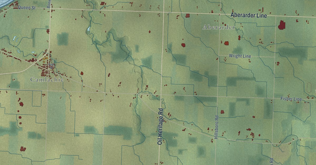
A detailed map of Plympton-Wyoming, Ontario, showing every building in its true location, the roads by name, and shaded topographical relief.
Read More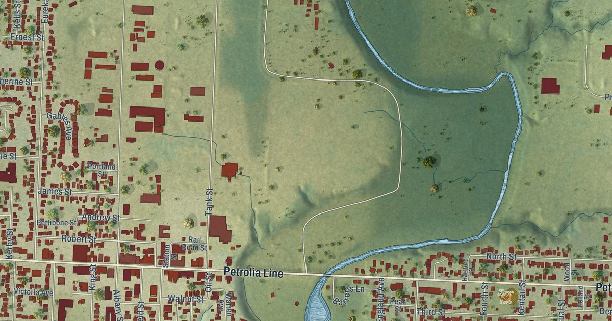
A detailed map of Petrolia, Ontario, showing every building in its true location, the roads by name, and shaded topographical relief.
Read More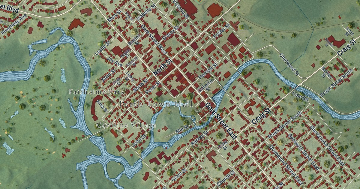
A detailed map of Perth, Ontario, showing every building in its true location, the roads by name, and shaded topographical relief.
Read More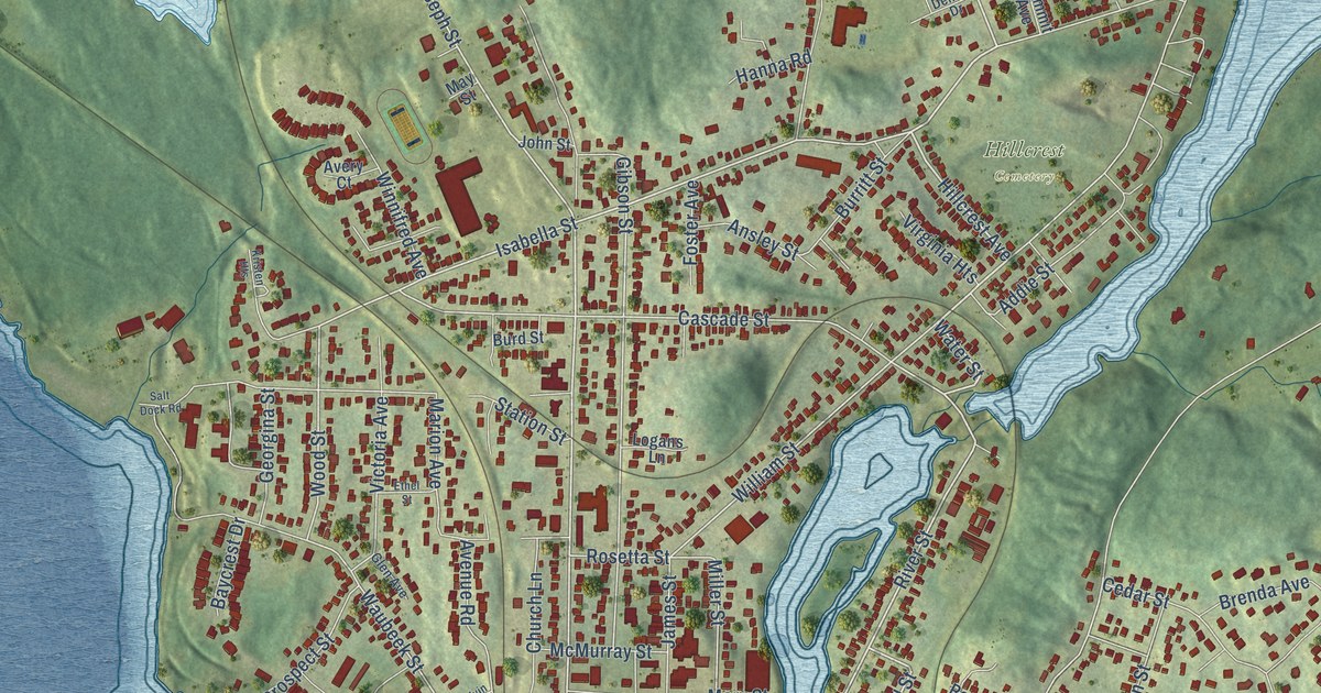
A detailed map of Parry Sound, Ontario, showing every building in its true location, the roads by name, and shaded topographical relief.
Read More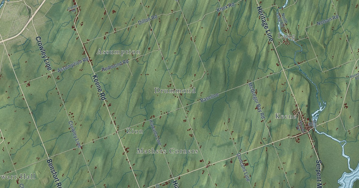
A detailed map of Otonabee-South Monaghan, Ontario, showing every building in its true location, the roads by name, and shaded topographical relief.
Read More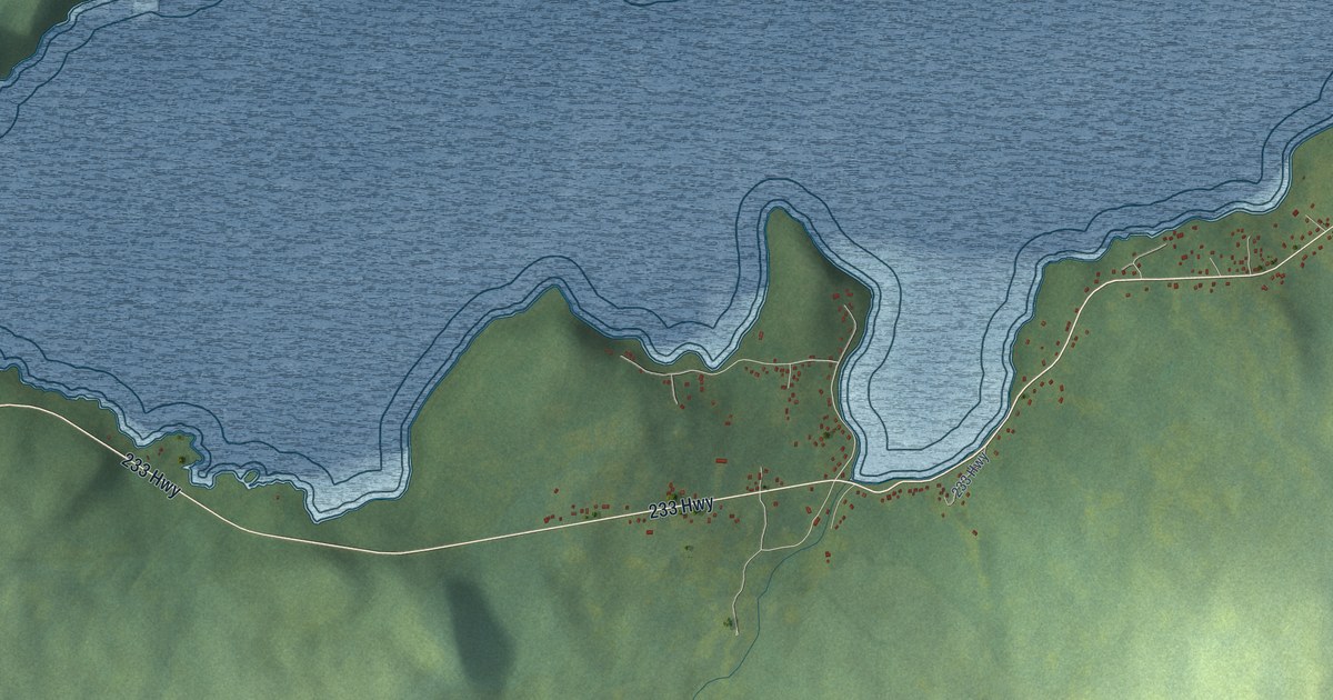
A detailed map of Bunyan’s Cove, Newfoundland and Labrador, showing every building in its true location, the roads by name, and shaded topographical relief.
Read More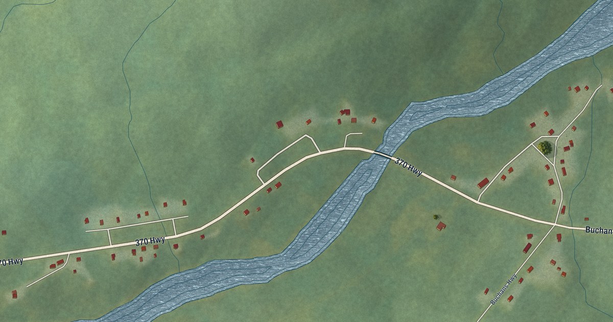
A detailed map of Buchans Junction, Newfoundland and Labrador, showing every building in its true location, the roads by name, and shaded topographical relief.
Read More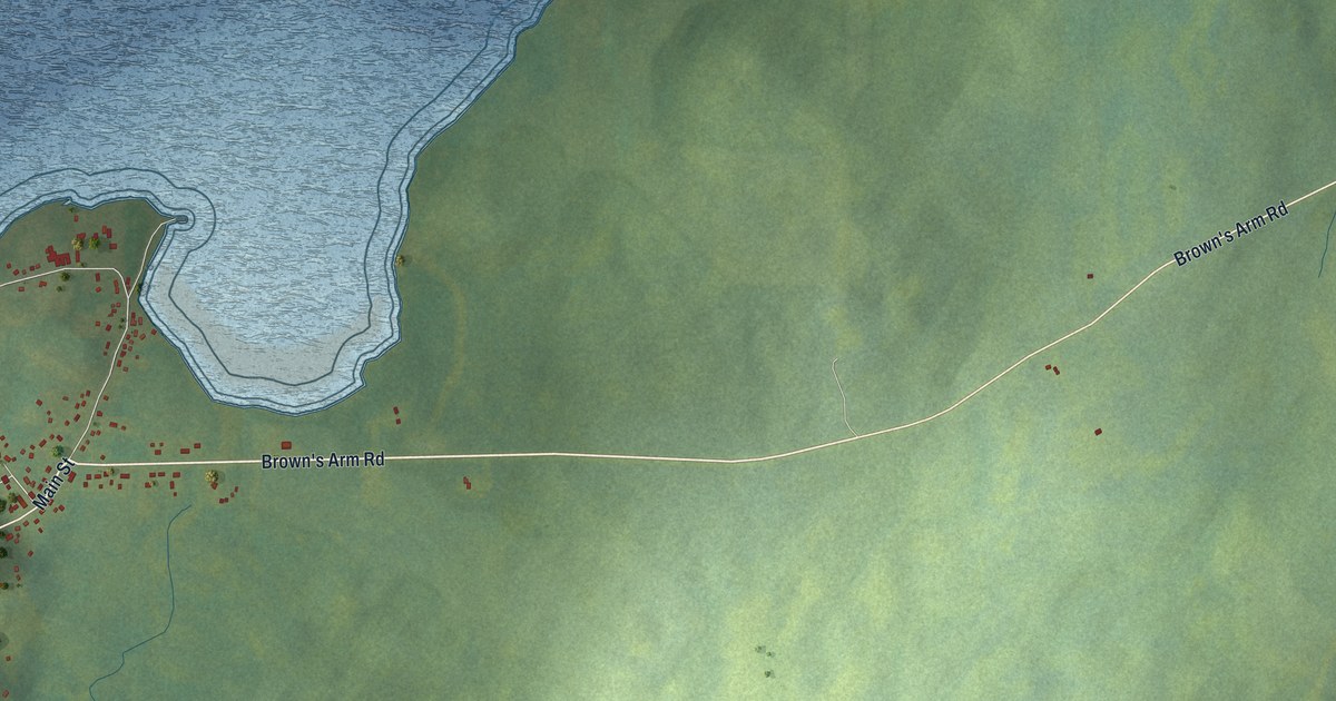
A detailed map of Brown’s Arm, Newfoundland and Labrador, showing every building in its true location, the roads by name, and shaded topographical relief.
Read More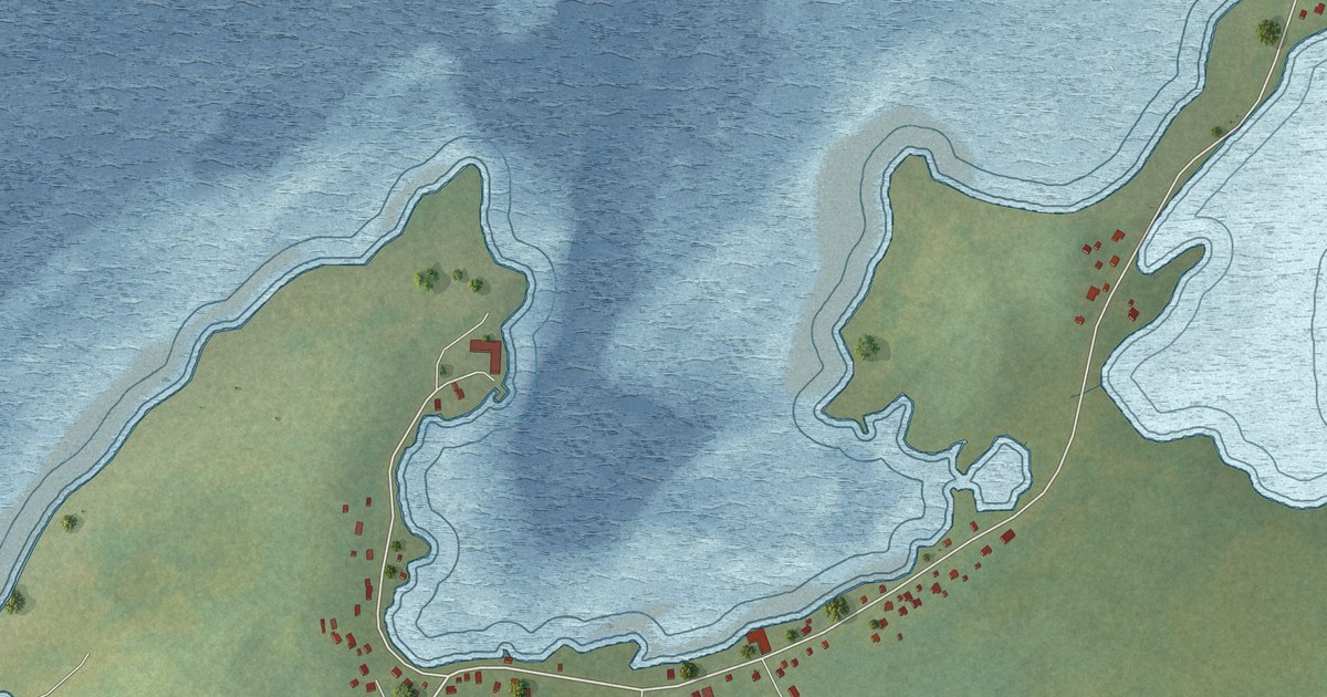
A detailed map of Brig Bay, Newfoundland and Labrador, showing every building in its true location, the roads by name, and shaded topographical relief.
Read More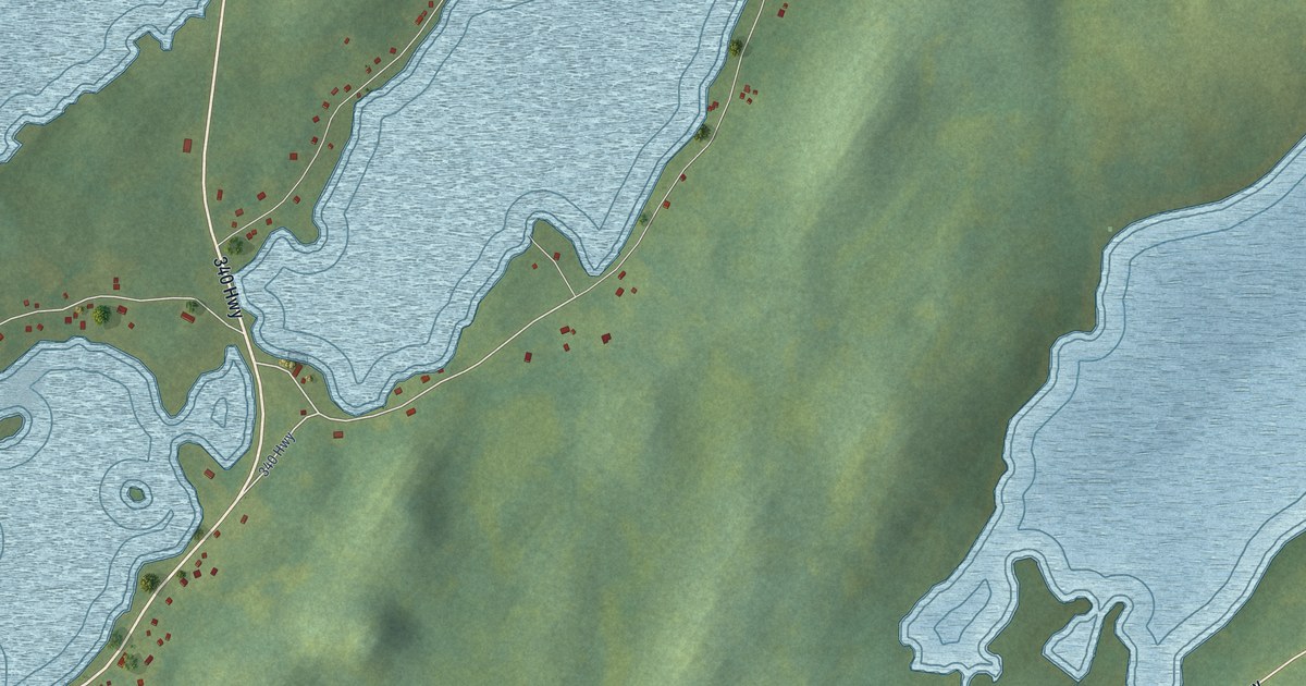
A detailed map of Boyd’s Cove, Newfoundland and Labrador, showing every building in its true location, the roads by name, and shaded topographical relief.
Read More















