Detailed Map of Blaketown, Newfoundland and Labrador
A detailed map of Blaketown, Newfoundland and Labrador, showing every building in its true location, the roads by name, and shaded topographical relief.
Read More
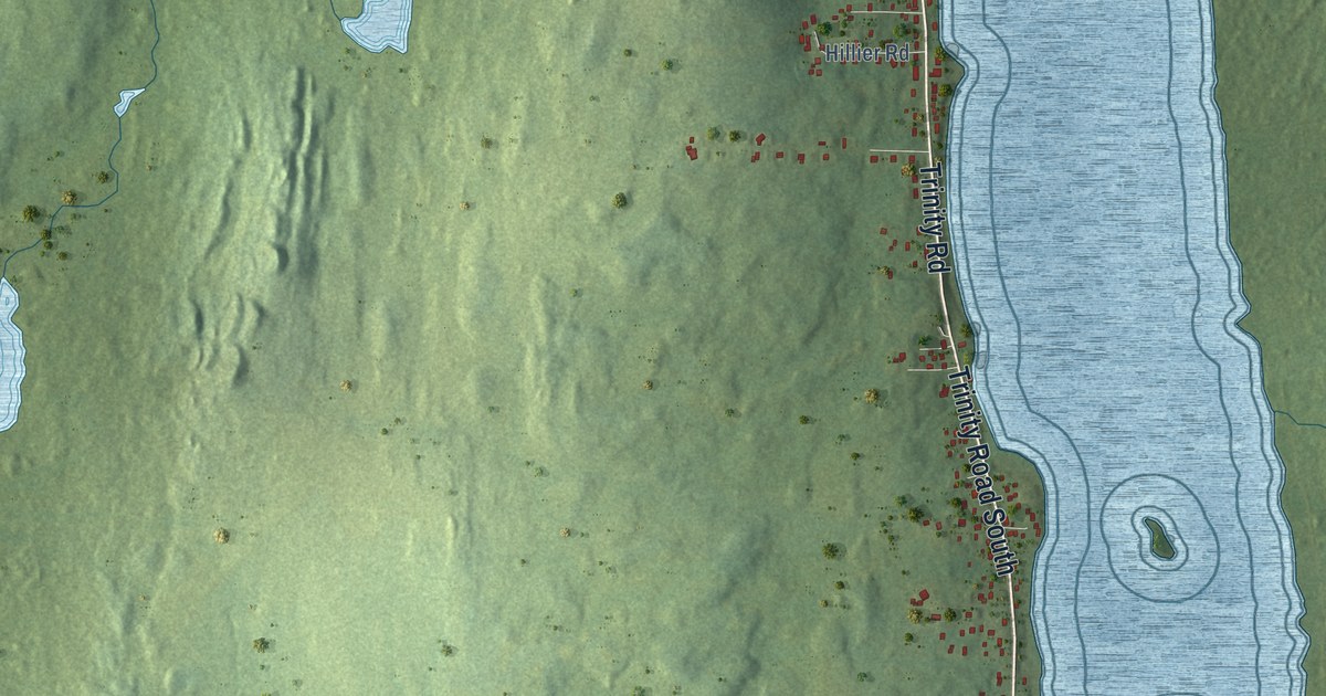
A detailed map of Blaketown, Newfoundland and Labrador, showing every building in its true location, the roads by name, and shaded topographical relief.
Read More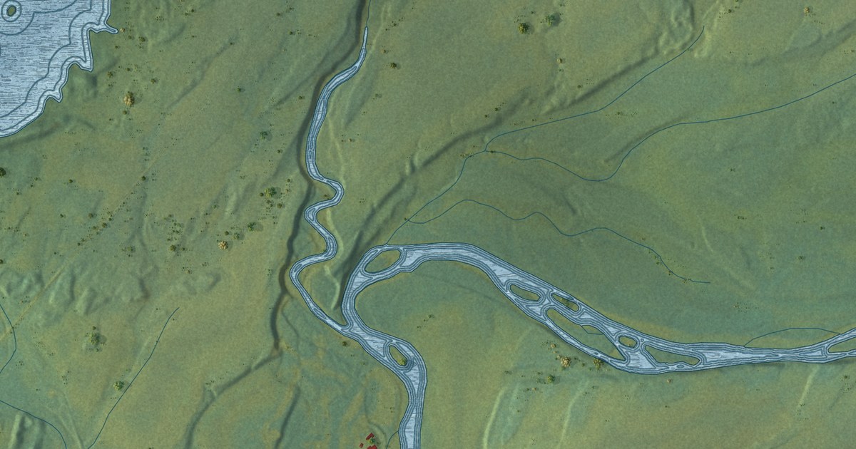
A detailed map of Black Duck, Newfoundland and Labrador, showing every building in its true location, the roads by name, and shaded topographical relief.
Read More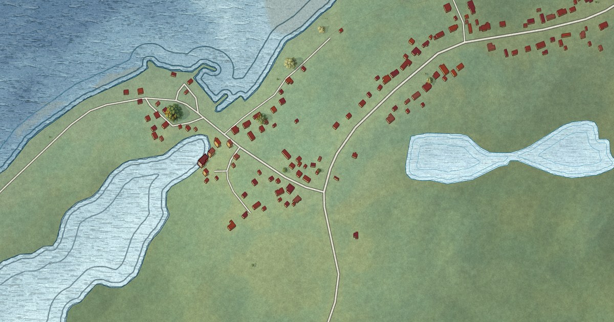
A detailed map of Black Duck Cove, Newfoundland and Labrador, showing every building in its true location, the roads by name, and shaded topographical relief.
Read More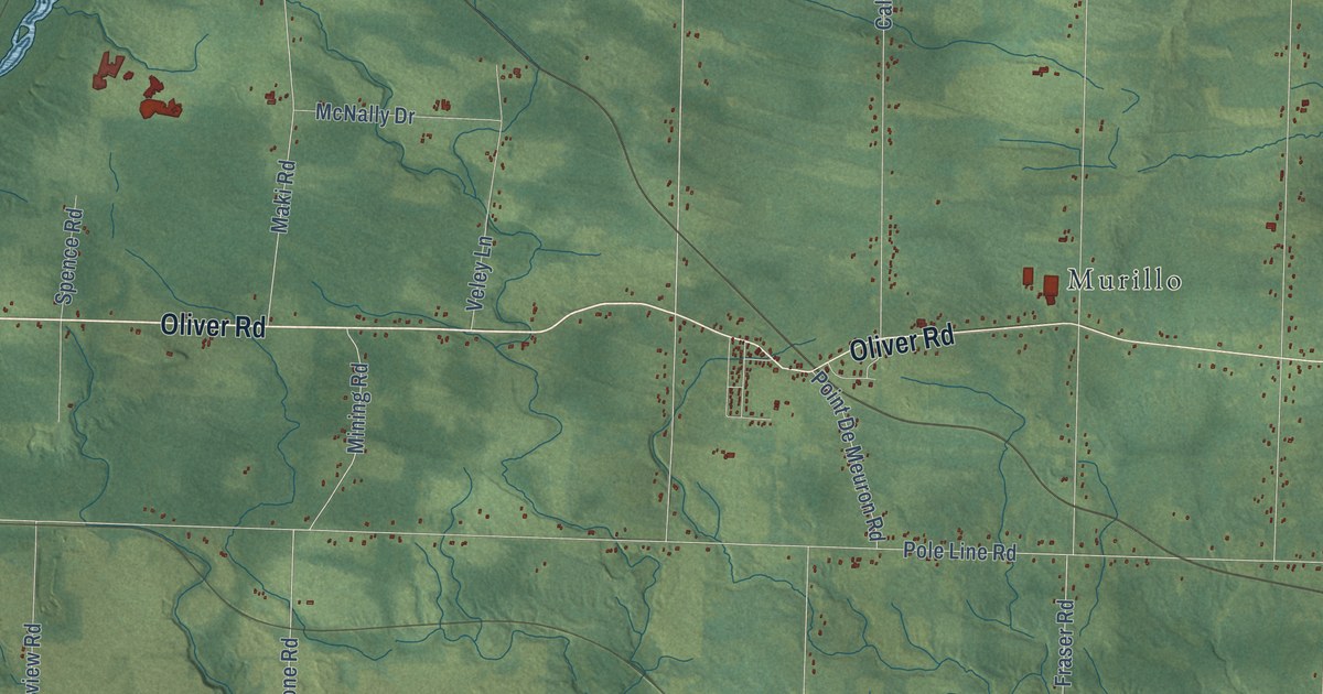
A detailed map of Oliver Paipoonge, Ontario, showing every building in its true location, the roads by name, and shaded topographical relief.
Read More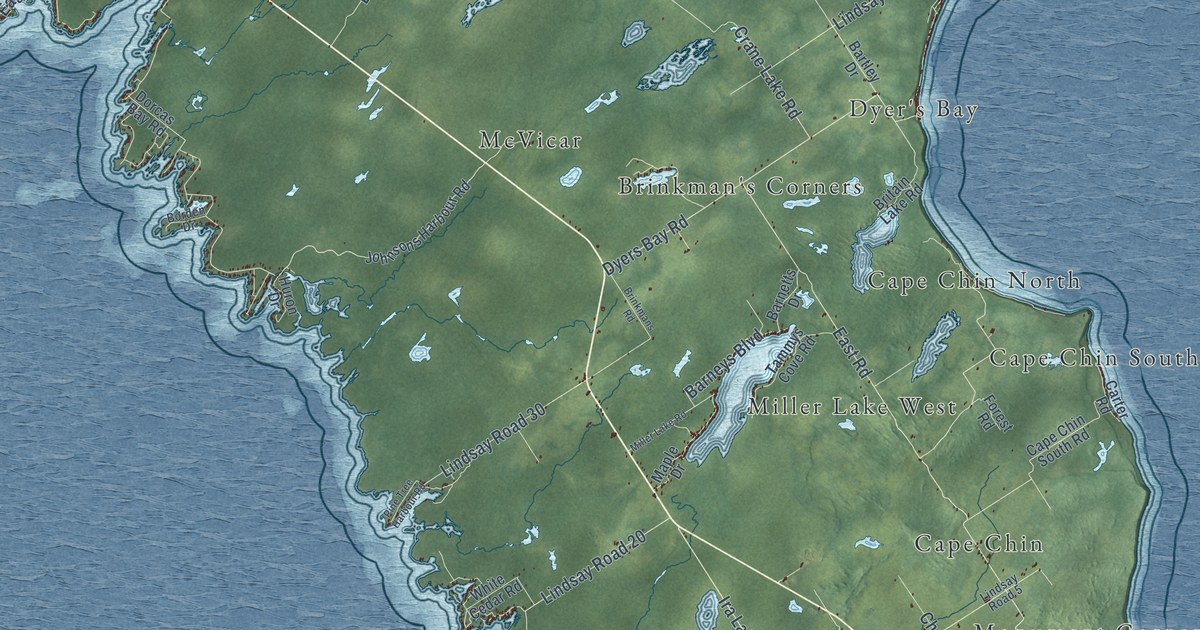
A detailed map of Northern Bruce Peninsula, Ontario, showing every building in its true location, the roads by name, and shaded topographical relief.
Read More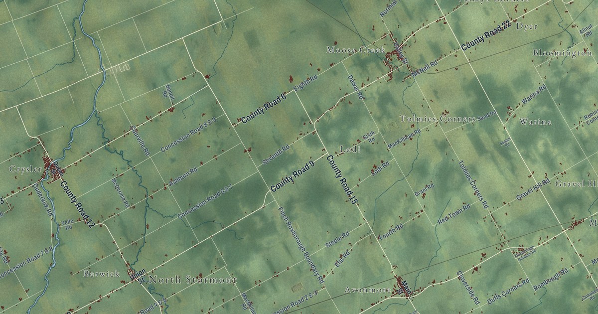
A detailed map of North Stormont, Ontario, showing every building in its true location, the roads by name, and shaded topographical relief.
Read More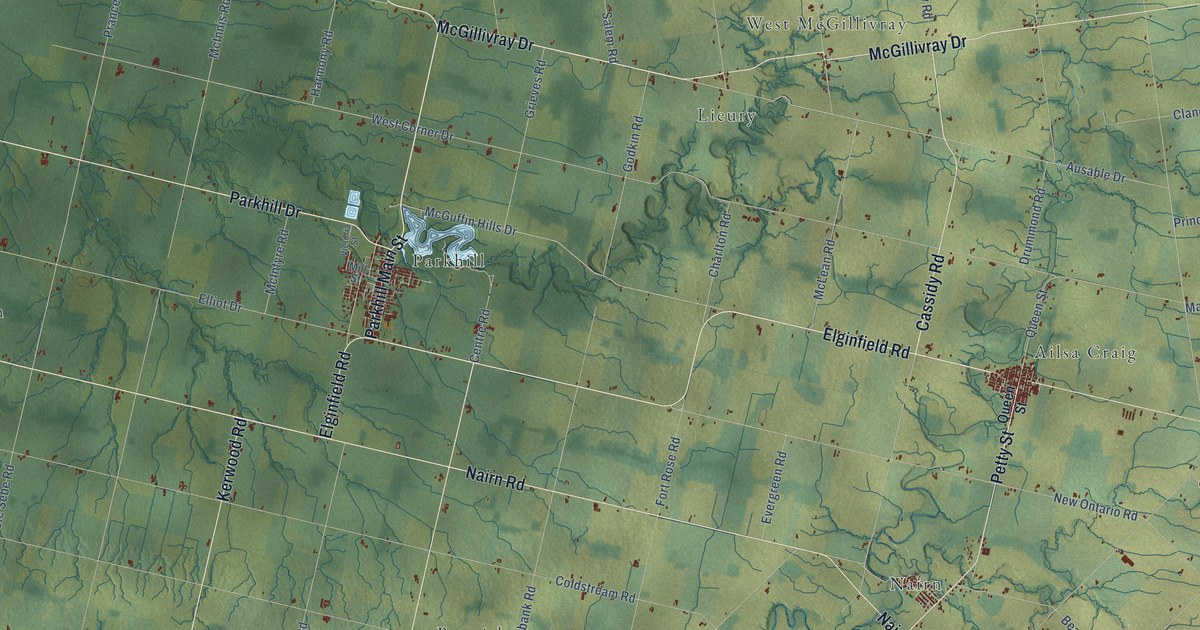
A detailed map of North Middlesex, Ontario, showing every building in its true location, the roads by name, and shaded topographical relief.
Read More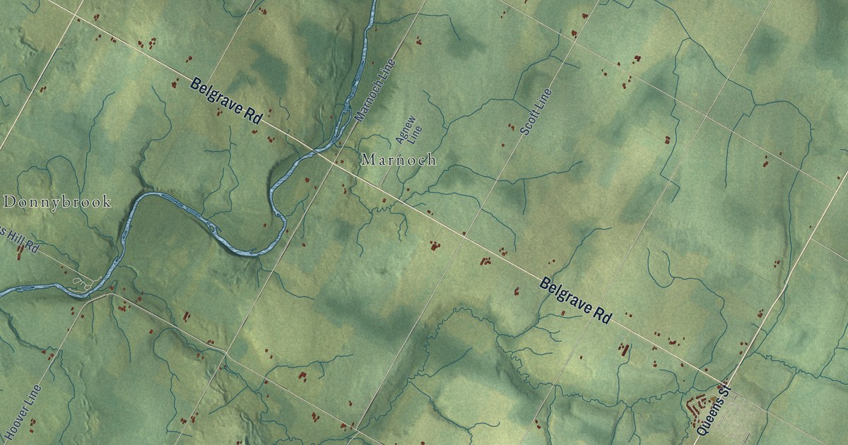
A detailed map of North Huron, Ontario, showing every building in its true location, the roads by name, and shaded topographical relief.
Read More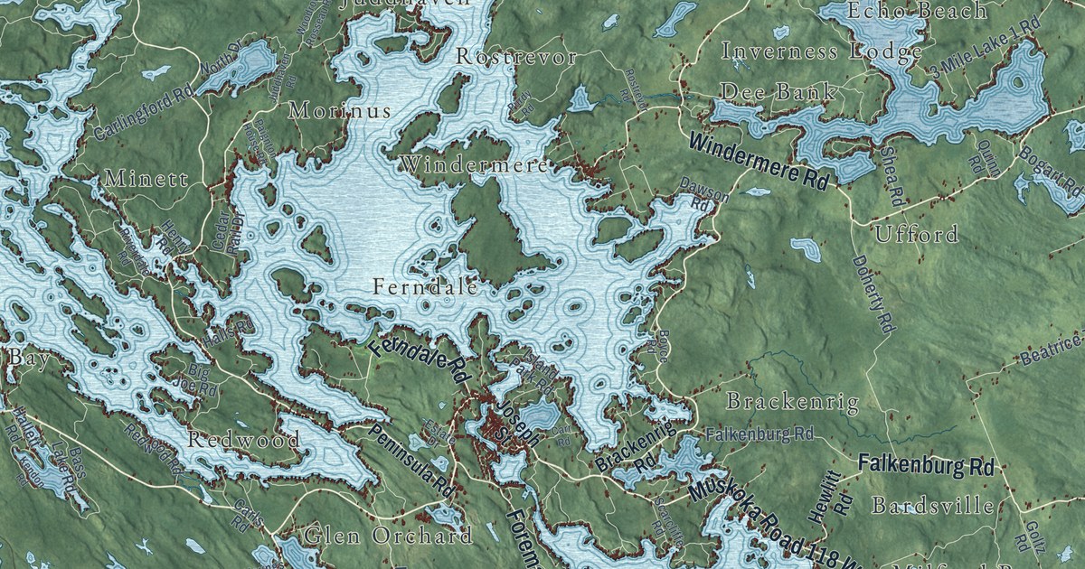
A detailed map of Muskoka Lakes, Ontario, showing every building in its true location, the roads by name, and shaded topographical relief.
Read More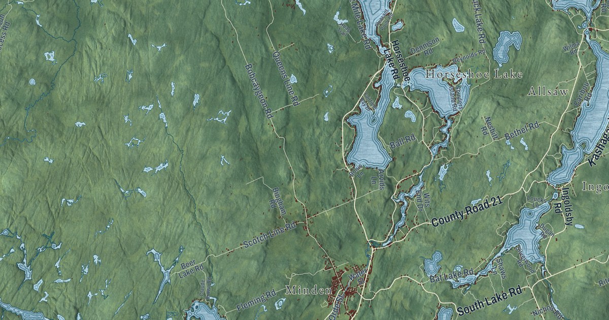
A detailed map of Minden Hills, Ontario, showing every building in its true location, the roads by name, and shaded topographical relief.
Read More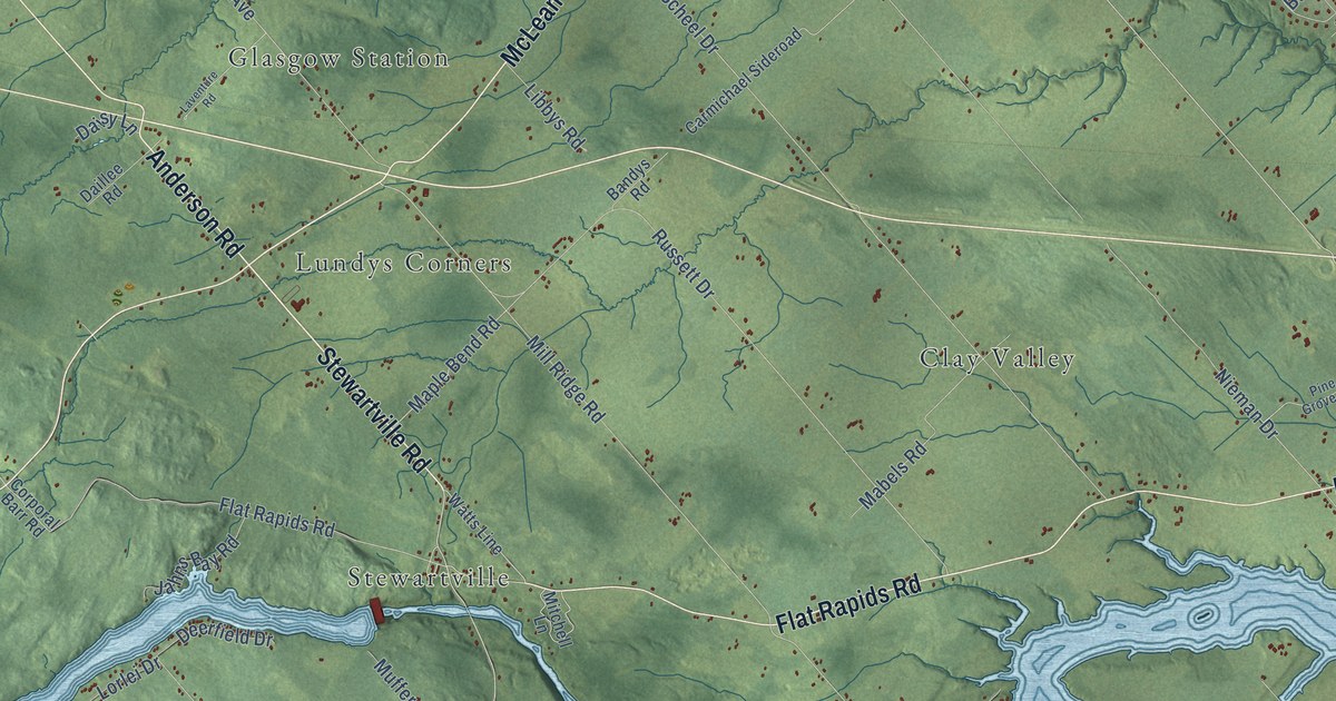
A detailed map of McNab-Braeside, Ontario, showing every building in its true location, the roads by name, and shaded topographical relief.
Read More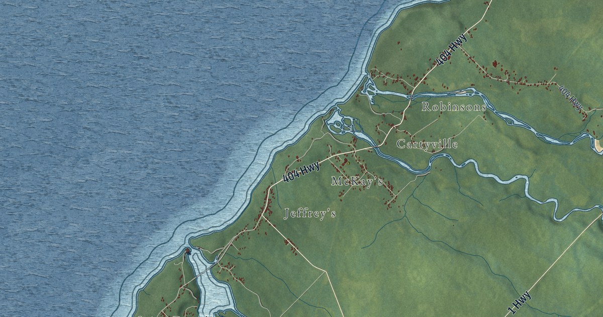
A detailed map of Bay St. George South, Newfoundland and Labrador, showing every building in its true location, the roads by name, and shaded topographical relief.
Read More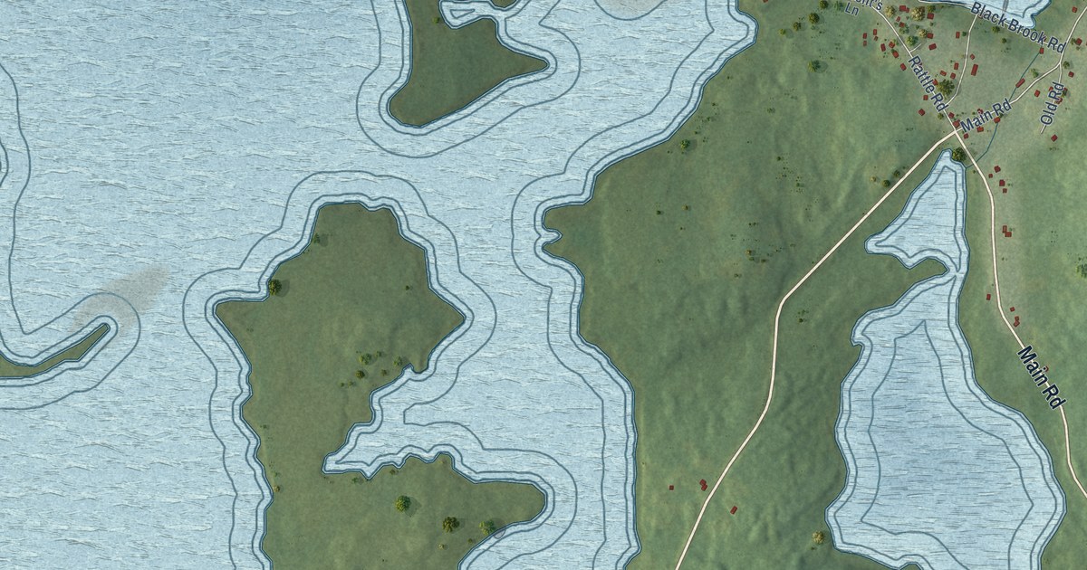
A detailed map of Bellevue, Newfoundland and Labrador, showing every building in its true location, the roads by name, and shaded topographical relief.
Read More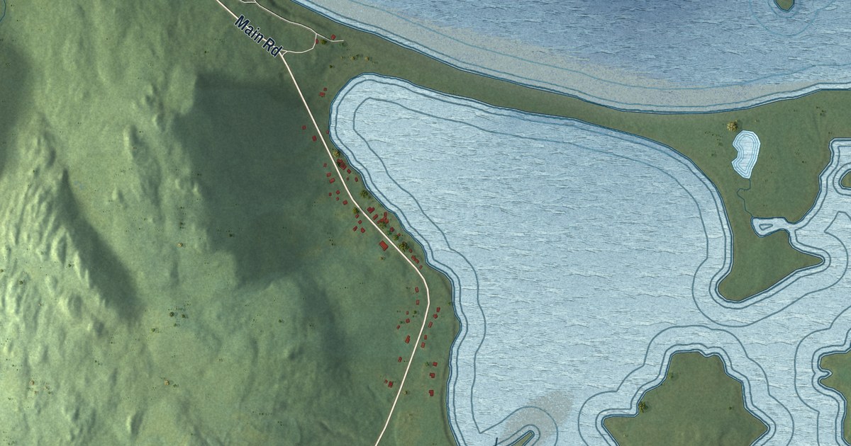
A detailed map of Bellevue Beach, Newfoundland and Labrador, showing every building in its true location, the roads by name, and shaded topographical relief.
Read More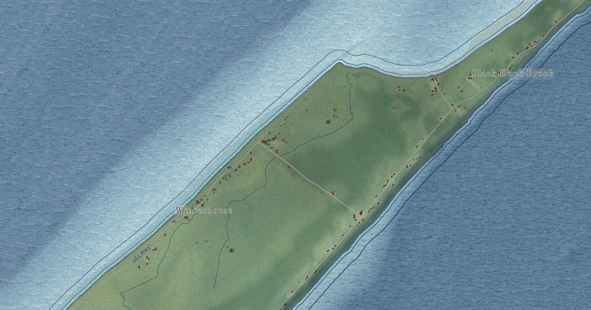
A detailed map of Black Duck Brook-Winterhouse, Newfoundland and Labrador, showing every building in its true location, the roads by name, and shaded topographical relief.
Read More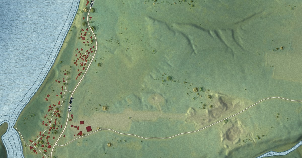
A detailed map of Barachois Brook, Newfoundland and Labrador, showing every building in its true location, the roads by name, and shaded topographical relief.
Read More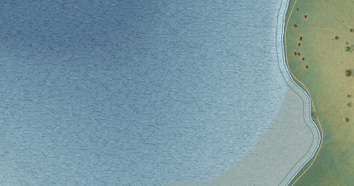
A detailed map of Aspen Cove, Newfoundland and Labrador, showing every building in its true location, the roads by name, and shaded topographical relief.
Read More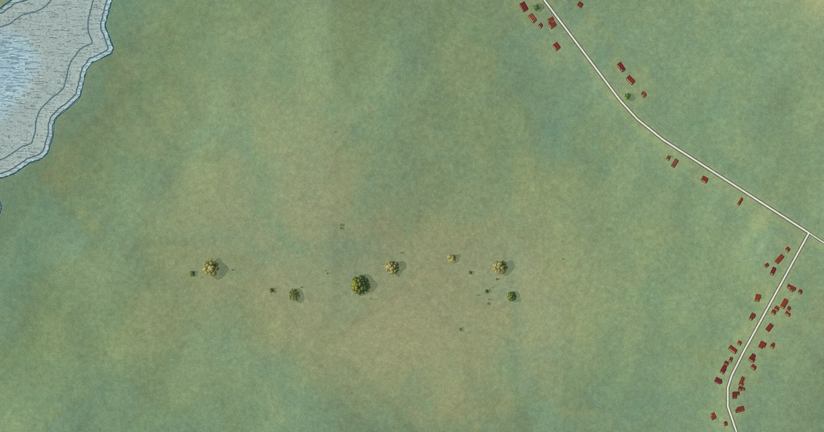
A detailed map of Bartletts Harbour, Newfoundland and Labrador, showing every building in its true location, the roads by name, and shaded topographical relief.
Read More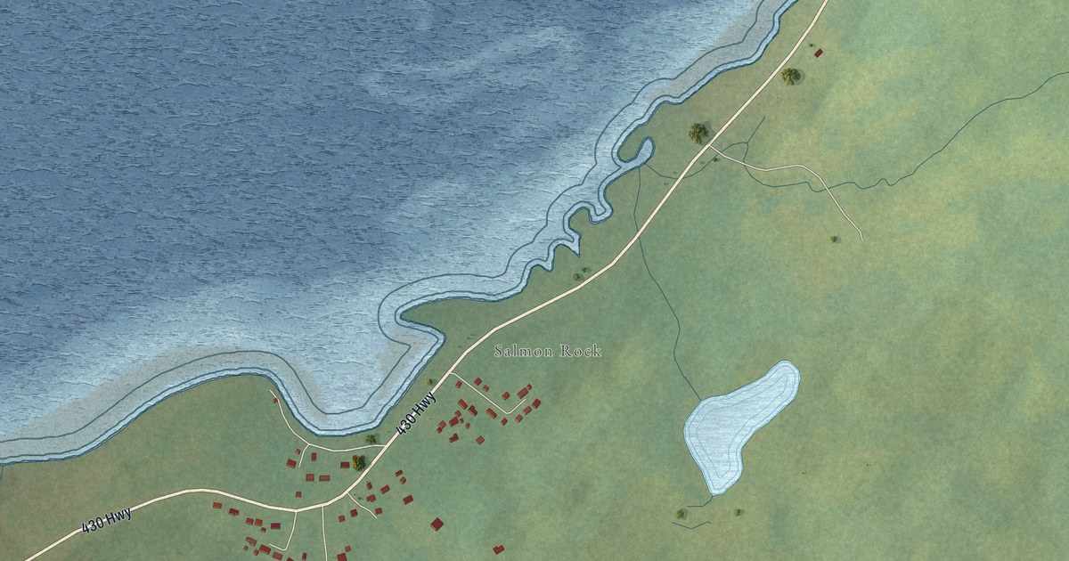
A detailed map of Bear Cove, Newfoundland and Labrador, showing every building in its true location, the roads by name, and shaded topographical relief.
Read More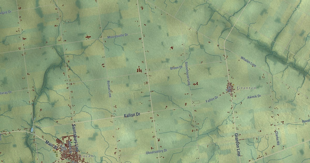
A detailed map of Lucan Biddulph, Ontario, showing every building in its true location, the roads by name, and shaded topographical relief.
Read More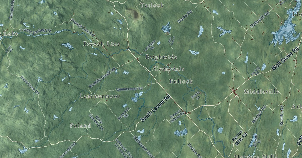
A detailed map of Lanark Highlands, Ontario, showing every building in its true location, the roads by name, and shaded topographical relief.
Read More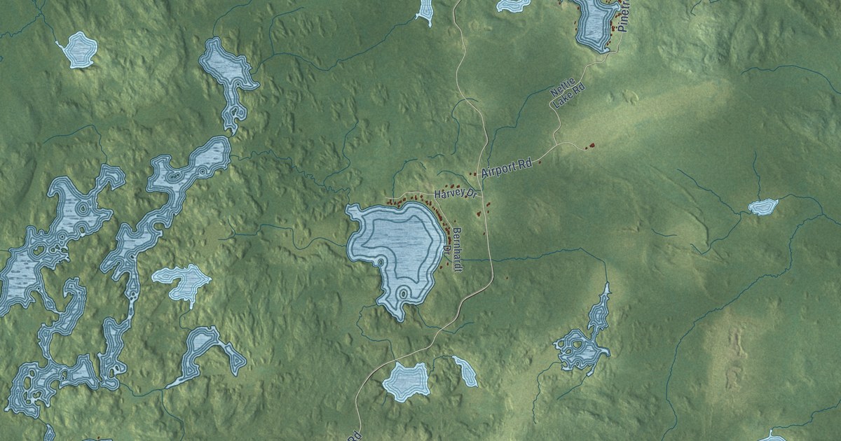
A detailed map of Kirkland Lake, Ontario, showing every building in its true location, the roads by name, and shaded topographical relief.
Read More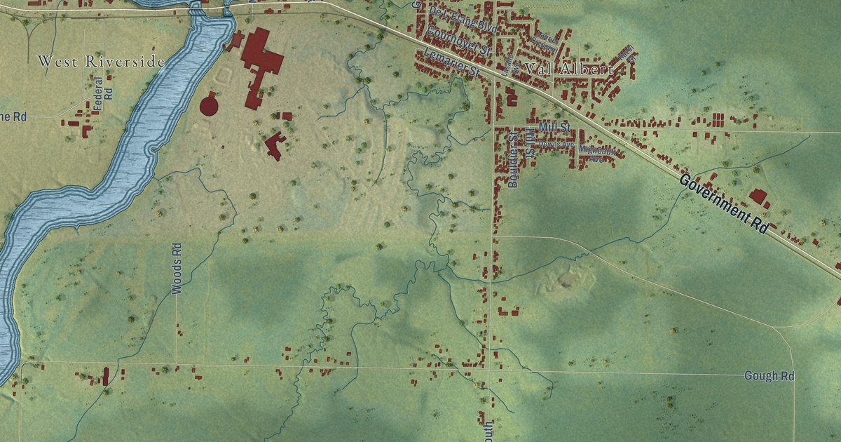
A detailed map of Kapuskasing, Ontario, showing every building in its true location, the roads by name, and shaded topographical relief.
Read More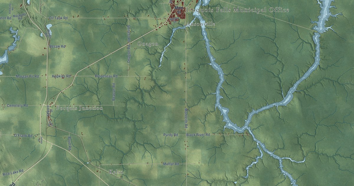
A detailed map of Iroquois Falls, Ontario, showing every building in its true location, the roads by name, and shaded topographical relief.
Read More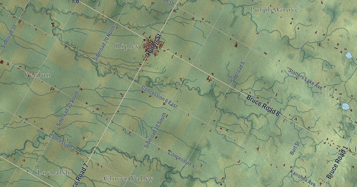
A detailed map of Huron-Kinloss, Ontario, showing every building in its true location, the roads by name, and shaded topographical relief.
Read More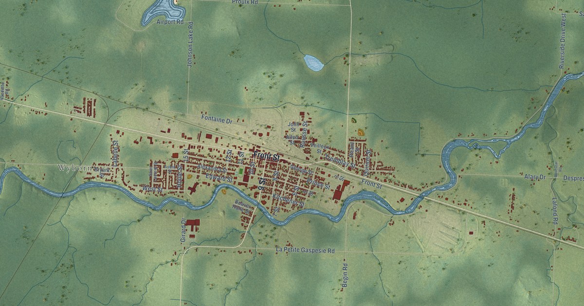
A detailed map of Hearst, Ontario, showing every building in its true location, the roads by name, and shaded topographical relief.
Read More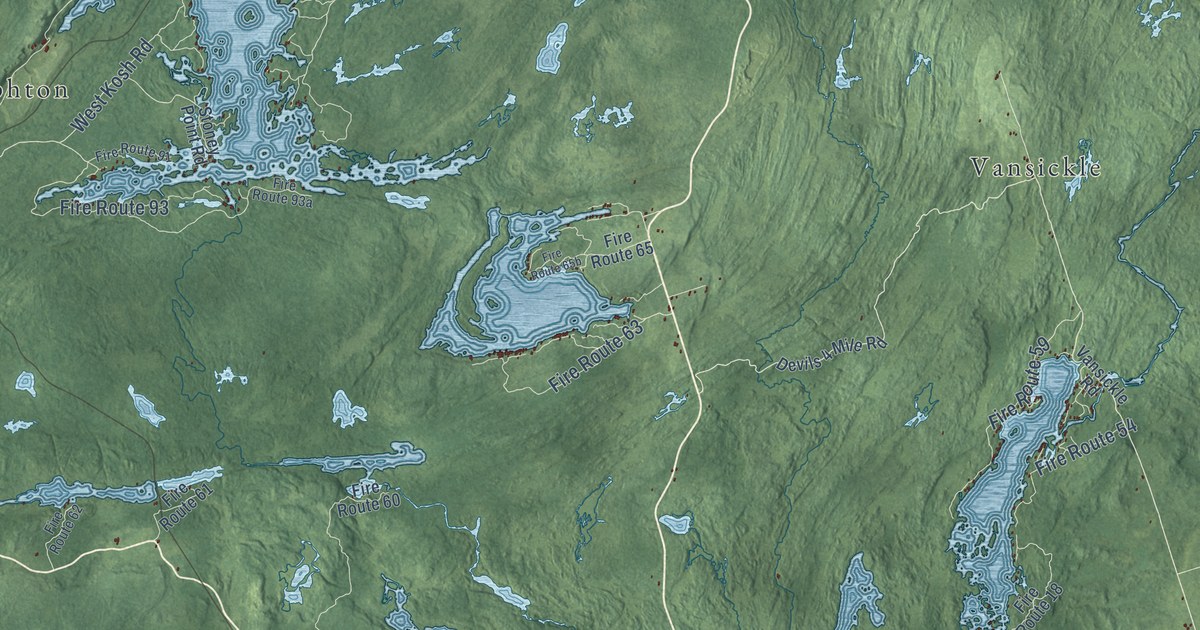
A detailed map of Havelock-Belmont-Methuen, Ontario, showing every building in its true location, the roads by name, and shaded topographical relief.
Read More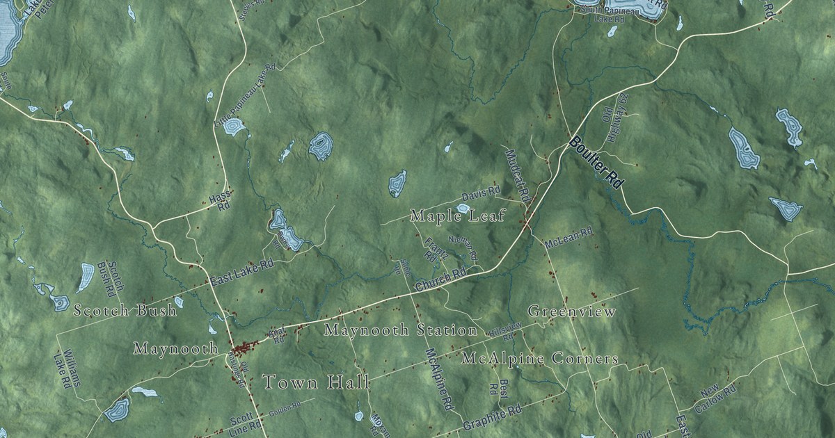
A detailed map of Hastings Highlands, Ontario, showing every building in its true location, the roads by name, and shaded topographical relief.
Read More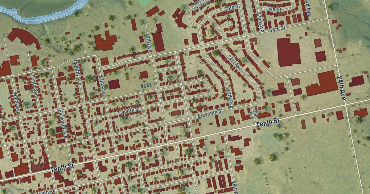
A detailed map of Hanover, Ontario, showing every building in its true location, the roads by name, and shaded topographical relief.
Read More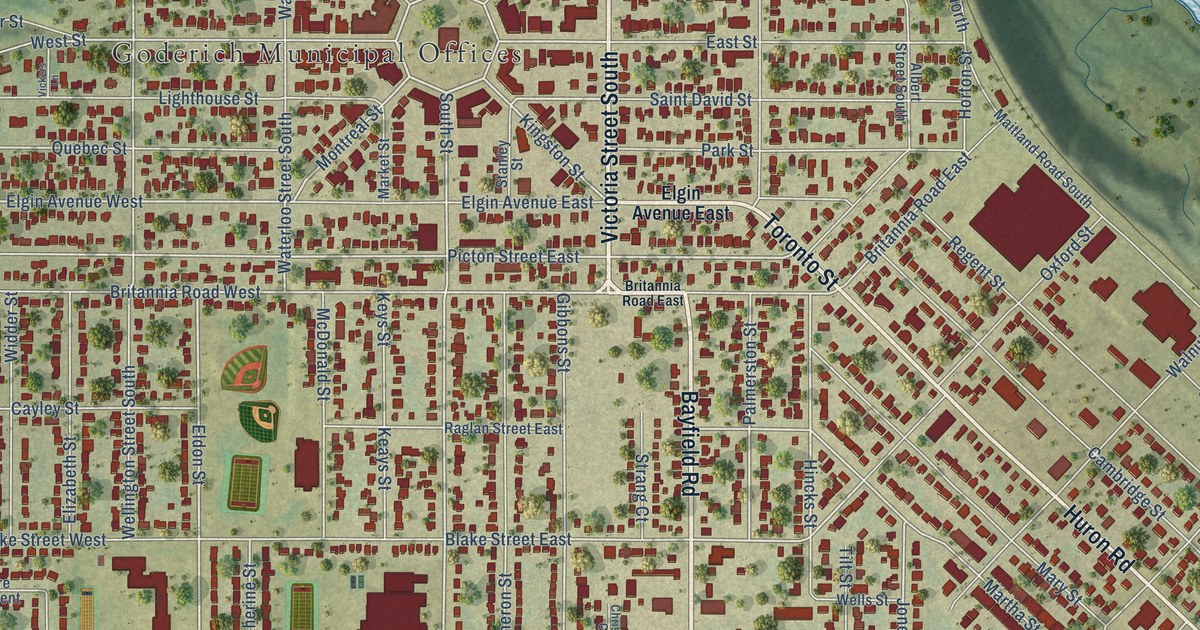
A detailed map of Goderich, Ontario, showing every building in its true location, the roads by name, and shaded topographical relief.
Read More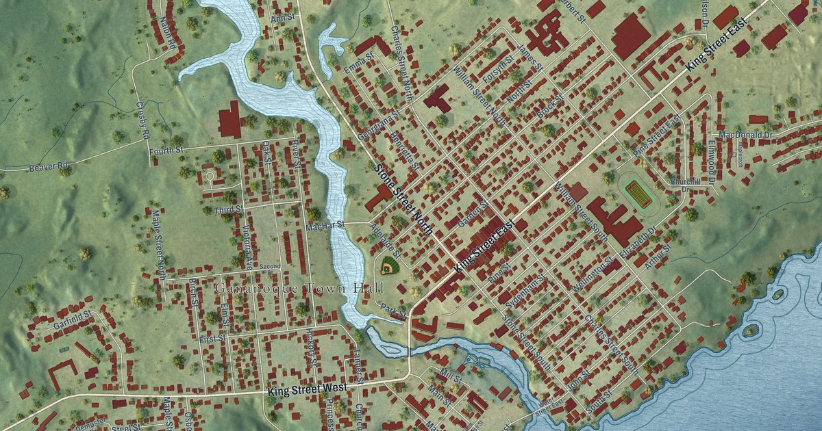
A detailed map of Gananoque, Ontario, showing every building in its true location, the roads by name, and shaded topographical relief.
Read More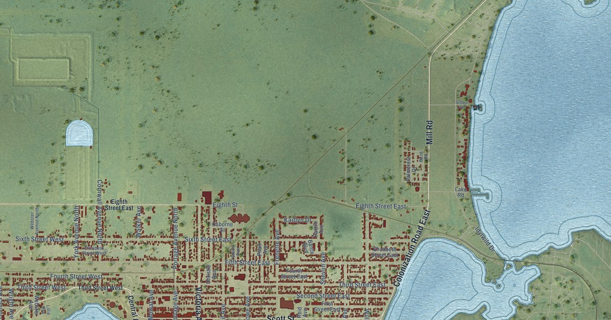
A detailed map of Fort Frances, Ontario, showing every building in its true location, the roads by name, and shaded topographical relief.
Read More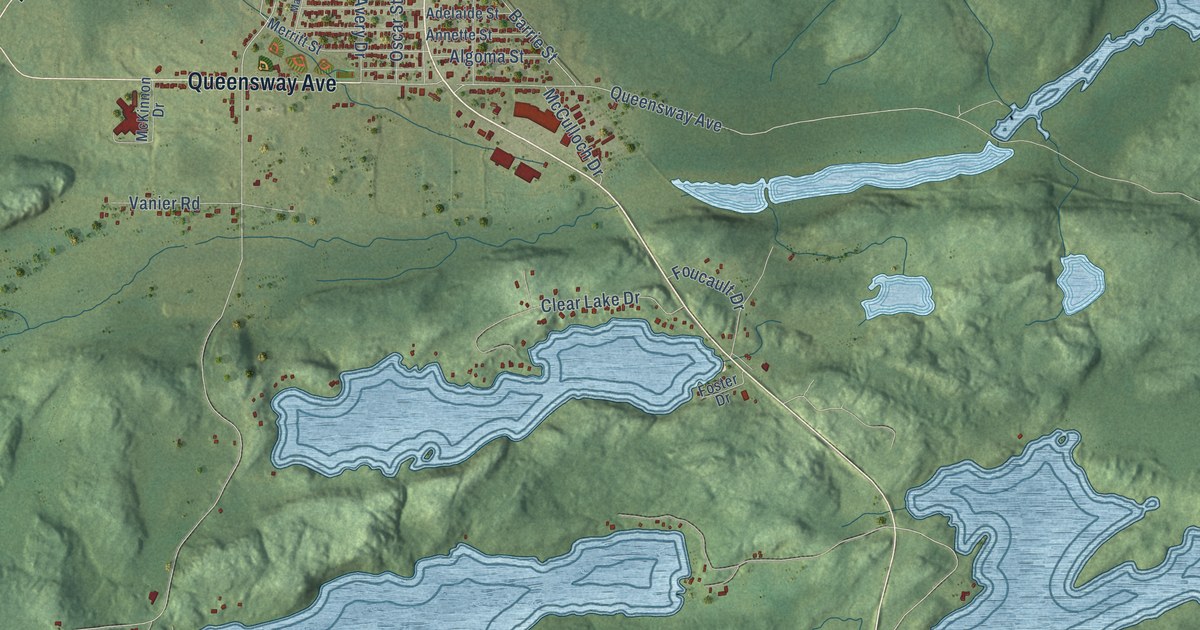
A detailed map of Espanola, Ontario, showing every building in its true location, the roads by name, and shaded topographical relief.
Read More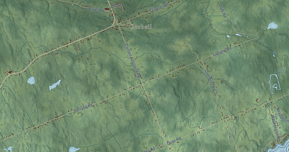
A detailed map of East Ferris, Ontario, showing every building in its true location, the roads by name, and shaded topographical relief.
Read More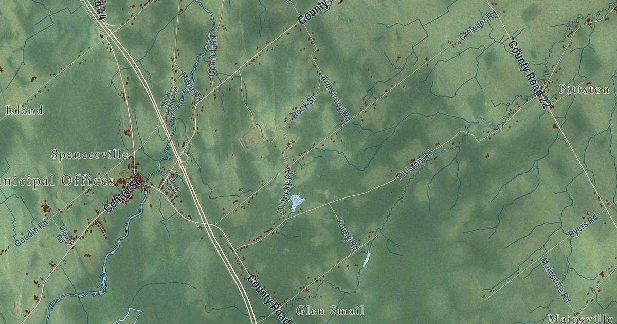
A detailed map of Edwardsburgh-Cardinal, Ontario, showing every building in its true location, the roads by name, and shaded topographical relief.
Read More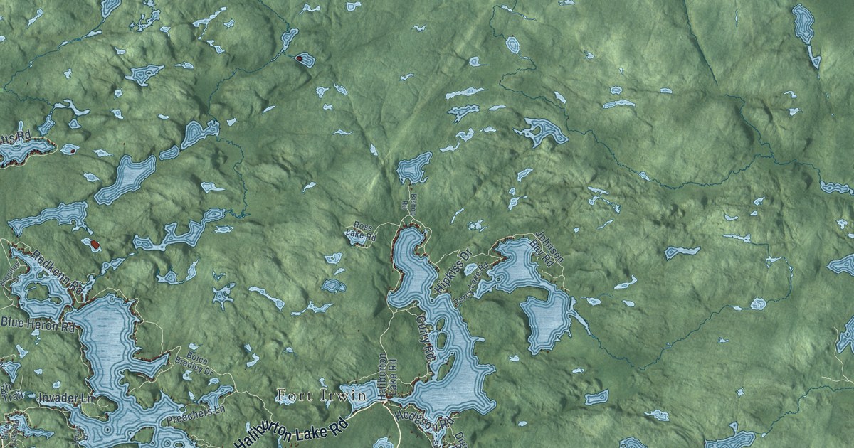
A detailed map of Dysart et al, Ontario, showing every building in its true location, the roads by name, and shaded topographical relief.
Read More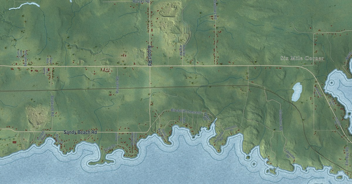
A detailed map of Dryden, Ontario, showing every building in its true location, the roads by name, and shaded topographical relief.
Read More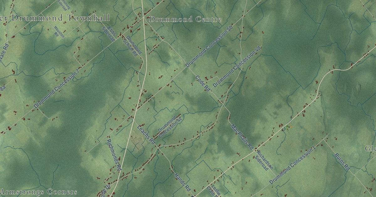
A detailed map of Drummond-North Elmsley, Ontario, showing every building in its true location, the roads by name, and shaded topographical relief.
Read More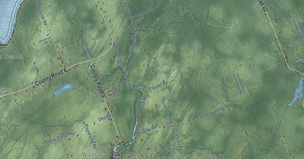
A detailed map of Douro-Dummer, Ontario, showing every building in its true location, the roads by name, and shaded topographical relief.
Read More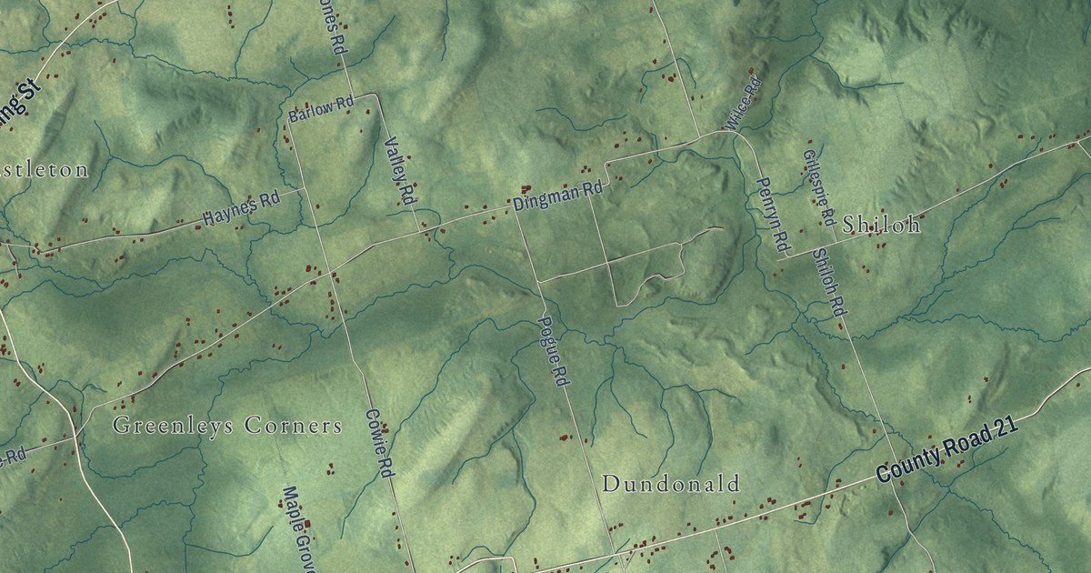
A detailed map of Cramahe, Ontario, showing every building in its true location, the roads by name, and shaded topographical relief.
Read More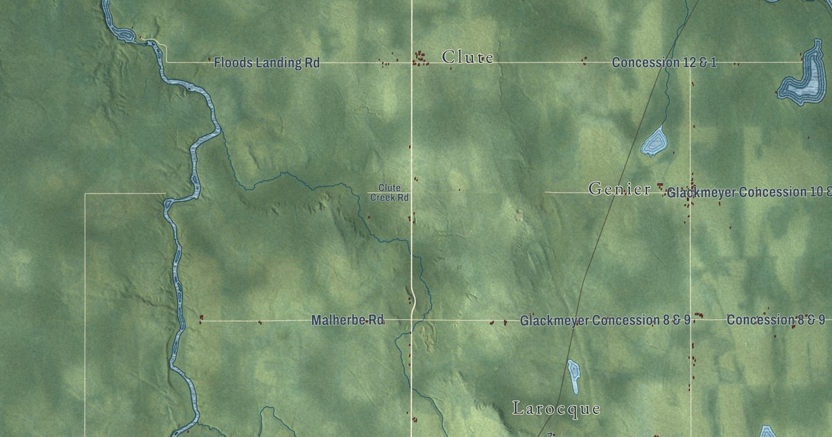
A detailed map of Cochrane, Ontario, showing every building in its true location, the roads by name, and shaded topographical relief.
Read More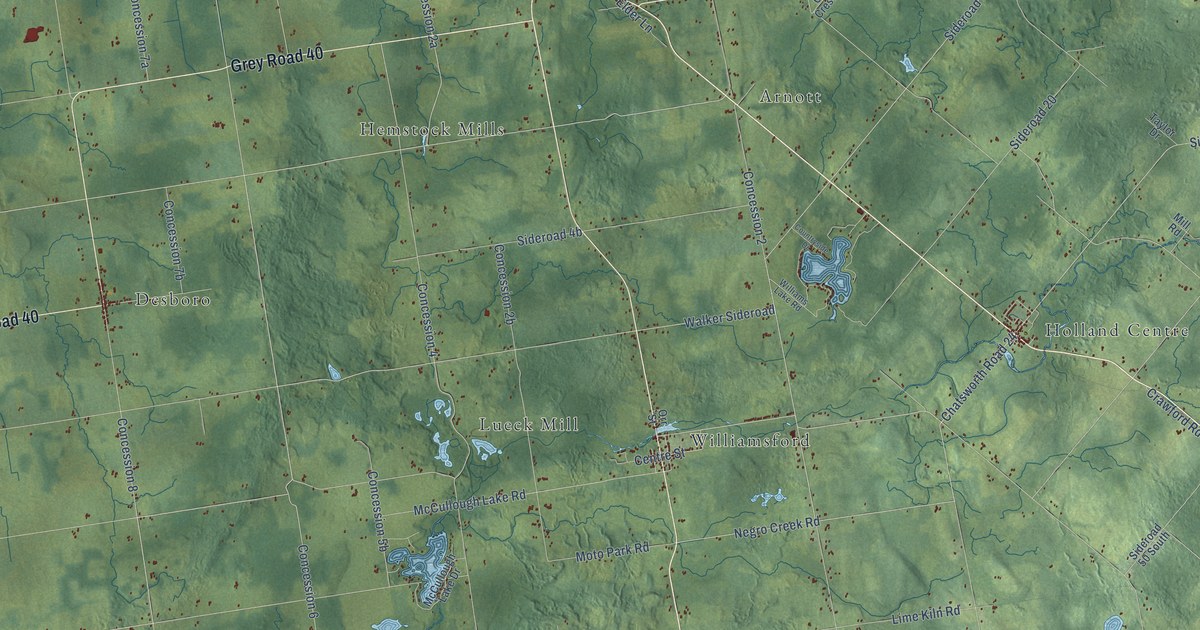
A detailed map of Chatsworth Township, Ontario, showing every building in its true location, the roads by name, and shaded topographical relief.
Read More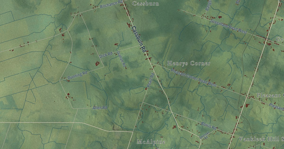
A detailed map of Champlain, Ontario, showing every building in its true location, the roads by name, and shaded topographical relief.
Read More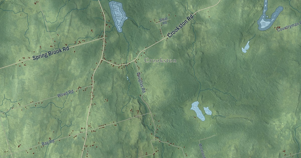
A detailed map of Centre Hastings, Ontario, showing every building in its true location, the roads by name, and shaded topographical relief.
Read More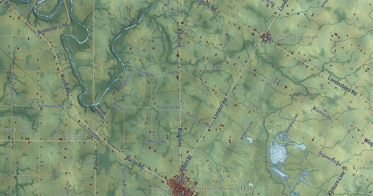
A detailed map of Central Huron, Ontario, showing every building in its true location, the roads by name, and shaded topographical relief.
Read More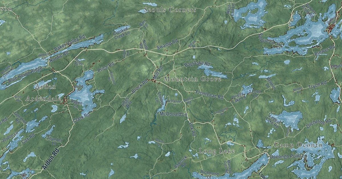
A detailed map of Central Frontenac, Ontario, showing every building in its true location, the roads by name, and shaded topographical relief.
Read More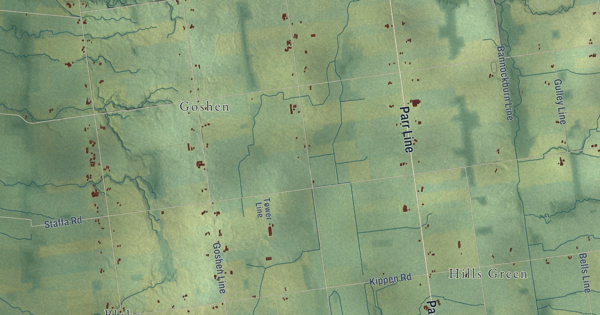
A detailed map of Bluewater, Ontario, showing every building in its true location, the roads by name, and shaded topographical relief.
Read More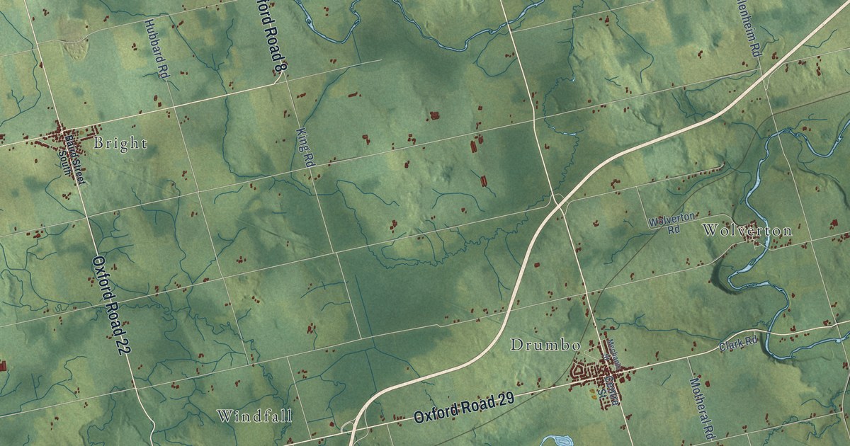
A detailed map of Blandford-Blenheim, Ontario, showing every building in its true location, the roads by name, and shaded topographical relief.
Read More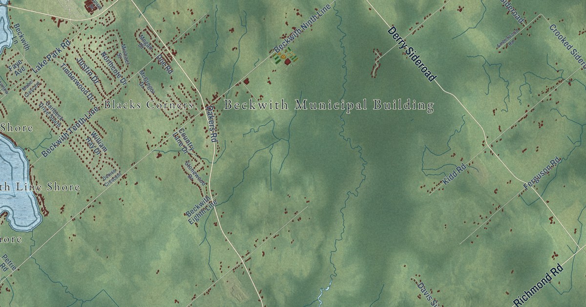
A detailed map of Beckwith, Ontario, showing every building in its true location, the roads by name, and shaded topographical relief.
Read More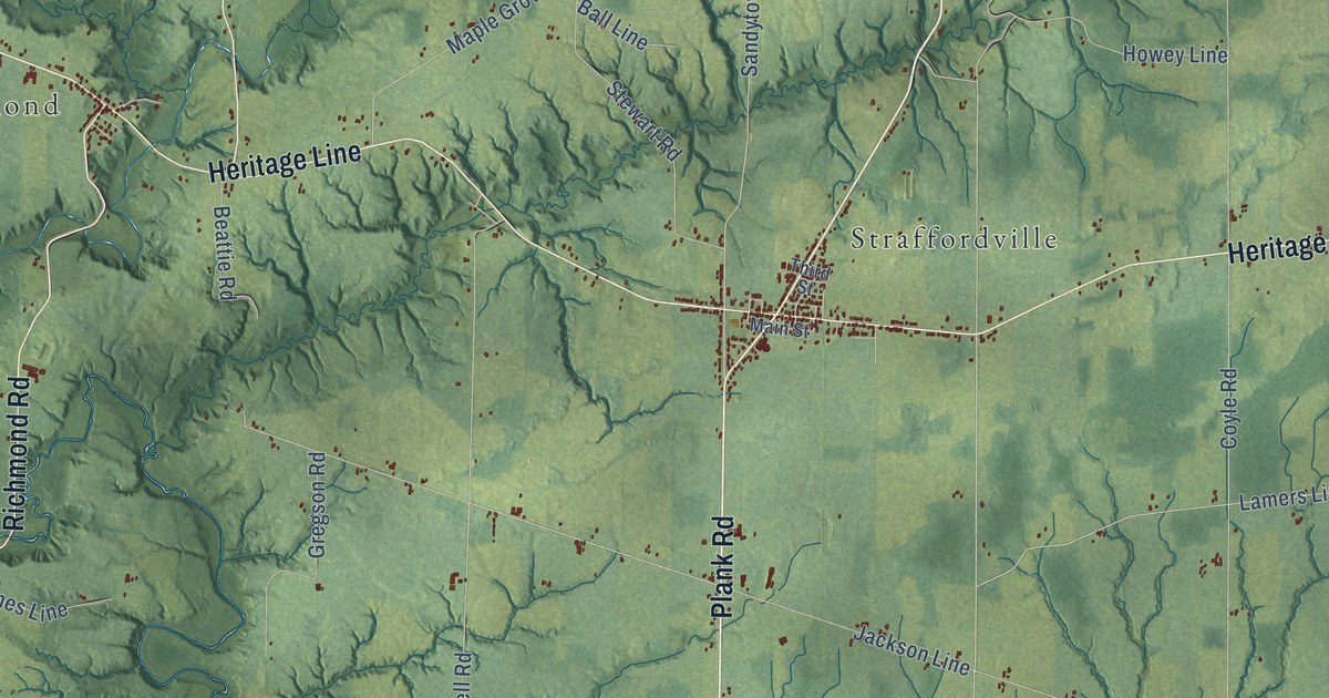
A detailed map of Bayham, Ontario, showing every building in its true location, the roads by name, and shaded topographical relief.
Read More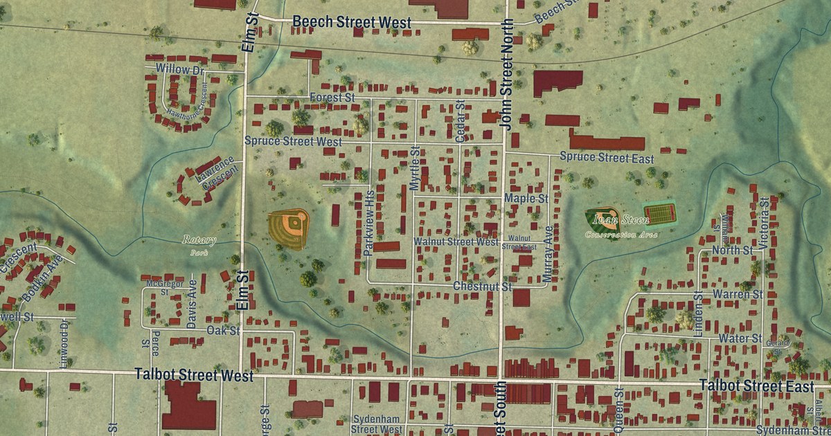
A detailed map of Aylmer, Ontario, showing every building in its true location, the roads by name, and shaded topographical relief.
Read More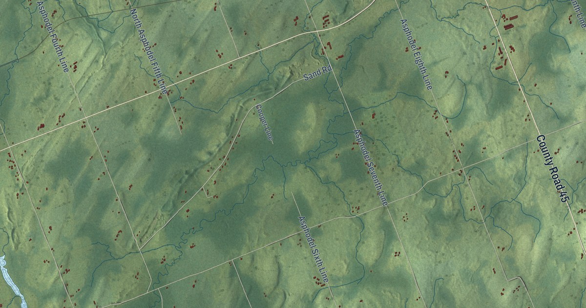
A detailed map of Asphodel-Norwood, Ontario, showing every building in its true location, the roads by name, and shaded topographical relief.
Read More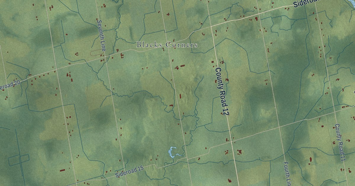
A detailed map of Amaranth, Ontario, showing every building in its true location, the roads by name, and shaded topographical relief.
Read More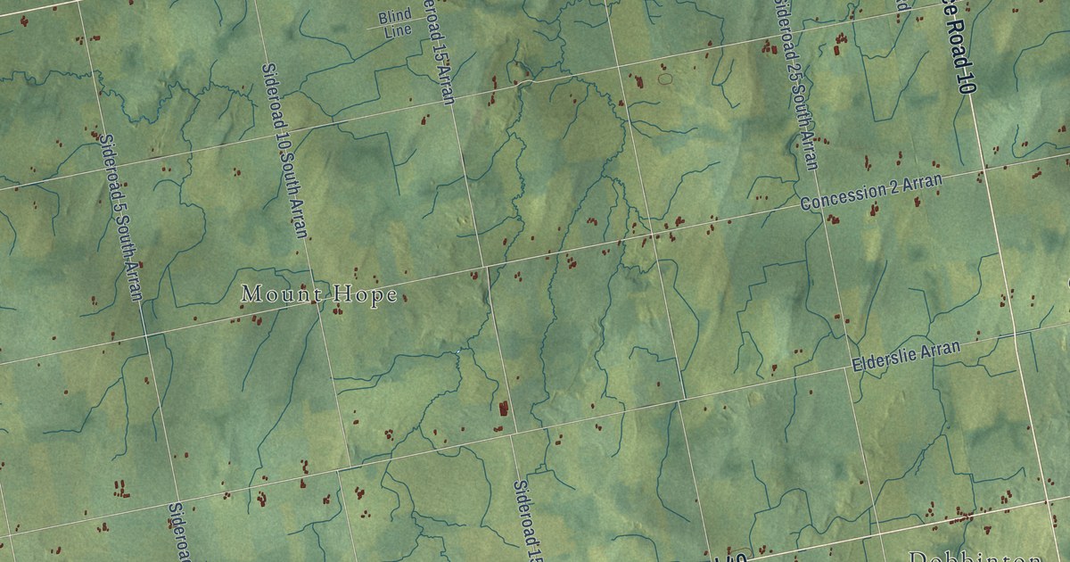
A detailed map of Arran-Elderslie, Ontario, showing every building in its true location, the roads by name, and shaded topographical relief.
Read More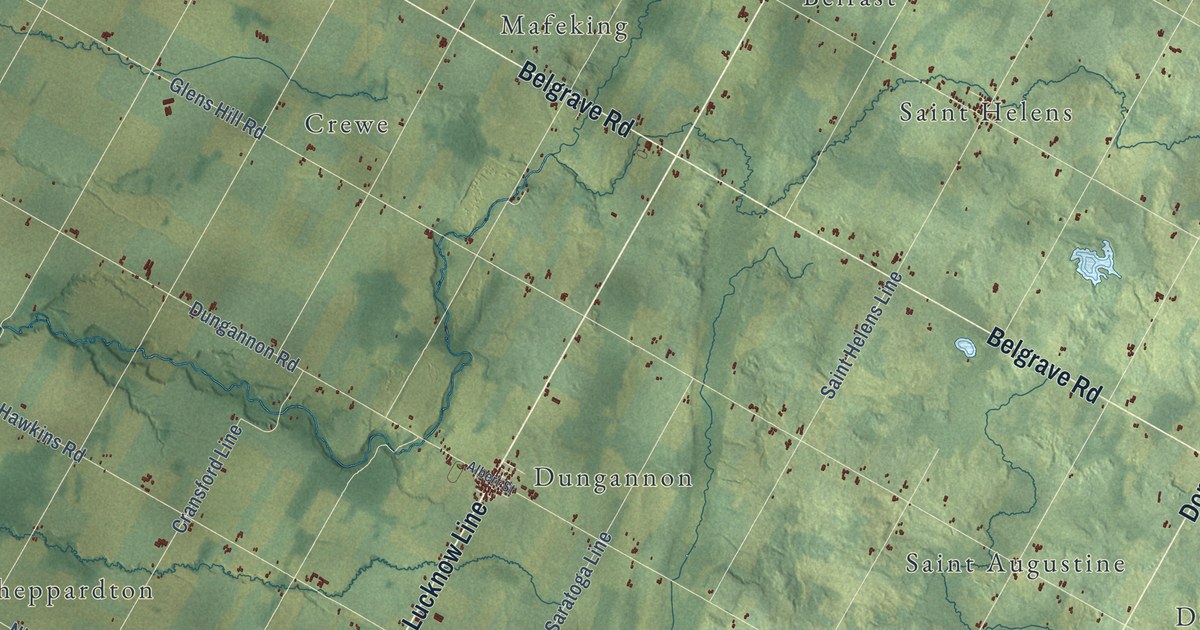
A detailed map of Ashfield-Colborne-Wawanosh, Ontario, showing every building in its true location, the roads by name, and shaded topographical relief.
Read More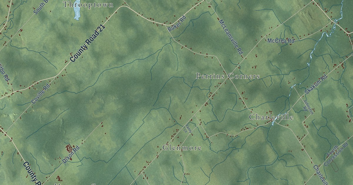
A detailed map of Augusta, Ontario, showing every building in its true location, the roads by name, and shaded topographical relief.
Read More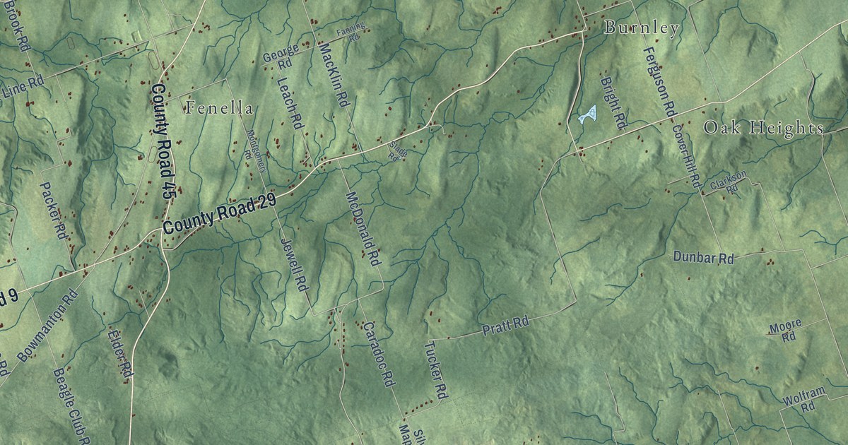
A detailed map of Alnwick-Haldimand, Ontario, showing every building in its true location, the roads by name, and shaded topographical relief.
Read More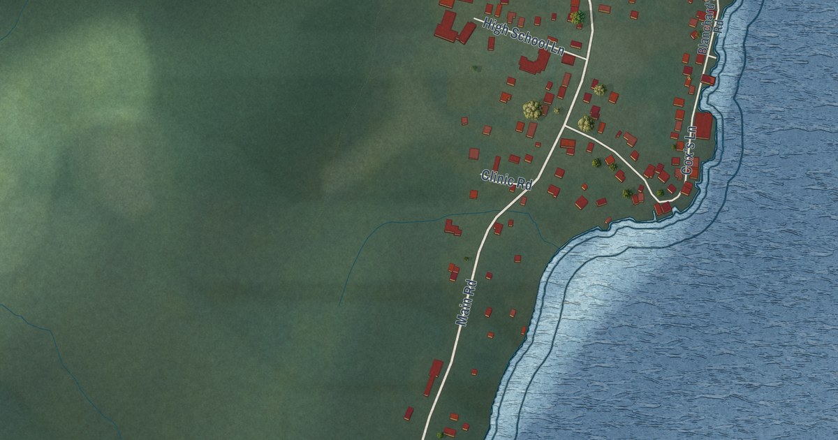
A detailed map of Woody Point, Newfoundland and Labrador, showing every building in its true location, the roads by name, and shaded topographical relief.
Read More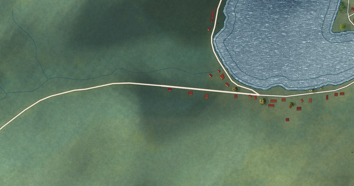
A detailed map of Woodstock, Newfoundland and Labrador, showing every building in its true location, the roads by name, and shaded topographical relief.
Read More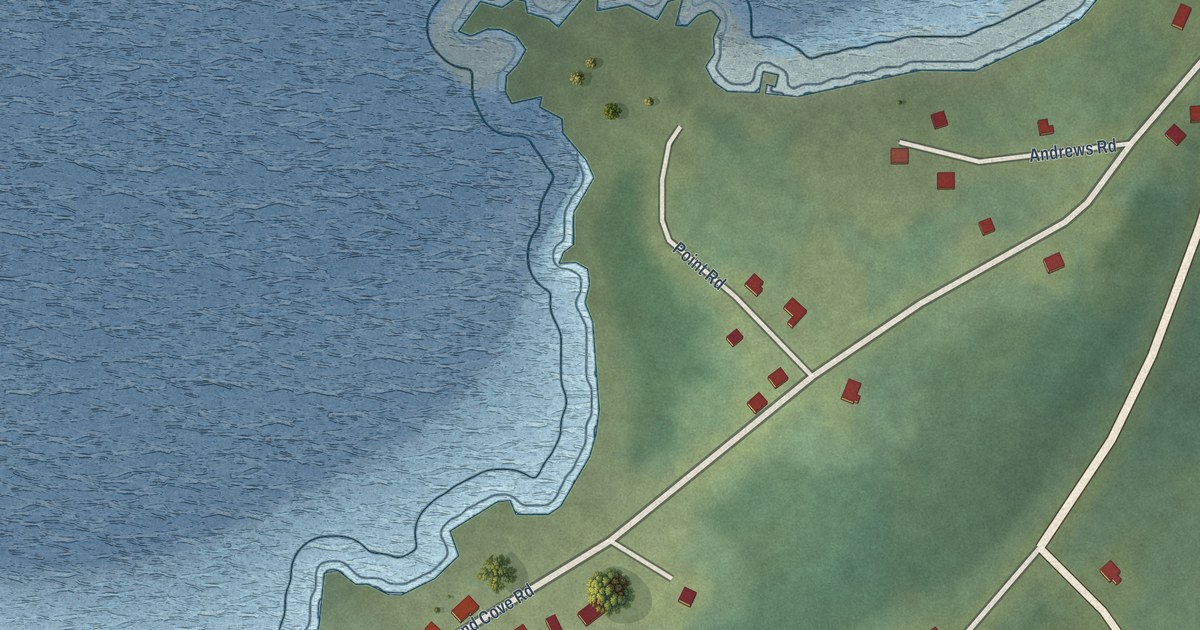
A detailed map of Westport, Newfoundland and Labrador, showing every building in its true location, the roads by name, and shaded topographical relief.
Read More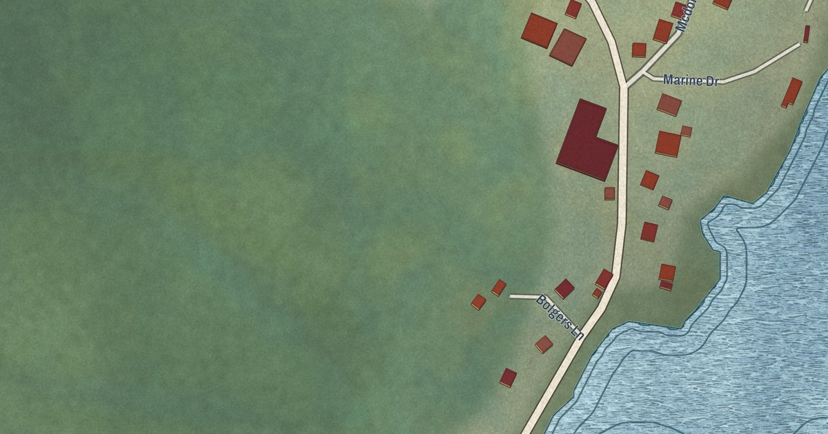
A detailed map of West St. Modeste, Newfoundland and Labrador, showing every building in its true location, the roads by name, and shaded topographical relief.
Read More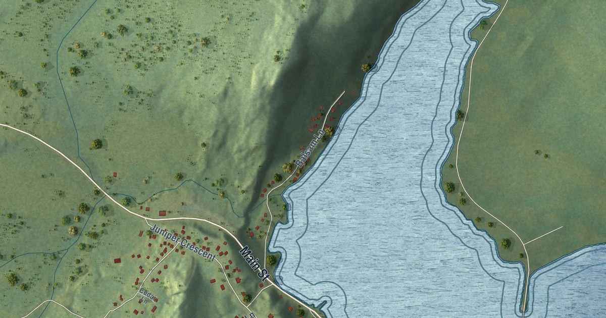
A detailed map of Traytown, Newfoundland and Labrador, showing every building in its true location, the roads by name, and shaded topographical relief.
Read More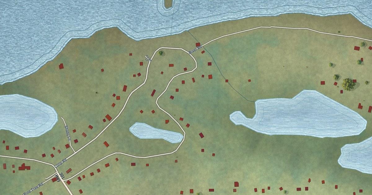
A detailed map of Terra Nova, Newfoundland and Labrador, showing every building in its true location, the roads by name, and shaded topographical relief.
Read More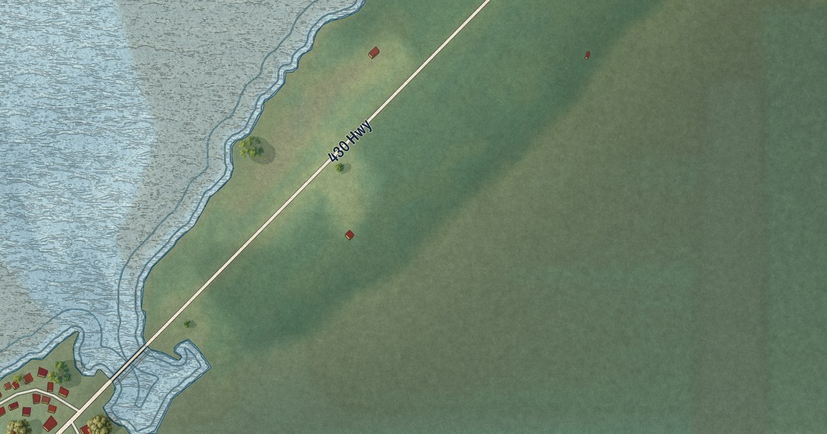
A detailed map of St. Pauls, Newfoundland and Labrador, showing every building in its true location, the roads by name, and shaded topographical relief.
Read More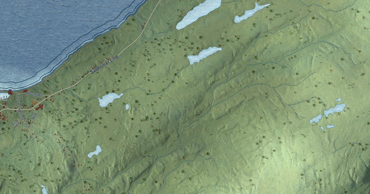
A detailed map of St. Mary’s, Newfoundland and Labrador, showing every building in its true location, the roads by name, and shaded topographical relief.
Read More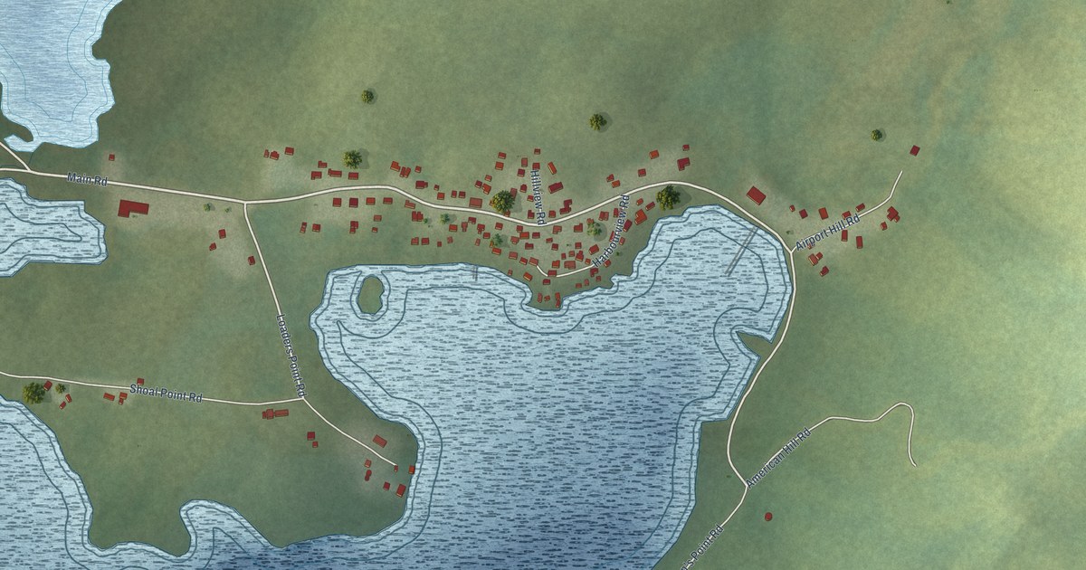
A detailed map of St. Lewis, Newfoundland and Labrador, showing every building in its true location, the roads by name, and shaded topographical relief.
Read More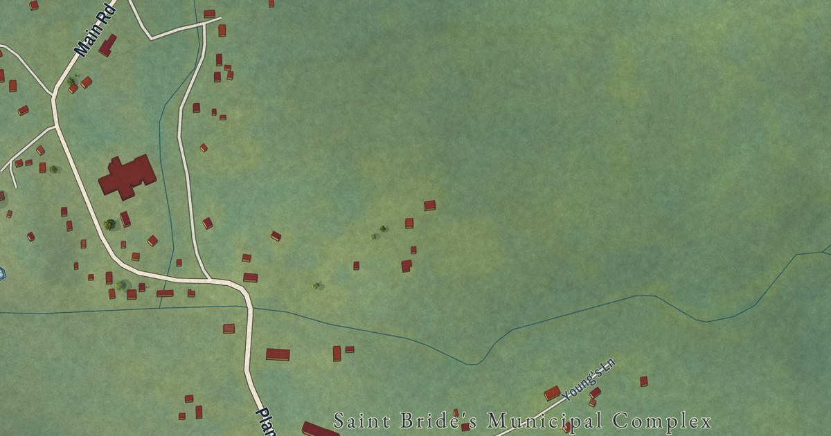
A detailed map of St. Bride’s, Newfoundland and Labrador, showing every building in its true location, the roads by name, and shaded topographical relief.
Read More
A detailed map of St. Brendan’s, Newfoundland and Labrador, showing every building in its true location, the roads by name, and shaded topographical relief.
Read More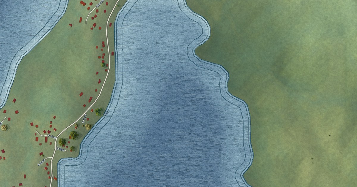
A detailed map of Southern Harbour, Newfoundland and Labrador, showing every building in its true location, the roads by name, and shaded topographical relief.
Read More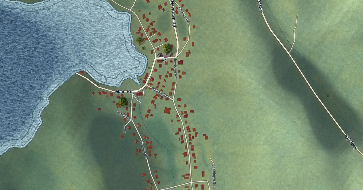
A detailed map of Seal Cove (White Bay), Newfoundland and Labrador, showing every building in its true location, the roads by name, and shaded topographical relief.
Read More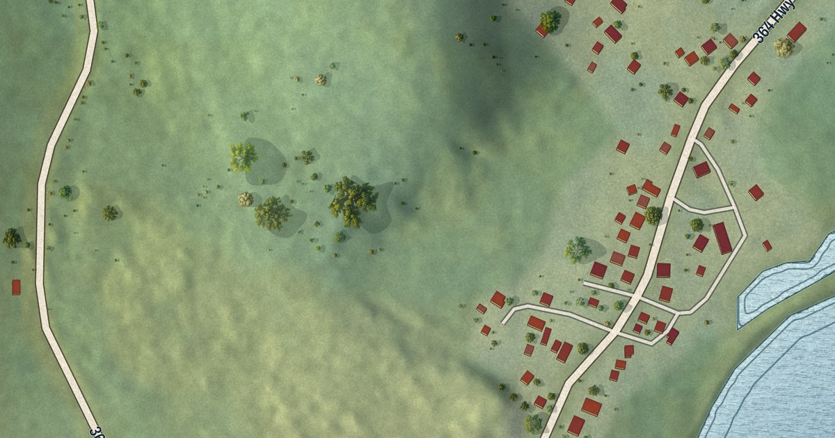
A detailed map of Seal Cove (Fortune Bay), Newfoundland and Labrador, showing every building in its true location, the roads by name, and shaded topographical relief.
Read More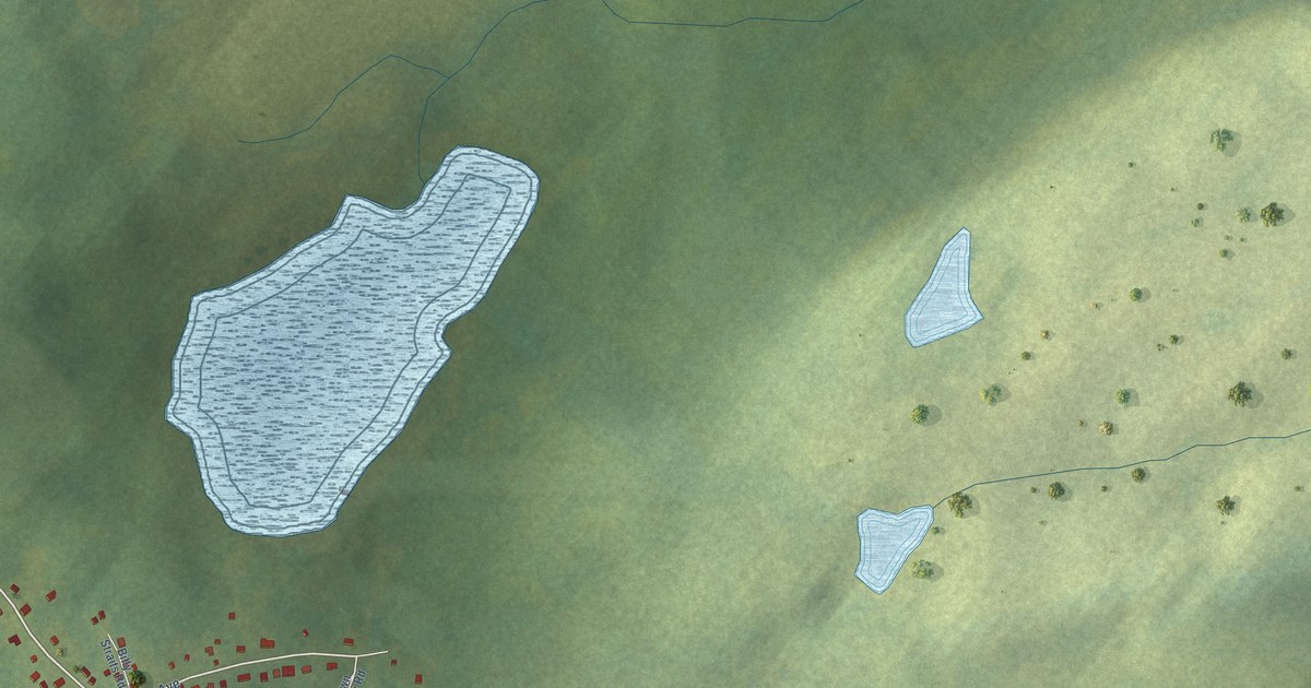
A detailed map of Sandy Cove, Newfoundland and Labrador, showing every building in its true location, the roads by name, and shaded topographical relief.
Read More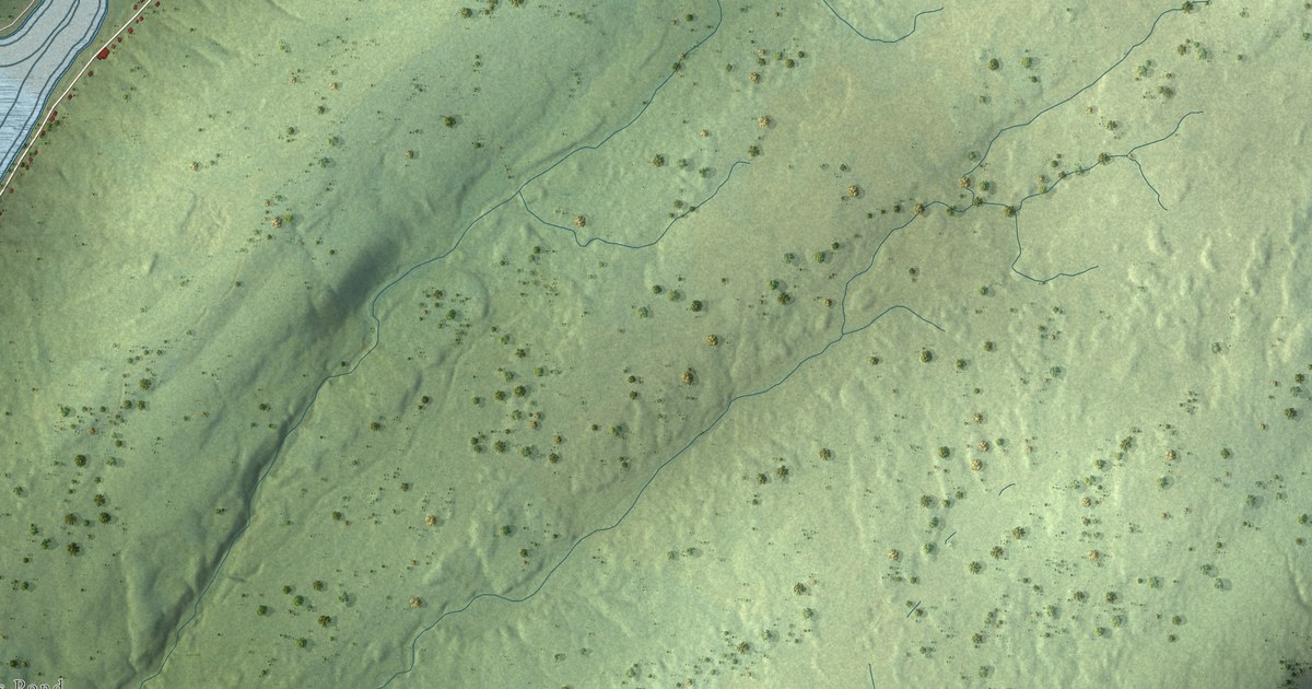
A detailed map of Riverhead, Newfoundland and Labrador, showing every building in its true location, the roads by name, and shaded topographical relief.
Read More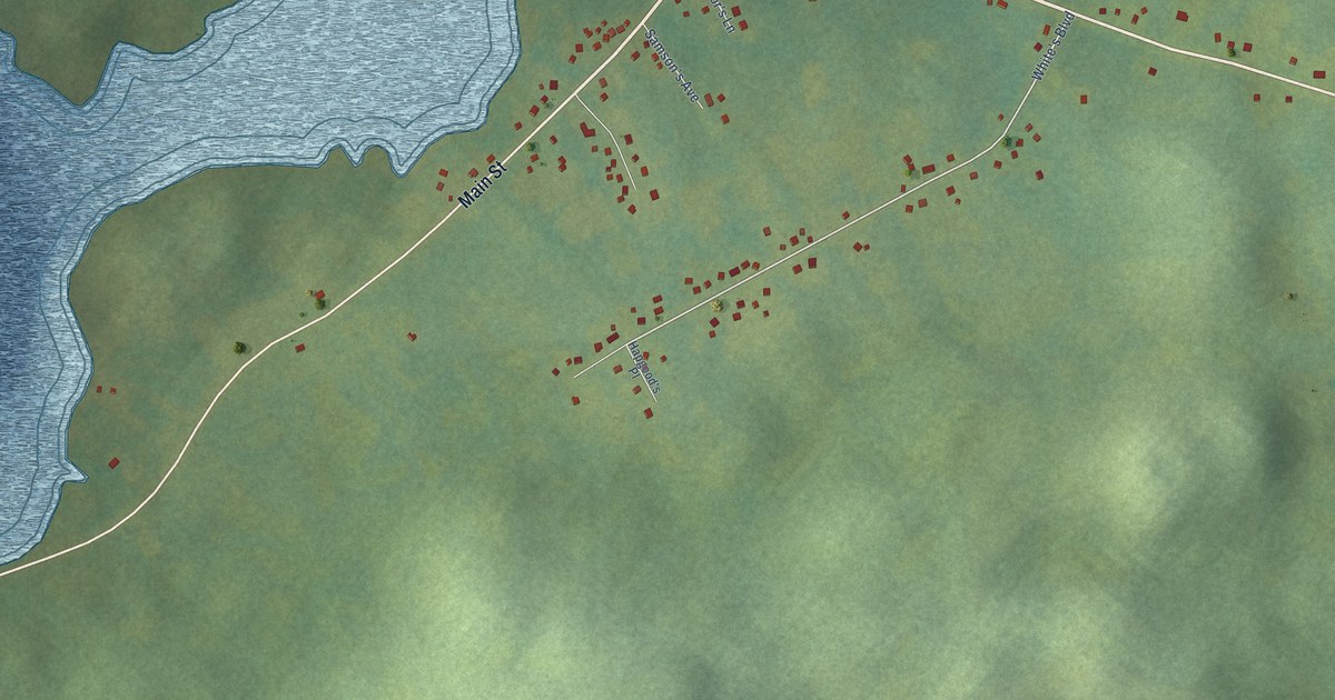
A detailed map of Sandringham, Newfoundland and Labrador, showing every building in its true location, the roads by name, and shaded topographical relief.
Read More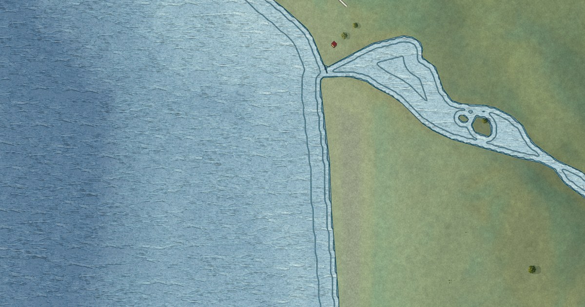
A detailed map of River of Ponds, Newfoundland and Labrador, showing every building in its true location, the roads by name, and shaded topographical relief.
Read More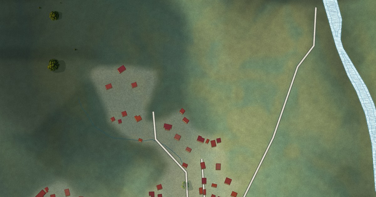
A detailed map of Rencontre East, Newfoundland and Labrador, showing every building in its true location, the roads by name, and shaded topographical relief.
Read More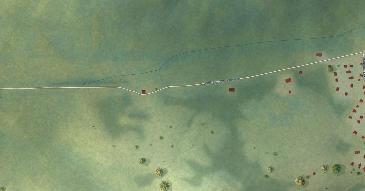
A detailed map of Rigolet, Newfoundland and Labrador, showing every building in its true location, the roads by name, and shaded topographical relief.
Read More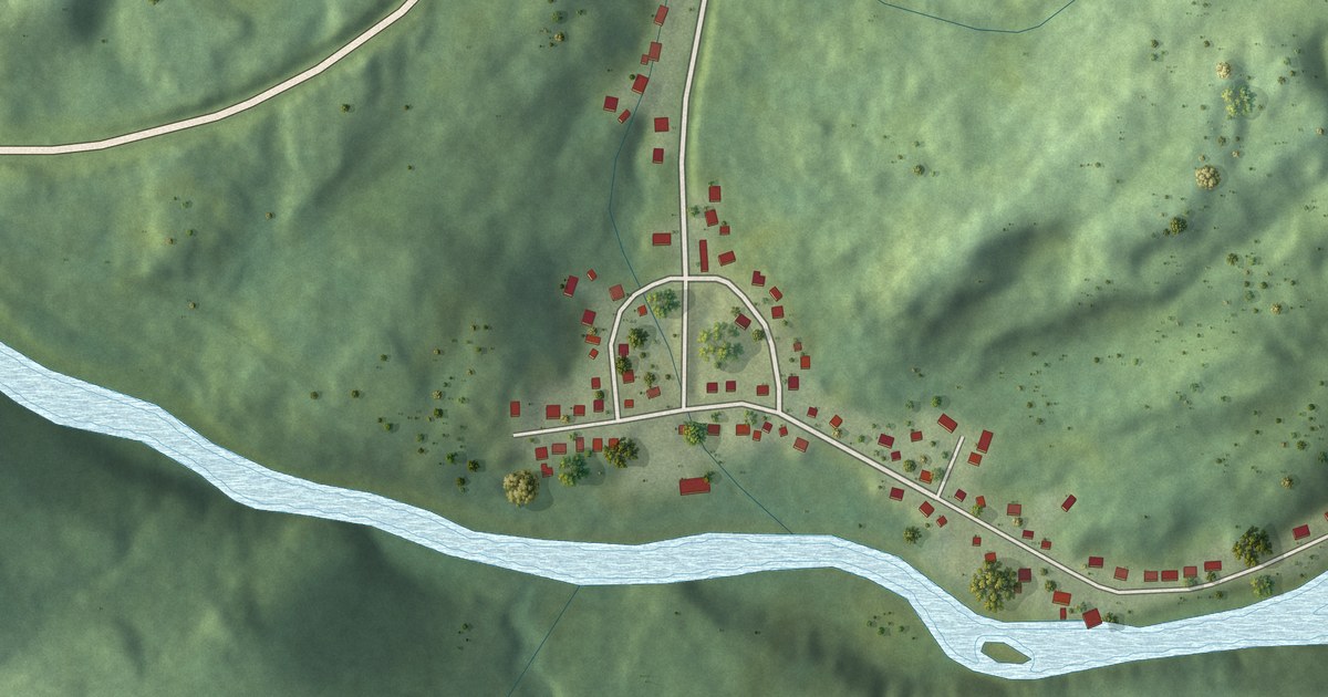
A detailed map of Red Harbour, Newfoundland and Labrador, showing every building in its true location, the roads by name, and shaded topographical relief.
Read More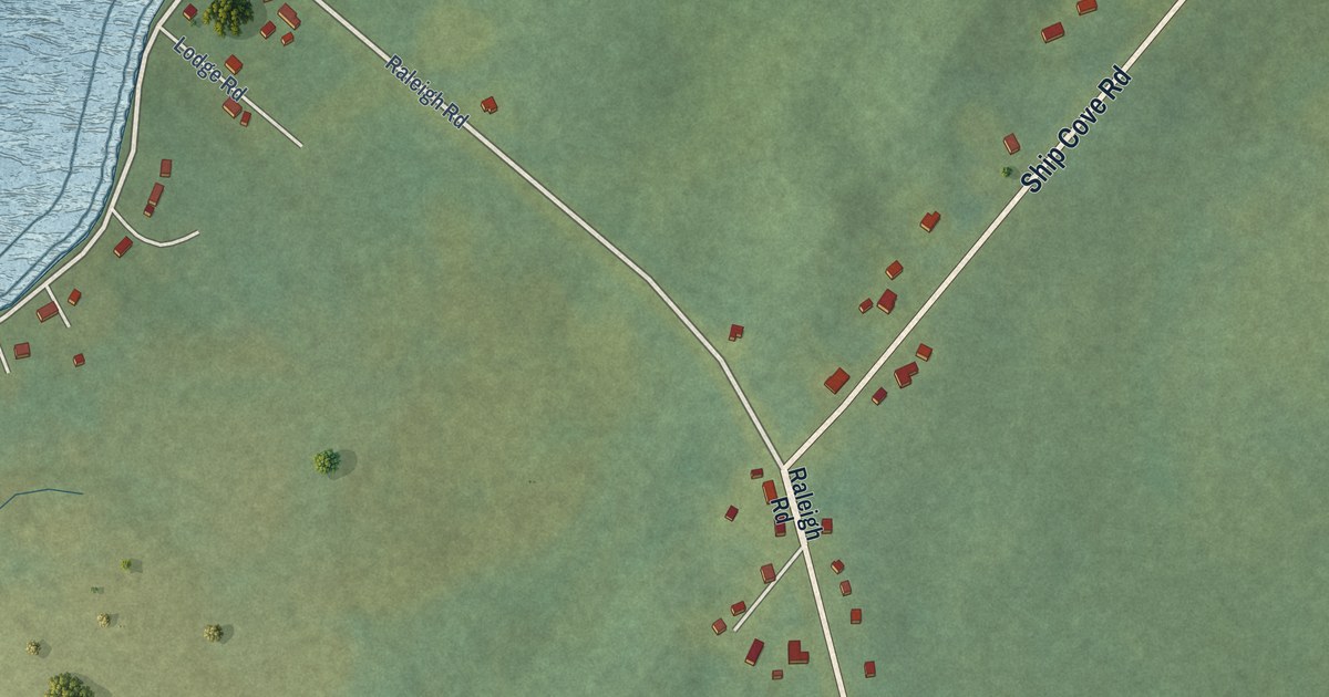
A detailed map of Raleigh, Newfoundland and Labrador, showing every building in its true location, the roads by name, and shaded topographical relief.
Read More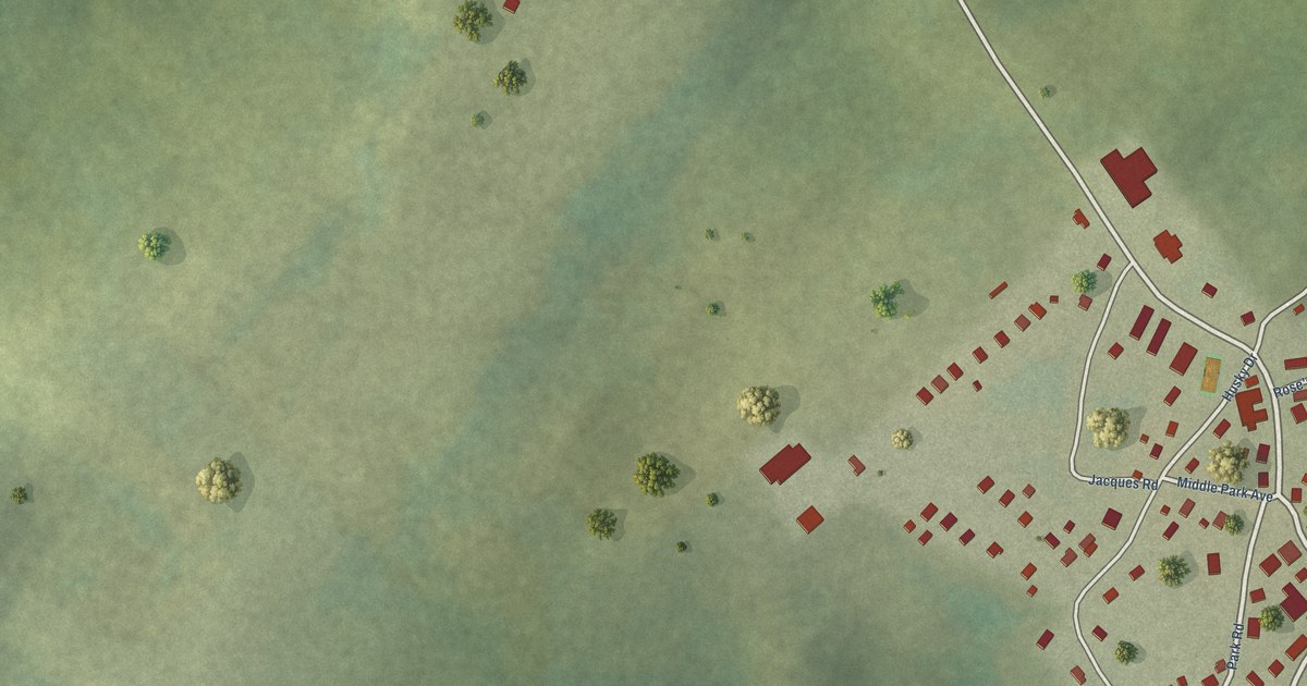
A detailed map of Postville, Newfoundland and Labrador, showing every building in its true location, the roads by name, and shaded topographical relief.
Read More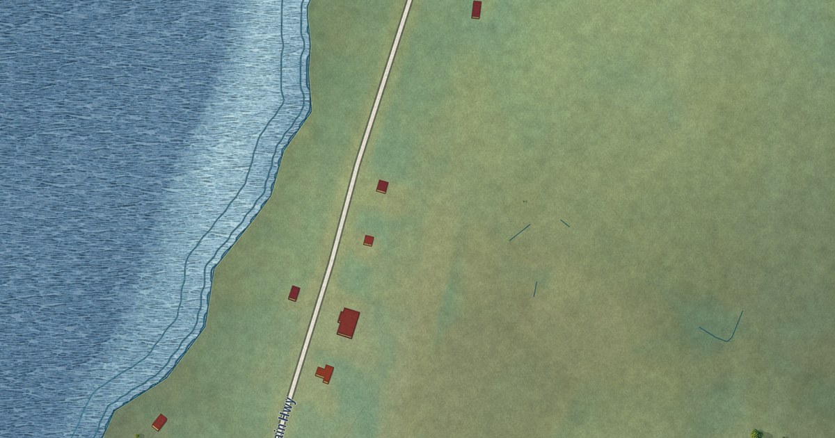
A detailed map of Red Bay, Newfoundland and Labrador, showing every building in its true location, the roads by name, and shaded topographical relief.
Read More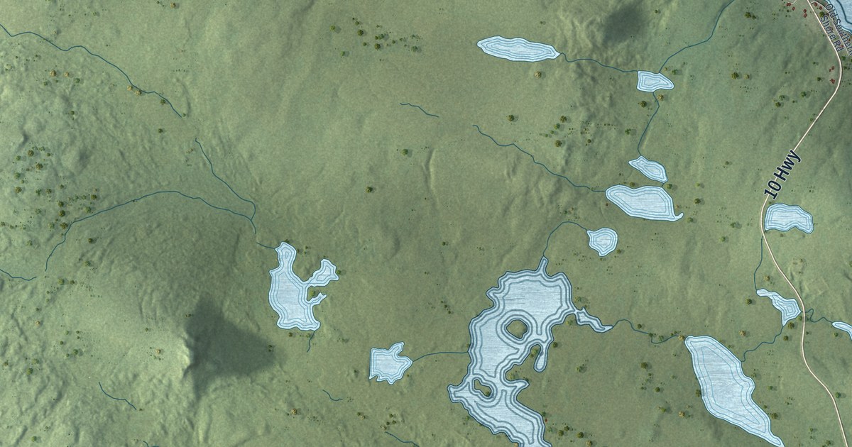
A detailed map of Renews-Cappahayden, Newfoundland and Labrador, showing every building in its true location, the roads by name, and shaded topographical relief.
Read More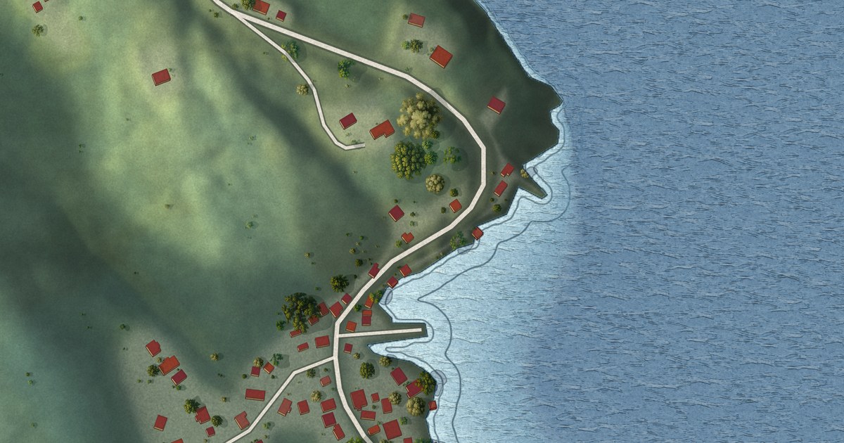
A detailed map of Pool’s Cove, Newfoundland and Labrador, showing every building in its true location, the roads by name, and shaded topographical relief.
Read More
A detailed map of Point of Bay, Newfoundland and Labrador, showing every building in its true location, the roads by name, and shaded topographical relief.
Read More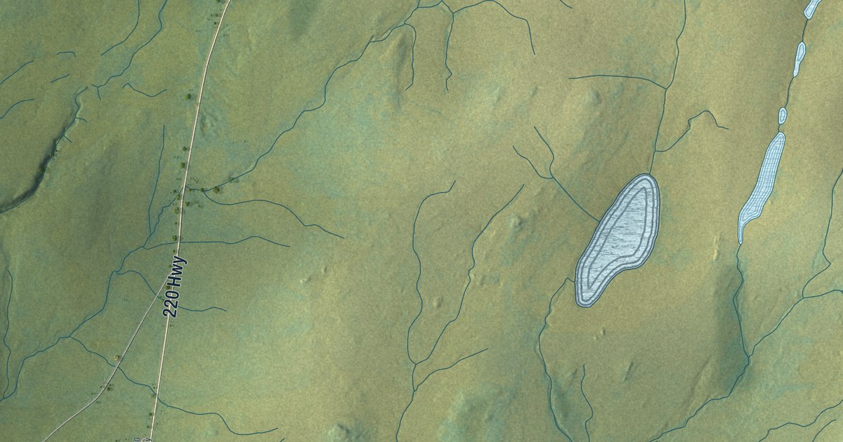
A detailed map of Point May, Newfoundland and Labrador, showing every building in its true location, the roads by name, and shaded topographical relief.
Read More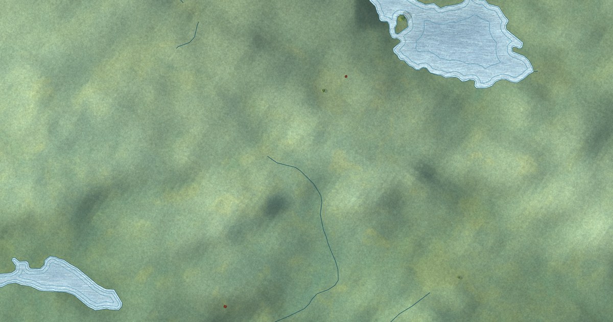
A detailed map of Pilley’s Island, Newfoundland and Labrador, showing every building in its true location, the roads by name, and shaded topographical relief.
Read More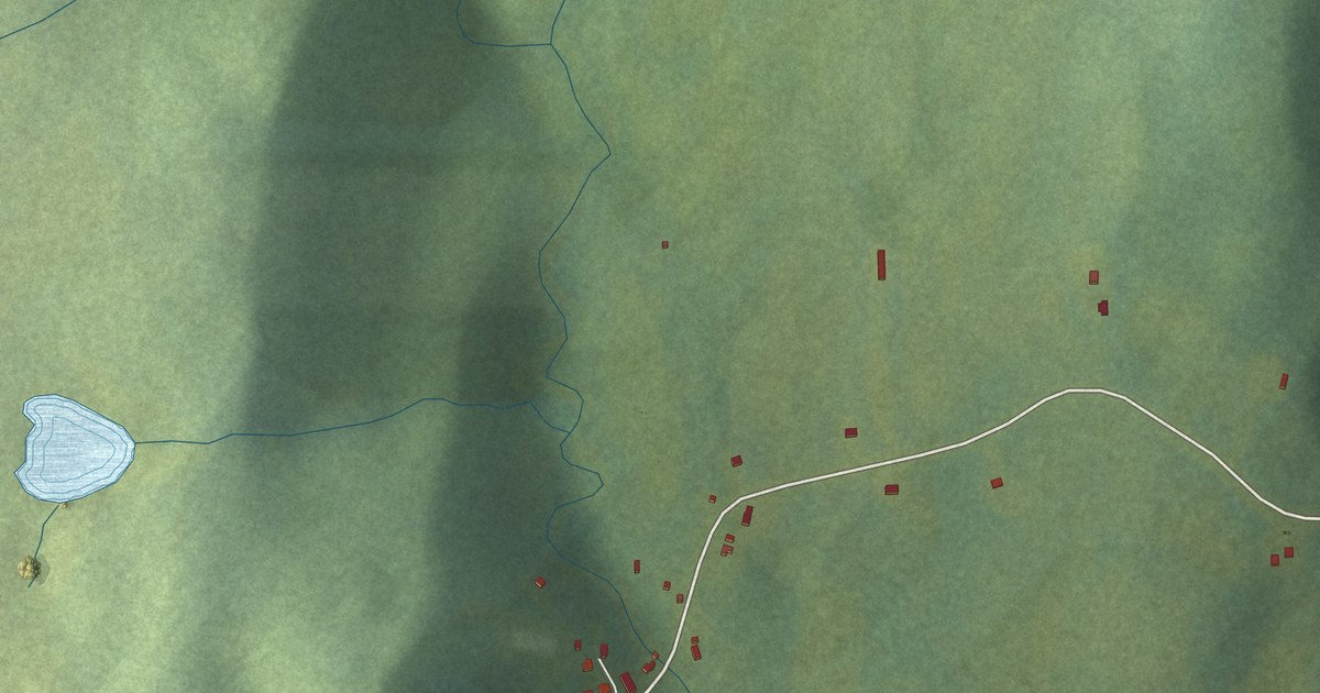
A detailed map of Point Lance, Newfoundland and Labrador, showing every building in its true location, the roads by name, and shaded topographical relief.
Read More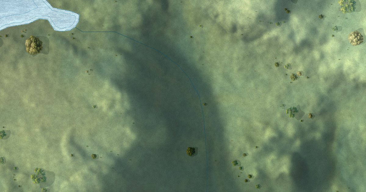
A detailed map of Parkers Cove, Newfoundland and Labrador, showing every building in its true location, the roads by name, and shaded topographical relief.
Read More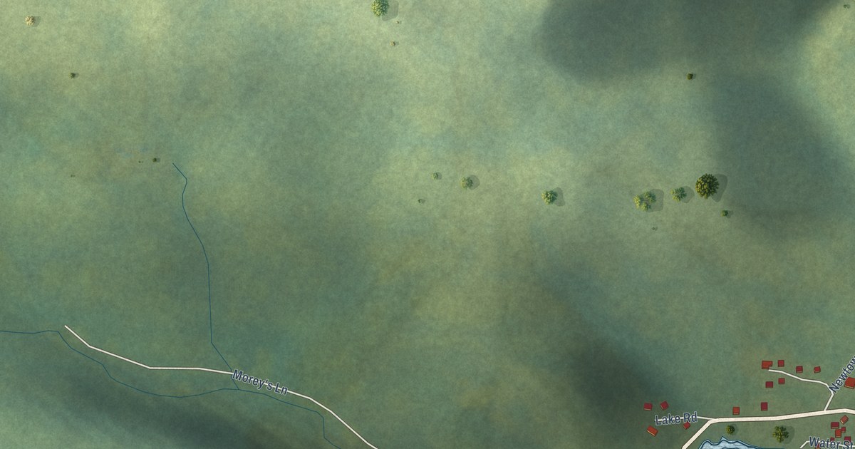
A detailed map of Pacquet, Newfoundland and Labrador, showing every building in its true location, the roads by name, and shaded topographical relief.
Read More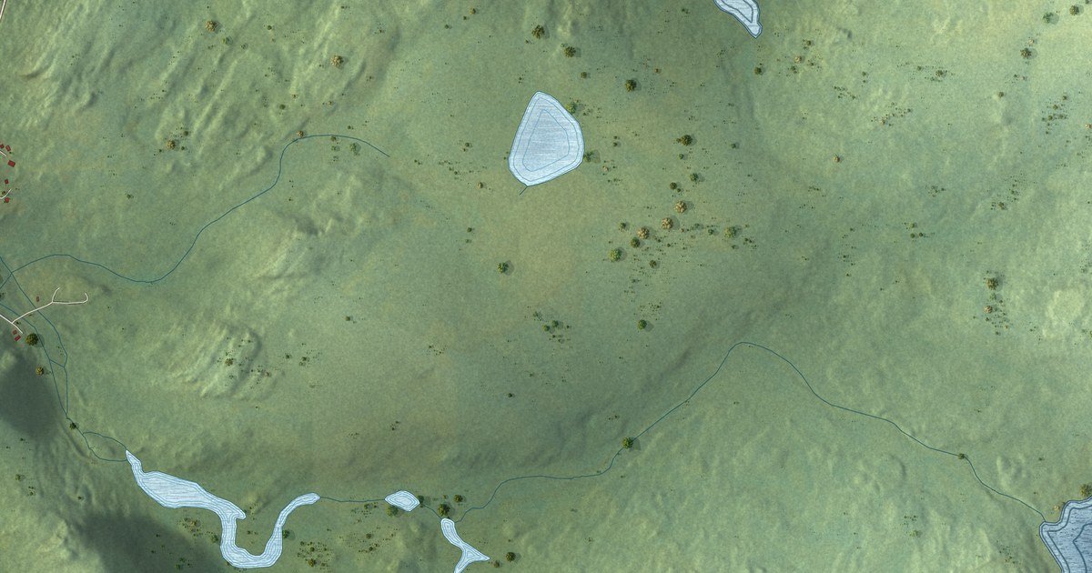
A detailed map of New Perlican, Newfoundland and Labrador, showing every building in its true location, the roads by name, and shaded topographical relief.
Read More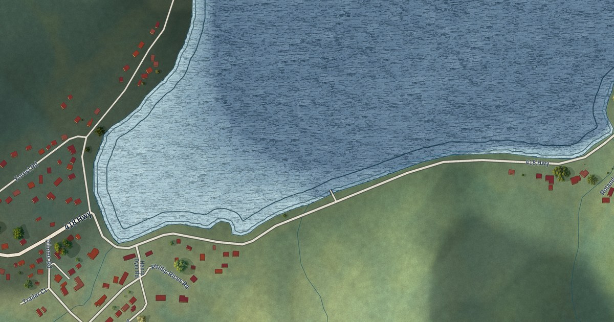
A detailed map of Ming’s Bight, Newfoundland and Labrador, showing every building in its true location, the roads by name, and shaded topographical relief.
Read More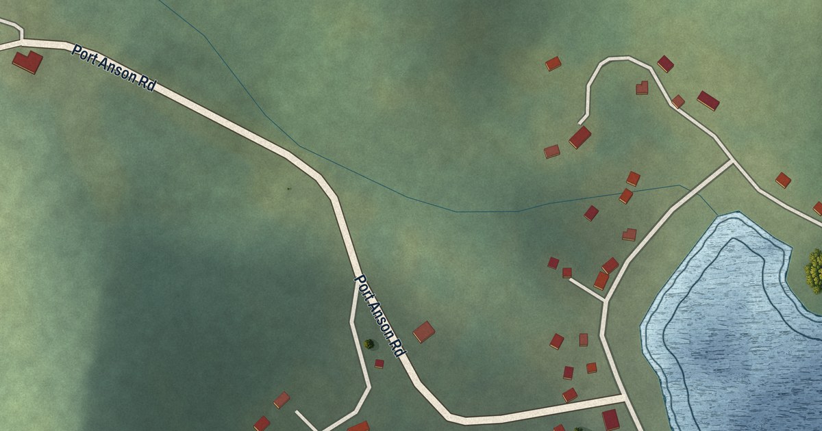
A detailed map of Miles Cove, Newfoundland and Labrador, showing every building in its true location, the roads by name, and shaded topographical relief.
Read More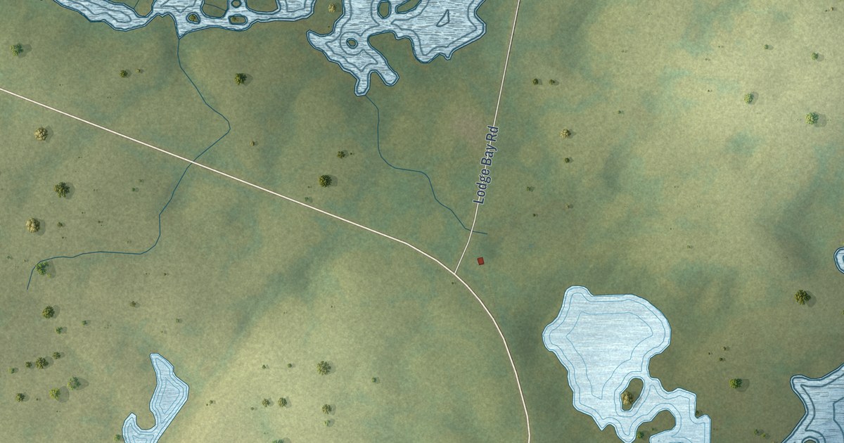
A detailed map of Mary’s Harbour, Newfoundland and Labrador, showing every building in its true location, the roads by name, and shaded topographical relief.
Read More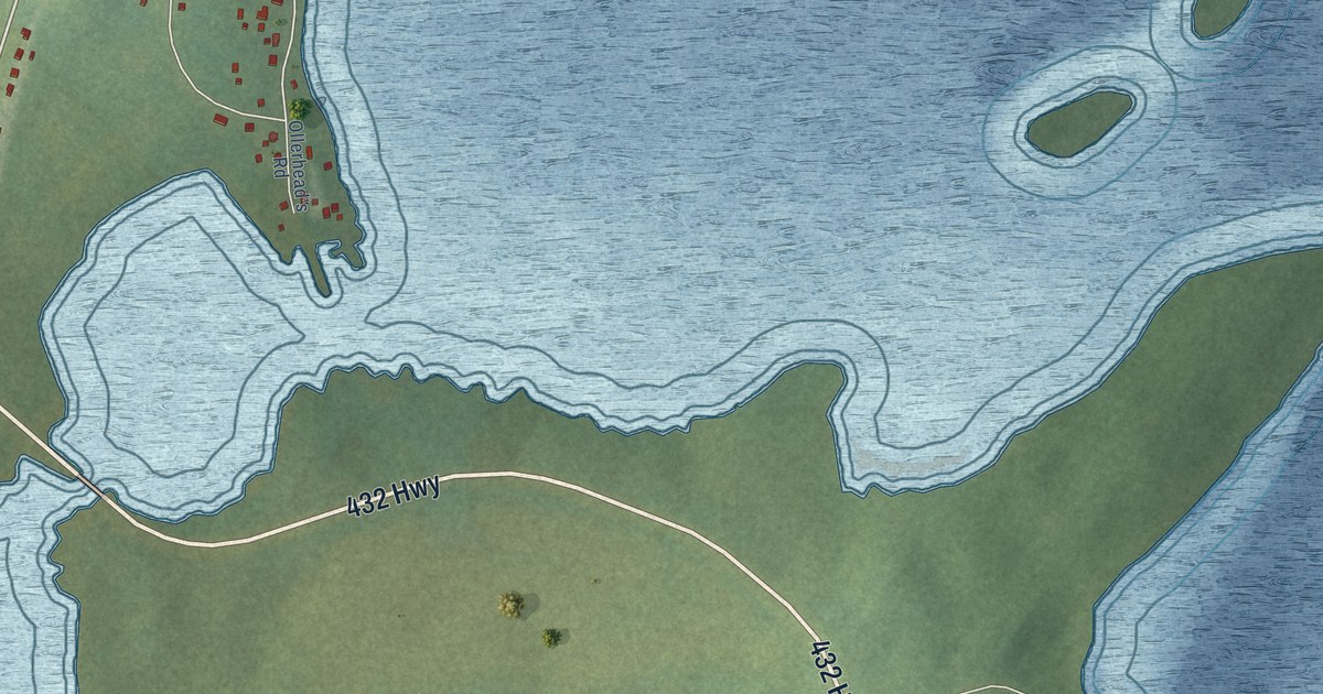
A detailed map of Main Brook, Newfoundland and Labrador, showing every building in its true location, the roads by name, and shaded topographical relief.
Read More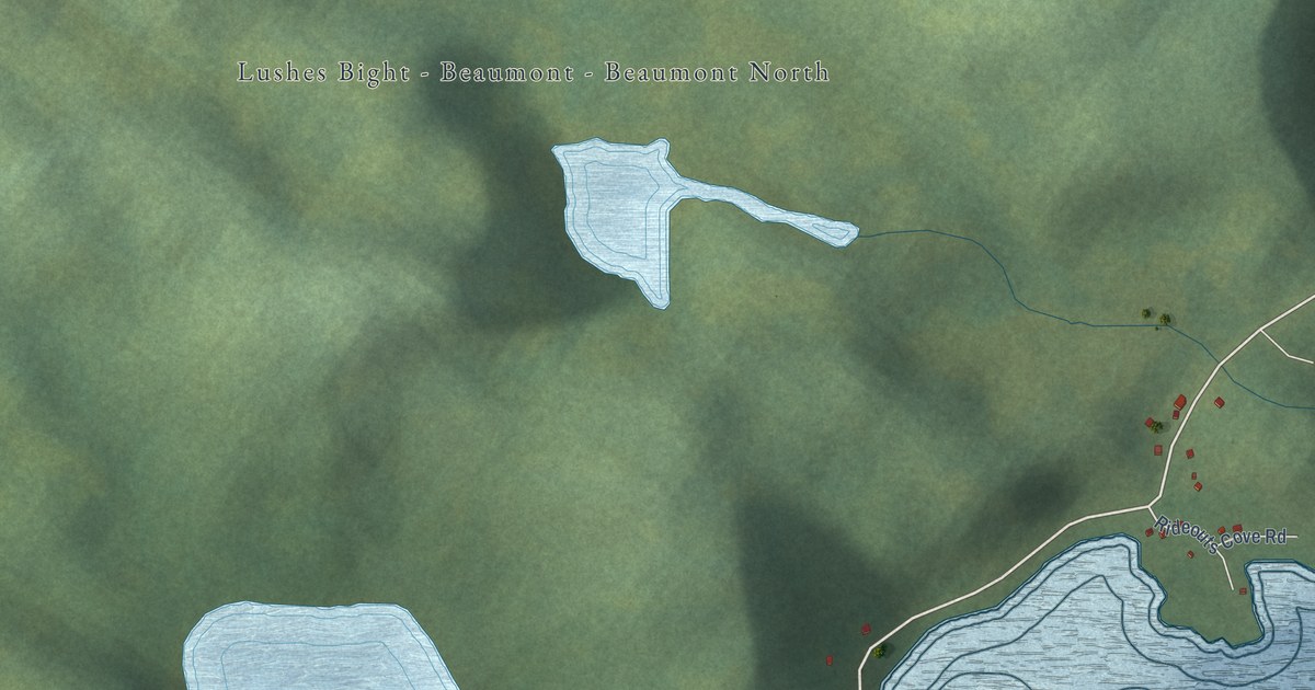
A detailed map of Lushes Bight-Beaumont-Beaumont North, Newfoundland and Labrador, showing every building in its true location, the roads by name, and shaded topographical relief.
Read More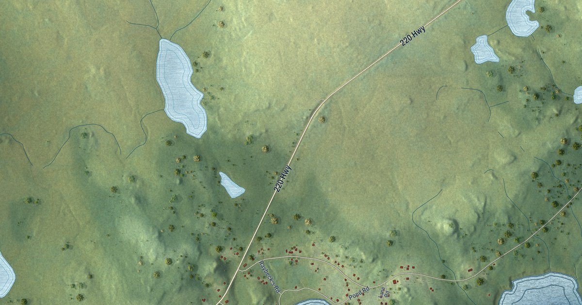
A detailed map of Lord’s Cove, Newfoundland and Labrador, showing every building in its true location, the roads by name, and shaded topographical relief.
Read More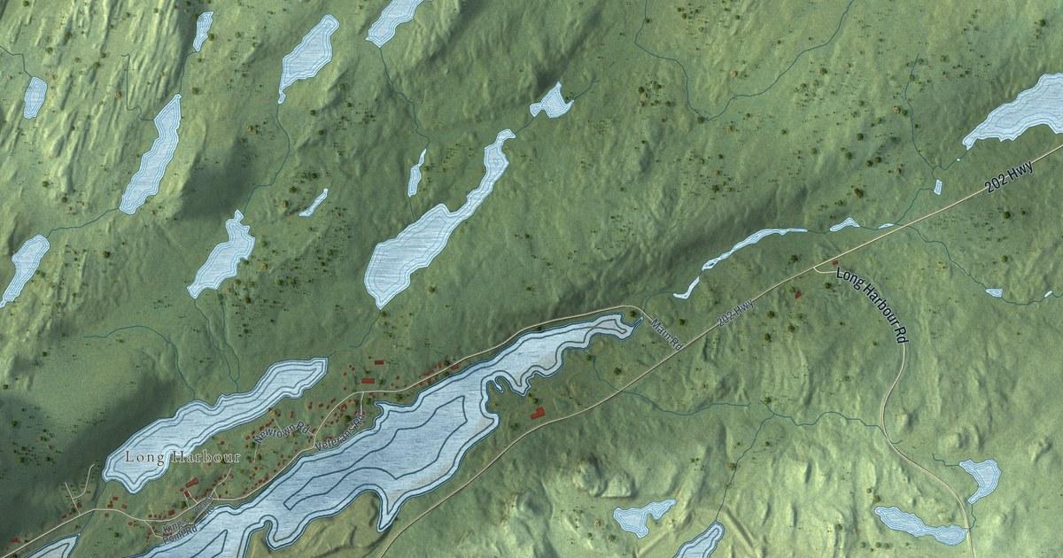
A detailed map of Long Harbour-Mount Arlington Heights, Newfoundland and Labrador, showing every building in its true location, the roads by name, and shaded topographical relief.
Read More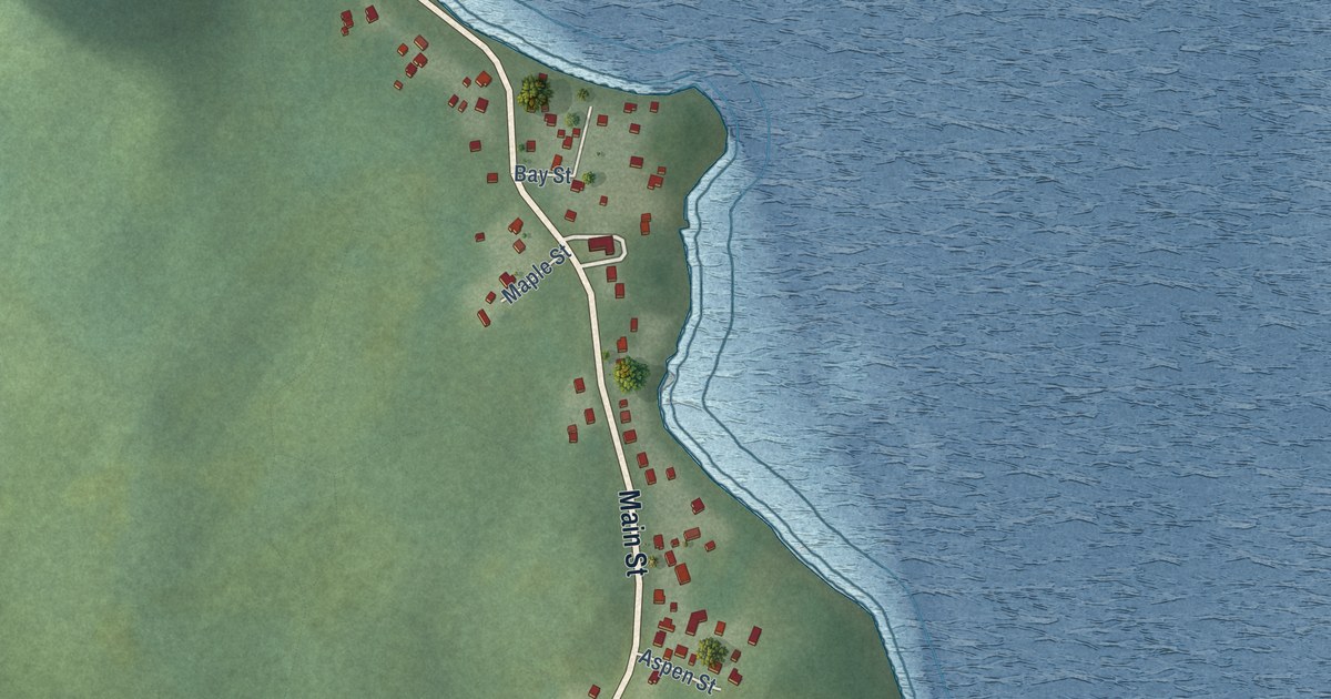
A detailed map of Little Burnt Bay, Newfoundland and Labrador, showing every building in its true location, the roads by name, and shaded topographical relief.
Read More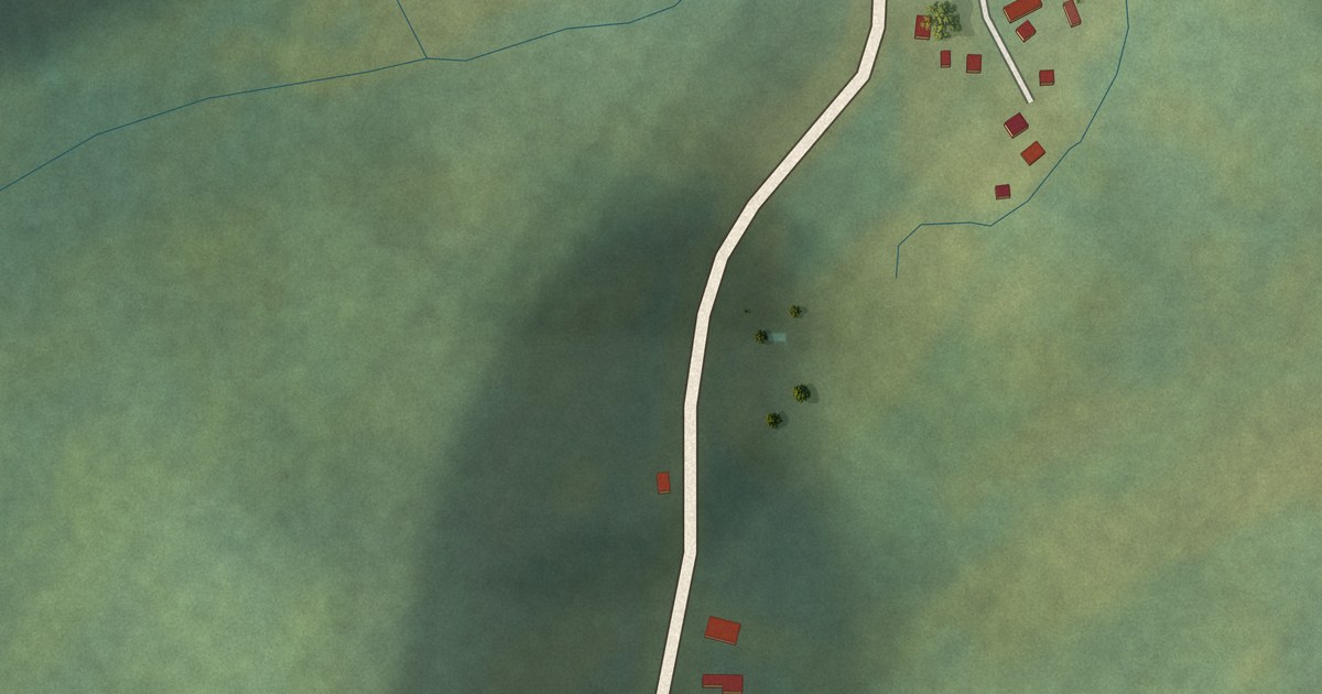
A detailed map of Little Bay, Newfoundland and Labrador, showing every building in its true location, the roads by name, and shaded topographical relief.
Read More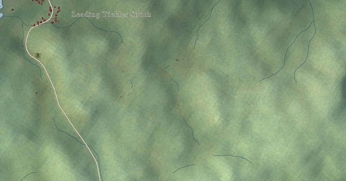
A detailed map of Leading Tickles, Newfoundland and Labrador, showing every building in its true location, the roads by name, and shaded topographical relief.
Read More















