Detailed Map of Lamaline, Newfoundland and Labrador
A detailed map of Lamaline, Newfoundland and Labrador, showing every building in its true location, the roads by name, and shaded topographical relief.
Read More
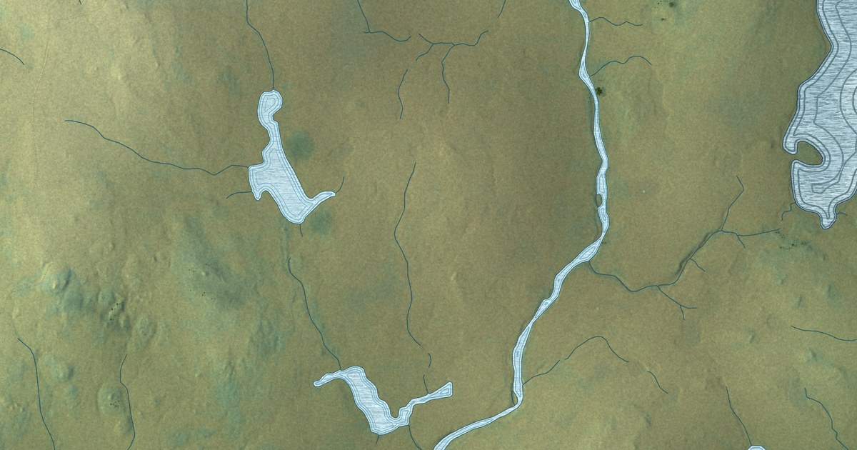
A detailed map of Lamaline, Newfoundland and Labrador, showing every building in its true location, the roads by name, and shaded topographical relief.
Read More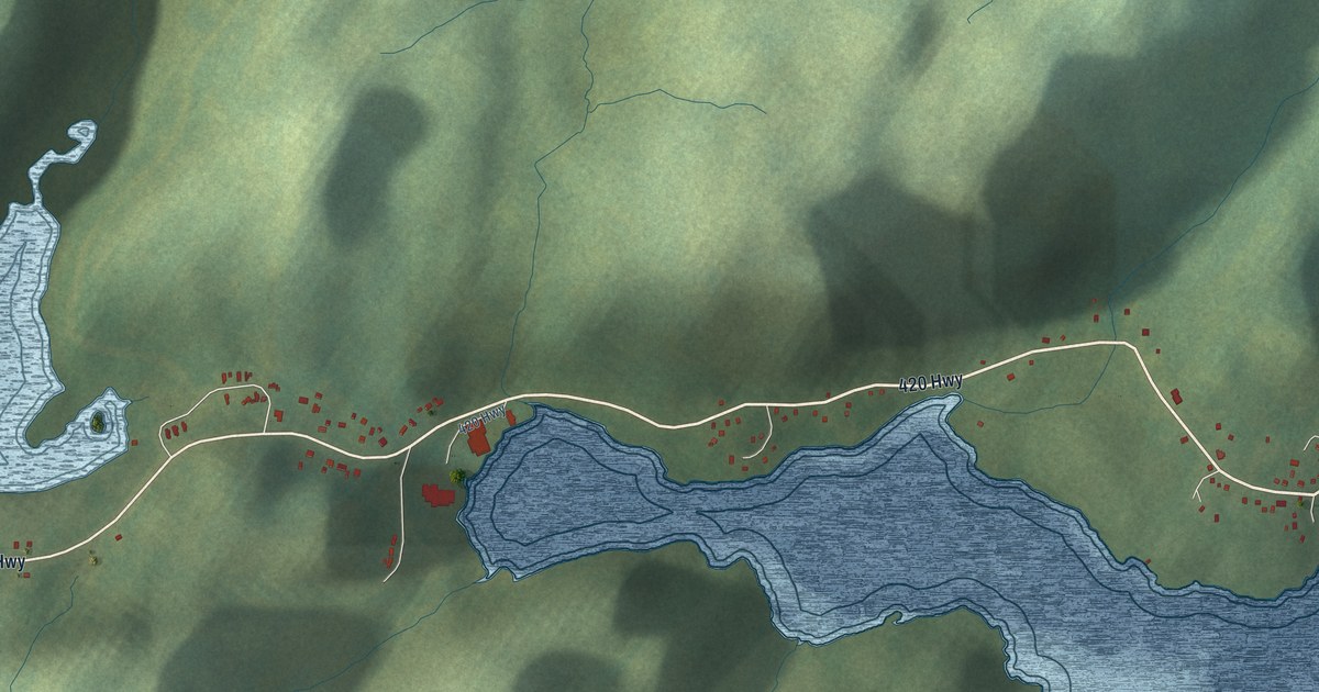
A detailed map of Jackson’s Arm, Newfoundland and Labrador, showing every building in its true location, the roads by name, and shaded topographical relief.
Read More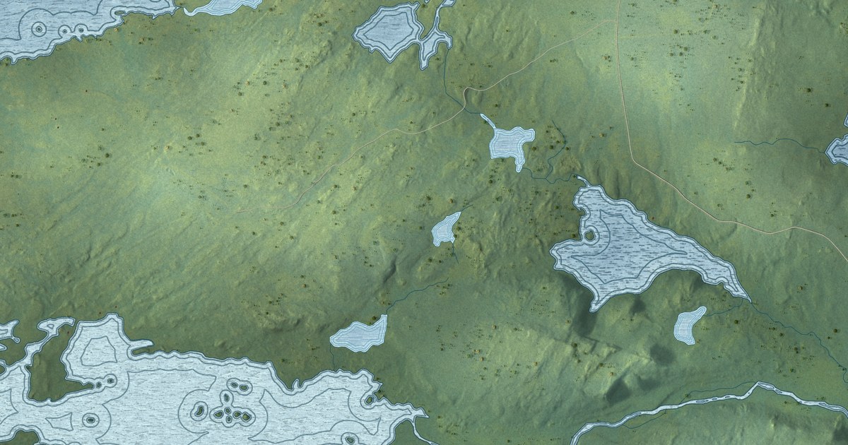
A detailed map of Indian Bay, Newfoundland and Labrador, showing every building in its true location, the roads by name, and shaded topographical relief.
Read More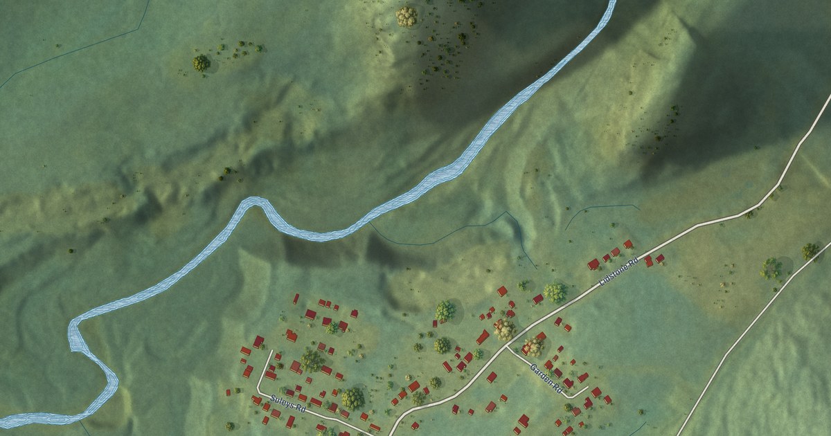
A detailed map of Hughes Brook, Newfoundland and Labrador, showing every building in its true location, the roads by name, and shaded topographical relief.
Read More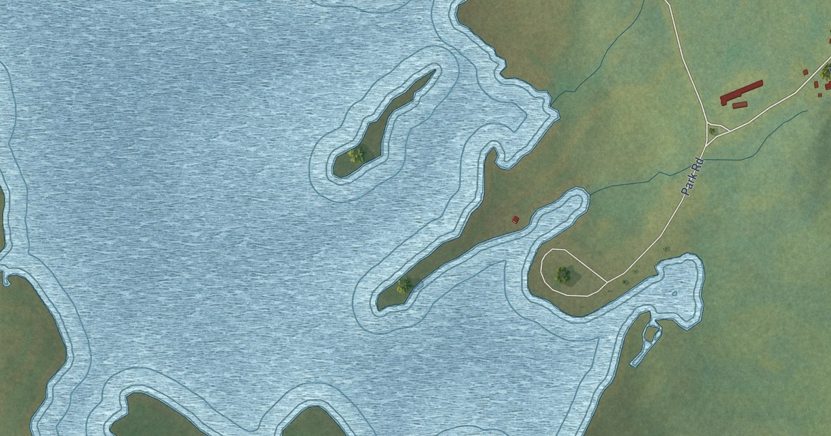
A detailed map of Howley, Newfoundland and Labrador, showing every building in its true location, the roads by name, and shaded topographical relief.
Read More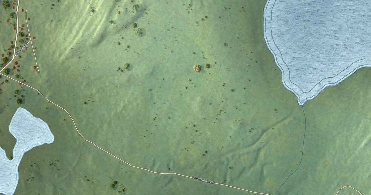
A detailed map of Heart’s Desire, Newfoundland and Labrador, showing every building in its true location, the roads by name, and shaded topographical relief.
Read More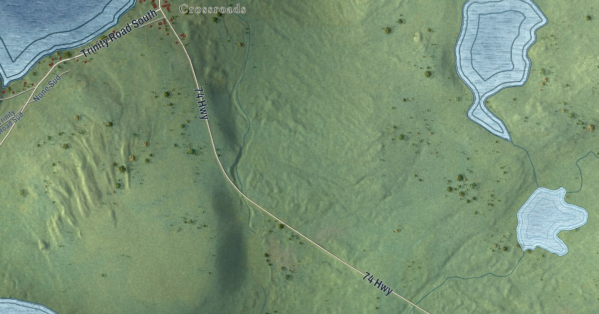
A detailed map of Heart’s Content, Newfoundland and Labrador, showing every building in its true location, the roads by name, and shaded topographical relief.
Read More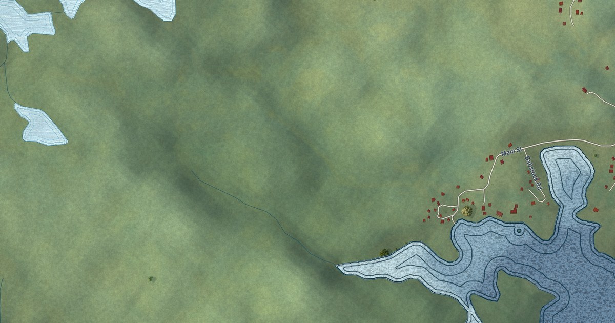
A detailed map of Happy Adventure, Newfoundland and Labrador, showing every building in its true location, the roads by name, and shaded topographical relief.
Read More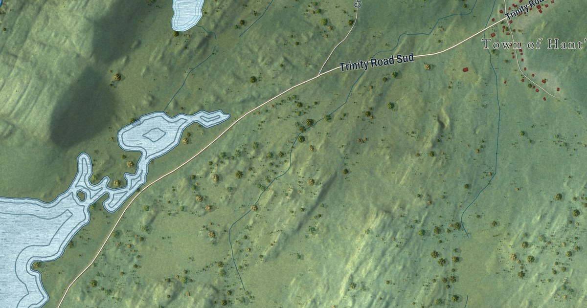
A detailed map of Hant’s Harbour, Newfoundland and Labrador, showing every building in its true location, the roads by name, and shaded topographical relief.
Read More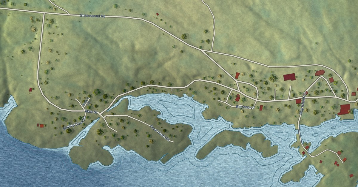
A detailed map of Greenspond, Newfoundland and Labrador, showing every building in its true location, the roads by name, and shaded topographical relief.
Read More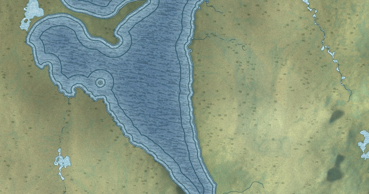
A detailed map of Grand Le Pierre, Newfoundland and Labrador, showing every building in its true location, the roads by name, and shaded topographical relief.
Read More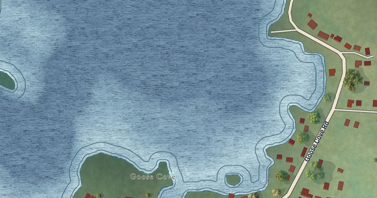
A detailed map of Goose Cove East, Newfoundland and Labrador, showing every building in its true location, the roads by name, and shaded topographical relief.
Read More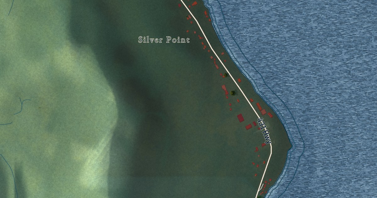
A detailed map of Glenburnie-Birchy Head-Shoal Brook, Newfoundland and Labrador, showing every building in its true location, the roads by name, and shaded topographical relief.
Read More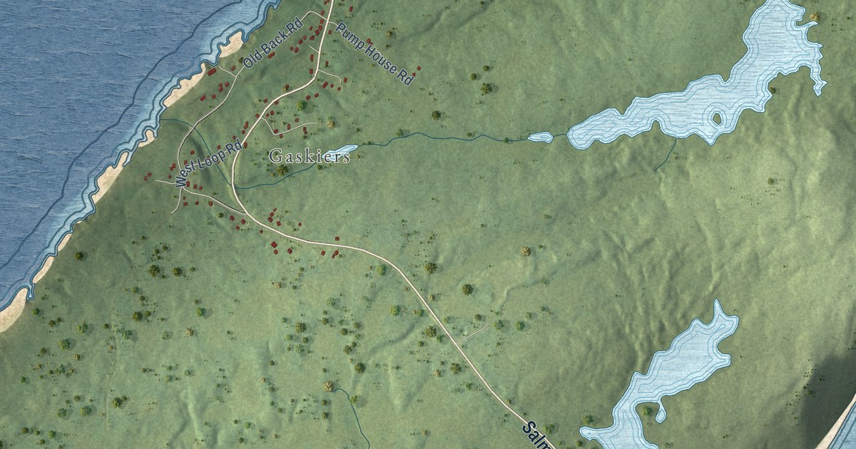
A detailed map of Gaskiers-Point La Haye, Newfoundland and Labrador, showing every building in its true location, the roads by name, and shaded topographical relief.
Read More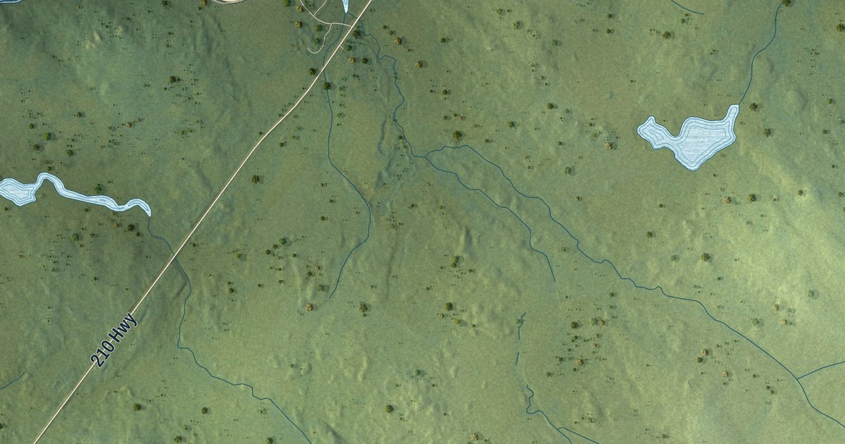
A detailed map of Frenchman’s Cove, Newfoundland and Labrador, showing every building in its true location, the roads by name, and shaded topographical relief.
Read More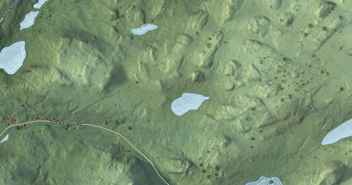
A detailed map of Fox Harbour, Newfoundland and Labrador, showing every building in its true location, the roads by name, and shaded topographical relief.
Read More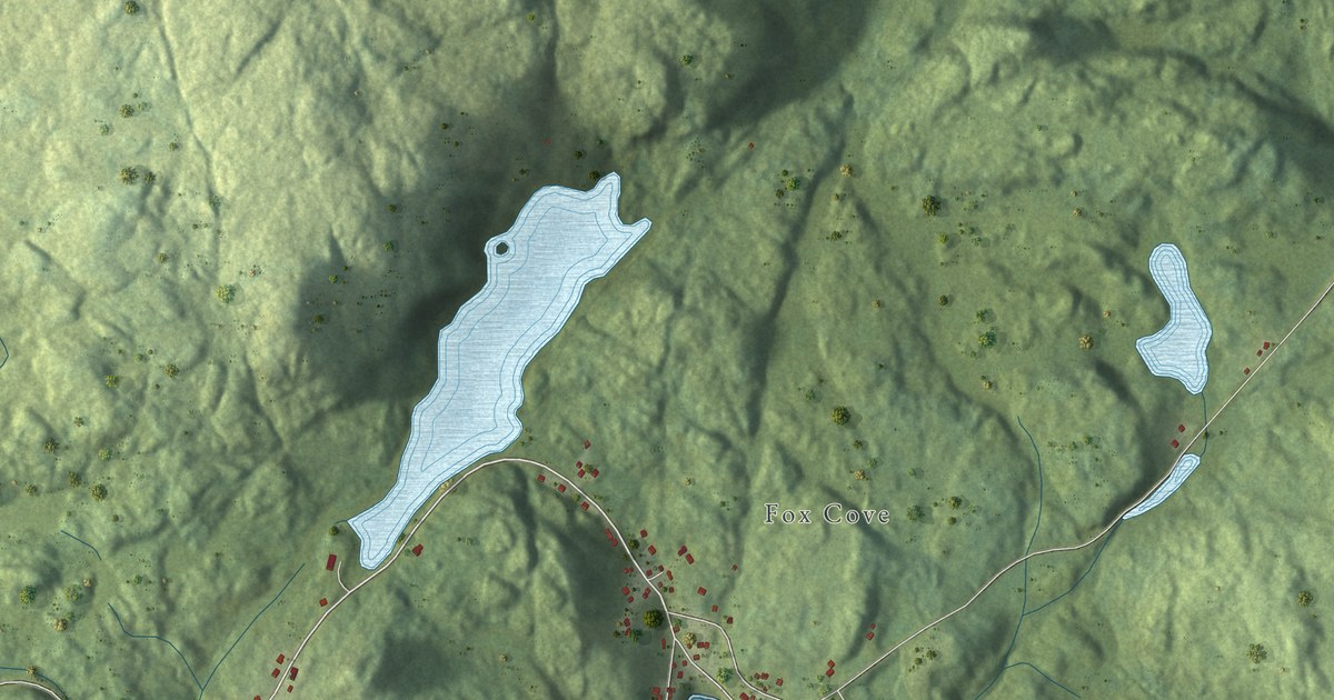
A detailed map of Fox Cove-Mortier, Newfoundland and Labrador, showing every building in its true location, the roads by name, and shaded topographical relief.
Read More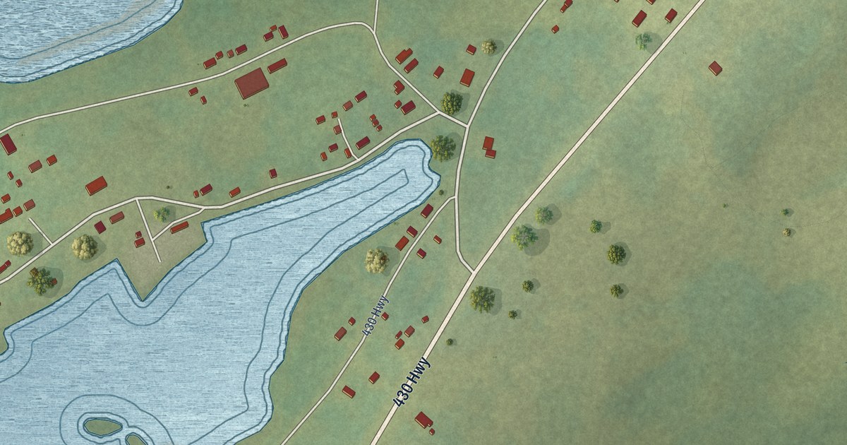
A detailed map of Flower’s Cove, Newfoundland and Labrador, showing every building in its true location, the roads by name, and shaded topographical relief.
Read More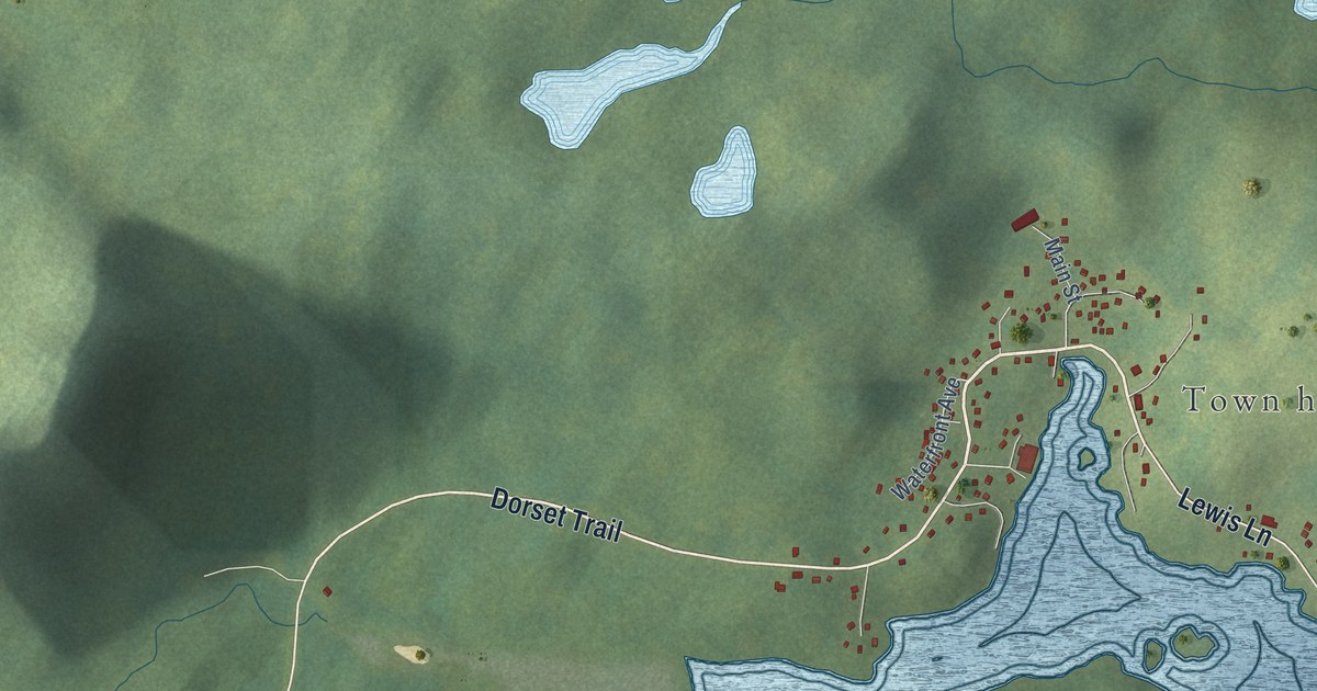
A detailed map of Fleur de Lys, Newfoundland and Labrador, showing every building in its true location, the roads by name, and shaded topographical relief.
Read More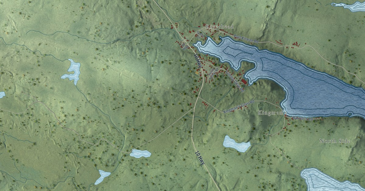
A detailed map of Fermeuse, Newfoundland and Labrador, showing every building in its true location, the roads by name, and shaded topographical relief.
Read More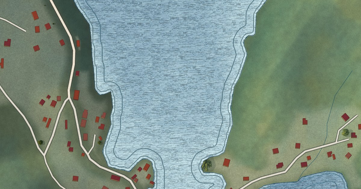
A detailed map of English Harbour East, Newfoundland and Labrador, showing every building in its true location, the roads by name, and shaded topographical relief.
Read More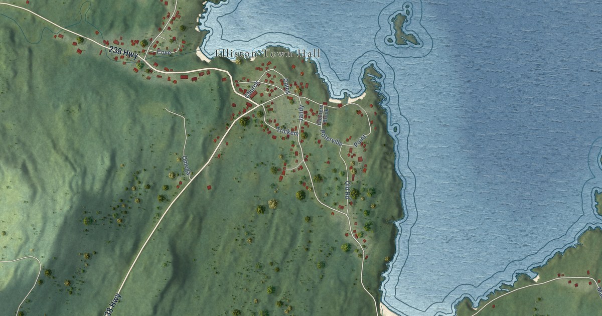
A detailed map of Elliston, Newfoundland and Labrador, showing every building in its true location, the roads by name, and shaded topographical relief.
Read More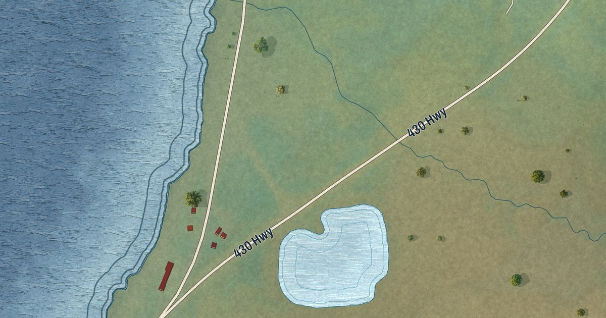
A detailed map of Daniel’s Harbour, Newfoundland and Labrador, showing every building in its true location, the roads by name, and shaded topographical relief.
Read More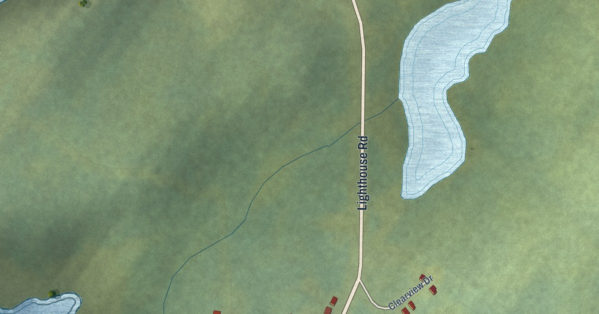
A detailed map of Crow Head, Newfoundland and Labrador, showing every building in its true location, the roads by name, and shaded topographical relief.
Read More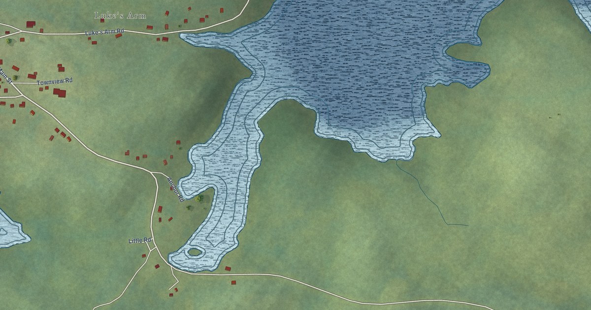
A detailed map of Cottlesville, Newfoundland and Labrador, showing every building in its true location, the roads by name, and shaded topographical relief.
Read More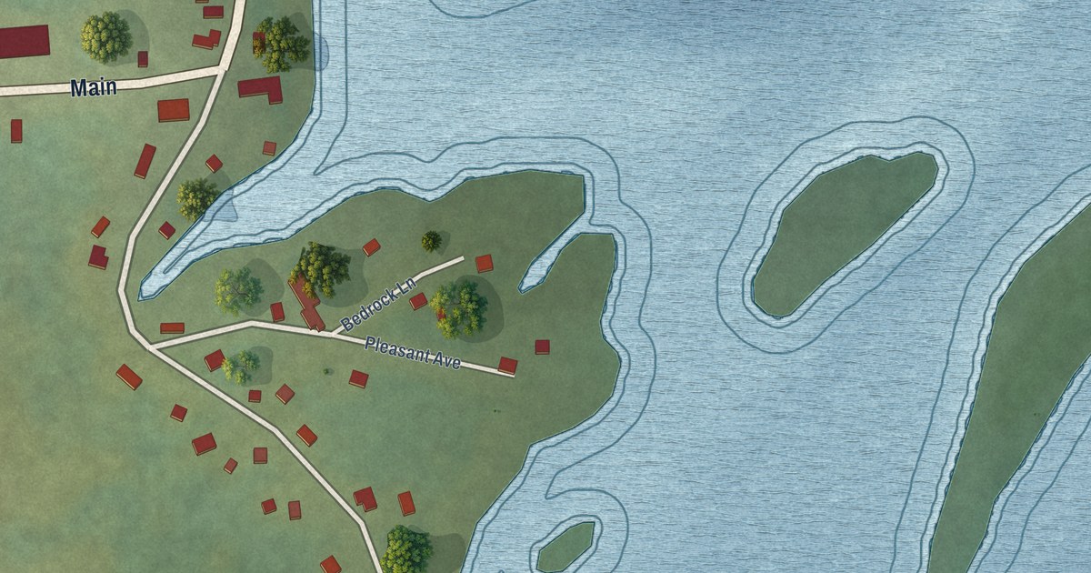
A detailed map of Cook’s Harbour, Newfoundland and Labrador, showing every building in its true location, the roads by name, and shaded topographical relief.
Read More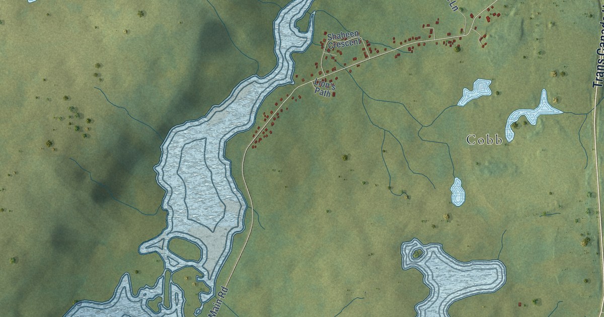
A detailed map of Come By Chance, Newfoundland and Labrador, showing every building in its true location, the roads by name, and shaded topographical relief.
Read More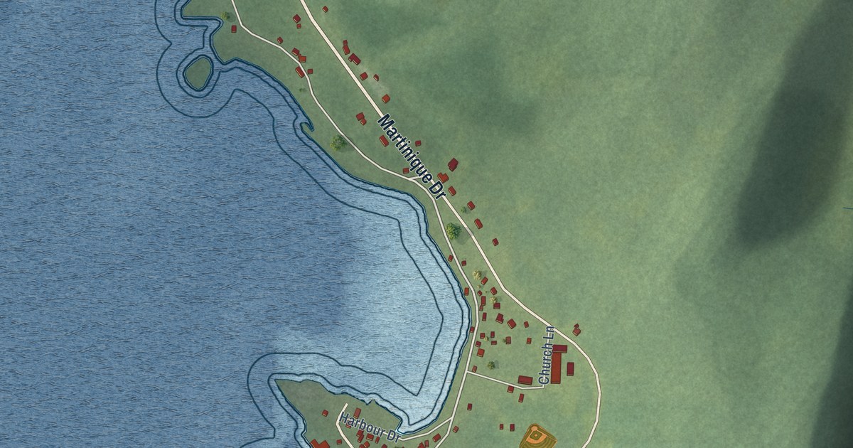
A detailed map of Conche, Newfoundland and Labrador, showing every building in its true location, the roads by name, and shaded topographical relief.
Read More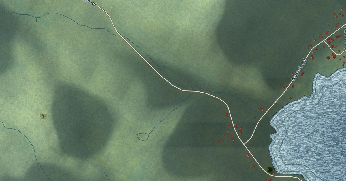
A detailed map of Coachman’s Cove, Newfoundland and Labrador, showing every building in its true location, the roads by name, and shaded topographical relief.
Read More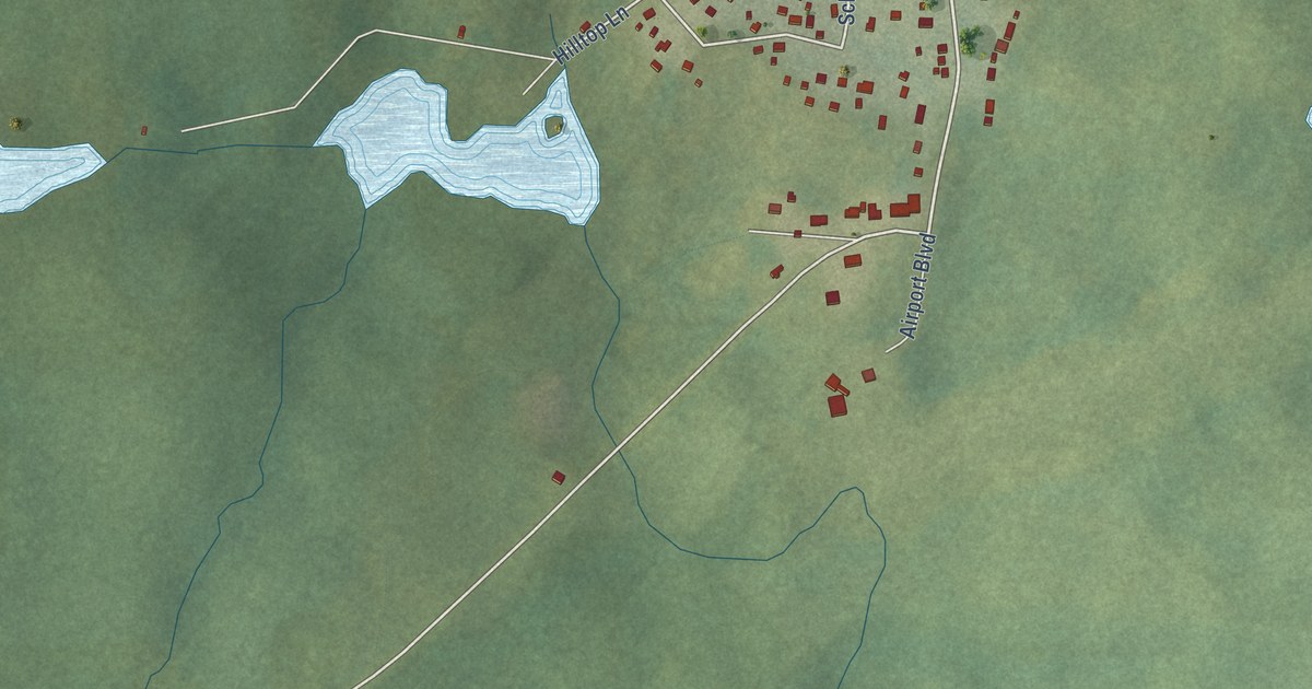
A detailed map of Charlottetown, Newfoundland and Labrador, showing every building in its true location, the roads by name, and shaded topographical relief.
Read More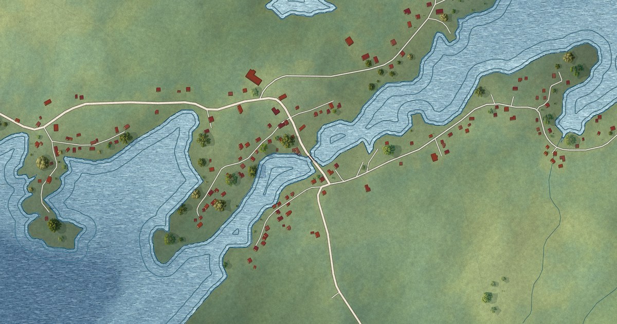
A detailed map of Change Islands, Newfoundland and Labrador, showing every building in its true location, the roads by name, and shaded topographical relief.
Read More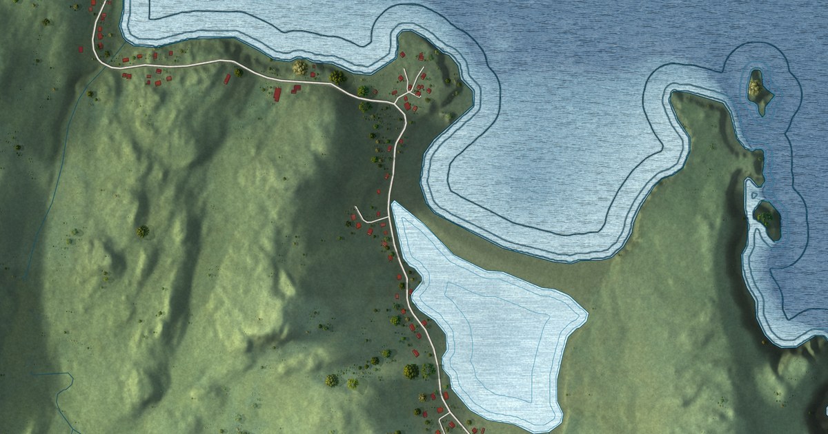
A detailed map of Chance Cove, Newfoundland and Labrador, showing every building in its true location, the roads by name, and shaded topographical relief.
Read More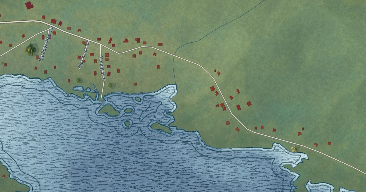
A detailed map of Burlington, Newfoundland and Labrador, showing every building in its true location, the roads by name, and shaded topographical relief.
Read More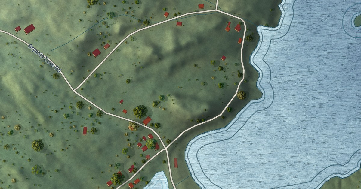
A detailed map of Bryant’s Cove, Newfoundland and Labrador, showing every building in its true location, the roads by name, and shaded topographical relief.
Read More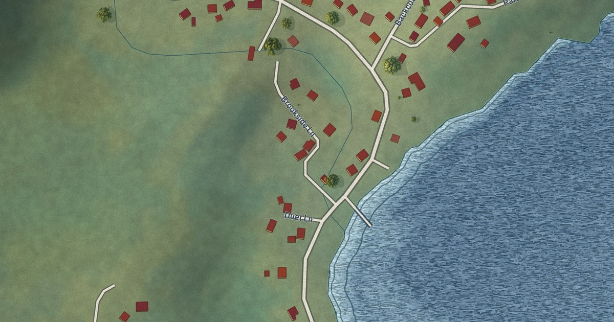
A detailed map of Beachside, Newfoundland and Labrador, showing every building in its true location, the roads by name, and shaded topographical relief.
Read More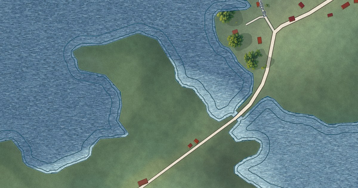
A detailed map of Brighton, Newfoundland and Labrador, showing every building in its true location, the roads by name, and shaded topographical relief.
Read More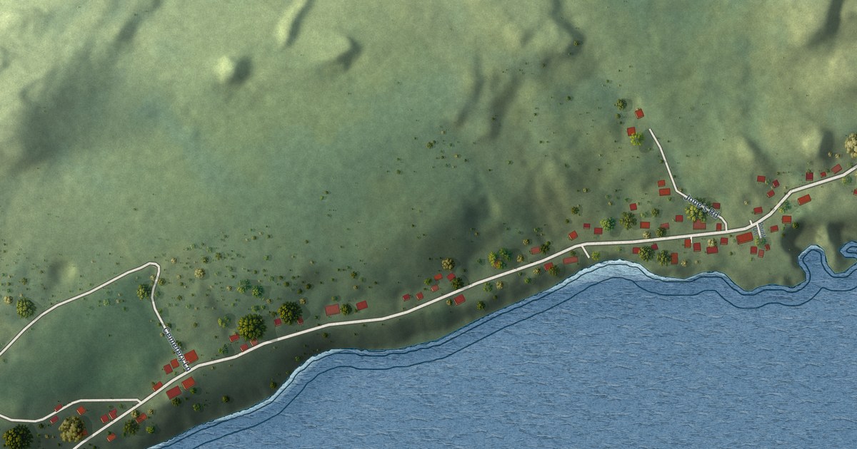
A detailed map of Bishop’s Cove, Newfoundland and Labrador, showing every building in its true location, the roads by name, and shaded topographical relief.
Read More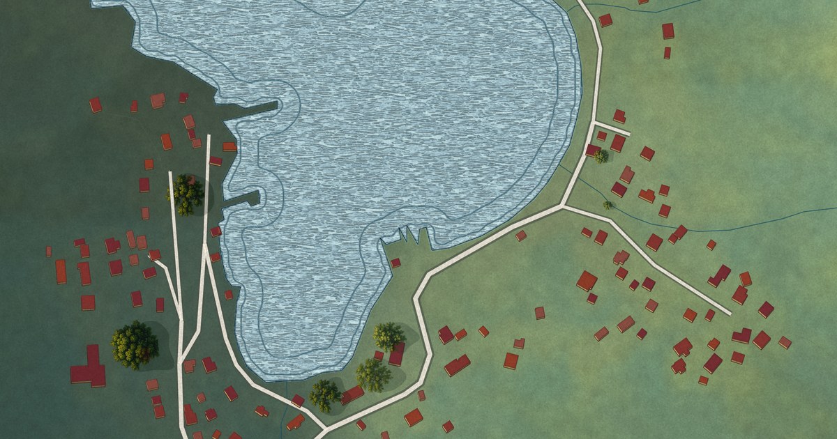
A detailed map of Brent’s Cove, Newfoundland and Labrador, showing every building in its true location, the roads by name, and shaded topographical relief.
Read More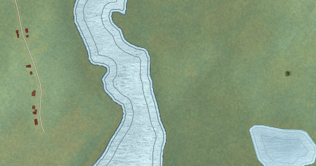
A detailed map of Bird Cove, Newfoundland and Labrador, showing every building in its true location, the roads by name, and shaded topographical relief.
Read More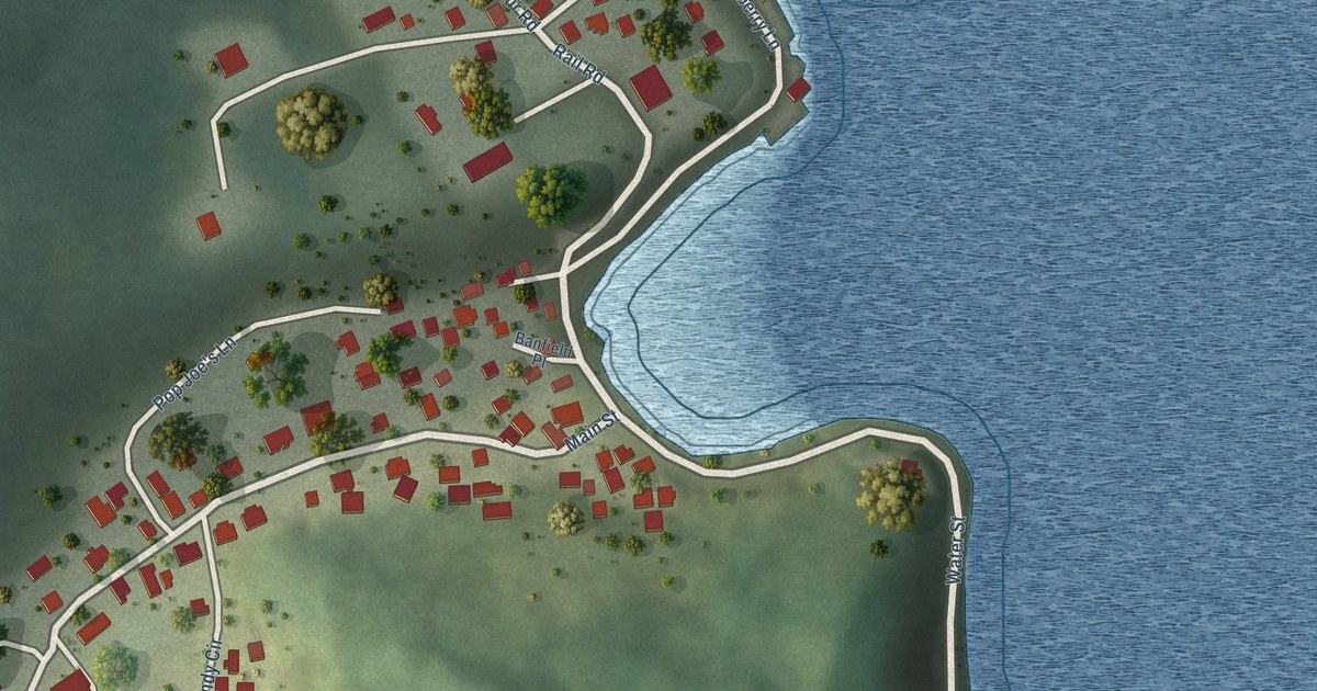
A detailed map of Bay L’Argent, Newfoundland and Labrador, showing every building in its true location, the roads by name, and shaded topographical relief.
Read More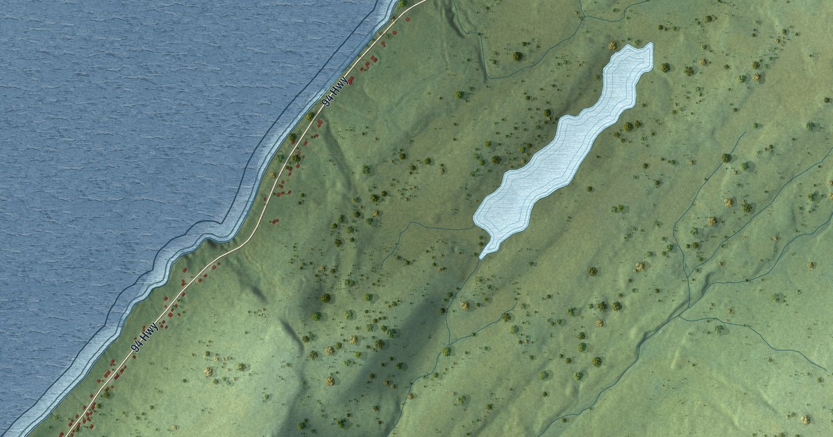
A detailed map of Admirals Beach, Newfoundland and Labrador, showing every building in its true location, the roads by name, and shaded topographical relief.
Read More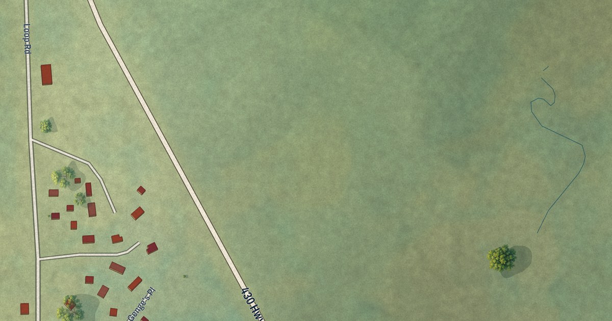
A detailed map of Anchor Point, Newfoundland and Labrador, showing every building in its true location, the roads by name, and shaded topographical relief.
Read More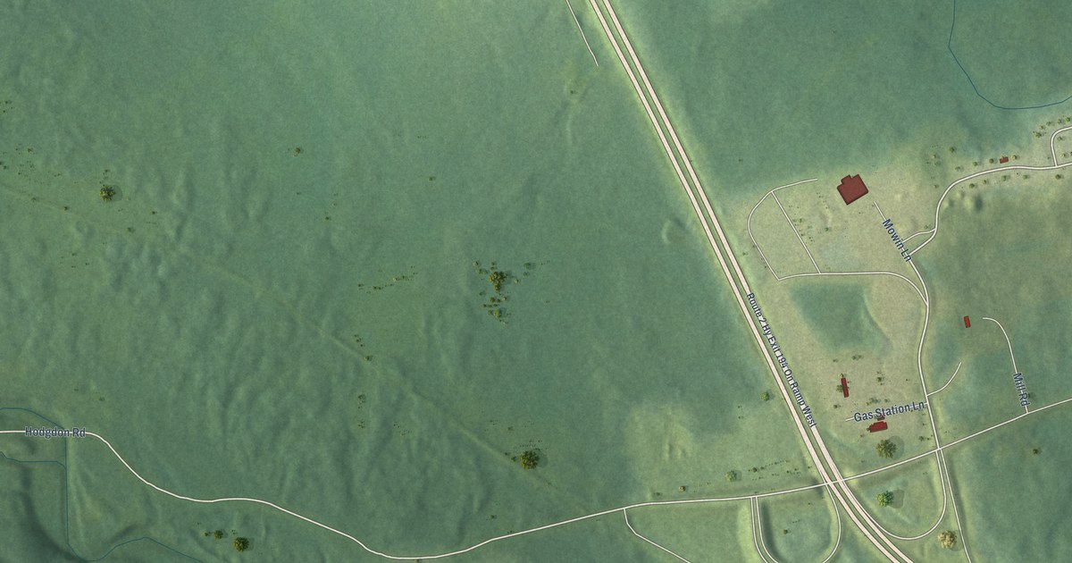
A detailed map of Woodstock First Nation, New Brunswick, showing every building in its true location, the roads by name, and shaded topographical relief.
Read More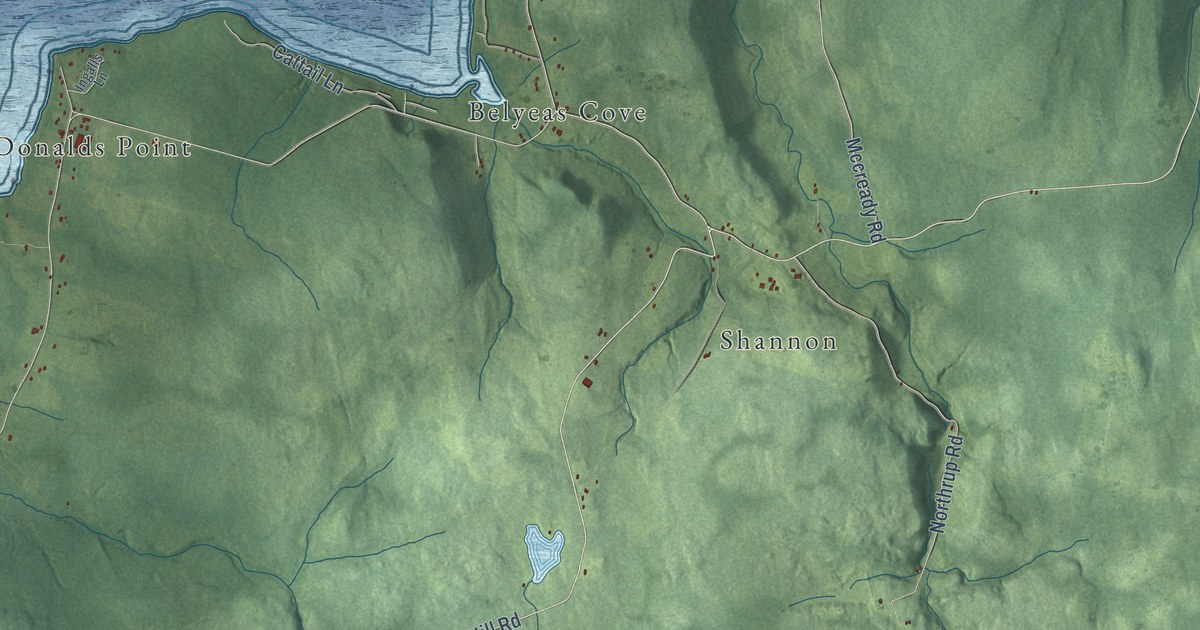
A detailed map of Wickham Parish, New Brunswick, showing every building in its true location, the roads by name, and shaded topographical relief.
Read More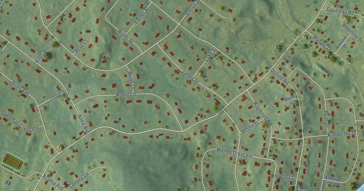
A detailed map of Wells, New Brunswick, showing every building in its true location, the roads by name, and shaded topographical relief.
Read More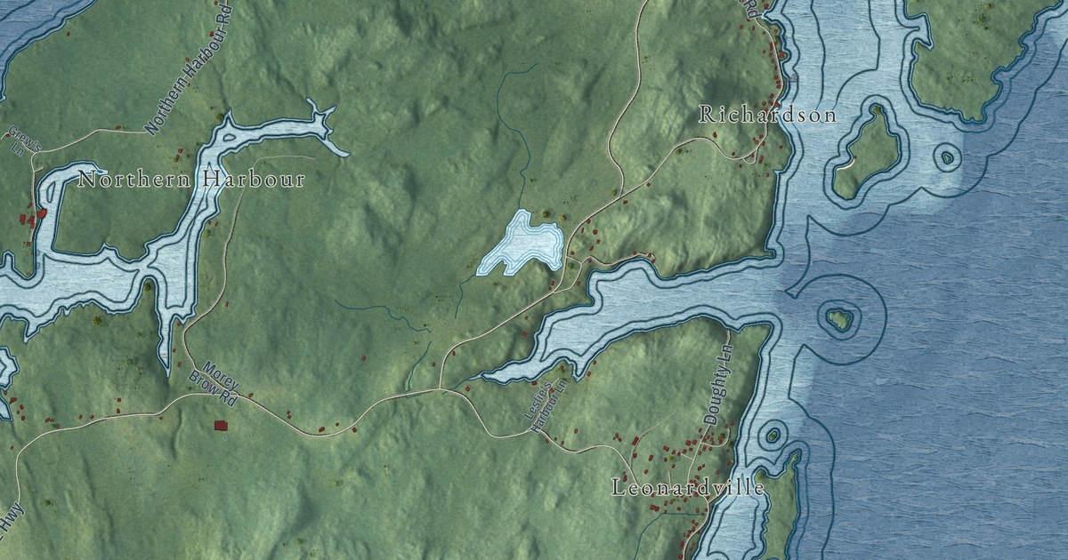
A detailed map of West Isles Parish, New Brunswick, showing every building in its true location, the roads by name, and shaded topographical relief.
Read More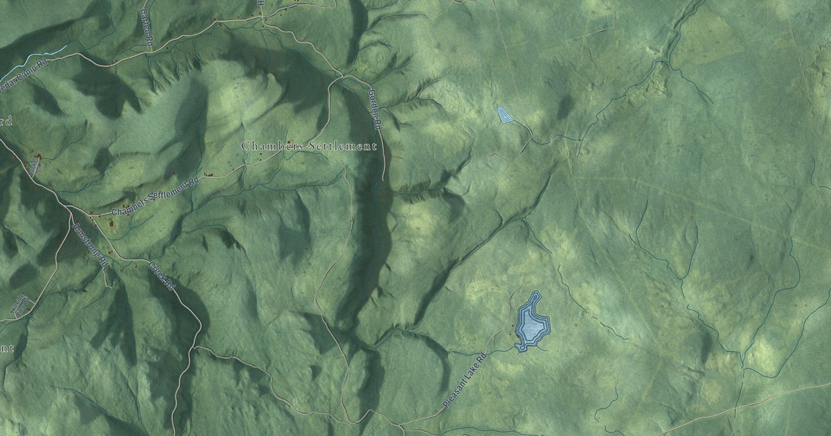
A detailed map of Waterford Parish, New Brunswick, showing every building in its true location, the roads by name, and shaded topographical relief.
Read More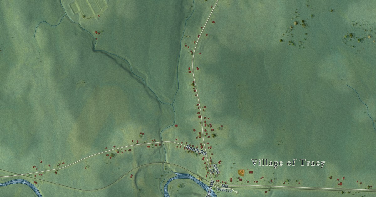
A detailed map of Tracy, New Brunswick, showing every building in its true location, the roads by name, and shaded topographical relief.
Read More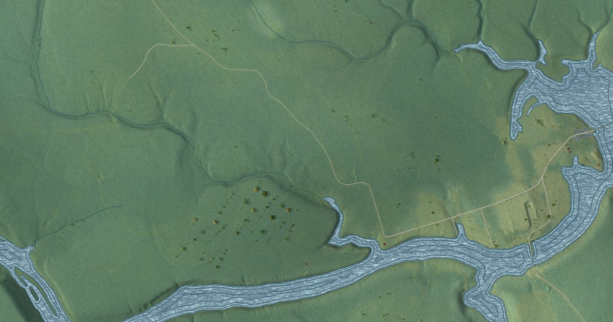
A detailed map of Tabusintac (Esgenoôpetitj First Nation), New Brunswick, showing every building in its true location, the roads by name, and shaded topographical relief.
Read More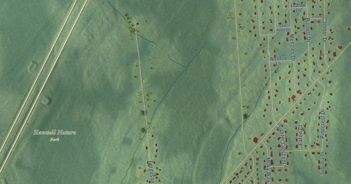
A detailed map of Starlight Village, New Brunswick, showing every building in its true location, the roads by name, and shaded topographical relief.
Read More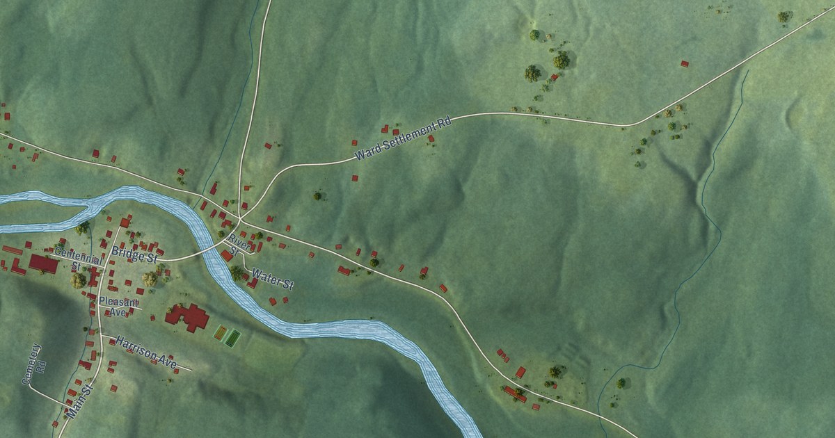
A detailed map of Stanley, New Brunswick, showing every building in its true location, the roads by name, and shaded topographical relief.
Read More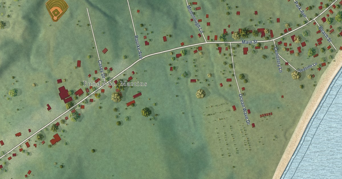
A detailed map of St. Martins, New Brunswick, showing every building in its true location, the roads by name, and shaded topographical relief.
Read More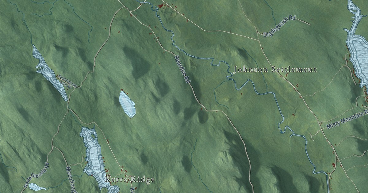
A detailed map of Saint Patrick Parish, New Brunswick, showing every building in its true location, the roads by name, and shaded topographical relief.
Read More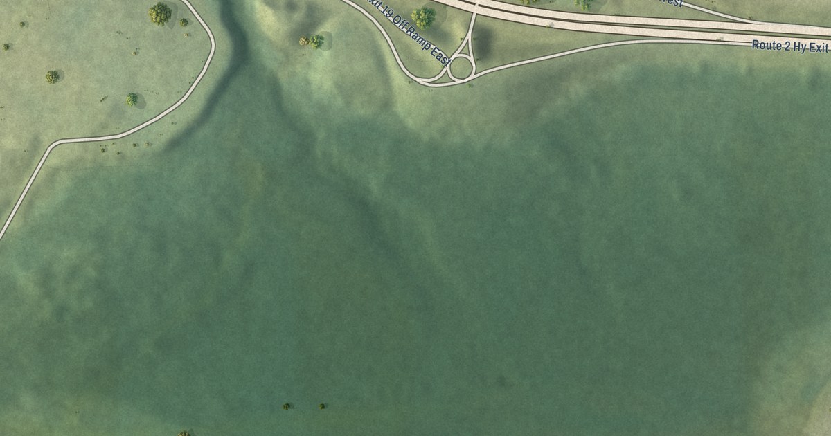
A detailed map of Madawaska Maliseet First Nation, New Brunswick, showing every building in its true location, the roads by name, and shaded topographical relief.
Read More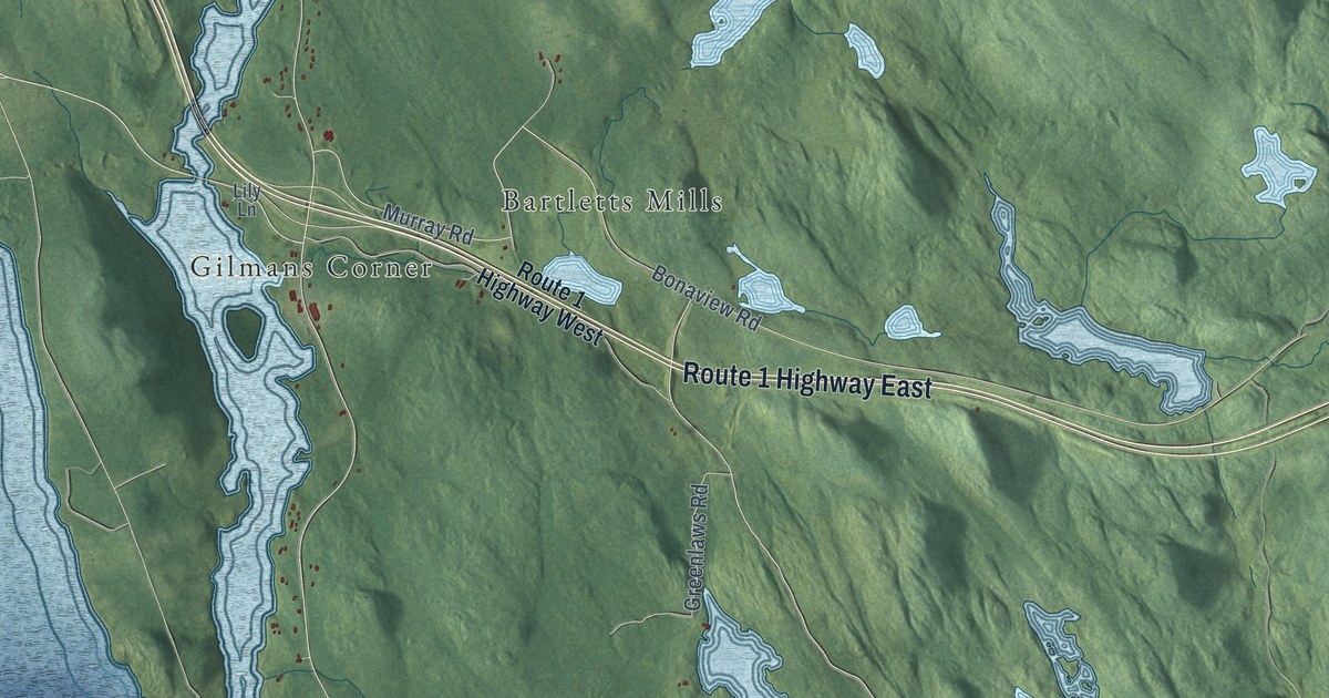
A detailed map of Saint Croix Parish, New Brunswick, showing every building in its true location, the roads by name, and shaded topographical relief.
Read More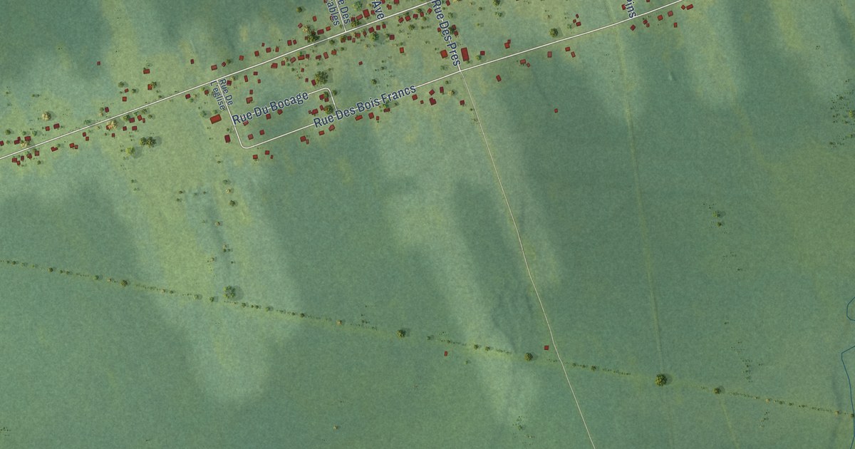
A detailed map of Saint-Léolin, New Brunswick, showing every building in its true location, the roads by name, and shaded topographical relief.
Read More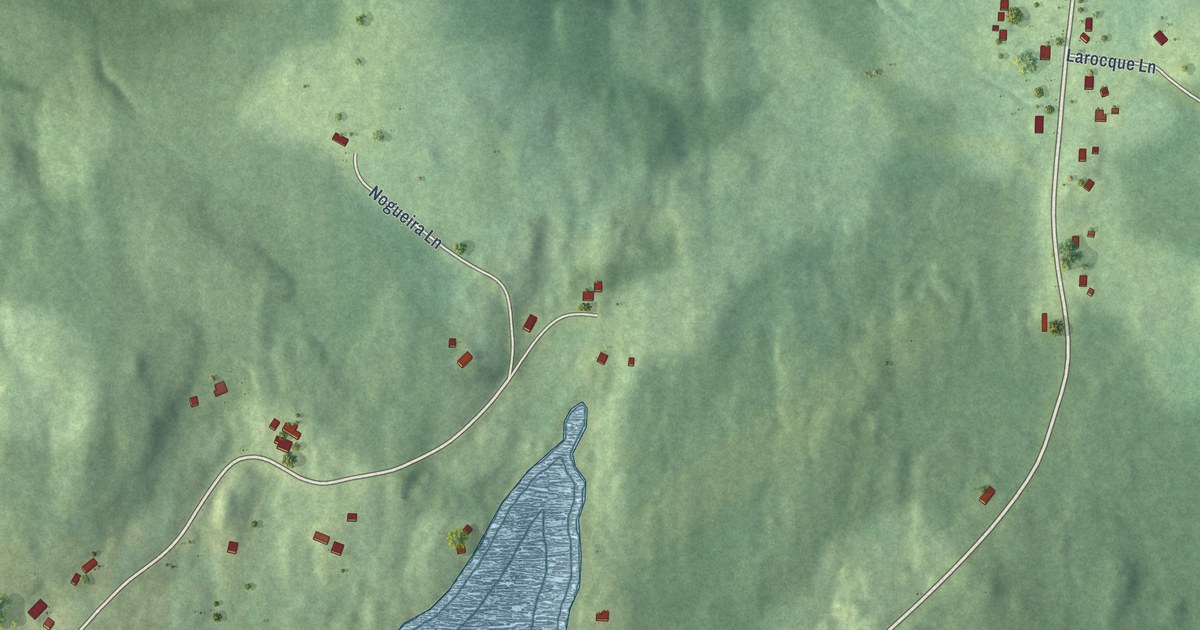
A detailed map of Rothesay Parish, New Brunswick, showing every building in its true location, the roads by name, and shaded topographical relief.
Read More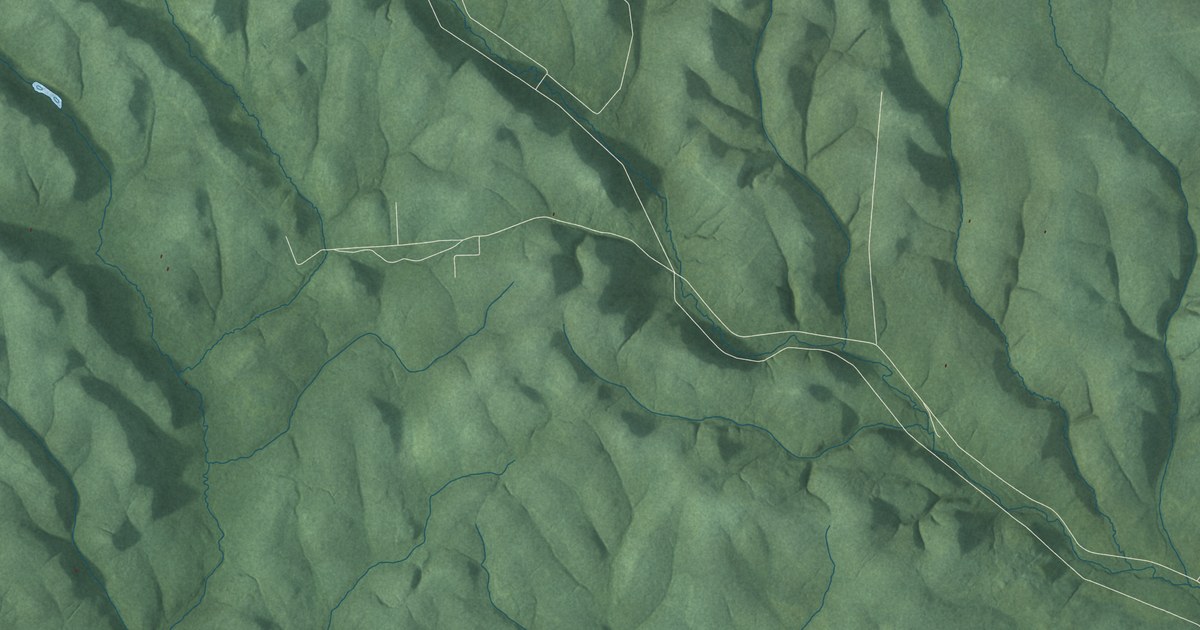
A detailed map of Rivière-Verte Parish, New Brunswick, showing every building in its true location, the roads by name, and shaded topographical relief.
Read More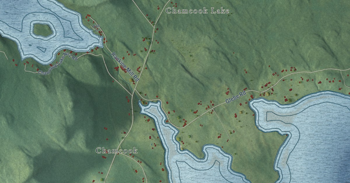
A detailed map of Saint Andrews Parish, New Brunswick, showing every building in its true location, the roads by name, and shaded topographical relief.
Read More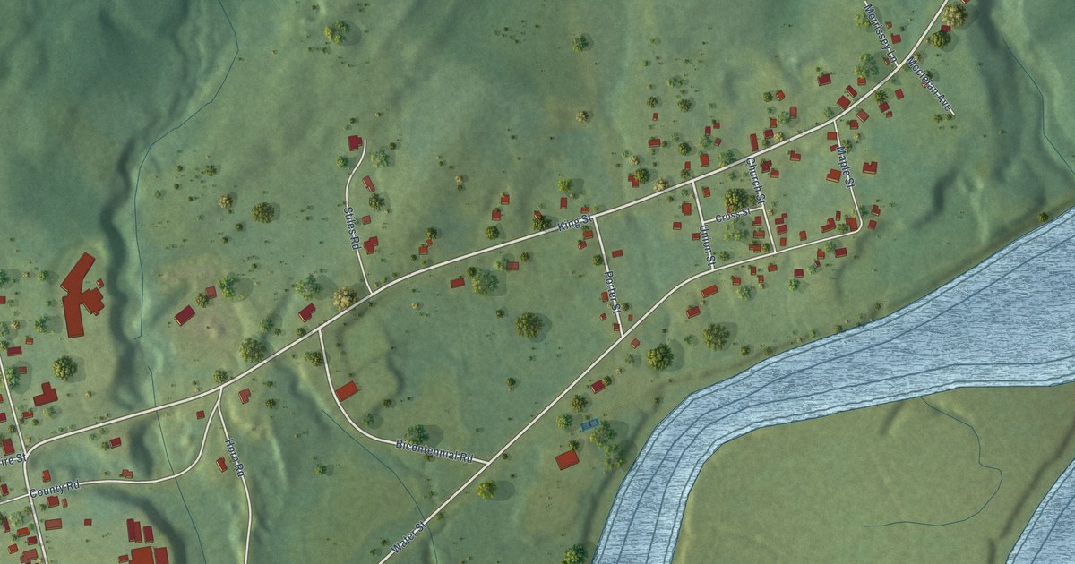
A detailed map of Riverside-Albert, New Brunswick, showing every building in its true location, the roads by name, and shaded topographical relief.
Read More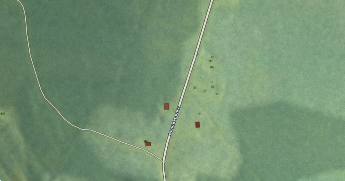
A detailed map of Renous (Natoaganeg First Nation), New Brunswick, showing every building in its true location, the roads by name, and shaded topographical relief.
Read More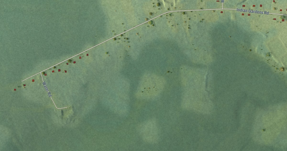
A detailed map of Metepenagiag, New Brunswick, showing every building in its true location, the roads by name, and shaded topographical relief.
Read More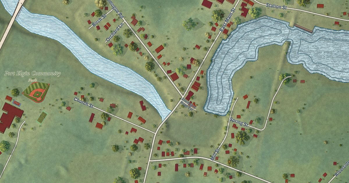
A detailed map of Port Elgin, New Brunswick, showing every building in its true location, the roads by name, and shaded topographical relief.
Read More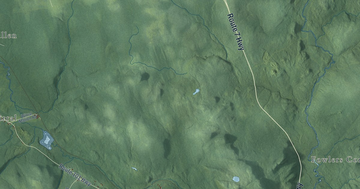
A detailed map of Petersville Parish, New Brunswick, showing every building in its true location, the roads by name, and shaded topographical relief.
Read More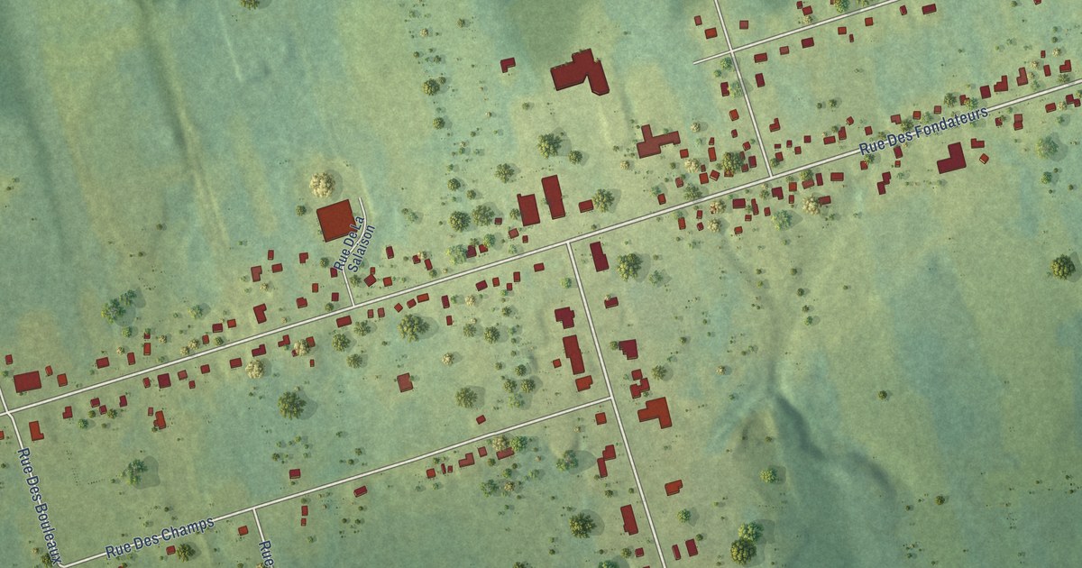
A detailed map of Paquetville, New Brunswick, showing every building in its true location, the roads by name, and shaded topographical relief.
Read More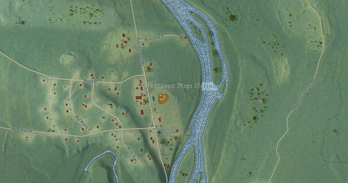
A detailed map of Oinpegitjoig, New Brunswick, showing every building in its true location, the roads by name, and shaded topographical relief.
Read More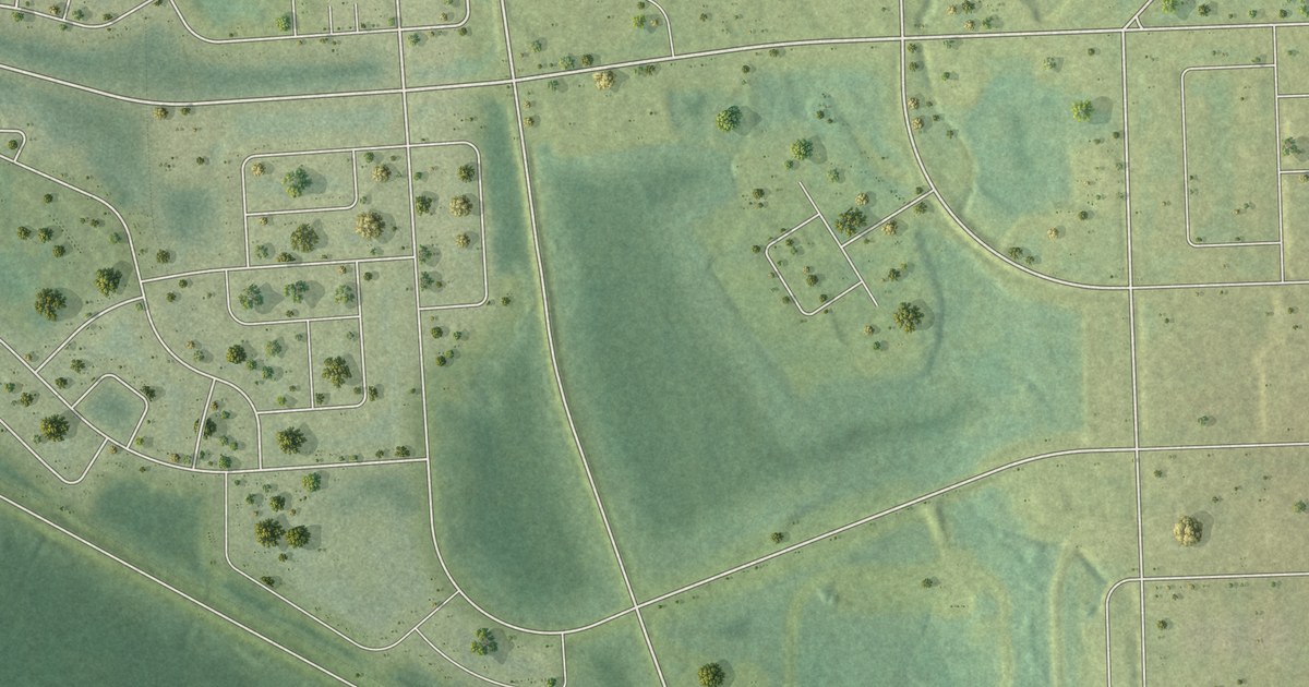
A detailed map of Oromocto First Nation, New Brunswick, showing every building in its true location, the roads by name, and shaded topographical relief.
Read More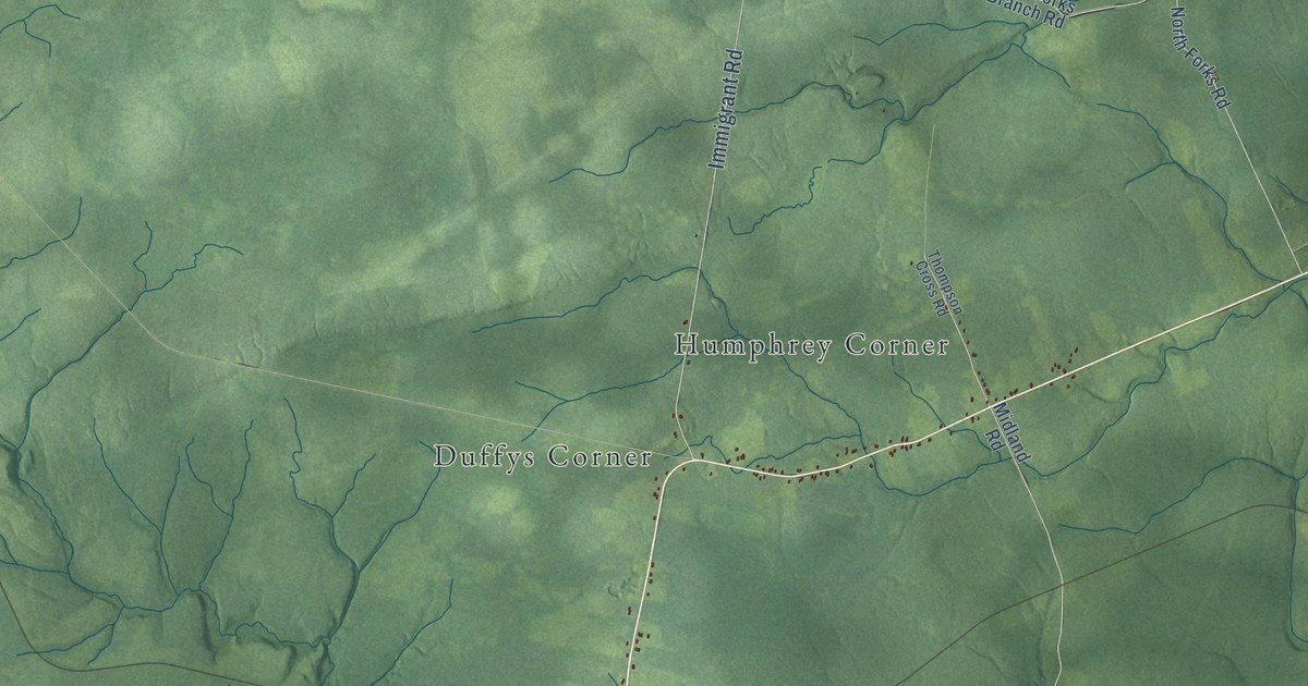
A detailed map of Northfield Parish, New Brunswick, showing every building in its true location, the roads by name, and shaded topographical relief.
Read More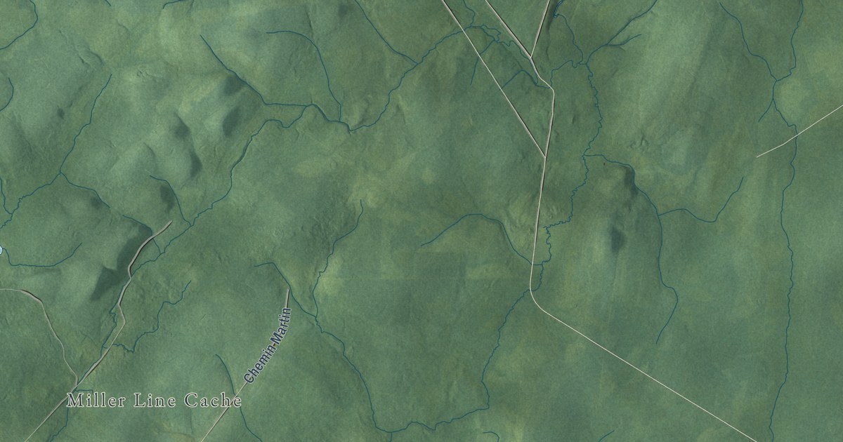
A detailed map of Notre-Dame-de-Lourdes Parish, New Brunswick, showing every building in its true location, the roads by name, and shaded topographical relief.
Read More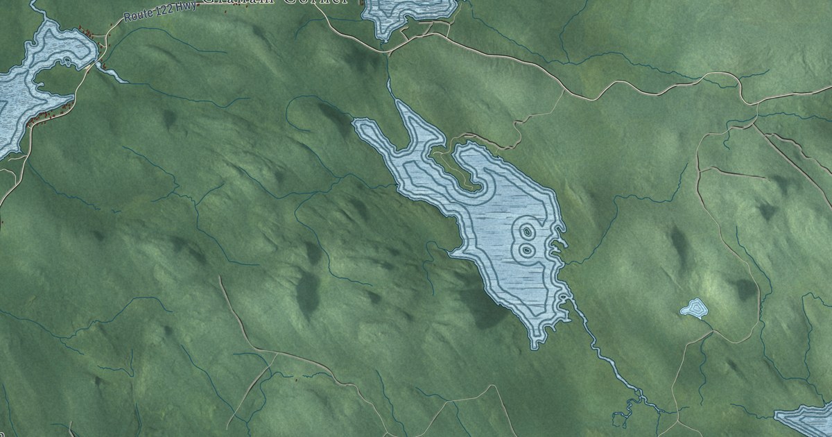
A detailed map of North Lake Parish, New Brunswick, showing every building in its true location, the roads by name, and shaded topographical relief.
Read More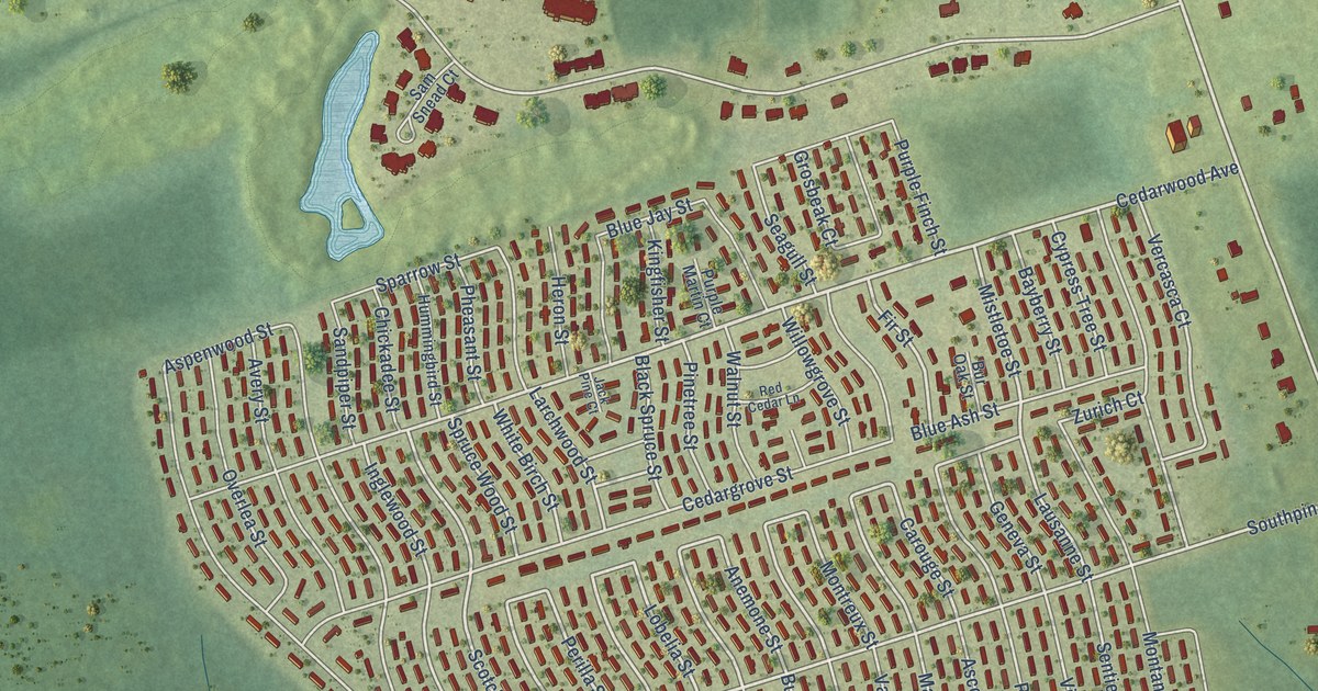
A detailed map of McEwen, New Brunswick, showing every building in its true location, the roads by name, and shaded topographical relief.
Read More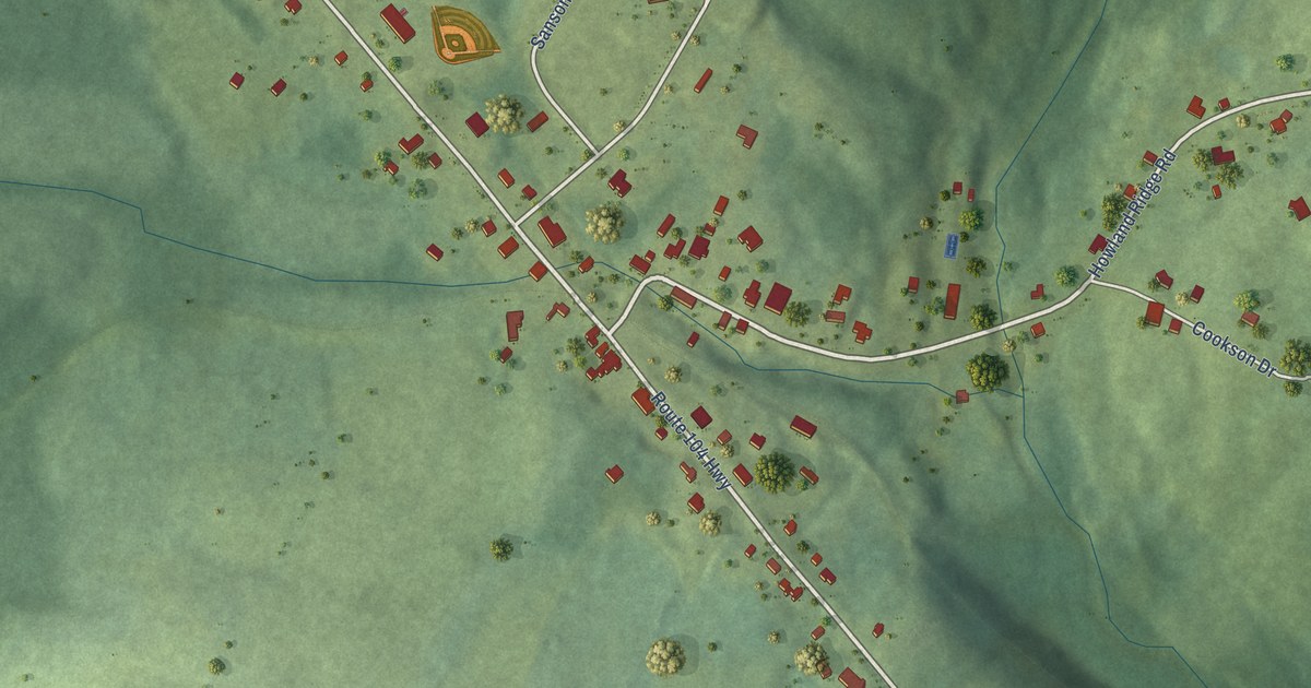
A detailed map of Millville, New Brunswick, showing every building in its true location, the roads by name, and shaded topographical relief.
Read More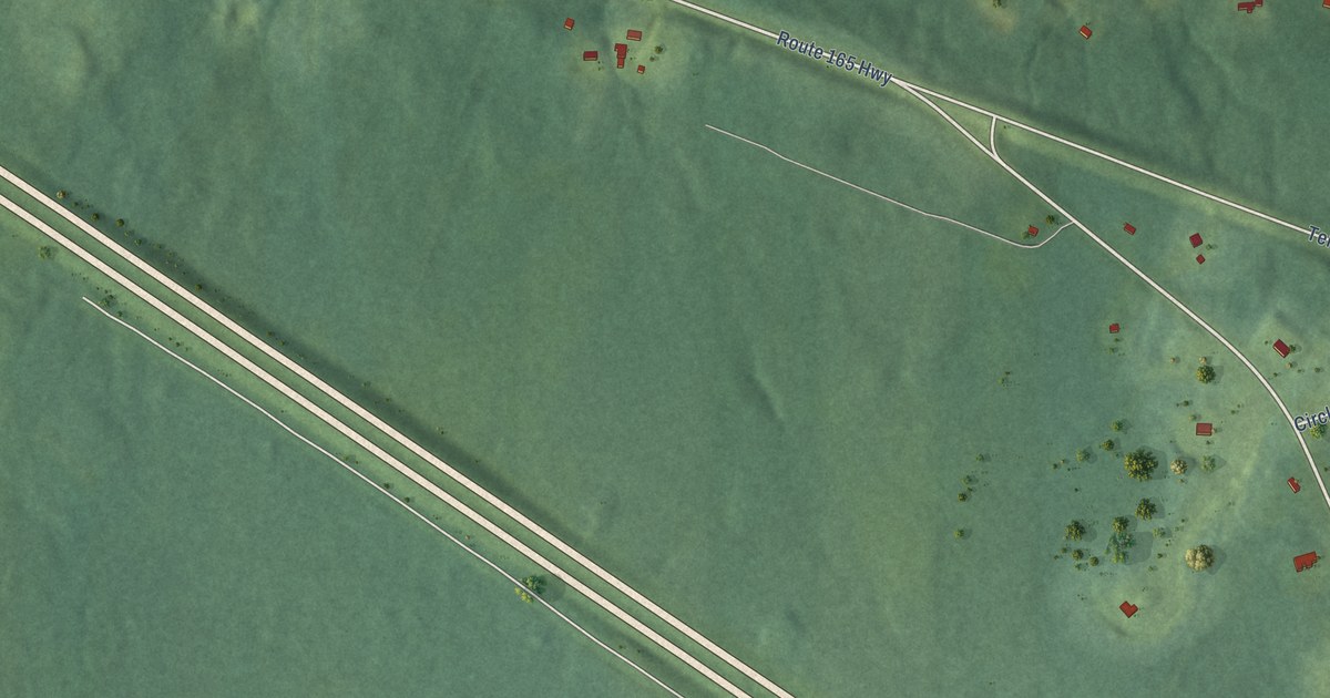
A detailed map of Meductic, New Brunswick, showing every building in its true location, the roads by name, and shaded topographical relief.
Read More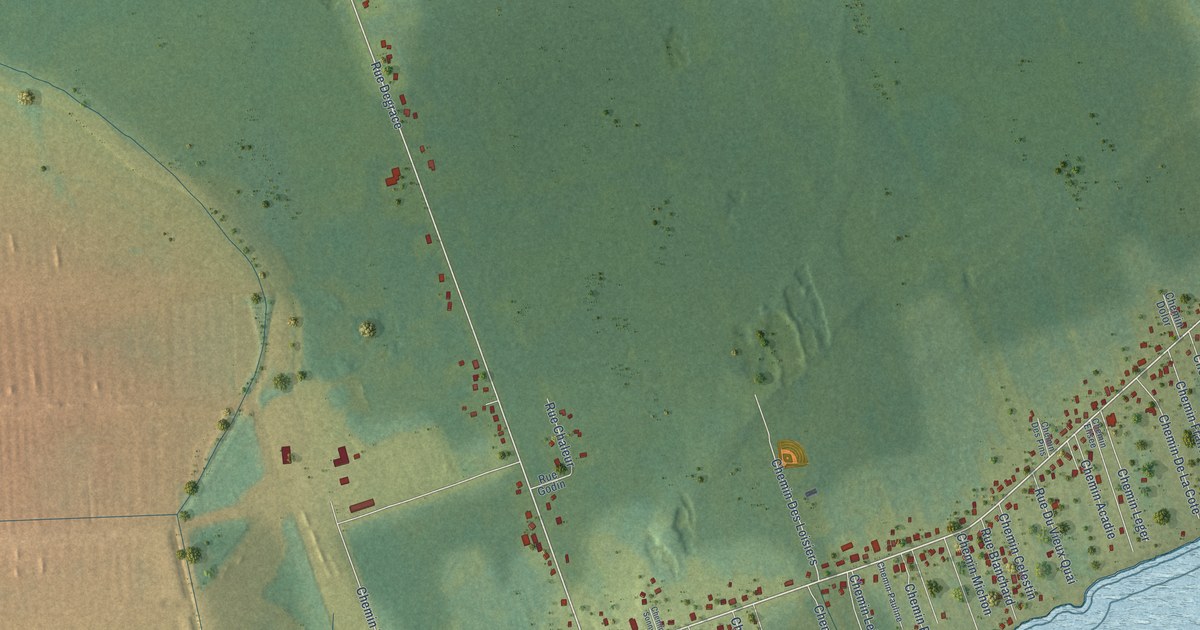
A detailed map of Maisonnette, New Brunswick, showing every building in its true location, the roads by name, and shaded topographical relief.
Read More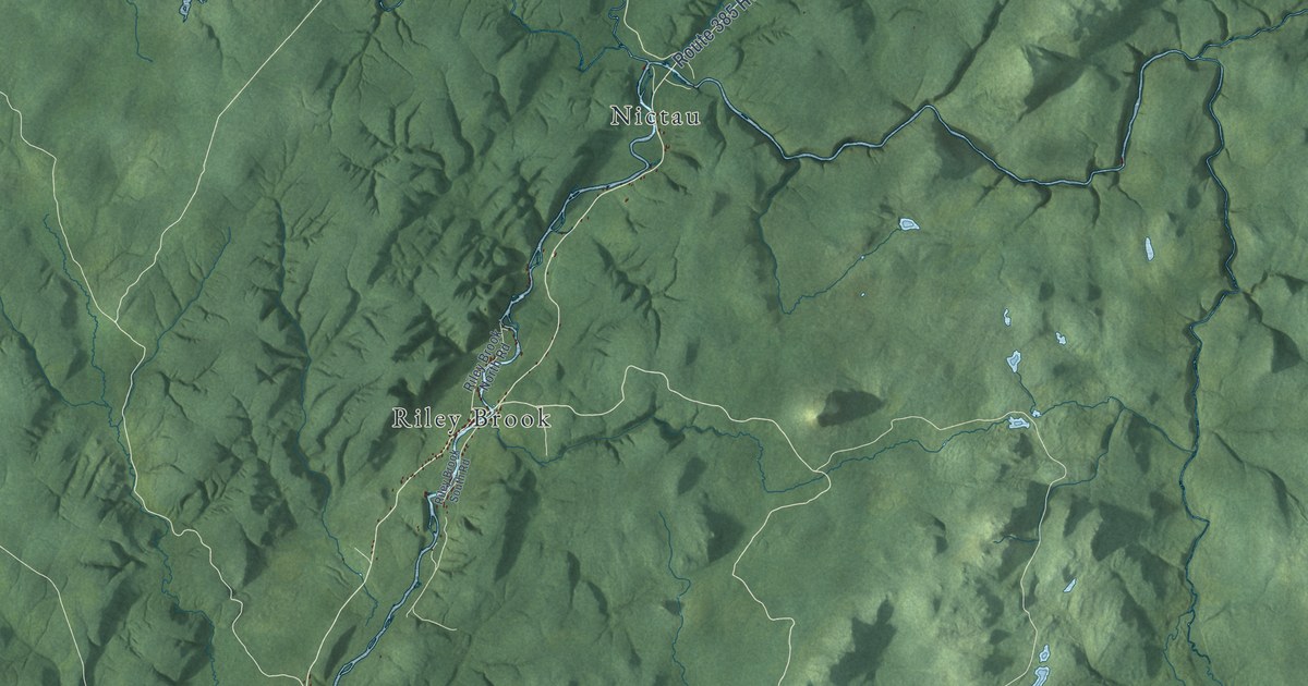
A detailed map of Lorne Parish, New Brunswick, showing every building in its true location, the roads by name, and shaded topographical relief.
Read More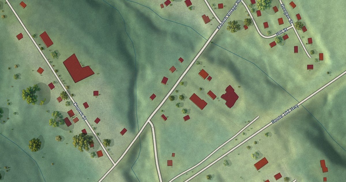
A detailed map of Bilijk, New Brunswick, showing every building in its true location, the roads by name, and shaded topographical relief.
Read More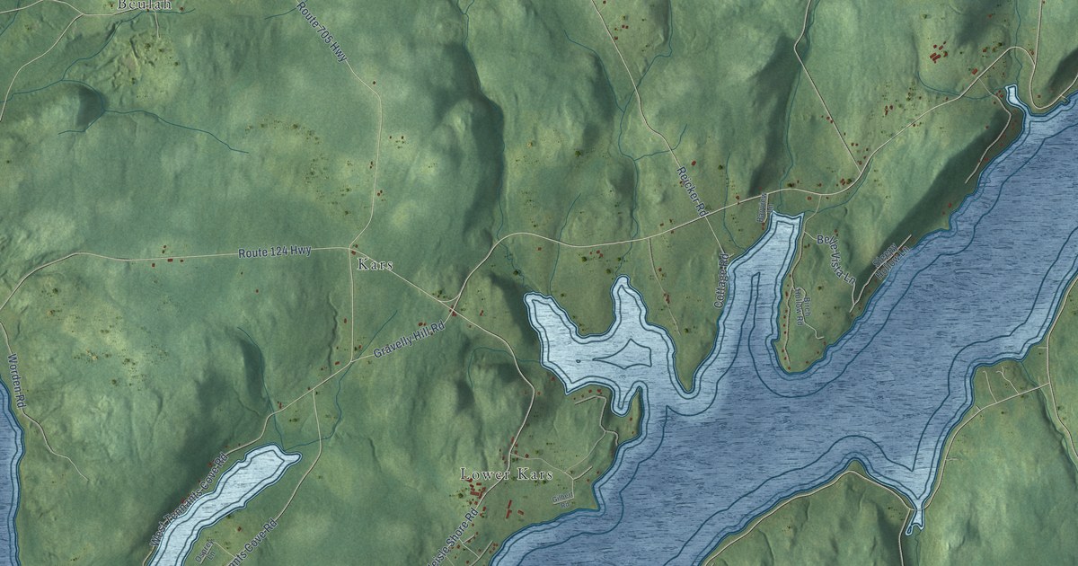
A detailed map of Kars Parish, New Brunswick, showing every building in its true location, the roads by name, and shaded topographical relief.
Read More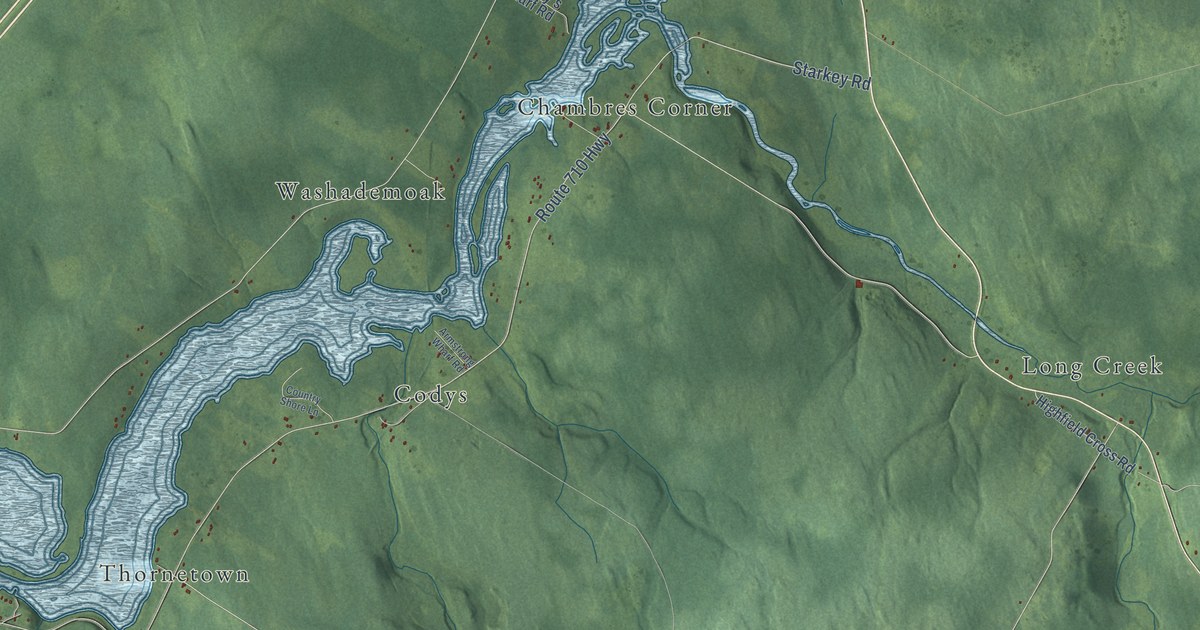
A detailed map of Johnston Parish, New Brunswick, showing every building in its true location, the roads by name, and shaded topographical relief.
Read More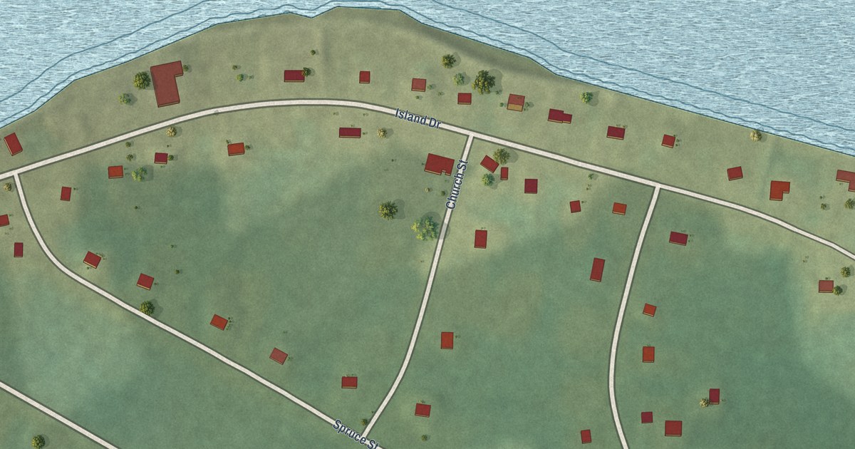
A detailed map of Indian Island, New Brunswick, showing every building in its true location, the roads by name, and shaded topographical relief.
Read More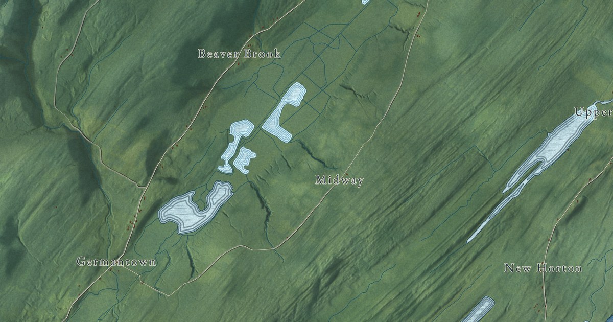
A detailed map of Harvey Parish, New Brunswick, showing every building in its true location, the roads by name, and shaded topographical relief.
Read More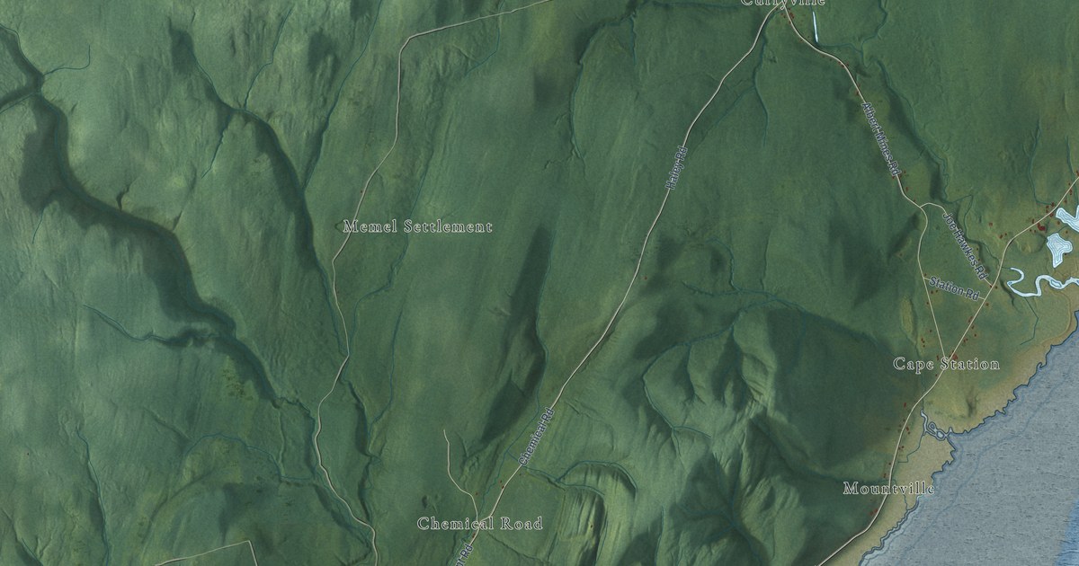
A detailed map of Hopewell Parish, New Brunswick, showing every building in its true location, the roads by name, and shaded topographical relief.
Read More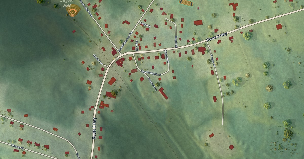
A detailed map of Harvey, New Brunswick, showing every building in its true location, the roads by name, and shaded topographical relief.
Read More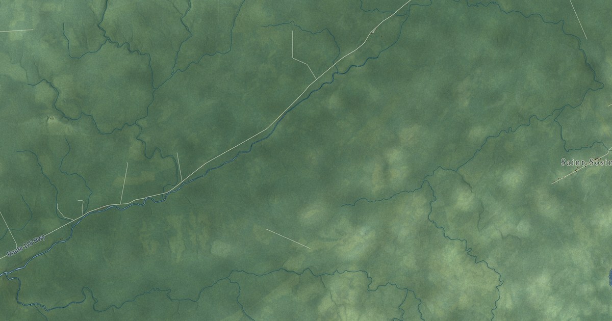
A detailed map of Harcourt Parish, New Brunswick, showing every building in its true location, the roads by name, and shaded topographical relief.
Read More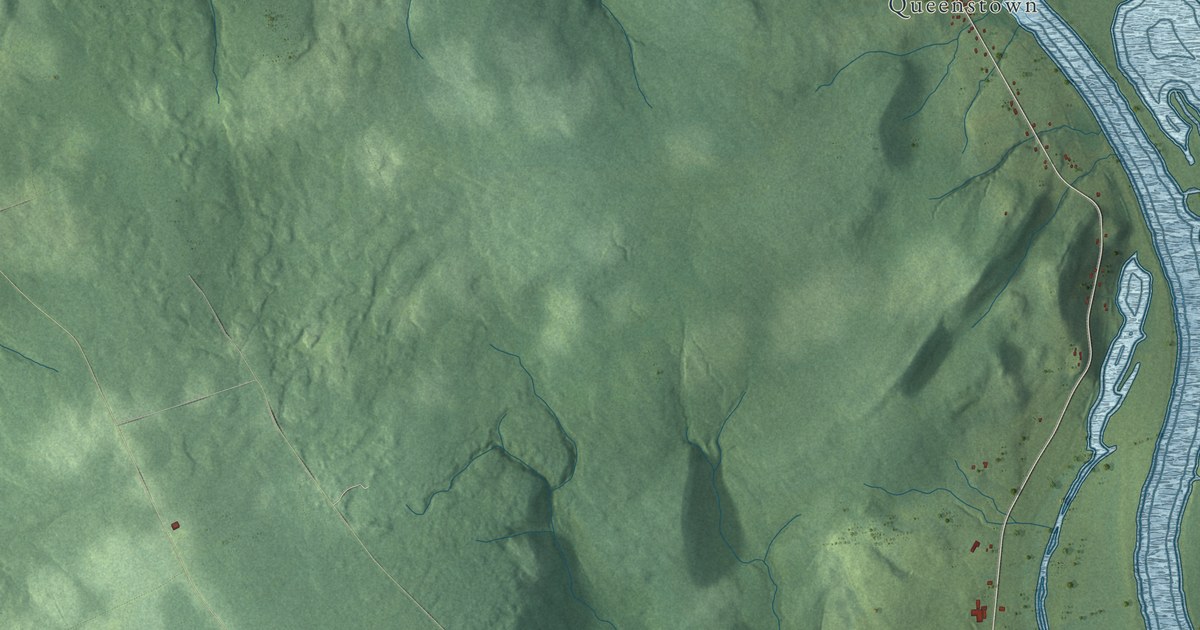
A detailed map of Hampstead Parish, New Brunswick, showing every building in its true location, the roads by name, and shaded topographical relief.
Read More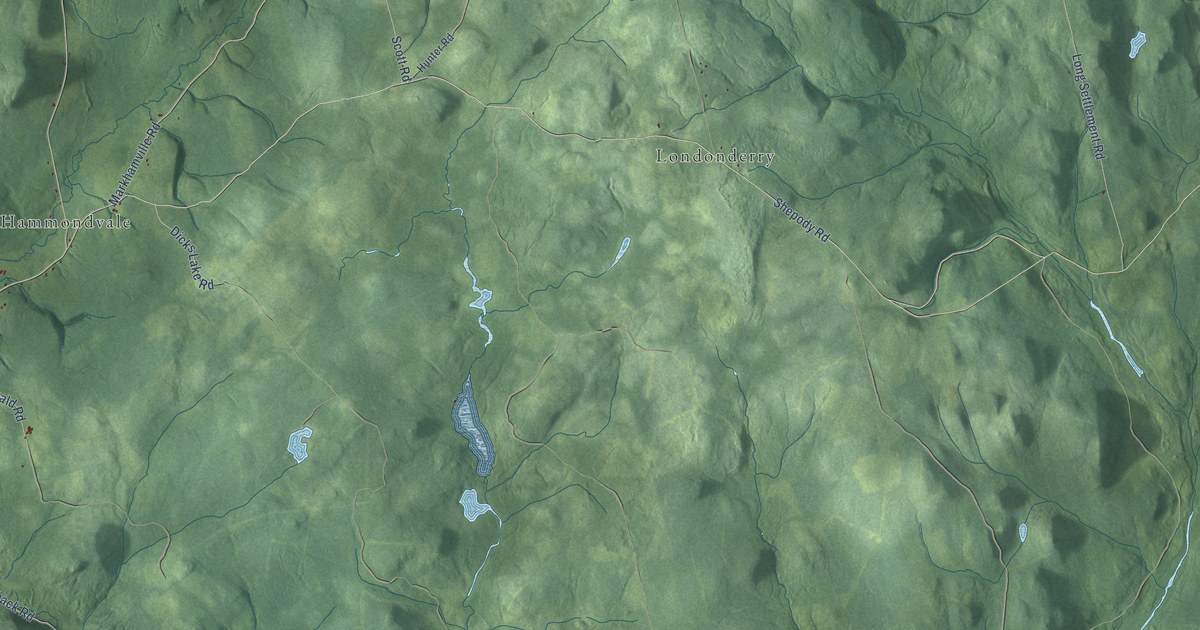
A detailed map of Hammond Parish, New Brunswick, showing every building in its true location, the roads by name, and shaded topographical relief.
Read More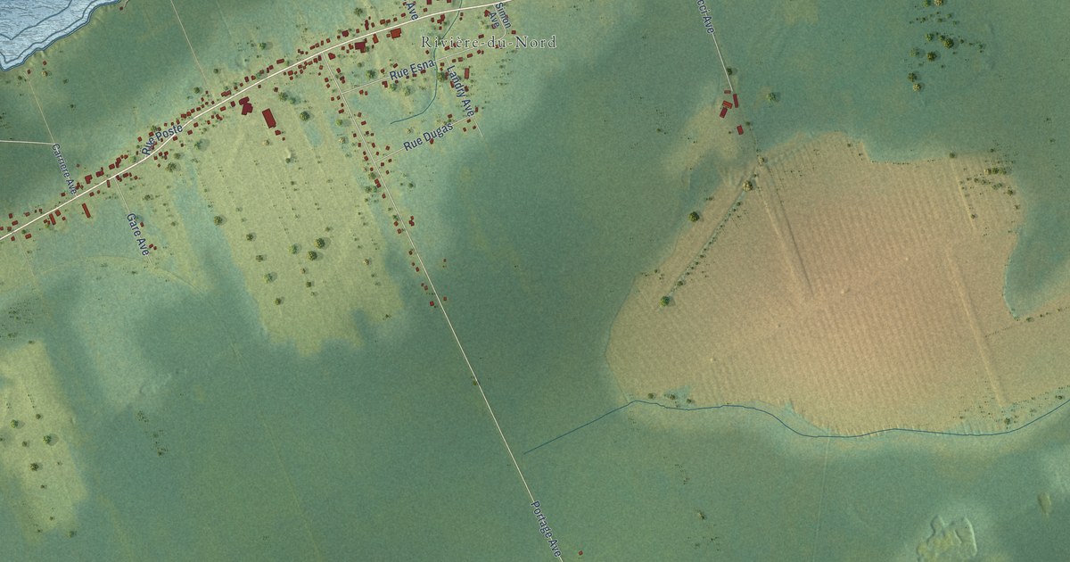
A detailed map of Grande-Anse, New Brunswick, showing every building in its true location, the roads by name, and shaded topographical relief.
Read More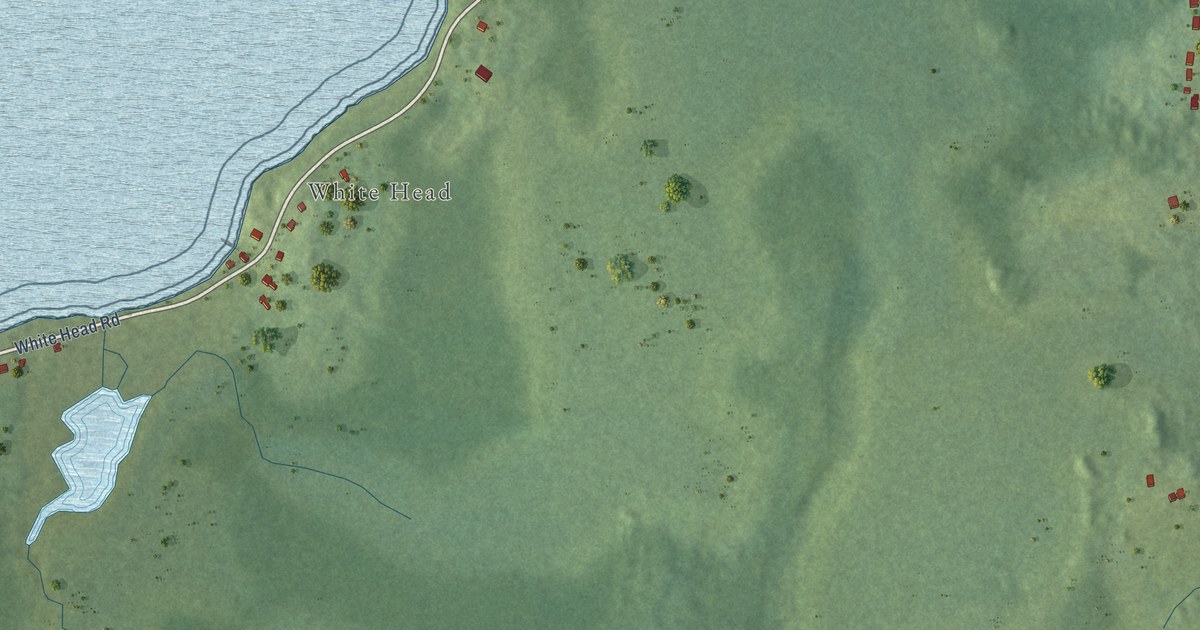
A detailed map of Grand Manan Parish, New Brunswick, showing every building in its true location, the roads by name, and shaded topographical relief.
Read More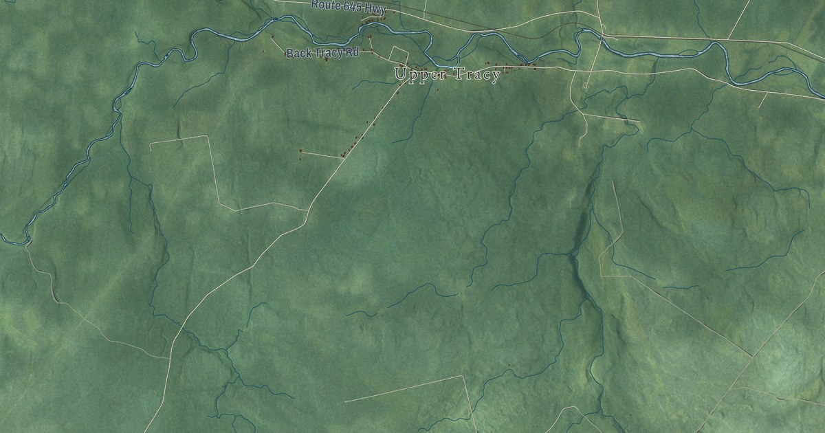
A detailed map of Gladstone Parish, New Brunswick, showing every building in its true location, the roads by name, and shaded topographical relief.
Read More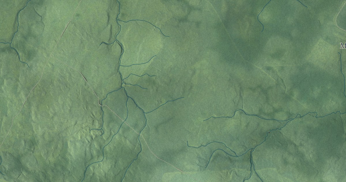
A detailed map of Gagetown Parish, New Brunswick, showing every building in its true location, the roads by name, and shaded topographical relief.
Read More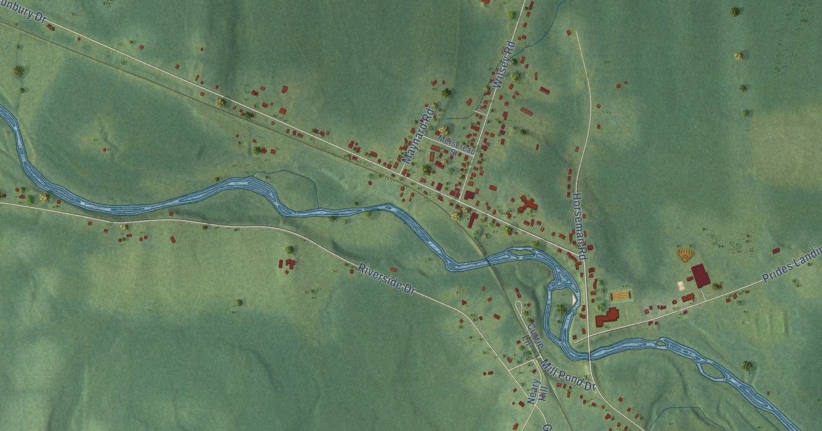
A detailed map of Fredericton Junction, New Brunswick, showing every building in its true location, the roads by name, and shaded topographical relief.
Read More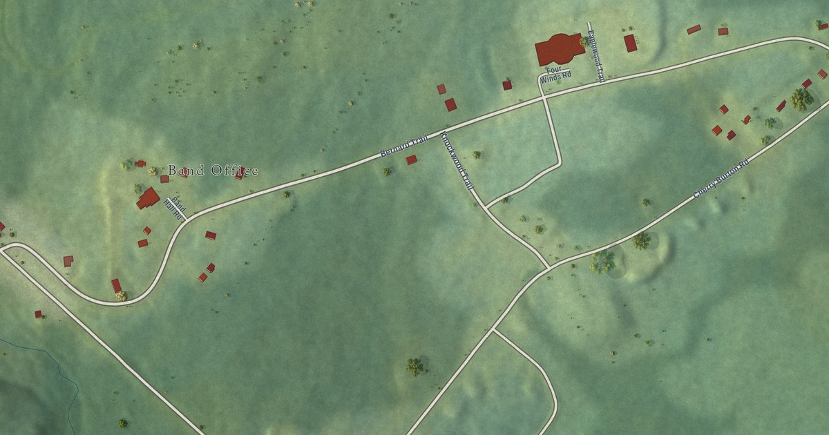
A detailed map of Fort Folly, New Brunswick, showing every building in its true location, the roads by name, and shaded topographical relief.
Read More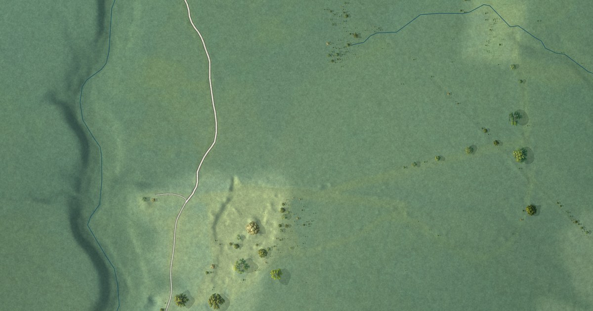
A detailed map of Natoaganeg, New Brunswick, showing every building in its true location, the roads by name, and shaded topographical relief.
Read More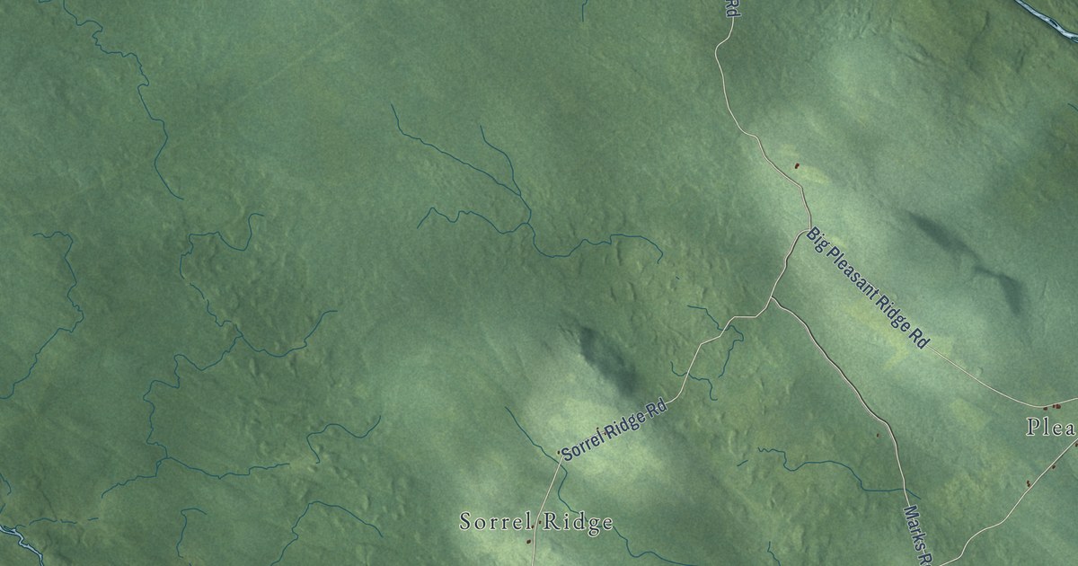
A detailed map of Dumbarton Parish, New Brunswick, showing every building in its true location, the roads by name, and shaded topographical relief.
Read More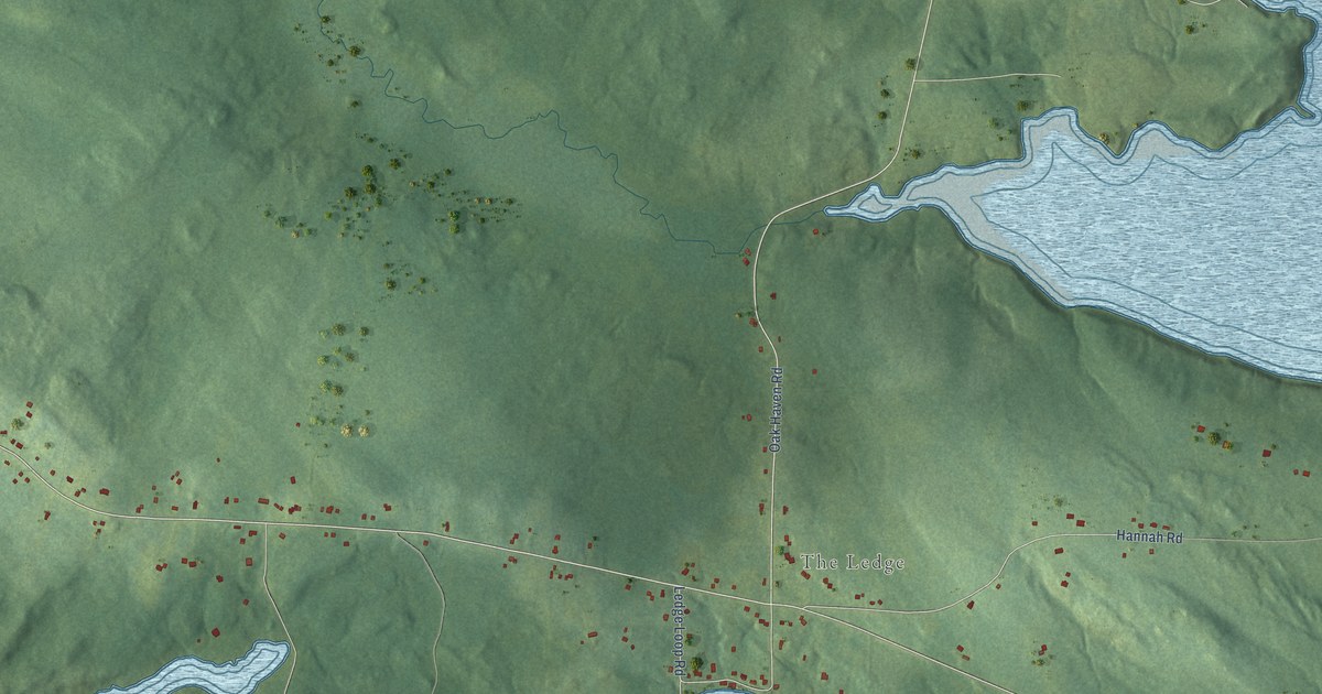
A detailed map of Dufferin Parish, New Brunswick, showing every building in its true location, the roads by name, and shaded topographical relief.
Read More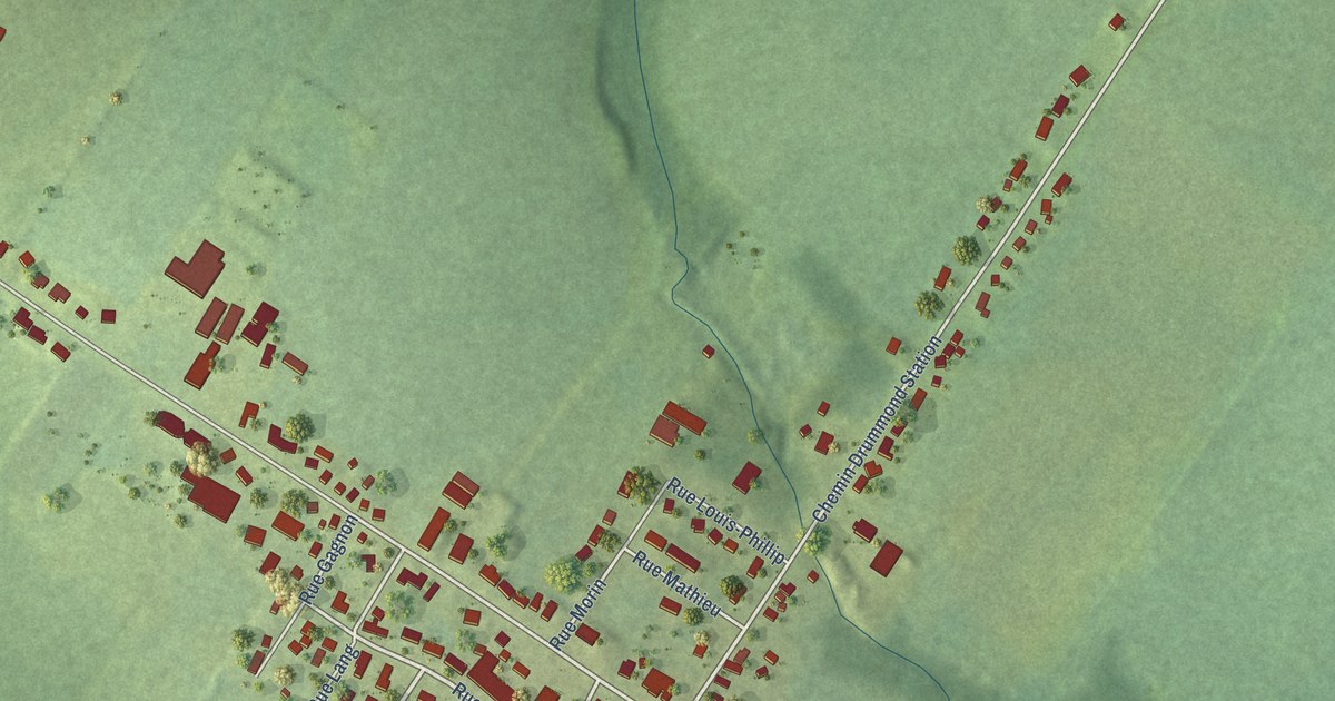
A detailed map of Drummond, New Brunswick, showing every building in its true location, the roads by name, and shaded topographical relief.
Read More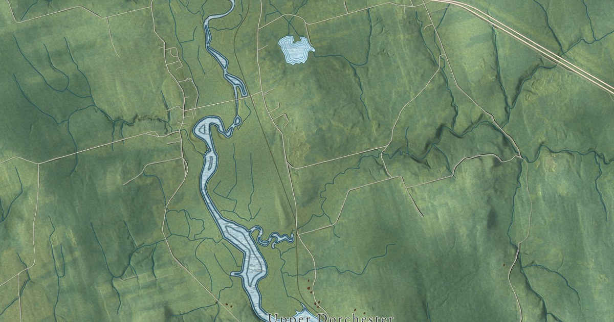
A detailed map of Dorchester Parish, New Brunswick, showing every building in its true location, the roads by name, and shaded topographical relief.
Read More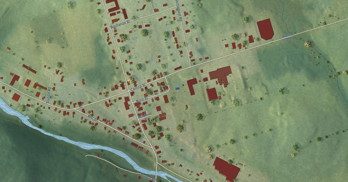
A detailed map of Centreville, New Brunswick, showing every building in its true location, the roads by name, and shaded topographical relief.
Read More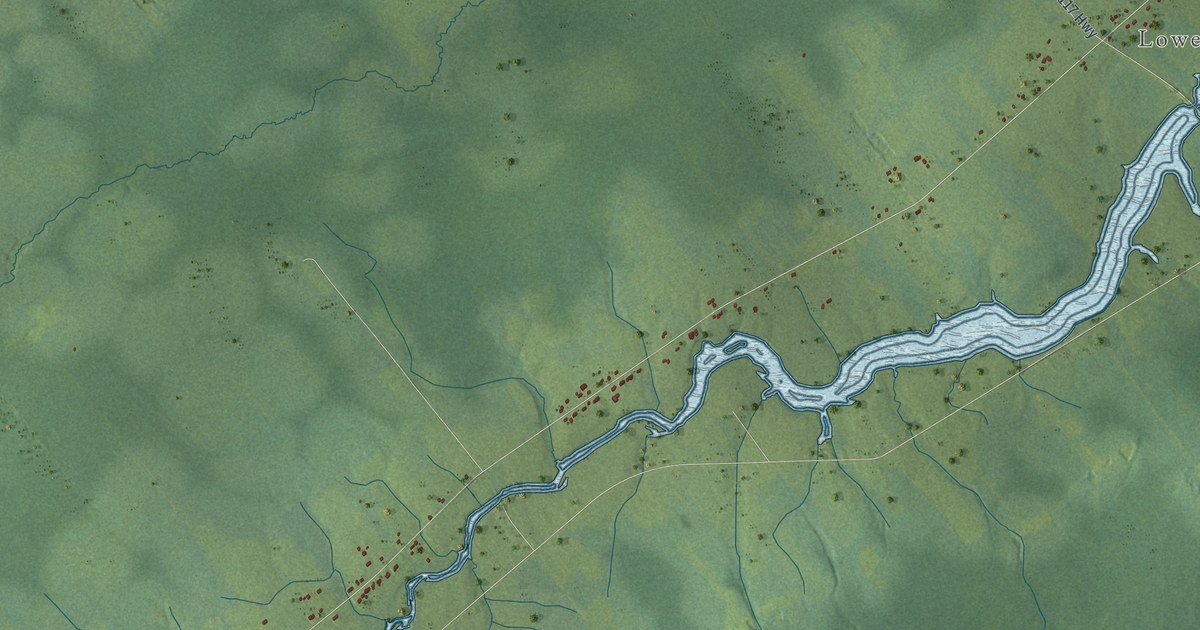
A detailed map of Chatham Parish, New Brunswick, showing every building in its true location, the roads by name, and shaded topographical relief.
Read More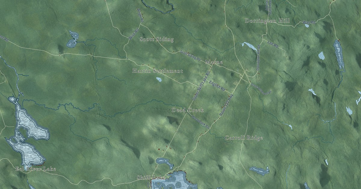
A detailed map of Canterbury Parish, New Brunswick, showing every building in its true location, the roads by name, and shaded topographical relief.
Read More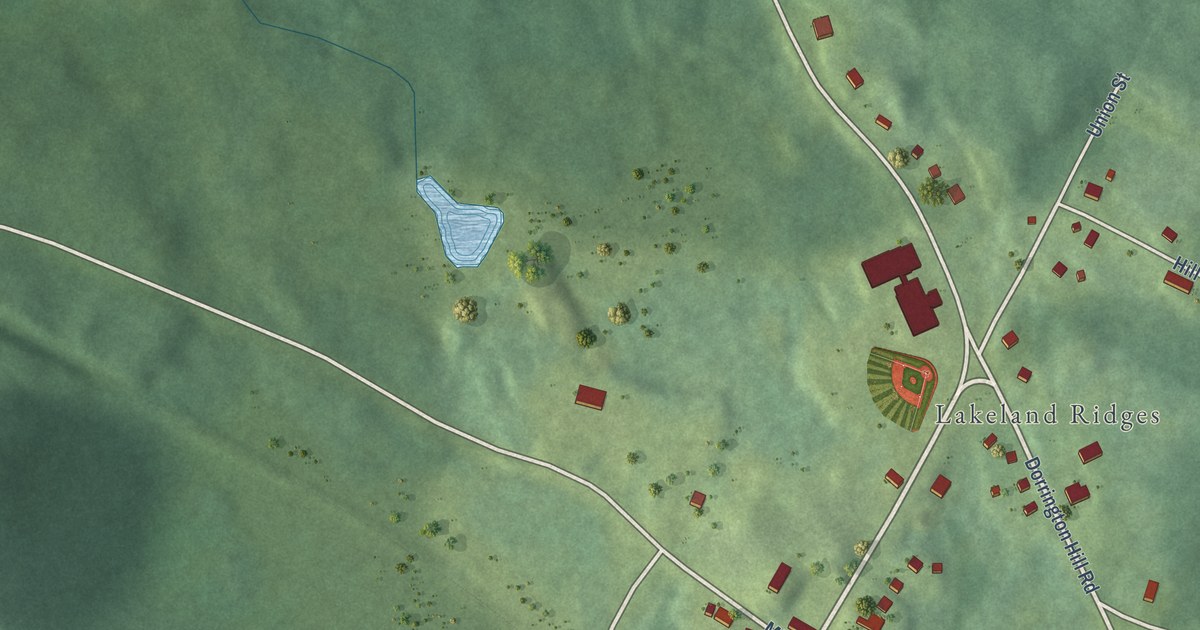
A detailed map of Canterbury, New Brunswick, showing every building in its true location, the roads by name, and shaded topographical relief.
Read More















