Detailed Map of Cambridge Parish, New Brunswick
A detailed map of Cambridge Parish, New Brunswick, showing every building in its true location, the roads by name, and shaded topographical relief.
Read More
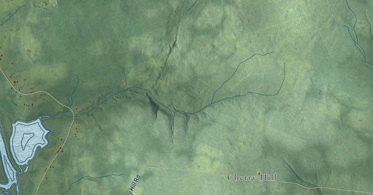
A detailed map of Cambridge Parish, New Brunswick, showing every building in its true location, the roads by name, and shaded topographical relief.
Read More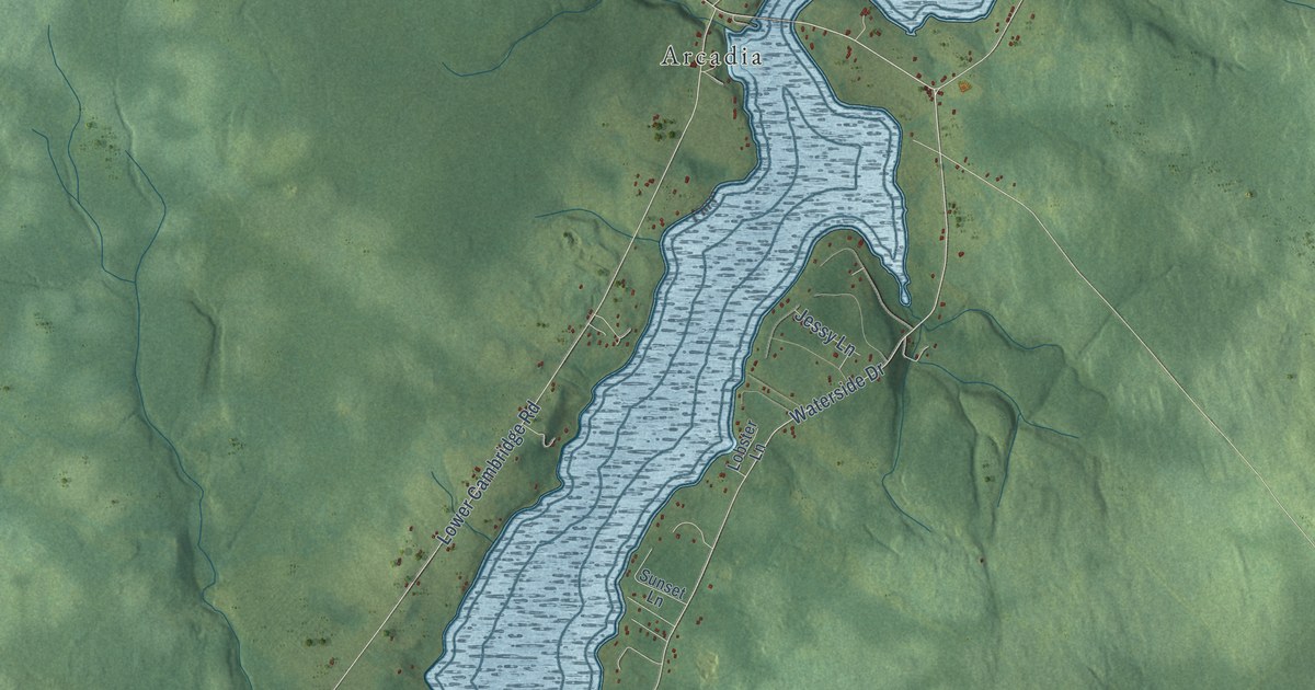
A detailed map of Cambridge-Narrows, New Brunswick, showing every building in its true location, the roads by name, and shaded topographical relief.
Read More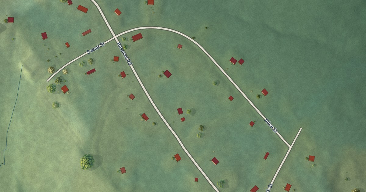
A detailed map of Buctouche First Nation, New Brunswick, showing every building in its true location, the roads by name, and shaded topographical relief.
Read More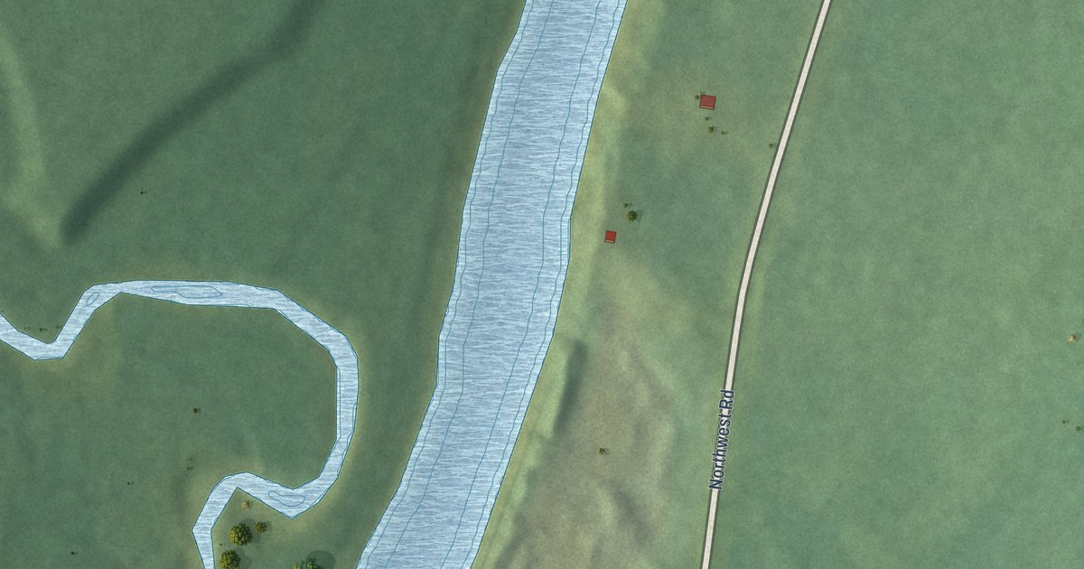
A detailed map of Big Hole Tract (Natoaganeg), New Brunswick, showing every building in its true location, the roads by name, and shaded topographical relief.
Read More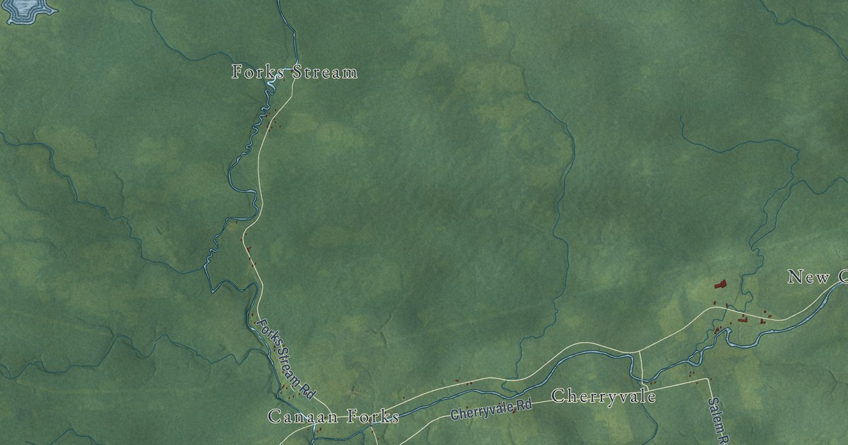
A detailed map of Brunswick Parish, New Brunswick, showing every building in its true location, the roads by name, and shaded topographical relief.
Read More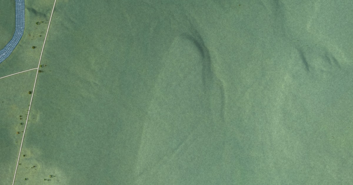
A detailed map of Big Hole Tract (Metepenagiag), New Brunswick, showing every building in its true location, the roads by name, and shaded topographical relief.
Read More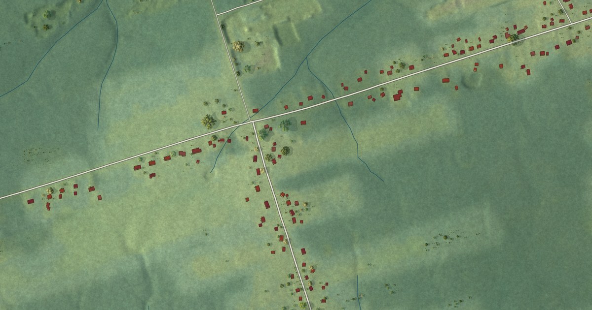
A detailed map of Benoit, New Brunswick, showing every building in its true location, the roads by name, and shaded topographical relief.
Read More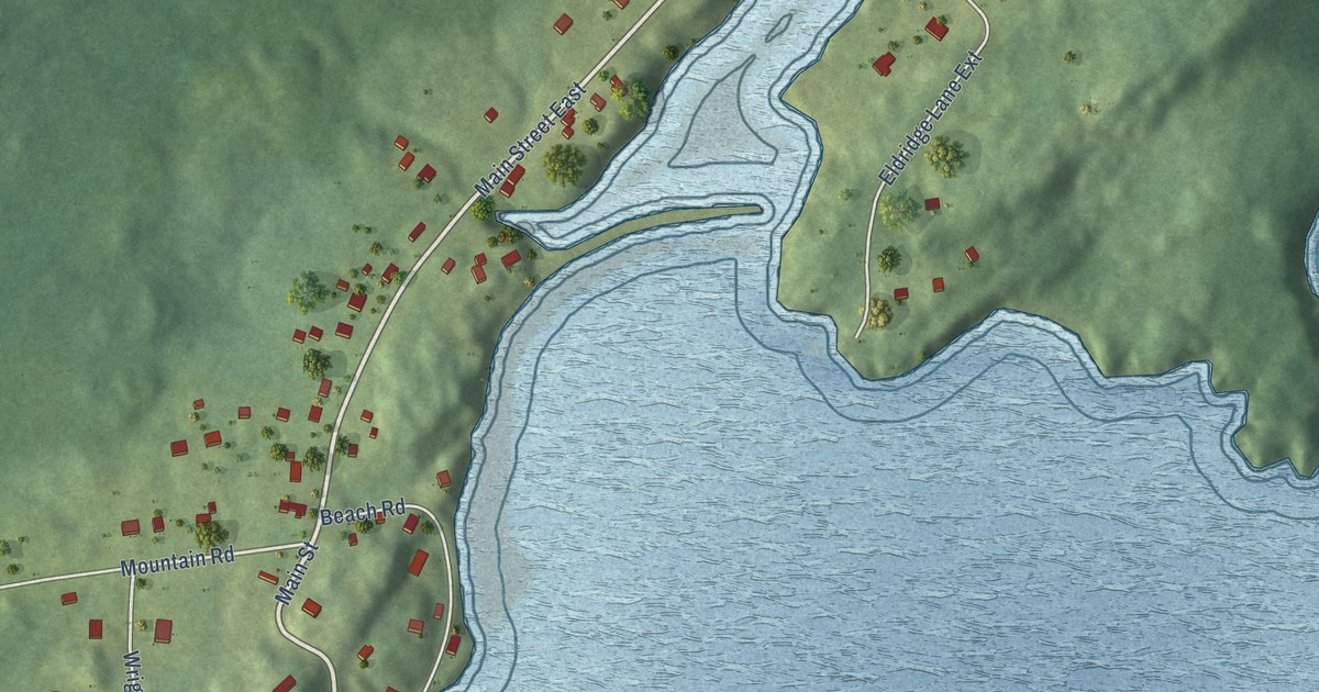
A detailed map of Beaver Harbour, New Brunswick, showing every building in its true location, the roads by name, and shaded topographical relief.
Read More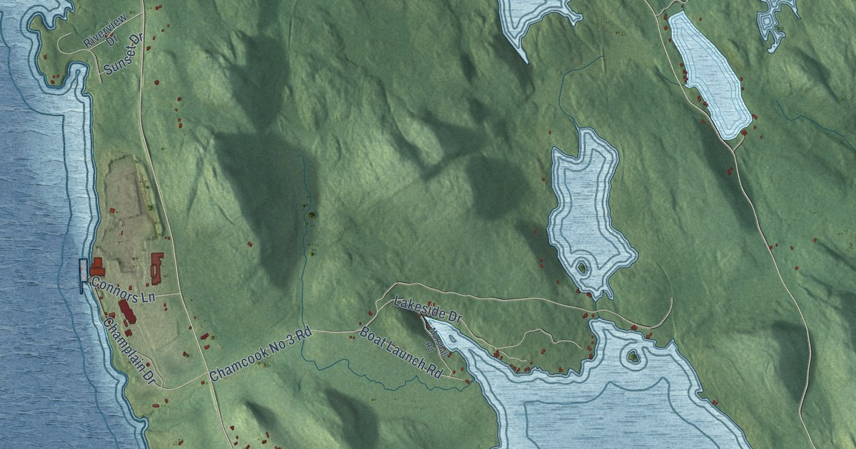
A detailed map of Bayside, New Brunswick, showing every building in its true location, the roads by name, and shaded topographical relief.
Read More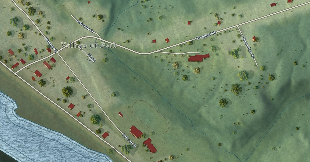
A detailed map of Bath, New Brunswick, showing every building in its true location, the roads by name, and shaded topographical relief.
Read More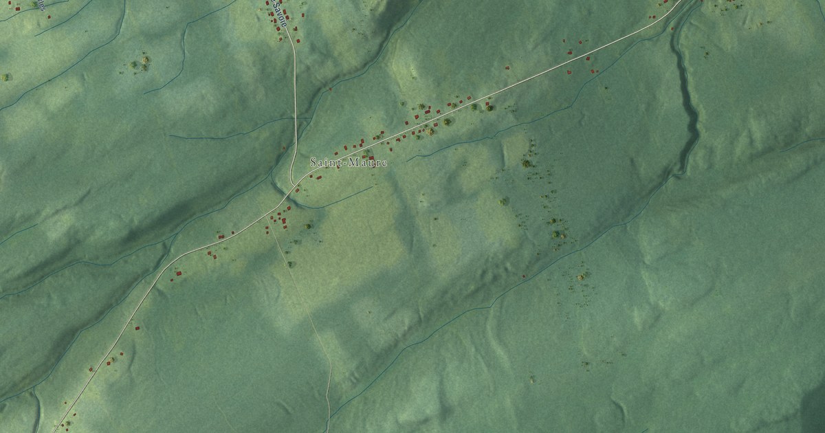
A detailed map of Balmoral – St. Maure, New Brunswick, showing every building in its true location, the roads by name, and shaded topographical relief.
Read More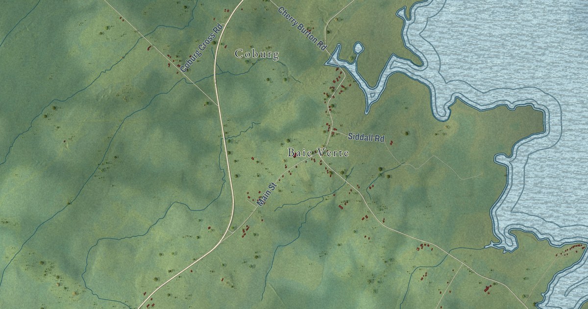
A detailed map of Baie-Verte, New Brunswick, showing every building in its true location, the roads by name, and shaded topographical relief.
Read More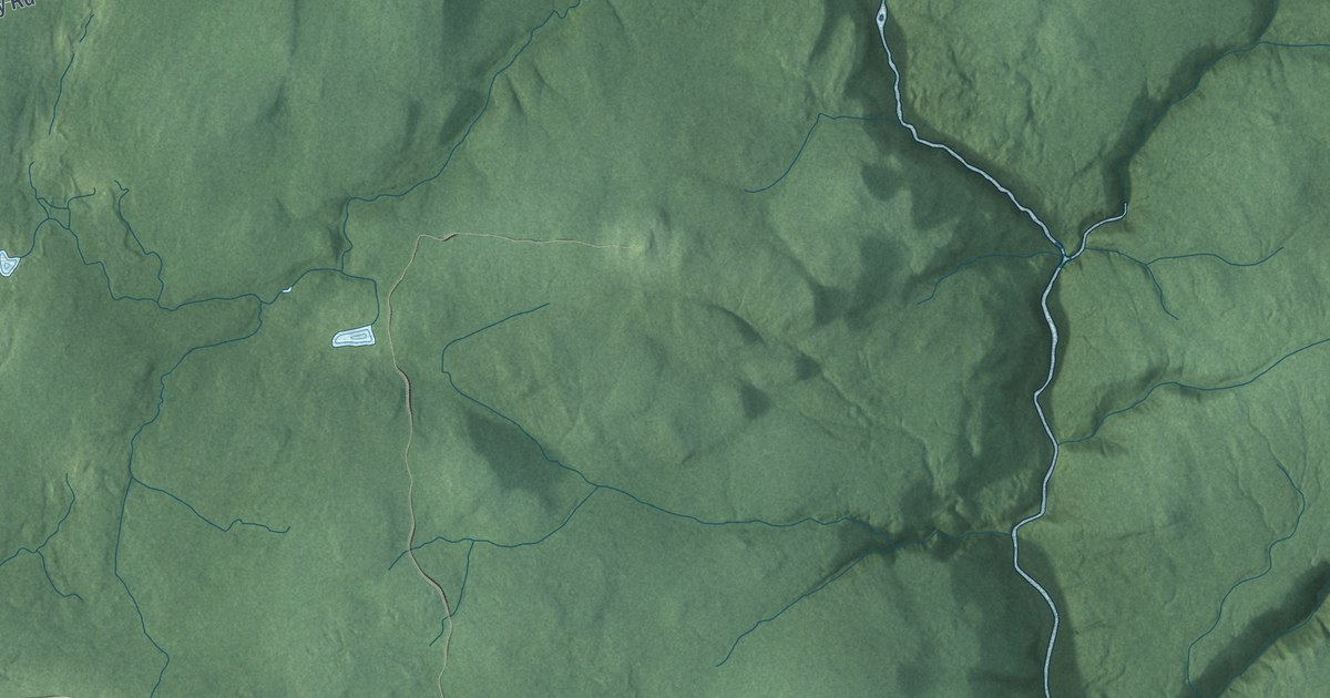
A detailed map of Alma Parish, New Brunswick, showing every building in its true location, the roads by name, and shaded topographical relief.
Read More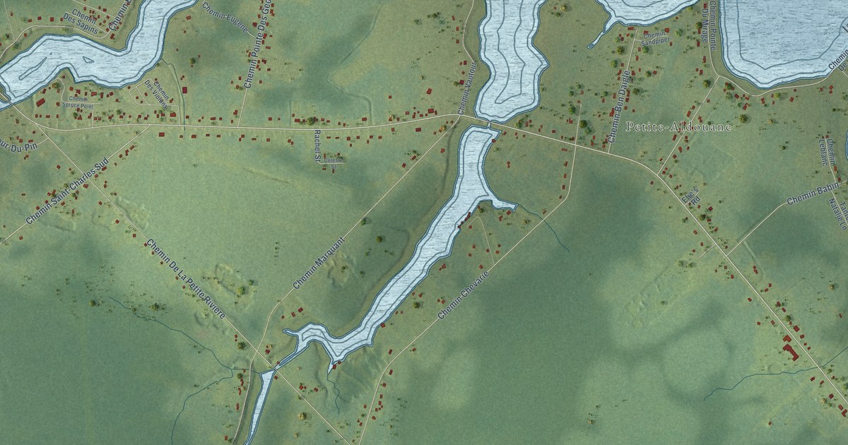
A detailed map of Aldouane, New Brunswick, showing every building in its true location, the roads by name, and shaded topographical relief.
Read More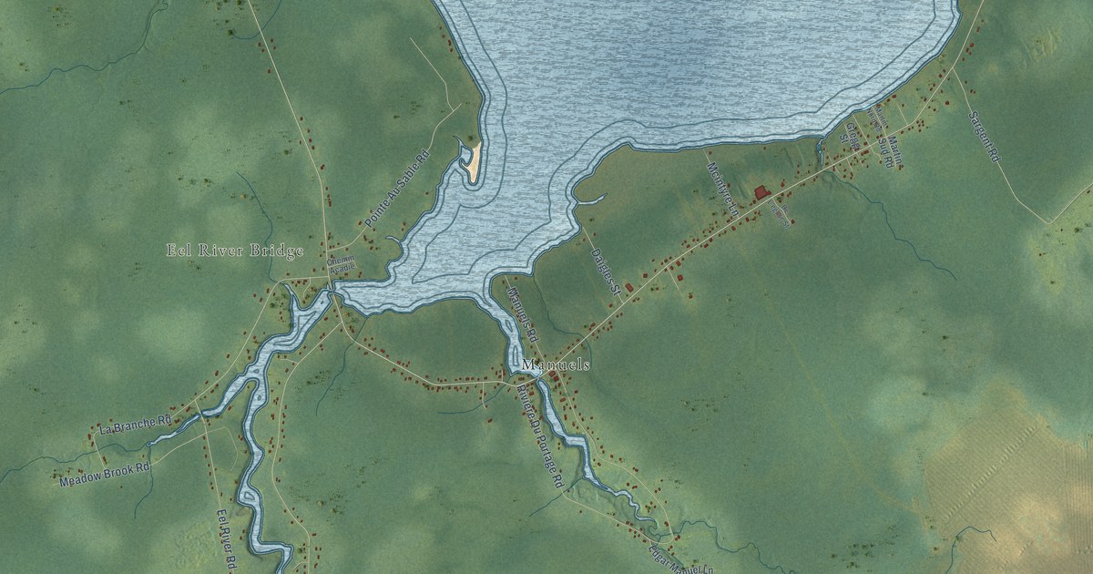
A detailed map of Baie-Sainte-Anne, New Brunswick, showing every building in its true location, the roads by name, and shaded topographical relief.
Read More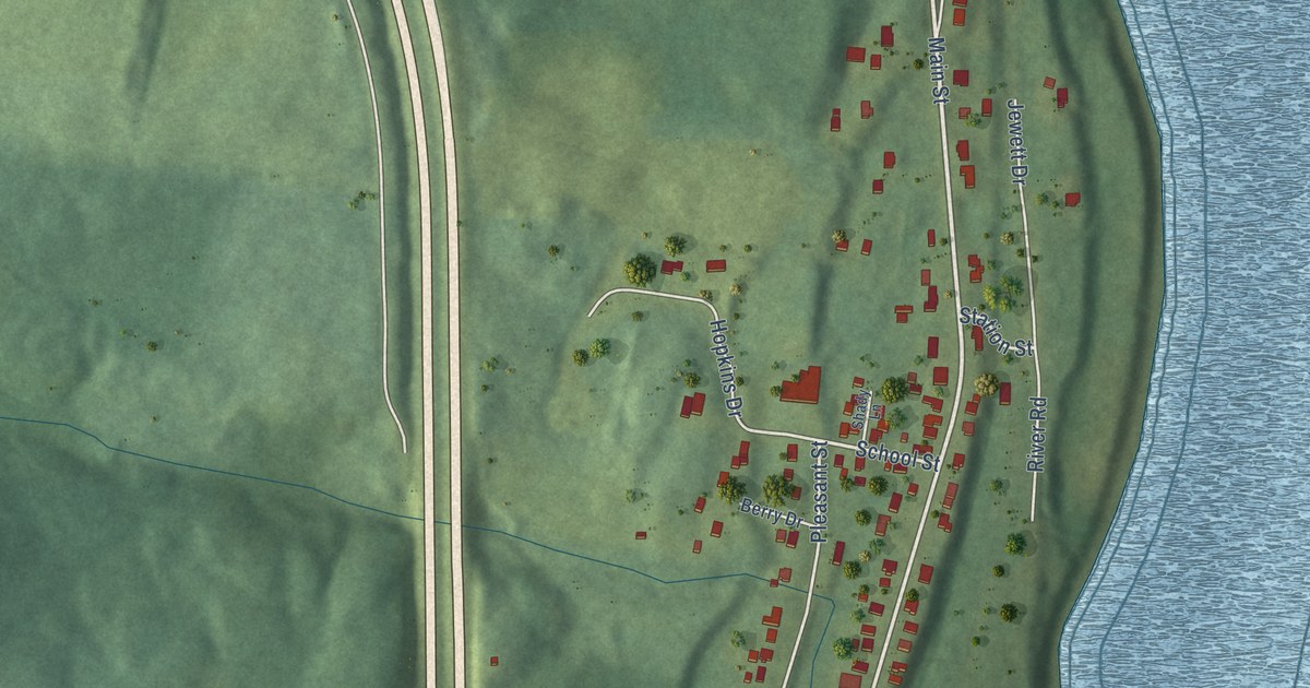
A detailed map of Aroostook, New Brunswick, showing every building in its true location, the roads by name, and shaded topographical relief.
Read More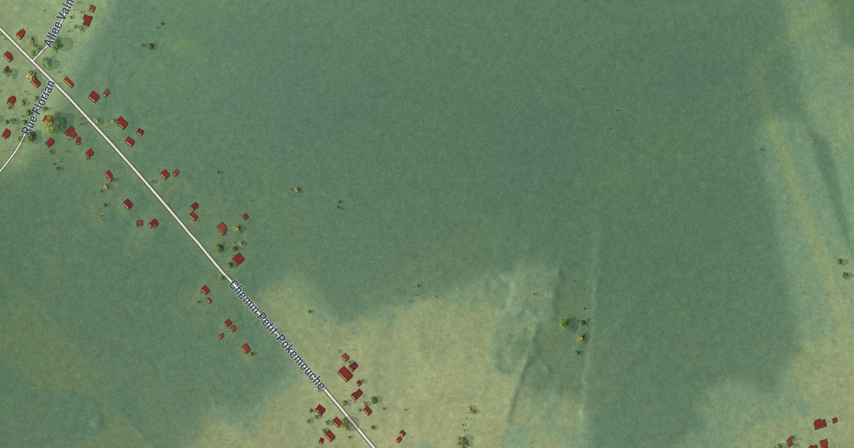
A detailed map of Baie du Petit-Pokemouche, New Brunswick, showing every building in its true location, the roads by name, and shaded topographical relief.
Read More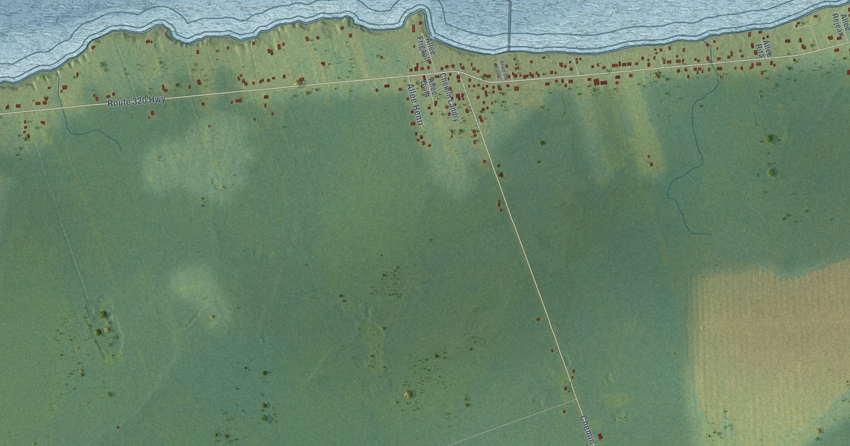
A detailed map of Anse-Bleue, New Brunswick, showing every building in its true location, the roads by name, and shaded topographical relief.
Read More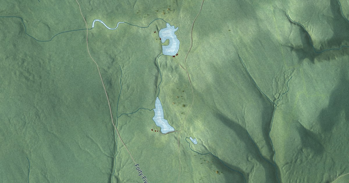
A detailed map of Alma, New Brunswick, showing every building in its true location, the roads by name, and shaded topographical relief.
Read More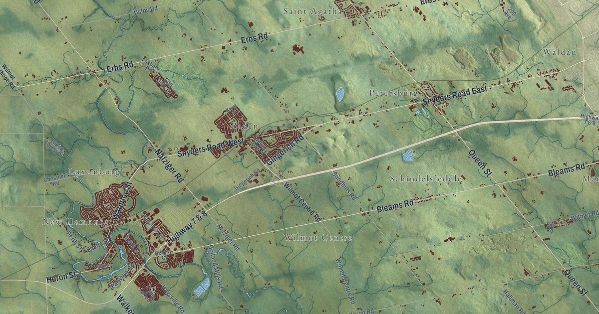
A detailed map of Wilmot, Ontario, showing every building in its true location, the roads by name, and shaded topographical relief.
Read More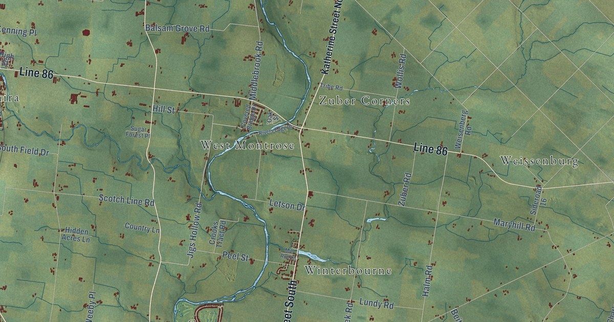
A detailed map of Woolwich, Ontario, showing every building in its true location, the roads by name, and shaded topographical relief.
Read More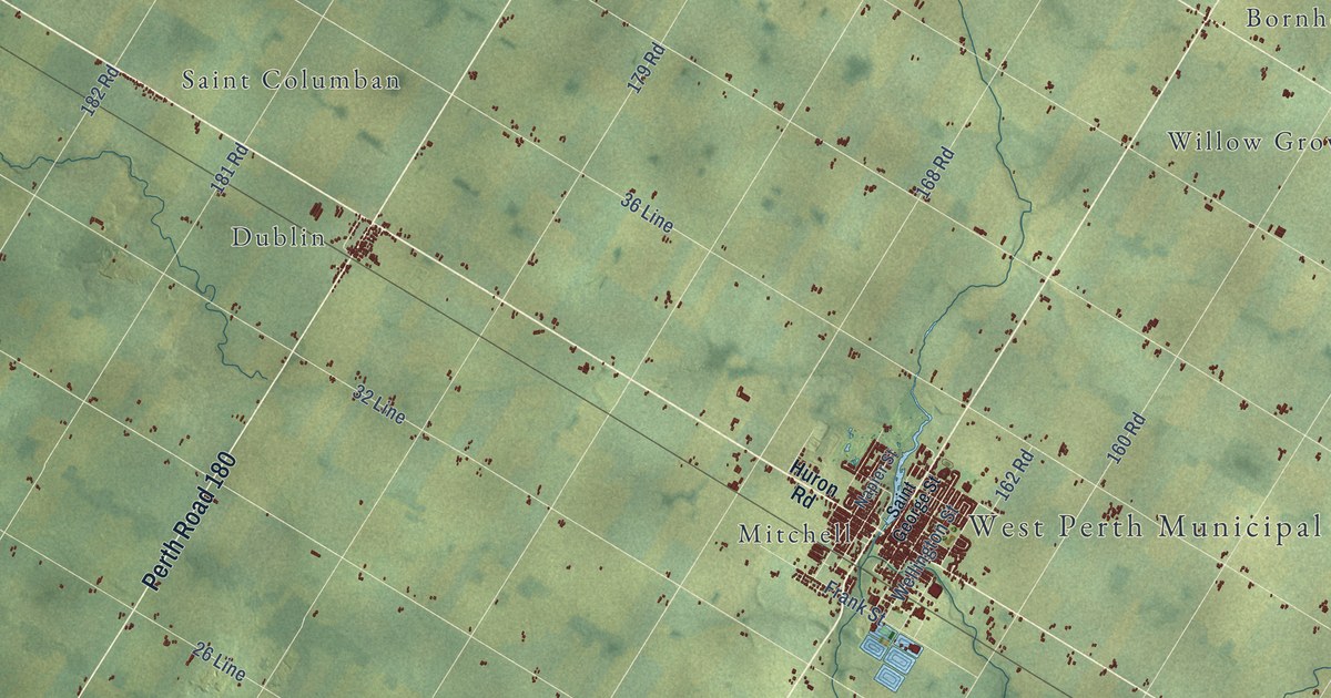
A detailed map of West Perth, Ontario, showing every building in its true location, the roads by name, and shaded topographical relief.
Read More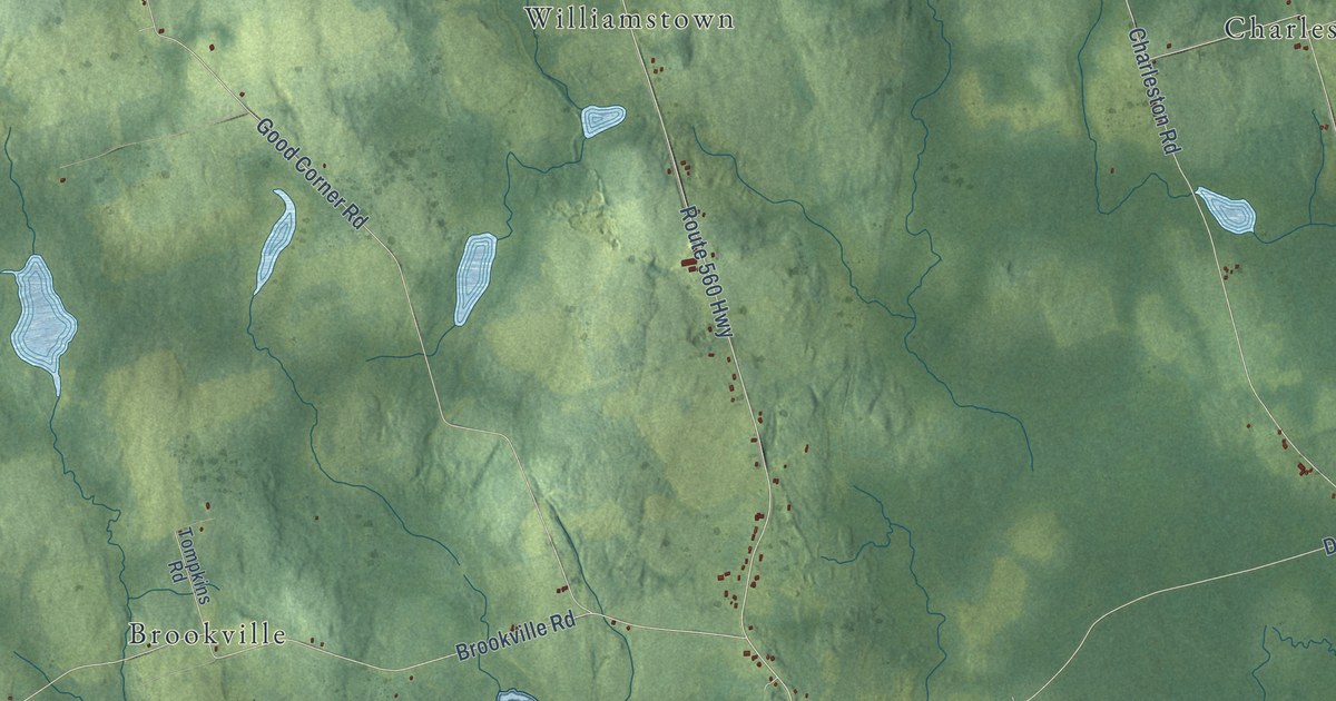
A detailed map of Wilmot Parish, New Brunswick, showing every building in its true location, the roads by name, and shaded topographical relief.
Read More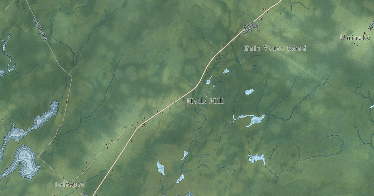
A detailed map of Westmorland Parish, New Brunswick, showing every building in its true location, the roads by name, and shaded topographical relief.
Read More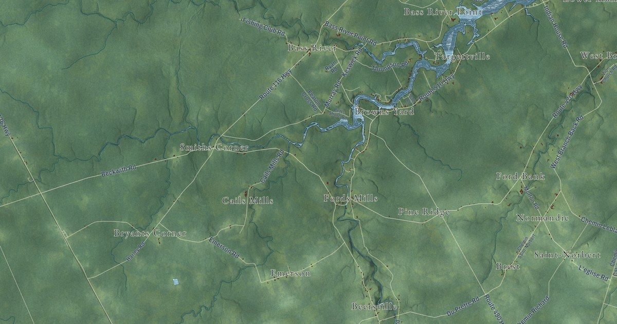
A detailed map of Weldford Parish, New Brunswick, showing every building in its true location, the roads by name, and shaded topographical relief.
Read More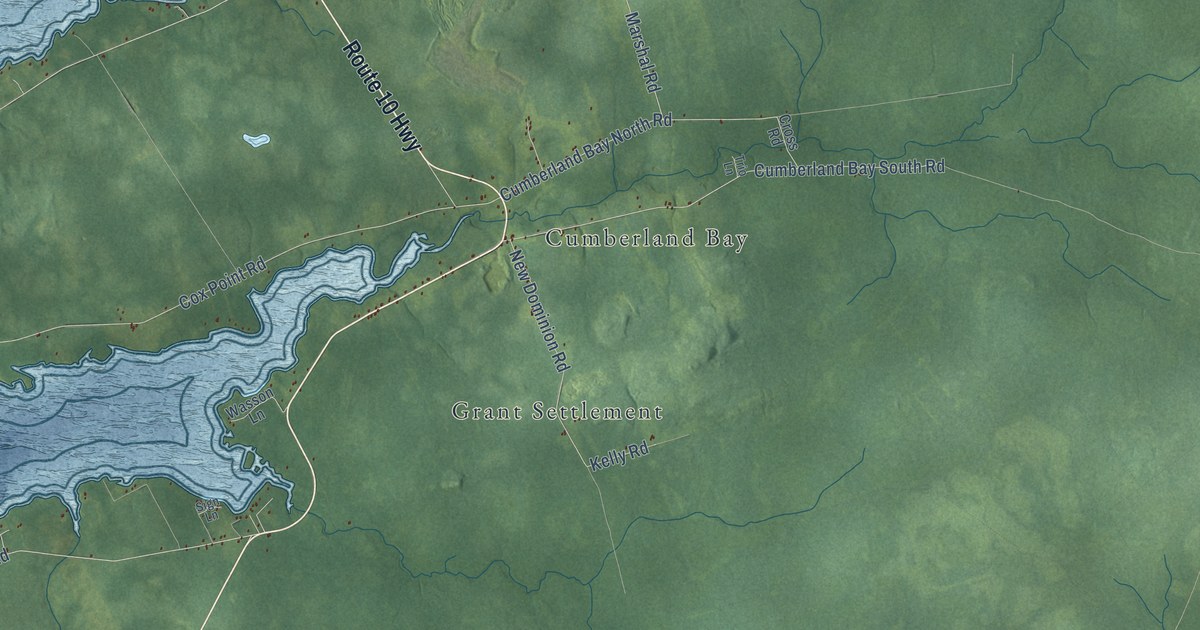
A detailed map of Waterborough Parish, New Brunswick, showing every building in its true location, the roads by name, and shaded topographical relief.
Read More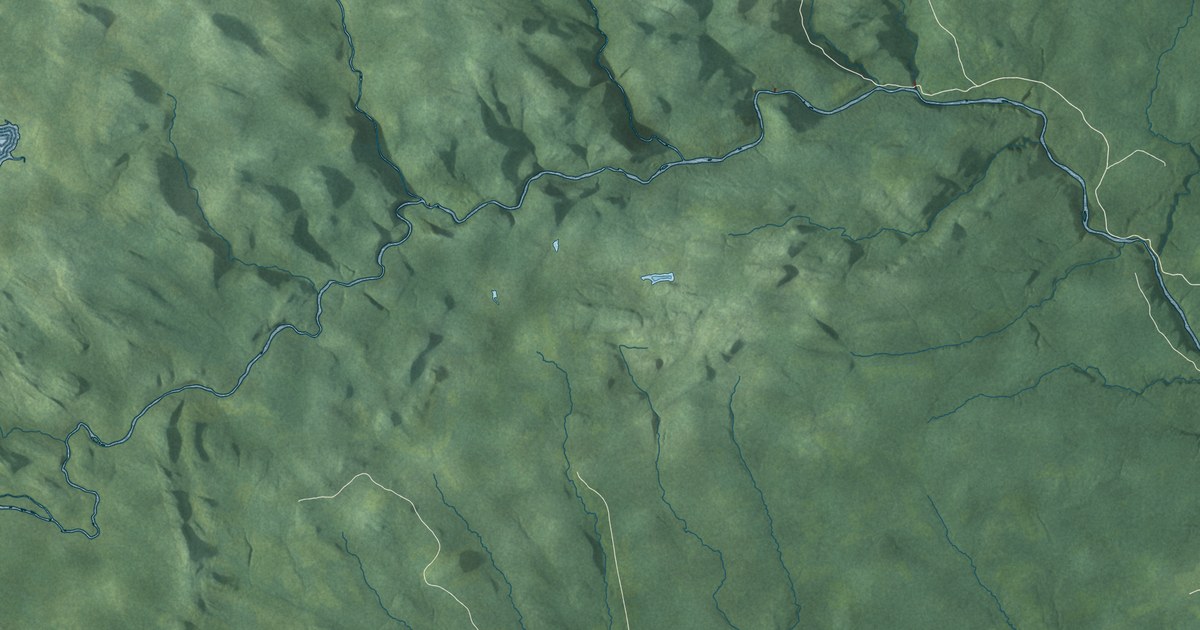
A detailed map of Stanley Parish, New Brunswick, showing every building in its true location, the roads by name, and shaded topographical relief.
Read More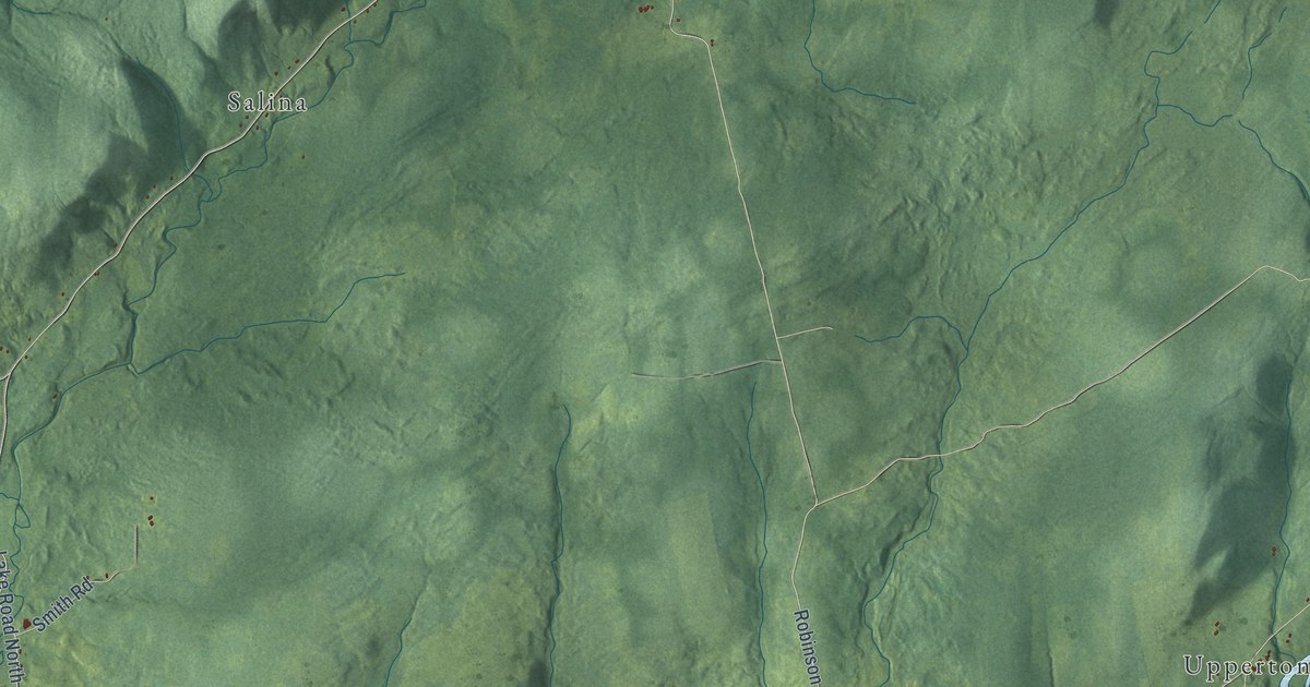
A detailed map of Upham Parish, New Brunswick, showing every building in its true location, the roads by name, and shaded topographical relief.
Read More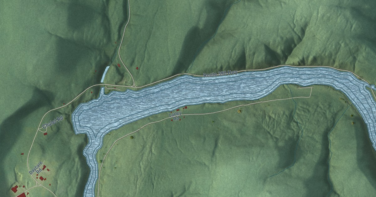
A detailed map of Tobique, New Brunswick, showing every building in its true location, the roads by name, and shaded topographical relief.
Read More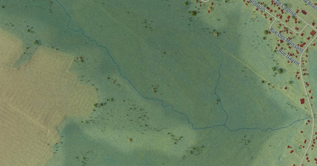
A detailed map of Sainte-Marie-Saint-Raphaël, New Brunswick, showing every building in its true location, the roads by name, and shaded topographical relief.
Read More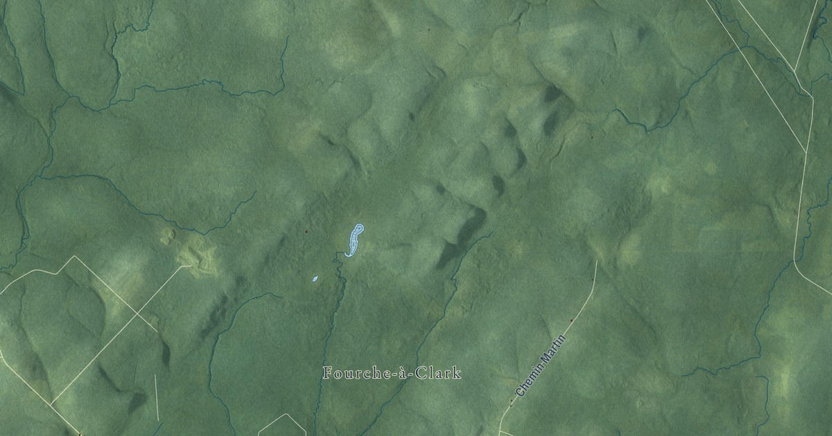
A detailed map of Sainte-Anne Parish, New Brunswick, showing every building in its true location, the roads by name, and shaded topographical relief.
Read More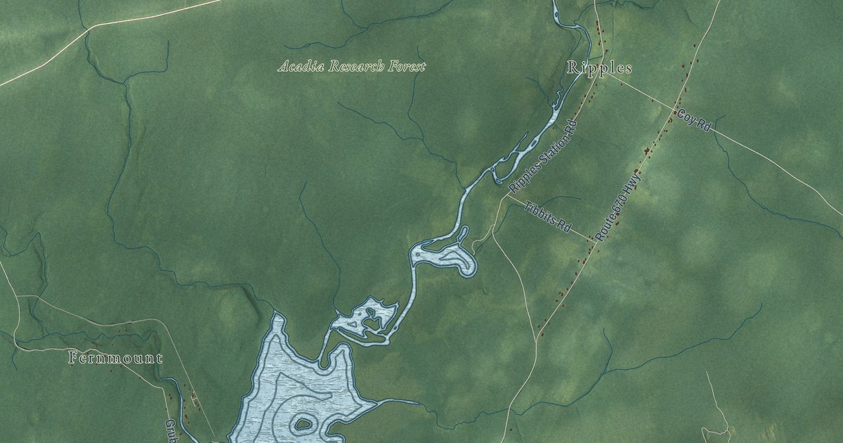
A detailed map of Sheffield Parish, New Brunswick, showing every building in its true location, the roads by name, and shaded topographical relief.
Read More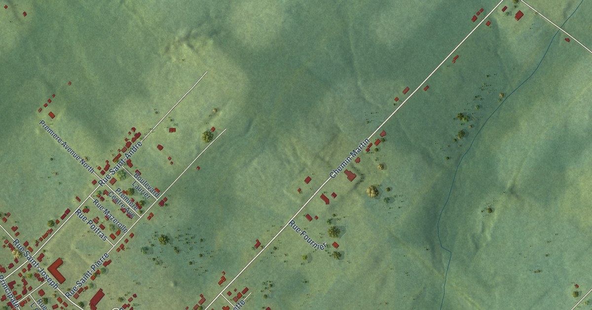
A detailed map of Sainte-Anne-de-Madawaska, New Brunswick, showing every building in its true location, the roads by name, and shaded topographical relief.
Read More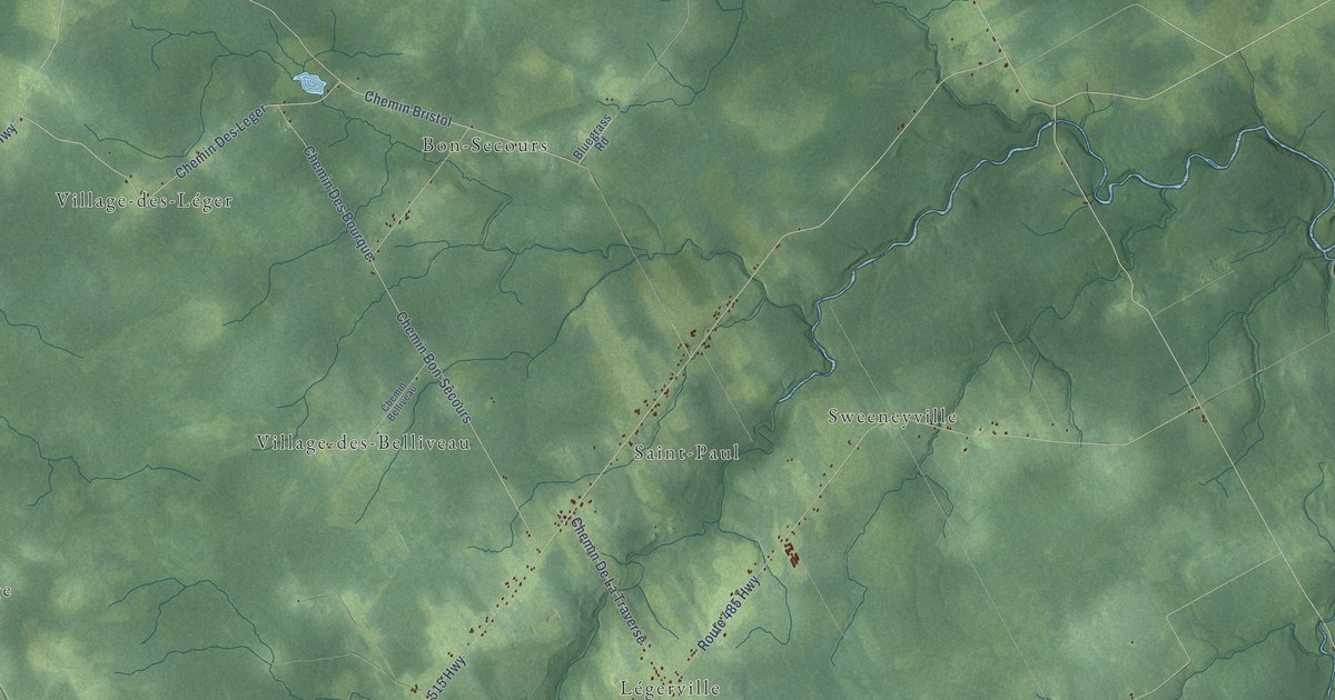
A detailed map of Saint-Paul Parish, New Brunswick, showing every building in its true location, the roads by name, and shaded topographical relief.
Read More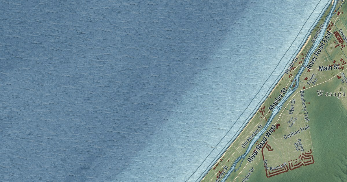
A detailed map of Wasaga Beach, Ontario, showing every building in its true location, the roads by name, and shaded topographical relief.
Read More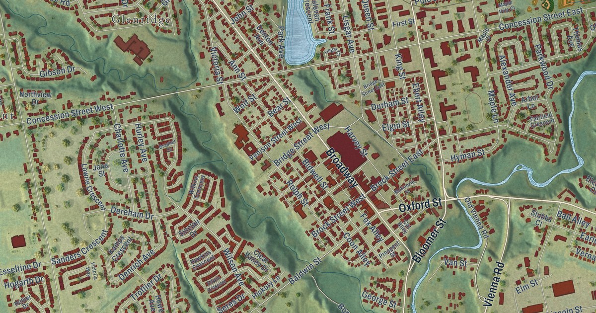
A detailed map of Tillsonburg, Ontario, showing every building in its true location, the roads by name, and shaded topographical relief.
Read More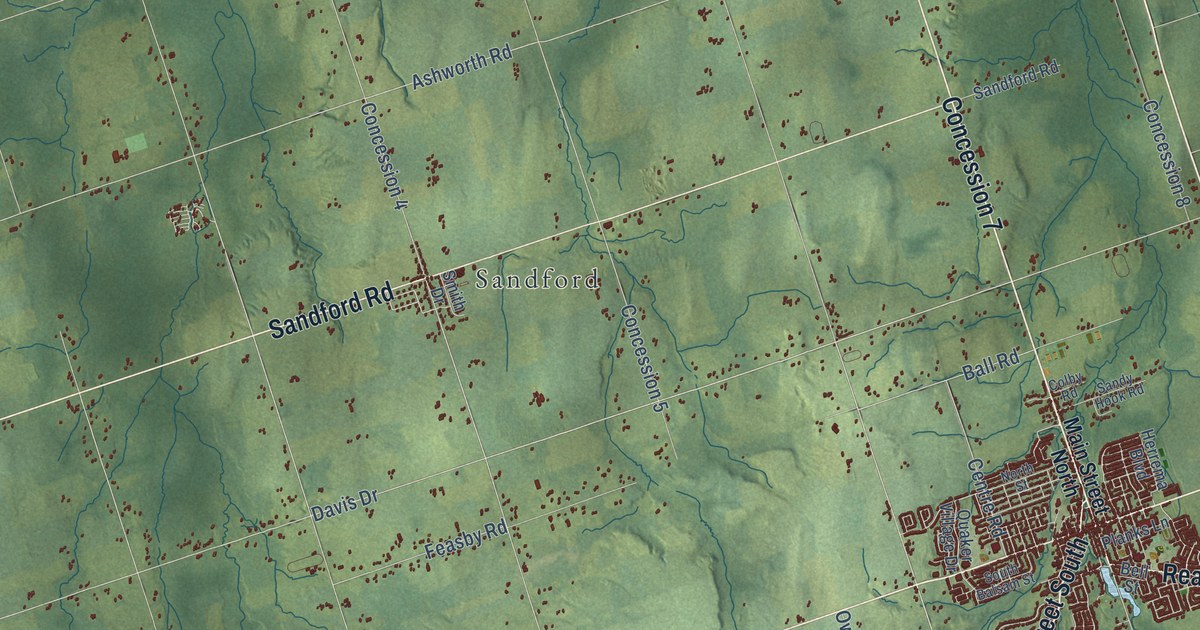
A detailed map of Uxbridge, Ontario, showing every building in its true location, the roads by name, and shaded topographical relief.
Read More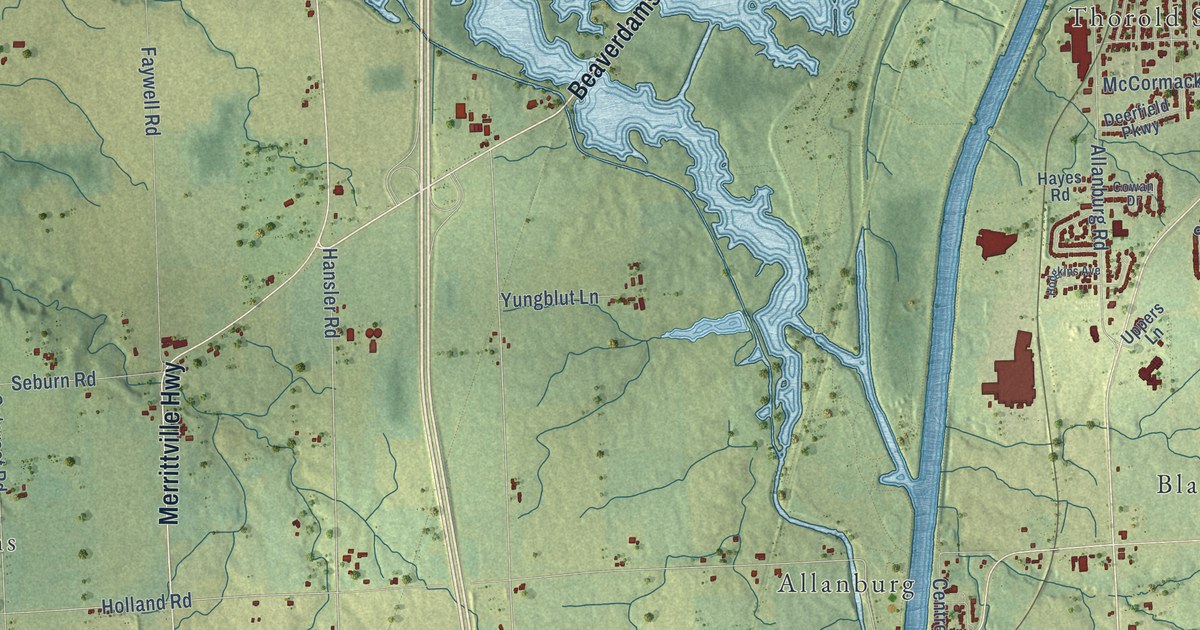
A detailed map of Thorold, Ontario, showing every building in its true location, the roads by name, and shaded topographical relief.
Read More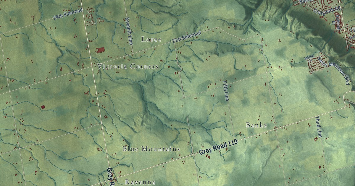
A detailed map of The Blue Mountains, Ontario, showing every building in its true location, the roads by name, and shaded topographical relief.
Read More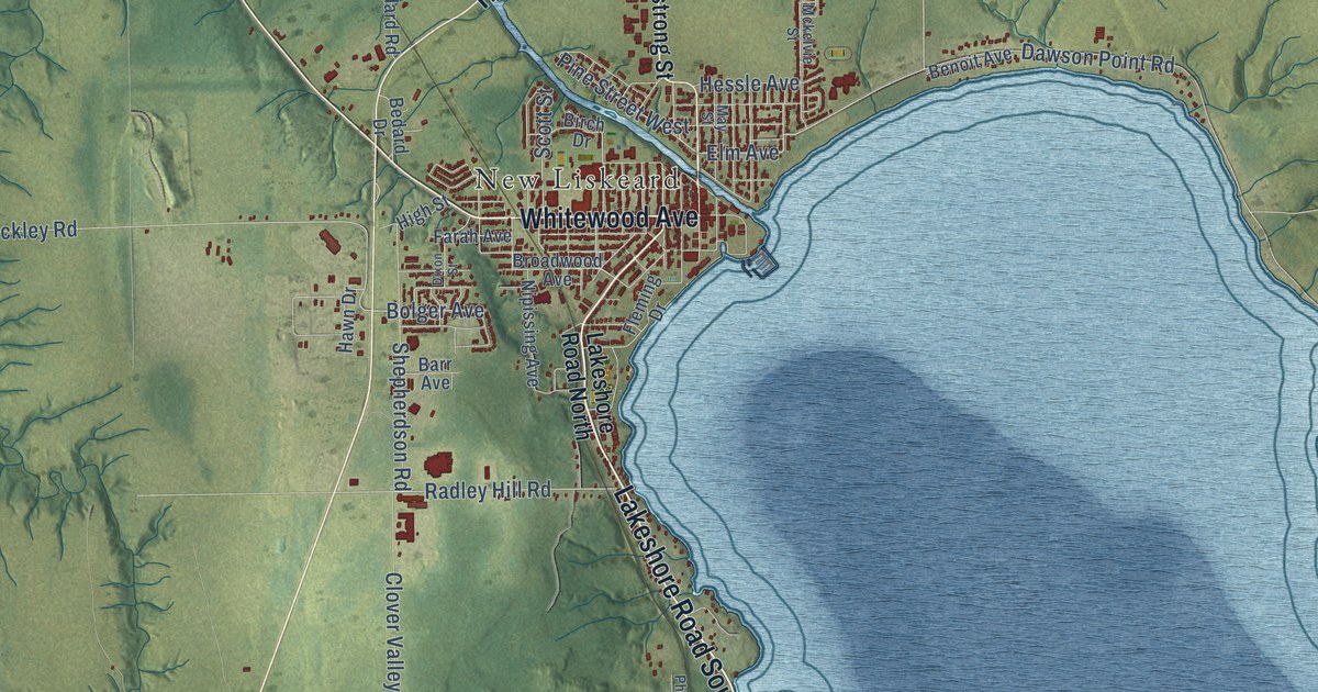
A detailed map of Temiskaming Shores, Ontario, showing every building in its true location, the roads by name, and shaded topographical relief.
Read More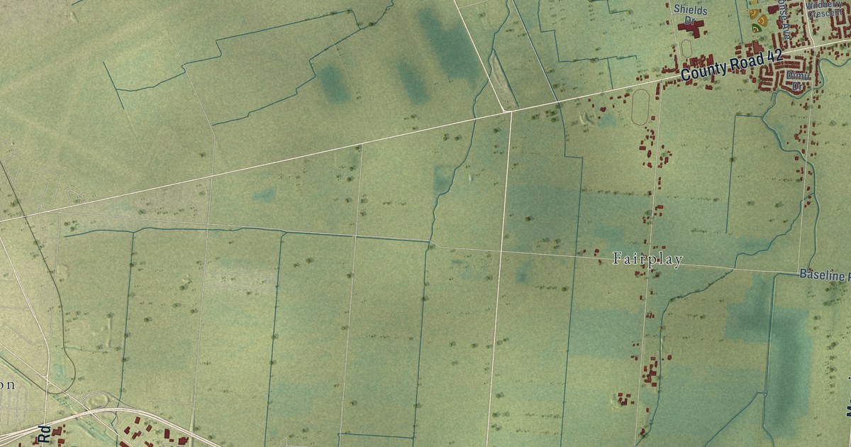
A detailed map of Tecumseh, Ontario, showing every building in its true location, the roads by name, and shaded topographical relief.
Read More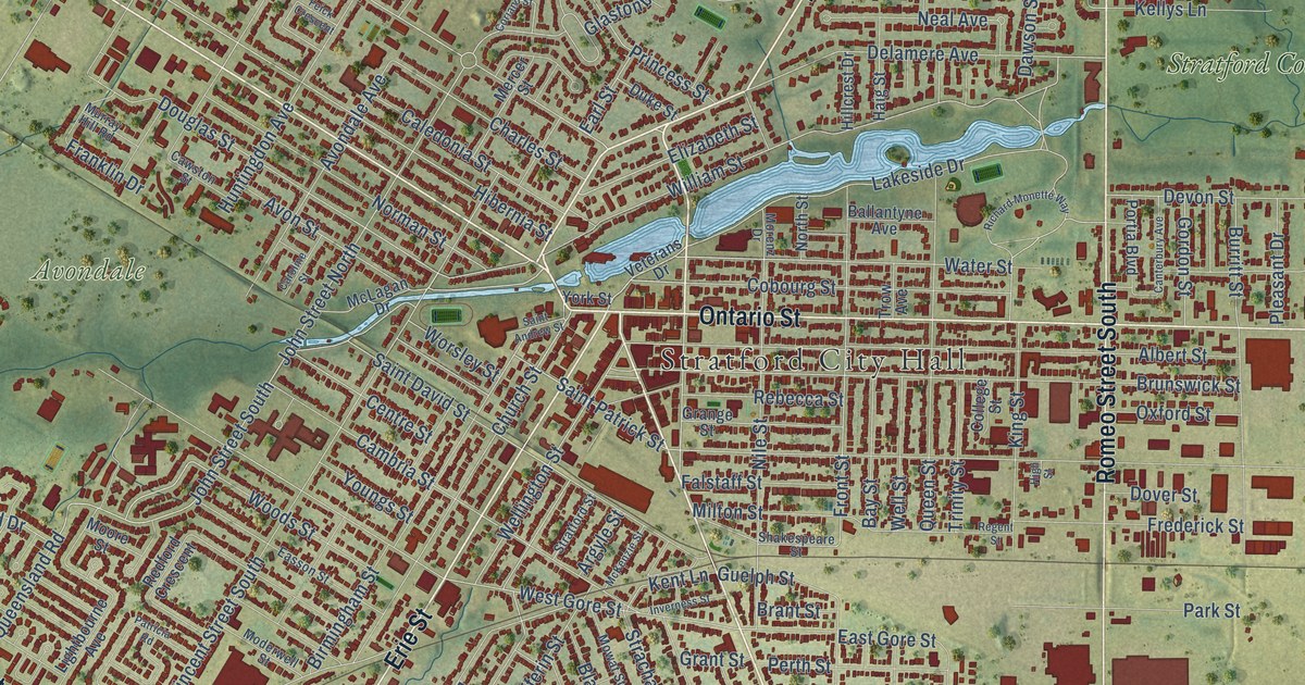
A detailed map of Stratford, Ontario, showing every building in its true location, the roads by name, and shaded topographical relief.
Read More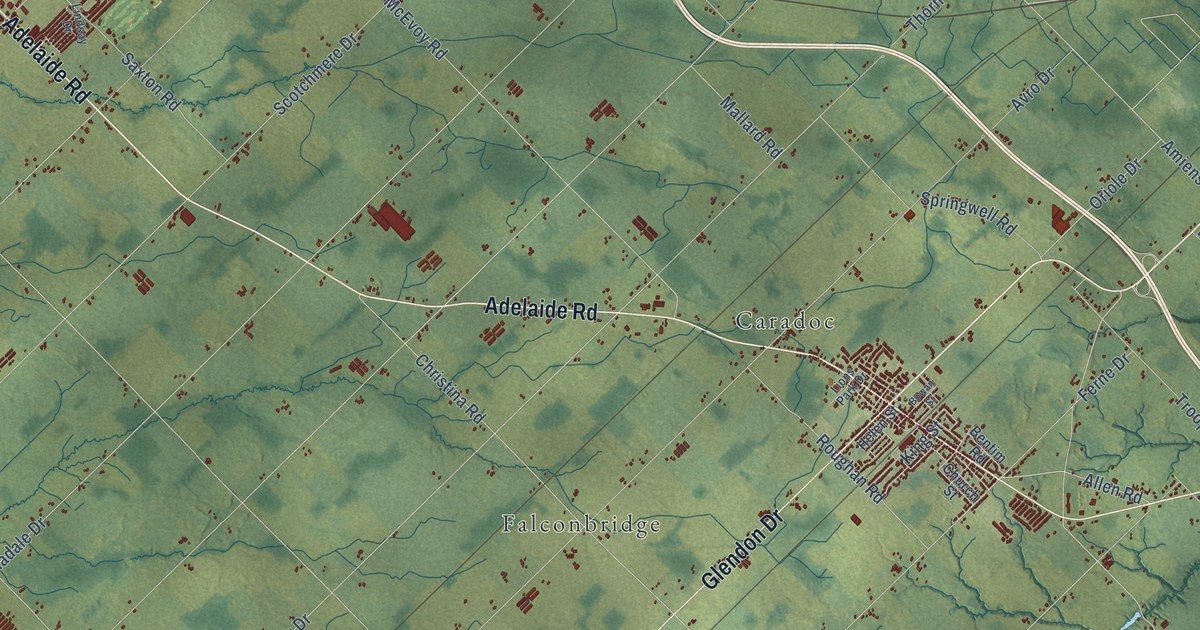
A detailed map of Strathroy-Caradoc, Ontario, showing every building in its true location, the roads by name, and shaded topographical relief.
Read More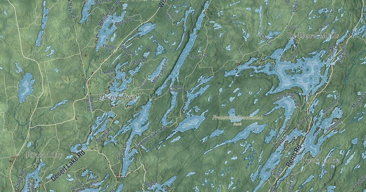
A detailed map of South Frontenac, Ontario, showing every building in its true location, the roads by name, and shaded topographical relief.
Read More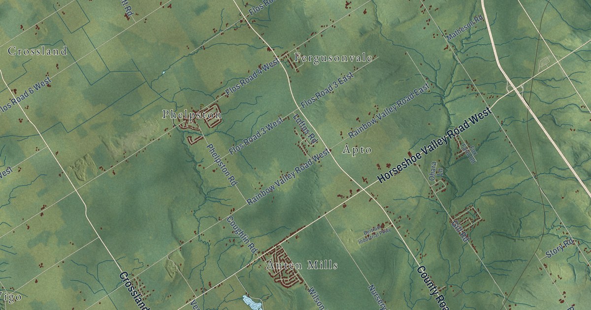
A detailed map of Springwater, Ontario, showing every building in its true location, the roads by name, and shaded topographical relief.
Read More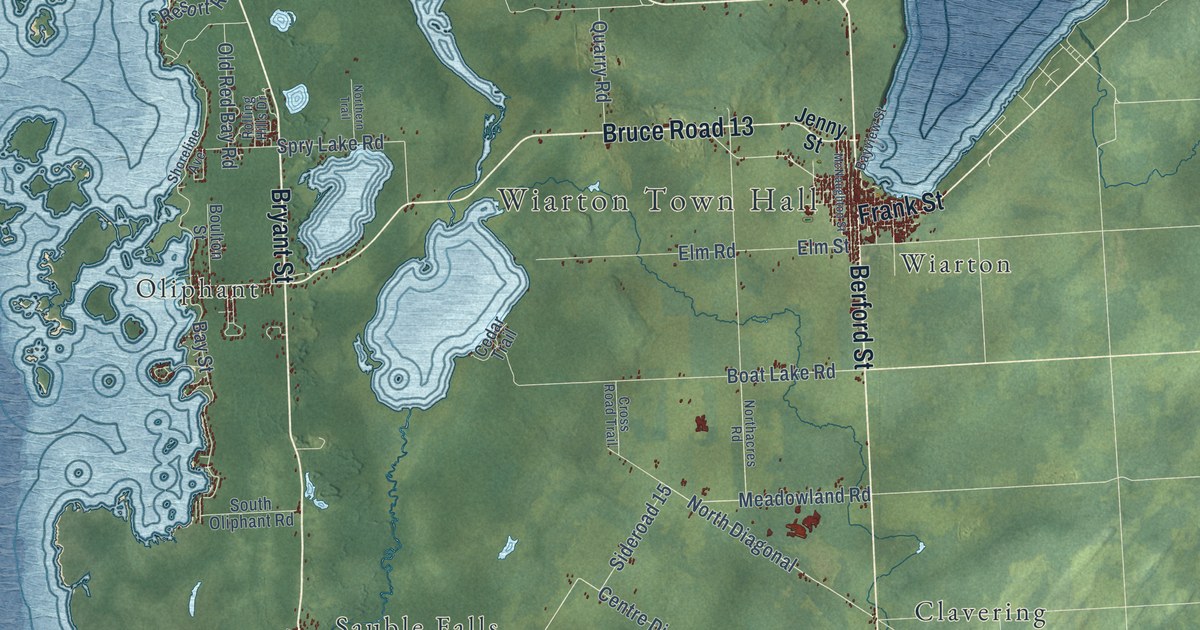
A detailed map of South Bruce Peninsula, Ontario, showing every building in its true location, the roads by name, and shaded topographical relief.
Read More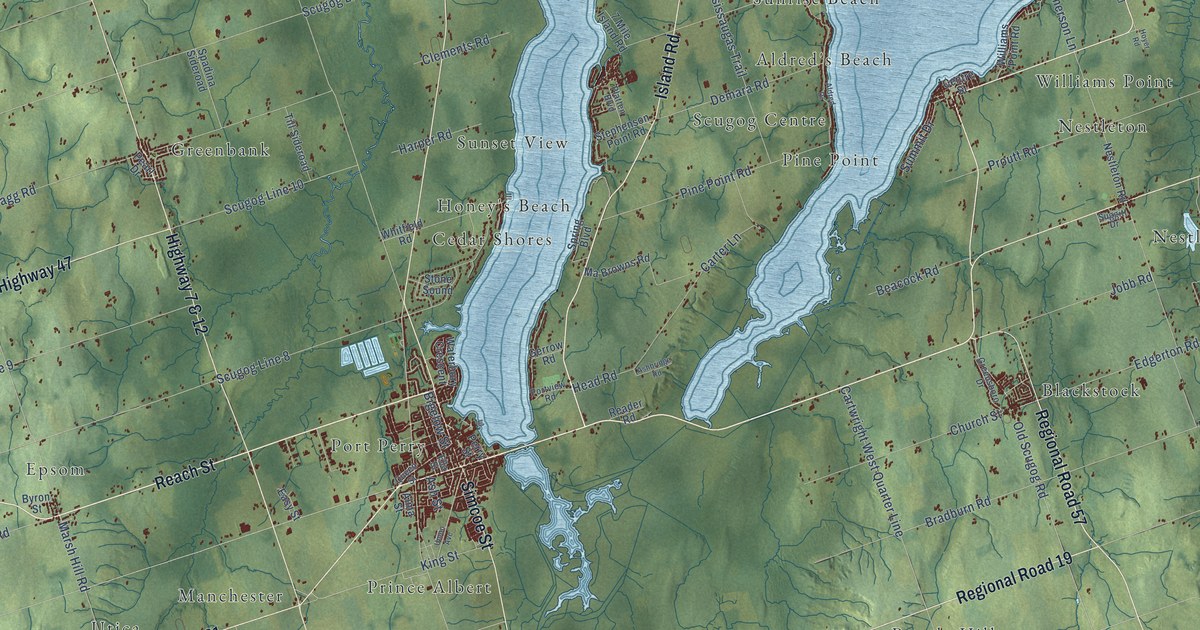
A detailed map of Scugog, Ontario, showing every building in its true location, the roads by name, and shaded topographical relief.
Read More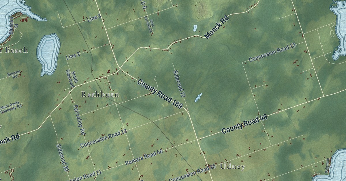
A detailed map of Ramara, Ontario, showing every building in its true location, the roads by name, and shaded topographical relief.
Read More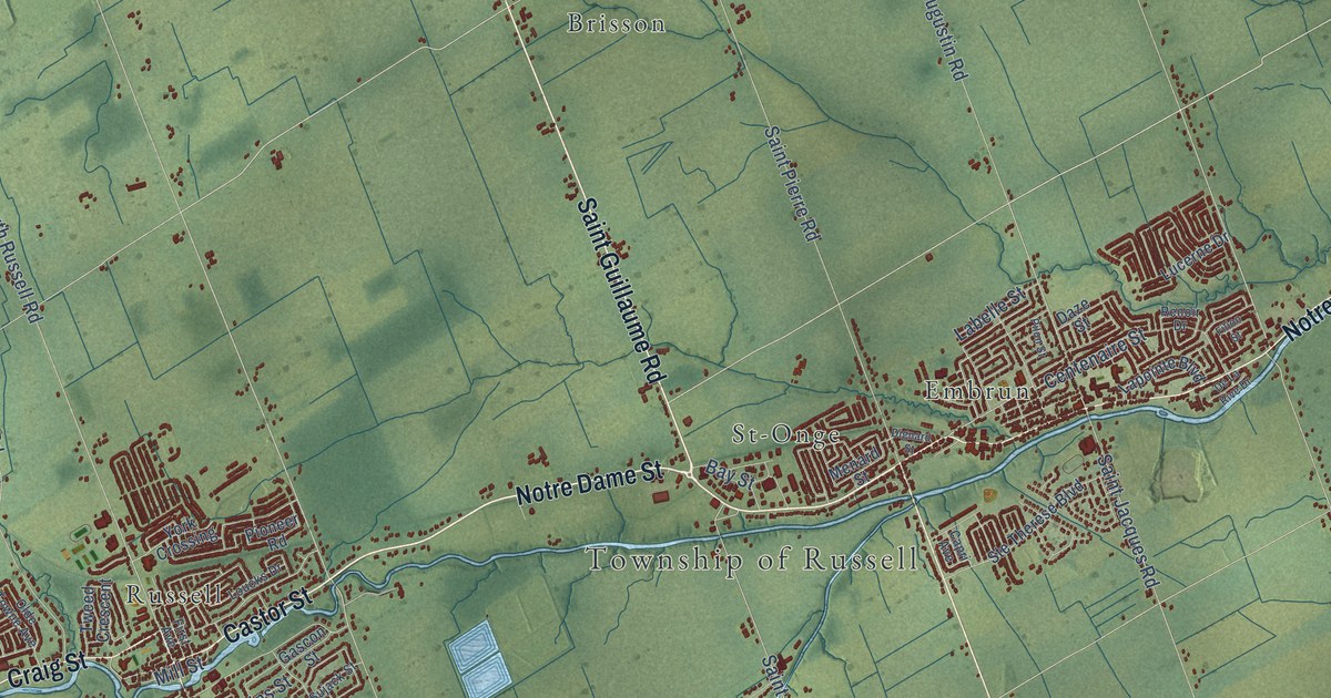
A detailed map of Russell Township, Ontario, showing every building in its true location, the roads by name, and shaded topographical relief.
Read More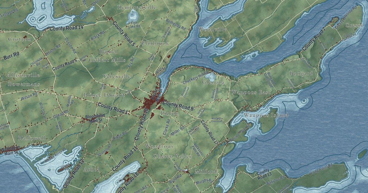
A detailed map of Prince Edward County, Ontario, showing every building in its true location, the roads by name, and shaded topographical relief.
Read More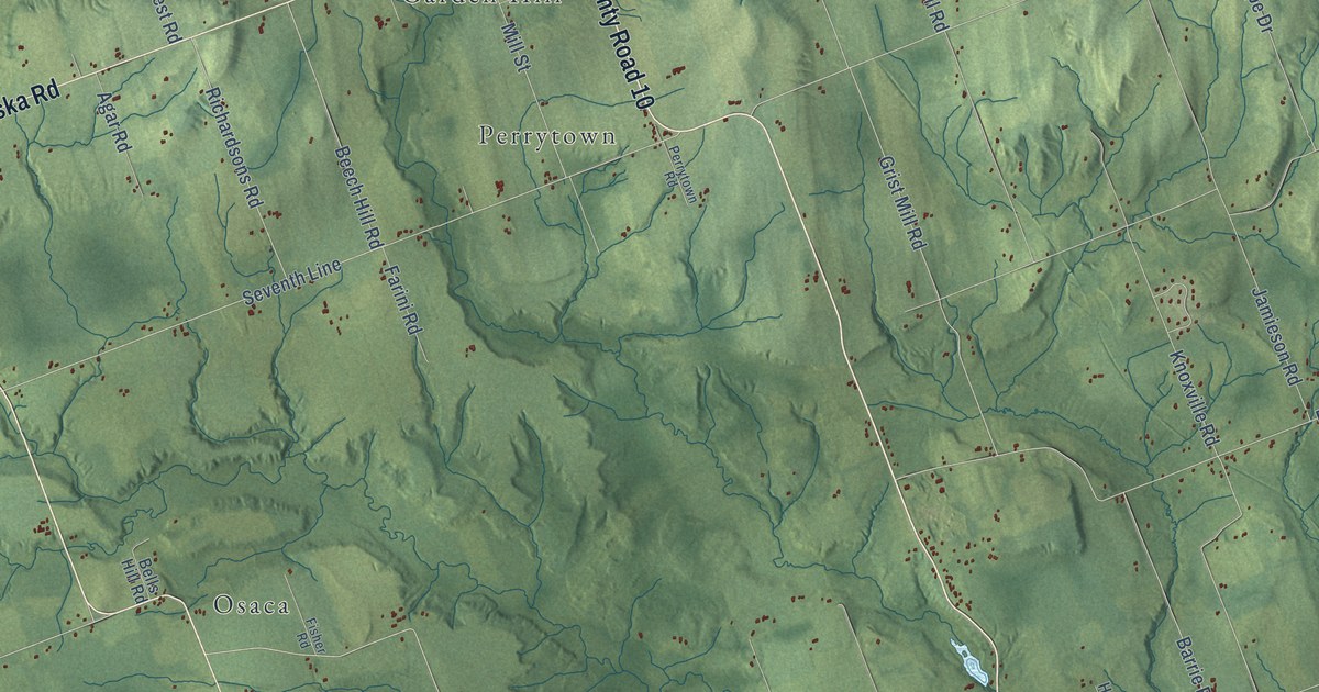
A detailed map of Port Hope, Ontario, showing every building in its true location, the roads by name, and shaded topographical relief.
Read More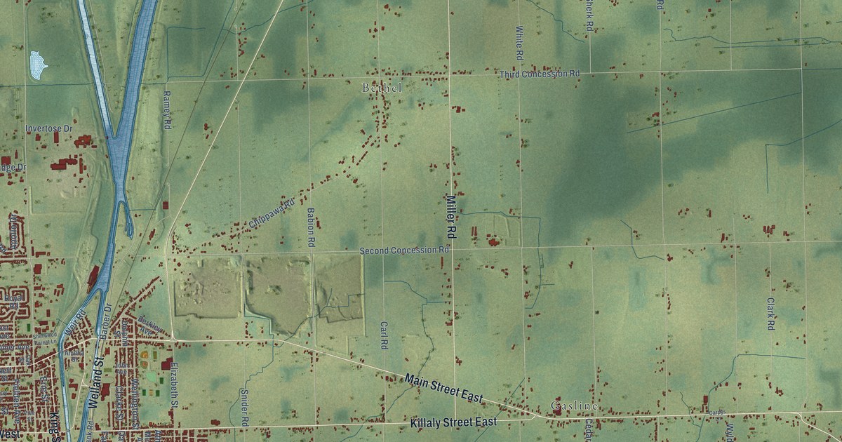
A detailed map of Port Colborne, Ontario, showing every building in its true location, the roads by name, and shaded topographical relief.
Read More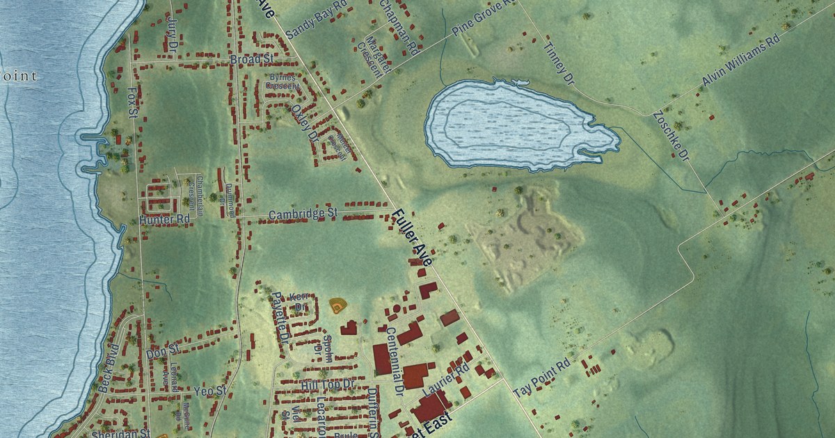
A detailed map of Penetanguishene, Ontario, showing every building in its true location, the roads by name, and shaded topographical relief.
Read More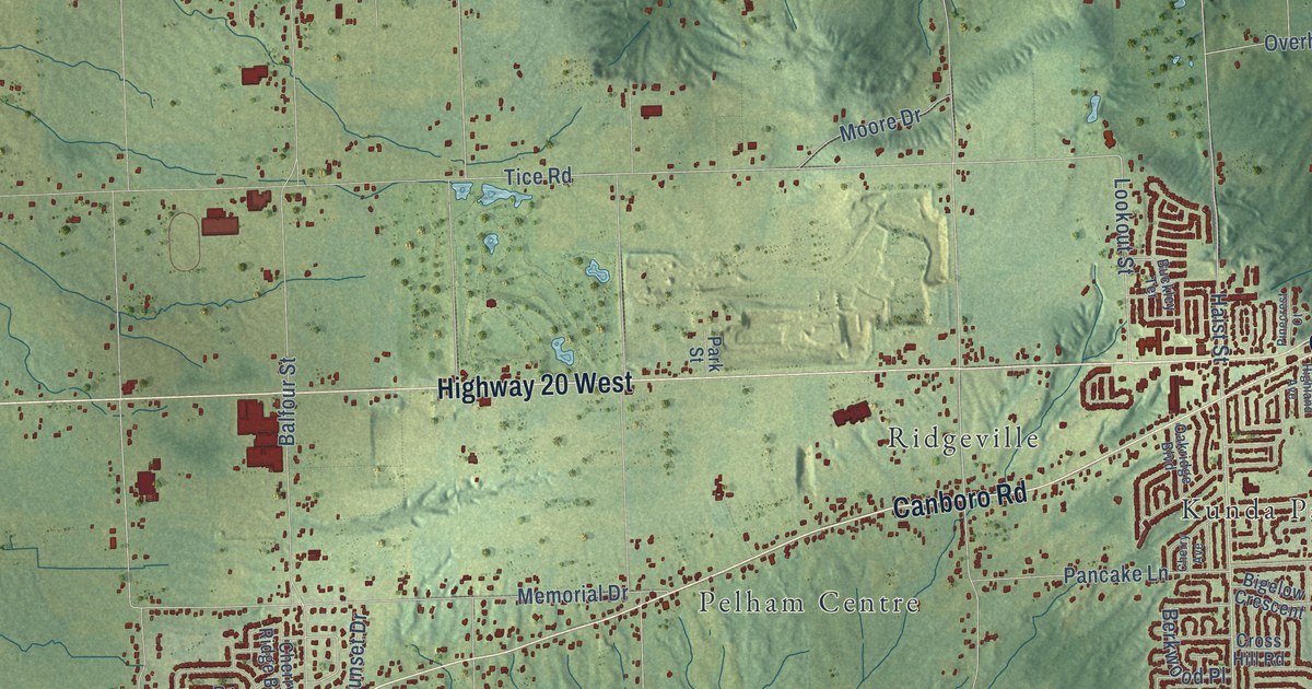
A detailed map of Pelham, Ontario, showing every building in its true location, the roads by name, and shaded topographical relief.
Read More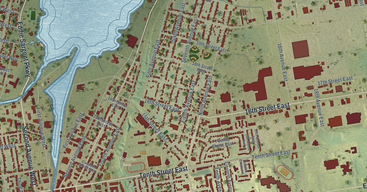
A detailed map of Owen Sound, Ontario, showing every building in its true location, the roads by name, and shaded topographical relief.
Read More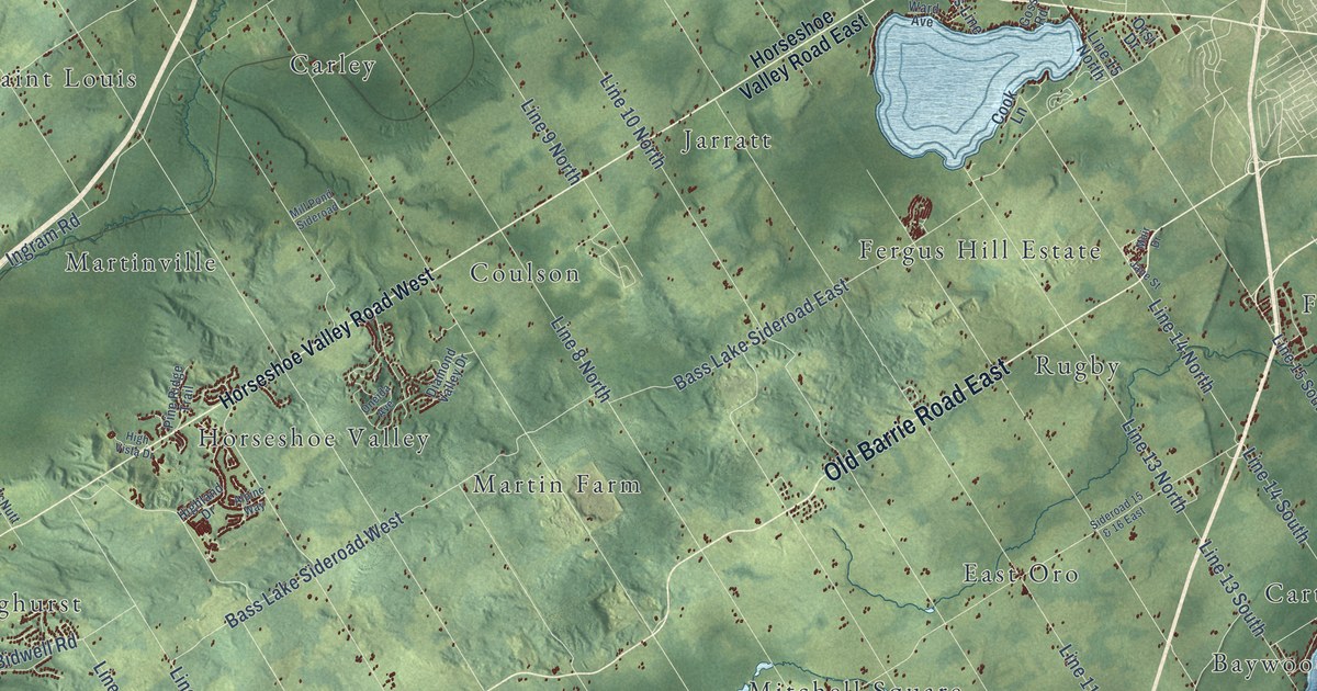
A detailed map of Oro-Medonte, Ontario, showing every building in its true location, the roads by name, and shaded topographical relief.
Read More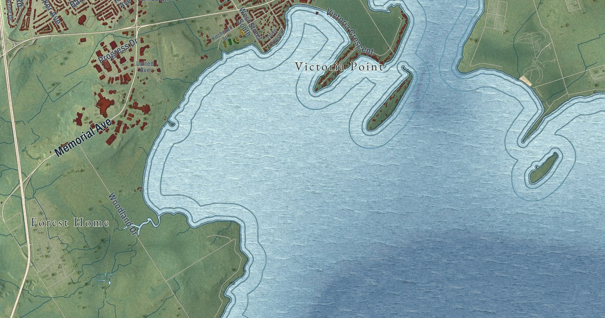
A detailed map of Orillia, Ontario, showing every building in its true location, the roads by name, and shaded topographical relief.
Read More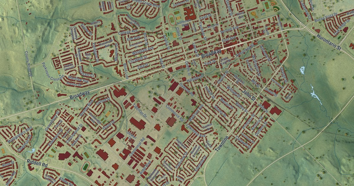
A detailed map of Orangeville, Ontario, showing every building in its true location, the roads by name, and shaded topographical relief.
Read More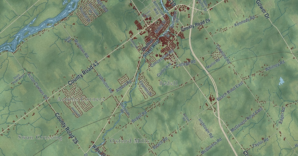
A detailed map of North Grenville, Ontario, showing every building in its true location, the roads by name, and shaded topographical relief.
Read More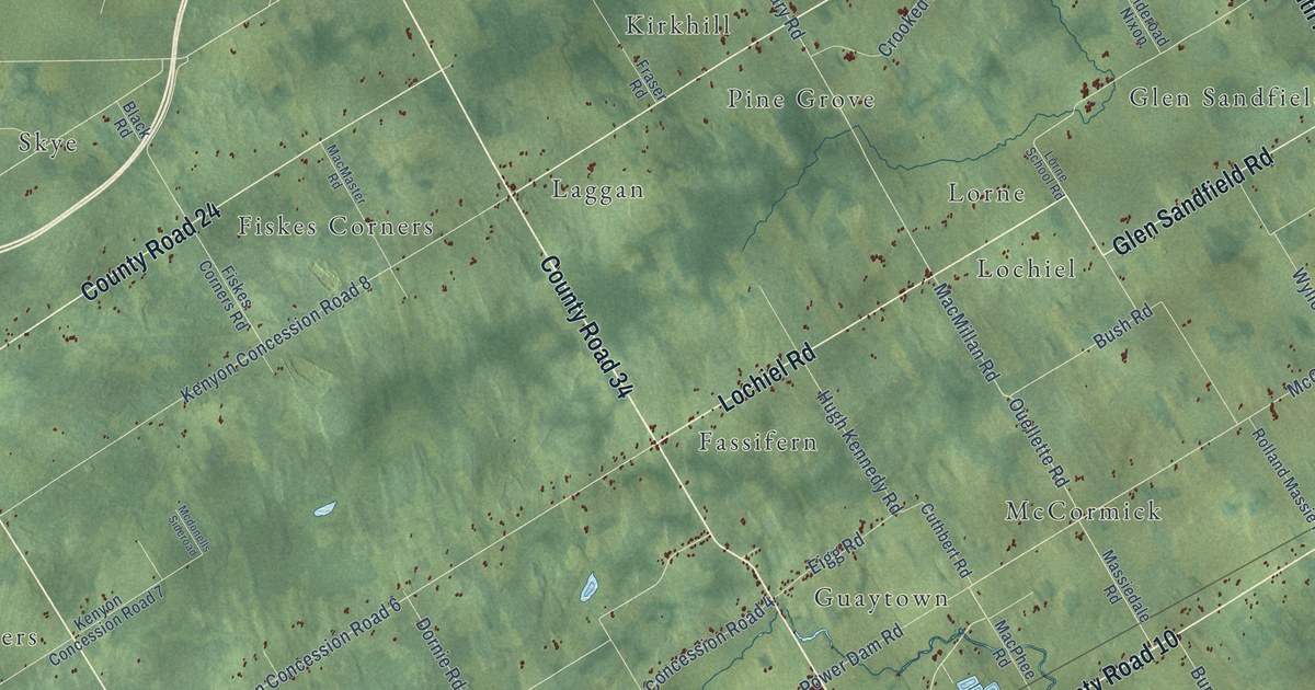
A detailed map of North Glengarry, Ontario, showing every building in its true location, the roads by name, and shaded topographical relief.
Read More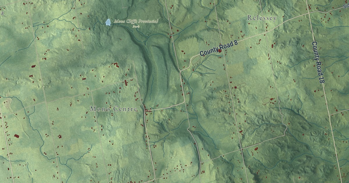
A detailed map of Mono, Ontario, showing every building in its true location, the roads by name, and shaded topographical relief.
Read More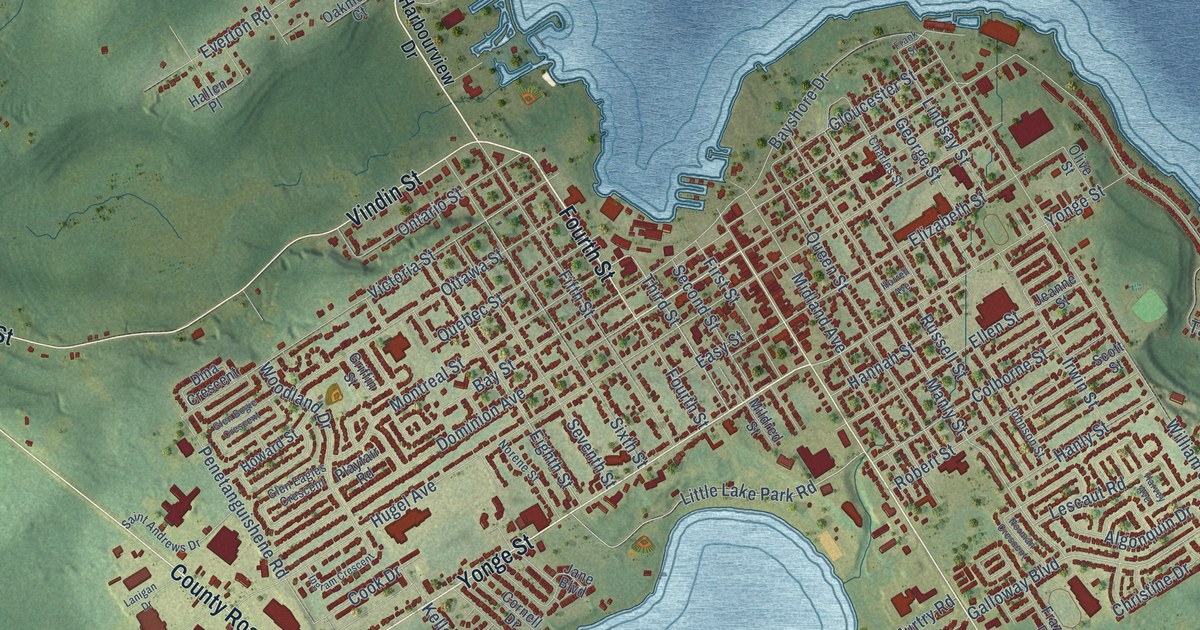
A detailed map of Midland, Ontario, showing every building in its true location, the roads by name, and shaded topographical relief.
Read More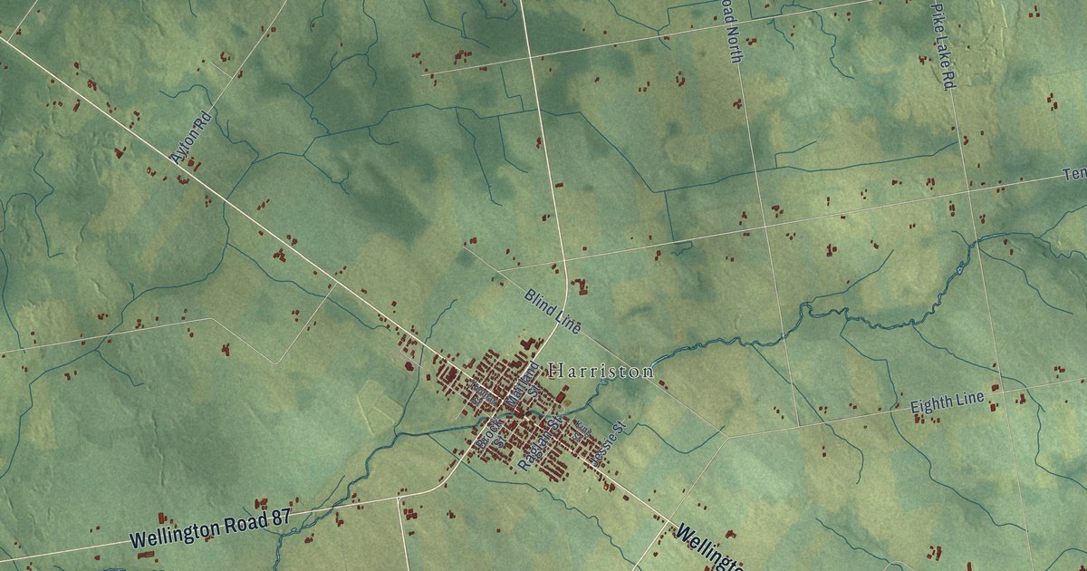
A detailed map of Minto, Ontario, showing every building in its true location, the roads by name, and shaded topographical relief.
Read More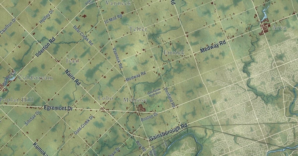
A detailed map of Middlesex Centre, Ontario, showing every building in its true location, the roads by name, and shaded topographical relief.
Read More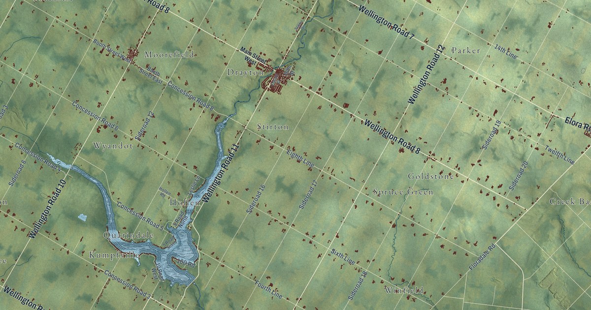
A detailed map of Mapleton, Ontario, showing every building in its true location, the roads by name, and shaded topographical relief.
Read More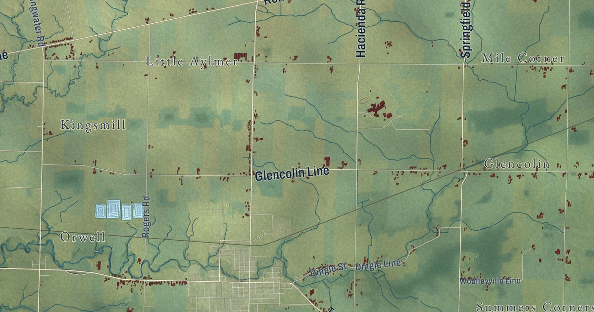
A detailed map of Malahide, Ontario, showing every building in its true location, the roads by name, and shaded topographical relief.
Read More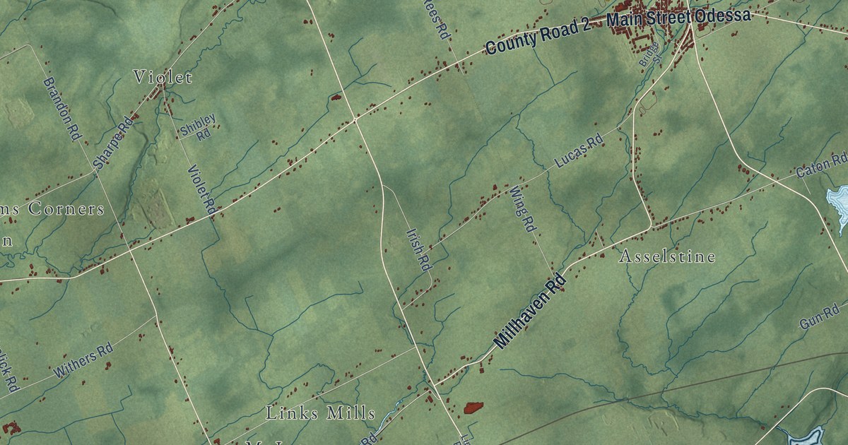
A detailed map of Loyalist, Ontario, showing every building in its true location, the roads by name, and shaded topographical relief.
Read More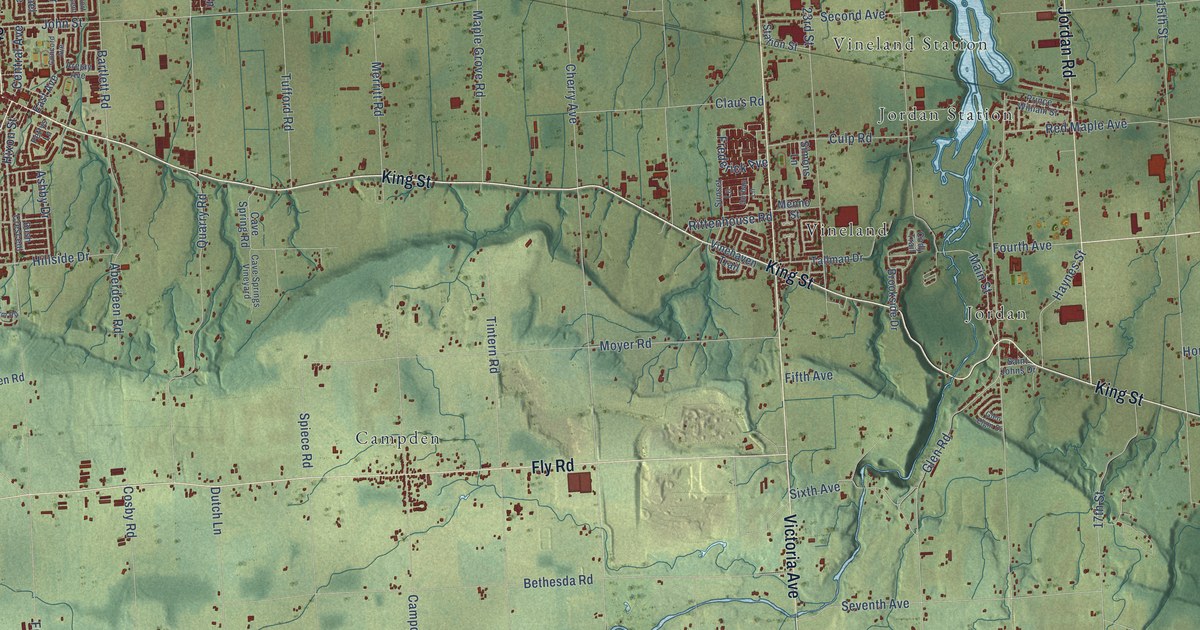
A detailed map of Lincoln, Ontario, showing every building in its true location, the roads by name, and shaded topographical relief.
Read More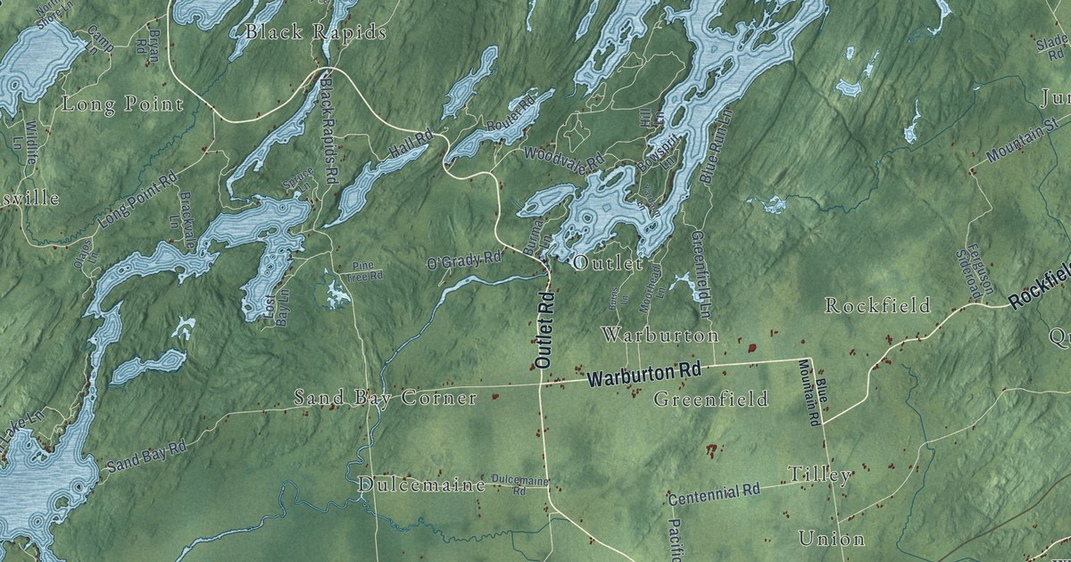
A detailed map of Leeds and the Thousand Islands, Ontario, showing every building in its true location, the roads by name, and shaded topographical relief.
Read More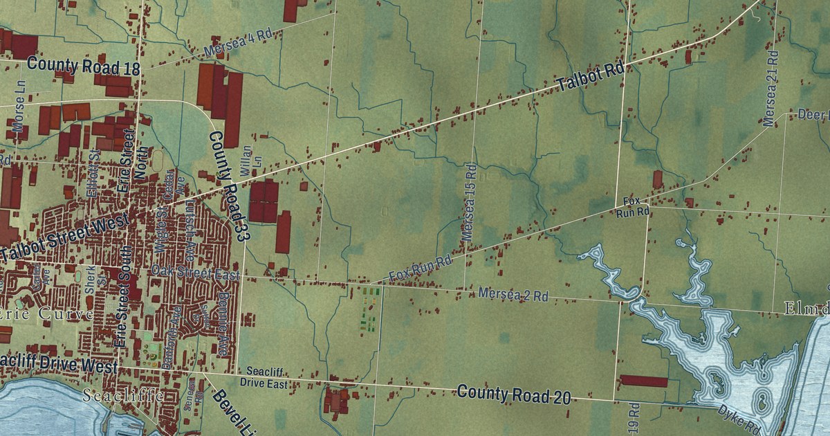
A detailed map of Leamington, Ontario, showing every building in its true location, the roads by name, and shaded topographical relief.
Read More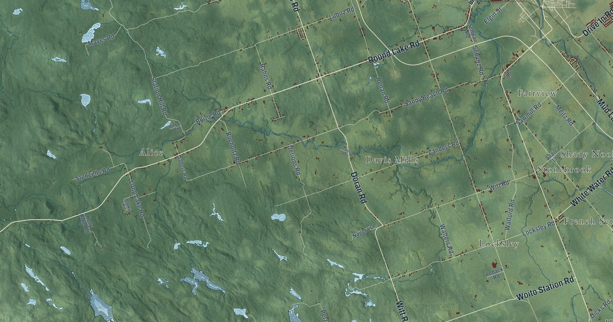
A detailed map of Laurentian Valley, Ontario, showing every building in its true location, the roads by name, and shaded topographical relief.
Read More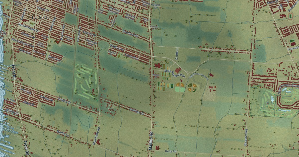
A detailed map of LaSalle, Ontario, showing every building in its true location, the roads by name, and shaded topographical relief.
Read More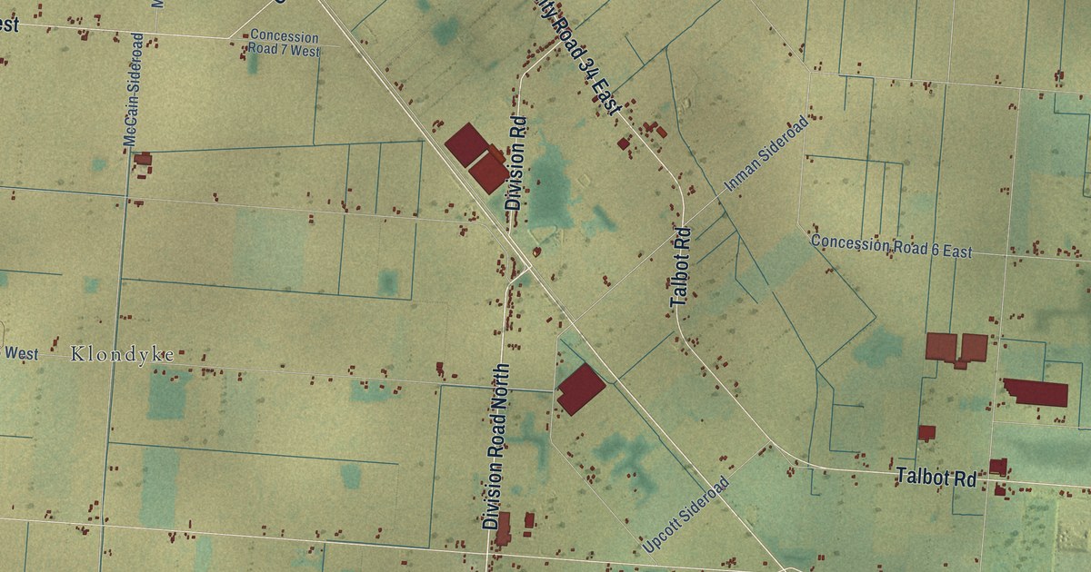
A detailed map of Kingsville, Ontario, showing every building in its true location, the roads by name, and shaded topographical relief.
Read More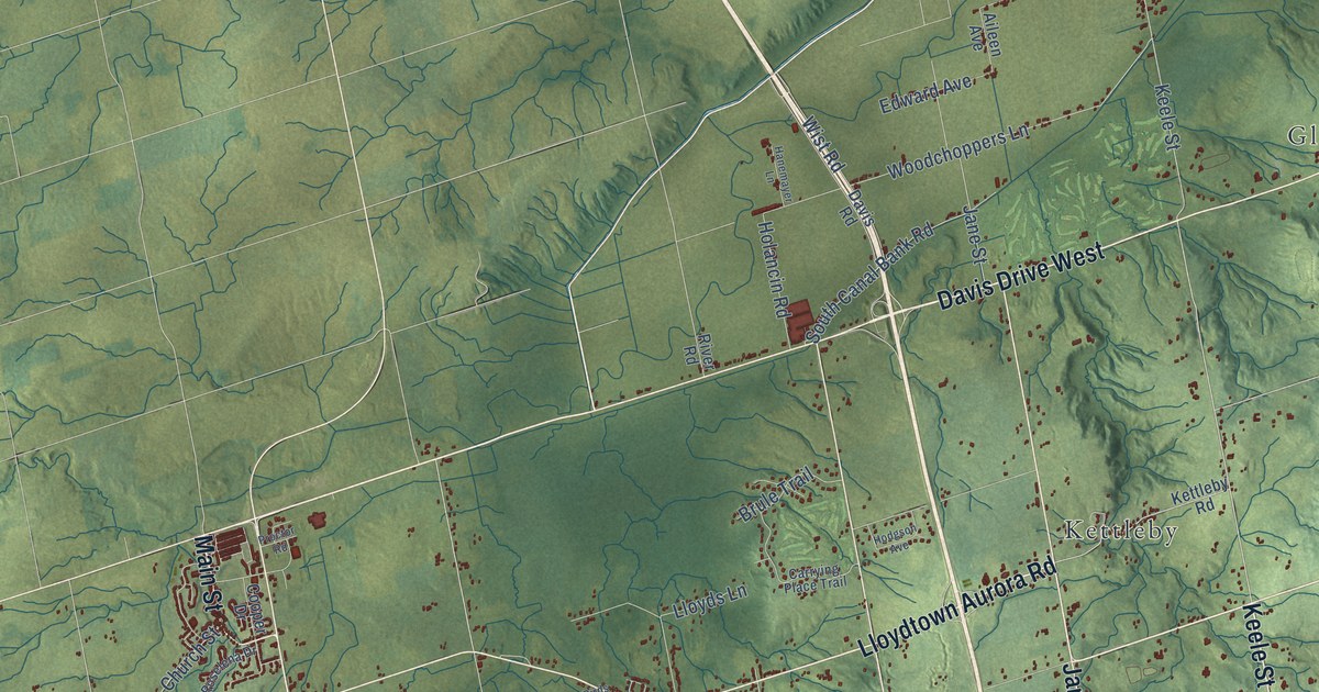
A detailed map of King Township, Ontario, showing every building in its true location, the roads by name, and shaded topographical relief.
Read More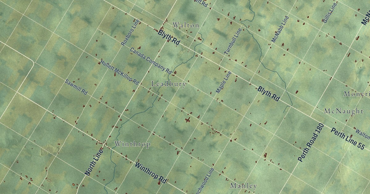
A detailed map of Huron East, Ontario, showing every building in its true location, the roads by name, and shaded topographical relief.
Read More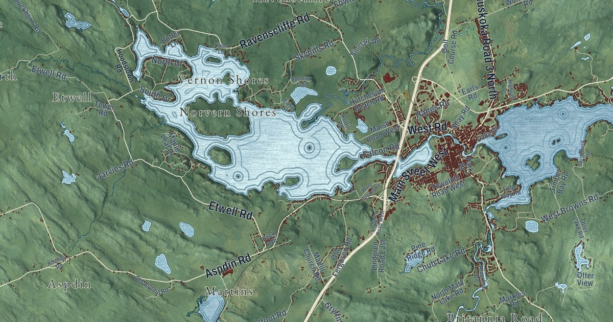
A detailed map of Huntsville, Ontario, showing every building in its true location, the roads by name, and shaded topographical relief.
Read More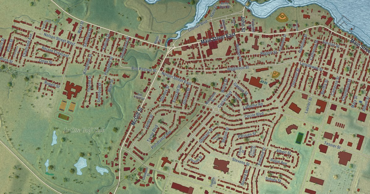
A detailed map of Hawkesbury, Ontario, showing every building in its true location, the roads by name, and shaded topographical relief.
Read More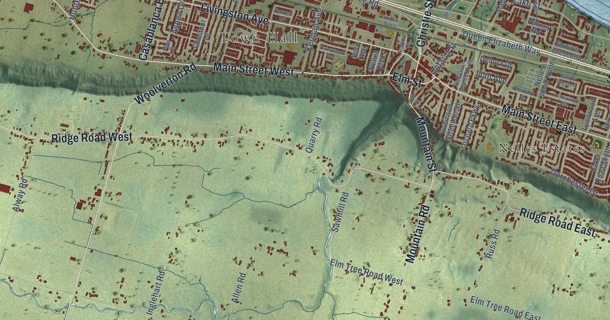
A detailed map of Grimsby, Ontario, showing every building in its true location, the roads by name, and shaded topographical relief.
Read More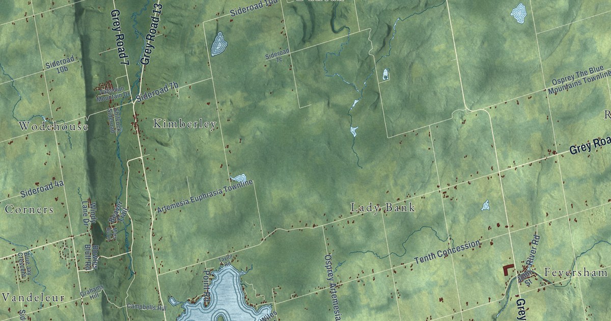
A detailed map of Grey Highlands, Ontario, showing every building in its true location, the roads by name, and shaded topographical relief.
Read More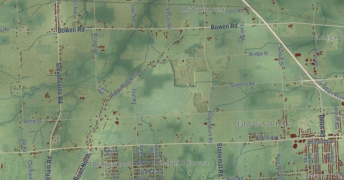
A detailed map of Fort Erie, Ontario, showing every building in its true location, the roads by name, and shaded topographical relief.
Read More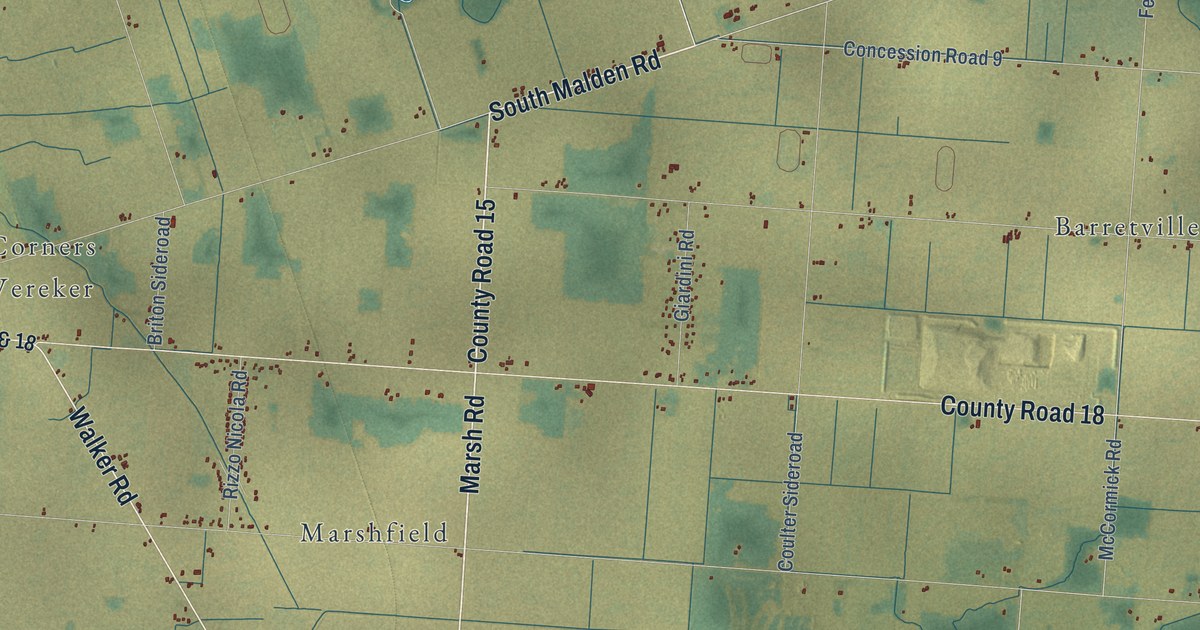
A detailed map of Essex, Ontario, showing every building in its true location, the roads by name, and shaded topographical relief.
Read More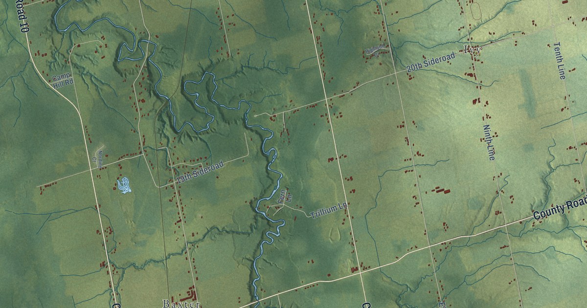
A detailed map of Essa, Ontario, showing every building in its true location, the roads by name, and shaded topographical relief.
Read More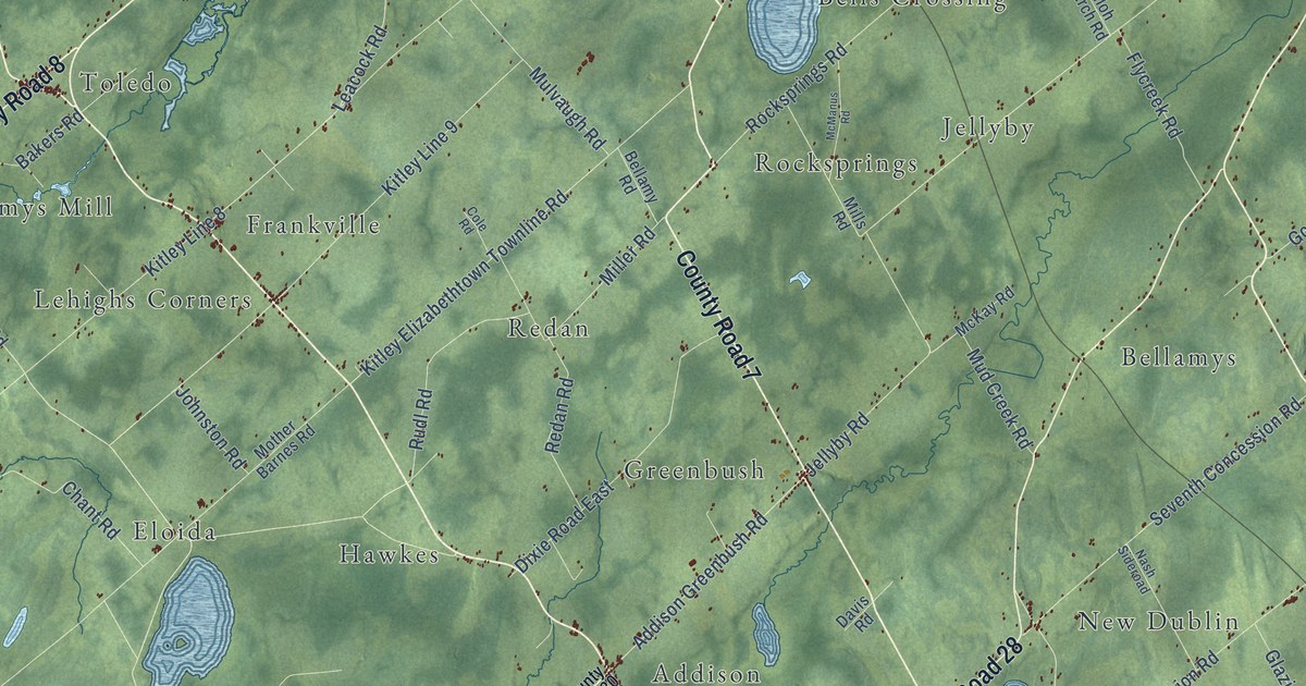
A detailed map of Elizabethtown-Kitley, Ontario, showing every building in its true location, the roads by name, and shaded topographical relief.
Read More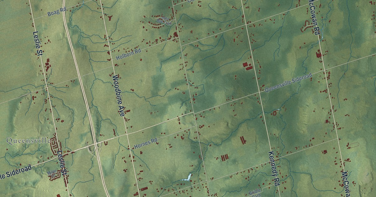
A detailed map of East Gwillimbury, Ontario, showing every building in its true location, the roads by name, and shaded topographical relief.
Read More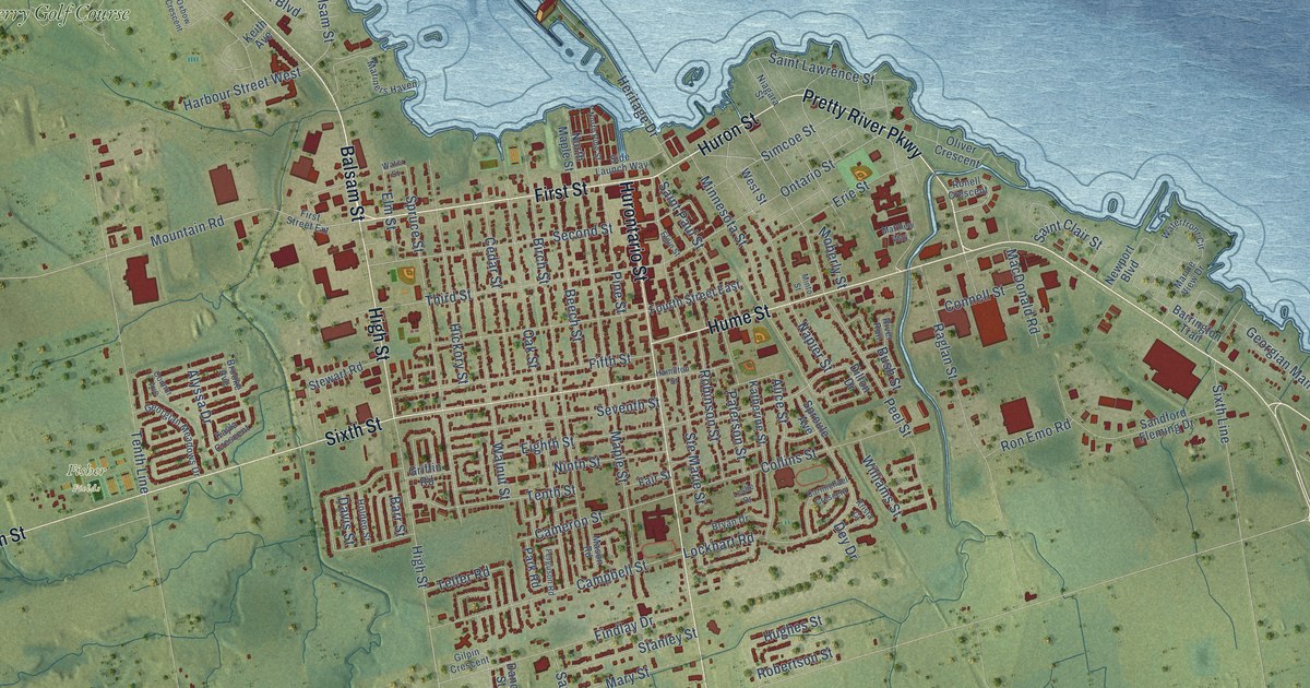
A detailed map of Collingwood, Ontario, showing every building in its true location, the roads by name, and shaded topographical relief.
Read More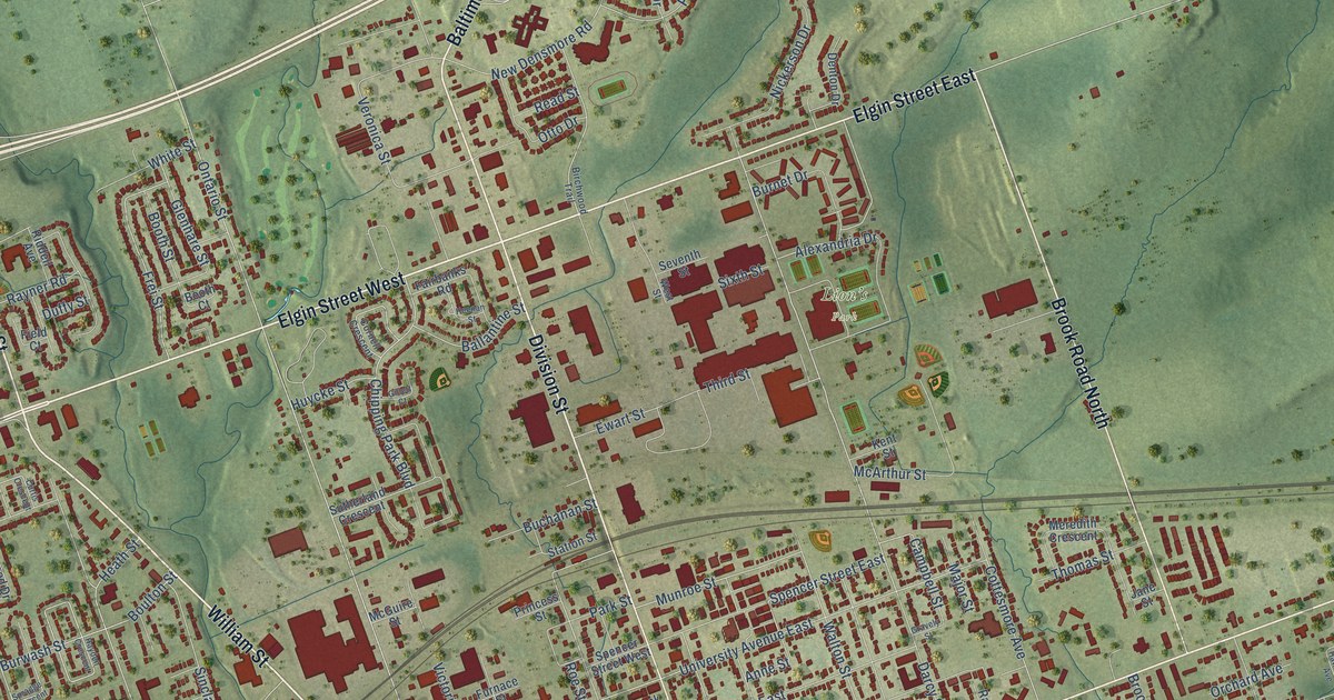
A detailed map of Cobourg, Ontario, showing every building in its true location, the roads by name, and shaded topographical relief.
Read More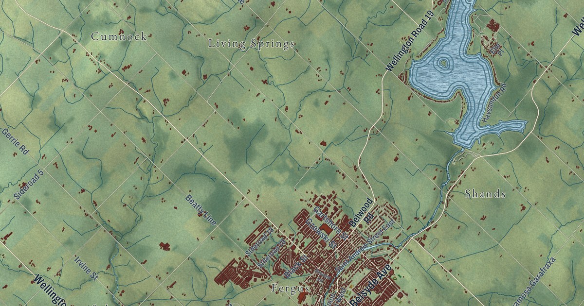
A detailed map of Centre Wellington, Ontario, showing every building in its true location, the roads by name, and shaded topographical relief.
Read More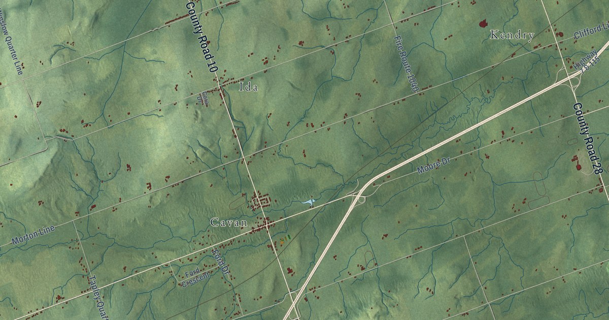
A detailed map of Cavan Monaghan, Ontario, showing every building in its true location, the roads by name, and shaded topographical relief.
Read More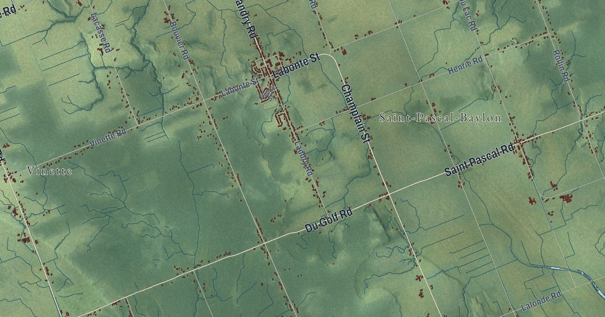
A detailed map of Clarence-Rockland, Ontario, showing every building in its true location, the roads by name, and shaded topographical relief.
Read More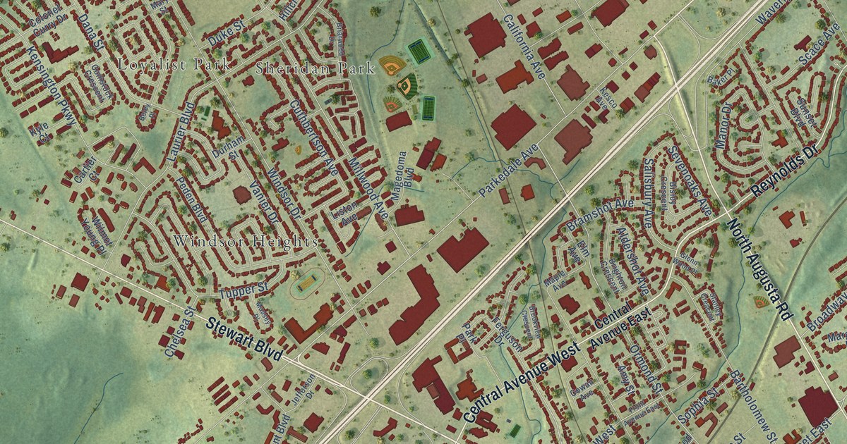
A detailed map of Brockville, Ontario, showing every building in its true location, the roads by name, and shaded topographical relief.
Read More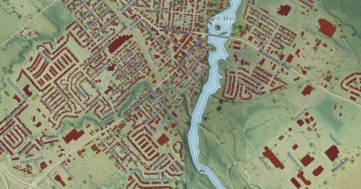
A detailed map of Arnprior, Ontario, showing every building in its true location, the roads by name, and shaded topographical relief.
Read More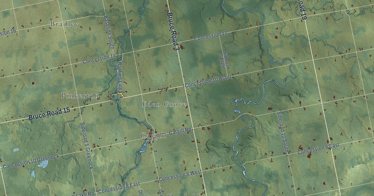
A detailed map of Brockton, Ontario, showing every building in its true location, the roads by name, and shaded topographical relief.
Read More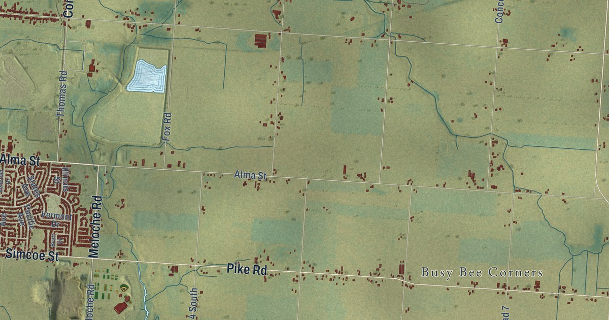
A detailed map of Amherstburg, Ontario, showing every building in its true location, the roads by name, and shaded topographical relief.
Read More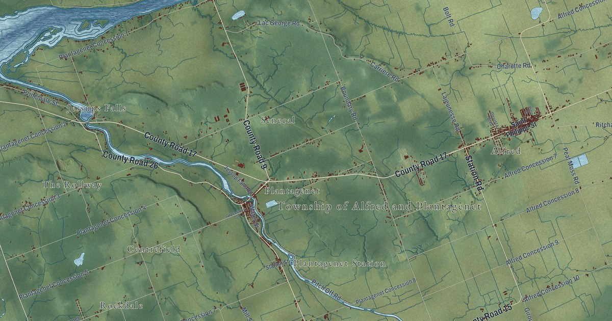
A detailed map of Alfred and Plantagenet, Ontario, showing every building in its true location, the roads by name, and shaded topographical relief.
Read More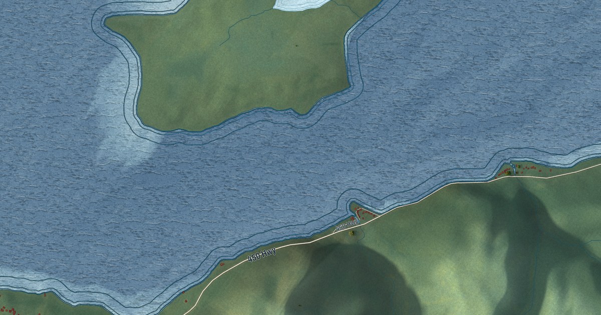
A detailed map of York Harbour, Newfoundland and Labrador, showing every building in its true location, the roads by name, and shaded topographical relief.
Read More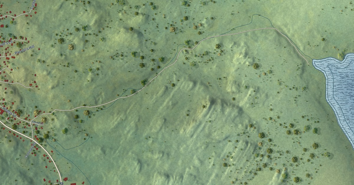
A detailed map of Winterton, Newfoundland and Labrador, showing every building in its true location, the roads by name, and shaded topographical relief.
Read More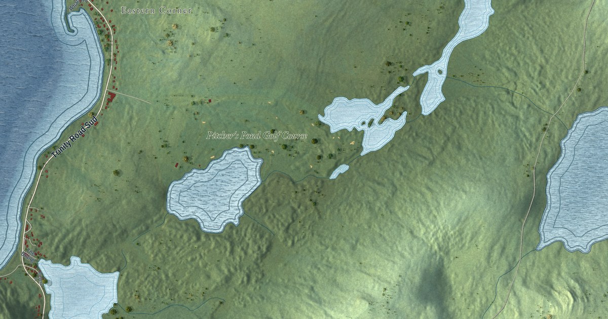
A detailed map of Whiteway, Newfoundland and Labrador, showing every building in its true location, the roads by name, and shaded topographical relief.
Read More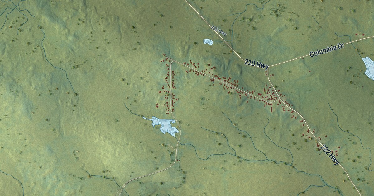
A detailed map of Winterland, Newfoundland and Labrador, showing every building in its true location, the roads by name, and shaded topographical relief.
Read More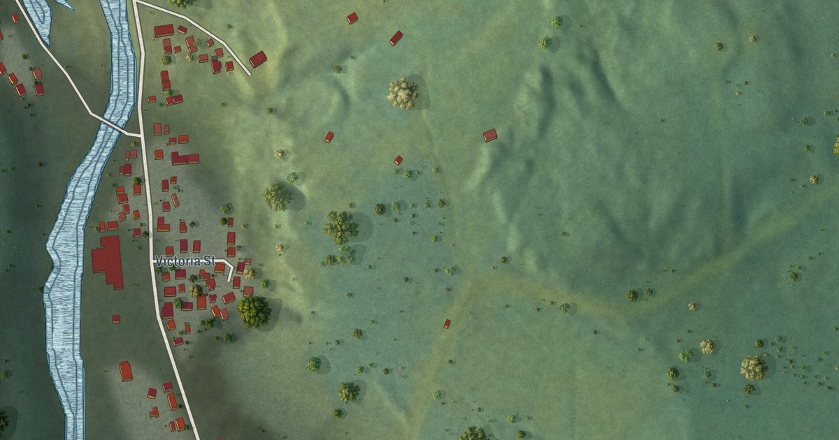
A detailed map of Trout River, Newfoundland and Labrador, showing every building in its true location, the roads by name, and shaded topographical relief.
Read More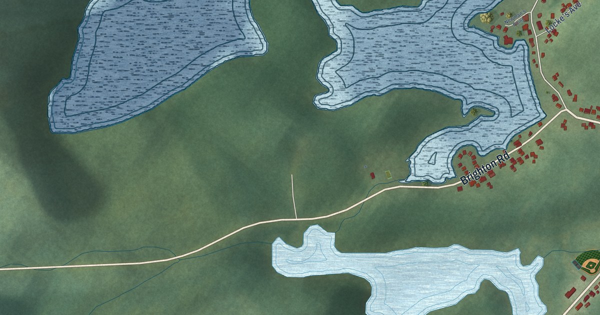
A detailed map of Triton, Newfoundland and Labrador, showing every building in its true location, the roads by name, and shaded topographical relief.
Read More















